Top 11 Natural Monuments around Reilhanette
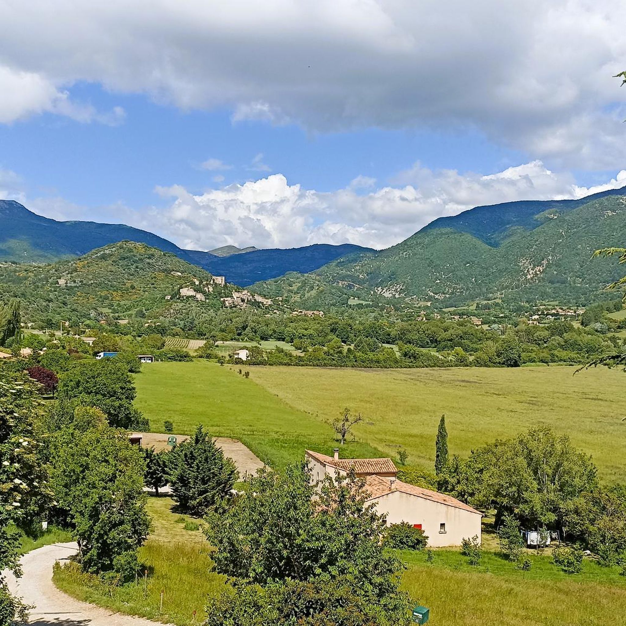
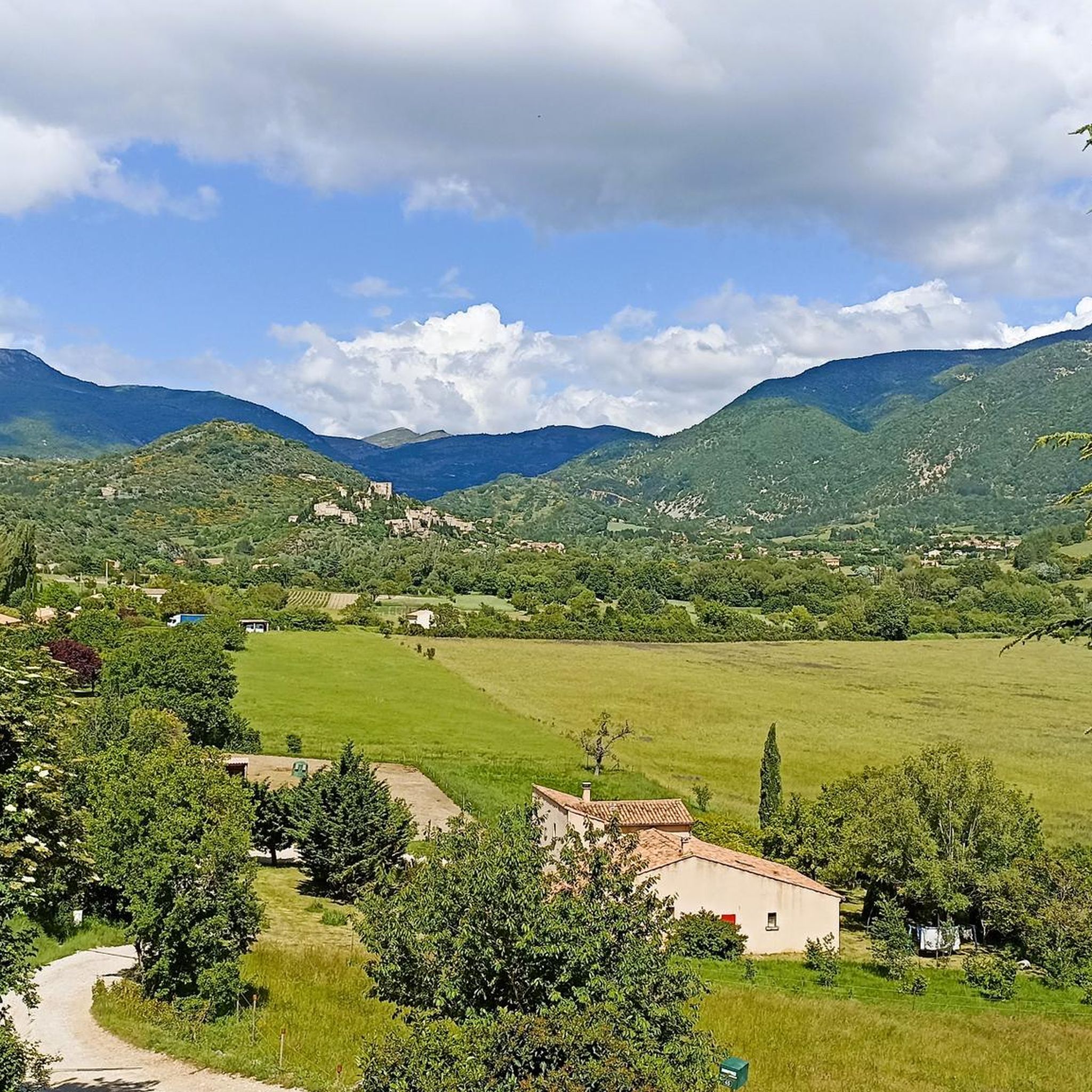
Best natural monuments around Reilhanette are found in a landscape rich in natural beauty within the Drôme department of France. The region is characterized by prominent natural features, including significant mountains and river gorges. Reilhanette is situated at the confluence of the Toulourenc and Anary rivers, offering access to diverse outdoor environments. The area provides opportunities to explore varied geological formations and unique ecosystems.
Best natural monuments around Reilhanette
- The most popular natural monuments is Final 6 km to the…
Last updated: July 2, 2026
Mont Ventoux summit
Highlight • Summit
Translated by Google •
Tip by

Fontaube Pass
Highlight • Mountain Pass
Translated by Google •
Tip by
Sign up now to discover places like this
Get recommendations on the best single tracks, peaks, & plenty of other exciting outdoor places.
Sign up for free
Final 6 km to the summit of Mont Ventoux
Highlight • Climb
Translated by Google •
Tip by

Montagne de Vic
Highlight (Segment) • Summit
Translated by Google •
Tip by

The Toulourenc Valley
Highlight • Gorge
Translated by Google •
Tip by
Sign up for free to discover even more natural monuments around Reilhanette.
Sign up for free
Already have an account?
Start today with a free account
Your next adventure awaits.
Login or Signup
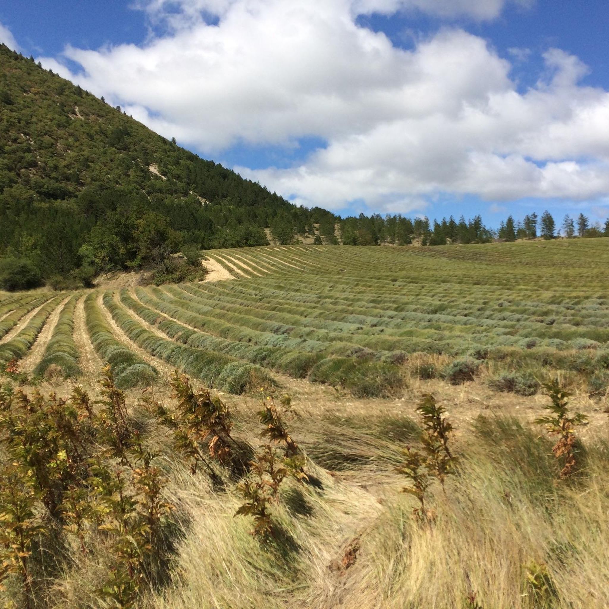
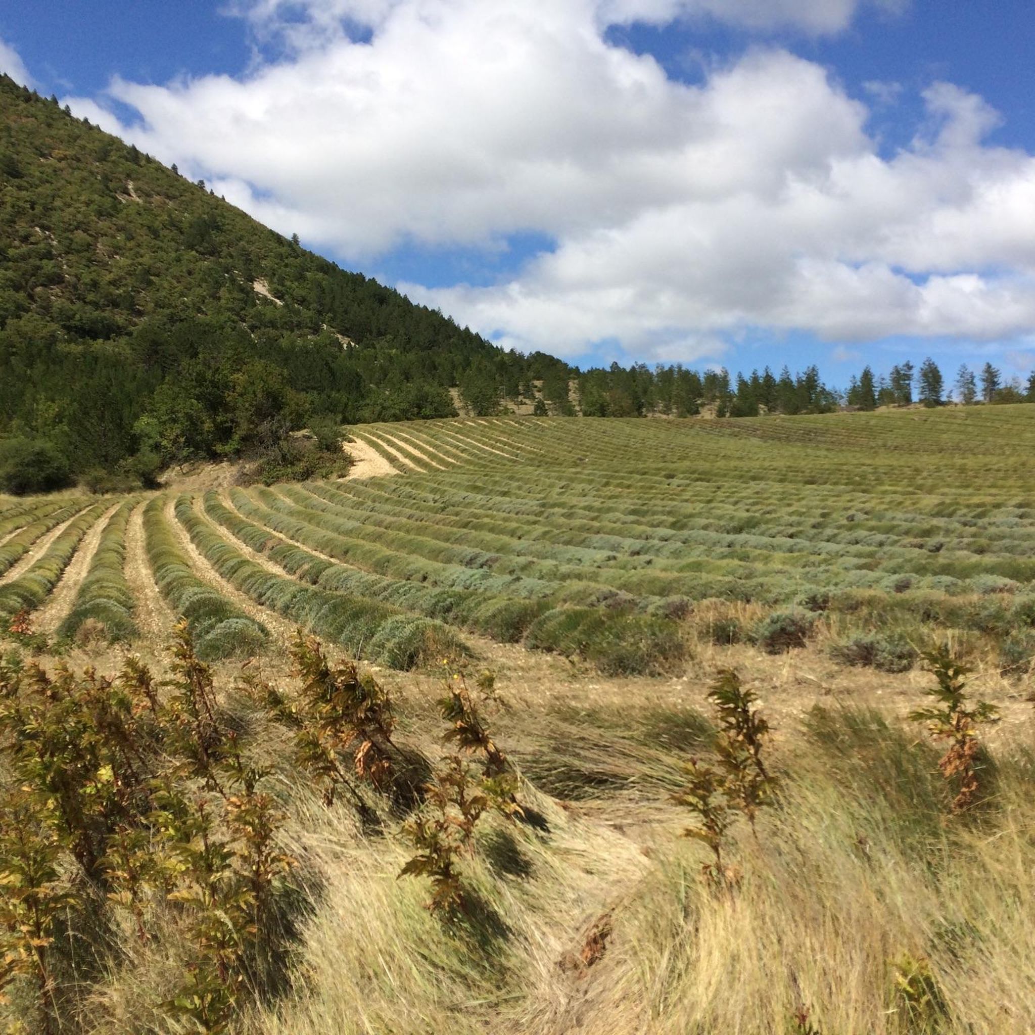
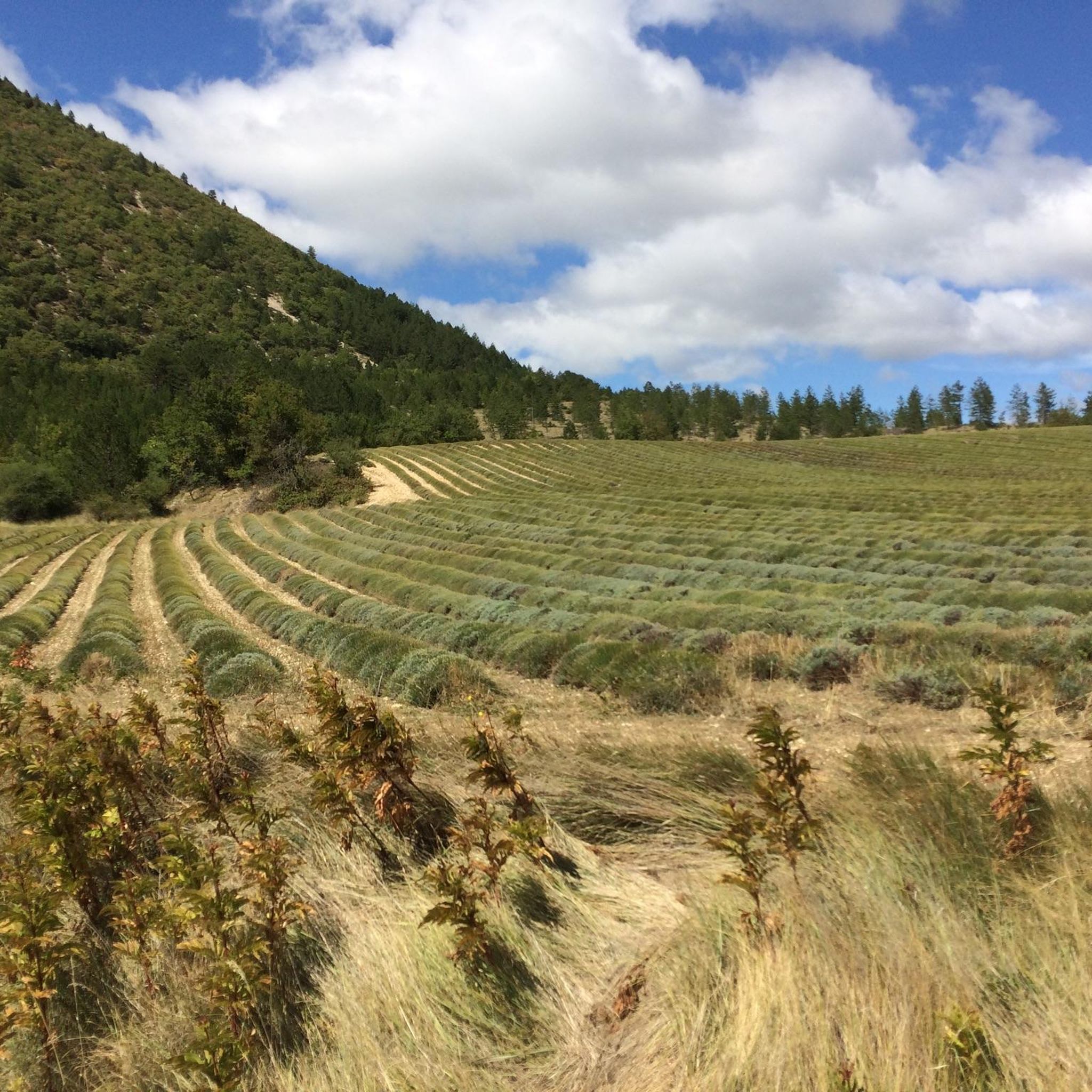
Tips from the Community

The last few kilometers are no longer that steep, apart from a few ramps, and the destination is in sight.
0
0

and fight the climbs once again ;)
0
0


Good mental training!
0
0

Very welcome after the first climb, unfortunately only open during the season.
0
0

The last 6 km can be very difficult, although only the last 1.5 km have double-digit gradients. Here the wind also has free rein
0
0

The last 6 km. From here you can see where you need to be. With some wind it can be another 6 tough kilometers!
1
0

But there were already 15.
0
1
Frequently Asked Questions
What are some of the most popular natural monuments to visit around Reilhanette?
Visitors frequently enjoy the challenging ascent to Final 6 km to the summit of Mont Ventoux, known for its panoramic views. Another highly regarded spot is The Toulourenc Valley, an impressive gorge carved by a torrential river. The Montagne de Vic also offers extensive views and historical insights.
Are there natural monuments suitable for families around Reilhanette?
Yes, the region offers several options. While some climbs like Mont Ventoux can be challenging, areas around the Toulourenc Valley provide impressive natural scenery that can be explored with varying levels of difficulty. The Mont-Ventoux Regional Natural Park, which encompasses much of the area, is ideal for various outdoor activities, including leisurely family walks.
What kind of outdoor activities can I do near these natural monuments?
The natural monuments around Reilhanette are excellent starting points for various outdoor activities. You can find numerous running trails, including moderate loops from Reilhanette itself, by exploring the Running Trails around Reilhanette guide. For cyclists, there are challenging road cycling routes, such as the Brantes – Col de Veaux climb loop, detailed in the Road Cycling Routes around Reilhanette guide, and touring bicycle options like the Mont Ventoux route from Montbrun-les-Bains, found in the Cycling around Reilhanette guide.
What is the best time of year to visit the natural monuments in the Reilhanette area?
The region is beautiful year-round, but the best time depends on your activity. Spring and autumn offer pleasant temperatures for hiking and cycling. During spring, the lavender fields around Sault are a renowned spectacle. Summer is popular, but can be hot, especially for strenuous climbs like Mont Ventoux. In spring, be prepared for cooler temperatures and wind at higher altitudes; even if it's 20 degrees in the valley, it can be below freezing at the summit of Mont Ventoux.
Are there any natural monuments with historical significance in the area?
Yes, the Montagne de Vic offers not only breathtaking views but also reveals historical vestiges from Roman times. Discoveries in the small hamlets around the mountain, like Vénéjean and La Villette, indicate a prosperous past, with evidence of constructions and an ancient irrigation canal cut into the hard rock of the gorges.
What are the views like from the natural monuments around Reilhanette?
The views are spectacular and varied. From the Mont Ventoux summit, you can enjoy panoramic vistas stretching across the Albion plateau to the Mediterranean, and on clear days, see the Drôme department, the Pre-Alps, and the Alps. The Fontaube Pass also offers a nice view of Mont Ventoux, often with a quiet road experience.
Are there any hidden natural gems or unique geological formations to explore?
Beyond the well-known sites, the region boasts unique geological formations. The Gorges de la Nesque, Ouvèze, and Toulourenc are significant natural sites within the Natura 2000 network, offering dramatic scenery carved by rivers. The 'coulets and combes' (small valleys and hollows) of Aurel, shaped by torrential waters, are also worth exploring for their distinctive natural beauty.
What should I wear for hiking or cycling around the natural monuments?
Given the varied terrain and potential for significant elevation changes, especially around Mont Ventoux, it's advisable to dress in layers. Even in spring, temperatures can drop significantly at higher altitudes, so bring an extra jacket and winter gloves if heading to the summit. Sturdy hiking shoes are recommended for trails, and appropriate cycling gear for bike routes.
Can I find cafes or restaurants near the natural monuments?
While direct amenities at every natural monument might be limited, the region has options. For instance, at the Fontaube Pass, there's a small house selling ice cream and homemade apricot juice with a view of Mont Ventoux. Nearby villages like Reilhanette and Montbrun-les-Bains offer various cafes and restaurants where you can refuel after your explorations.
What do visitors particularly enjoy about the natural monuments in this region?
Visitors frequently highlight the breathtaking views and the sense of accomplishment from challenging climbs like Mont Ventoux. The unique geological features of the gorges, the tranquility of the mountain passes, and the rich historical context found in areas like Montagne de Vic are also highly appreciated. The opportunity to immerse oneself in the stunning Provençal landscape is a major draw.
Are there any natural monuments that are particularly challenging?
Yes, the ascent to Mont Ventoux summit is renowned for its challenge, particularly the Final 6 km to the summit of Mont Ventoux. This section is known for its steep gradients and exposure to strong winds, making it a demanding experience for cyclists and hikers alike. The last 1.5 km can have double-digit gradients.
Most popular routes around Reilhanette
Most popular attractions around Reilhanette

Get inspired with the komoot mobile app


Explore more
Extend your search for the best caves by checking out these guides of the top ones around Reilhanette:
