The best cycling routes around Reilhanette
4.6
(888)
33,400
riders
128
rides
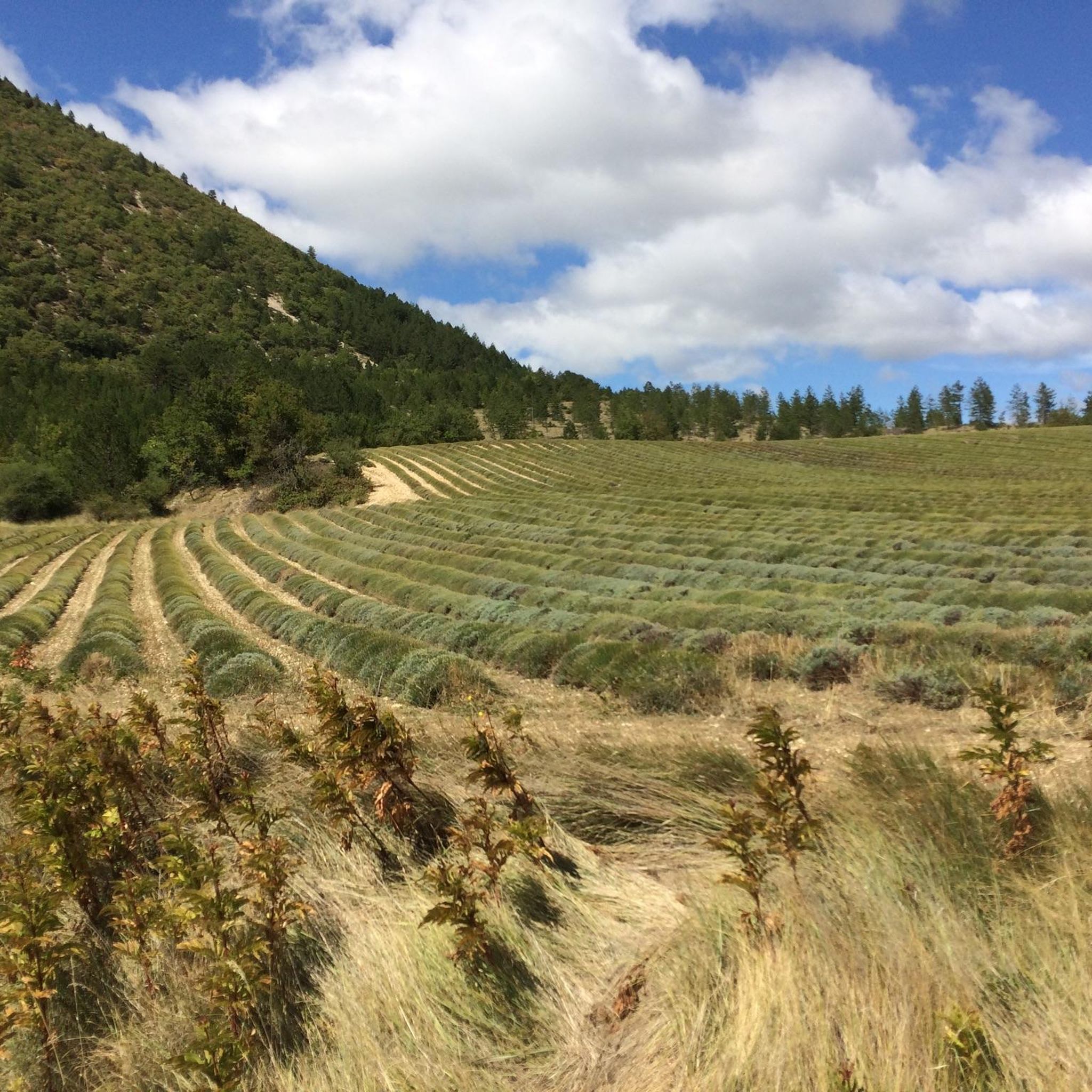
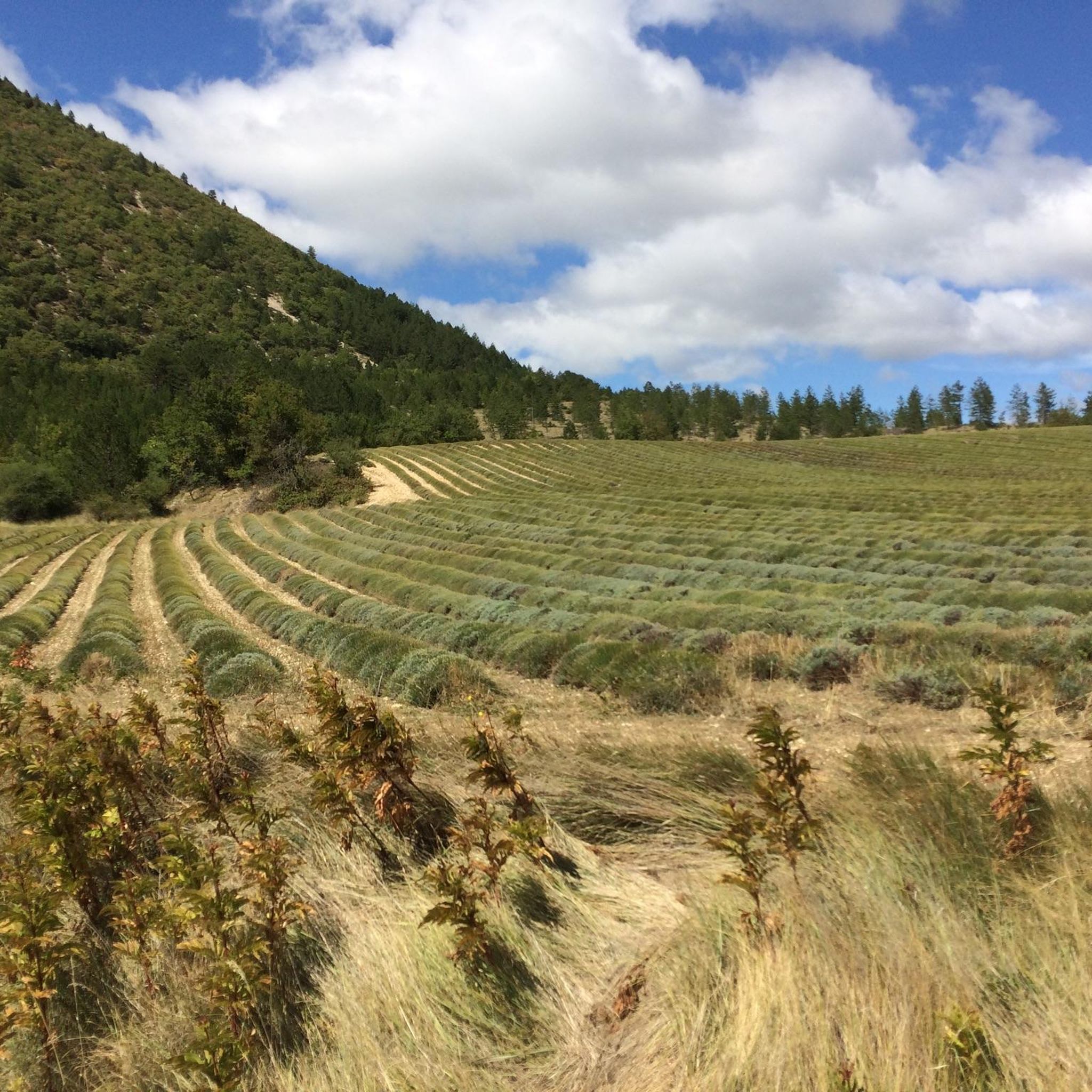
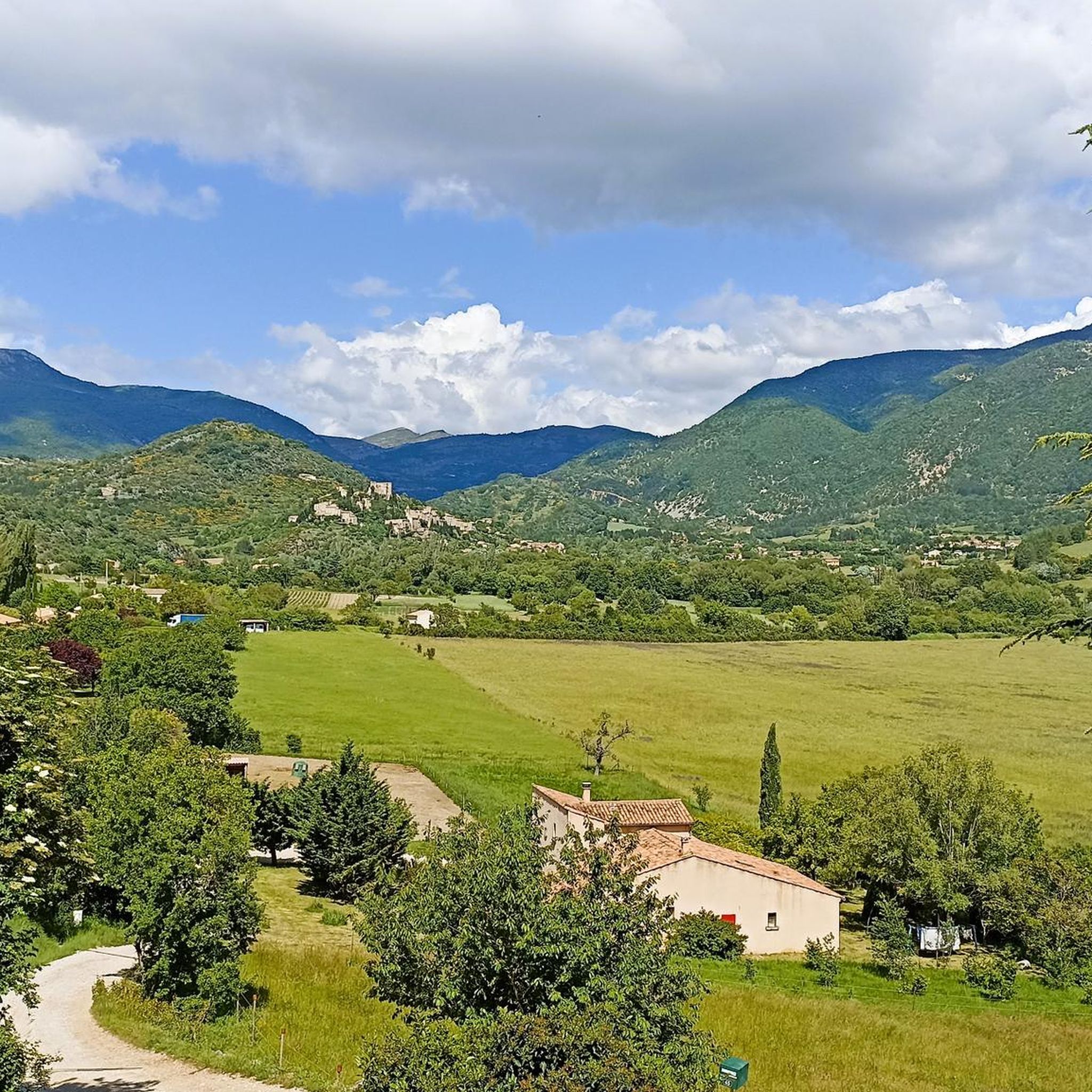
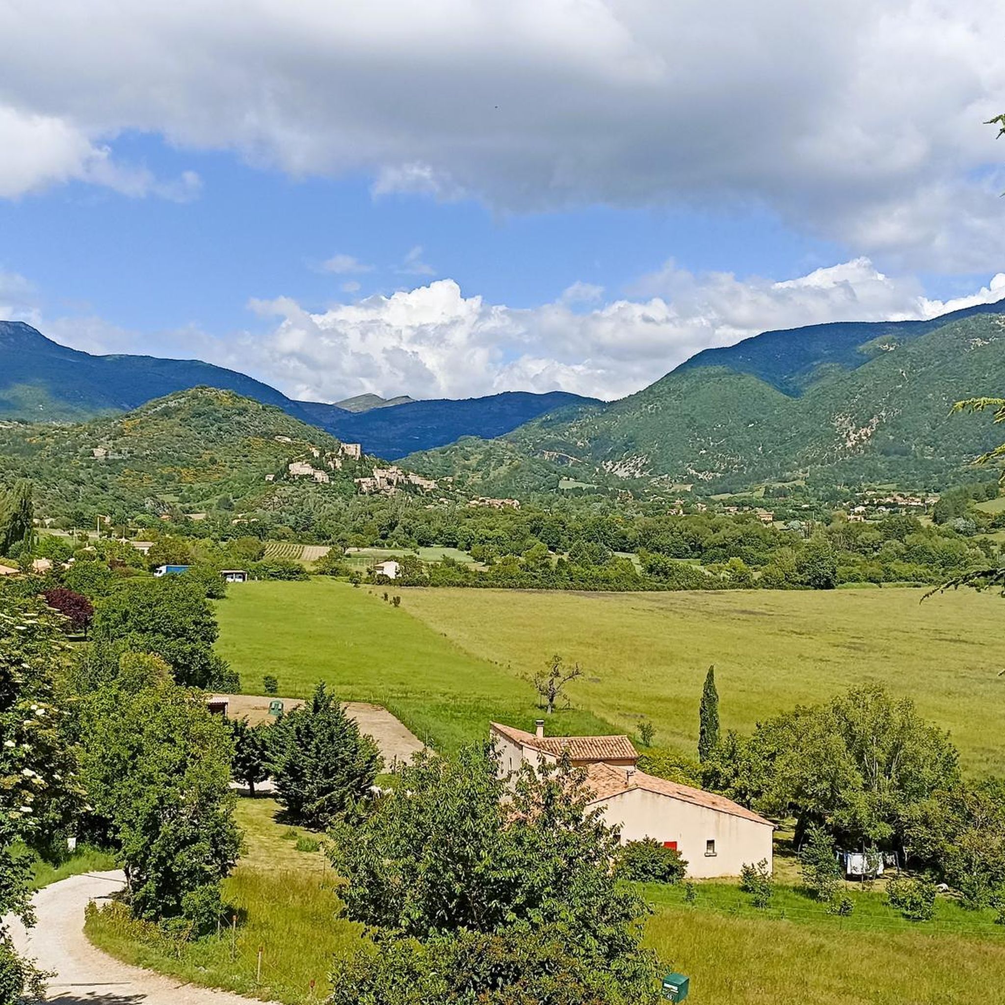
Touring cycling routes around Reilhanette are situated in the Drôme department of France, characterized by a landscape of hills, river valleys, and the prominent Mont Ventoux. The village lies at the confluence of the Anary and Toulourenc rivers, offering a mix of mountainous and riverine terrain. The region features extensive lavender fields and dramatic natural formations like the Gorges de la Nesque.
Best touring cycling routes around Reilhanette
- The most popular touring cycling route is Mont Ventoux from Montbrun-les-Bains —…
Last updated: June 30, 2026
4.8
(153)
3,237
riders
73.3km
05:24
1,710m
1,710m
Hard bike ride. Very good fitness required. Mostly paved surfaces. Suitable for all skill levels.
5.0
(9)
1,463
riders
27.8km
02:03
660m
660m
Cycle the difficult 17.3-mile Col de l'Homme Mort loop from Montbrun-les-Bains, gaining 2161 feet with Mont Ventoux views.

Sign up for free
4.7
(71)
1,306
riders
94.6km
06:58
2,190m
2,190m
Hard bike ride. Very good fitness required. Mostly paved surfaces. Suitable for all skill levels.
4.7
(9)
244
riders
79.0km
05:42
1,680m
1,680m
Hard bike ride. Very good fitness required. Mostly paved surfaces. Suitable for all skill levels.
4.6
(16)
203
riders
51.4km
03:28
830m
830m
Hard bike ride. Very good fitness required. Mostly paved surfaces. Suitable for all skill levels.
Get access to more routes and recommendations from other explorers.
Sign up for free
Already have an account?
Our route recommendations are based on thousands of hikes, rides, and runs completed by other people on komoot.
Start today with a free account
Your next adventure awaits.
Login or Signup
Tips from the Community

The Col de Perty (1,302 m) is located in the Baronnies Provençales massif, on the border between the departments of Drôme and Hautes-Alpes, in the southeast of France. It connects the Ouvèze valley with that of Orpierre and is one of the most popular passes for cyclists in the area.
5
0
Altitude: 1,159 m * Region: Drôme, on the border with the Hautes-Alpes department. * Connects: the villages of Laborel and Lachau with the Céans valley.
4
0

The last 6 kilometers demand everything, wind gusts and constantly steep ascents.
0
0

A nice long climb that's not too steep (max. 8%), on a very quiet road. The asphalt is of good quality.
0
0

Pretty pass with a gentle slope, very pleasant to climb.
0
0


At the junction of several rivers, Montbrun is resplendent in the light. Descending from Sault, the visual impact is remarkable, and the village is worth exploring even if the castle is not accessible.
0
0

Frequently Asked Questions
How many touring cycling routes are available around Reilhanette?
There are over 130 touring cycling routes in the Reilhanette area, offering a wide range of options for different skill levels. You'll find 12 easy routes, 47 moderate routes, and 78 difficult routes, many of which feature significant elevation gains and stunning views.
Are there any easy touring cycling routes suitable for beginners or a relaxed ride?
Yes, Reilhanette offers 12 easy touring cycling routes. While many routes in the region are challenging due to the mountainous terrain, you can find gentler paths that allow you to enjoy the scenic landscapes without extensive climbs. These routes often follow river valleys or less steep sections away from Mont Ventoux.
What are some of the more challenging touring cycling routes in the Reilhanette area?
For experienced touring cyclists seeking a challenge, the region is renowned for its difficult routes, particularly those involving Mont Ventoux. Consider the Mont Ventoux from Montbrun-les-Bains route, a 73.3 km ride with over 1,700 meters of ascent, offering panoramic views from the summit. Another demanding option is the Sault – Montbrun-les-Bains loop from Reilhanette, which covers 95 km through mountainous landscapes.
Are there any circular touring cycling routes around Reilhanette?
Yes, many touring cycling routes in the Reilhanette area are designed as loops, allowing you to start and finish in the same location. For example, the Col de l'Homme Mort Loop from Montbrun-les-Bains is a difficult 27.8 km path that navigates through varied terrain and a mountain pass. Another option is the Saint-Jean Pass – Montbrun-les-Bains loop from Montbrun-les-Bains, a 79 km route with significant elevation.
What natural attractions can I see along the touring cycling routes near Reilhanette?
The Reilhanette region is rich in natural beauty. Many routes offer views of the iconic Mont Ventoux summit and its surrounding landscapes. You might also encounter the stunning Toulourenc Valley, known for its river and gorges. The area is also famous for its extensive lavender fields, particularly around Sault, which are a spectacular sight when in bloom.
What is the best time of year for touring cycling in Reilhanette?
The best time for touring cycling in Reilhanette is typically from spring to early autumn (April to October). During these months, the weather is generally pleasant, and the famous lavender fields are in full bloom from late June to early August, creating a beautiful and aromatic landscape. Summers can be hot, especially on exposed climbs like Mont Ventoux, so early morning rides are recommended.
What do other touring cyclists enjoy most about the routes in Reilhanette?
The touring cycling routes around Reilhanette are highly rated by the komoot community, with an average score of 4.6 stars from over 1,000 reviews. Cyclists often praise the challenging ascents of Mont Ventoux, the scenic river valleys, and the vibrant lavender fields. The diverse terrain and stunning panoramic views from higher elevations are frequently highlighted as major draws.
Are there any family-friendly activities or attractions near the cycling routes?
Beyond cycling, the region offers several family-friendly attractions. The Accroroc Adventure Park in Reilhanette provides tree-top adventure courses with zip lines and via ferrata, suitable for various age groups. Many scenic spots, such as picnic areas along the D 72, are available for outdoor meals, often with mountain views or near natural attractions, making them perfect for a family stop.
Where can I find places to eat or rest along the touring cycling routes?
The villages scattered throughout the Drôme department, including Reilhanette itself, Montbrun-les-Bains, and Sault, offer various cafes, restaurants, and small shops where you can refuel and rest. It's advisable to plan your route to pass through these villages, especially on longer rides, to ensure access to amenities.
Are there opportunities for wild swimming along the cycling routes?
The region is characterized by river valleys, including the Anary and Toulourenc rivers. The Toulourenc Valley, in particular, is known for its natural beauty and offers spots where you might find opportunities for refreshing dips in the river, especially during warmer months. Always exercise caution and check local regulations before swimming in natural waters.
What kind of wildlife might I encounter while cycling in Reilhanette?
The diverse landscapes around Reilhanette, from river valleys to mountainous areas, support a variety of wildlife. You might spot various bird species, including birds of prey in the higher elevations. Smaller mammals are also present, and the natural environment provides a rich habitat for insects, especially during the lavender blooming season.
Where can I park my car when starting a touring cycling route in Reilhanette?
Most villages in the area, including Reilhanette and nearby Montbrun-les-Bains or Sault, offer public parking facilities. It's generally easy to find parking in or near the village centers, which often serve as convenient starting points for many touring cycling routes. Look for designated parking areas or consult local signage upon arrival.
Most popular routes around Reilhanette
Most popular attractions around Reilhanette

Get inspired with the komoot mobile app


Explore more
Browse the best Cycling routes in other regions.
