Top 20 Natural Monuments around San Andrés Y Sauces
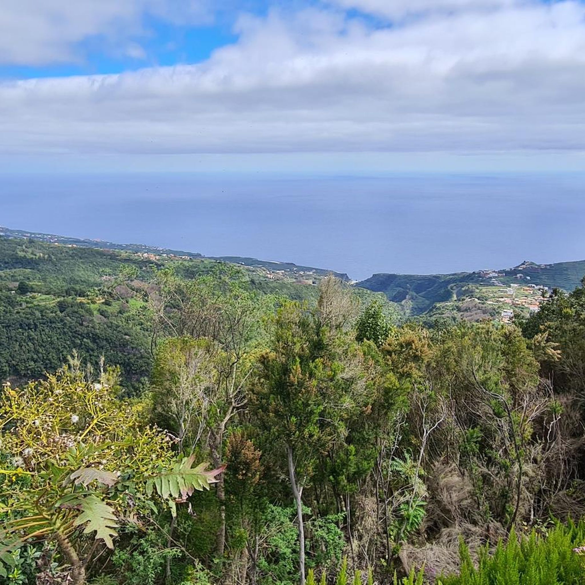
Best natural monuments around San Andrés Y Sauces are characterized by ancient laurel forests, dramatic ravines, and high-altitude summits on the island of La Palma. This region offers diverse natural areas, including well-preserved laurisilva forests and significant geological formations. Visitors can explore a landscape shaped by volcanic activity and lush vegetation, providing unique outdoor experiences. The area is part of a UNESCO Biosphere Reserve, highlighting its ecological importance.
Best natural monuments around San Andrés Y Sauces
- The most popular natural…
Last updated: July 1, 2026
Roque de los Muchachos
Highlight • Summit
Translated by Google •
Tip by

Cubo de la Galga Gorge
Highlight • Gorge
Translated by Google •
Tip by

Sign up now to discover places like this
Get recommendations on the best single tracks, peaks, & plenty of other exciting outdoor places.
Sign up for free
Las Angustias Gorge
Highlight (Segment) • Gorge
Translated by Google •
Tip by

Colorful Waterfall
Highlight • Waterfall
Translated by Google •
Tip by

Pico Bejenado
Highlight • Summit
Translated by Google •
Tip by

Sign up for free to discover even more natural monuments around San Andrés Y Sauces.
Sign up for free
Already have an account?
Start today with a free account
Your next adventure awaits.
Login or Signup
Popular around San Andrés Y Sauces

La Palma, El Hierro y La Gomera – explore the Canaries’ Green Islands on foot
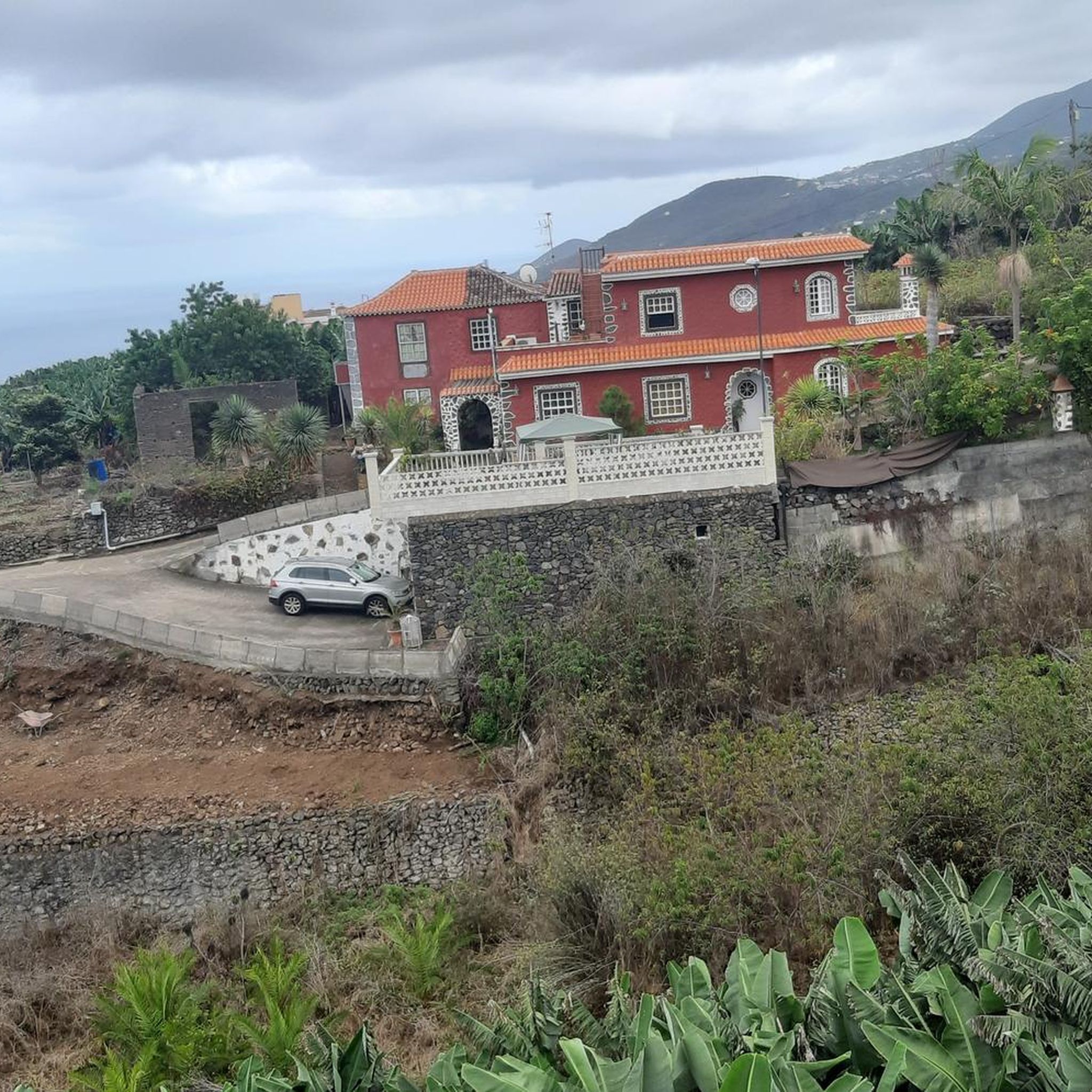
Hiking around San Andrés Y Sauces
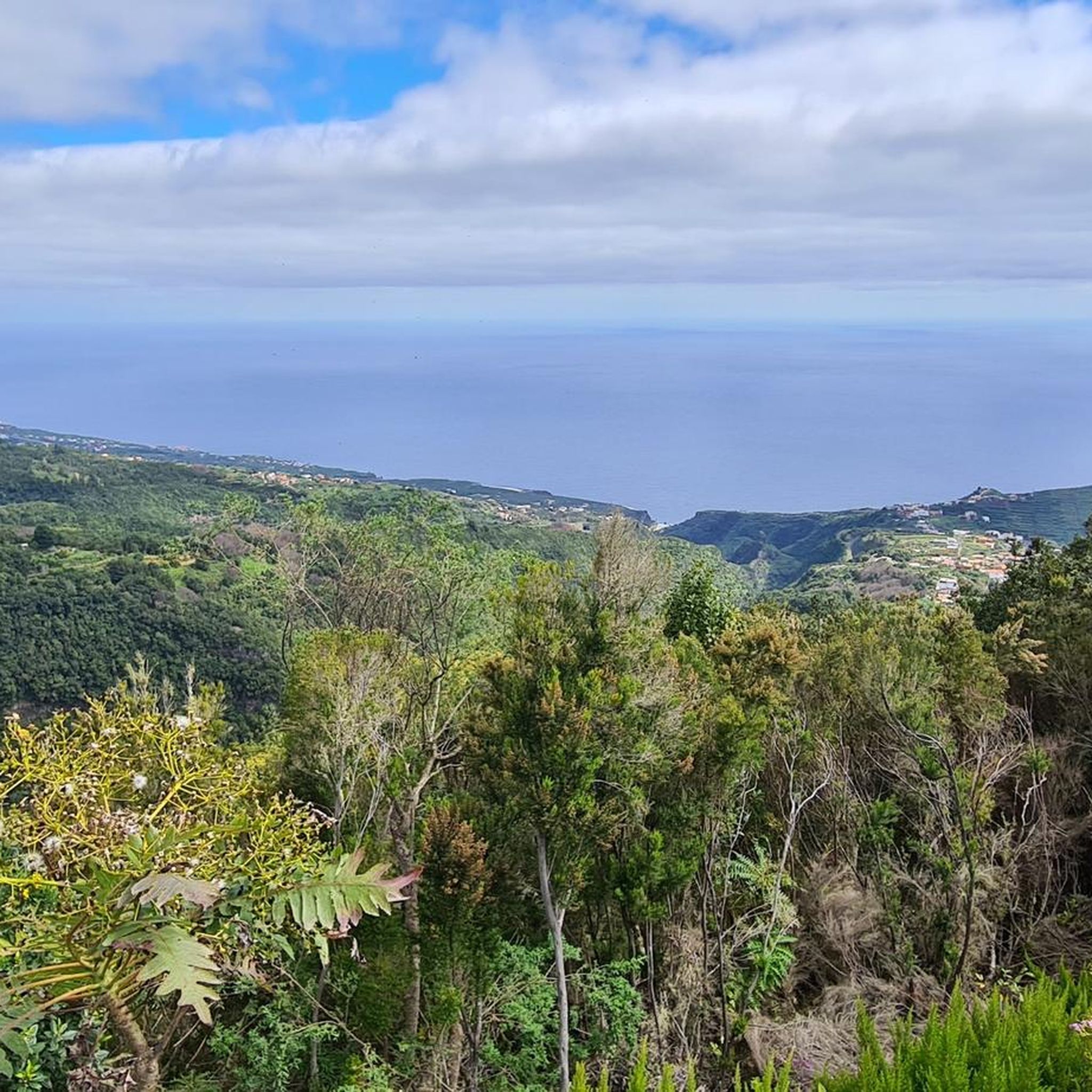
Running Trails around San Andrés Y Sauces
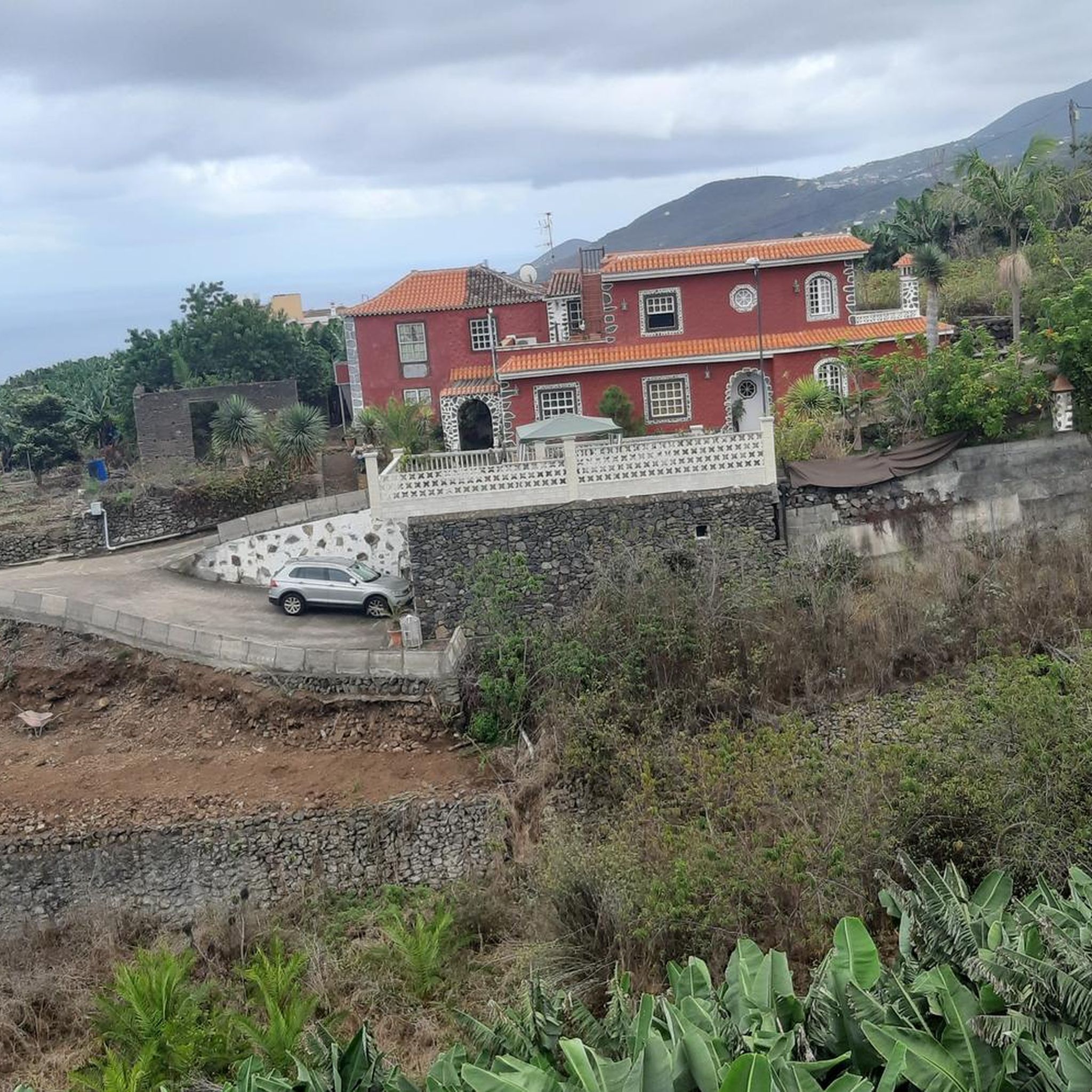
MTB Trails around San Andrés Y Sauces
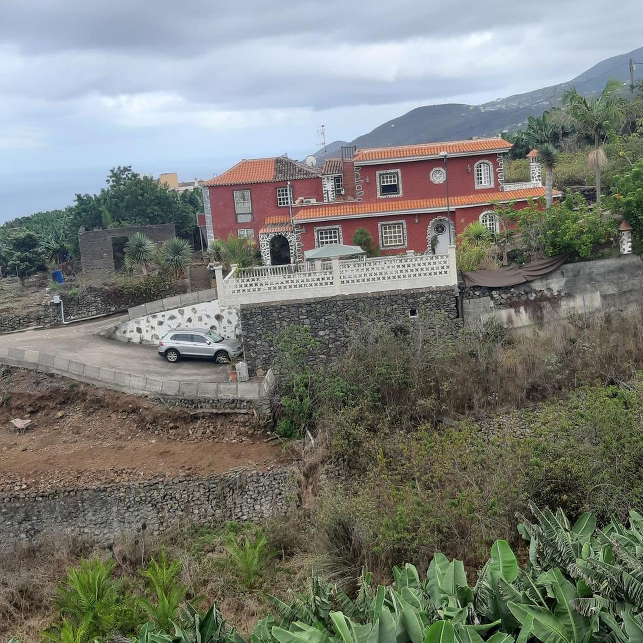
Cycling around San Andrés Y Sauces
Road Cycling Routes around San Andrés Y Sauces

Mountain Hikes around San Andrés Y Sauces
Other adventures around San Andrés Y Sauces

Tips from the Community

We ran the route the other way around, it was more pleasant going downhill.
0
0

On a day with visibility you will see the nearby islands. Don't miss the sunset, the colors are different here. The temperature changes constantly, don't forget your windbreak
6
0

This natural space, at the foot of the Caldera de Taburiente National Park, is formed after the union of the two permanent streams that emerge from the caldera. It is a magnificent place and a stopping point for numerous routes in the area. Despite carrying water almost always, it is advisable to carry water in your backpack, since it is not suitable for consumption and it usually gets a lot of sun. It is also important to wear appropriate footwear because the terrain is steep.
2
1
This natural space at the foot of the Caldera de Taburiente National Park, is formed after the union of the two permanent streams that arise from the Caldera. It is a magnificent place and a crossing point for numerous routes in the area. Despite almost always carrying water, it is recommended to carry water in your backpack since it is not suitable for consumption and it is usually very sunny. It is also important to wear suitable footwear since, after all, the terrain is rough.
1
0
One of the biggest tourist attractions of the Caldera de Taburiente National Park that, however, became it accidentally, since initially it was just a containment dam for the waters of the Caldera. But the iron colored its walls and together with the numerous algae that also cover them, gave rise to this very special place.
4
4

Fantastic but demanding hike. However, a head for heights, sure-footedness and some Alpine experience are prerequisites. Gigantic views and unforgettable impressions are guaranteed. Fantastic 🌞😎🇪🇦👍👌
1
1

Perfect for bathing 😅
1
1

Great spot for photographing the stars and the Milky Way.
6
0
Frequently Asked Questions
What types of natural monuments can I explore in San Andrés y Sauces?
San Andrés y Sauces is renowned for its diverse natural monuments, primarily featuring ancient laurel forests, dramatic ravines, and high-altitude summits. You can experience the lush, subtropical laurisilva forests, deep gorges carved by water, and volcanic peaks offering expansive views.
Which natural monuments are best for experiencing the ancient laurel forests?
For an immersive experience in the ancient laurel forests, you should visit Los Tilos Natural Monument, a UNESCO Biosphere Reserve, or the Cubo de la Galga Gorge. Both offer lush, humid environments with towering laurel trees and giant ferns, providing a glimpse into a primeval ecosystem.
Are there natural monuments with spectacular panoramic views?
Absolutely. Roque de los Muchachos, the highest point on La Palma, offers extensive views and is one of the best places globally for sky observation. Another excellent spot is Pico Bejenado, which provides a spectacular 360-degree panoramic view of the Caldera de Taburiente and the west of the island. The Mirador Barranco de Garome also offers breathtaking views of the Garome valley and the ocean.
Which natural monuments are suitable for families or offer easy hiking trails?
The laurel forests of Los Tilos and Cubo de la Galga Gorge offer well-maintained trails suitable for various skill levels, including families. Los Tilos has a popular circular route of about 1.8 to 2 kilometers, and Cubo de la Galga's trails are generally accessible. Additionally, a short, easy loop trail around Roque de los Muchachos is available.
What unique geological features can I find among the natural monuments?
The region showcases impressive geological formations. The Colorful Waterfall in Caldera de Taburiente is a unique sight, where iron-rich waters have stained the walls vibrant hues. The deep ravines like Las Angustias Gorge and Barranco de Garome demonstrate the island's volcanic and erosive history, with steep cliffs and dramatic relief.
Are there opportunities for birdwatching in the natural monuments?
Yes, the laurel forests are a haven for bird lovers. The Cubo de la Galga Gorge, in particular, is known for being home to endemic species such as the laurel pigeon and Bolle's pigeon, making it an excellent spot for birdwatching.
What outdoor activities can I do near these natural monuments?
The area around San Andrés y Sauces offers a variety of outdoor activities. You can find numerous hiking trails, including moderate and difficult routes through the laurel forests and up to the summits. For more specific routes, explore the Hiking around San Andrés Y Sauces guide or the Mountain Hikes around San Andrés Y Sauces guide. There are also MTB trails available, detailed in the MTB Trails around San Andrés Y Sauces guide.
Is parking available at the natural monuments?
Yes, parking is generally available at many of the key natural monuments. For instance, there is parking at the visitor center for Los Tilos, at Roque de los Muchachos, and at the Mirador Barranco de Garome, which also includes facilities like information boards and picnic areas.
What is the best time to visit the natural monuments in San Andrés y Sauces?
The natural monuments can be visited year-round. However, the laurel forests like Los Tilos and Cubo de la Galga maintain a humid microclimate, making them pleasant even on warmer days. For summit views from Roque de los Muchachos or Pico Bejenado, clear days are ideal for the best visibility. Winter months at higher altitudes may require warmer clothing.
Can I find visitor information or facilities at these natural sites?
Yes, some sites offer visitor facilities. Los Tilos Natural Monument has a visitor center providing information on the area's flora, fauna, and geology, and serves as a starting point for trails. The Mirador Barranco de Garome also has information boards and picnic areas.
What makes the laurel forests of San Andrés y Sauces so special?
The laurel forests, such as Los Tilos and Cubo de la Galga Gorge, are considered living relics of the Tertiary Period, a type of subtropical forest that once covered much of Southern Europe and North Africa millions of years ago. Their constant humid microclimate, dense vegetation, and rich biodiversity create a unique, primeval atmosphere, often described as an 'enchanted forest'.
Most popular attractions around San Andrés Y Sauces

Get inspired with the komoot mobile app


Explore more
Extend your search for the best caves by checking out these guides of the top ones around San Andrés Y Sauces:
