Top 8 Mountain Passes around La Pernía
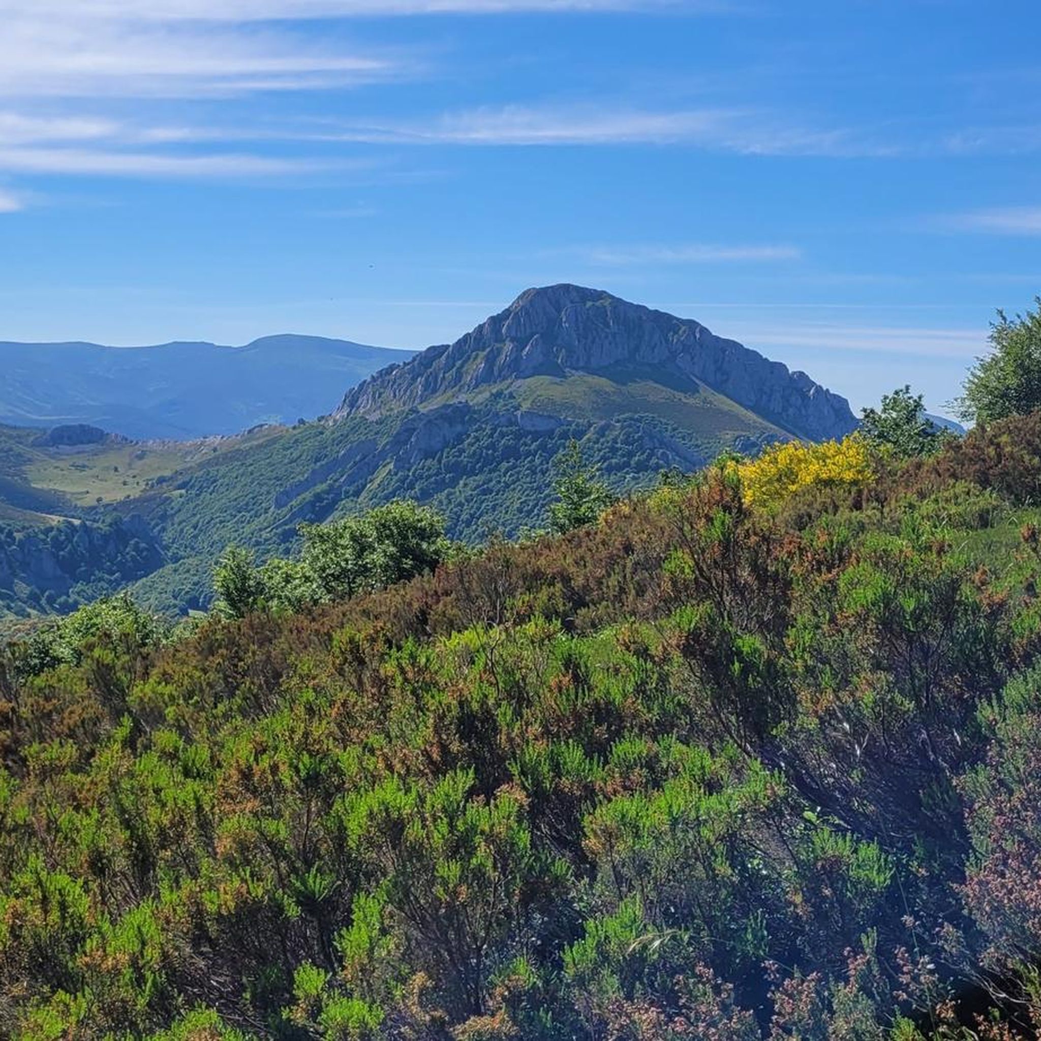
Best mountain passes around La Pernía are situated within the Montaña Palentina Natural Park, a mountainous region in northern Palencia, Spain. This area is characterized by its natural landscapes and high-altitude routes. The passes connect different provinces and offer access to significant peaks. The region provides opportunities for outdoor activities and features historical routes.
Best mountain passes around La Pernía
- The most popular mountain passes is Piedrasluengas Viewpoint, a viewpoint located at over 1,300 meters above sea level. It…
Last updated: October 18, 2026
Piedrasluengas Viewpoint
Highlight • Viewpoint
Translated by Google •
Tip by

Climb to Puerto de San Glorio from Potes
Highlight (Segment) • Mountain Pass
Smooth, with good pavement and spectacular views.
Translated by Google •
Tip by

Sign up now to discover places like this
Get recommendations on the best single tracks, peaks, & plenty of other exciting outdoor places.
Alto del Cubil del Can
Highlight • Summit
Translated by Google •
Tip by

Alto de La Varga Viewpoint
Highlight • Viewpoint
Translated by Google •
Tip by

Mirador del Portillo de Carro
Highlight • Viewpoint
Translated by Google •
Tip by

Sign up for free to discover even more mountain passes around La Pernía.
Already have an account?
Start today with a free account
Your next adventure awaits.


Other adventures around La Pernía

Tips from the Community

Spectacular viewpoint, great reward after the long and pleasant climb!
0
0

Beautiful viewpoint between Triollo and Ventanilla.
0
0

This is one of the most beautiful climbs in the area. 26.5 kilometers at an average gradient of 5%, with a total of 1,300 meters of elevation gain. Smooth, with good pavement and spectacular views.
0
0

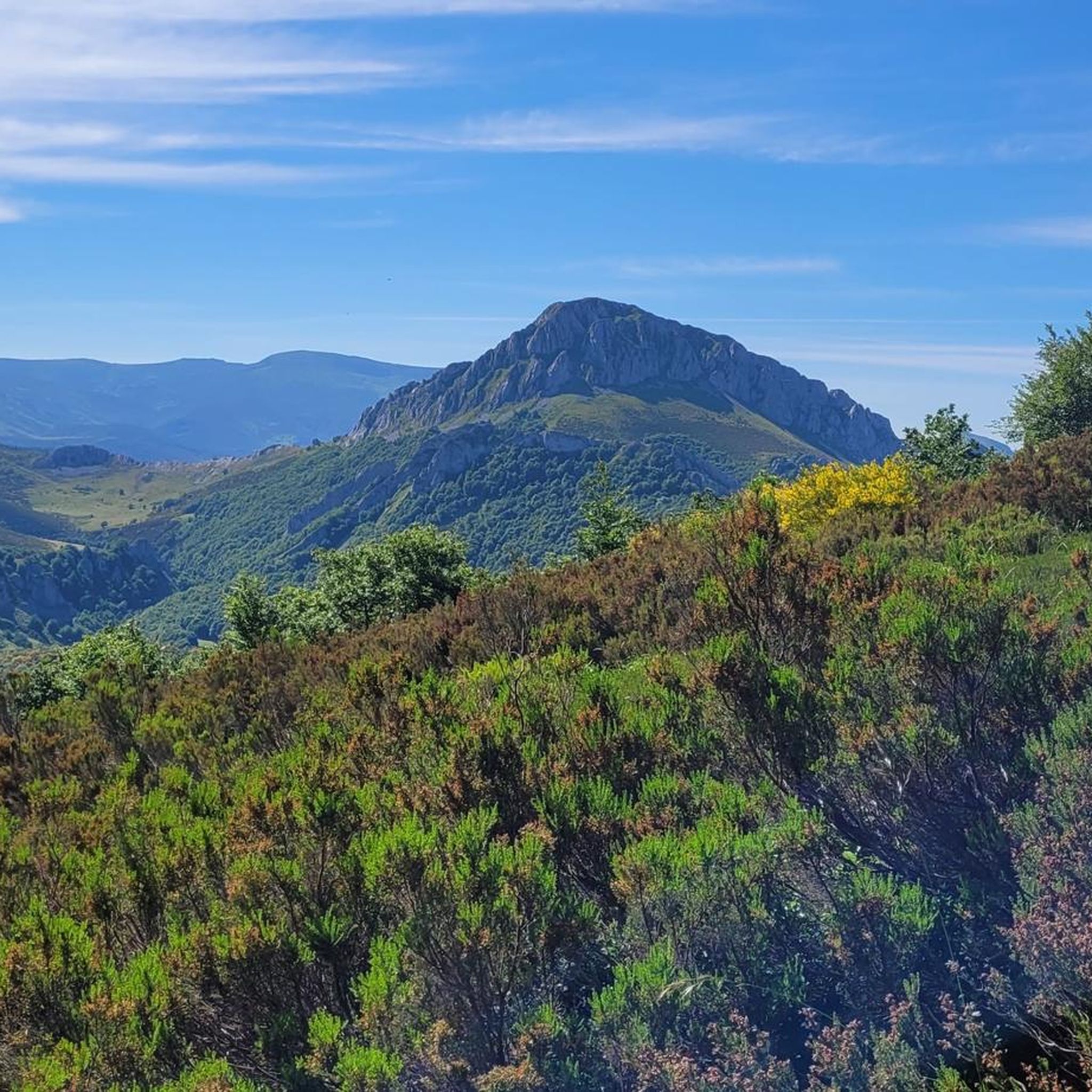
Spectacular views of the eastern massif of Picos de Europa
0
0

The mountain journey enters a comfortable and quiet section on the western slope of Alto del Naranjo, passes through the extensive Robadorio hill and heads directly along the ridge towards the northern spur of Alto del Cubil del Can, the key pass of the route. Under normal conditions, without ice or snow on the mountain, it is an atmospheric ascent along the side cliffs and quite steep, but it does not present technical difficulties, except for a climb (II) at the end of about three meters to crown the spur. The path climbs through the shade of the mountain range and in winter it usually has sections of hard snow or ice. It is important to assess the conditions before starting the ascent and always carry crampons and ice axe. In the channel located on the left side of the climb there is a corridor (45/50 degrees) which is an interesting option when the mountain is covered in snow, sometimes you may need two ice axes. The entrance is in a gap in the rope about ten meters before reaching the climbing step. In case of doubt, it is advisable to go up along the shoulder of the normal route. The climb ends on the northern shoulder of the summit of Alto del Cubil del Can (2,420 m) and continues on comfortable and safe terrain towards the Tres Provincias peak.
0
0

Beautiful road from Puetenansa up to there for road bikes, less traffic
1
0

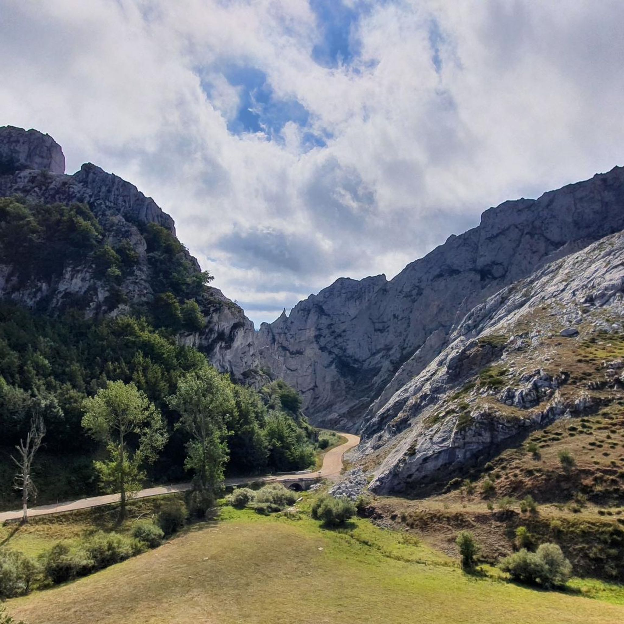
Great views from 1413 meters above sea level of the Sierra Palentina. Take a break and take a photo of two.
1
0

Spectacular views over the surrounding landscape of the Palencia mountains, the Mirador Alto de La Varga is a must stop, if only to catch your breath after the long climb.
1
0
Frequently Asked Questions
What are the most popular viewpoints along the mountain passes in La Pernía?
The region offers several spectacular viewpoints. The Piedrasluengas Viewpoint is highly popular, offering panoramic views of the Picos de Europa, Peña Labra, Tres Mares Peak, and the Liébana and Valdeprado valleys. Another must-see is the Alto de La Varga Viewpoint, located at 1,413 meters above sea level, providing extensive views over the Palencia mountains.
What kind of natural landscapes and wildlife can I expect to see around La Pernía's mountain passes?
The mountain passes in La Pernía are set within the stunning Montaña Palentina Natural Park, characterized by lush beech forests and meadows. From viewpoints like Piedrasluengas, you can observe dramatic seasonal changes, from heavy winter snows to vibrant spring blooms. The area is a significant habitat for various forest birds, including the Black Woodpecker and Eurasian Treecreeper, as well as raptors like the Griffon Vulture, Egyptian Vulture, and Golden Eagle.
What is the best time of year to visit the mountain passes in La Pernía?
The best time to visit depends on your preferred activities. Spring and summer offer vibrant blooms and pleasant weather for hiking and cycling. Autumn brings spectacular fall foliage to the beech forests. Winter transforms the landscape with snow, offering a different kind of beauty, though some routes may require specialized gear like crampons and ice axes due to snow and ice conditions, especially at higher altitudes.
Do the mountain passes in La Pernía have any historical significance?
Yes, the route through Puerto de Piedrasluengas, for instance, holds historical importance, tracing back to ancient Roman roads that were vital for communication and trade. It was also used by Roman legions during their campaigns against the Cantabri. Additionally, the Camino Lebaniego Castellano, a historic pilgrimage route, traverses La Pernía and passes through Puerto de Piedrasluengas, linking it to cultural and spiritual tourism.
Are there hiking opportunities near the mountain passes in La Pernía?
Absolutely. The region is excellent for hiking. From the Piedrasluengas Viewpoint, you can find tracks leading into the beech forest, ideal for nature observation. The pass also serves as a starting point for ascents to peaks like Peña Labra (2,028 m). For more detailed hiking routes in the area, you can explore the various guides available for mountain passes around La Pernía.
Can I go cycling on or near the mountain passes in La Pernía?
Yes, cycling is a very popular activity. The ascent to Puerto de Piedrasluengas is a rewarding experience, and routes like the "Piedrasluengas Pass from Cervera de Pisuerga" are well-known among cyclists. Another notable route is the Climb to Puerto de San Glorio from Potes, which features an average gradient of 5% over 26.5 kilometers with spectacular views. You can find more cycling routes in the area by checking out the Road Cycling Routes around La Pernía guide.
Are there family-friendly mountain passes or viewpoints in La Pernía?
Yes, several spots are suitable for families. The Piedrasluengas Viewpoint is categorized as family-friendly, offering easy access to stunning views. The Mirador del Portillo de Carro is another family-friendly viewpoint with signs to help identify surrounding mountains. These locations provide accessible ways to enjoy the natural beauty of the region with children.
Are dogs allowed on trails around the mountain passes?
Generally, dogs are welcome on many trails within the Montaña Palentina Natural Park, but it's always recommended to keep them on a leash, especially in areas with wildlife or livestock. Specific rules may apply in certain protected zones or during particular seasons, so it's advisable to check local regulations or signage at trailheads.
What makes Puerto de Piedrasluengas a notable mountain pass?
Puerto de Piedrasluengas is a significant mountain pass at 1,355 meters, connecting Palencia with Cantabria. It's renowned for its spectacular Mirador de Piedrasluengas, offering breathtaking panoramic views of the Picos de Europa and surrounding valleys. The pass is also historically important, traversed by ancient Roman roads, and is a popular spot for hiking and cycling, surrounded by lush beech forests rich in biodiversity.
Are there other significant peaks or high-altitude areas near La Pernía's passes?
Beyond the passes, La Pernía is home to several impressive peaks. Peña Labra (2,028 m) is often visible from Piedrasluengas. Tres Mares Peak (2,149 m) offers wonderful views of the Cantabrian interior and Picos de Europa. Curavacas (2,524 m), the second-highest summit of the Cantabrian range, provides an exciting experience for mountain lovers with various routes and impressive views, including glacial lagoons.
Where can I find amenities like cafes or accommodation near the mountain passes?
While the mountain passes themselves are often remote, nearby towns and villages in La Pernía, such as San Salvador de Cantamuda, offer amenities like cafes, restaurants, and accommodation options. These villages serve as excellent bases for exploring the surrounding mountain passes and natural park.
Do I need permits for hiking in the Montaña Palentina Natural Park?
For general hiking on established trails within the Montaña Palentina Natural Park, permits are typically not required. However, if you plan to engage in specific activities like climbing, or access certain restricted areas, it's always best to check with the park authorities for any specific regulations or permit requirements that might apply.
Most popular attractions around La Pernía

Get inspired with the komoot mobile app


Explore more
See even more epic mountain passes by checking out these guides around La Pernía:
