The best walks and hikes around La Pernía
4.4
(261)
1,772
hikers
70
hikes
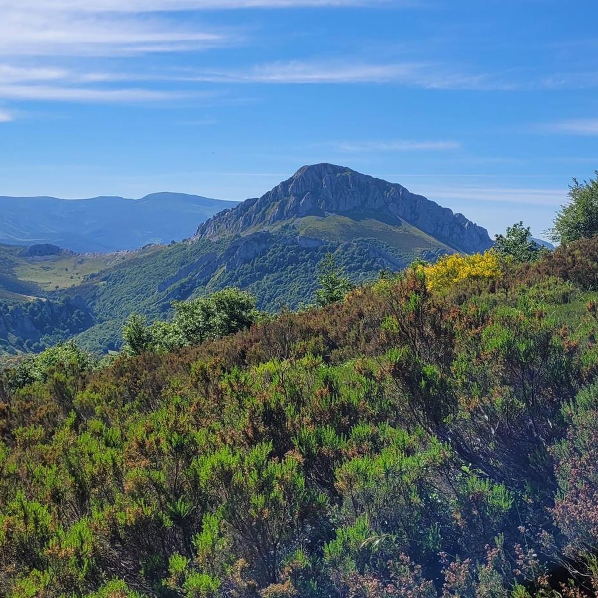
Hiking around La Pernía offers access to the Montaña Palentina Natural Park, characterized by high-mountain landscapes and glacial origins. The region features impressive peaks such as Pico Tres Mares and Peña Labra, alongside verdant valleys and the source of the Pisuerga River. These diverse natural features provide varied terrain for outdoor activities.
Best hiking trails around La Pernía
- The most popular hiking route is Fuente Cobre Trail, a 7.3 miles (11.8 km) trail that takes 3 hours 37 minutes…
Last updated: October 10, 2026
4.8
(17)
147
hikers
11.8km
03:37
420m
420m
Moderate hike. Good fitness required. Easily-accessible paths. Suitable for all skill levels.
4.8
(5)
30
hikers
8.51km
02:38
320m
320m
Moderate hike. Good fitness required. Easily-accessible paths. Suitable for all skill levels.

4.7
(12)
51
hikers
Easy hike. Great for any fitness level. Easily-accessible paths. Suitable for all skill levels.
4.2
(5)
37
hikers
Moderate hike. Good fitness required. Mostly accessible paths. Sure-footedness required.
8
hikers
Moderate hike. Good fitness required. Easily-accessible paths. Suitable for all skill levels.
Get access to more routes and recommendations from other explorers.
Already have an account?
Our route recommendations are based on thousands of hikes, rides, and runs completed by other people on komoot.
Start today with a free account
Your next adventure awaits.
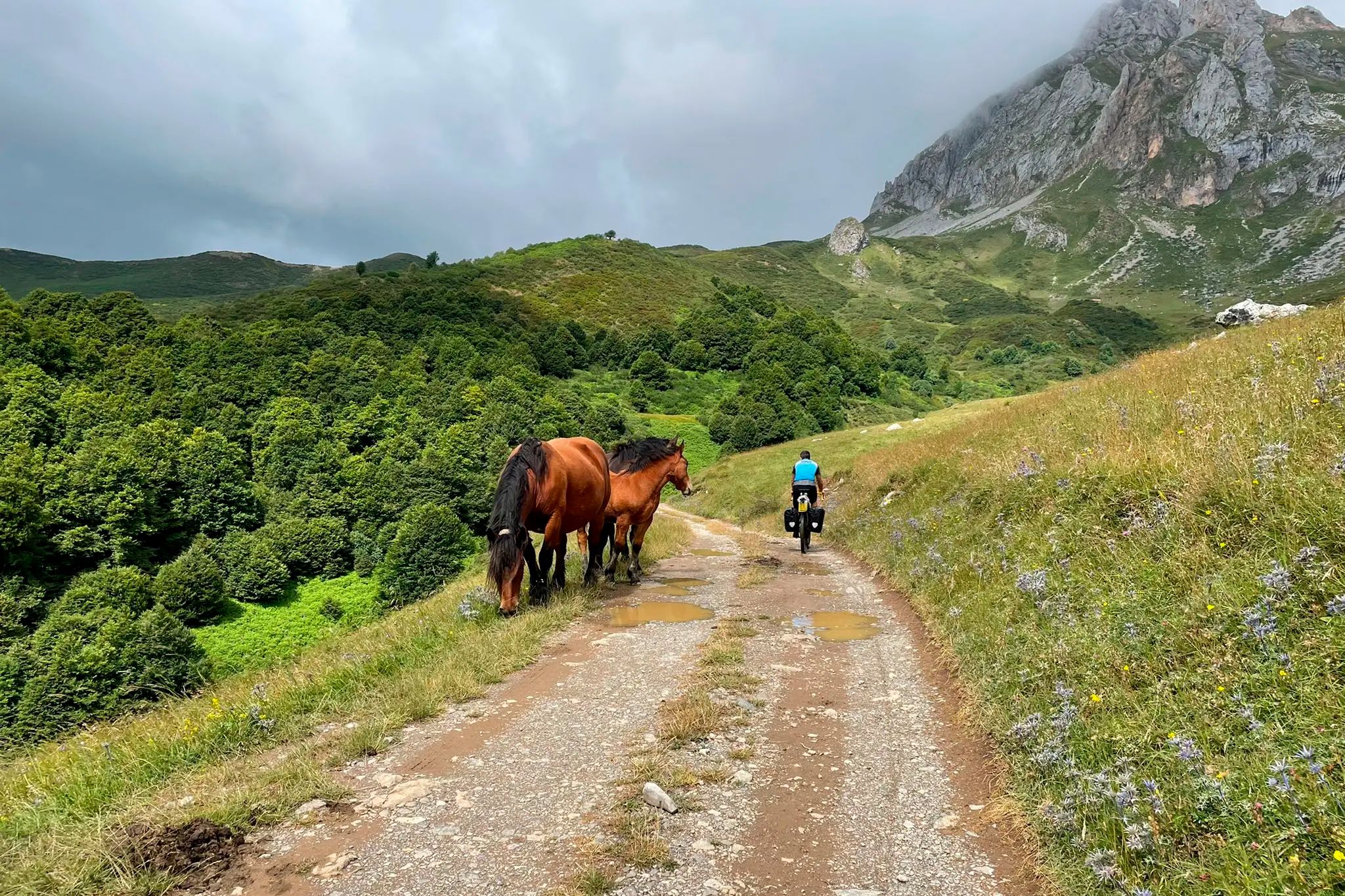

Other adventures around La Pernía

Tips from the Community

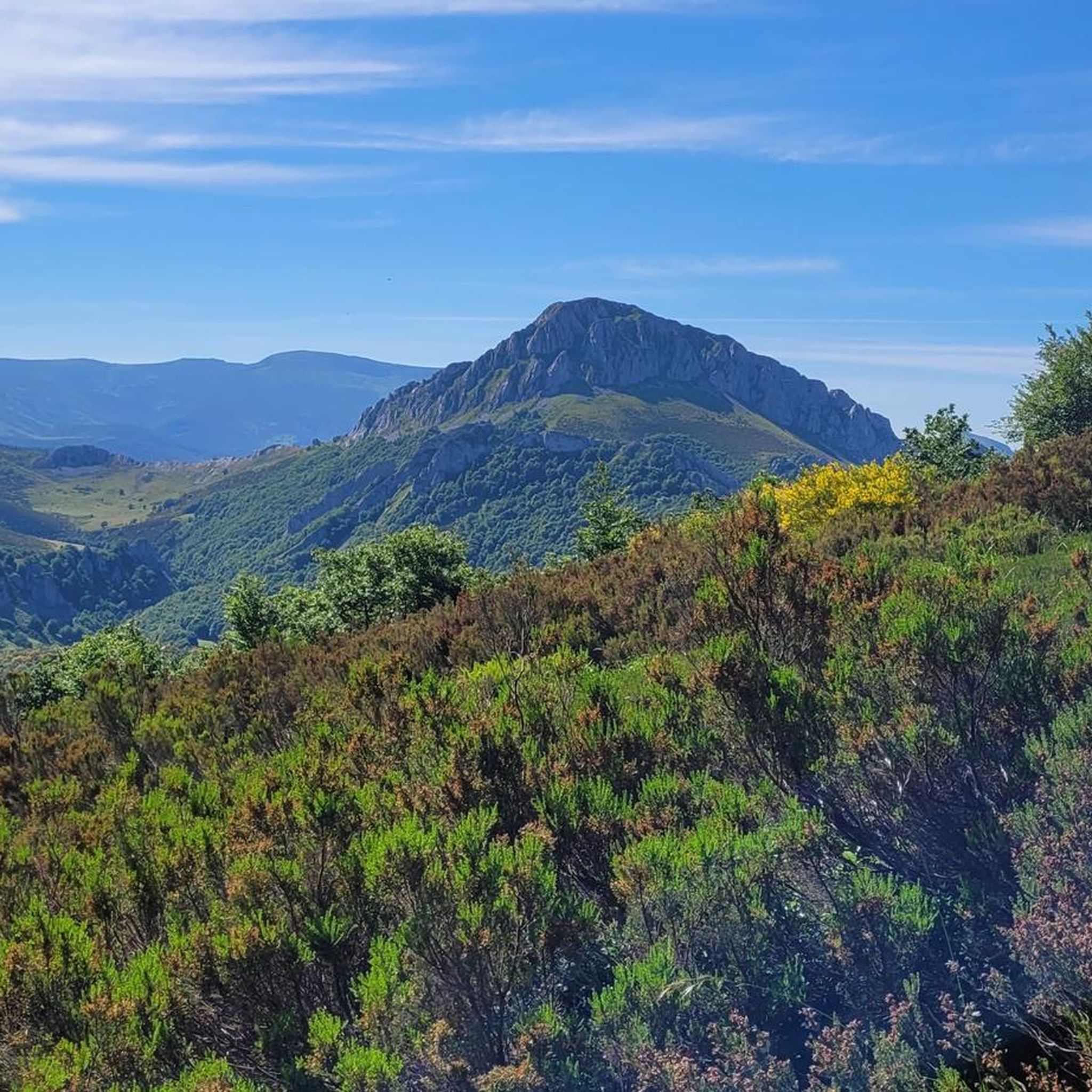
The Pico Tres Mares offers a great view of the surrounding peaks and valleys. The three valleys, each separated by mountain ridges, drain via their respective river systems into the Mediterranean Sea (Rio Hijar / Ebro), the Cantabrian Sea (Rio Nansa), and the Atlantic Ocean (Rio Pisuerga), from which the summit gets its name. From up here, you can also clearly see the beginning of the path to Peña Labra, which essentially runs along or near the ridge to the west - and with reasonably good visibility, the Picos de Europa are clearly visible to the northwest, standing out distinctly from the surrounding mountains of the Cordillera Cantabrica, even if some are not that much lower. There is a viewing platform at the summit - not pretty, but it allows even visitors without mountain experience to look around safely.
0
0

Spectacular viewpoint, great reward after the long and pleasant climb!
0
0

Spectacular views of the eastern massif of Picos de Europa
0
0

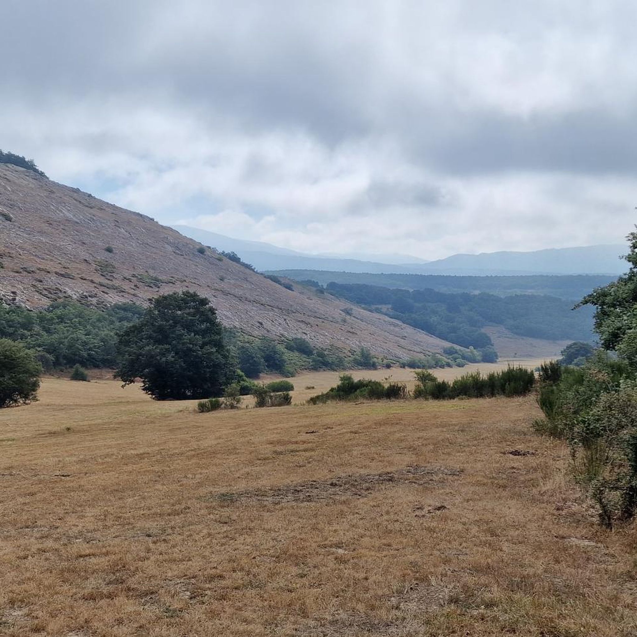
The Pisuerga River rises in the province of Palencia, in the region of Castile and León, Spain. Its source is in the Covarrés glacial basin, between the Valdecebollas peak and the Sierra de Híjar, in a place known as Sel de la Fuente.
3
0

Beautiful road from Puetenansa up to there for road bikes, less traffic
1
0

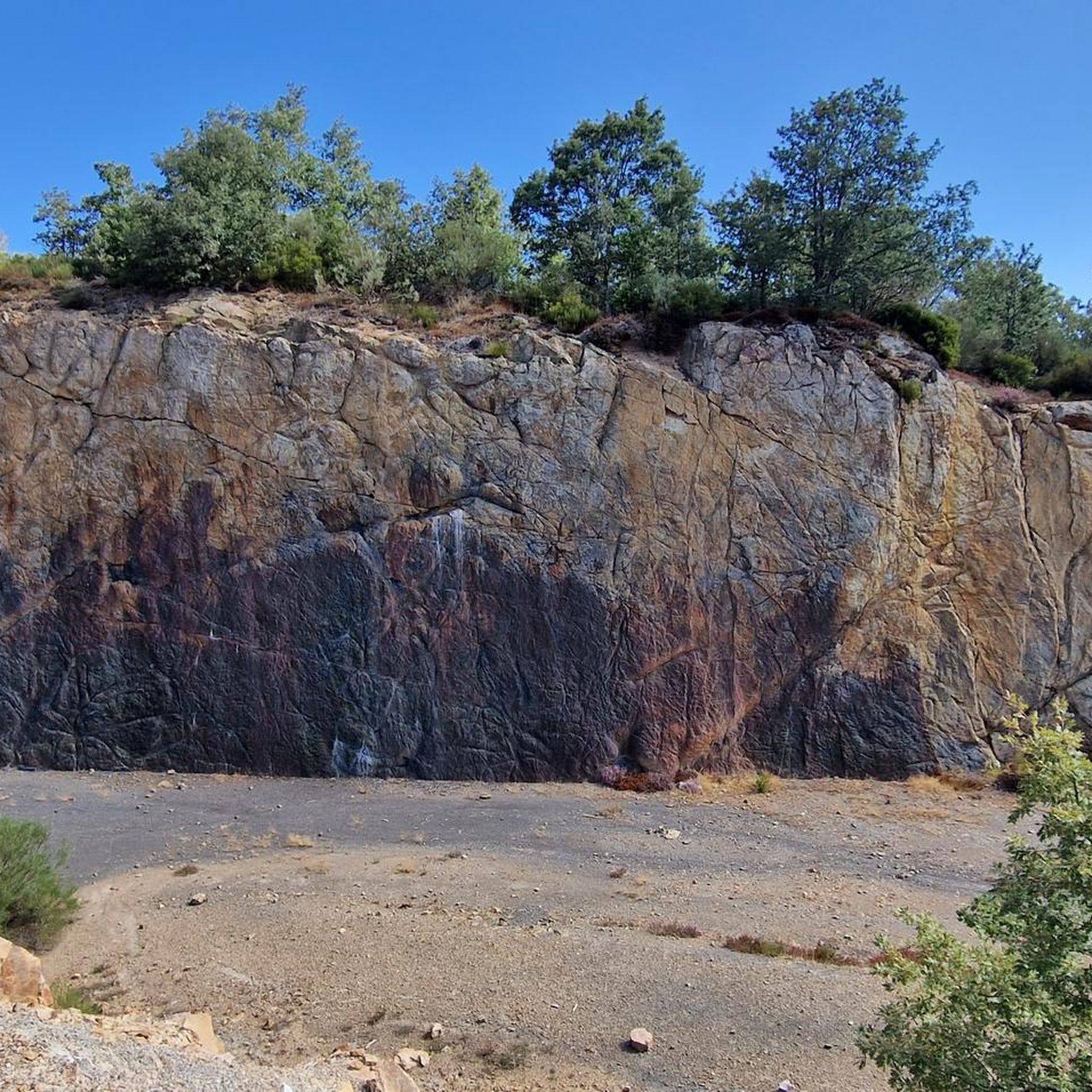
This is a beautiful little wooded trail that takes you past a rock face with fossilized trees. Fossils are millions of years old.
0
0

Religious sanctuary in a style between Romanesque and Gothic located in the town of Verdeña.
0
0
Viewpoint located in the homonymous hill at more than 1300 meters. From there you can see the Picos de Europa, Peña Labra, the Tres Mares peak, the Cuchillón peak and much more.
2
0
Frequently Asked Questions
How many hiking trails are available in La Pernía?
La Pernía offers nearly 50 hiking trails, catering to various skill levels. You'll find around 11 easy routes, 25 moderate, and 12 more challenging options.
Are there any easy hiking trails suitable for beginners or families in La Pernía?
Yes, La Pernía has several easy trails perfect for beginners or families. One notable option is the Senda del Bosque Fósil desde Verdeña (PRC-P 9), a circular route through the Montaña Palentina Natural Park, which is about 2.3 miles (3.7 km) long and takes just over an hour to complete.
What kind of natural features can I expect to see while hiking in La Pernía?
La Pernía is rich in diverse natural features. You can explore high-mountain landscapes, verdant valleys, and significant river systems. Highlights include impressive peaks like Pico Tres Mares and Peña Labra, and the traditional source of the Pisuerga River, which you can visit via the Fuente Cobre Trail. The region also features glacial origins and lush forests.
Are there any viewpoints offering panoramic vistas along the trails?
Absolutely. The region is known for its breathtaking panoramas. The Piedrasluengas Viewpoint, located over 1,300 meters above sea level, offers spectacular vistas of the Picos de Europa, Peña Labra, Tres Mares, and the Liébana and Valdeprado Valleys. Several trails, such as Peña Labra and Pico Tres Mares from the collado de Fuente del Chivo, also provide excellent mountain views.
Can I find circular hiking routes in La Pernía?
Yes, circular routes are available. For example, the Senda del Bosque Fósil desde Verdeña (PRC-P 9) is a popular circular trail within the Montaña Palentina Natural Park.
What is the best time of year to go hiking in La Pernía?
The best time for hiking in La Pernía generally spans from late spring through early autumn (May to October), when the weather is milder and trails are most accessible. During winter, higher elevations may experience snow, offering different challenges and scenic beauty for those prepared for winter conditions.
Are dogs allowed on the hiking trails in La Pernía?
While many trails in natural parks across Spain are dog-friendly, specific regulations can vary within the Montaña Palentina Natural Park. It's always recommended to keep dogs on a leash to protect local wildlife and ensure a pleasant experience for all hikers. Check local signage for any specific restrictions on individual trails.
What do other hikers enjoy most about hiking in La Pernía?
The area is highly rated by the komoot community, with an average score of 4.5 stars from over 170 reviews. Reviewers often praise the stunning high-mountain landscapes, the tranquility of the verdant valleys, and the opportunity to explore significant natural landmarks like the source of the Pisuerga River.
Are there any cultural or historical attractions near the hiking routes?
Beyond its natural beauty, La Pernía is also known for its rich Romanesque architecture. You can find historic sites like the Collegiate Church of San Salvador de Cantamuda, which adds a cultural dimension to your outdoor exploration. The region is also dotted with traditional mountain villages, offering a glimpse into local history.
What kind of wildlife might I encounter while hiking in La Pernía?
La Pernía is known as a 'land of bears,' indicating the presence of diverse wildlife. Hikers might spot various species of birds, deer, and other mammals. The relatively untouched natural environment makes it an appealing destination for nature lovers, but always remember to observe wildlife from a respectful distance.
Are there any challenging routes for experienced hikers?
Yes, La Pernía offers challenging routes for experienced hikers. Trails like Pico Tres Mares y Peña Labra desde collado de Piedrasluengas involve significant elevation gain and cover over 12.8 km, providing a strenuous but rewarding experience with impressive views.
Where can I find accommodation or places to eat after a hike?
The region has small mountain villages where you can find accommodation and places to eat. For example, Cervera de Pisuerga is a nearby settlement that offers amenities. You can also find various huts and shelters, such as the Golobar Refuge or the Albergue de Villaverde, which might provide options for rest and sustenance.
Most popular attractions around La Pernía

Get inspired with the komoot mobile app


Explore more
Browse the best Hikes in other regions.
