Top 9 Mountain Passes around Santa Cruz De La Palma
Best mountain passes around Santa Cruz De La Palma provide access to the island's dramatic volcanic landscape. Santa Cruz de la Palma, a coastal city, serves as a gateway to these mountainous regions. The island features a central spine with prominent peaks and trails, including the immense volcanic caldera of Taburiente. These routes offer diverse terrain, from pine forests to volcanic ash fields.
Best mountain passes around Santa Cruz De La Palma
- The most popular mountain passes is Cumbre Nueva…
Last updated: July 15, 2026
Ascent to Roque de los Muchachos from Santa Cruz de la Palma
Highlight (Segment) • Mountain Pass
Especially back you can use the many trails left and right as a shortcut
take. On the approximately 33 …
Translated by Google •
Tip by

Cumbre Nueva Ridge Trail
Highlight • Trail
Translated by Google •
Tip by

Sign up now to discover places like this
Get recommendations on the best single tracks, peaks, & plenty of other exciting outdoor places.
Sign up for free
La Palma: Caldera, crater rim at Reventón Pass
Highlight • Mountain Pass
Translated by Google •
Tip by

Las Angustias Pass Climb
Highlight (Segment) • Climb
Translated by Google •
Tip by

GR 131 El Bastion
Highlight • Trail
Translated by Google •
Tip by

Sign up for free to discover even more mountain passes around Santa Cruz De La Palma.
Sign up for free
Already have an account?
Start today with a free account
Your next adventure awaits.
Login or Signup
Popular around Santa Cruz De La Palma
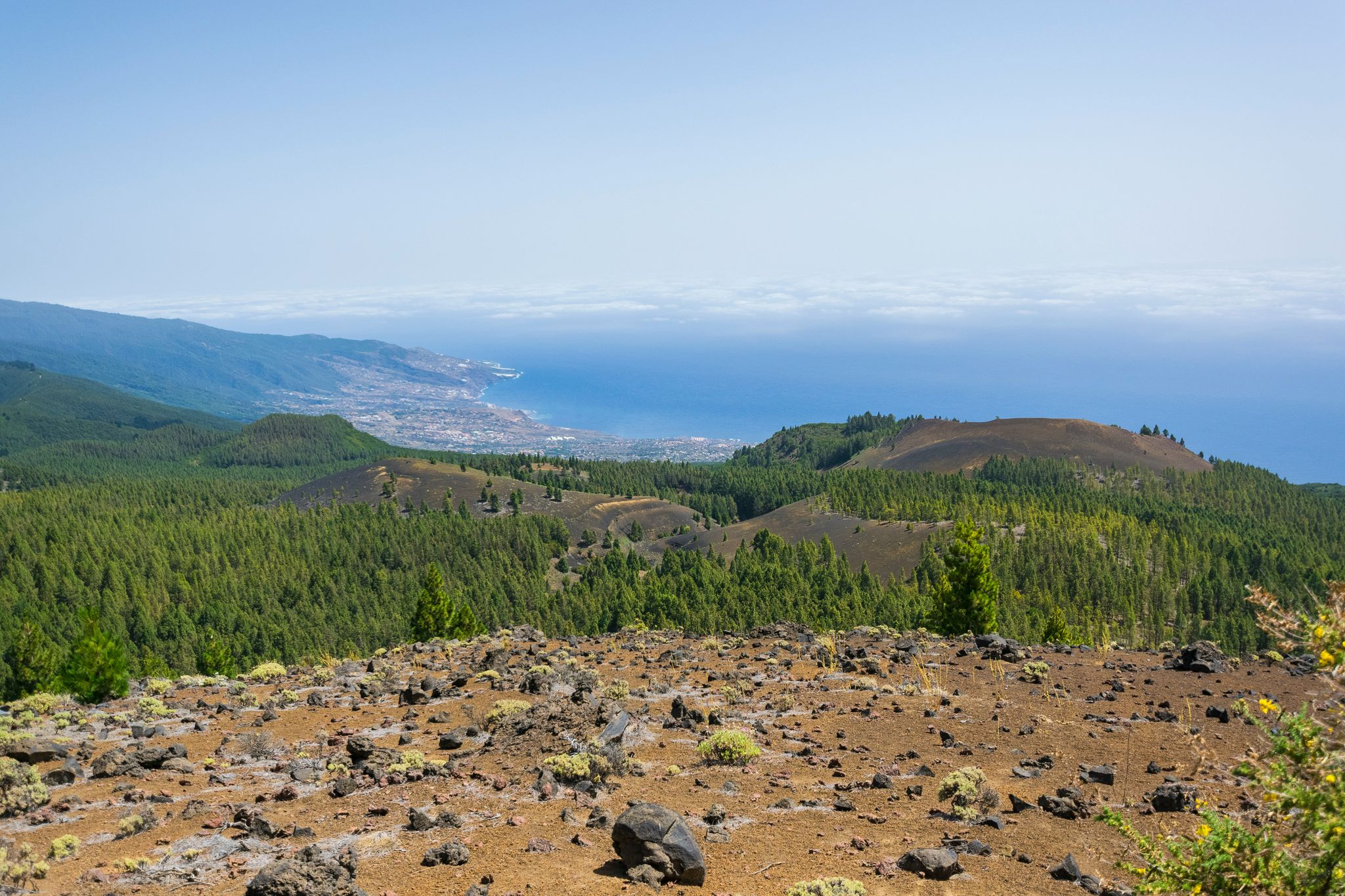
Around the beautiful island – La Palma Nature Trail (GR 130)
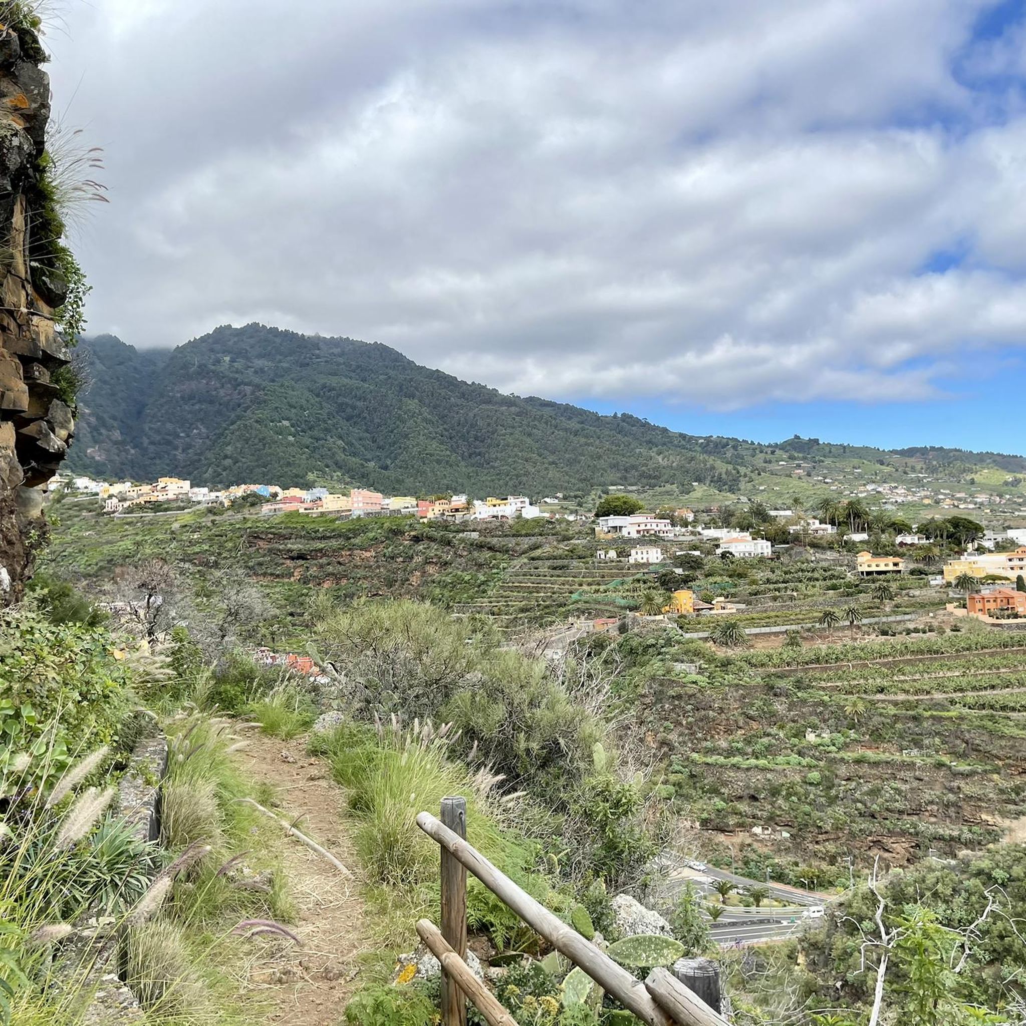
Hiking around Santa Cruz De La Palma
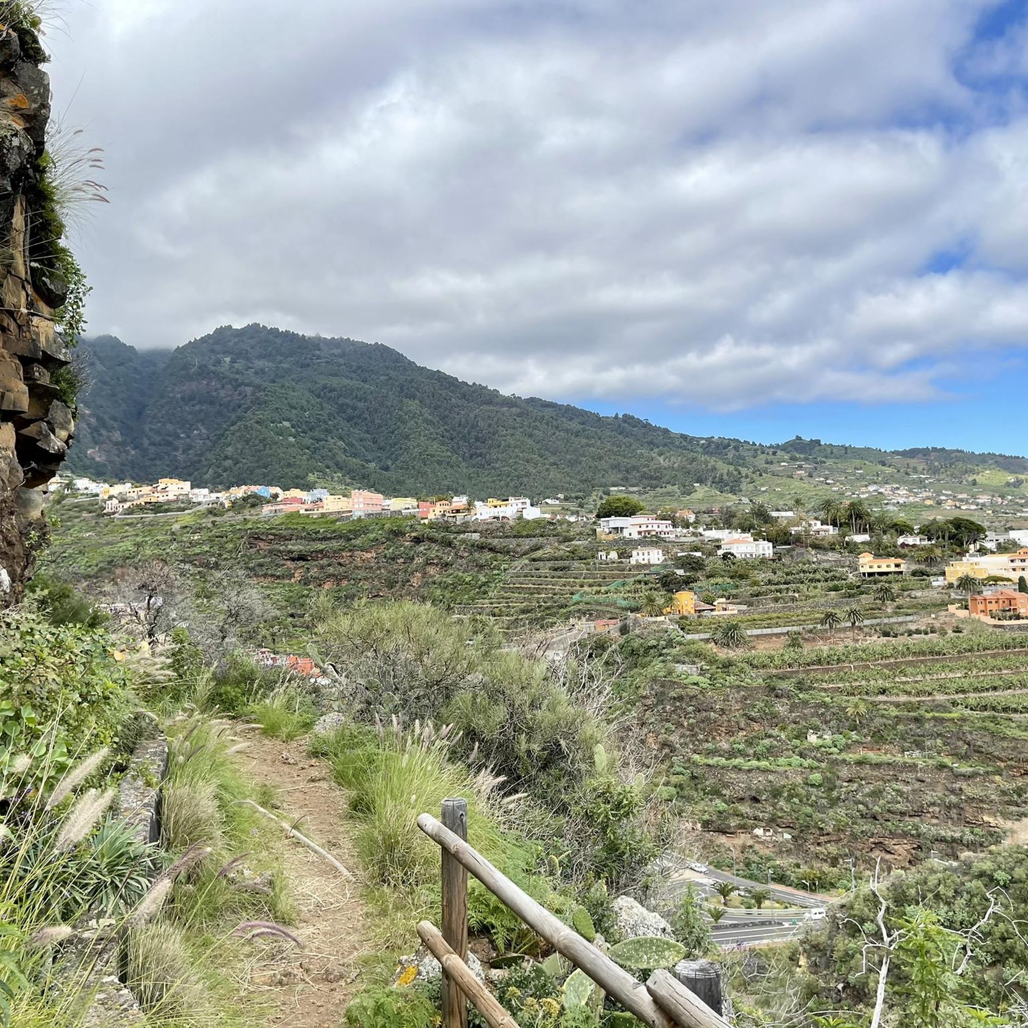
Road Cycling Routes around Santa Cruz De La Palma
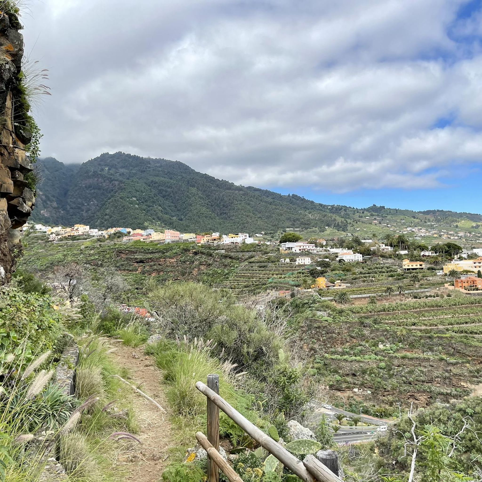
MTB Trails around Santa Cruz De La Palma
Running Trails around Santa Cruz De La Palma
Cycling around Santa Cruz De La Palma

Mountain Hikes around Santa Cruz De La Palma
Other adventures around Santa Cruz De La Palma

Tips from the Community


A beautiful king stage with impressive views, changing vegetation. The climb is a bit strenuous. Approx. 30% gradient (600 HM), the path is easy to walk. The long ridge path is equivalent to a road. If you like, you can walk this or choose the shady hiking path next to it. If you don't want to hike the long circuit, you have the opportunity to travel by bus or car to the El Pilar area and from there take a beautiful walk along the ridge path.
0
0

Very long and quite demanding climb that from the center of Santa Cruz leads up to the "Roque de Los Muchachos" at 2426 meters above sea level. In total there are almost 41 kilometers that must be covered to reach the desired summit, but during the entire journey you can admire the wonderful landscapes that gradually open up to our eyes. Overall it is a street with little traffic and very quiet; I highly recommend checking the weather conditions before venturing towards the top because temperatures can drop significantly in winter and finding yourself pedaling in temperatures close to zero is not such a remote eventuality as you might expect from an island of the Canaries
1
0

https://www.youtube.com/watch?v=dR59PSJ4vA8 The LP-4 highway, known as Carretera del Roque, is an impressive route in La Palma that extends for 47.84 kilometers. This mountain road leads to the Roque de Los Muchachos Astrophysical Observatory and the highest point of the island, connecting with the LP-403 in its final section. It begins in the Mirca neighborhood, in Santa Cruz de La Palma, goes up to the observatory and then descends to Hoya Grande in the Villa de Garafía. It is a spectacular route to enjoy panoramic views of the island.
0
0
The LP-4 highway, known as Carretera del Roque, is an impressive route in La Palma that extends for 47.84 kilometers. This mountain road leads to the Roque de Los Muchachos Astrophysical Observatory and the highest point of the island, connecting with the LP-403 in its final section. It begins in the Mirca neighborhood, in Santa Cruz de La Palma, goes up to the observatory and then descends to Hoya Grande in the Villa de Garafía. It is a spectacular route to enjoy panoramic views of the island.
0
0
Hard descent with continuous descents of the bike and some dangerous sections. The views are from another galaxy but I consider that unless you take it as a walk to take out the bike and push, there are more fun tracks and trials in other areas of the island. In my case, I abandoned the GR a few meters further on and after crossing a hell of stones and burned forest I reached a point where the descent was continuous for 60 minutes along some cartoonish tracks and paths.
1
0

The "Las Angustias" pass is the counterpart to the El Time climb opposite. Here you drive up 190 meters from the Barranco de las Angustias to the intersection of Argual, a district of Los Llanos. The climb is 3.52 kilometers long and has an average gradient of a pleasant 4.4 percent. The traffic volume here is also somewhat high as it is the immediate main road to the northwest island. However, the asphalt is great. You will also pass through some banana plantations during the climb.
2
0

Very long climb !!, at the top there is a small fountain.
0
0
Frequently Asked Questions
What are some of the most notable mountain passes and high-altitude routes around Santa Cruz De La Palma?
The region offers several impressive routes. Among them are the challenging Ascent to Roque de los Muchachos from Santa Cruz de la Palma, which leads to the island's highest point, and the Cumbre Nueva Ridge Trail, known for its impressive views and changing vegetation. Another significant spot is La Palma: Caldera, crater rim at Reventón Pass, offering spectacular vistas into the Caldera de Taburiente.
What kind of views can I expect from the mountain passes in La Palma?
The mountain passes around Santa Cruz De La Palma offer breathtaking panoramic views. From high points like Roque de los Muchachos, you can see across the entire island, deep into the Caldera de Taburiente National Park, and even spot neighboring Canary Islands on clear days. Other passes, such as those along the Cumbre Nueva, provide scenic vistas of diverse volcanic landscapes, pine forests, and the ocean.
Are there challenging mountain passes for experienced hikers or cyclists?
Yes, for those seeking a challenge, the Ascent to Roque de los Muchachos from Santa Cruz de la Palma is a long and demanding climb, reaching 2426 meters above sea level with gradients of 7 to 12%. Cyclists will find this a significant test. The GR 131 El Bastion also presents challenging sections, particularly with hard descents and some dangerous parts, offering 'views from another galaxy'.
What is the best time of year to visit the mountain passes in La Palma?
La Palma generally enjoys a mild climate year-round. However, for mountain passes, it's advisable to visit during spring (April-May) and autumn (September-October) when temperatures are pleasant and the weather is typically stable. During winter, temperatures at higher altitudes can drop significantly, and it's crucial to check weather conditions before venturing out, especially for routes like the Ascent to Roque de los Muchachos.
Are there any family-friendly mountain passes or trails suitable for beginners?
While many routes offer challenging sections, some areas provide more accessible options. The Cumbre Nueva Ridge Trail, for instance, has parts that are easy to walk, and you can choose between a long ridge path or a shady hiking path next to it. Exploring viewpoints within the Caldera de Taburiente National Park also offers stunning scenery without requiring extreme exertion, though specific 'family-friendly' passes are less common in the high mountains.
What kind of natural features can I expect to see along these mountain passes?
You'll encounter a dramatic array of natural features. The landscape transitions from lush pine forests to stark volcanic terrain, including lava fields, tuff, and volcanic ash. The immense Caldera de Taburiente National Park showcases a massive volcanic crater with lush vegetation and streams. High-altitude passes offer views of cloud inversions and, of course, the vast Atlantic Ocean.
Can I find water sources along the mountain passes?
Some routes do have water sources. For example, there is a water source available at Reventón Pass, which is part of the Cumbre Nueva Ridge Trail. Additionally, a small fountain can be found at the top of the Ascent to Roque de los Muchachos from Santa Cruz de la Palma. However, it's always recommended to carry sufficient water, especially on longer or more challenging routes.
What outdoor activities can I do near the mountain passes around Santa Cruz De La Palma?
Beyond hiking the passes themselves, the region offers a variety of outdoor activities. You can find numerous cycling routes, including challenging road cycling ascents like the Roque de los Muchachos Loop. There are also many running trails, ranging from easy to difficult, such as the Pico de la Nieve Trail. For more details on these activities, explore the guides for Cycling around Santa Cruz De La Palma, Running Trails around Santa Cruz De La Palma, and Road Cycling Routes around Santa Cruz De La Palma.
Are there any specific tips for cycling the mountain passes?
When cycling, be prepared for long and demanding climbs with significant gradients, such as the Ascent to Roque de los Muchachos. Traffic is generally light on these mountain roads. Always check weather conditions, as temperatures can vary greatly between the coast and the summit. The asphalt is usually fine, but be aware of occasional holes or rippled spots due to heat. The Roque del Faro Ascent is noted as a key climb if you plan to continue towards Roque de los Muchachos or the west side of La Palma.
What makes the Caldera de Taburiente National Park special for visitors?
The Caldera de Taburiente National Park is a central geological spectacle, an immense volcanic caldera offering a unique experience. Exploring its rim, particularly at spots like Reventón Pass, provides spectacular views into the caldera. Hiking into the caldera floor reveals lush vegetation, crystalline mountain streams, and waterfalls like the vibrantly colored Cascada de los Colores, making for a constantly surprising and fresh experience.
What should I wear when hiking or cycling the mountain passes?
Given the varied terrain and altitude changes, it's best to dress in layers. Even on sunny days, temperatures can drop significantly at higher elevations, and weather can change quickly. Bring windproof and waterproof outer layers, sturdy hiking shoes or cycling gear, and sun protection. For cyclists, remember that tunnels like the one on the LP-1 near Roque del Faro Ascent can be unlit, so reflective gear and lights are essential.
Are there any unique natural phenomena to observe from the mountain passes?
Yes, La Palma is renowned for its clear skies, making it a 'Starlight Reserve.' From high points like Roque de los Muchachos, you can experience exceptional stargazing. Additionally, the island's unique geography often leads to cloud inversions, where you can stand above a sea of clouds, offering a truly magical and unique perspective of the landscape.
Most popular routes around Santa Cruz De La Palma
Most popular attractions around Santa Cruz De La Palma

Get inspired with the komoot mobile app


Explore more
See even more epic mountain passes by checking out these guides around Santa Cruz De La Palma:
