Top 7 Mountain Passes around Soportújar
Best mountain passes around Soportújar are found within the Alpujarra Granadina region, offering diverse mountainous hiking trails. The area is situated in the Sierra Nevada foothills, characterized by significant elevation changes and varied natural landscapes. These routes traverse forests, pastures, and traditional irrigation channels, providing access to panoramic views. Soportújar serves as a prime base for exploring these high mountain routes and the surrounding "pueblos blancos."
Best mountain passes around Soportújar
- The most popular mountain passes is Mountain Road Between…
Last updated: July 1, 2026
Sierra Nevada
Highlight • Summit
The city center of …
Tip by

Upper Sierra Nevada
Highlight • Summit
Translated by Google •
Tip by

Sign up now to discover places like this
Get recommendations on the best single tracks, peaks, & plenty of other exciting outdoor places.
Sign up for free
Mountain Road Between Pampaneira and Pitres
Highlight (Segment) • Mountain Pass
Translated by Google •
Tip by

Ski Slope Crossing on the Sierra Nevada Road
Highlight • Trail
Translated by Google •
Tip by
Portillo de Río Seco
Highlight • Mountain Pass
Translated by Google •
Tip by
Start today with a free account
Your next adventure awaits.
Login or Signup


Other adventures around Soportújar

Tips from the Community

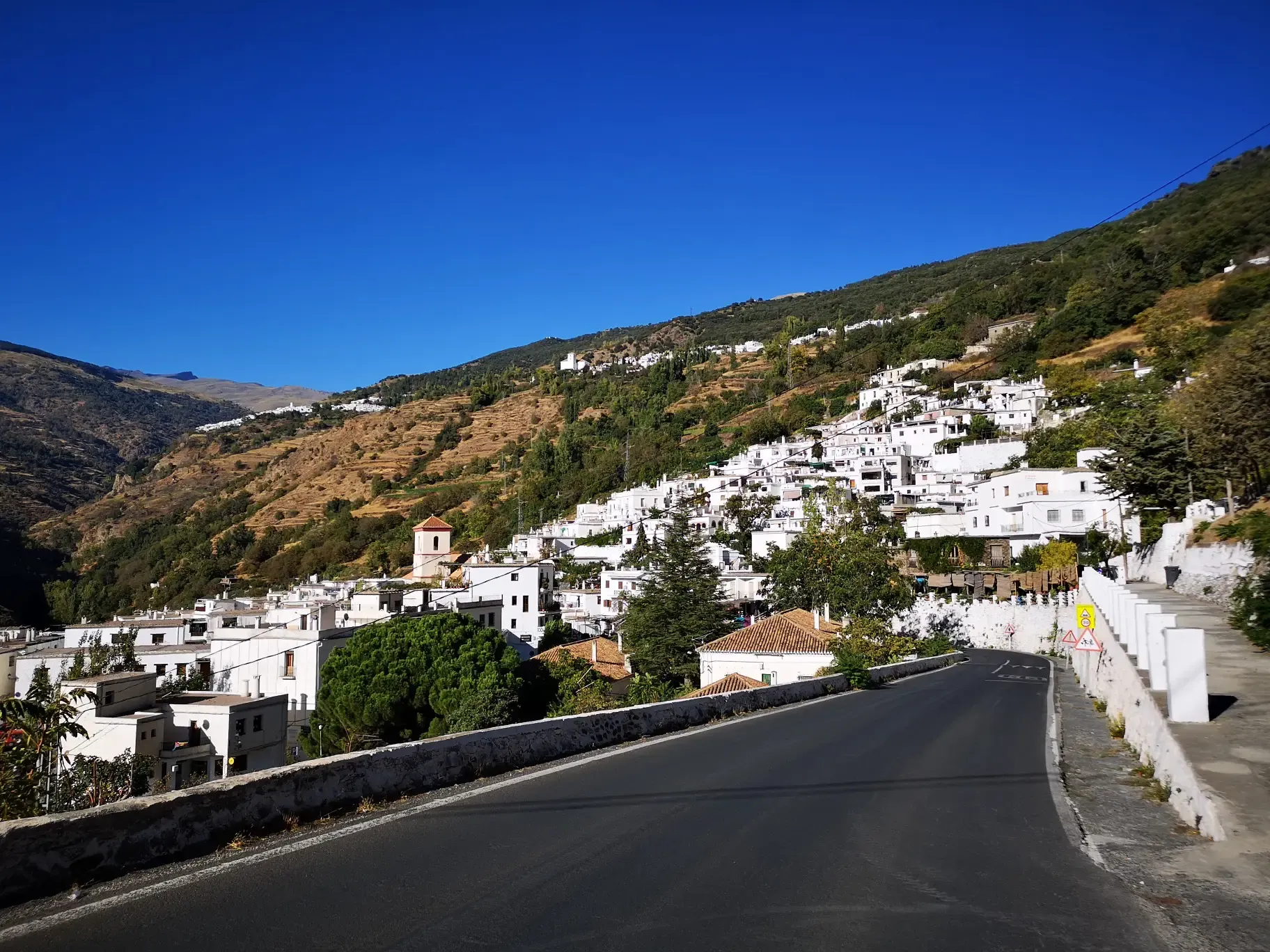
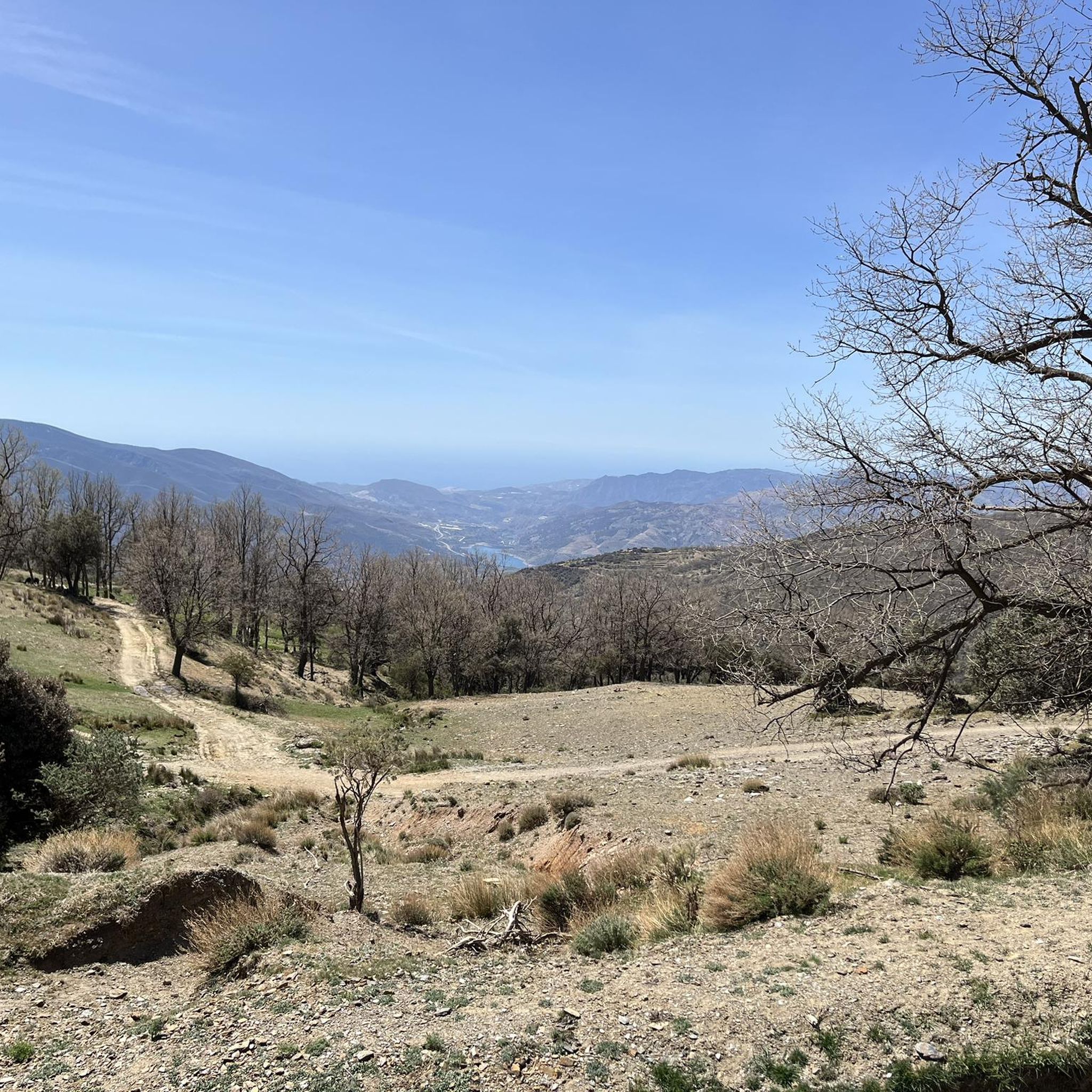
Quiet, scenic mountain road.
0
0

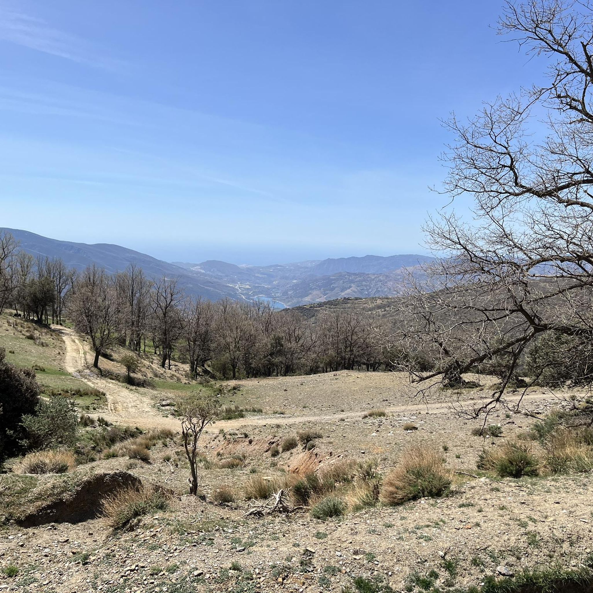
Nice descent from Trevelez 😎
0
0

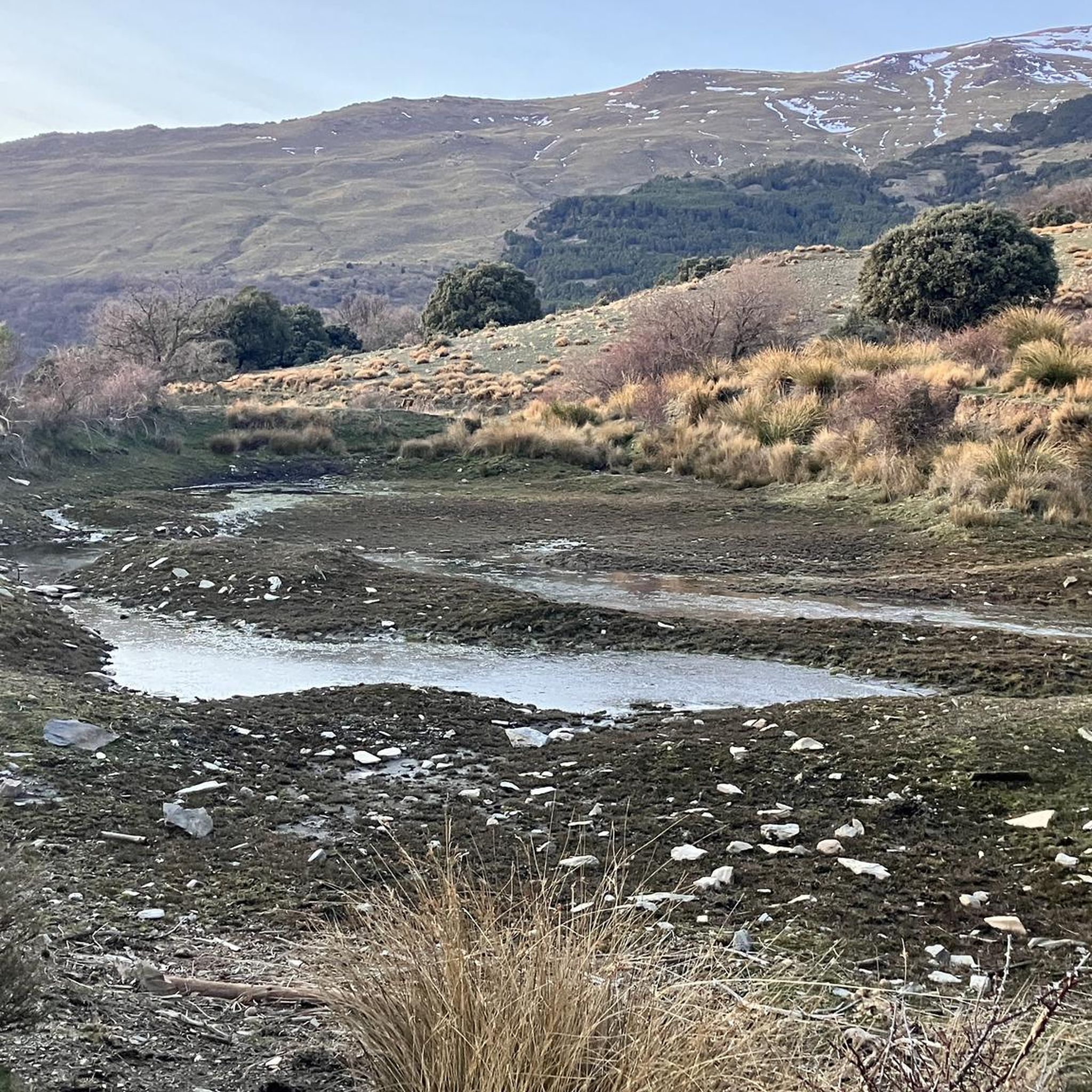
Between Veleta and Mulhacén peaks, at 3040 meters, there is a very special corner in this area of the Sierra Nevada. This is the Río Seco glacial cirque, a complex of lagoons that dries up in summer but that you can observe during the rest of the year.
0
0

In winter, you can't go any further here because the ski slope crosses the road and from here on the road is no longer cleared.
3
0
Mostly good asphalt (2023), little traffic and a great, impressive landscape. We recommend.
0
0

Sierra Nevada is the highest mountain range in western Europe after the Alps, with incredible Cols and landscapes to ride and the Europe's southernmost Sky resort. The city center of Granada is just at 45km from the top of Pico Veleta (3.394m), considered one of the longest, hardest and most challenging climbs in the world, completely cyclable by this North side through the highest paved road in Europe. The South climb to Pico Veleta starts from the village of Capileira, located at La Alpujarra. This off-road climb, without technical difficulties beyond the elevation and the mountain weather, includes some small shelters over 3.000m height (La Caldera, Villavientos and La Carihuela), although due to the snowfields the route is only cyclable in summer.
1
1

The northern part of the Sierra Nevada – where the ski area is located – may have nothing in common with the pristine southern slopes, but this region also has its charm – especially when the magnificent descent on smooth asphalt down into the valley awaits you.
2
0
Small breakthrough on the rock, which brings you a good deal closer to the Pico del Veleta on the hiking trail through the Sierra Nevada and also a perfect spot for a photo!
1
0
Frequently Asked Questions
What are some popular mountain passes and routes near Soportújar?
Among the popular routes, you'll find the Mountain Road Between Pampaneira and Pitres, known for its scenic views, good asphalt, and low traffic. Another notable spot is Puerto de Pitres, an intermediate mountain pass with historical significance.
Are there challenging mountain passes or climbs in the Soportújar area?
Yes, the Sierra Nevada area offers challenging climbs, including one of the longest and hardest in the world. The climb to Pico Veleta, for instance, is considered highly demanding. For hikers, the Mountain Trail at Río Chico – Dike 24 Loop is a challenging 22.6-kilometer circular route with significant elevation gain.
What kind of natural features and viewpoints can I expect to see on these mountain routes?
The routes around Soportújar offer diverse natural beauty. You can expect panoramic views of the snow-capped Sierra Nevada peaks, picturesque valleys, pine and holm oak forests, and traditional irrigation channels (*acequias*). Specific highlights include the Río Chico waterfall, the imposing Dique 24, and the glacial cirque at Portillo de Río Seco, which offers stunning views between the Veleta and Mulhacén peaks.
What is the historical significance of mountain passes in this region?
The region's routes, such as sections of the GR7, often follow ancient mule and donkey tracks, reflecting centuries of local travel and trade. Puerto de Pitres, for example, is steeped in local legend, offering a glimpse into the region's past and its unique cultural heritage.
What outdoor activities can I do near the mountain passes of Soportújar?
The area is ideal for various outdoor activities. You can find numerous hiking trails, from easy strolls to challenging multi-hour treks. There are also running trails and road cycling routes. For more details on specific routes, you can explore the Hiking around Soportújar, Running Trails around Soportújar, and Road Cycling Routes around Soportújar guides.
Are there specific hiking trails near Soportújar that offer a mountain pass experience?
While Soportújar is known more for its extensive hiking trails than named passes, routes like the GR7 Long-Distance Trail and the Mountain Trail at Río Chico – Dike 24 Loop provide significant elevation changes and mountain passage experiences. The route to O'Sel Ling Buddhist Center also offers a peaceful ascent into the mountains with rewarding views.
What is the best time of year to visit the mountain passes and trails around Soportújar?
The best time to visit largely depends on your activity. For high-altitude routes like those in the Sierra Nevada, summer is ideal as snowfields can make routes impassable at other times. For lower and intermediate trails, spring and autumn offer pleasant temperatures and vibrant landscapes. Winter can bring snow, especially at higher elevations, making some areas, like the Ski Slope Crossing on the Sierra Nevada Road, inaccessible.
Are there any circular or loop trails available for hikers?
Yes, there are several circular routes. A notable challenging option is the Mountain Trail at Río Chico – Dike 24 Loop, which starts and ends in Soportújar. Other loop options can be found in the Hiking around Soportújar guide, such as the Acequia de Almiar loop.
What do visitors enjoy most about the mountain passes and trails in the Soportújar region?
Visitors frequently praise the impressive and quiet landscapes, the good asphalt on cycling routes, and the diverse natural scenery. The historical significance of places like Puerto de Pitres and the challenging climbs of Sierra Nevada are also highly appreciated. The opportunity for stunning photos, especially at spots like Portillo de Río Seco, is also a highlight.
Are there any spiritual or unique cultural sites accessible via mountain routes?
Yes, the route to the O'Sel Ling Buddhist Center offers a unique blend of nature and spirituality. This moderate hike leads through mountain paths to a tranquil spiritual center inaugurated by the Dalai Lama, providing beautiful views of the Poqueira Cliff and the Órgiva Valley.
What are the typical terrain and elevation changes like on the trails around Soportújar?
The terrain varies significantly, from well-signed paths on sections of the GR7 to uneven, narrow, steep, and rocky sections. You'll traverse diverse landscapes including valleys, forests, pastures, and groves of almond and olive trees. Elevation changes can be substantial, with challenging routes like the Mountain Trail at Río Chico – Dike 24 Loop featuring around 900 meters of gain over 22.6 kilometers.
Can I find facilities or shelters on the higher mountain routes?
On some of the higher routes, particularly in the Sierra Nevada, you might find small shelters above 3,000 meters, such as La Caldera, Villavientos, and La Carihuela. However, it's always advisable to be prepared for mountain weather conditions.
Most popular routes around Soportújar
Most popular attractions around Soportújar

Get inspired with the komoot mobile app


Explore more
See even more epic mountain passes by checking out these guides around Soportújar:
