The best cycling routes around Soportújar
4.6
(55)
1,662
riders
55
rides
Touring cycling routes around Soportújar traverse the Sierra Nevada mountains and the Alpujarra region, offering a diverse landscape for cyclists. The area features challenging ascents and descents, with terrain ranging from paved roads to unpaved sections. Cyclists can experience varied elevations, transitioning from verdant valleys to higher, more arid zones. Panoramic views of the surrounding mountains and valleys are common along these routes.
Best touring cycling routes around Soportújar
- The most popular touring cycling route is Tajos del Ángel Viewpoint…
Last updated: October 7, 2026
5.0
(2)
94
riders
69.0km
06:50
2,090m
2,080m
Hard bike ride. Very good fitness required. You may need to push your bike for some segments of this route.
5.0
(1)
113
riders
69.5km
05:25
1,870m
1,870m
Hard bike ride. Very good fitness required. Mostly paved surfaces. Suitable for all skill levels.

4.0
(3)
44
riders
34.8km
02:47
880m
880m
Hard bike ride. Very good fitness required. Mostly paved surfaces. Suitable for all skill levels.
5.0
(1)
10
riders
52.3km
05:02
1,690m
1,690m
Hard bike ride. Very good fitness required. Mostly paved surfaces. Suitable for all skill levels.
13
riders
94.5km
06:50
2,030m
2,030m
Hard bike ride. Very good fitness required. Mostly paved surfaces. Suitable for all skill levels.
Get access to more routes and recommendations from other explorers.
Already have an account?
Our route recommendations are based on thousands of hikes, rides, and runs completed by other people on komoot.
Start today with a free account
Your next adventure awaits.
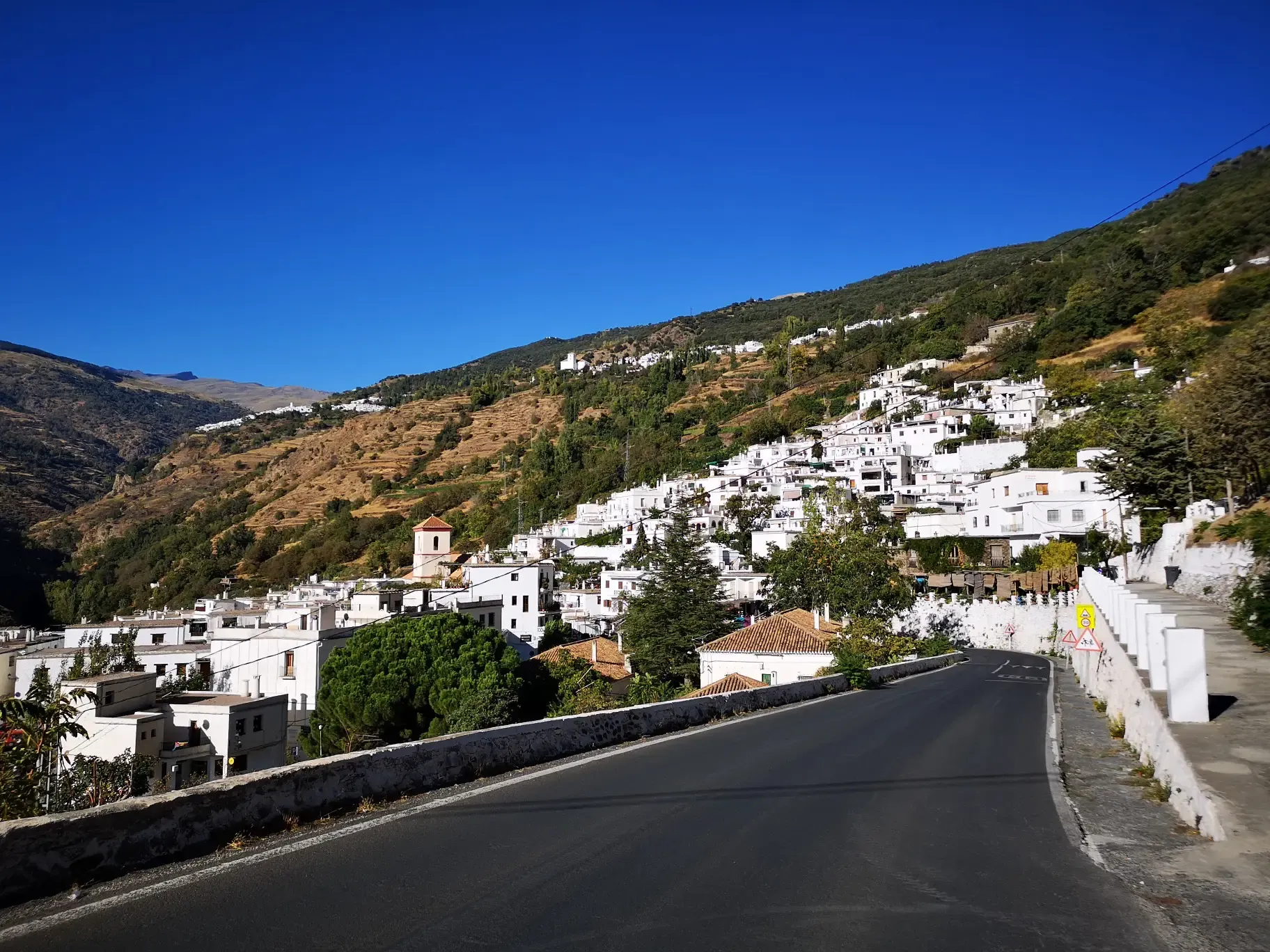
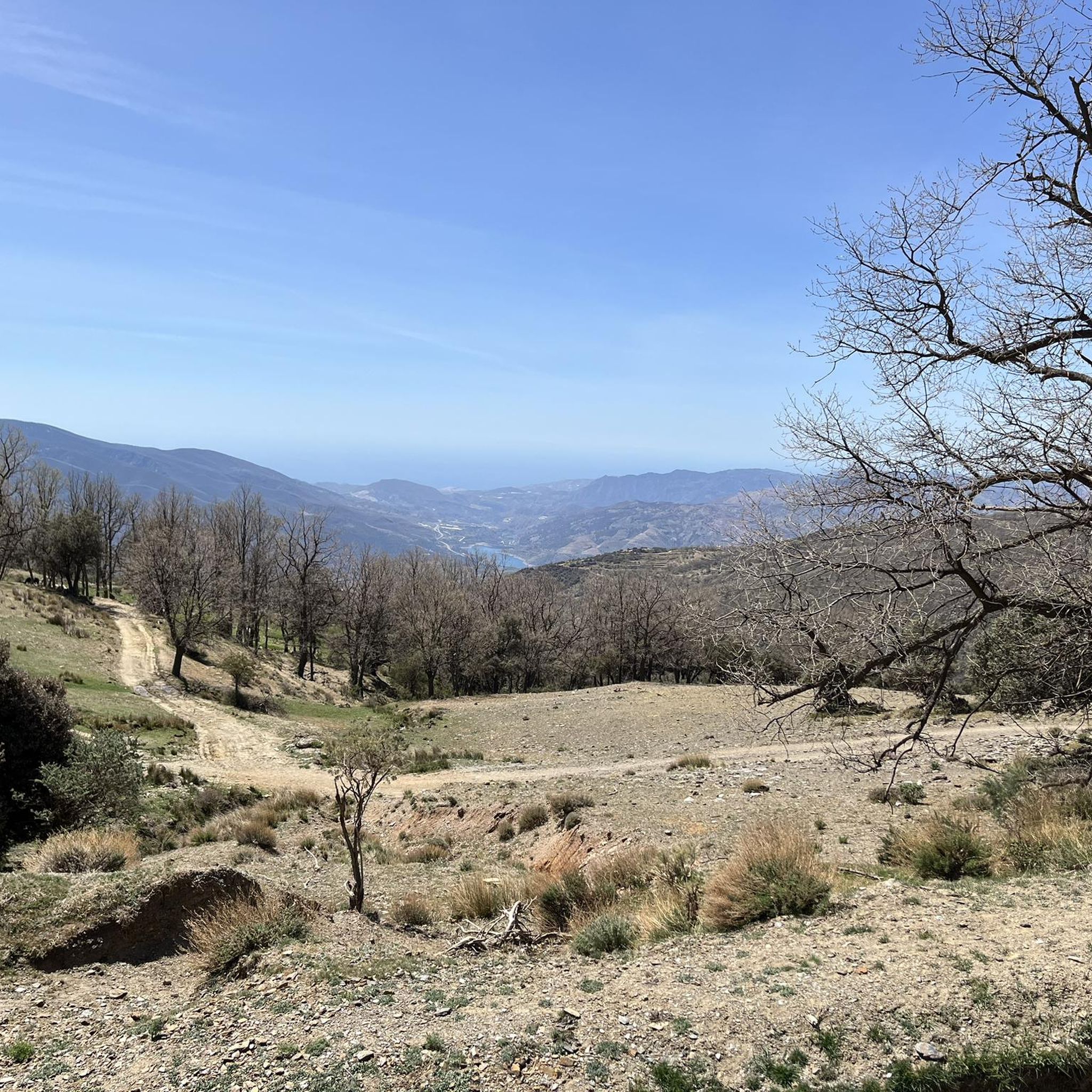
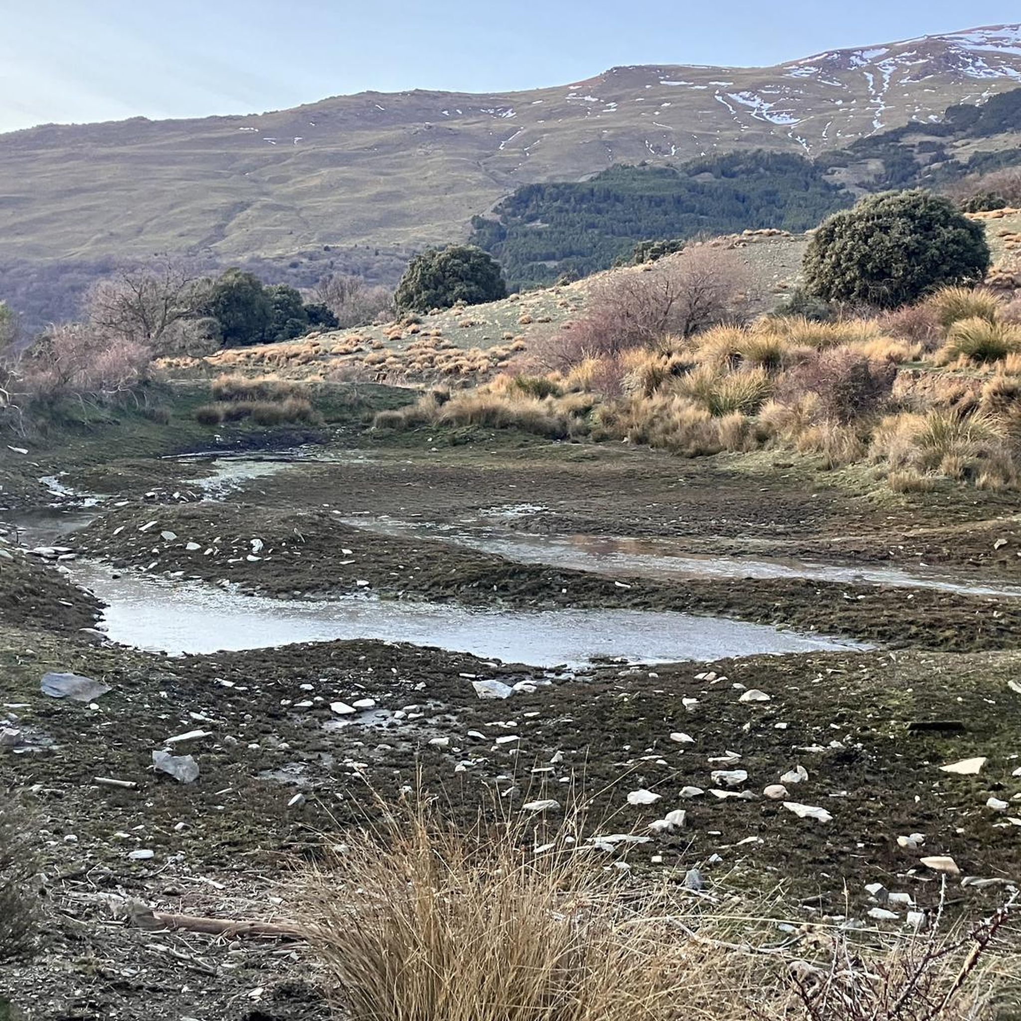


Other adventures around Soportújar

Tips from the Community

Surroundings of the Barranco de Poqueira, between the villages of Bubión, Capileira and Pampaneira, one of the most representative landscapes of the Alpujarra Granadina, on the southern slopes of Sierra Nevada.
1
0

Órgiva is a charming Spanish municipality located in the province of Granada, in Andalusia, and is historically considered the capital and administrative center of the western Alpujarra. This town of about 6,000 inhabitants stands at an altitude of 450 meters in the fertile valley of the Guadalfeo River, right at the foot of the Sierra Nevada Natural Park.
0
1

From this small road, you can see the high peaks of Sierra Nevada with their white summits in winter. This panoramic view gives encouragement to cyclists traveling on this road.
0
0
Murals with Scenes and Names of Villages Each mural depicts typical scenes of the Alpujarra villages, with white houses, churches, and landscapes, accompanied by the village's name in large letters. The most prominent is the mural with the word "Órgiva" and an image of its twin-towered church.
9
0
In Órgiva, the tile murals dedicated to the villages of the Alpujarra region are located in the Plaza de la Alpujarra, an emblematic space in the town center. Ceramic Map of the Alpujarra This large tile mural displays a detailed map of the region, including villages such as Lanjarón, Pampaneira, Bubión, Capileira, Trevélez, Cádiar, and Torvizcón, among others. The design includes rivers, mountains, and roads, making it an ideal tool for orientation and route planning.
9
0
The municipality of Órgiva is part of the Sierra Nevada Natural Park and is located on its southern slopes. Known as the capital of the Alpujarra region of Granada, it is an ideal destination for combining culture, nature, and gastronomy.
11
0
The Veleta Peak viewpoint, located in the Sierra Nevada mountains (Granada), is one of the most spectacular spots to enjoy panoramic high-mountain views on the Iberian Peninsula. From the summit of Veleta you can enjoy: Views of the Mediterranean Sea on clear days. Panoramic views of Mulhacén, the highest peak on the peninsula. High-mountain landscapes with rock formations, snow (in winter), and native flora.
2
0

Frequently Asked Questions
What kind of terrain can I expect on touring cycling routes around Soportújar?
Touring cycling routes around Soportújar primarily traverse the Sierra Nevada mountains and the Alpujarra region. You'll encounter a diverse landscape with challenging ascents and descents. The terrain ranges from paved roads to unpaved sections, offering varied elevations that transition from verdant valleys to higher, more arid zones. Most routes are classified as difficult, requiring good fitness.
Are there any family-friendly touring cycling routes in Soportújar?
The touring cycling routes around Soportújar are predominantly classified as difficult, with significant elevation changes and varied terrain. There are currently no routes specifically categorized as easy or moderate for touring cycling in this area, making them less suitable for casual family rides with young children. Cyclists should be prepared for challenging conditions.
What are some notable viewpoints or landmarks along the cycling routes?
The region offers numerous stunning viewpoints. For instance, the route Tajos del Ángel Viewpoint – Pico Veleta viewpoint loop from Capileira provides extensive climbs and panoramic views towards Pico Veleta viewpoint and Tajos del Ángel Viewpoint. Other routes offer vistas of traditional Alpujarran villages like Pampaneira, Bubión, and Capileira.
Can I find circular touring cycling routes starting from Soportújar or nearby villages?
Yes, there are several circular touring cycling routes available. A popular option is the Bubión Village – Capileira Village loop from Soportújar, which covers 30.7 km and leads through the heart of the Alpujarra. Another loop, View of the village of Pampaneira – Bubión Village loop from Órgiva, explores traditional villages and offers scenic views.
Are there any waterfalls or natural water features accessible by touring bike?
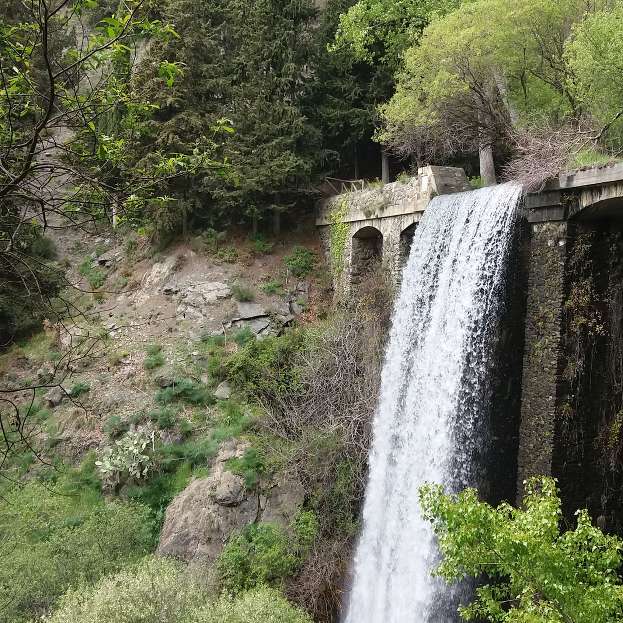
While the region is known for its natural beauty, one specific highlight accessible in the broader area is the Lanjarón River Waterfall. The region also features natural attractions like Dique 24, a 30-meter waterfall, though direct touring cycling access may vary.
What is the best time of year for touring cycling in Soportújar?
The best time for touring cycling in Soportújar generally avoids the peak heat of summer and the colder, potentially snowy conditions of winter at higher altitudes. Spring (April-May) and Autumn (September-October) offer more temperate weather, making them ideal for tackling the challenging routes and enjoying the panoramic views.
How many touring cycling routes are available in the Soportújar area?
There are over 30 touring cycling routes available around Soportújar. The vast majority of these, 32 out of 33, are classified as difficult, indicating that they are best suited for experienced cyclists.
What do other cyclists say about touring cycling in Soportújar?
The touring cycling routes in Soportújar are highly rated by the komoot community, with an average score of 4.8 stars from over 35 reviews. Cyclists often praise the challenging terrain, the stunning panoramic views of the Sierra Nevada mountains, and the unique experience of cycling through the traditional Alpujarran villages.
Are there any long-distance touring cycling options or stage routes near Soportújar?
Soportújar is part of the GR7 trail, a long-distance hiking route that can be integrated into cycling tours, connecting to other villages and natural areas. Additionally, stage routes across the Sierra Nevada also start from or pass through the vicinity, offering options for extended touring adventures.
Can I find places to rest or refuel along the touring cycling routes?
While specific cafes or pubs directly on every route segment are not detailed, the routes often pass through or near traditional white mountain villages like Capileira, Bubión, and Pampaneira. These villages typically offer amenities where cyclists can find places to rest, eat, and refuel.
What is the longest touring cycling route in the Soportújar area?
One of the longest and most challenging touring cycling routes in the area is the Tajos del Ángel Viewpoint – Pico Veleta viewpoint loop from Capileira. This route spans 68.6 km (42.6 miles) with an elevation gain of over 2,000 meters, typically taking nearly 7 hours to complete.
Are there any huts or shelters along the touring cycling routes in Soportújar?
Yes, within the broader Sierra Nevada area accessible from Soportújar, there are several huts and shelters. Notable options include Carihuela Bivouac Shelter and Refugio Poqueira, which can be useful for longer rides or multi-day tours.
Most popular routes around Soportújar
Most popular attractions around Soportújar

Get inspired with the komoot mobile app


Explore more
Browse the best Cycling routes in other regions.
