Top 9 Mountain Passes around Valleseco
Best mountain passes around Valleseco, a municipality in Gran Canaria, are characterized by lush landscapes and extensive hiking opportunities. The region offers numerous elevated points, ridges, and challenging trails that provide expansive views and rewarding experiences. These routes often traverse diverse ecosystems, from cloud forests to dense laurel forests and pine groves. Valleseco is known for its green environment, making it a notable area for exploring natural features.
Best mountain passes around Valleseco
- The most popular mountain passes is San…
Last updated: August 25, 2026
Cruz de Tejeda
Highlight • Mountain Pass
Showing Translation
Tip by

San Bartolomé–Ayacata Road
Highlight (Segment) • Cycleway
Tip by

Sign up now to discover places like this
Get recommendations on the best single tracks, peaks, & plenty of other exciting outdoor places.
Sign up for free
GC-130 Scenic Road
Highlight (Segment) • Mountain Pass
Translated by Google •
Tip by

Degollada de la Cruz Grande Viewpoint
Highlight • Viewpoint
Translated by Google •
Tip by

Degollada de los Hornos Pass
Highlight • Mountain Pass
Showing Translation
Tip by

Sign up for free to discover even more mountain passes around Valleseco.
Sign up for free
Already have an account?
Start today with a free account
Your next adventure awaits.
Login or Signup


Tips from the Community

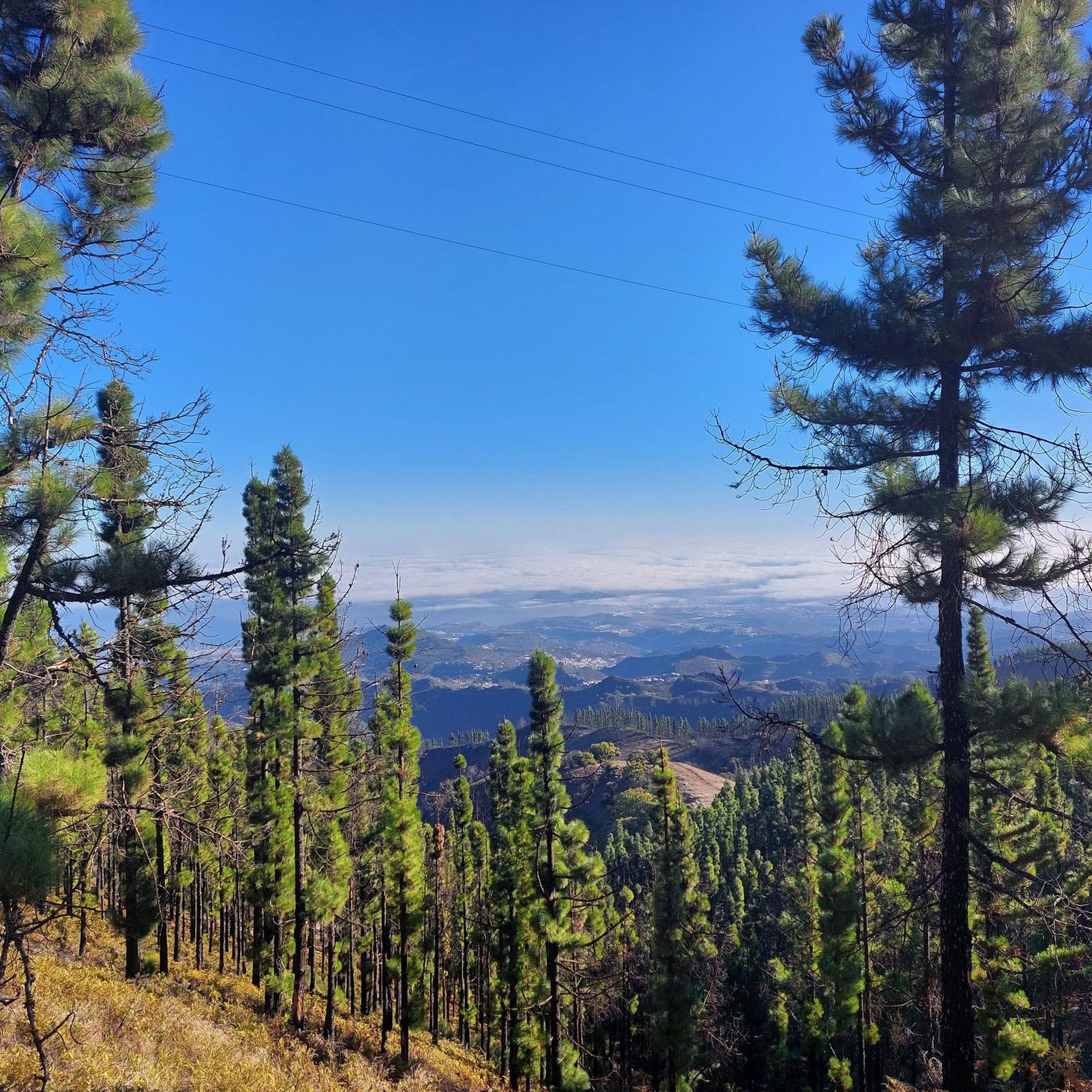
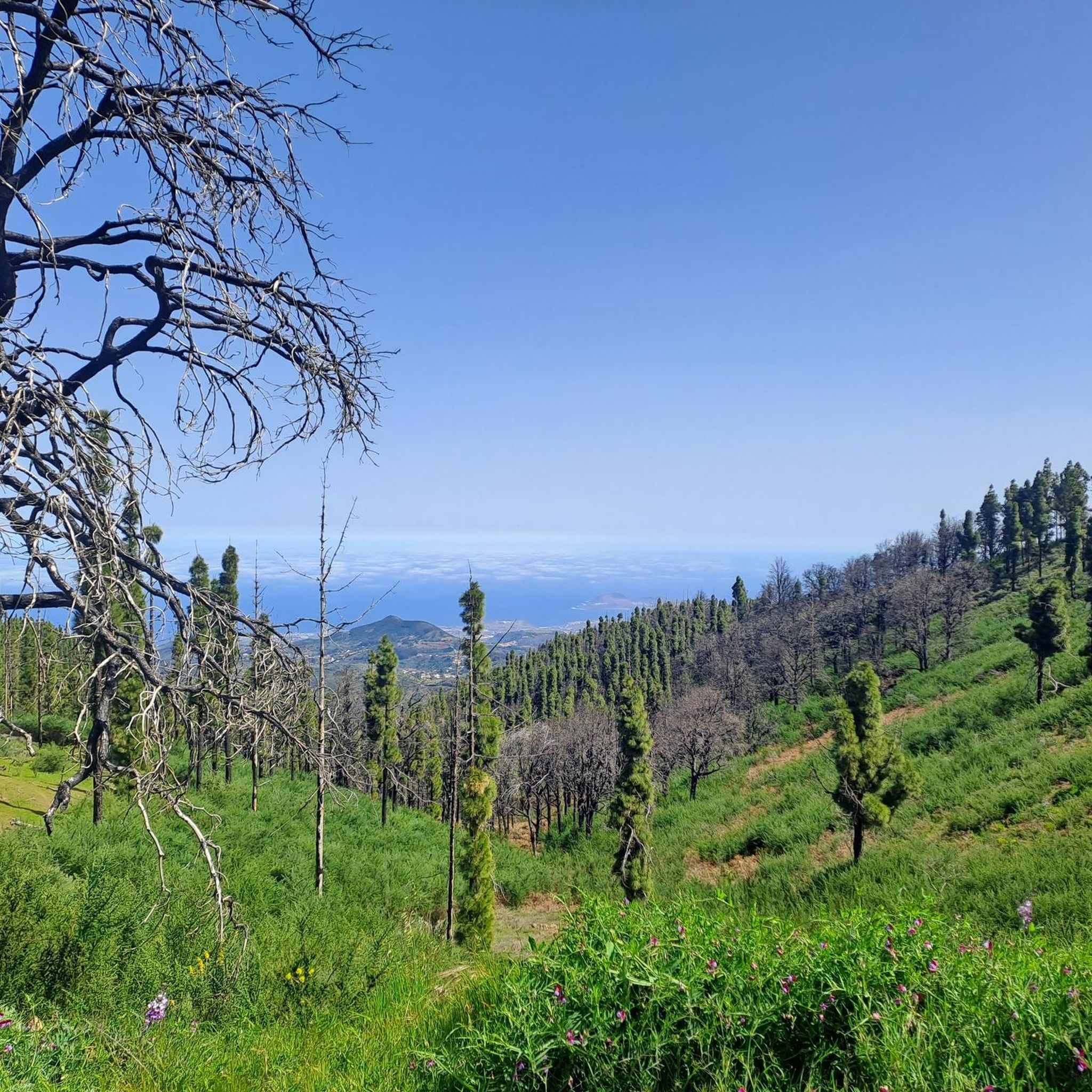
In a magnificent location in the middle of pine forests, you can choose here to take the upper or lower hiking trail to climb to Pico de las Nieves.
0
0

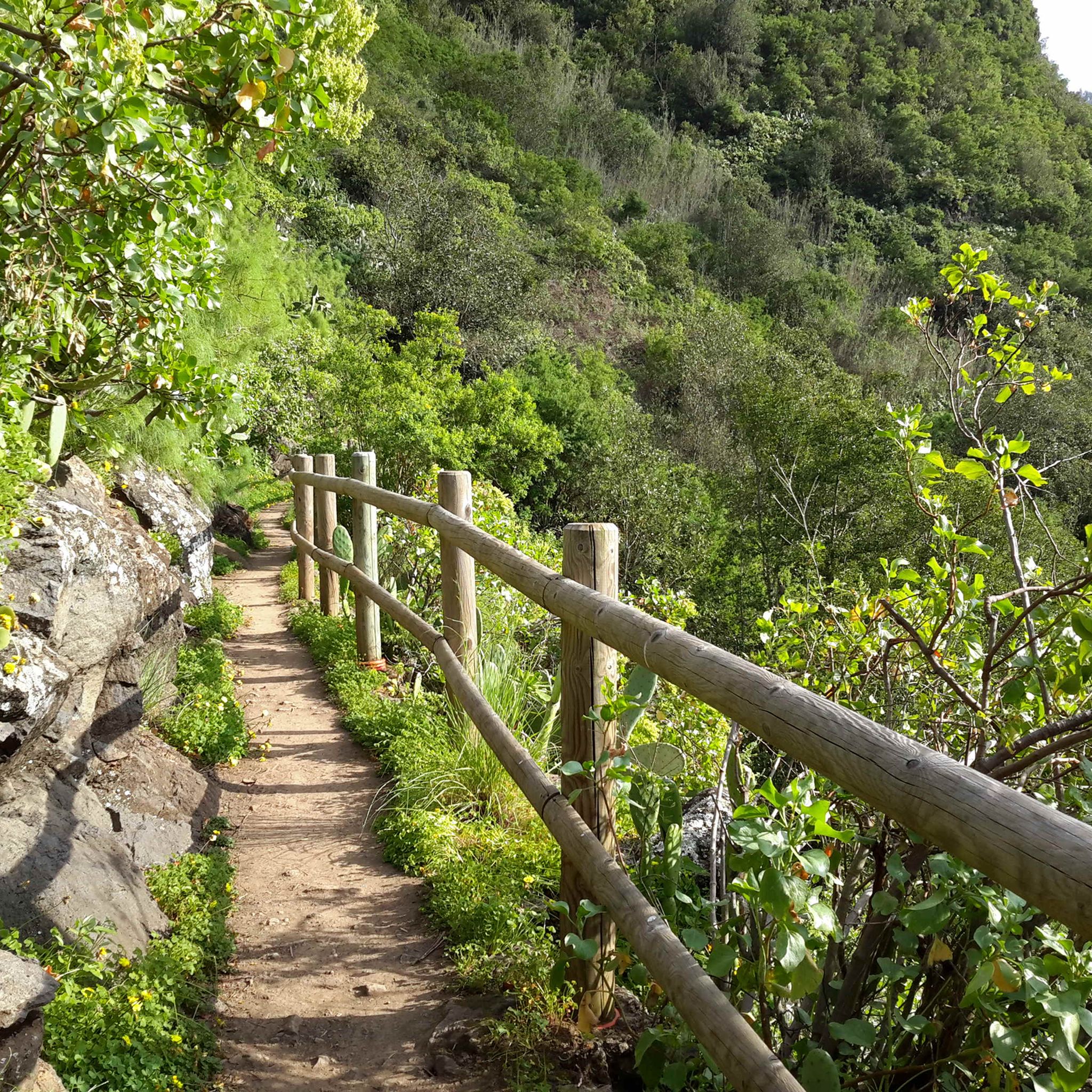
The entire route is freshly paved. A dream.
1
0

From here you can go hiking, there is a public car park nearby. Locals offer various delicacies😊
1
0
Cruz Grande is an excellent starting point for many hikes.
1
0

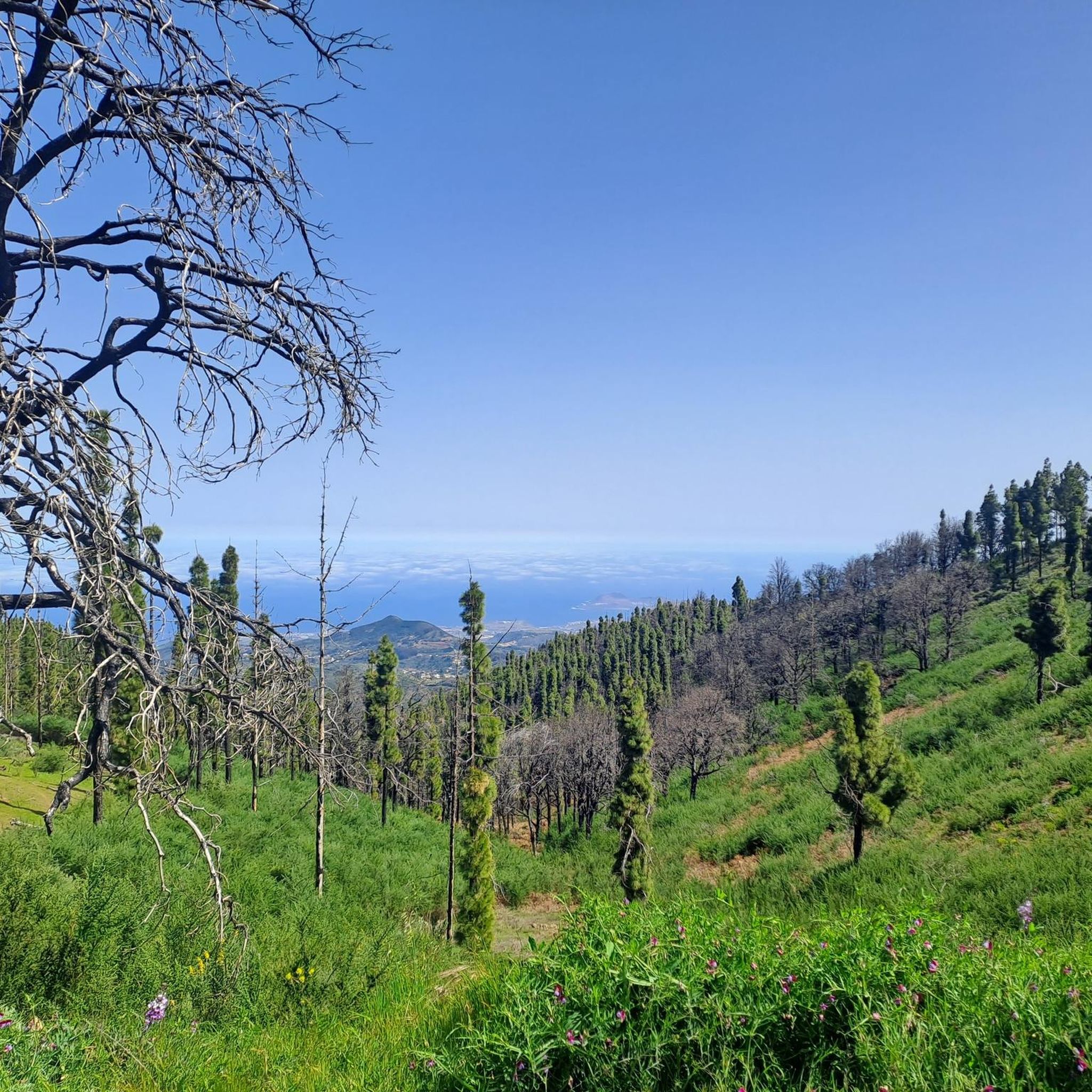
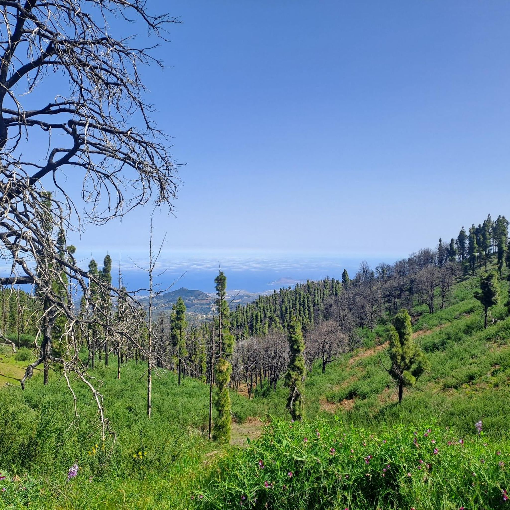
The Degollada (valley) of the Cruz Grande offers views of two different valleys. On one side you can see the Caldera de Tirajana, and on the other the Chira basin and the pine forest of Pilancones. This is where the paths from north to south cross. The main route is known as the Ruta de la Plata, and was formerly part of a cattle route for transhumance, as well as part of the Way of St. James in Gran Canaria. The oldest volcanic materials are clearly visible in the Caldera de Tirajana due to the effect of erosion, such as the vent "Risco Blanco" and the volcanic layers "Rompeserones" and "Sepultura del Gigante". The plateaus "El Sequero", "El Sitio" and "Los Llanos de Madrid" were formed by the sliding of volcanic materials. In the ravines are the archaeological sites of. "Rosiana", "Los Sitios" and "La Fortaleza de Ansite". In the fertile and cultivated valley you can see the remains of the former palm groves that originally grew here. The Canary Island pine is common in the upper region of the caldera and the slopes are a habitat for some native botanical rarities. In the upper region of Ayagaures is the natural park and pine grove, Parque Natural de Pilancones, which has a great geological and botanical landscape value. As for the flora of the area, the Canary Island pine plays a major role. A species of rockrose and a viper's bugloss are particularly noteworthy. The area is also a bird sanctuary for the native great spotted woodpecker and the finch. The area was declared a World Biosphere Reserve by UNESCO on 29 June 2005.
3
0

Here you can decide whether you want to climb to the Pico de las Nieves via the upper or lower hiking trail.
4
0
The Cruz Grande is a pass that lies at an altitude of 1249 meters. The saddle is also called Degollada de la Cruz Grande. From up there you can enjoy views of two different valleys. On one side you can see the Caldera de Tirajana and on the other side the Chira basin. Many old paths meet at the Cruz Grande, such as the Ruta de la Plata, which is also part of the Way of St. James in Gran Canaria. During your hike you will also come to the Cruz Grande. From there you descend on the Camino Real to San Bartolomé.
2
0
The Degollada (valley) of the Cruz Grande offers views of two different valleys. On one side you can see the Caldera de Tirajana, and on the other the Chira basin and the pine forest of Pilancones. This is where the paths from north to south cross. The main route is known as the Ruta de la Plata, and was formerly part of a cattle route for transhumance, as well as part of the Way of St. James in Gran Canaria. The oldest volcanic materials are clearly visible in the Caldera de Tirajana due to the effect of erosion, such as the vent "Risco Blanco" and the volcanic layers "Rompeserones" and "Sepultura del Gigante". The plateaus "El Sequero", "El Sitio" and "Los Llanos de Madrid" were formed by the sliding of volcanic materials. In the ravines are the archaeological sites of. "Rosiana", "Los Sitios" and "La Fortaleza de Ansite". In the fertile and cultivated valley you can see the remains of the former palm groves that originally grew here. The Canary Island pine is common in the upper region of the caldera and the slopes are a habitat for some native botanical rarities. In the upper region of Ayagaures is the natural park and pine grove, Parque Natural de Pilancones, which has a great geological and botanical landscape value. As for the flora of the area, the Canary Island pine plays a major role. A species of rockrose and a viper's bugloss are particularly noteworthy. The area is also a bird sanctuary for the native great spotted woodpecker and the finch. The area was declared a World Biosphere Reserve by UNESCO on 29 June 2005.
6
1
Frequently Asked Questions
What are the most scenic mountain passes and viewpoints around Valleseco?
Valleseco offers numerous elevated points and ridges with breathtaking views. Notable spots include Cruz de Tejeda, a popular mountain pass and tourist hotspot known for its fantastic panoramic views. The Degollada de la Cruz Grande Viewpoint provides expansive views of two different valleys, including the Caldera de Tirajana and the Chira basin. Additionally, the San Bartolomé–Ayacata Road and GC-130 Scenic Road offer beautiful vistas along their routes.
What kind of natural features can I expect to see on mountain passes in Valleseco?
Valleseco is renowned for its lush landscapes and diverse ecosystems. When exploring its elevated points and trails, you can expect to encounter cloud forests, dense laurel forests (especially in areas like Finca de Osorio and Doramas Nature Reserve), and pine groves. Features like the Barranco de la Virgen offer waterfalls and rich biodiversity, including native birds and endemic plants. The region's terrain provides a constantly changing landscape, from mist-covered areas to clear blue skies.
Are there any historical or cultural aspects to the mountain passes in Valleseco?
Yes, some areas around Valleseco's elevated points hold historical significance. For instance, the Degollada de la Cruz Grande Viewpoint is a crossroads for paths, including the 'Ruta de la Plata,' which was historically a cattle route and part of the Way of St. James in Gran Canaria. The Caldera de Tirajana, visible from this viewpoint, also showcases ancient volcanic materials and archaeological sites like 'Rosiana' and 'La Fortaleza de Ansite.' At Cruz de Tejeda, you can find local craft stalls, reflecting the region's cultural heritage.
Are there family-friendly mountain passes or viewpoints in Valleseco?
Yes, Valleseco offers options suitable for families. Cruz de Tejeda is categorized as family-friendly and provides amenities like restaurants and craft stalls, making it a comfortable stop. The Finca de Osorio, part of the Doramas Nature Reserve, features extensive hiking trails through green meadows and forests, with numerous natural viewpoints that are ideal for nature lovers of all ages.
What is the best time of year to visit Valleseco for exploring its mountain passes?
Valleseco is known as one of the greenest municipalities on Gran Canaria, especially during the winter and spring months. Visiting during these seasons will allow you to experience the lush landscapes, vibrant flora, and potentially mist-covered cloud forests at their most beautiful. The weather during these times is generally pleasant for hiking and exploring the elevated points.
How accessible are the mountain passes in Valleseco by public transport?
Public transport options exist for some key locations. For example, the Degollada de la Cruz Grande Viewpoint has a bus stop served by bus line 18 (Maspalomas <-> Tejeda). However, service frequency can be limited, so it's advisable to check schedules in advance. For other elevated points and trails, personal transport might offer more flexibility.
Are there places to eat or stay near the mountain passes in Valleseco?
Yes, at prominent locations like Cruz de Tejeda, you'll find a few restaurants and even a hotel (Hotel Parador de Cruz de Tejeda) with a spa and pool overlooking the valley. In the wider Valleseco area, you can find cafes and accommodation options, particularly in the main town, to support your exploration of the surrounding elevated points and trails.
What outdoor activities can I do near the mountain passes in Valleseco?
The Valleseco region is a haven for outdoor enthusiasts. You can enjoy extensive hiking opportunities, with trails ranging from moderate to challenging. The area is also popular for running and mountain biking. For detailed routes and guides, you can explore options like Hiking around Valleseco, Running Trails around Valleseco, and Mountain Hikes around Valleseco.
Are there specific hiking trails near these mountain passes?
Yes, many elevated points serve as starting points or are integrated into hiking trails. For example, the Degollada de la Cruz Grande Viewpoint is an important starting point for hikes to the Chira reservoir, San Bartolomé, Cruz de Tejeda, or Pico de las Nieves. The Barranco de la Virgen also offers diverse trails, including technical paths through pine forests. You can find more detailed hiking routes in the Hiking around Valleseco guide.
What are some challenging routes or climbs in the Valleseco area?
For those seeking a challenge, the Valleseco area offers routes with significant elevation gains. The San Bartolomé–Ayacata Road is known for its nice climbs, though the surface can be rough. The GC-130 Scenic Road also features quite steep climbs. The journey to El Prado, along the circular hiking route from Valsendero to Valleseco, involves a significant ascent through a cloud forest. The Barranco de la Virgen is also part of the challenging 'Tres Valles Trail' race.
What wildlife can I observe around Valleseco's mountain trails?
The diverse ecosystems around Valleseco, particularly within the Doramas Nature Reserve and areas like the Barranco de la Virgen, are home to unique flora and fauna. You can observe native birds and endemic plants. The Parque Natural de Pilancones, visible from the Degollada de la Cruz Grande Viewpoint, is a bird sanctuary for the native great spotted woodpecker and the finch, and also features unique botanical rarities like a species of rockrose and a viper's bugloss.
Are there circular walks available from Valleseco's elevated points?
Yes, the Valleseco area offers circular walking routes that often incorporate its elevated points and scenic features. For example, a circular hiking route from Valsendero to Valleseco includes the significant ascent point of El Prado. Many trails within Finca de Osorio and the wider Doramas Nature Reserve also form loops, allowing visitors to experience diverse landscapes. You can find more information on circular routes in the Hiking around Valleseco guide.
Most popular attractions around Valleseco

Get inspired with the komoot mobile app


Explore more
See even more epic mountain passes by checking out these guides around Valleseco:
