The 3 Most Amazing Peaks in Buenos Aires
Best mountain peaks in Buenos Aires Province are found within the Sierra de la Ventana and Tandilia mountain ranges, offering elevated landscapes distinct from the flat terrain of Buenos Aires city. These ancient geological formations provide opportunities for trekking and scenic views. The region features a variety of peaks, from challenging summits to accessible viewpoints.
Best mountain peaks in Buenos Aires
- The most popular mountain peaks is Cerro Tres Picos Summit, a summit that is the highest point in…
Last updated: July 3, 2026
Cerro de las Ánimas
Highlight • Summit
Translated by Google •
Tip by

Cerro Tres Picos Summit
Highlight • Summit
Translated by Google •
Tip by

Sign up now to discover places like this
Get recommendations on the best single tracks, peaks, & plenty of other exciting outdoor places.
Sign up for free
La Movediza Hill
Highlight • Natural Monument
Translated by Google •
Tip by
Cerro Largo (viewpoint)
Highlight • Viewpoint
Translated by Google •
Tip by
Start today with a free account
Your next adventure awaits.
Login or Signup
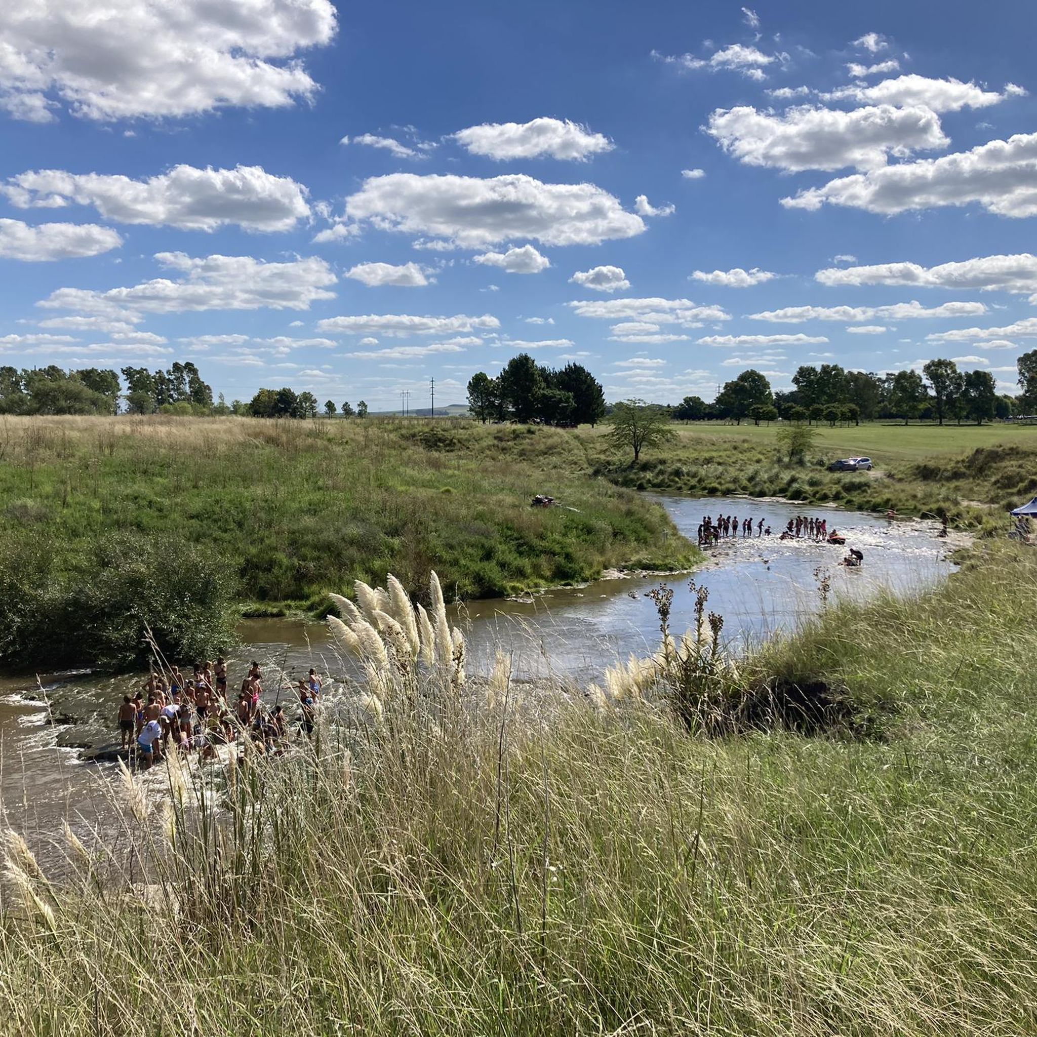
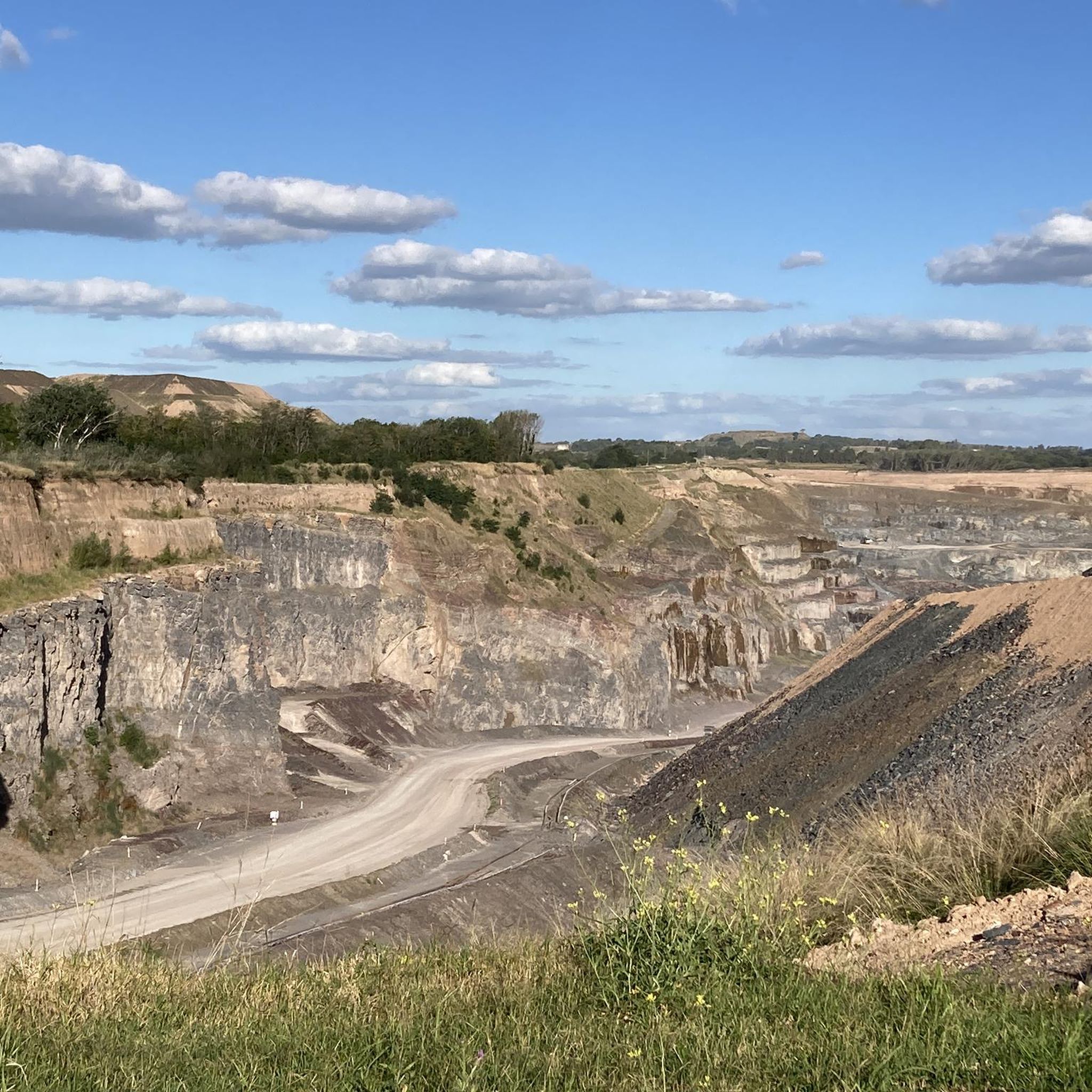
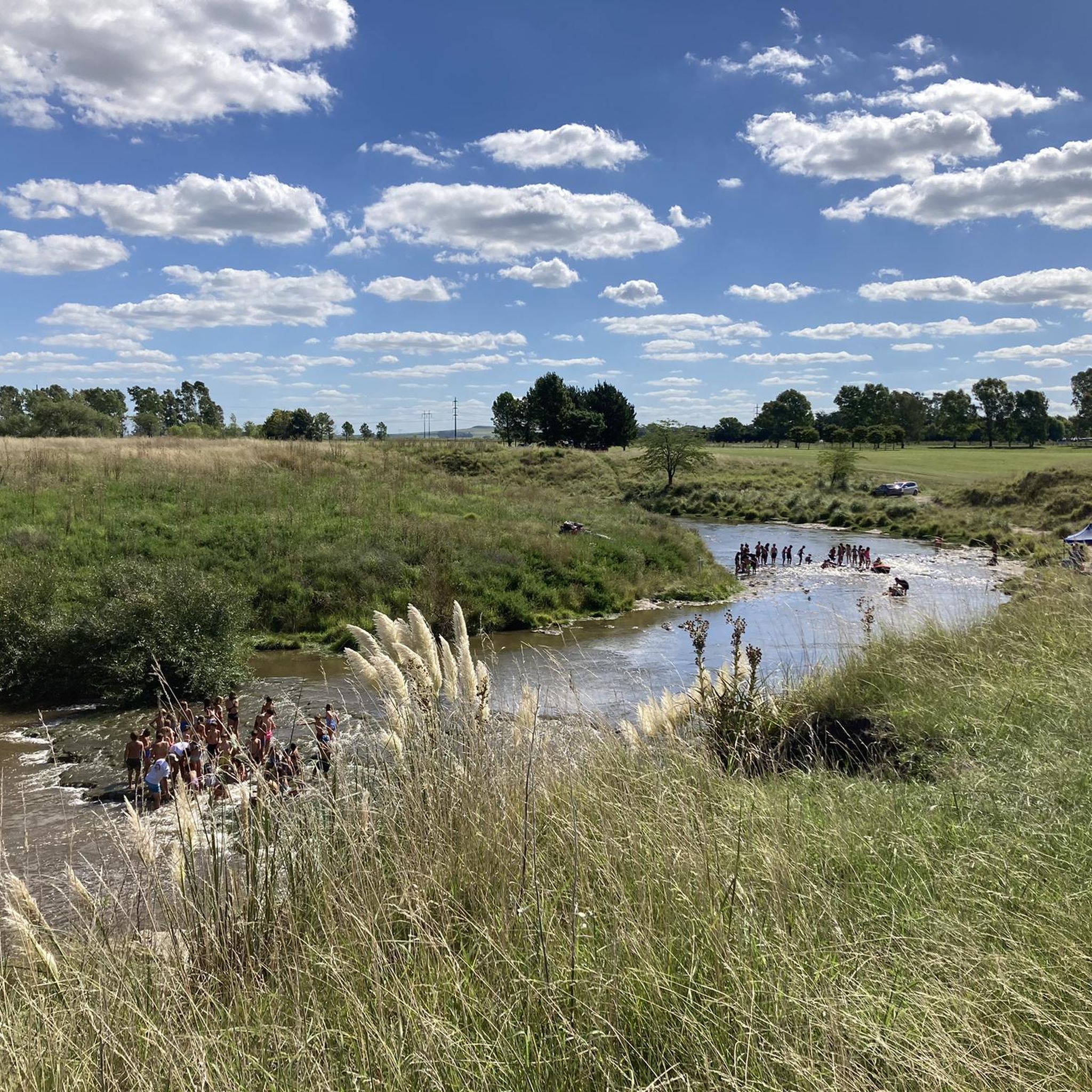
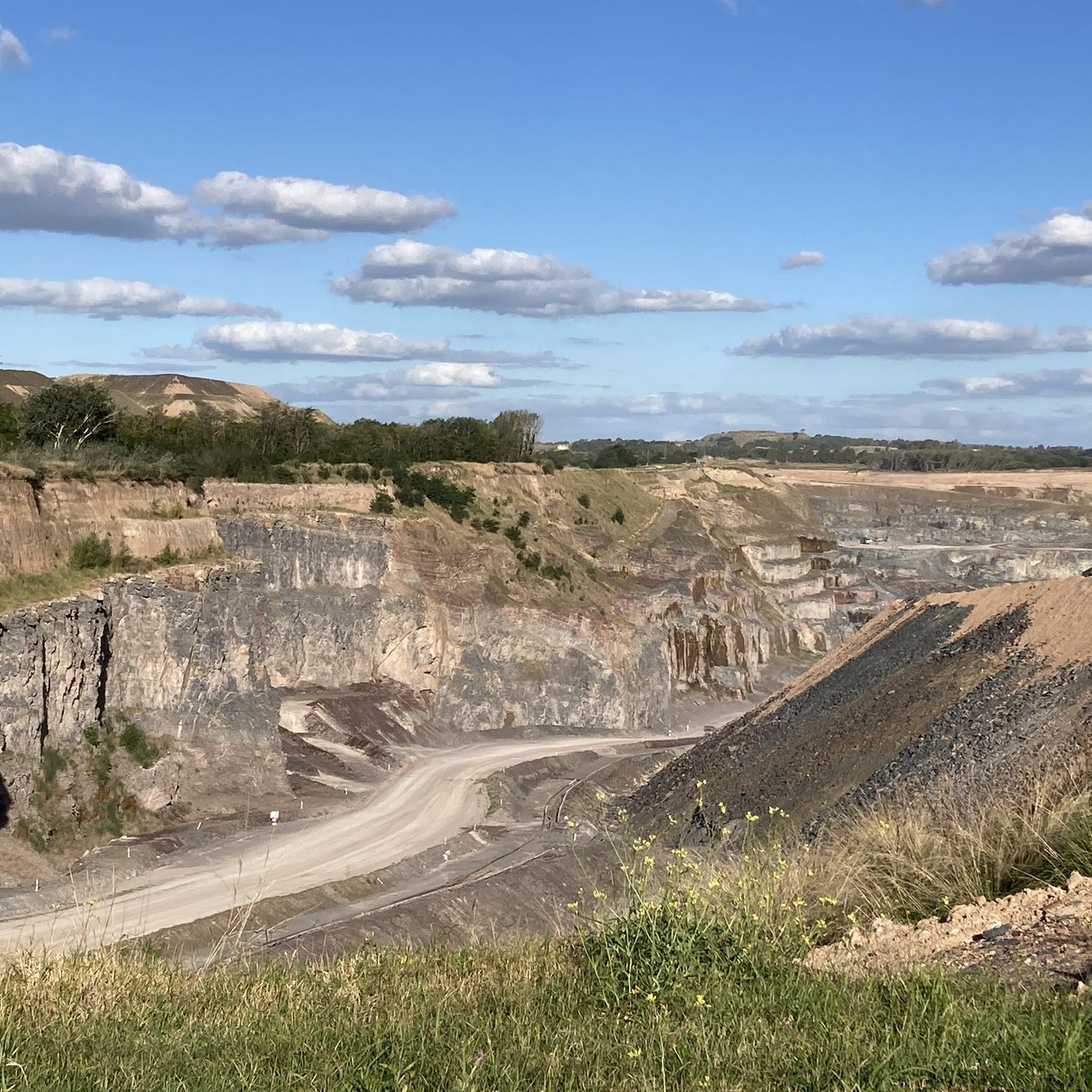
Tips from the Community

This hike is a medium-difficulty trail. It's recommended to wear good shoes, have water, and have promotions. Install the komoot app to use the map to guide you.
0
0


From its top at 501 meters above sea level, the views of the city of Tandil and the area are undoubtedly wonderful. The hill is part of the Tandilia chain, one of the oldest mountain formations in the American continent with 130 million years. The only disadvantage to having these impressive views is that you have to take a path that starts on private property from Sendero de las Animas and then goes into the mountains where you will have to open your way since there is no marked path. It is also a very entertaining and picturesque route, and reaching the top does not require too much physical demand. Remember that in the hot months you will not have shade to shelter until you reach the top where there are some trees. Bring water, proper footwear and long pants in case there is a viper in the mountains.
4
0
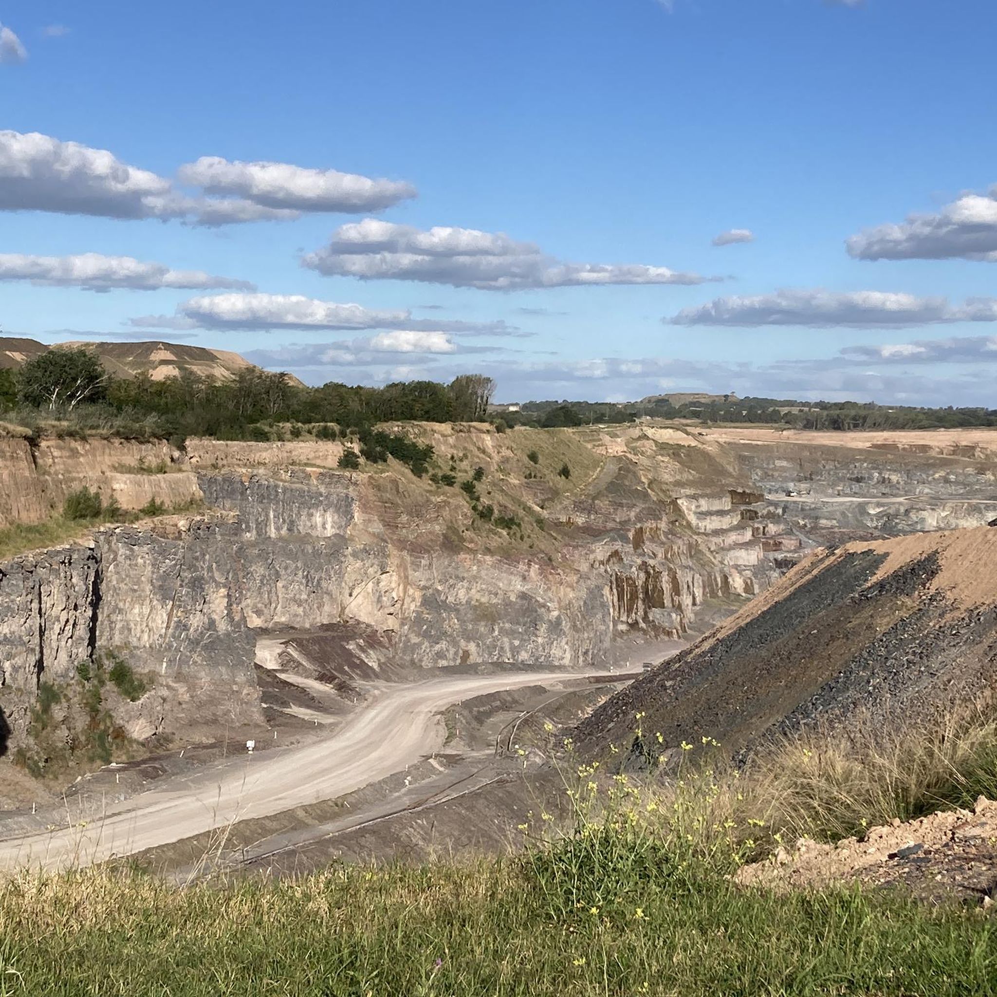
The Cerro Largo viewpoint offers the best panoramic views of the entire area of Sierras Bayas, Bella Vista, Mount Peloni and to the west the city of Olavarria. You can get here by car or by bike or on foot, there is a path that goes around the entire hill above and below. A very nice and quiet place that deserves to visit it with the family.
6
0
Private trail with very nice views towards the La Movediza hill. To access the replica of the famous stone, it is necessary to go to the access to the site, but you can only ascend on foot since it has stairs that are not suitable for bicycles. The Moving Stone of Tandil has been a phenomenon recognized worldwide for its uniqueness, a mass of granite weighing more than 300 tons that strangely remained in a delicate balance on the edge of the hill.
3
0
Frequently Asked Questions
What is the highest peak in Buenos Aires Province?
The highest point in Buenos Aires Province is Cerro Tres Picos, located in the Sierra de la Ventana range. It stands at 4,065 ft (1,239 m) and offers a challenging yet rewarding trekking experience, often taking two days for a full expedition. The summit provides expansive views, potentially reaching Bahía Blanca city. You can find more details about this peak on its highlight page: Cerro Tres Picos Summit.
Are there family-friendly mountain peaks to visit in Buenos Aires Province?
Yes, the Tandilia mountain range offers more accessible and family-friendly options. For instance, Cerro Largo (viewpoint) is noted as family-friendly and can be reached by car, bike, or on foot, offering panoramic views of Sierras Bayas and Olavarría. Cerro El Centinela in Tandil is also suitable for families, with a chairlift to the top and unique rock formations.
When is the best time to visit the mountain peaks in Buenos Aires Province?
Generally, the spring (September to November) and autumn (March to May) months offer pleasant temperatures for hiking and exploring the mountain peaks. Summers can be hot, especially in areas with little shade, while winters can be cooler. Always check local weather conditions before planning your trip.
What kind of natural features and views can I expect from these peaks?
The mountain ranges in Buenos Aires Province, particularly Sierra de la Ventana and Tandilia, are ancient geological formations. You can expect rugged peaks, deep gorges, and unique rock formations. Many peaks, like Cerro de las Ánimas and Cerro Largo Viewpoint (Sierras Bayas), offer wonderful panoramic views of the surrounding landscapes, including cities, fields, and other hills. The area around Sierra de la Ventana also features captivating settings of mountains and forests with diverse fauna.
What other outdoor activities can I do near the mountain peaks in Buenos Aires Province?
Beyond hiking and trekking, the region offers various outdoor activities. For cycling enthusiasts, there are numerous routes available, such as those found in the Road Cycling Routes in Buenos Aires guide or the MTB Trails in Buenos Aires guide. These guides feature routes like the 'Independence Park Viewpoint – Lake of the Fort loop from Tandil' for mountain biking, or various road cycling loops around the province.
What makes the Sierra de la Ventana range a unique destination for mountain enthusiasts?
The Sierra de la Ventana (Sierras de Ventania) is the most prominent mountain range in Buenos Aires Province, known for its ancient massif formed over 500 million years ago. It offers rugged peaks and deep gorges, with Cerro Tres Picos as its highest point. The area is a recognized tourist hub, providing opportunities for challenging treks, mountaineering experiences, and exploring diverse fauna in its mountains and forests. More information can be found on Wikipedia.
Are there specific tips for hiking Cerro de las Ánimas?
When hiking Cerro de las Ánimas, be aware that the path starts on private property and then becomes unmarked, requiring some self-navigation. While not overly physically demanding, it's an entertaining and picturesque route. Remember to bring water, wear proper footwear, and consider long pants, especially during hot months, as there is little shade until the top. The views of Tandil and the surrounding area from the 501-meter summit are truly wonderful.
What is the significance of La Movediza Hill in Tandil?
La Movediza Hill is famous for the 'Moving Stone of Tandil,' a natural phenomenon where a 300-ton granite mass remained delicately balanced on the edge of the hill for centuries. Although the original stone fell in 1912, a replica now stands in its place. The site offers very nice views and is accessible via stairs, making it a unique natural monument to visit.
Do I need permits to hike certain mountain peaks in Buenos Aires Province?
For some areas, particularly those on private land, permits or prior arrangements might be necessary. For example, Cerro Tres Picos is situated on private property managed by the Fundación Funke, which maintains the land for public enjoyment. It's always advisable to check with local tourism offices or the managing entity of the specific peak you plan to visit for any required permits or access rules.
Are there any cultural or historical attractions near the mountain peaks?
Yes, particularly in the Tandilia mountain range. The city of Tandil, near peaks like Cerro de las Ánimas and Cerro El Centinela, offers attractions such as Monte Calvario with its sculptural groups depicting the Stations of the Cross, and Parque de la Independencia with its lake and Castillo Morisco offering city viewpoints. The region is also known for its local produce like cheeses and salami.
What should I wear for hiking in the mountains of Buenos Aires Province?
For hiking, it's recommended to wear good, sturdy shoes suitable for varied terrain. Depending on the season, layers are advisable. In hot months, bring plenty of water and consider long pants for protection against vegetation or potential wildlife. Sun protection like hats and sunscreen is also important, especially in areas with limited shade.
Most popular routes in Buenos Aires
Most popular attractions in Buenos Aires

Get inspired with the komoot mobile app


Explore more
See even more amazing summits in Buenos Aires with these guides:
