The best gravel rides around La Tagnière
5.0
(4)
28
riders
6
rides
Gravel biking around La Tagnière features a landscape characterized by significant elevation changes, with routes traversing hilly terrain and offering views towards notable features like Mont Beuvray and Autun. The region's gravel bike trails often include passes and varied natural environments, providing challenging rides. These routes are set within a diverse natural setting, suitable for experienced gravel bikers seeking demanding ascents and descents.
Best gravel bike trails around La Tagnière
- The most popular gravel bike trail is Rebout Pass –…
Last updated: July 8, 2026
5.0
(1)
6
riders
109km
08:26
2,430m
2,430m
Hard gravel ride. Very good fitness required. You may need to push your bike for some segments of this route.
5.0
(3)
8
riders
92.1km
06:54
1,350m
1,350m
Hard gravel ride. Very good fitness required. Mostly paved surfaces. Suitable for all skill levels.

Sign up for free
6
riders
50.1km
03:57
900m
900m
Hard gravel ride. Very good fitness required. Mostly paved surfaces. Suitable for all skill levels.
3
riders
66.5km
04:52
850m
850m
Hard gravel ride. Very good fitness required. Mostly paved surfaces. Suitable for all skill levels.
2
riders
13.5km
00:59
220m
220m
Moderate gravel ride. Good fitness required. Mostly paved surfaces. Suitable for all skill levels.
Our route recommendations are based on thousands of hikes, rides, and runs completed by other people on komoot.
Start today with a free account
Your next adventure awaits.
Login or Signup
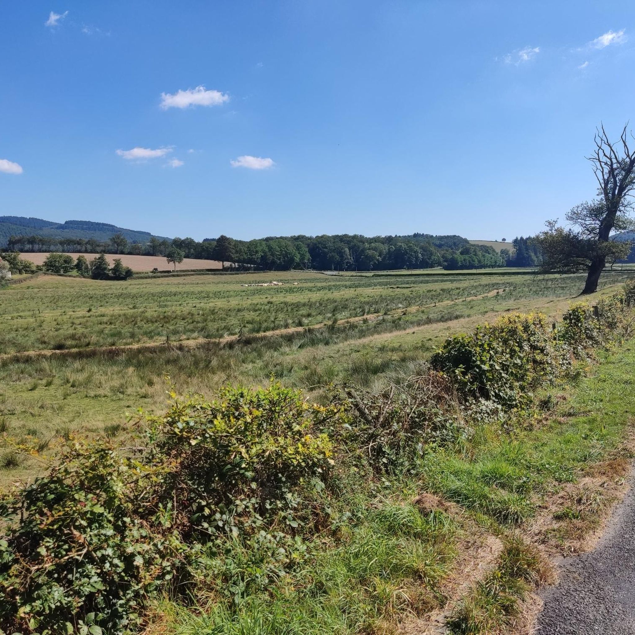
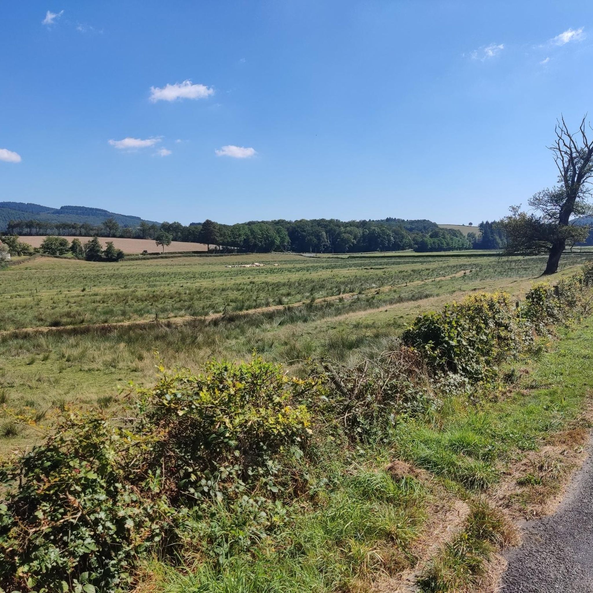
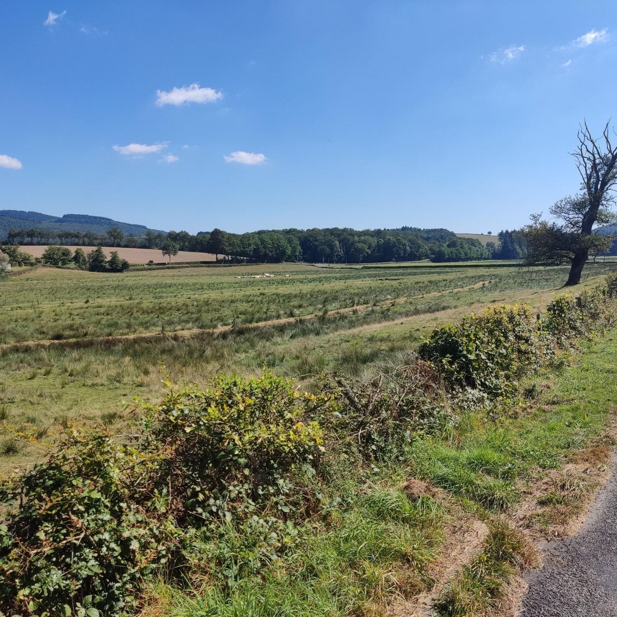
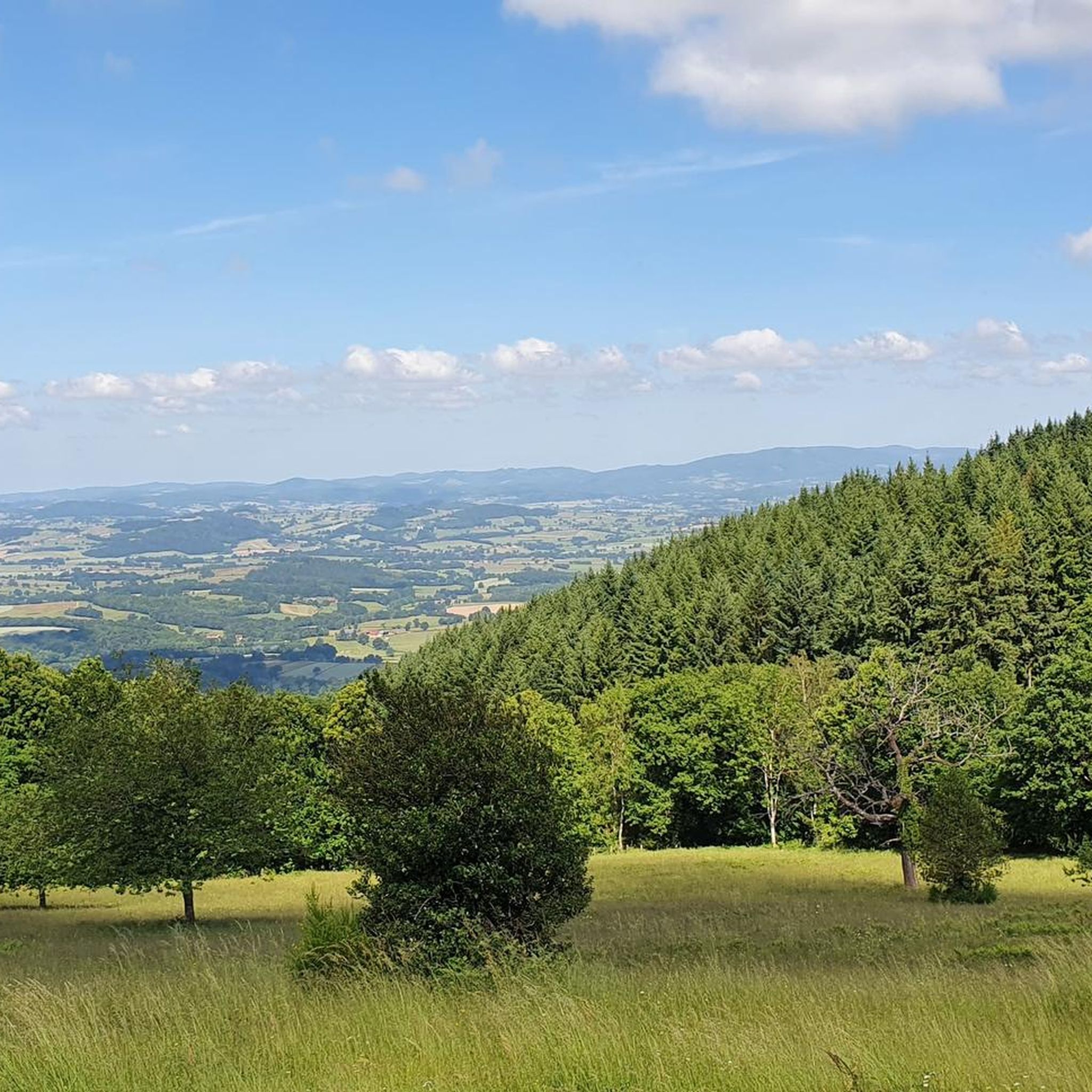
Tips from the Community

Here is the route for the ascent of Mont Beuvray from the Col du Rebout, a one-way road, only possible in this direction.
1
0

Located at 668 meters in the Nièvre department, the commune of Glux-en-Glenne is the highest in Burgundy. It is home to the European archaeological center of Bibracte and is the site of the listed Mont-Préneley and Sources de l’Yonne.
0
0

This section is a beautiful rolling dirt track along the Arroux River. If you take the time to stop and observe, you can spot many species of birds that live here.
0
0

In the village you have a nice bakery, cafe, hotel-restaurant and a shop where you can buy products for pasta, among other things.
0
0
Also open on Sundays. Good quality. My favorite: pain suisse.
1
0
A beautiful forest cycle ride, winding through the remains of the Gaulish village of Bibracte! The goal after the Col du Rebout is a one-way loop that descends to Saint-Léger-sous-Beuvray.
0
0

Combine your visit with a walk through the forest and experience the fabulous views and the fantastic forest.
0
0

Excavation site of ancient large Roman city across the entire mountain plateau
0
0
Frequently Asked Questions
What is the general difficulty level of gravel biking trails around La Tagnière?
Gravel biking around La Tagnière is primarily suited for experienced riders. The routes are characterized by significant elevation changes, demanding ascents, and descents through hilly terrain. All five available routes are rated as difficult.
Are there any beginner-friendly gravel bike trails in La Tagnière?
Currently, all gravel bike routes listed around La Tagnière are rated as difficult, featuring substantial climbing and varied terrain. There are no beginner-friendly options available in this specific guide.
What are some of the longer gravel bike routes in the La Tagnière area?
For those seeking longer rides, the Rebout Pass – Mont Beuvray loop from Brion-Laizy covers 107.8 km with nearly 2400 meters of elevation gain. Another extensive option is the Saint-Léger-sous-Beuvray – Aizy Pond loop from Saint-Didier-sur-Arroux, which is 96.8 km long.
Are there any shorter gravel bike loops for a quicker ride?
Yes, for a shorter but still challenging ride, consider the La Croix Messire Jean Inn – The Falling Rock loop from Dettey. This route is 23.8 km long and typically takes about 2 hours to complete, featuring over 550 meters of elevation gain.
What kind of natural environments can I expect to see on these gravel bike trails?
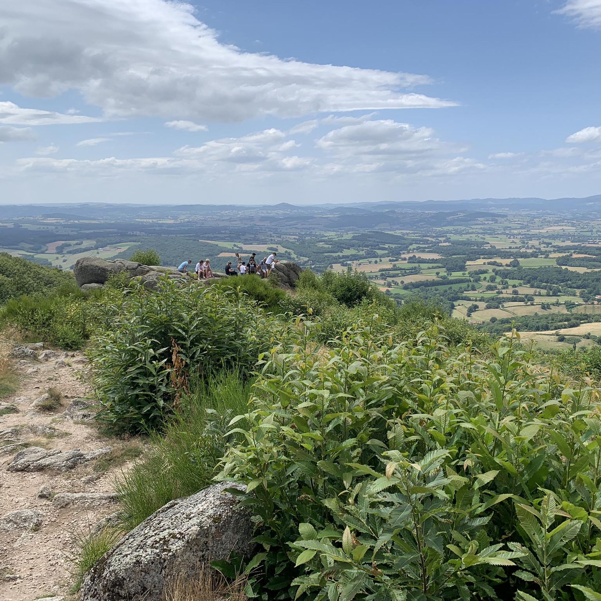
The routes explore a diverse natural setting, including both open and forested areas. You'll encounter varied landscapes with views towards notable features like Mont Beuvray and Autun, as well as passes and ponds.
What are some scenic viewpoints or natural attractions along the gravel bike routes?
Many routes offer scenic views. You can find viewpoints like Signal d'Uchon – Rochers du Carnaval and View of the Morvan from the Balcony of the Morvan. Natural monuments such as The Falling Rock and various ponds like Priory Ponds are also accessible.
What is the best season for gravel biking in La Tagnière?
While gravel biking is enjoyable in many seasons, the varied terrain and potential for significant elevation changes mean that spring and autumn often offer pleasant temperatures and beautiful scenery. Always check local weather conditions, especially for rain which can affect trail surfaces.
What do other gravel bikers say about the trails in La Tagnière?
The gravel biking routes in La Tagnière are highly rated by the komoot community, with an average score of 5.0 stars from over 3 reviews. Riders often praise the challenging ascents, varied natural environments, and the exploration of both open and forested areas.
Are there any family-friendly gravel biking options in the area?
Given that all routes in this guide are rated as difficult with substantial elevation changes, they are generally not considered family-friendly, especially for younger children or those new to gravel biking. These trails are best suited for experienced riders.
Where can I find parking or good starting points for gravel biking near La Tagnière?
Routes often start from nearby villages or specific points. For example, you can begin the Rebout Pass – Mont Beuvray loop from Brion-Laizy, or the Saint-Léger-sous-Beuvray – Aizy Pond loop from Saint-Didier-sur-Arroux. Parking availability will vary by starting point, typically found in village centers.
Are there any cafes or facilities near the gravel bike trails?
While specific cafes directly on the trails are not listed, routes often pass through or near villages. For example, the La Croix Messire Jean Inn – The Falling Rock loop starts near an inn. You might also find facilities like Camping des 2 Rives in the broader area.
What are the elevation gains like on the gravel bike trails around La Tagnière?
The gravel bike trails in La Tagnière feature significant elevation gains, reflecting the hilly terrain. For instance, the Rebout Pass – Mont Beuvray loop has over 2398 meters of ascent, and even shorter routes like the La Croix Messire Jean Inn – The Falling Rock loop include over 550 meters of climbing.
Most popular routes around La Tagnière
Most popular attractions around La Tagnière

Get inspired with the komoot mobile app


Explore more
Browse the best Gravel rides in other regions.
