The best MTB trails around La Tagnière
4.4
(56)
359
riders
69
rides
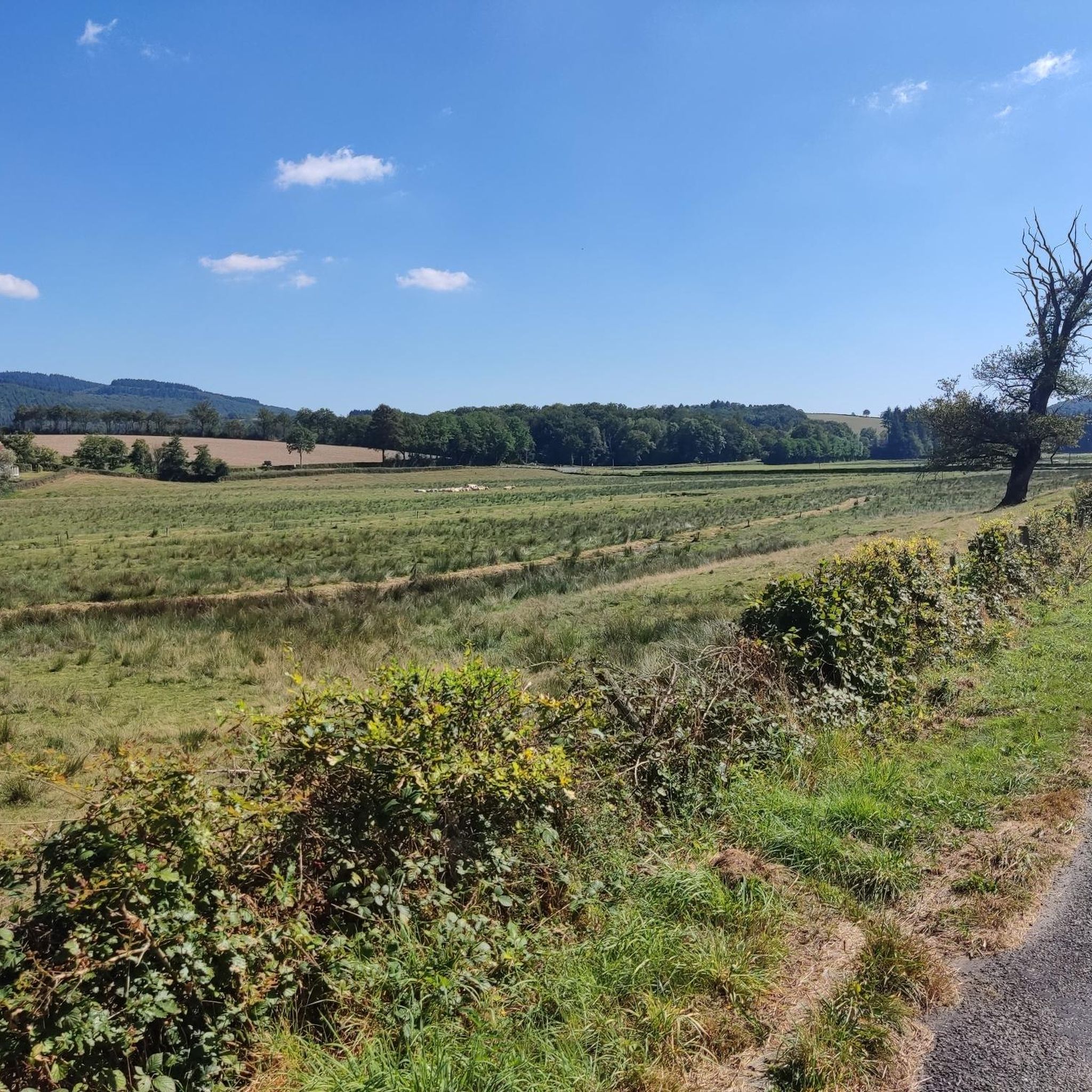
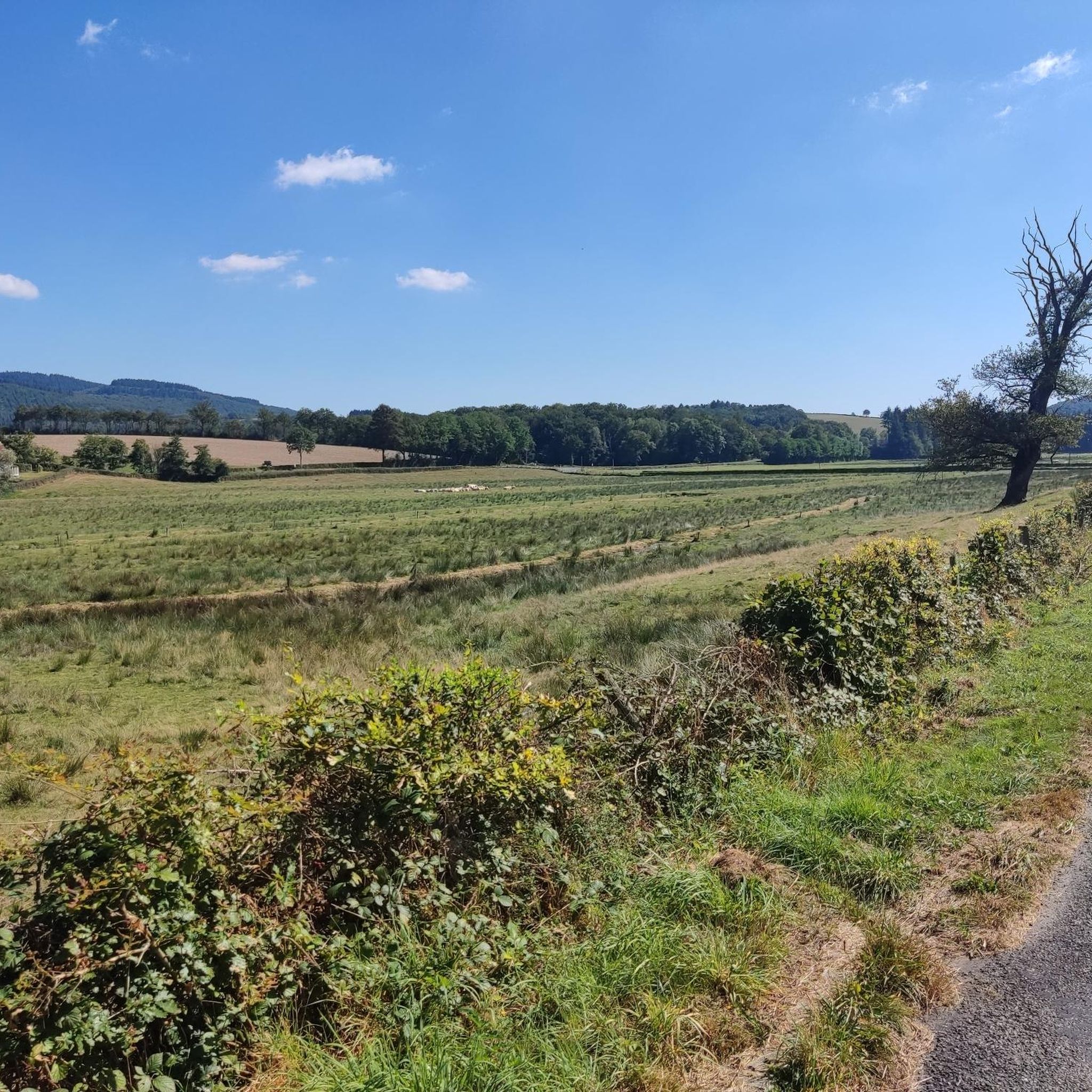
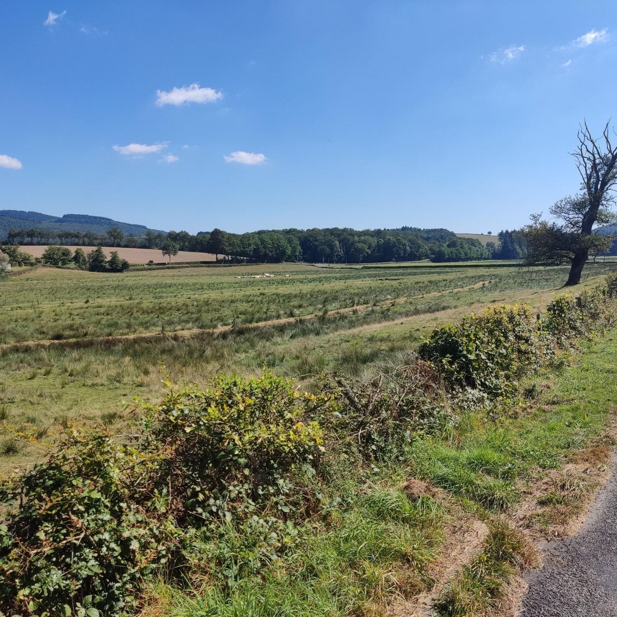
Mountain biking around La Tagnière offers diverse terrain within the Morvan Regional Natural Park, characterized by granite soil, extensive forests, and numerous valleys. The region features rolling hills, including the Uchon massif and Dettey hill, providing varied elevation changes for mountain bike trails. Natural highlights like the Signal d'Uchon, known for its unique granite formations, are integrated into many routes. This landscape composition ensures a mix of technical challenges and scenic rides through a green setting.
Best mountain bike trails…
Last updated: October 7, 2026
4.0
(2)
12
riders
22.1km
02:00
480m
480m
Moderate mountain bike ride. Good fitness required. Suitable for all skill levels.
6
riders
38.6km
03:14
770m
770m
Moderate mountain bike ride. Good fitness required. Suitable for all skill levels.

4.0
(1)
6
riders
40.9km
03:56
1,080m
1,080m
Hard mountain bike ride. Very good fitness required. Suitable for all skill levels.
5.0
(1)
8
riders
27.4km
02:31
720m
720m
Moderate mountain bike ride. Good fitness required. Suitable for all skill levels.
4
riders
24.8km
02:33
700m
700m
Moderate mountain bike ride. Good fitness required. Suitable for all skill levels.
Get access to more routes and recommendations from other explorers.
Already have an account?
Our route recommendations are based on thousands of hikes, rides, and runs completed by other people on komoot.
Start today with a free account
Your next adventure awaits.

Tips from the Community

The loop can be started as desired. Elevation gain, forests and viewpoints. A good restaurant near the D'Uchon signal
0
0

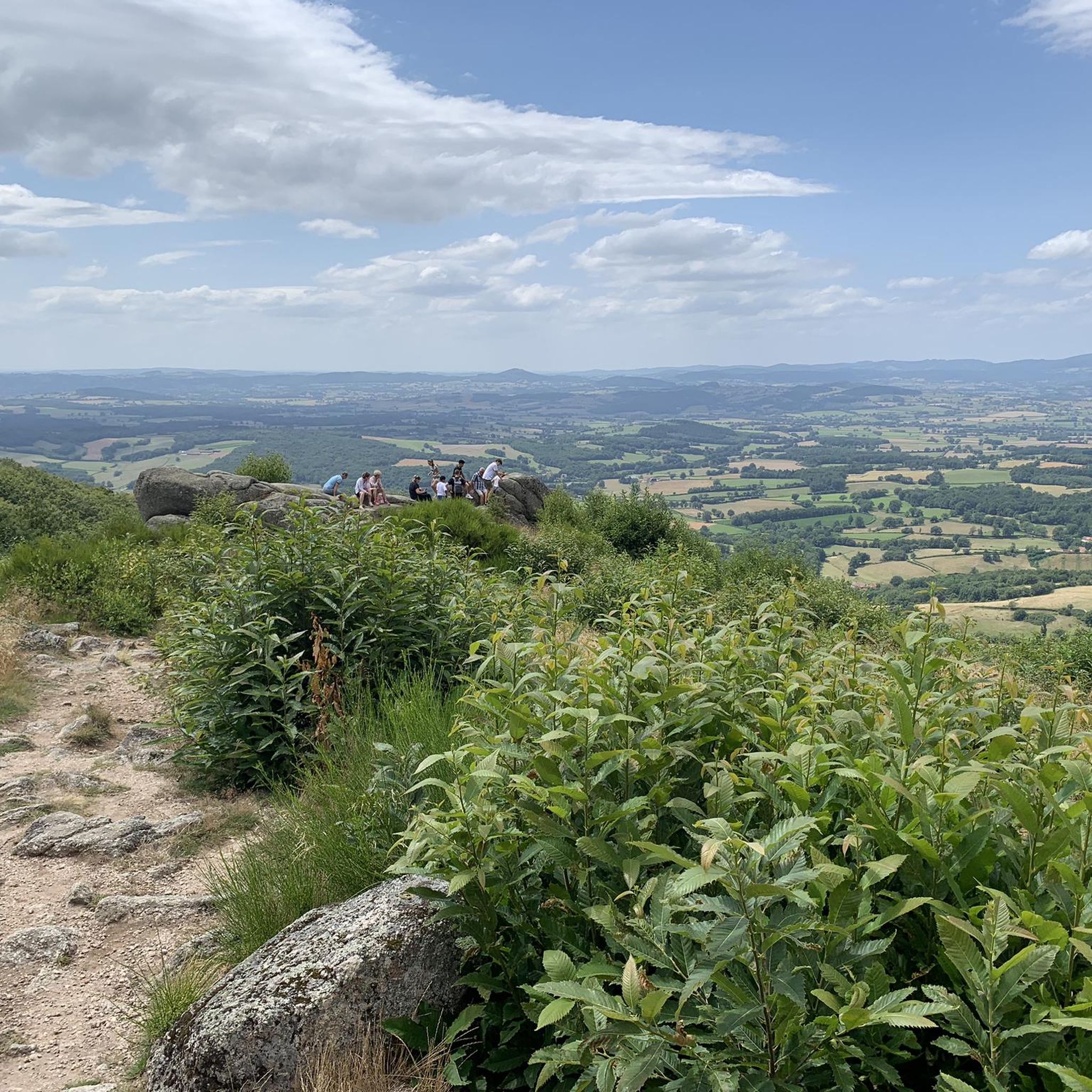
The highest point of Saône et Loire. See the panorama over the Morvan on one side and the plains of Charolais on the other.
0
0

Nice climb, tough from Mesvres
0
0

A small, well-hidden lake nestled in its greenery. Set foot on land and find a quiet spot by the water for your lunch break or a nap. The place is peaceful and incredibly beneficial.
0
0

a very beautiful view.
0
0
very friendly, very good establishment, I recommend.
0
0

This Himalayan-style Buddhist temple is splendid. It was founded by a Tibetan lama in 1974 and worship is still held there. The first floor gallery can be explored on a self-guided or guided tour, to be done without doubt.
2
0

Small pass at an altitude of 676m with a clear summit, offering a beautiful view of the countryside and the surrounding area.
0
0
Frequently Asked Questions
How many mountain bike trails are available around La Tagnière?
La Tagnière offers a wide selection of mountain bike trails, with over 50 routes available on komoot. These trails cater to various skill levels, from easy paths to challenging multi-hour tours.
What kind of terrain can I expect when mountain biking in La Tagnière?
Mountain biking in La Tagnière is characterized by its diverse terrain within the picturesque Morvan Regional Natural Park. You'll encounter granite soil, which is less prone to stickiness, extensive forests, and numerous valleys. The region features rolling hills, including the Uchon massif and Dettey hill, providing varied elevation changes and a mix of technical challenges and scenic rides.
Are there mountain bike trails suitable for beginners or families in La Tagnière?
Yes, La Tagnière offers a good selection of easier trails. There are 5 easy routes and 41 moderate routes available, providing options for those looking for less strenuous rides or family-friendly excursions. These trails often lead through forests and offer gentle climbs.
What are some challenging mountain bike routes for experienced riders in La Tagnière?
For experienced riders seeking a challenge, La Tagnière has 13 difficult routes. A particularly demanding option is the Saint-Léger-sous-Beuvray – Toulon-sur-Arroux loop from Étang, a 62.7-mile (101.0 km) trail with over 1,400 meters of elevation gain, which includes sections of the renowned Grande Traversée du Massif Central (GTMC).
Are there any circular mountain bike routes around La Tagnière?
Many of the mountain bike routes around La Tagnière are designed as loops, allowing you to start and finish in the same location. For example, the Signal d'Uchon – L'Étang Vaudrillart loop from Étang is a moderate 28.4-mile (45.8 km) circular path that explores the area around Signal d'Uchon.
What natural features or landmarks can I see along the mountain bike trails?
The trails around La Tagnière offer access to several striking natural features. You can explore the unique granite formations at Les Rochers d'Uchon and the Signal d'Uchon – Rochers du Carnaval. Another natural curiosity, The Falling Rock, can be discovered along trails leading towards Uchon, offering views of the Arroux valley. The region is also rich in picturesque lakes like Vauvillard Pond and Priory Ponds.
What do other mountain bikers say about the trails in La Tagnière?
The mountain bike trails in La Tagnière are highly rated by the komoot community, with an average score of 4.3 stars from over 40 reviews. Nearly 300 mountain bikers have used komoot to explore the varied terrain, often praising the scenic beauty, the granite terrain that offers good grip, and the diverse range of routes suitable for different abilities.
Is La Tagnière part of any larger, well-known mountain biking routes?
Yes, La Tagnière is strategically located on a variant of the Grande Traversée du Massif Central (GTMC), a renowned mountain biking route spanning nearly 1,400 km across France. A specific GTMC variant connects Autun and La Tagnière, offering a sporty route through the beautiful landscapes of the Autunois-Morvan region. The Morvan section of the GTMC features over 2,400 km of marked trails.
What is the best time of year to go mountain biking in La Tagnière?
The Morvan Regional Natural Park, where La Tagnière is located, is generally enjoyable for mountain biking from spring through autumn. The granite soil ensures trails don't become overly sticky, making it suitable even after some rain. Summer offers warmer weather, while spring and autumn provide pleasant temperatures and vibrant foliage.
Are there any specific viewpoints or scenic spots accessible by mountain bike?
Absolutely. The Signal d'Uchon, known as the 'Pearl of the Morvan,' offers impressive scenery and is a key highlight on several routes, such as the Étang Neuf – Signal d'Uchon loop from Uchon. You can also find stunning vistas like the View of the Morvan from the Balcony of the Morvan, providing panoramic views of the region's diverse landscapes.
Can I find routes that combine mountain biking with other attractions?
Many routes in the La Tagnière area pass by or are close to interesting attractions. For instance, the region is dotted with historical châteaux like Trélague and Champignolle. The nearby Gallo-Roman city of Autun, with its magnificent cathedral and Roman ruins, is also a significant cultural point of interest often connected to GTMC routes.
Most popular routes around La Tagnière
Most popular attractions around La Tagnière

Get inspired with the komoot mobile app


Explore more
Browse the best MTB trails in other regions.
