Top 5 Gorges in La Caldera De Taburiente
Best canyons in La Caldera De Taburiente are found within a colossal erosion crater on La Palma island. This national park is characterized by dramatic landscapes, deep ravines, and abundant watercourses. The intricate network of barrancos, or canyons, forms the main natural outlet for surface waters flowing towards the Atlantic Ocean. These geological formations offer insights into the island's volcanic past and support diverse flora and fauna, making them popular trails in La Caldera De Taburiente.
Best canyons in La…
Last updated: June 30, 2026
Colorful Waterfall
Highlight • Waterfall
Translated by Google •
Tip by

Small waterfall in Caldera de Taburiente National Park
Highlight • Waterfall
Translated by Google •
Tip by

Sign up now to discover places like this
Get recommendations on the best single tracks, peaks, & plenty of other exciting outdoor places.
Sign up for free
Barranco de Risco Liso
Highlight • Gorge
Translated by Google •
Tip by

Deep Ravine
Highlight (Segment) • Gorge
Translated by Google •
Tip by

Morro de la Crespa
Highlight • Viewpoint
Translated by Google •
Tip by

Start today with a free account
Your next adventure awaits.
Login or Signup
Popular around La Caldera De Taburiente
GR 131 El Bastón – La Palma in all its splendour
Transvulcania - traverse la Palma in the Canary Islands on the GR 131
Hiking in La Caldera De Taburiente
Running Trails in La Caldera De Taburiente
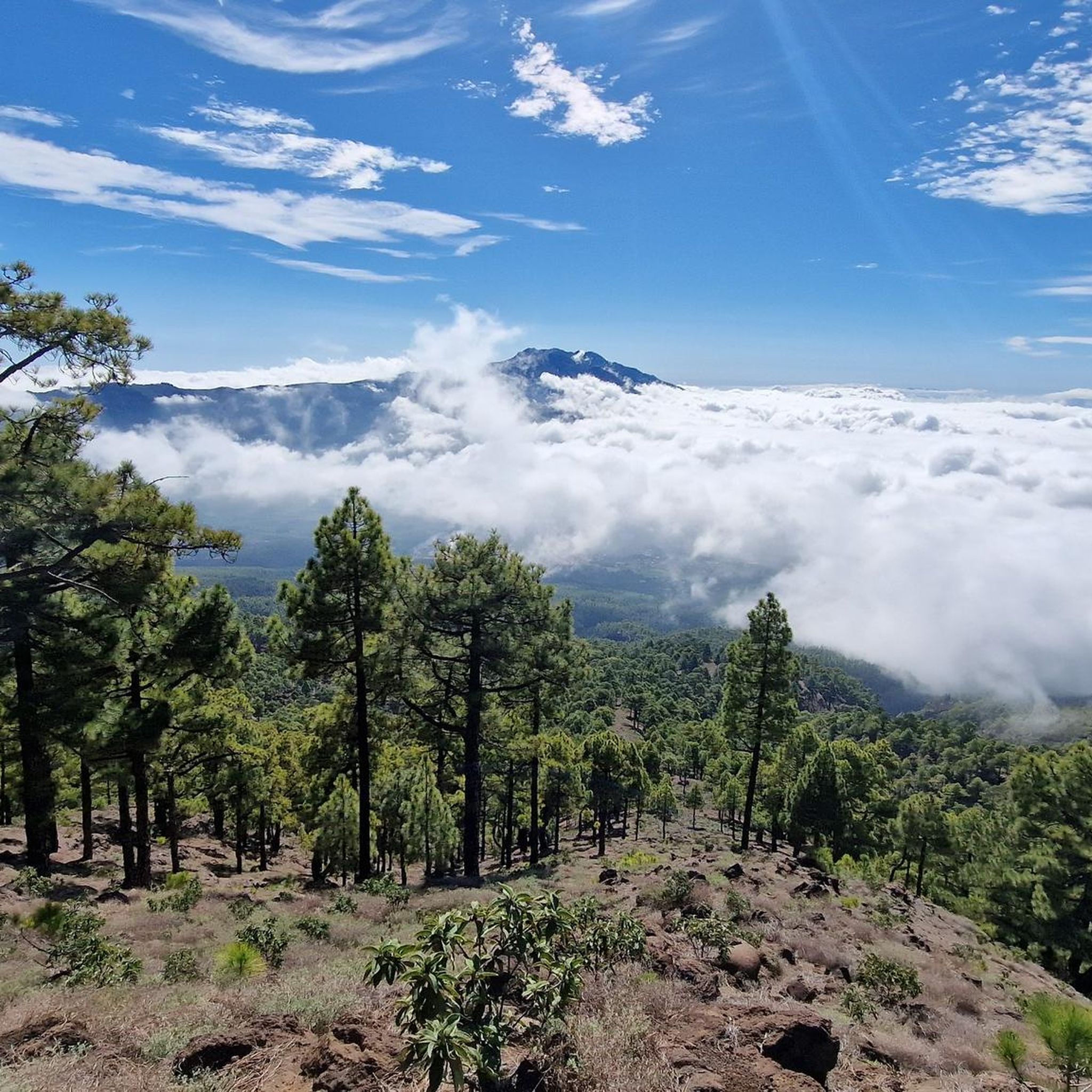
MTB Trails in La Caldera De Taburiente
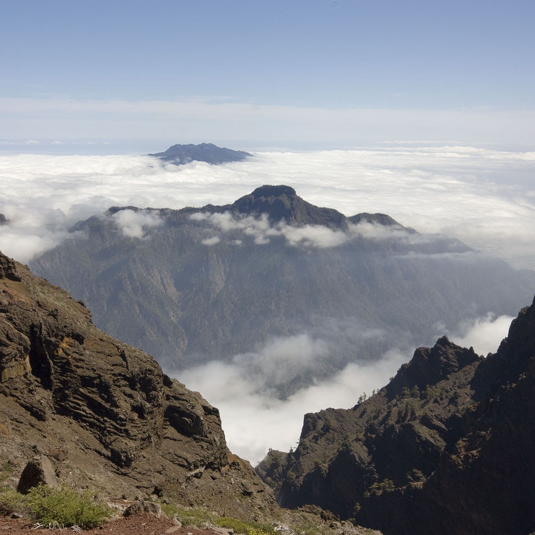
Cycling in La Caldera De Taburiente
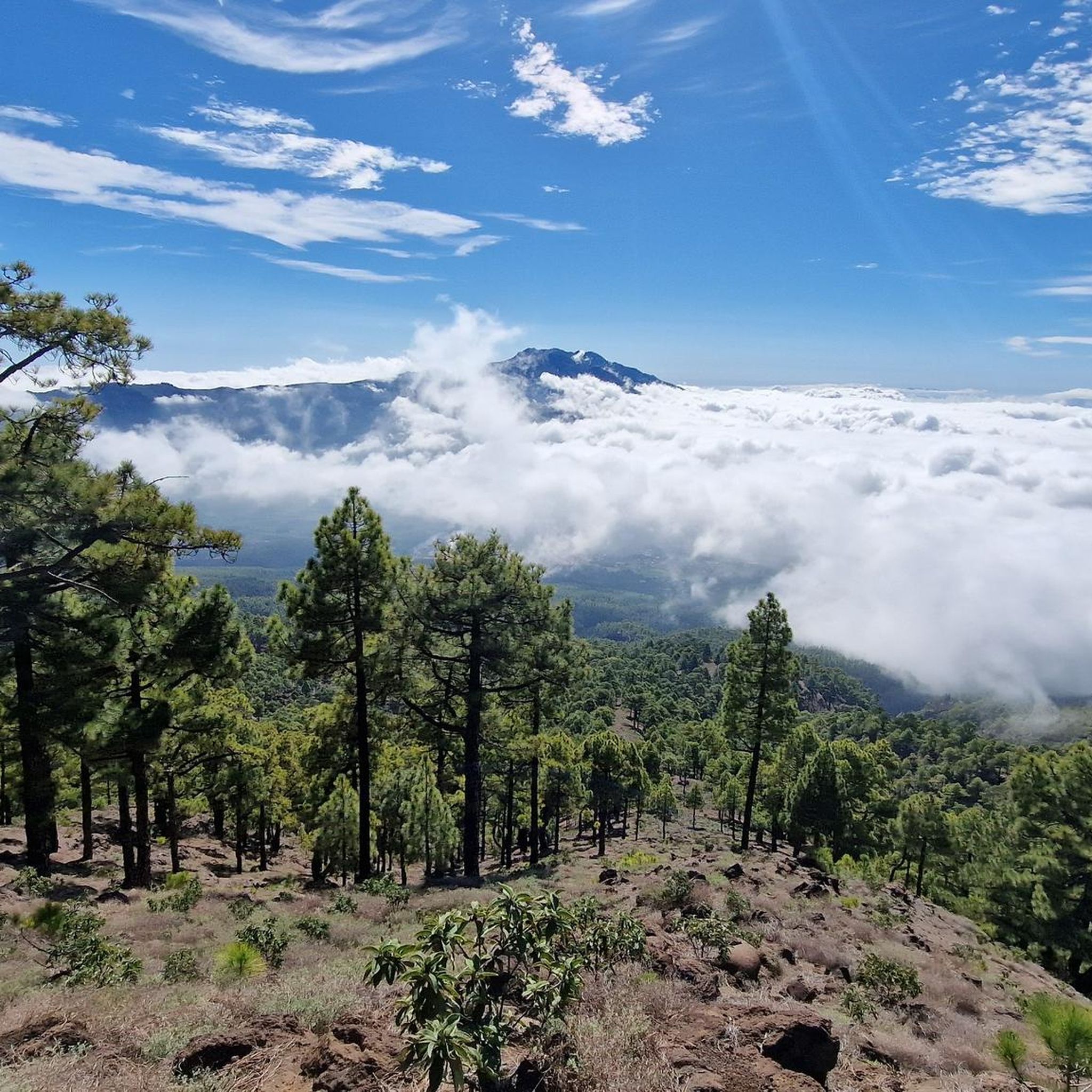
Road Cycling Routes in La Caldera De Taburiente

Mountain Hikes in La Caldera De Taburiente


Tips from the Community

A lovely little side road next to the Cascada de Colores.
0
0

In any case, one should look at the different rock colors here.
0
0

La Palma is a great place to visit, and this itinerary is fantastic (including the "other" waterfall suggested by SiMone above). But the Cascada de Los Colores is a tourist trap. Actually: - It is not colored. - it is not natural, but a small, insignificant artificial dam - Looks 30 m high, but is actually only 3.5 m. - There is little water most of the year. That doesn't mean it's not worth the hike! It is just good to go there and come back and enjoy the beautiful trip. But do not expect to see such a magical natural phenomenon. WARNING: in some sections, the route moves away from the bottom of the barranco to avoid dangerous areas due to the possibility of rockfall and sudden flooding. Be extremely careful in these sections, especially if the weather has been bad or if you notice bad weather upstream. Finally, there is a section overhung by a large traverse rock that is difficult to pass, especially uphill. Better to transit by the suggested route, especially if there is a lot of water.
1
0

The actual waterfall currently (June) has little water. We discovered a good alternative. Shortly before the destination at the fork to the Cascada, we followed the left stream path and then found this wonderful place 😊. It did involve a bit of climbing, but it wasn't difficult.
1
0

Beautiful hike in the riverbed
0
0

Waterfall for swimming
0
0

On the northern flank we see very impressive iron-rich rock layers.
2
0

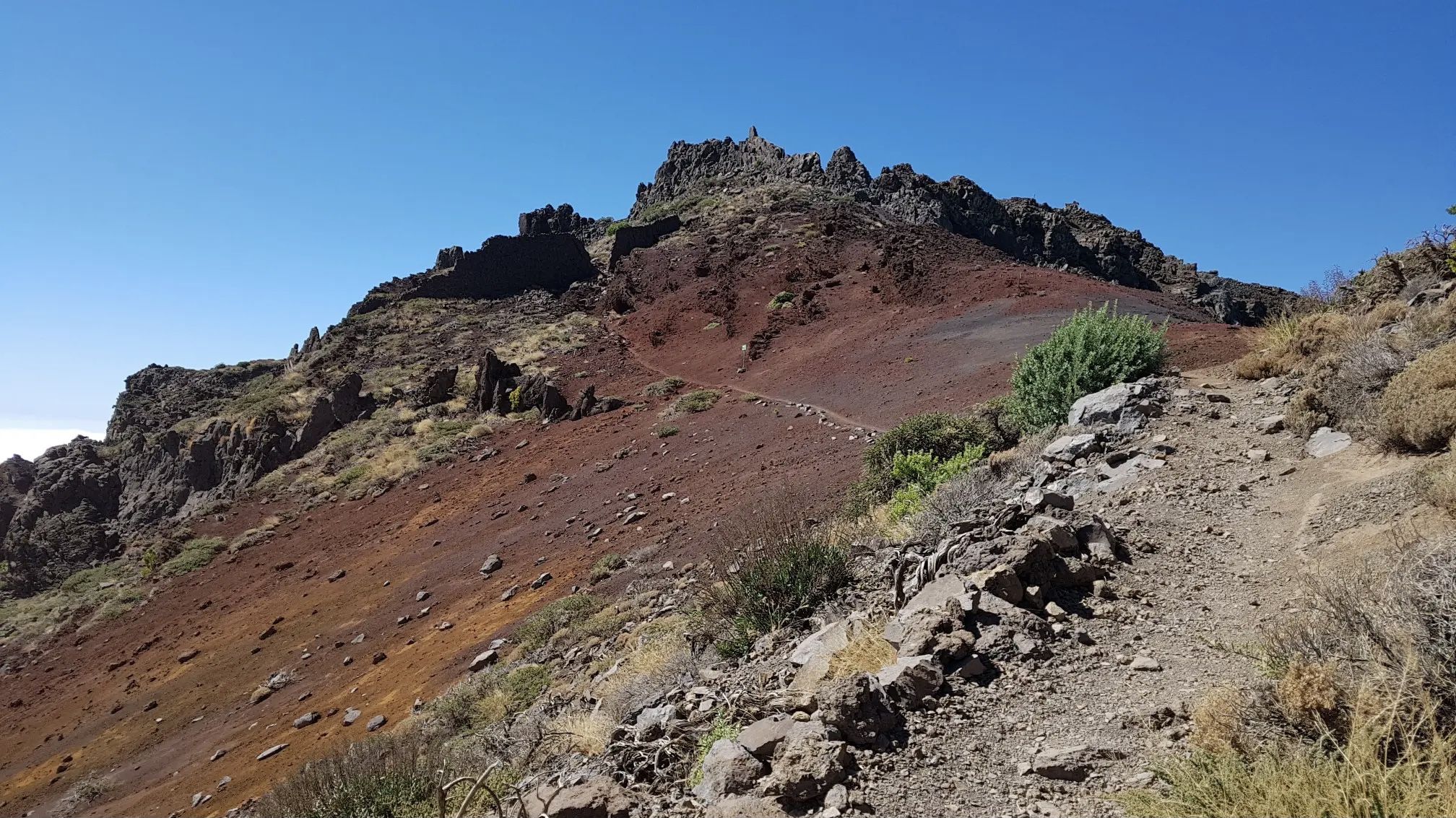
Going down the GR 131 towards Time, about 500 m from Roque de los Muchachos you will find the Morro de la Crespa Ravine. Excellent views of the Caldera de Taburiente, the bad thing is the section on stones with constant ups and downs of the bike.
2
0
Frequently Asked Questions
What natural features can I expect to see in the canyons of La Caldera de Taburiente?
The canyons in La Caldera de Taburiente, such as the Descent into Barranco de las Angustias, are characterized by dramatic landscapes, deep ravines, and abundant watercourses. You'll encounter impressive iron-rich rock layers, volcanic formations like 'pillow lavas' visible in riverbeds, and diverse vegetation ranging from pine forests to rocky sections. A notable highlight is the Colorful Waterfall, known for its vibrant hues.
What makes the Barranco de las Angustias a significant canyon to visit?
The Descent into Barranco de las Angustias is the principal canyon of La Caldera de Taburiente and is often considered the gateway into the heart of the national park. It connects the over 1000-meter-high Caldera de Taburiente with the Atlantic Ocean. Hiking through it offers stunning natural beauty, varied vegetation, and a chance to witness the powerful forces of erosion that shaped the caldera, with a trail that almost always carries water.
Is there a unique waterfall to visit within the canyons?
Yes, the Colorful Waterfall (Cascada de Colores) is a unique and famous semi-natural waterfall located within the Barranco de las Angustias. It's known for its vibrant, multicolored appearance, with hues of orange, green, and reddish tones resulting from iron-rich waters flowing over its walls. It's an iconic and picturesque natural wonder.
What kind of hiking trails are available through the canyons?
La Caldera de Taburiente offers a variety of hiking trails through its canyons. Popular options include the Descent into Barranco de las Angustias, which can be challenging. Many trails follow riverbeds, offering immersive experiences amidst the caldera's dramatic geological formations. For more hiking options, you can explore the Hiking in La Caldera De Taburiente guide.
What is the difficulty level for hiking in the canyons of La Caldera de Taburiente?
Hiking in the canyons of La Caldera de Taburiente can range from moderate to difficult. For example, the Barranco de las Angustias trail is considered challenging. Some paths can be narrow and close to the edge of ravines, and involve walking through water. It's advisable to be prepared for varied terrain and potential elevation changes.
Are the canyons suitable for families?
While some sections of the canyons can be challenging, certain parts of the trails, especially those leading to accessible natural features like the Colorful Waterfall, can be enjoyed by families. Always check specific route details and difficulty ratings before embarking on a hike with children. The interior of the Caldera around the riverbed of the Taburiente offers cool, clear waters for a refreshing break.
What is the best time to visit the canyons in La Caldera de Taburiente?
The canyons can be visited year-round, but conditions vary. Water levels in the barrancos are generally lower during drier seasons, making some riverbed hikes easier. However, the presence of water is a key feature of many trails. Always check the weather forecast, especially for upstream conditions, as sudden flooding can occur.
Do I need a permit to visit La Caldera de Taburiente National Park?
Access to La Caldera de Taburiente National Park generally requires a permit for certain areas or activities, especially if you plan to stay overnight at the camping zone. For specific information regarding permits and regulations, it's recommended to consult the official park authorities or the local tourism board, such as visitlapalma.es.
What other outdoor activities can I do near these canyons?
Beyond exploring the canyons, La Caldera de Taburiente offers a range of outdoor activities. You can find numerous hiking opportunities, including waterfall hikes and mountain hikes. For more detailed routes and options, refer to the Waterfall hikes in La Caldera De Taburiente guide and the Mountain Hikes in La Caldera De Taburiente guide.
What should I wear or bring when exploring the canyons?
When exploring the canyons, especially if you plan to hike through riverbeds or engage in canyoning, it's important to wear appropriate footwear that can handle wet and rocky terrain. Bringing plenty of drinks, snacks, and swimwear is advisable, as the cool, clear waters offer refreshing bathing opportunities. A towel is also recommended. Be prepared for varying weather conditions and potential rockfall.
What do visitors enjoy most about the canyons in La Caldera de Taburiente?
Visitors frequently praise the stunning natural beauty and the immersive experience of hiking through the canyons. The vibrant colors of the Colorful Waterfall are a highlight, and many appreciate the chance to bathe in the refreshing waters of the barrancos. The dramatic landscapes and the unique geological formations, such as the iron-rich rock layers in Deep Ravine, also receive high acclaim.
Where can I see impressive iron-rich rock layers in the canyons?
You can observe impressive iron-rich rock layers in the Deep Ravine. This natural monument offers viewpoints specifically designed to showcase the different rock colors and geological formations, providing a glimpse into the island's volcanic past.
Most popular routes in La Caldera De Taburiente
Most popular attractions in La Caldera De Taburiente

Get inspired with the komoot mobile app


Explore more
Already discovered everything in this region? See additional gorges in La Caldera De Taburiente for your next adventure:
