The best gravel rides around Belvís De Monroy
12
riders
6
rides
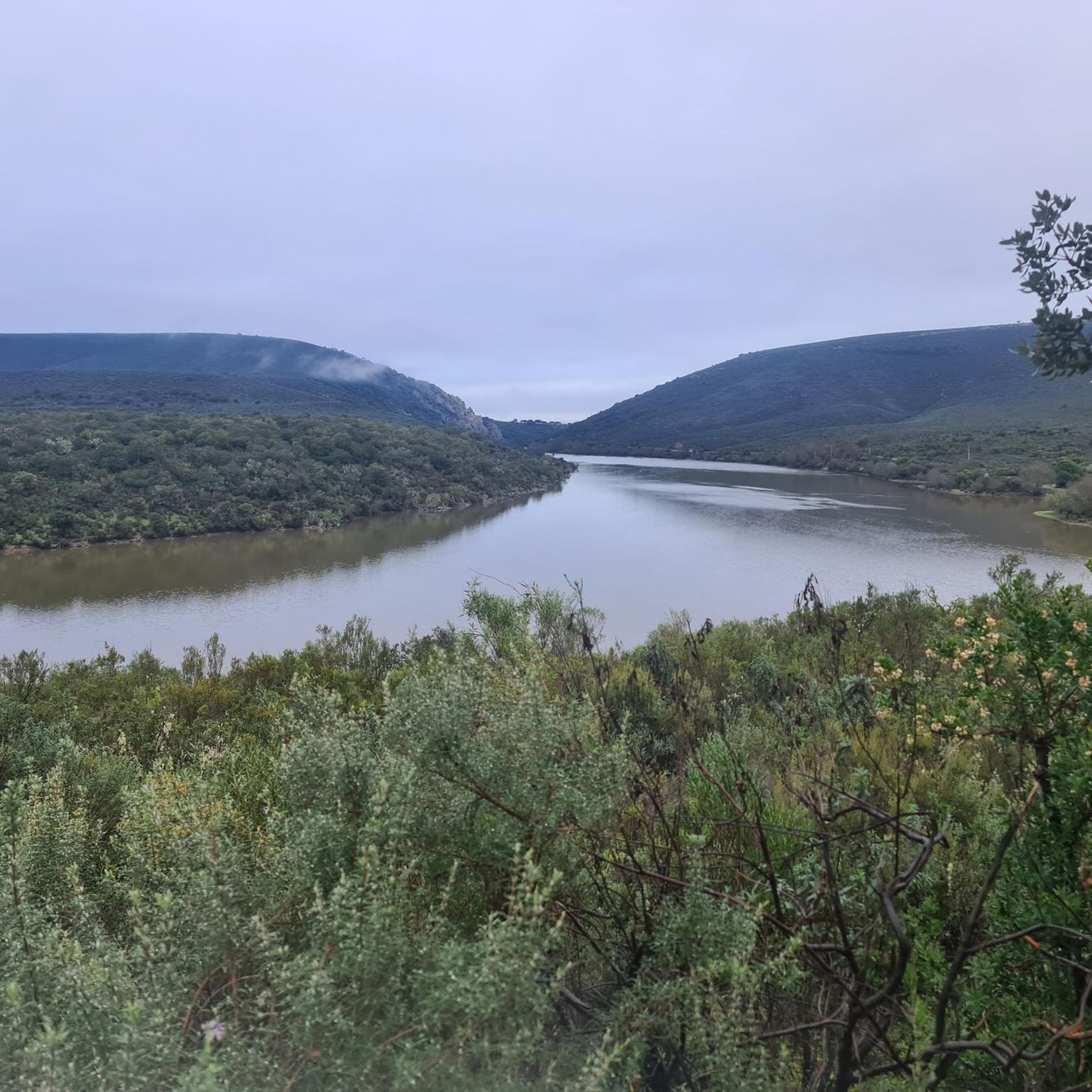
Gravel biking around Belvís De Monroy offers diverse terrain across the Campo Arañuelo region of Cáceres, Extremadura. The area features expansive dehesas and cork oak forests, providing numerous unpaved tracks and shaded paths. Riders encounter rolling steppes and varied topography, including areas near the Tagus River and the Valdecañas and Arrocampo reservoirs. This landscape accommodates a range of cycling abilities, from gentle ascents to more demanding climbs.
Best gravel bike trails around Belvís De Monroy
- The most popular gravel bike trail is Ermita de San Blas, Toril – Castle of Belvís de Monroy loop from Pórtico de Curia de Talavera la Vieja, a 58.8 miles (94.7 km) trail that takes 6 hours 38 minutes to complete. This difficult route features significant elevation gain and passes by historical sites.
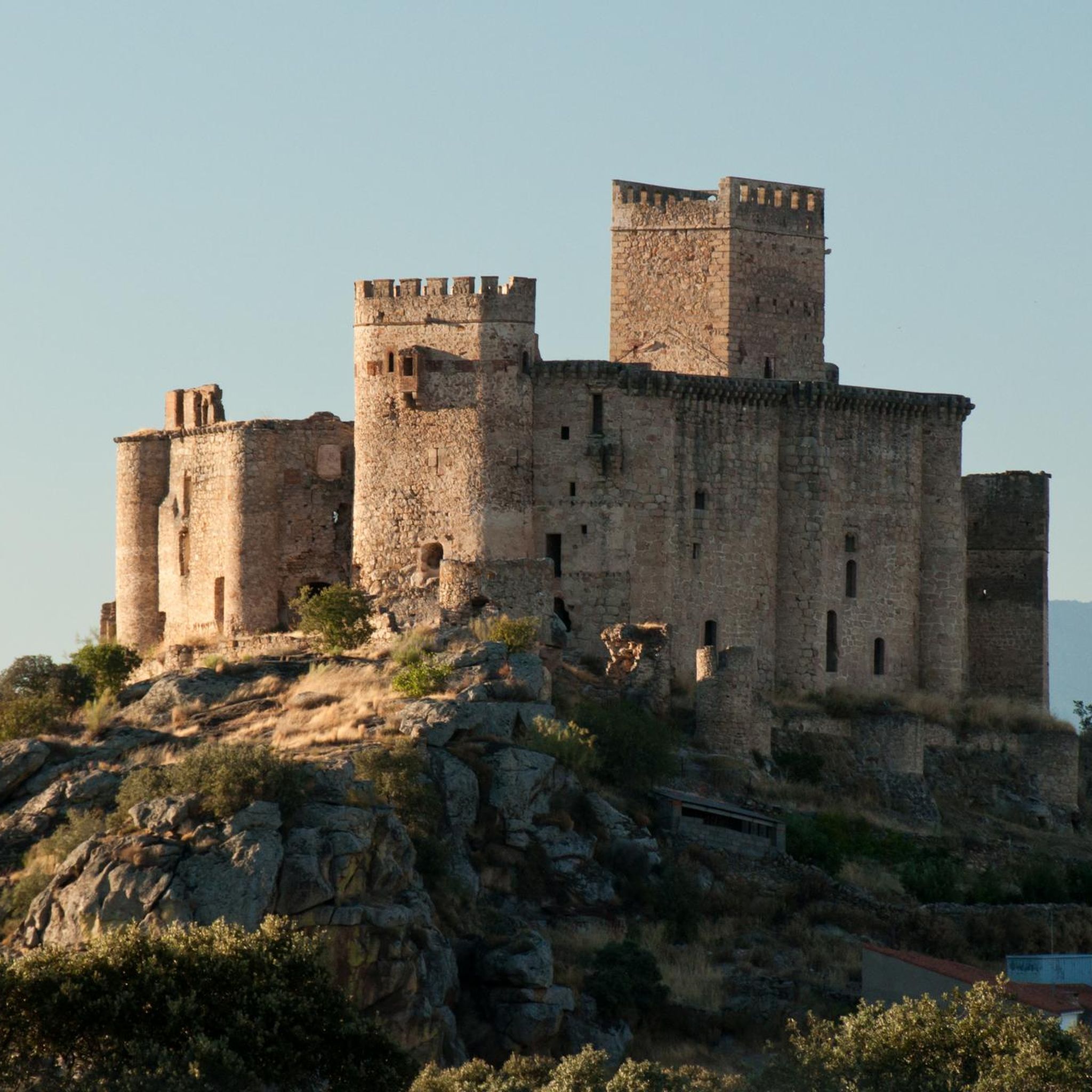
- Another top favourite among local gravel bikers is Castillo de Monroy – Castle of Belvís de Monroy loop from Bohonal de Ibor, a difficult 50.2 miles (80.8 km) path. This route offers challenging climbs and panoramic views of the Extremaduran landscape.
- Local gravel bikers also love the Gravel loop from Laguna de Casasola, a 29.9 miles (48.2 km) trail leading through varied terrain with moderate elevation, often completed in about 3 hours 28 minutes.
- Gravel biking around Belvís De Monroy is defined by dehesas, cork oak forests, and routes along the Tagus River and reservoirs. The network offers options for different ability levels, from moderate to difficult.
- The guide includes highly-rated routes that showcase the best of the region's landscape. More than 10 gravel bikers have used komoot to explore Belvís De Monroy's varied terrain.
Last updated: October 21, 2026
2
riders
32.7km
02:23
240m
240m
Moderate gravel ride. Good fitness required. Mostly paved surfaces. Suitable for all skill levels.
2
riders
43.6km
03:03
140m
140m
Moderate gravel ride. Good fitness required. Mostly paved surfaces. Suitable for all skill levels.

2
riders
48.2km
03:28
420m
420m
Moderate gravel ride. Good fitness required. Mostly paved surfaces. Suitable for all skill levels.
2
riders
Hard gravel ride. Very good fitness required. Mostly paved surfaces. Suitable for all skill levels.
2
riders
80.8km
05:38
1,010m
1,010m
Hard gravel ride. Very good fitness required. Mostly paved surfaces. Suitable for all skill levels.
Our route recommendations are based on thousands of hikes, rides, and runs completed by other people on komoot.
Start today with a free account
Your next adventure awaits.


Tips from the Community

You will automatically cycle past it 👍😎
0
0

On the slopes of the Monfragüe Biosphere Reserve, the small town of Serrejón is surrounded by native oak forests. The bell tower of the 15th-century San Ildefonso church can be seen rising above the city as you cycle towards it.
0
0
Located in the valley of the Tiétar River, the rural town of Talayuela in Casares is worth stopping by if you need to stop to rest during the trip. If you want to have a coffee or eat something, go to the Plaza Real.
0
0

Toril is a municipality in the province of Cáceres located very close to the Monfragüe National Park. Its landscape is characterized by the typical Extremaduran meadows of cork oaks and holm oaks. In the town, the church of San Blas stands out, a picturesque work from the 16th century.
1
0
The Picazo reservoir is in a pasture area a few kilometers from Serrejón. Together with the other ponds that are scattered near the path, it is an ideal place to stop and watch a great diversity of birds.
0
1

Both the views of the bridge over the river and the panoramic view you have of the Tagus when you cross it, from the siding, justify a stop on your route.
0
1
In Toril is the Interpretation Center of the Monfragüe Biosphere Reserve. The center is located inside the church of San Blas. It's a good place to rest on your drive and perhaps camp for the night if you're on a long drive.
2
0
Surrounded by oak forest plantations, the small town of Serrejón is located in the foothills of the Sierra de Serrejón, on the eastern edge of the Monfragüe National Park. If you are passing through the town, stop to see the town hall square or the village church.
1
0
Frequently Asked Questions
What kind of terrain can I expect on gravel bike trails around Belvís De Monroy?
The region offers a diverse mix of surfaces perfect for gravel biking. You'll find expansive dehesas and cork oak forests with numerous unpaved tracks, rolling steppes, and varied topography. Routes often follow the banks of the Tagus River and the Valdecañas and Arrocampo reservoirs, providing a mix of flat sections and more challenging climbs, especially near areas like the Sierra de Almaraz.
What are the difficulty levels of gravel bike routes in Belvís De Monroy?
Gravel bike routes around Belvís De Monroy cater to a range of abilities. You'll find routes with moderate difficulty, such as the Gravel loop from Piscina Municipal, which covers about 43 km with moderate elevation. For more experienced riders, there are difficult routes like the Castillo de Monroy – Castle of Belvís de Monroy loop from Bohonal de Ibor, featuring over 1000 meters of elevation gain over 80 km.
Are there any circular gravel bike routes available?
Yes, many of the gravel routes in the area are designed as loops. For example, you can explore the Gravel loop from Laguna de Casasola, which is a moderate 48 km ride, or the Arroyo del Tinozoso Grande loop from Navalmoral de la Mata, a 32 km moderate option.
What historical landmarks can I see along the gravel bike trails?
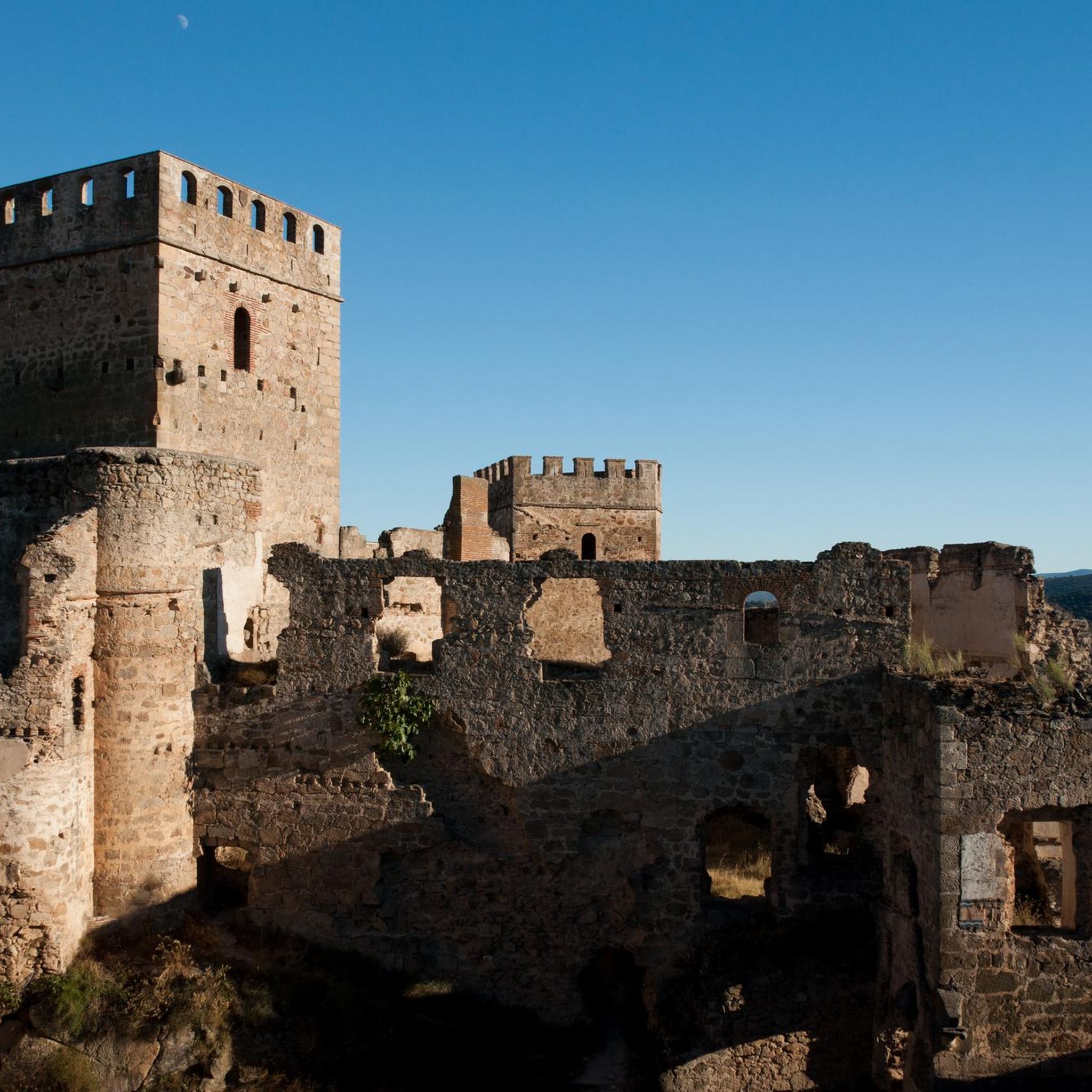
Belvís de Monroy is rich in history. Many routes offer views of or access to the impressive Castle of Belvís de Monroy. You might also encounter Roman ruins like the Temple of the Woodcutters of Augustobriga, the Granite Pillar of Almaraz, or the historic Almaraz Bridge over the Tagus River.
Are there any natural attractions or viewpoints along the routes?
Absolutely. The region is known for its 'beautiful views.' You'll find picturesque sections along the Tagus River and the Valdecañas and Arrocampo reservoirs. Specific viewpoints include the Views of the Valdecañas reservoir and the View of Valdecañas Reservoir Dam. The proximity to Monfragüe National Park also means routes often pass through areas of significant ecological beauty.
What is the best time of year for gravel biking in Belvís De Monroy?
The spring and autumn months are generally ideal for gravel biking in Extremadura. The temperatures are milder, and the landscapes are vibrant. Summers can be very hot, making early morning or late afternoon rides preferable, while winters are typically mild but can have occasional rain.
Are there any long-distance or challenging gravel routes for experienced riders?
Yes, for experienced riders seeking a challenge, routes like the Ermita de San Blas, Toril – Castle of Belvís de Monroy loop from Pórtico de Curia de Talavera la Vieja offer a demanding ride of nearly 95 km with over 780 meters of elevation gain. Another difficult option is the Castillo de Monroy – Castle of Belvís de Monroy loop from Bohonal de Ibor, which is 80 km long with over 1000 meters of climbing.
What kind of natural features define the gravel biking experience here?
The gravel biking experience in Belvís De Monroy is characterized by its expansive dehesas, which are unique Mediterranean woodlands with scattered cork oaks and holm oaks. You'll also ride through pine forests, alongside the Tagus River, and past large reservoirs like Valdecañas and Arrocampo, offering a blend of shaded paths and open, scenic stretches.
Where can I find parking for gravel bike trails near Belvís De Monroy?
Many routes start from towns or villages like Navalmoral de la Mata, Bohonal de Ibor, or directly from Belvís de Monroy itself, where you can typically find public parking areas. For instance, the Arroyo del Tinozoso Grande loop starts from Navalmoral de la Mata, which offers various parking options.
Are there any routes that pass by significant water bodies?
Yes, the region is dotted with impressive water features. Many gravel routes run close to or offer views of the Tagus River, the vast Arrocampo Reservoir, and the Valdecañas Reservoir. You can even find a trail along the shore of the Arrocampo reservoir, perfect for scenic riding.
Most popular routes around Belvís De Monroy
Most popular attractions around Belvís De Monroy

Get inspired with the komoot mobile app


Explore more
Browse the best Gravel rides in other regions.
