The best walks and hikes around Montureux-Lès-Baulay
4.3
(6)
41
hikers
6
hikes
Hiking trails around Montureux-Lès-Baulay traverse the tranquil Upper Saône valley, characterized by the Saône River and its navigation canals. The landscape includes expansive forests such as "Le Bois de Mont aux pies" and "Forêt de Conflans," alongside rolling hills, meadows, and former vineyards. Natural wetland reserves like Conflandey and Réserve naturelle des Grands Gabions contribute to the region's biodiversity.
Best hiking trails around Montureux-Lès-Baulay
- The most popular hiking route is View from Ormoy-Richecourt bridge loop from Corre, a 6.5…
Last updated: October 12, 2026
4.3
(3)
13
hikers
10.4km
02:44
90m
90m
Moderate hike. Good fitness required. Easily-accessible paths. Suitable for all skill levels.
4.3
(3)
13
hikers
10.5km
02:46
80m
80m
Moderate hike. Good fitness required. Easily-accessible paths. Suitable for all skill levels.

3
hikers
7.48km
02:02
110m
110m
Moderate hike. Good fitness required. Easily-accessible paths. Suitable for all skill levels.
7
hikers
8.87km
02:23
110m
110m
Moderate hike. Good fitness required. Easily-accessible paths. Suitable for all skill levels.
2
hikers
7.29km
01:52
20m
20m
Easy hike. Great for any fitness level. Easily-accessible paths. Suitable for all skill levels.
Our route recommendations are based on thousands of hikes, rides, and runs completed by other people on komoot.
Start today with a free account
Your next adventure awaits.



Tips from the Community

Fccrcfgc ggf r Chef C Chef Ccc CC x xxxxxx x cxxx x x XY XY XY x XY x XY x XY x x XY x x x yryywsgywyryyr SEyyyy x x yyyyy x x x x x x xyyyyy x y xyyyyyyyyyy xyyyyyyyyy xyyyyyyyyyyyyyyyyyyyyyyyyyyyyyyd crccrxrxrrr erweckt erxrxrcrxrxrxrxrxrxrfxr rede err er xrcrfcfcrrrcrrc dercrrcfccrrcrfcrcrcrcrfcrc chr xxxxxxxxxxxxyyyywyyyywyww wasywyxyyyyyyy XYyyyyyyytyyyyyxxxxyyryywy dayyy XY XY y XY was yyyyy XY XY yyy XYy XY XY y XYy XY XY XY XY x x XY x x x x x x x x x x x x x x x x c x x x x x x x x x x x x x XY x x x x x x x x cxxxxxxcxx XY x
0
0


... And it was in 1896 that the Jannel company, (foundry manufacturer) based in Martinvelle (Vosges) delivered a third bell to the town of Ormoy...
0
0
A magnificent natural corner of greenery and water that I never tire of for fishermen and cyclists alike... WHAT HAPPINESS!
4
1

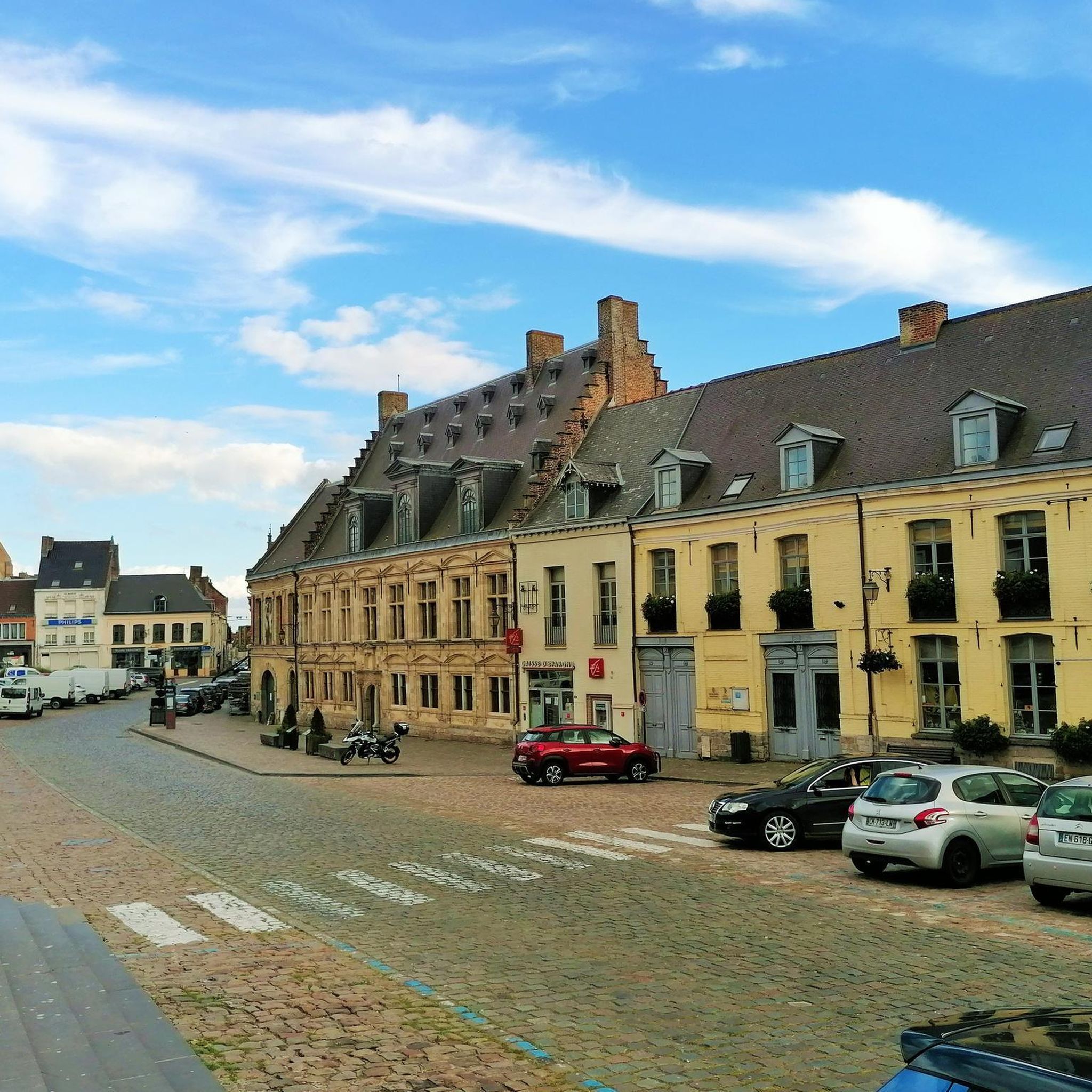
Church built in 1706 which was then rebuilt and enlarged over several periods until 1859. From a distance, you can see its beautiful roof made of glazed tiles of several colors.
1
0

This bridge marks the entry into the town of Ormoy. It spans the Saône and its canal. The bridge deck rests on three cut stone arches and was built in 1844. It offers a lovely view of the two rivers. We can clearly see the difference in level between the Saône and the canal. The boats only circulate on the canal which was also built with the aim of making the Saône navigable.
5
0


Frequently Asked Questions
How many hiking trails are available around Montureux-Lès-Baulay?
There are several hiking trails around Montureux-Lès-Baulay, with komoot listing 6 routes. These range from easy walks to more challenging moderate routes, offering diverse experiences through the region's landscapes.
What kind of terrain can I expect on hikes around Montureux-Lès-Baulay?
Hikes in Montureux-Lès-Baulay feature varied terrain, including tranquil Upper Saône valley paths, expansive forests like "Le Bois de Mont aux pies" and "Forêt de Conflans," and rolling landscapes with meadows and former vineyards. Many routes follow the Saône River and its navigation canals, offering waterside views.
Are there any circular hiking routes in the area?
Yes, Montureux-Lès-Baulay offers several circular hiking routes. For example, the View from Ormoy-Richecourt bridge loop from Corre is a moderate 10.5 km loop, and the Étang Puant loop from Polaincourt-et-Clairefontaine provides another moderate option.
What natural features or landmarks can I see while hiking?
You can discover various natural features and landmarks. The Saône River and its historic bridges are prominent, such as the View from Ormoy-Richecourt bridge. The region also boasts natural wetland reserves like Conflandey and Réserve naturelle des Grands Gabions, known for their biodiversity. You might also encounter charming villages and vestiges of the region's viticultural past along old vineyard paths.
Are there options for longer hikes in Montureux-Lès-Baulay?
Yes, for those seeking longer excursions, the Le Côney loop from Aisey-et-Richecourt is a moderate 17.8 km path that leads through varied woodlands and riverside sections. Another option is the Jussey loop from Jussey, which covers 11.3 km.
When is the best time of year to hike in Montureux-Lès-Baulay?
The region's diverse landscapes, including forests and riverside paths, are enjoyable throughout much of the year. Spring and autumn offer pleasant temperatures and vibrant scenery, while summer provides lush greenery. Always check local weather conditions before heading out.
Are dogs allowed on the hiking trails?
Many trails in natural areas generally welcome dogs, but it's always recommended to keep them on a leash, especially in forested areas or near wildlife reserves like Conflandey and Réserve naturelle des Grands Gabions, to protect local fauna and ensure a pleasant experience for all hikers.
Are there family-friendly hiking options?
Yes, the region offers trails suitable for families. The View from Ormoy-Richecourt bridge loop from Corre, at 10.5 km, is a moderate route that can be enjoyed by families looking for a scenic walk along the Saône River.
What do other hikers enjoy the most about hiking in Montureux-Lès-Baulay?
The komoot community highly rates the hiking experience in Montureux-Lès-Baulay, with an average score of 5.0 stars from over 3 reviews. Hikers often appreciate the tranquil river valleys, extensive woodlands, and rolling agricultural landscapes that define the area.
Is parking available at trailheads?
While specific parking information for each trailhead isn't always detailed, many villages and starting points for popular routes in the Haute-Saône region typically offer public parking facilities. It's advisable to check maps or local information for parking options near your chosen starting point.
Are there any quieter trails for a more peaceful experience?
For a more serene experience, consider exploring trails through the expansive forests like "Le Bois de Mont aux pies" or the "Forêt de Conflans." These wooded circuits offer a refreshing immersion in nature away from more frequented areas, providing a tranquil hiking environment.
Most popular routes around Montureux-Lès-Baulay
Most popular attractions around Montureux-Lès-Baulay

Get inspired with the komoot mobile app


Explore more
Browse the best Hikes in other regions.
