The best road cycling routes around Montureux-Lès-Baulay
4.2
(36)
517
riders
100
rides
Road cycling routes around Montureux-Lès-Baulay traverse the picturesque Haute-Saône department, characterized by its position along the Saône River. The region offers a mix of low-altitude riverside paths, such as sections of the Voie Bleue, and more undulating roads through rolling landscapes and forested areas. Cyclists can expect varied terrain, from flat stretches alongside waterways to gradual climbs through the surrounding hills, providing diverse experiences for different skill levels.
Best road cycling routes around Montureux-Lès-Baulay
- The most popular road cycling route…
Last updated: October 21, 2026
20
riders
98.2km
04:14
700m
700m
Moderate road ride. Good fitness required. Mostly well-paved surfaces and easy to ride.
11
riders
Hard road ride. Very good fitness required. Some segments of this route may be unpaved and difficult to ride.

5.0
(1)
10
riders
Moderate road ride. Good fitness required. Mostly well-paved surfaces and easy to ride.
4
riders
126km
05:47
1,220m
1,220m
Hard road ride. Very good fitness required. Mostly well-paved surfaces and easy to ride.
9
riders
48.7km
02:06
200m
200m
Moderate road ride. Good fitness required. Mostly well-paved surfaces and easy to ride.
Get access to more routes and recommendations from other explorers.
Already have an account?
Our route recommendations are based on thousands of hikes, rides, and runs completed by other people on komoot.
Start today with a free account
Your next adventure awaits.

Tips from the Community

Fccrcfgc ggf r Chef C Chef Ccc CC x xxxxxx x cxxx x x XY XY XY x XY x XY x XY x x XY x x x yryywsgywyryyr SEyyyy x x yyyyy x x x x x x xyyyyy x y xyyyyyyyyyy xyyyyyyyyy xyyyyyyyyyyyyyyyyyyyyyyyyyyyyyyd crccrxrxrrr erweckt erxrxrcrxrxrxrxrxrxrfxr rede err er xrcrfcfcrrrcrrc dercrrcfccrrcrfcrcrcrcrfcrc chr xxxxxxxxxxxxyyyywyyyywyww wasywyxyyyyyyy XYyyyyyyytyyyyyxxxxyyryywy dayyy XY XY y XY was yyyyy XY XY yyy XYy XY XY y XYy XY XY XY XY x x XY x x x x x x x x x x x x x x x x c x x x x x x x x x x x x x XY x x x x x x x x cxxxxxxcxx XY x
0
0

A curiosity of river navigation
2
0
The exact place to pose
1
0


The 681-metre canal tunnel was built at the end of the 19th century. It allows barges to avoid a long detour via the Saône.
3
0

Very beautiful view of Passavant from the top of the viaduct.
2
0
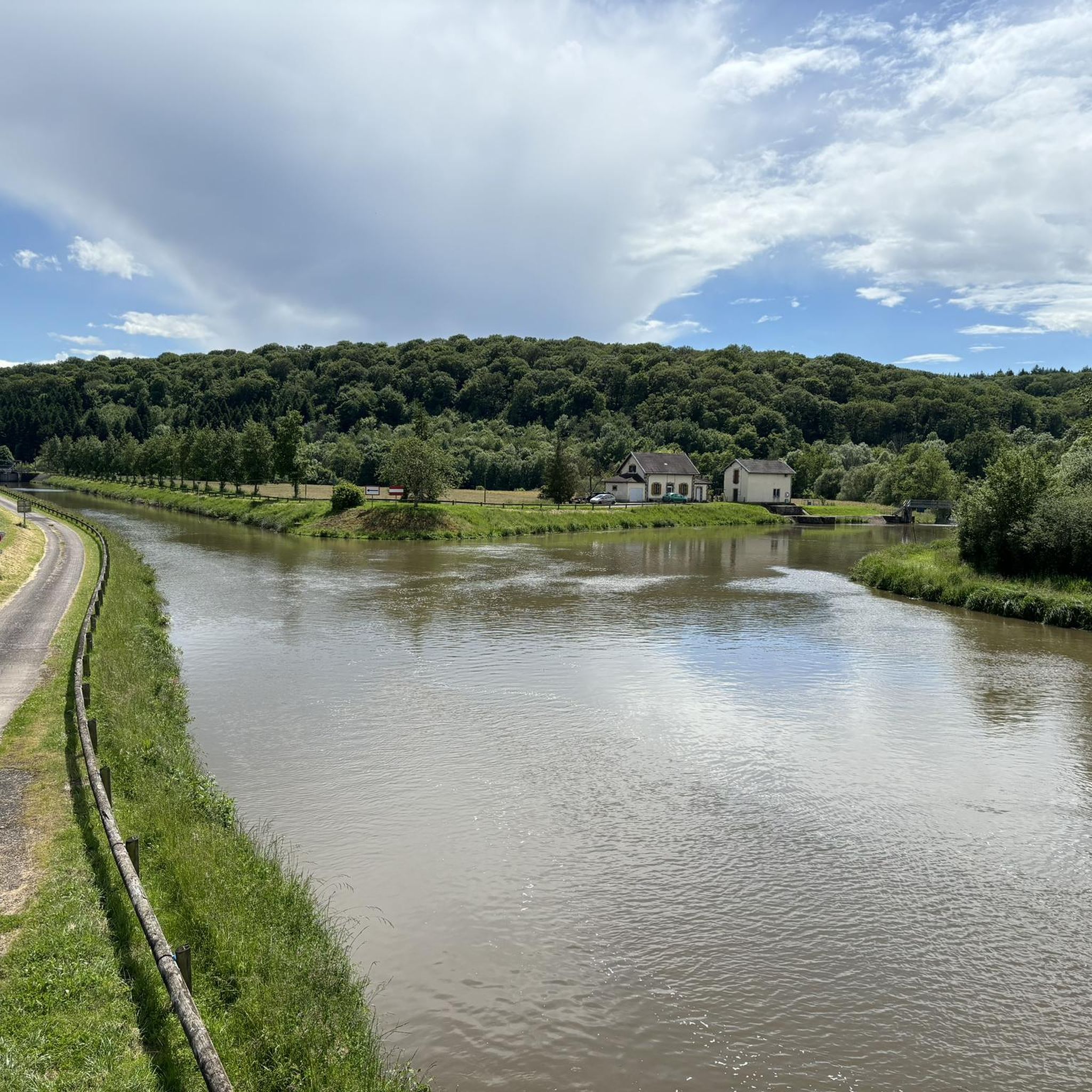
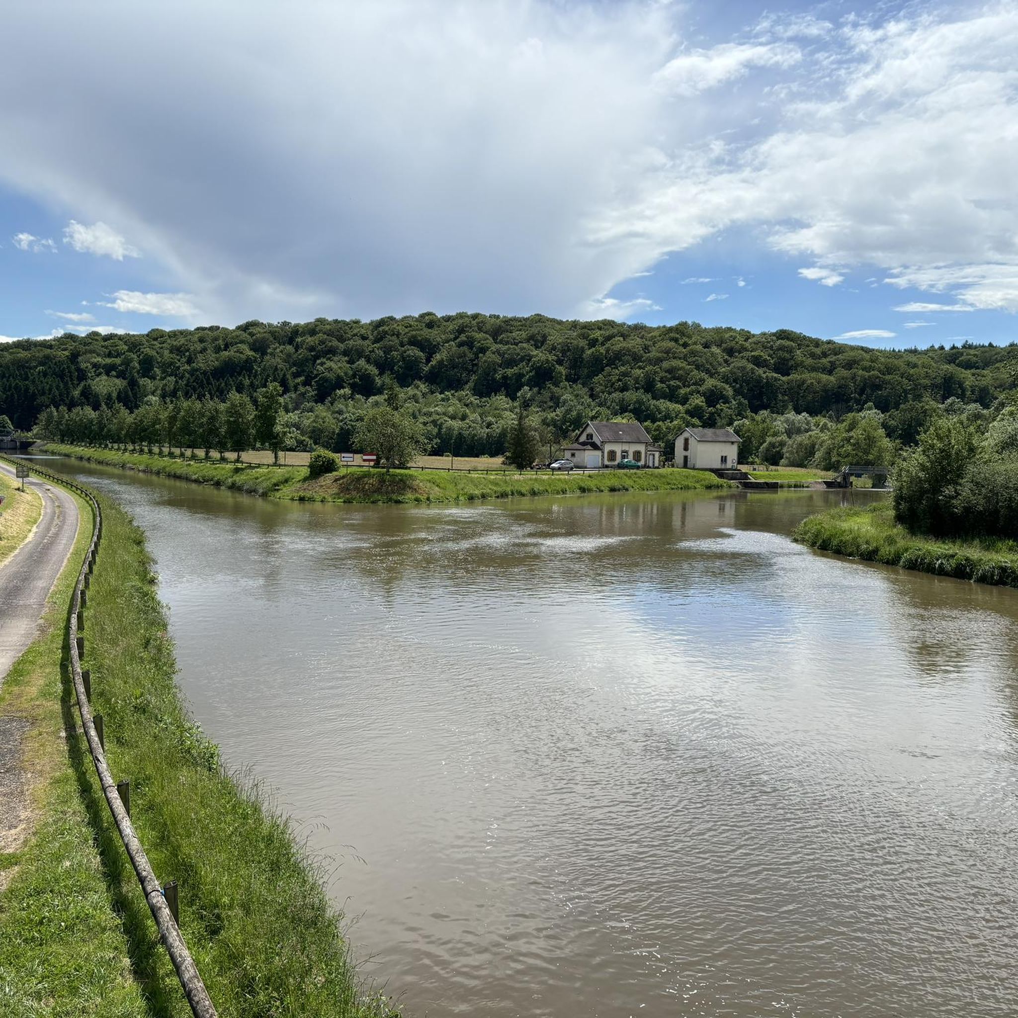
In 1806, Joseph Falatieu, then owner of the Bains-les-Bains factory (Vosges) and since 1804, of the Pont-du-Bois forge, acquired the property of Freland which extends over the communes of Ambiévillers and of Mailleroncourt-Saint-Pancras. It includes a refinery forge (Forge de Freland) and a ruined house, located in Ambiévillers on the other bank of the Coney; a bridge connected the two banks. In 1824, J. Falalieu bought the land around the ruin. In 1850, Annette Chavane, daughter of J. Falatieu, heiress to the Freland property, had the current residence built on the site of the old house in ruins; work began in 1848. A chapel built later (1867) and a concierge complete the ensemble. Finally, a park is created around the house, up to the bank of the Coney. The construction of the Eastern Canal in 1880 reduced the size of the park while the residence was exposed, on the edge of the reach. Downstream, a swing bridge, similar to that of Selles, was installed to cross the canal and reach the forge located on the other bank. The Chavanne family still owns the house. (source: https://patrimoine.bourgognefranchecomte.fr/dossiers-entreprises/chateau-de-freland)
1
0
Frequently Asked Questions
How many road cycling routes are available around Montureux-Lès-Baulay?
There are over 100 road cycling routes around Montureux-Lès-Baulay documented on komoot. These routes cater to various skill levels, with a good mix of easy, moderate, and challenging options to explore the region's diverse landscapes.
What kind of terrain can I expect on road cycling routes in Montureux-Lès-Baulay?
The terrain around Montureux-Lès-Baulay offers a varied experience. You'll find low-altitude riverside paths, including sections of the famous Voie Bleue, which are generally flat. However, the broader Haute-Saône region also features undulating roads and gradual climbs through rolling hills and forested areas, providing opportunities for more challenging rides.
Are there any family-friendly road cycling options near Montureux-Lès-Baulay?
Yes, for families or those seeking a gentler ride, the sections of the Voie Bleue that run alongside the Saône River offer low-altitude, accessible paths. These routes provide a serene backdrop of meadows and riverside scenery, perfect for a relaxed family outing.
What are some scenic highlights or landmarks I can see while cycling in the area?
Cyclists can enjoy views of the Saône River and its valleys, passing through meadows and forested sections. Notable landmarks include the View from Ormoy-Richecourt bridge, and the charming settlement of Jussey. The village of Montureux-Lès-Baulay itself features historical architecture like an Empire-style castle, a 19th-century church, and a beautifully restored lavoir.
What is the best time of year for road cycling in Montureux-Lès-Baulay?
While not explicitly stated, the region's characteristics suggest that spring, summer, and early autumn would be ideal. During these seasons, you can best enjoy the green canals, vineyards, lush forests, and charming villages without the challenges of winter weather. The Haute-Saône region is known for its pleasant cycling conditions during these months.
Are there any challenging road cycling routes for experienced cyclists?
Absolutely. For experienced cyclists seeking a challenge, routes like La Basse-Vaivre – Stone Bridge of Port-sur-Saône loop from Baulay offer significant elevation gain over 153 km. Another demanding option is the Pont de Pierre of Gray – La Basse-Vaivre loop from Buffignécourt, which covers over 240 km with substantial climbing, exploring the broader, hilly Haute-Saône region.
What do other road cyclists say about the routes in Montureux-Lès-Baulay?
The road cycling routes around Montureux-Lès-Baulay are highly regarded by the komoot community, with an average rating of 4.5 stars from over 25 reviews. Cyclists often praise the varied terrain, from tranquil riverside paths to rolling hills, and the picturesque scenery that makes for an enjoyable ride.
Can I find circular road cycling routes in this area?
Yes, many of the routes around Montureux-Lès-Baulay are designed as loops, allowing you to start and finish in the same location. For example, the Stone Bridge of Port-sur-Saône loop from Gevigney-et-Mercey is a moderate 50 km route that offers beautiful views and brings you back to your starting point.
Are there any specific points of interest along the Voie Bleue near Montureux-Lès-Baulay?
The Voie Bleue, which runs alongside the Saône, offers a rich environment of meadows and riverside scenery. While specific highlights directly adjacent to Montureux-Lès-Baulay on the Voie Bleue are not detailed, the route itself is known for passing through charming villages and offering a breathtaking panorama of natural and cultural heritage along the river.
Where can I find parking for road cycling routes in Montureux-Lès-Baulay?
While specific parking locations for cyclists are not detailed, Montureux-Lès-Baulay is a small village along the Saône River. Cyclists often find parking near the Pontoon of Montureux-lès-Baulay, which serves as a river stop and a starting point for local trails. Alternatively, parking may be available in the village center or near local amenities.
Are there any cafes or shops available along the road cycling routes?
Montureux-Lès-Baulay and the surrounding charming villages along the routes offer opportunities for refreshment. The Pontoon of Montureux-lès-Baulay has a nearby shop selling regional products. While not explicitly listed for every route, many villages in the Haute-Saône region will have local cafes or small shops where you can stop for a break and supplies.
What is the 'Amance loop' and where can I find details about it?
The 'Amance loop' is a known cycling route in the region that allows cyclists to discover the rolling landscapes of the upper Saône valley, passing by the navigable Saône and authentic villages. While not specifically listed in the top routes, it's a popular local option for exploring the area. You can often find details and GPX tracks for such local loops on platforms like komoot by searching for routes around Amance or the upper Saône valley.
Most popular attractions around Montureux-Lès-Baulay

Get inspired with the komoot mobile app


Explore more
Browse the best Road cycling routes in other regions.
