The 3 Most Amazing Peaks around Maroth
Mountain peaks around Maroth are characterized by their hilly terrain, which historically provided strategic locations for fortifications. The region's landscape features various elevations, offering opportunities for exploration. While specific prominent natural peaks are not widely recognized within Maroth itself, the surrounding areas present diverse summit and viewpoint experiences. These elevations contribute to the natural landscape of the Maroth location.
Best mountain peaks around Maroth
- The most popular mountain peaks is Dernbacher Kopf, a summit that is the highest point…
Last updated: June 28, 2026
Dernbacher Kopf
Highlight • Summit
Translated by Google •
Tip by

Gietzebeul Summit
Highlight • Summit
Except for the sign, there's nothing up here but nature.
Translated by Google •
Tip by

Sign up now to discover places like this
Get recommendations on the best single tracks, peaks, & plenty of other exciting outdoor places.
Sign up for free
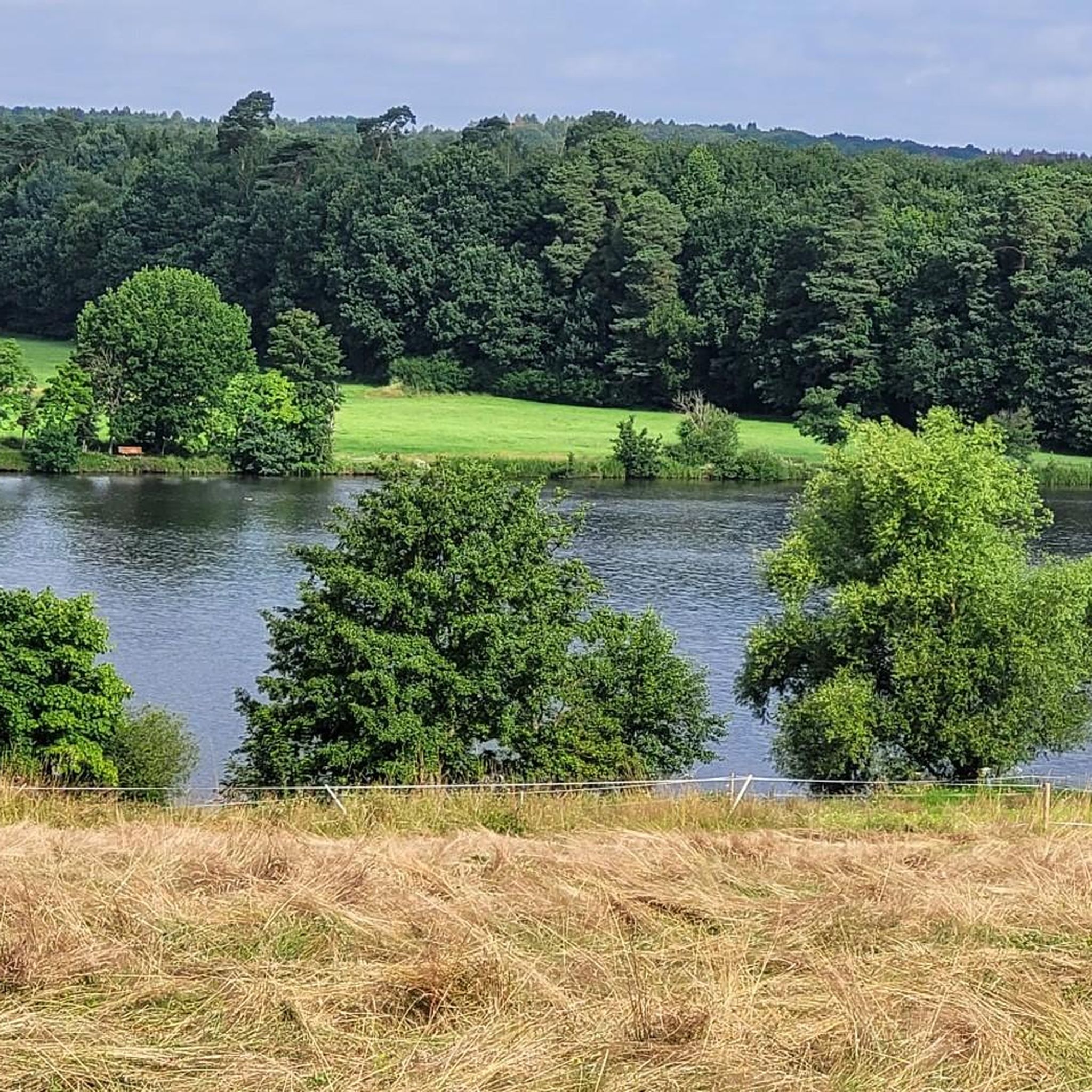
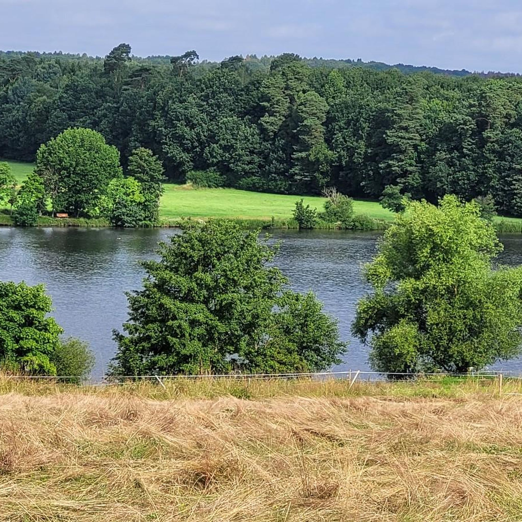
View of Malberg
Highlight • Viewpoint
Translated by Google •
Tip by

Pfahlberg summit (346 m) with summit cross
Highlight • Summit
Translated by Google •
Tip by

Start today with a free account
Your next adventure awaits.
Login or Signup
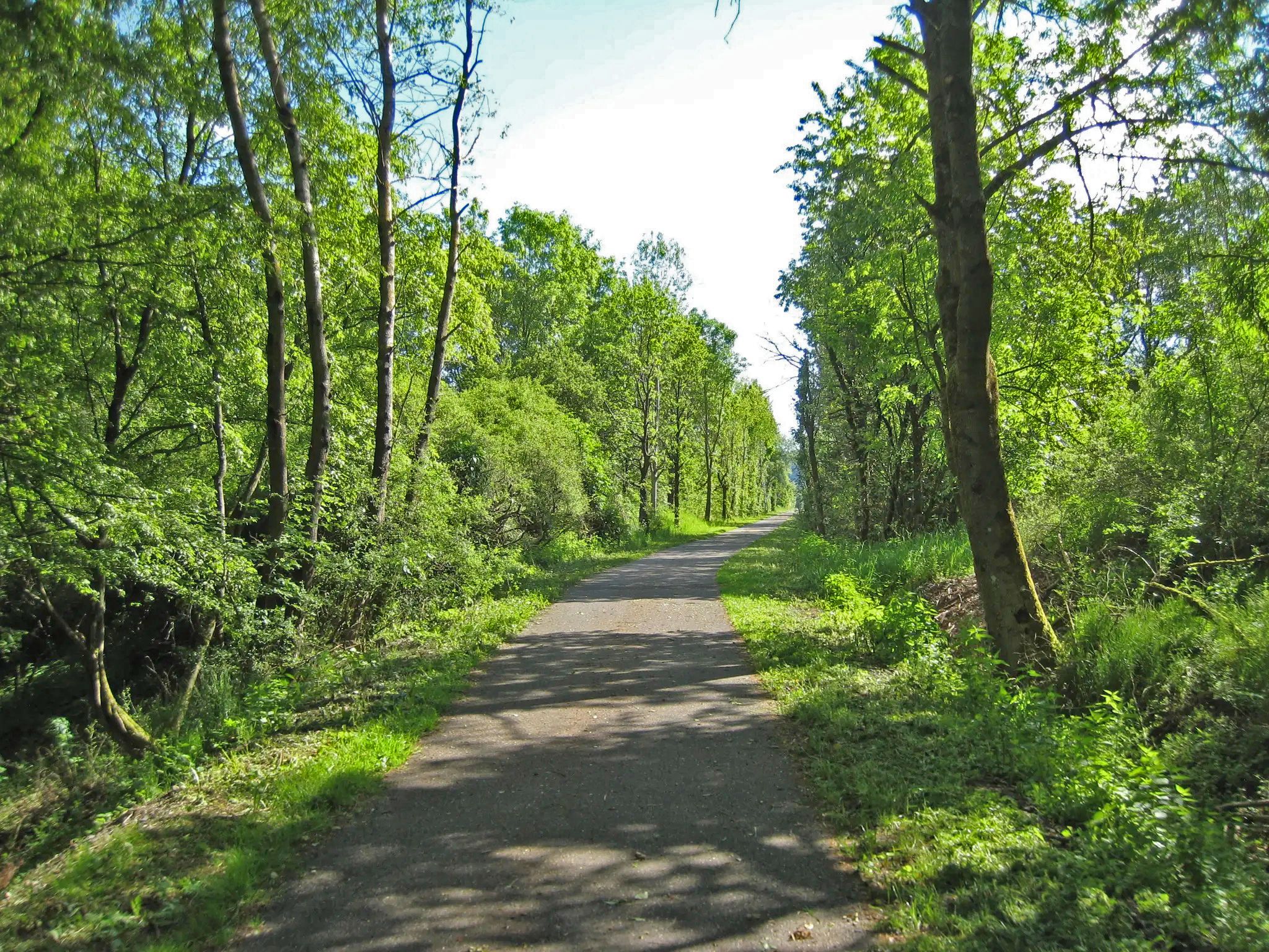
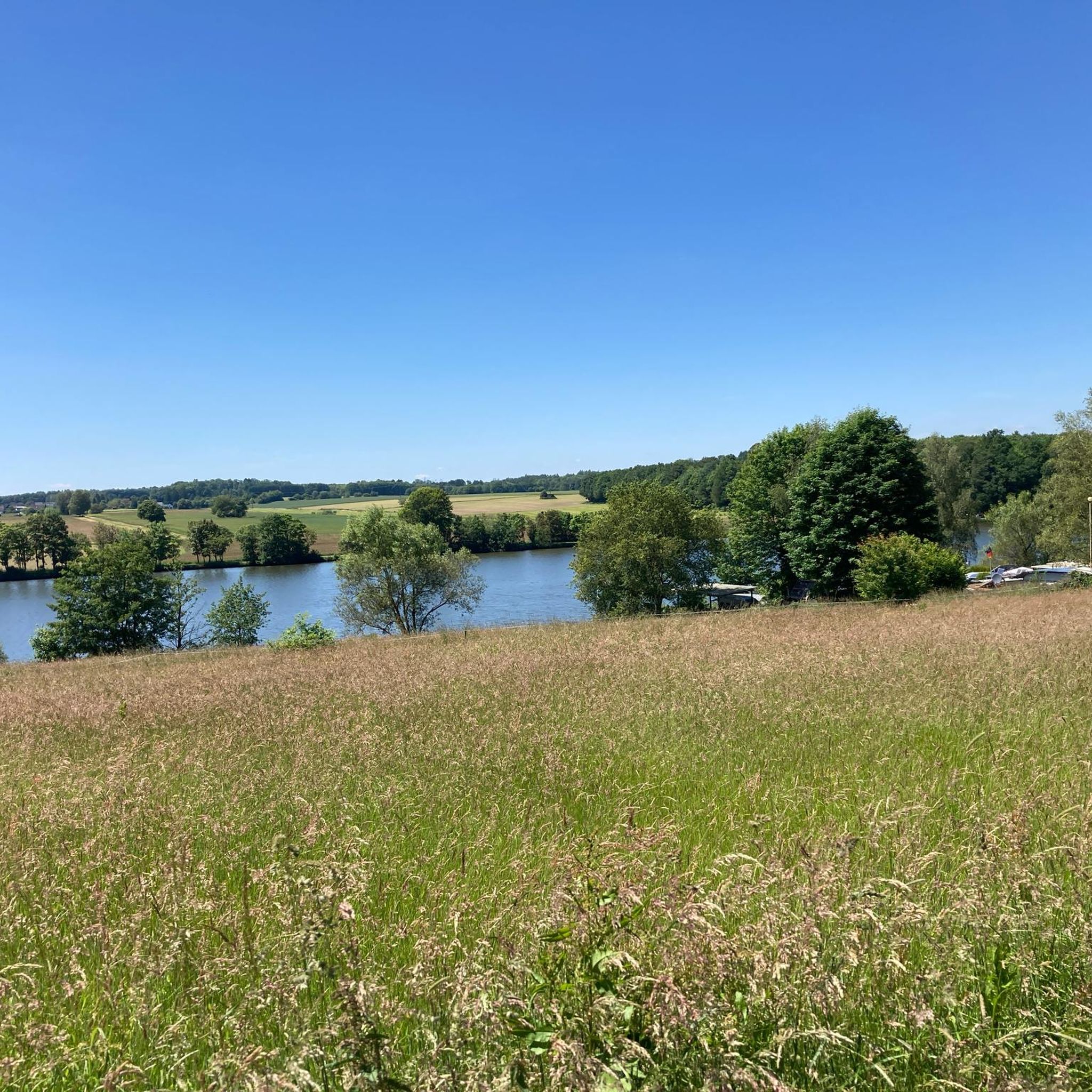
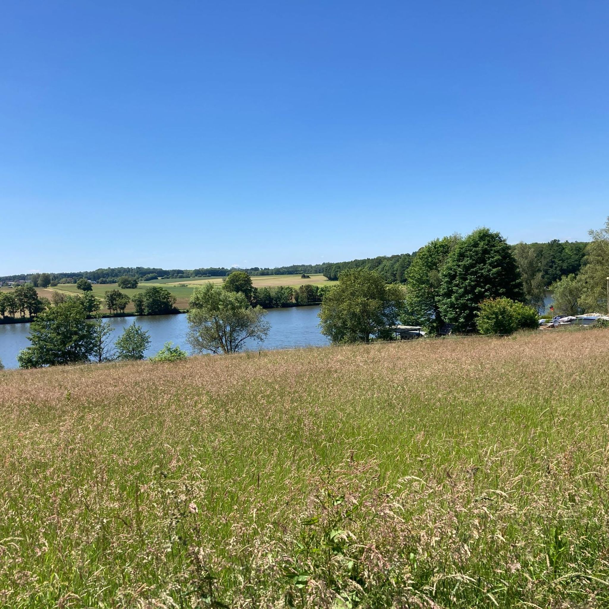
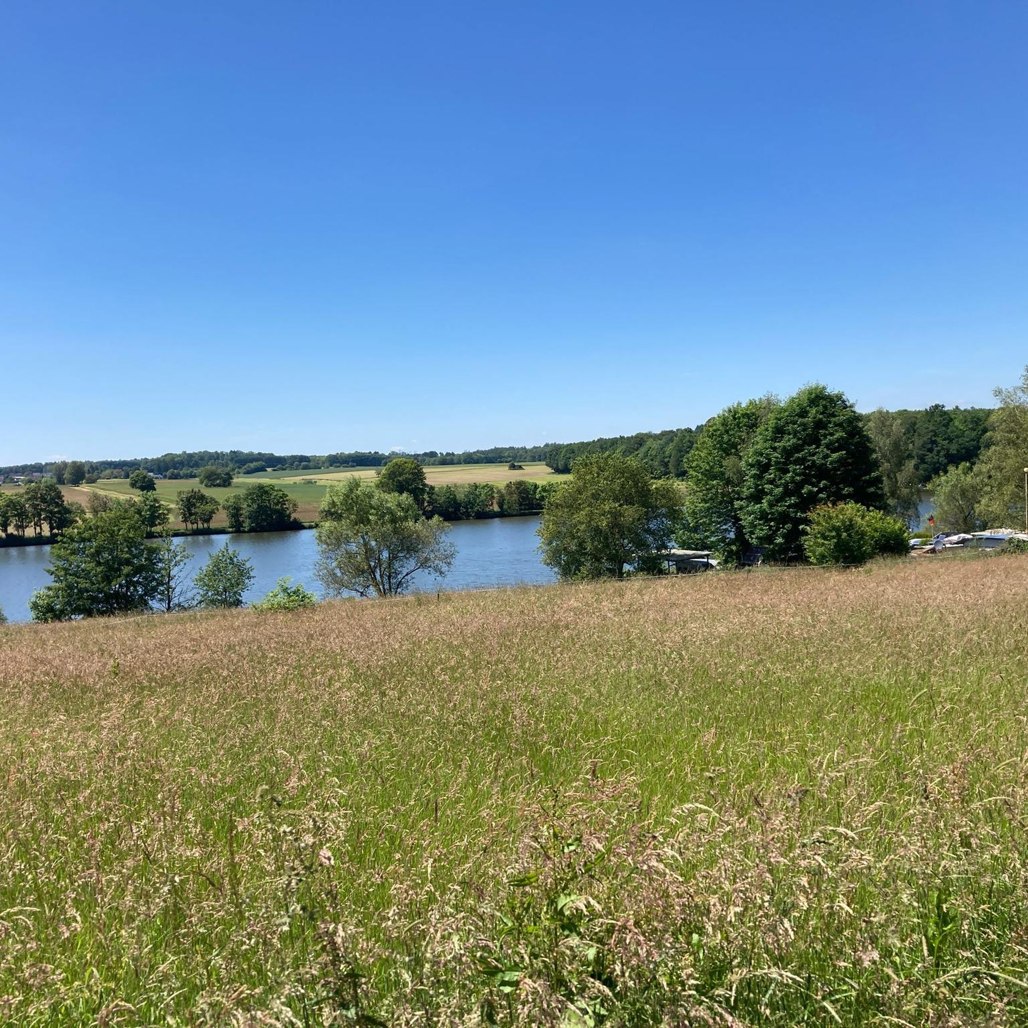
Other adventures around Maroth

Tips from the Community


The Dernbacher Kopf is the second highest elevation in the Neuwied district. A visit to the summit stone is always worth a visit. The surrounding area offers beautiful views toward the Montabaurer Höhe or the Eifel Mountains.
0
0

This information is really helpful for who really needs this. I hope you will many more write post like this.. https://www-sunpass.com
0
0

Although there is no good view to be enjoyed here as the summit is wooded, there is a summit cross and also a summit book and a small bench to rest on.
1
0
The highest point on the Dernbacher Kopf. There is no great view from this point, but this spot is marked with a summit stone with an inscription.
0
0

You have to climb or experience the Malberg, it's a great experience. It's very mystical and beautiful up there.
0
0


The spruces are almost all gone, the deciduous trees are still standing. Except for the sign, there's nothing up here but nature.
3
1
Frequently Asked Questions
What are the most notable mountain peaks around Maroth?
The area around Maroth features several interesting peaks. Among them are Dernbacher Kopf, known as the highest point in its immediate vicinity, and Gietzebeul Summit, which offers a trail through the forest. Another significant point is Pfahlberg summit (346 m), which, despite being wooded, features a summit cross and a resting bench.
Are there good viewpoints among the peaks near Maroth?
Yes, several peaks offer great views. View of Malberg is highly recommended for its majestic and mystical atmosphere, providing excellent vistas in good weather. Gietzebeul Summit also offers viewpoint opportunities, though some areas have been affected by environmental changes.
What kind of natural features can I expect to see on these peaks?
You'll find a mix of forest landscapes and natural monuments. Peaks like Dernbacher Kopf and Gietzebeul Summit are characterized by their wooded surroundings, though some areas show the impact of bark beetle infestations and clearing. Despite this, they remain significant natural elevations.
What is the difficulty level for hiking these mountain peaks?
Most of the highlighted peaks, such as Dernbacher Kopf, Gietzebeul Summit, and View of Malberg, are generally considered to have an intermediate difficulty level. This means they are suitable for hikers with some experience.
What outdoor activities are available near the mountain peaks around Maroth?
Beyond hiking the peaks, the region offers various cycling opportunities. You can explore Road Cycling Routes around Maroth, including easy loops like 'Raubach Station – Eulenturm (Lower Tower) Dierdorf'. For off-road adventures, there are Gravel biking routes and Traffic-free bike rides, with options ranging from moderate to difficult.
Are there any specific hiking trails to reach these summits?
Yes, for Gietzebeul Summit, there is a trail leading through the forest. While Pfahlberg summit is wooded, it is accessible and features a summit cross and a bench for resting. Many of the peaks are integrated into local trail networks.
What do visitors enjoy most about the peaks around Maroth?
Visitors appreciate the natural beauty and the sense of accomplishment. For instance, the View of Malberg is often described as a 'great experience' and 'very mystical and beautiful'. Hikers also value reaching the highest points, even if the views are sometimes obscured by trees, as noted for Pfahlberg summit.
What is the highest point in the Maroth area?
Dernbacher Kopf is recognized as the highest point in its immediate area. While it has seen significant changes due to bark beetle infestations and clearing, it remains a prominent natural feature.
Are there any unique features on the summits?
Yes, Pfahlberg summit (346 m) is notable for its summit cross and a small bench, offering a place for reflection despite being a wooded peak. Gietzebeul Summit, while now quite bare in parts, still features a sign marking the summit.
Can I find family-friendly activities or trails near these peaks?
While the peaks themselves are generally intermediate in difficulty, the broader area offers various outdoor activities that can be adapted for families. The Road Cycling Routes around Maroth include 'easy' graded options, which might be suitable for families with older children. Always check specific route details for suitability.
What kind of cycling routes are available near Maroth?
You can find a diverse range of cycling routes. For road cyclists, there are options like the 'Raubach Station – Eulenturm (Lower Tower) Dierdorf loop'. Gravel biking enthusiasts can explore routes such as 'Grenzbachtal – Grenzbachtal loop'. Additionally, there are dedicated traffic-free bike rides for a more relaxed experience.
Most popular attractions around Maroth

Get inspired with the komoot mobile app


Explore more
See even more amazing summits around Maroth with these guides:
