The best road cycling routes around Maroth
4.7
(90)
1,121
riders
95
rides
Road cycling routes around Maroth traverse a landscape characterized by rolling hills and a mix of open countryside and forested sections. The region features varied elevation profiles, with some routes offering gentle gradients and others presenting more significant climbs. Road cyclists can expect to encounter rural roads connecting small towns and historical points of interest.
Best road cycling routes around Maroth
- The most popular road cycling route is Raubach Station – Eulenturm (Lower Tower) Dierdorf loop from Maroth, an…
Last updated: July 5, 2026
3.0
(1)
19
riders
27.3km
01:09
190m
190m
Easy road ride. Great for any fitness level. Mostly well-paved surfaces and easy to ride.
5.0
(2)
24
riders
73.3km
03:28
950m
950m
Hard road ride. Very good fitness required. Mostly well-paved surfaces and easy to ride.

Sign up for free
5.0
(1)
20
riders
37.6km
01:50
340m
340m
Moderate road ride. Good fitness required. Mostly well-paved surfaces and easy to ride.
10
riders
30.3km
01:28
260m
260m
Easy road ride. Great for any fitness level. Mostly well-paved surfaces and easy to ride.
9
riders
Easy road ride. Great for any fitness level. Mostly well-paved surfaces and easy to ride.
Get access to more routes and recommendations from other explorers.
Sign up for free
Already have an account?
Our route recommendations are based on thousands of hikes, rides, and runs completed by other people on komoot.
Start today with a free account
Your next adventure awaits.
Login or Signup
Other adventures around Maroth

Tips from the Community

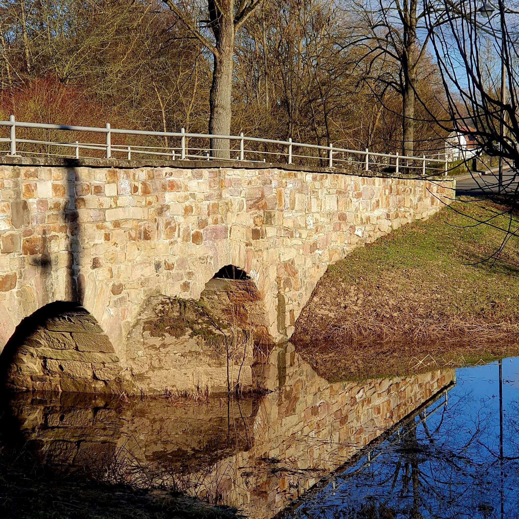
Beautiful half-timbered mill! Paved path from visit to Rossbach
0
0

A great cycle path along the Wied river leads past the monastery.
0
0

Very beautiful route, worth a detour!
1
0

Beautiful cycle path from Rückeroth to Goddert
0
0
Beautiful path from Marienrachdorf to Goddert
0
0

"On Palm Sunday, March 25, 1945, the town was bombed and half destroyed during the Allied advance. The town suffered 71 casualties at that time. More than 50 houses were completely destroyed, and many of the remaining houses suffered significant damage. One day later, on March 26, 1945, Dierdorf was occupied by US Army troops after brief skirmishes with the retreating remnants of the Wehrmacht. According to American sources, 67 Martin B-26 "Marauder" bombers flew the air raid on Dierdorf. They dropped a total of 272 bombs over the target area in eight waves. Each bomb weighed 450 kg." https://de.wikipedia.org/wiki/Dierdorf
0
0
<< Owl Tower >> "Remains of the listed city fortifications, built after 1357, are still preserved on the Holzbach dam. The "Untertorturm," later renamed the "Owl Tower," is an approximately 27-meter-high round tower, a typical medieval defense tower. It also served as a dungeon. Today, a fire brigade museum is located there. With remnants of the city wall, it testifies to the medieval importance of the settlement, which was granted city rights by Charles IV in 1357." https://www.tourenplaner-rheinland-pfalz.de/de/punkt/historische-staette/eulenturm/56629324/
0
0
Frequently Asked Questions
How many road cycling routes are available around Maroth?
Maroth offers nearly 100 road cycling routes, catering to various skill levels. You'll find options ranging from easy, gentle rides to more challenging, difficult routes with significant climbs.
Are there easy road cycling routes suitable for beginners in Maroth?
Yes, Maroth has over 20 easy road cycling routes perfect for beginners or those seeking a relaxed ride. These routes typically feature gentle gradients and cover distances suitable for shorter excursions. An example is the Wienauer Kirchweg Cycle Path – Eulenturm (Lower Tower) Dierdorf loop from Dierdorf, which is an easy 27.8 km (17.3 miles) ride.
What kind of terrain can I expect on road cycling routes in Maroth?
The region around Maroth is characterized by rolling hills, offering a mix of open countryside and forested sections. Routes feature varied elevation profiles, from gentle gradients to more significant climbs, all on rural roads connecting small towns and historical points of interest.
Are there any challenging road cycling routes for experienced riders?
Absolutely. For experienced road cyclists looking for a challenge, Maroth offers 6 difficult routes. These often include more substantial climbs and longer distances, traversing diverse landscapes. The Wiedbahn Tunnel and Bridge – Burg Ehrenstein Ruins loop from Maroth is a demanding 73.3 km (45.5 miles) path with significant elevation changes.
What are some scenic viewpoints or attractions along the road cycling routes?
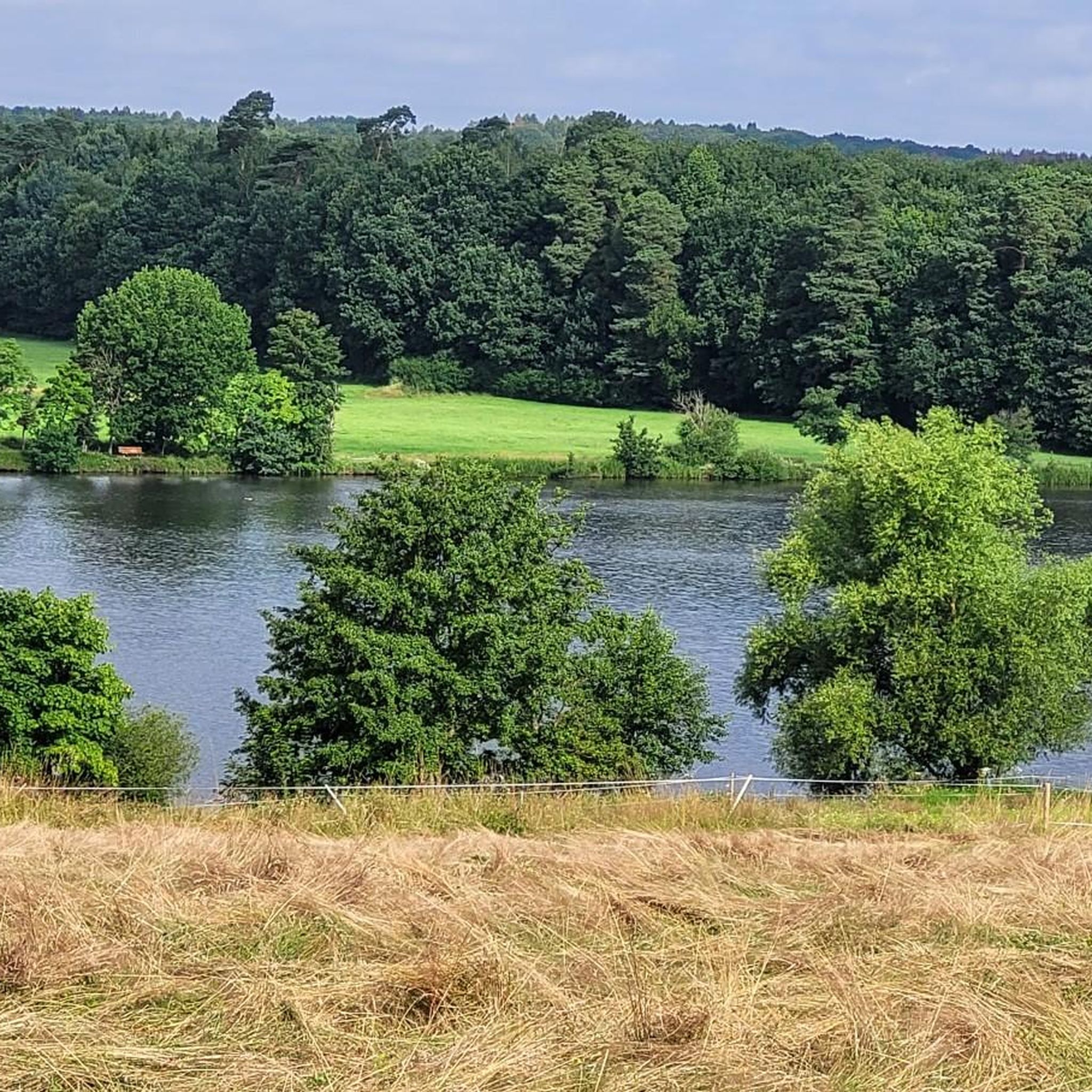
Many routes pass by beautiful natural features. You can enjoy views of the Dreifelder Pond, or explore the Wooden boardwalks at the Dreifelder Weiher. Other highlights include the Haidenweiher and the Veltens Pond, offering picturesque stops along your ride.
What is the best season for road cycling in Maroth?
The rolling hills and mixed landscapes of Maroth are enjoyable throughout the warmer months, typically from spring to autumn. During these seasons, you'll find pleasant temperatures and lush scenery. While winter cycling is possible, be prepared for colder conditions and potentially icy patches on rural roads.
Are there loop road cycling routes available in Maroth?
Yes, the majority of road cycling routes around Maroth are designed as loops, allowing you to start and end your ride in the same location. This makes planning your trip convenient, whether you're looking for a short spin or a longer excursion. An example is the Tree Nursery by the Roadside – Eulenturm (Lower Tower) Dierdorf loop from Dierdorf.
What do other road cyclists enjoy most about road cycling in Maroth?
The area is highly rated by the komoot community, with an average score of 4.8 stars from over 80 reviews. Cyclists often praise the varied terrain, the mix of open fields and woodlands, and the quiet rural roads that connect charming small towns and historical sites.
Are there any family-friendly road cycling options in Maroth?
While dedicated 'family-friendly' routes are not specifically categorized for road cycling, many of the easy routes with gentle gradients and shorter distances can be suitable for families with older children who are comfortable on rural roads. Always check the route's distance and elevation profile to ensure it matches your family's ability.
Where can I find cafes or places to stop for refreshments along the routes?
Many road cycling routes in Maroth connect small towns and villages. These often have local cafes, bakeries, or guesthouses where you can stop for refreshments. Planning your route with komoot allows you to see points of interest and potential stops along the way.
What are the typical distances and elevation gains for road cycling routes in Maroth?
Routes vary significantly. Easy routes might cover 17-30 km (10-19 miles) with elevation gains between 150-300 meters (500-1000 feet). More difficult routes can extend to over 70 km (43 miles) with elevation gains exceeding 900 meters (3000 feet), offering a diverse range of challenges.
Most popular attractions around Maroth

Get inspired with the komoot mobile app


Explore more
Browse the best Road cycling routes in other regions.
