Λευκά Όρη Ανατολικού Σελίνου Και Σφακίων
Λευκά Όρη Ανατολικού Σελίνου Και Σφακίων
The 6 Most Amazing Peaks in Λευκά Όρη Ανατολικού Σελίνου Και Σφακίων
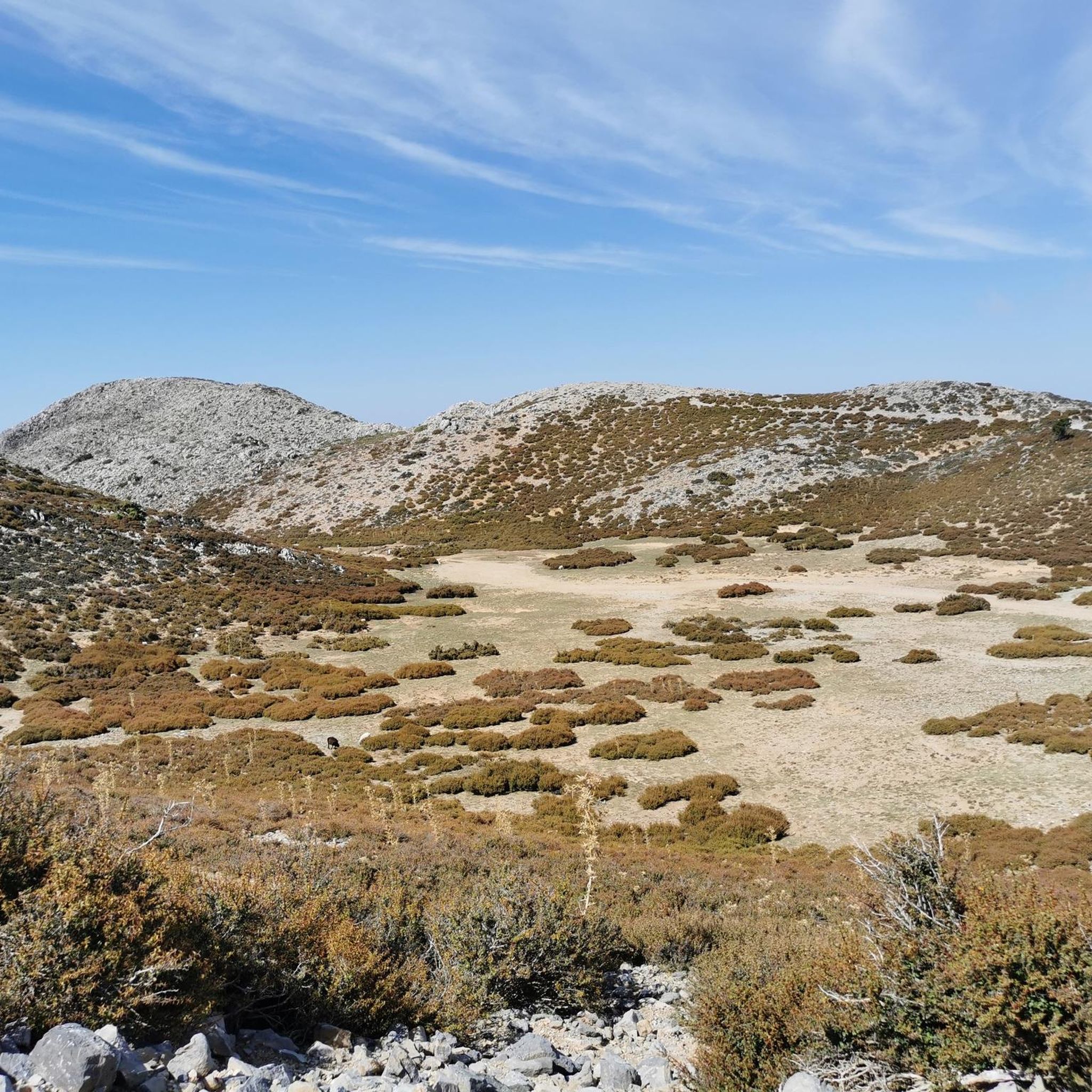
Best mountain peaks in Λευκά Όρη Ανατολικού Σελίνου Και Σφακίων are found within the White Mountains, a prominent range in Western Crete. This area features a rugged landscape characterized by limestone formations, deep gorges, and high plateaus. The region is known for its "Cretan high desert" terrain above 1,800 meters, with over 30 peaks exceeding 2,000 meters in altitude. It is a haven for biodiversity and holds historical significance as a refuge during various periods.
Best mountain peaks in Λευκά…
Last updated: August 20, 2026
Gingilos Peak
Highlight • Summit
Translated by Google •
Tip by

Highest Point of the E4 Stage in Samaria National Park
Highlight • Summit
Translated by Google •
Tip by

Sign up now to discover places like this
Get recommendations on the best single tracks, peaks, & plenty of other exciting outdoor places.
Sign up for free
Junction to Gigilos Summit
Highlight • Trail
Translated by Google •
Tip by

E4 Trail Ascent to Mount Gingilos Summit
Highlight • Trail
Translated by Google •
Tip by
Volakias
Highlight • Summit
Tip by

Sign up for free to discover even more peaks in Λευκά Όρη Ανατολικού Σελίνου Και Σφακίων.
Sign up for free
Already have an account?
Start today with a free account
Your next adventure awaits.
Login or Signup
Popular around Λευκά Όρη Ανατολικού Σελίνου Και Σφακίων
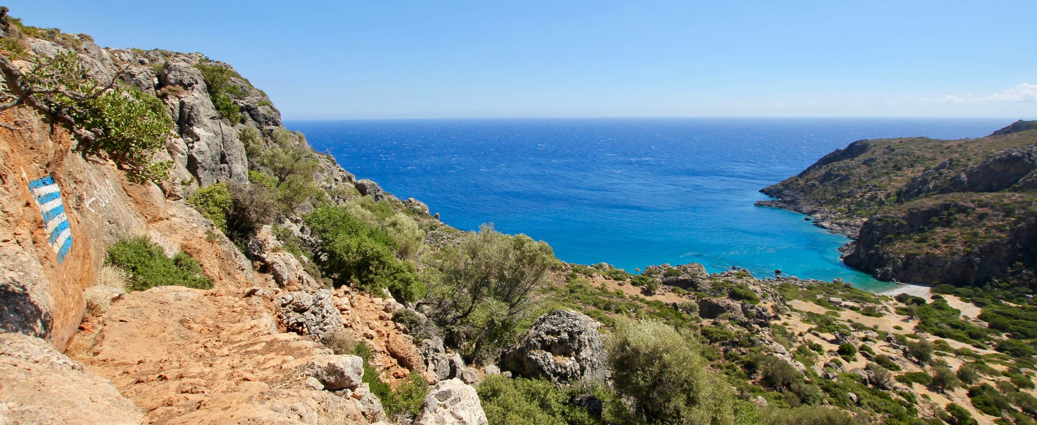
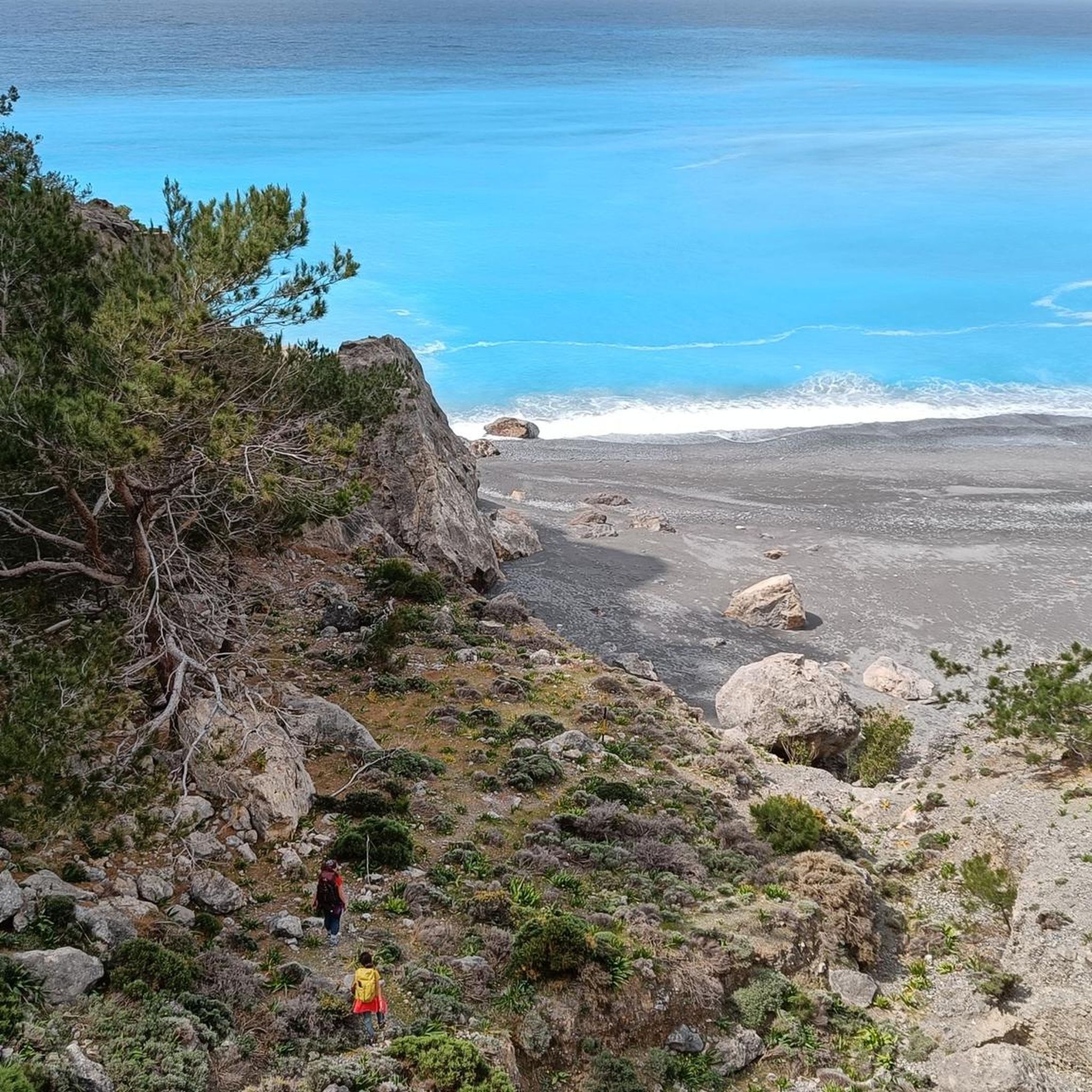
Lonely beaches & deep gorges — hiking in the south of Crete
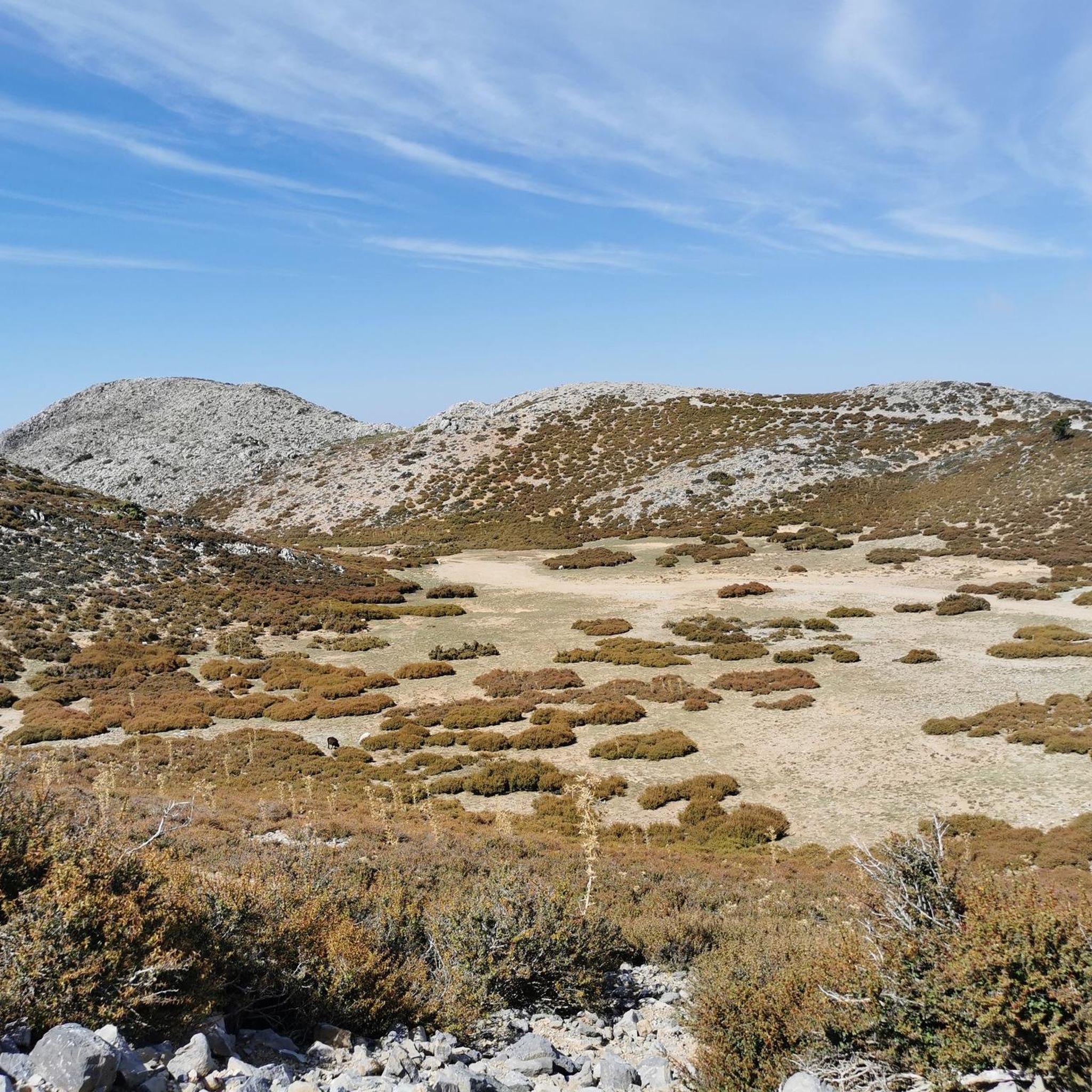
Hiking in Λευκά Όρη Ανατολικού Σελίνου Και Σφακίων
Road Cycling Routes in Λευκά Όρη Ανατολικού Σελίνου Και Σφακίων
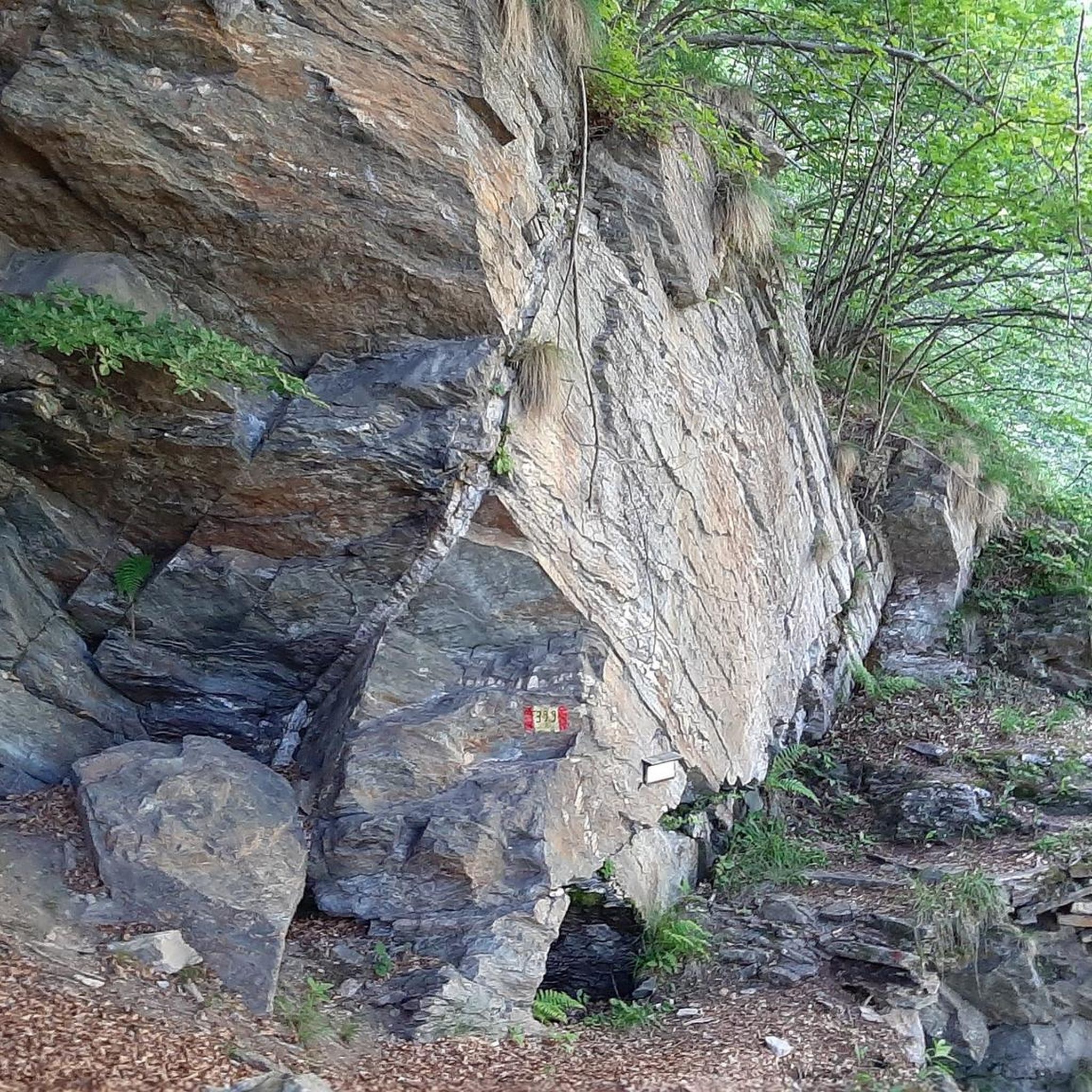
Mountain Hikes in Λευκά Όρη Ανατολικού Σελίνου Και Σφακίων
Running Trails in Λευκά Όρη Ανατολικού Σελίνου Και Σφακίων
Cycling in Λευκά Όρη Ανατολικού Σελίνου Και Σφακίων
Other adventures in Λευκά Όρη Ανατολικού Σελίνου Και Σφακίων

Tips from the Community

The tour to Gigilos is super well signposted and offers fantastic views
0
0
The tour to Volakias is not marked and requires a good sense of direction, but offers fantastic views!
1
0
sensational views from the highest point on the E4 and if you come from Sougia, you have 4/5 of the way behind you and already see down to Agia Roumeli!
0
1

Caution: some sections are dangerous and the trail crosses several scree slopes. Do not venture out alone and avoid in the rain. We are used to mountain hikes, even demanding ones, but we were surprised by the danger of this one (hike carried out at the end of September 2025 in rain and wind / we stopped at the pass).
2
0

Very demanding hike from Agia Roumeli to this point (E4). Allow 1.5 hours for the ascent, taking care (landslides, slippery slopes)
1
0

The path from the forepeak to the actual summit is a bit more challenging. There are some small climbing sections. Marked with red dots.
1
0

The path is rocky, but well maintained and occasionally marked with E4 poles and trail signs. On the Afchenas saddle, 1,706 m, the E4 and the path to the summit separate. When you reach the stone pyramid, this is only the forepeak. The actual summit can be identified by a metal pole (remains of the summit cross). Snow fields are still to be expected here in May.
2
1

From the saddle it takes at least another hour to reach the summit. Mountain boots, surefootedness and climbing skills are a must.
1
0
Frequently Asked Questions
What are the most popular mountain peaks in Λευκά Όρη Ανατολικού Σελίνου Και Σφακίων?
The region, part of the White Mountains in Western Crete, offers numerous impressive peaks. Among the most popular is Gingilos Peak, known for its massive vertical north face and spectacular views of the surrounding White Mountains, the Omalos plateau, and both the Aegean and Libyan Seas. Another notable point is the Highest Point of the E4 Stage in Samaria National Park, which offers a challenging hike with rewarding vistas.
What kind of terrain and elevation can I expect in the White Mountains?
The White Mountains are characterized by a rugged limestone landscape with deep gorges and high plateaus. The region is often called the 'Cretan high desert' due to its moon-like terrain above 1,800 meters, featuring over 30 peaks exceeding 2,000 meters. The highest summit, Pachnes, reaches 2,453 meters, offering a challenging high-alpine environment.
What are the difficulty levels for hiking in Λευκά Όρη Ανατολικού Σελίνου Και Σφακίων?
Hiking in this region ranges from challenging to very demanding. Trails often involve rocky paths, scree slopes, and some easy climbing sections, requiring sure-footedness and good orientation skills. For example, the ascent to Gingilos Peak includes technical scrambling, while the Highest Point of the E4 Stage in Samaria National Park is described as a very demanding hike with potential for landslides and slippery slopes.
What is the best time of year to hike the mountain peaks in this region?
The summer months are generally ideal for accessing the higher peaks like Pachnes, often via a rough 4x4 track followed by a hike. However, the White Mountains receive significant snowfall in winter, which contributes to distinct flora in spring. Peaks like Gingilos can be a great option during winter months when the Samaria Gorge might be closed, though snow fields can still be present in May.
Are there any mountain refuges or shelters available for multi-day treks?
Yes, the Katsiveli plateau, at 1,980 meters in the heart of the 'mountain desert,' hosts the Christos Chouliopoulos shelter. This refuge can accommodate up to 22 people and serves as a crucial base for hikers exploring the deeper parts of the White Mountains, including routes to Pachnes and Svourichti peak. Several E4 European path trails lead to it.
What unique natural features can I observe in the White Mountains?
The White Mountains are a haven for biodiversity, featuring many endemic plant and animal species. The high-altitude environment, particularly around Pachnes, is known as the 'Cretan high desert,' a unique, almost treeless landscape of conical peaks and dolines formed by extreme weathering of limestone. You'll also find ancient, wind-beaten pines and karst rock formations on trails like the one to Gingilos Peak.
What outdoor activities can I do near the mountain peaks in Λευκά Όρη Ανατολικού Σελίνου Και Σφακίων?
Beyond peak bagging, the region offers a variety of outdoor activities. You can explore challenging mountain hikes, including routes like the 'Junction to Gigilos Summit – Gigilos Peak loop' or the extensive 'Samaria Gorge loop'. For cyclists, there are numerous road cycling routes and general cycling tours that traverse the scenic landscapes.
What views can I expect from the summits?
The summits in the White Mountains offer breathtaking panoramic views. From Pachnes, you can see across the Samaria Gorge, Cape Gramvousa, Gavdos Island, and even Mount Psiloritis and Mount Gingilos on a clear day. Gingilos Peak provides spectacular views of the surrounding White Mountains, the Omalos plateau, and both the Aegean and Libyan Seas. The Sridomadi Summit Plateau also offers a fabulous 360-degree view of the Omalos plateau and the south.
Are there any historical aspects to the White Mountains?
Yes, the rugged terrain of the White Mountains has historically served as a refuge for rebels during various periods of Cretan history. This adds a layer of cultural significance to the natural beauty of the region.
What should I know about accessing the more remote peaks like Pachnes?
Pachnes, the highest peak in the White Mountains, is often accessed in summer via a rough 4x4 track from Anopoli, followed by a 1.5 to 2-hour hike to the summit. This trek is ideal for experienced hikers seeking solitude and a profound connection with nature, but requires preparation for challenging conditions.
What is Volakias peak and how does it compare to Gingilos?
Volakias (2,117 meters) is a high alpine peak often ascended in conjunction with Gingilos. It provides impressive views and a more remote experience for those seeking a more strenuous high-alpine adventure. It requires sure-footedness and some instinct for route finding, especially in good visibility.
What do visitors enjoy most about the mountain peaks in Λευκά Όρη Ανατολικού Σελίνου Και Σφακίων?
Visitors consistently praise the unparalleled panoramic views and the unique geological formations. The challenging yet rewarding hiking experiences, the solitude of the high desert, and the sense of wilderness immersion are frequently highlighted. The Sridomadi Summit Plateau, for instance, is loved for its 'fabulous 360-degree view' that is 'simply amazing'.
Most popular routes in Λευκά Όρη Ανατολικού Σελίνου Και Σφακίων
Most popular attractions in Λευκά Όρη Ανατολικού Σελίνου Και Σφακίων

Get inspired with the komoot mobile app


Explore more
See even more amazing summits in Λευκά Όρη Ανατολικού Σελίνου Και Σφακίων with these guides:
