The 3 Most Amazing Peaks around Ibias
Best mountain peaks around Ibias are found within the Fuentes del Narcea, Degaña and Ibias Natural Park, offering diverse outdoor experiences. The region features a landscape of rolling hills and notable summits, providing opportunities for hiking and exploration. This area, nestled in northwestern Spain, is recognized for its rich biodiversity and varied mountain terrain. Visitors can discover a range of natural features and viewpoints across its elevations.
Best mountain peaks around Ibias
- The most popular mountain peaks is Acebo Viewpoint…
Last updated: July 4, 2026
Pozo de las Mujeres Muertas Pass
Highlight • Mountain Pass
Translated by Google •
Tip by

Connio Pass
Highlight • Mountain Pass
Translated by Google •
Tip by
Sign up now to discover places like this
Get recommendations on the best single tracks, peaks, & plenty of other exciting outdoor places.
Sign up for free
Acebo Viewpoint
Highlight • Viewpoint
Translated by Google •
Tip by

Pico Mostallar
Highlight • Summit
Translated by Google •
Tip by

Pedras Apañadas Summit
Highlight (Segment) • Summit
Translated by Google •
Tip by

Start today with a free account
Your next adventure awaits.
Login or Signup
Other adventures around Ibias

Tips from the Community

Among the theories surrounding the unusual name of this mountain pass, one is the popular legend that some shepherdesses were caught in a blizzard and died in a nearby shelter. In any case, the pass is located in a stunning setting.
0
0

Mythical port in the province of Asturias for cyclists. From Cecos, this port awaits us with an altitude of 1,315 meters above sea level, a gradient of 1,024 m and a length of 19.39km with an average % of 5.28 and a maximum slope of 10%.
0
0

The Pozo de las Mujeres Muertas port has 3 slopes, all 3 hard and with ramps above 10%. 1. The eastern slope, which begins in Monasterio del Hermo, has 2 well-differentiated areas, with a second part of 4 km at 10% on average. The road is wide and has smooth asphalt in very good condition. With hardly any trees or traffic. 2. The west slope, which begins in San Antolín de Ibias, is longer and harder than the previous one, with 2 rest sections (including a small downhill section). The ramps are constant and have long straights. It is usually windy as it is a climb without any trees. The road is like the eastern slope. 3. The northern slope, which comes from the Valledor (gold valley), has nothing to do with the previous 2. Narrow and bumpy road, it has the appearance of old ports. It is hard and with constant ramps. With hardly any trees, although the wind blows less. For me, the best aspect. Absence of sources in the 3 slopes. You have to recharge at the starting locations. I once ran out of water on a hot day... and I had a hard time
1
0
The port of Connio is located within the “Port Route” of southwestern Asturias, which also includes the port of Pozo de las Mujeres Muertas. The climb crosses the Muniellos Biosphere Reserve, an authentic natural paradise. I recommend making a stop at a viewpoint in the rest area in the middle of the port (Mirador de Muniellos). I also recommend visiting the interpretation center, which is accessed by turning off the main road and going up a difficult section. For more details on the climb from Ventanueva, I recommend visiting the profile and description of Carlos Vega. https://www.carlosvega.net/ascensiones/159/el-connio-por-ventanueva-cangas-del-narcea
0
0

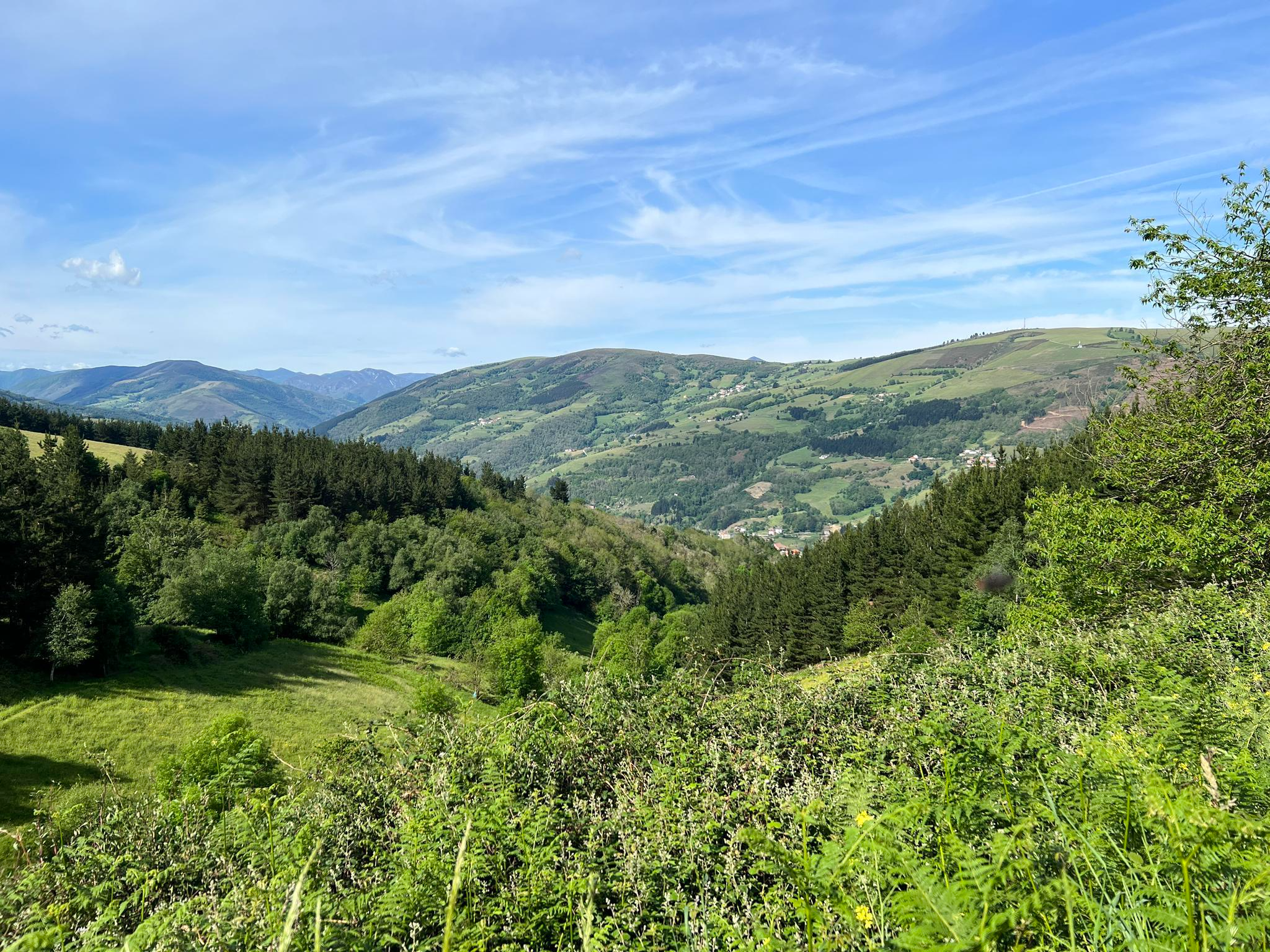
Alto de Pedras Apañadas on the border between Asturias and Galicia, the peak at 1200 masl is steep, but the descent will be sweet. Spectacular views across the valleys below and surrounding peaks.
1
0
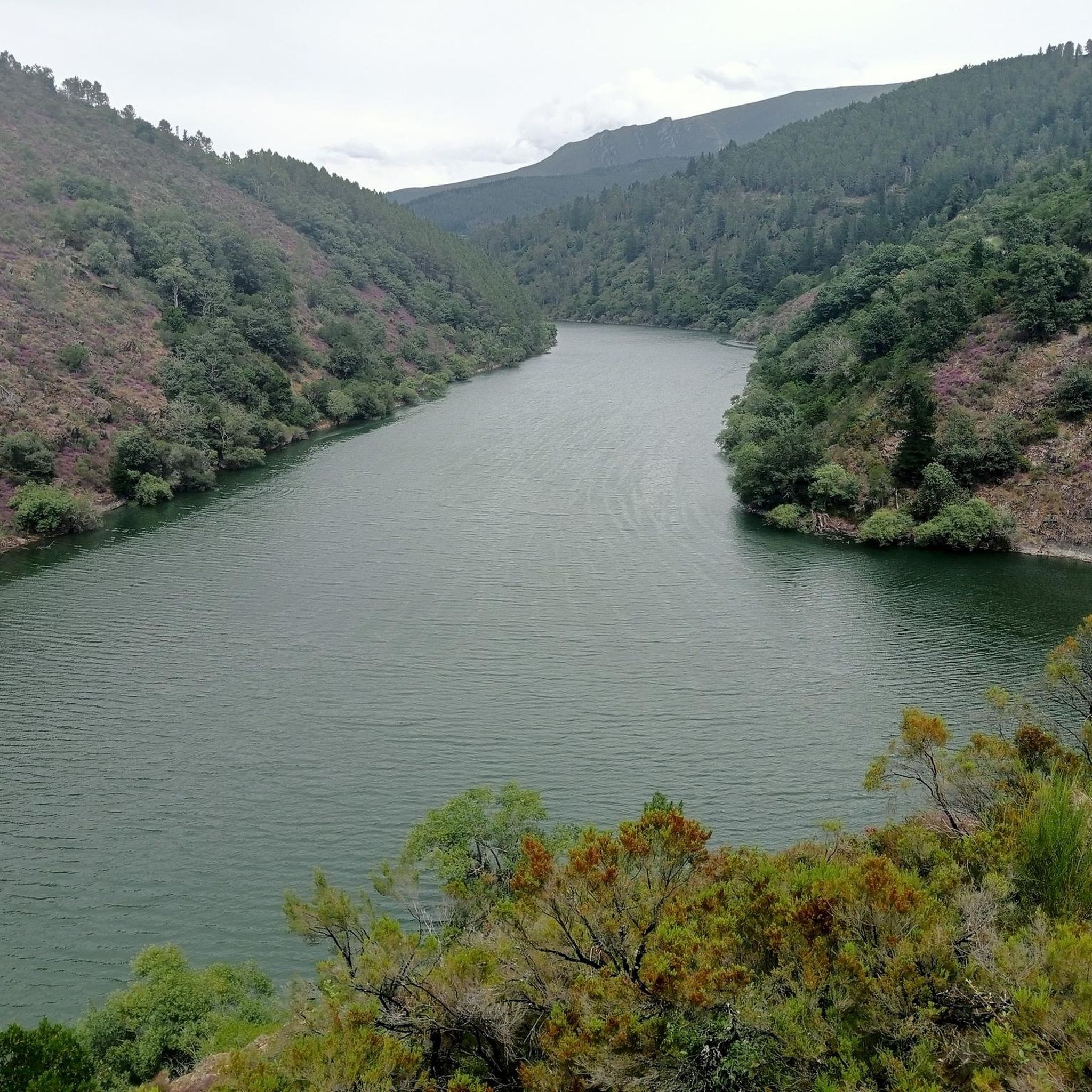
Crossing point of the Route of the Ports from Cangas del Narcea. The route up to here offers us excellent views of the beautiful surroundings of western Asturias.
1
0
Mythical port in the province of Asturias for road bike lovers. From Cecos, this pass awaits us with an altitude of 1,315 masl, a drop of 1,024 m and a length of 19.39 km with an average % of 5.28 and a maximum slope of 10%.
2
0

Located at an altitude of 1,935 meters, Pico del Mostallar or Mustallar is the highest and most emblematic peak in Los Ancares and in the entire province of Lugo.
4
0
Frequently Asked Questions
What are the highest mountain peaks in Ibias?
The highest peak within the municipality of Ibias is Rogueira Peak, standing at 1,961 meters (6,433 feet). Another significant peak is Teso Mular, reaching 1,883 meters (6,170 feet), known for its incredible views and challenging ascent.
What are some popular mountain passes and viewpoints in the Ibias region?
Visitors frequently enjoy Pozo de las Mujeres Muertas Pass, a challenging crossing point on the Route of the Ports offering excellent views of western Asturias. Another mythical spot for cyclists is Connio Pass, located within the “Port Route” and crossing the Muniellos Biosphere Reserve. The Acebo Viewpoint also offers rewarding views after a steady climb, situated near the border between Asturias and Galicia.
Are there challenging hikes to mountain peaks in Ibias?
Yes, several peaks in Ibias offer challenging hikes. The ascent to Teso Mular is physically demanding, especially the steep and rocky final climb, but rewards hikers with remarkable panoramic views. Pozo de las Mujeres Muertas Pass also features hard slopes with ramps above 10% on all three approaches. For a truly challenging summit, Pico Mostallar, though technically in Los Ancares, is a demanding climb at 1,935 meters.
What kind of views can I expect from the mountain peaks in Ibias?
The mountain peaks and passes in Ibias offer extensive panoramic views of the surrounding Cantabrian Mountains and the diverse landscapes of the Fuentes del Narcea, Degaña e Ibias Natural Park. From Rogueira Peak, you can expect unspoiled natural beauty, while Teso Mular provides incredible vistas of mountain ranges and the region's varied terrain. Viewpoints like Acebo Viewpoint also deliver rewarding perspectives of the area.
When is the best time to visit the mountain peaks in Ibias?
The best time to visit the mountain peaks in Ibias for hiking is generally during the spring and autumn months. Spring offers lush landscapes and full lakes, especially around Teso Mular and the Lakes of Sisterna, with blooming heather. Autumn provides pleasant temperatures and vibrant fall foliage. Summer can also be suitable, but be prepared for warmer weather and ensure you carry enough water, as sources can be scarce on some routes.
What outdoor activities can I do near the mountain peaks in Ibias?
Beyond hiking, the Ibias region offers diverse outdoor activities. You can explore numerous cycling routes, including challenging ascents like the Connio Pass via Cecos Trail. There are also dedicated running trails and a variety of hiking routes, such as the Muniellos Lagoons Loop or the Gold Trail, allowing you to experience the natural beauty of the area.
Are there family-friendly activities or trails around the mountain peaks in Ibias?
While many mountain trails in Ibias can be challenging, there are options for families. Look for shorter, less strenuous sections of trails or explore areas around the natural park that offer easier walks. The region's oak and beech forests, characteristic of the Fuentes del Narcea, Degaña e Ibias Natural Park, provide picturesque environments for walks without requiring a summit ascent. Always check the difficulty rating of specific routes before heading out with family.
What are the terrain characteristics of the mountain trails in Ibias?
The terrain around Ibias mountain peaks is characterized by dramatic orography. Trails can range from fun, somewhat rough, and steep paths over stones and rocks, as found on the way to Rogueira Peak, to challenging, rocky ascents like the final climb to Teso Mular. Some mountain passes, such as Pozo de las Mujeres Muertas Pass, feature wide roads with smooth asphalt, while others, like its northern slope, can be narrow and bumpy, resembling older mountain passes.
Can I bring my dog on trails around Ibias mountain peaks?
Many outdoor trails in natural areas like Ibias are generally dog-friendly, especially if dogs are kept on a leash. However, specific regulations can vary within the Fuentes del Narcea, Degaña e Ibias Natural Park and the Muniellos Biosphere Reserve. It's always advisable to check local signage or park guidelines for any restrictions, particularly in protected areas or near wildlife habitats, to ensure a pleasant and responsible experience for everyone.
What natural features can I see besides the peaks themselves?
Beyond the peaks, the region boasts diverse natural features. The route to Teso Mular, for instance, incorporates the beautiful Lakes of Sisterna and several waterfalls, which are particularly stunning in spring. You'll also encounter wild and solitary landscapes, including ancient oak and beech forests, characteristic of the natural park. The area is rich in flora and fauna, making it an excellent destination for nature observation.
Most popular attractions around Ibias

Get inspired with the komoot mobile app


Explore more
See even more amazing summits around Ibias with these guides:
