The 12 Most Amazing Peaks around Amieva
Best mountain peaks around Amieva are found in a municipality nestled in Asturias, Spain, serving as a gateway to the Picos de Europa National Park. The region features impressive gray limestone massifs and a rugged landscape, with elevations reaching up to 2,478 meters. Amieva provides access to high-altitude trekking and climbing challenges, and is a starting point for numerous hiking routes. The area also supports adventure sports such as climbing and canyoning.
Best mountain peaks around Amieva
- The most popular…
Last updated: July 4, 2026
Jou de los Cabrones Refuge
Highlight • Mountain Hut
Translated by Google •
Tip by

La Cotorra Summit
Highlight • Summit
Translated by Google •
Tip by

Sign up now to discover places like this
Get recommendations on the best single tracks, peaks, & plenty of other exciting outdoor places.
Sign up for free
Pico Arbolín
Highlight • Summit
Translated by Google •
Tip by
Jario Peak
Highlight • Summit
Translated by Google •
Tip by

Ascent to Los Collaos
Highlight (Segment) • Trail
Translated by Google •
Tip by
Sign up for free to discover even more peaks around Amieva.
Sign up for free
Already have an account?
Start today with a free account
Your next adventure awaits.
Login or Signup
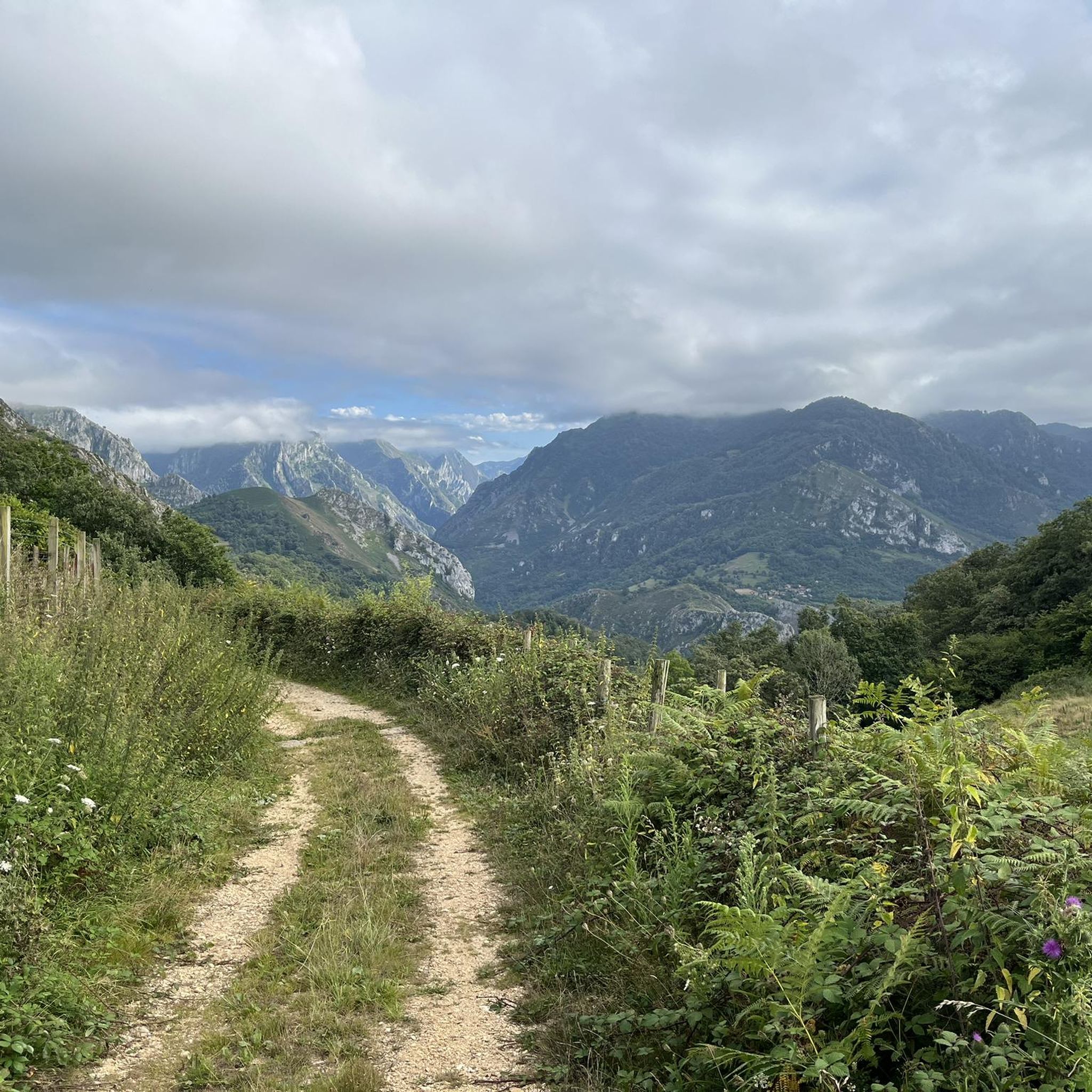
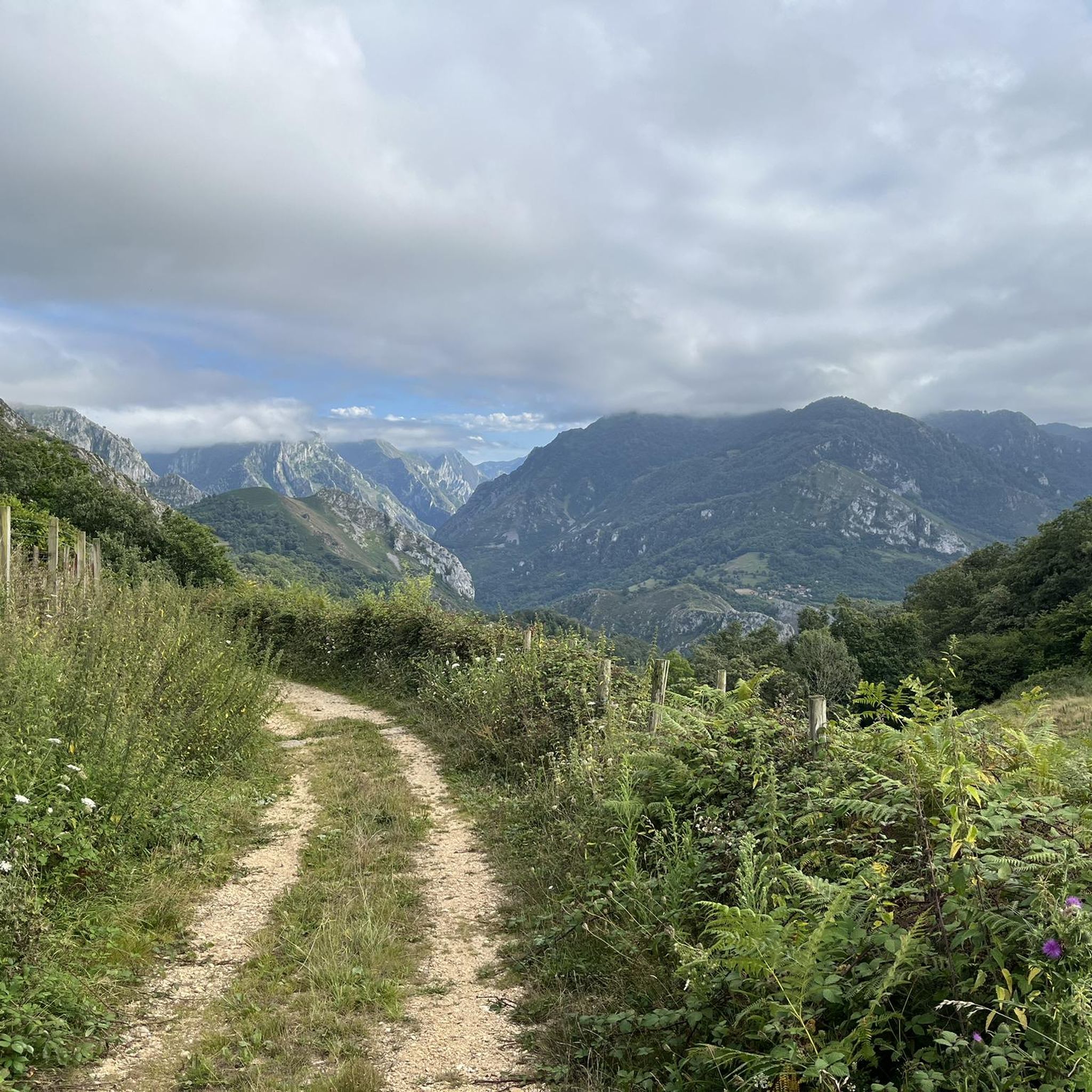

Other adventures around Amieva

Tips from the Community

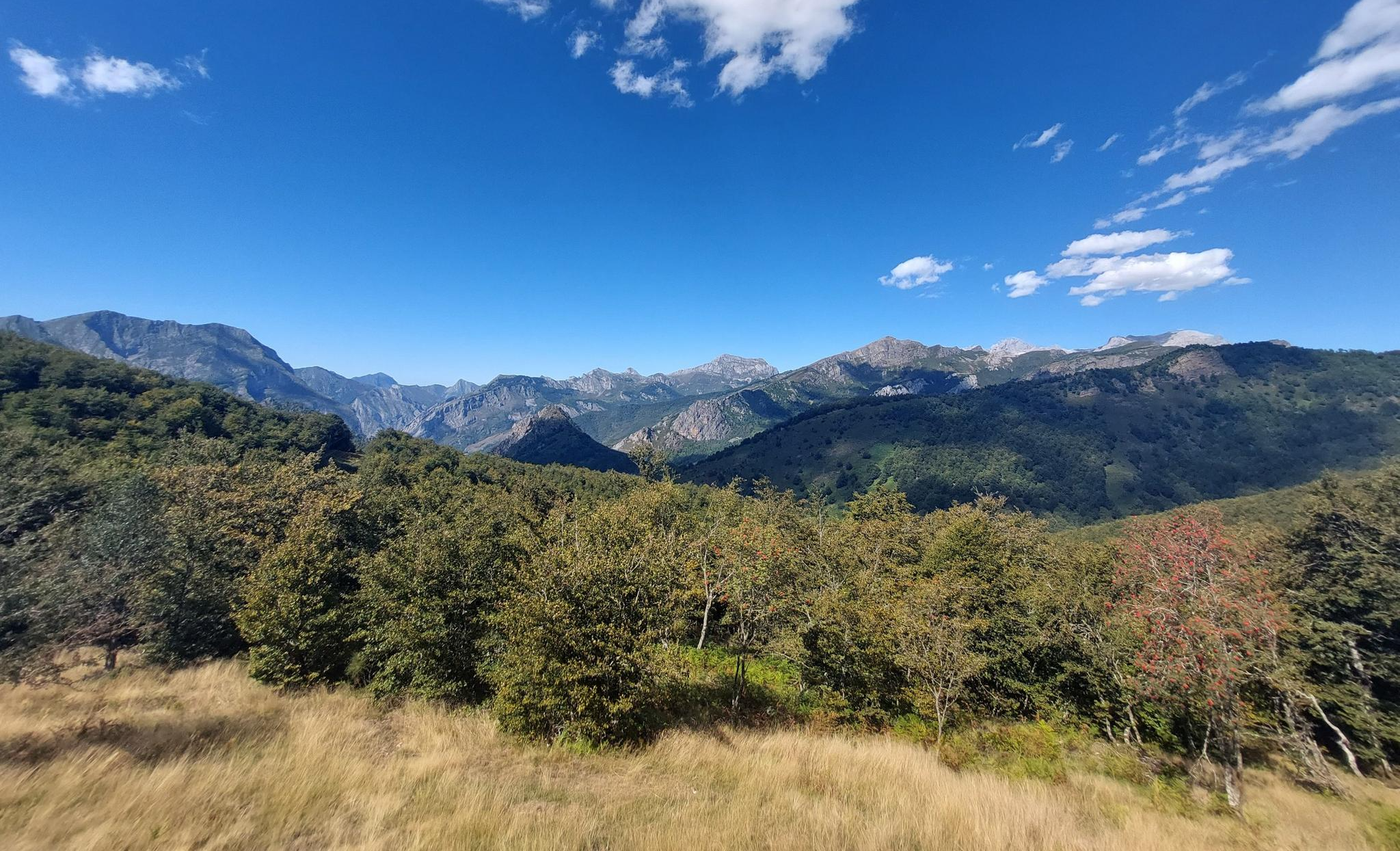
La Cotorra, whose summit is at a modest altitude of 1,518 meters, is embraced by a beech forest. With its strategic location overlooking the Dobra River, you can enjoy breathtaking views.
2
0
The views of Cangas de Onís and Picos de Europa are beautiful and the path up to the peak is easy to walk.
3
0


The Jou de los Cabrones Refuge, in addition to being the one located at the highest altitude of all the Asturias refuges, is the most difficult to reach in the entire Spanish territory. His approaches from any place that is attempted are all difficult, for any of them we will always find a place where we will have to use our hands. For this reason, it makes it a special refuge, not only because of its views but also because of the sensation of arriving at a place in a unique enclave. If you want to reserve a room or meals, the contact telephone number is 650 780 381 and 985 925 200. You can also do it through www.reservarefugios.com. The summer season is the busiest in Picos so keep that in mind!
1
1
This section of the route runs through a rocky area devoid of vegetation that, in a continuous ups and downs, gains height from the 422 meters of altitude that we had next to the houses to the 525 meters that we reached in Los Collaos (km 17 ,4). From here we have a small section in saw teeth (always bordering on or slightly exceeding 500 meters) until we reach the descent (18.1) that will take us to Poncebos (km.20.2).
0
0

Pico Jario is located at the western end of the Western Massif of Picos de Europa, a little separated from the rest of the Massif by the great meadows and forests of Vegabaño.
7
0

This "path" is seldom easily recognizable or accessible, not signposted, sometimes very steep, often loose ground. The only navigation aid are the cairns, which were set up by the locals. Only tackle it when the weather is good, when the clouds are in your neck, things can get critical.
0
0

be prepared for some rock scrambling in the last mile
2
0
Frequently Asked Questions
What are the most popular mountain peaks and viewpoints around Amieva?
Visitors frequently enjoy the challenging ascent to Jou de los Cabrones Refuge, known for its unique enclave and panoramic views. Another favorite is La Cotorra Summit, offering breathtaking views over the Dobra River from its beech forest setting. Pico Arbolín is also popular for its easy path to the peak and views of Cangas de Onís and Picos de Europa.
What is the difficulty level of mountain trails in Amieva?
The mountain trails around Amieva range from intermediate to very challenging. For instance, the path to Pico Arbolín is considered easy to walk, while reaching Jou de los Cabrones Refuge involves significant rock scrambling and is among the most difficult to reach refuges in Spain. The Ascent to Los Collaos is also a challenging route through rocky, often unmarked terrain, best tackled in good weather.
Are there family-friendly mountain walks in Amieva?
While many peaks in Amieva offer challenging routes, the region also provides options for less strenuous walks. For example, the path up to Pico Arbolín is described as easy to walk, making it suitable for families looking for an accessible summit experience with rewarding views. The Picos de Europa National Park, which encompasses Amieva, also features moderate river walks.
What natural features can I expect to see in the mountains around Amieva?
The mountains around Amieva are characterized by dramatic grey limestone massifs, deep valleys, and lush green forests, particularly beech forests like those embracing La Cotorra Summit. You'll encounter rugged terrain typical of the Picos de Europa National Park, with elevations reaching up to 2,478 meters, offering diverse landscapes from rocky peaks to verdant meadows.
What outdoor activities can I do near the mountain peaks of Amieva?
Beyond hiking and trekking to the various peaks, Amieva is an excellent base for other outdoor adventures. The region's gorges are ideal for canyoning and rafting. For cycling enthusiasts, there are numerous routes available, including MTB Trails, Road Cycling Routes, and general Cycling routes around Amieva, catering to various skill levels.
What is the best time to hike the mountains around Amieva?
The summer season is generally the busiest and most popular time for visiting the Picos de Europa, including the peaks around Amieva, due to more favorable weather conditions. However, the region offers beauty in all seasons. Be prepared for varying conditions, especially when tackling challenging routes like the one to Los Collaos, which should only be attempted in good weather.
Are there any historical trails or landmarks in the Amieva mountains?
Yes, the historic Senda del Arcediano trail passes through Amieva, offering a blend of natural beauty and historical significance. This route was an important medieval path, providing access to various mountainous areas and connecting communities through the rugged landscape.
Can I find accommodation or places to eat near the mountain peaks?
Yes, some mountain facilities offer accommodation and food. For instance, Jou de los Cabrones Refuge provides both lodging and meals. It is advisable to reserve in advance, especially during the busy summer season, by contacting them directly or through www.reservarefugios.com.
What should I know about the highest peaks in the Amieva region?
The highest elevation within Amieva reaches 2,478 meters (8,130 ft). While specific named peaks at this exact height aren't detailed, the region provides access to the rugged terrain of the Picos de Europa National Park, including its Central, Eastern, and Western massifs, which feature numerous high-altitude challenges for experienced mountaineers.
Are there any hidden gem mountain peaks or less-known viewpoints in Amieva?
While the guide highlights popular spots, the vastness of the Picos de Europa National Park means there are many less-traveled paths. The area around El Collado del Angón, for example, offers panoramic views and a scenic hiking route to La Presa de la Jocica, which might provide a more secluded experience away from the busiest trails.
What kind of wildlife can be spotted in the Amieva mountains?
The Picos de Europa National Park, where Amieva is located, is rich in biodiversity. While specific wildlife sightings are not guaranteed, the diverse habitats of forests, meadows, and rocky peaks support a variety of species. Keep an eye out for chamois, various bird species, and other mountain fauna typical of the Cantabrian Mountains.
Most popular attractions around Amieva

Get inspired with the komoot mobile app


Explore more
See even more amazing summits around Amieva with these guides:
