The 11 Most Amazing Peaks around Frontera
Best mountain peaks around Frontera are found on El Hierro, the smallest of the Canary Islands, a UNESCO World Biosphere Reserve. This region is characterized by dramatic volcanic landscapes, impressive cliffs, and ancient forests. The area offers diverse terrain, from sea level to high summits, providing varied hiking opportunities. Its unique geology and natural beauty make it a significant destination for outdoor enthusiasts.
Best mountain peaks around Frontera
- The most popular mountain peaks is Malpaso Peak, a summit that…
Last updated: October 21, 2026
Malpaso Peak
Highlight • Summit
The Malpaso volcano is the highest point on the island of El Hierro.
Malpaso has a height of approximately 1,501 meters above sea level.
Translated by Google •
Tip by

Observatorium
Highlight • Monument
It is a place on the summit, at about 1354 m altitude, and practically in the geographical center of the island.
It is a private facility, maintained thanks to …
Translated by Google •
Tip by
Sign up now to discover places like this
Get recommendations on the best single tracks, peaks, & plenty of other exciting outdoor places.
Pico Ventejís Summit
Highlight • Summit
Translated by Google •
Tip by

Montaña Puerto de Naos
Highlight • Volcano
Translated by Google •
Tip by

Viewpoint at Montaña Bermeja
Highlight • Viewpoint
Translated by Google •
Tip by

Sign up for free to discover even more peaks around Frontera.
Already have an account?
Start today with a free account
Your next adventure awaits.
Popular around Frontera

La Palma, El Hierro y La Gomera – explore the Canaries’ Green Islands on foot
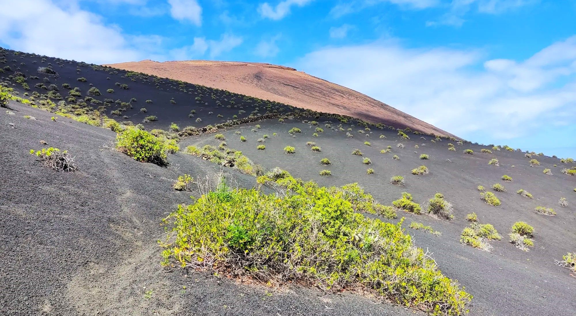
Canarian essence and traditional paths – El Hierro Loop
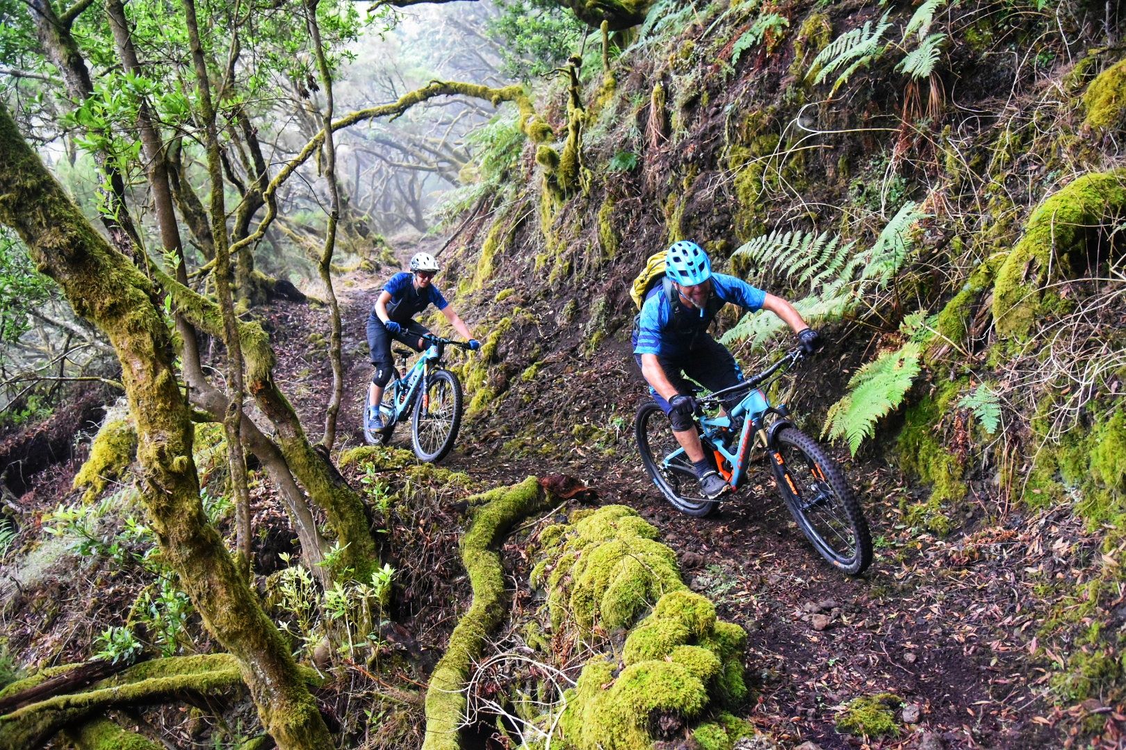
El Hierro: Cycling at the End of the World
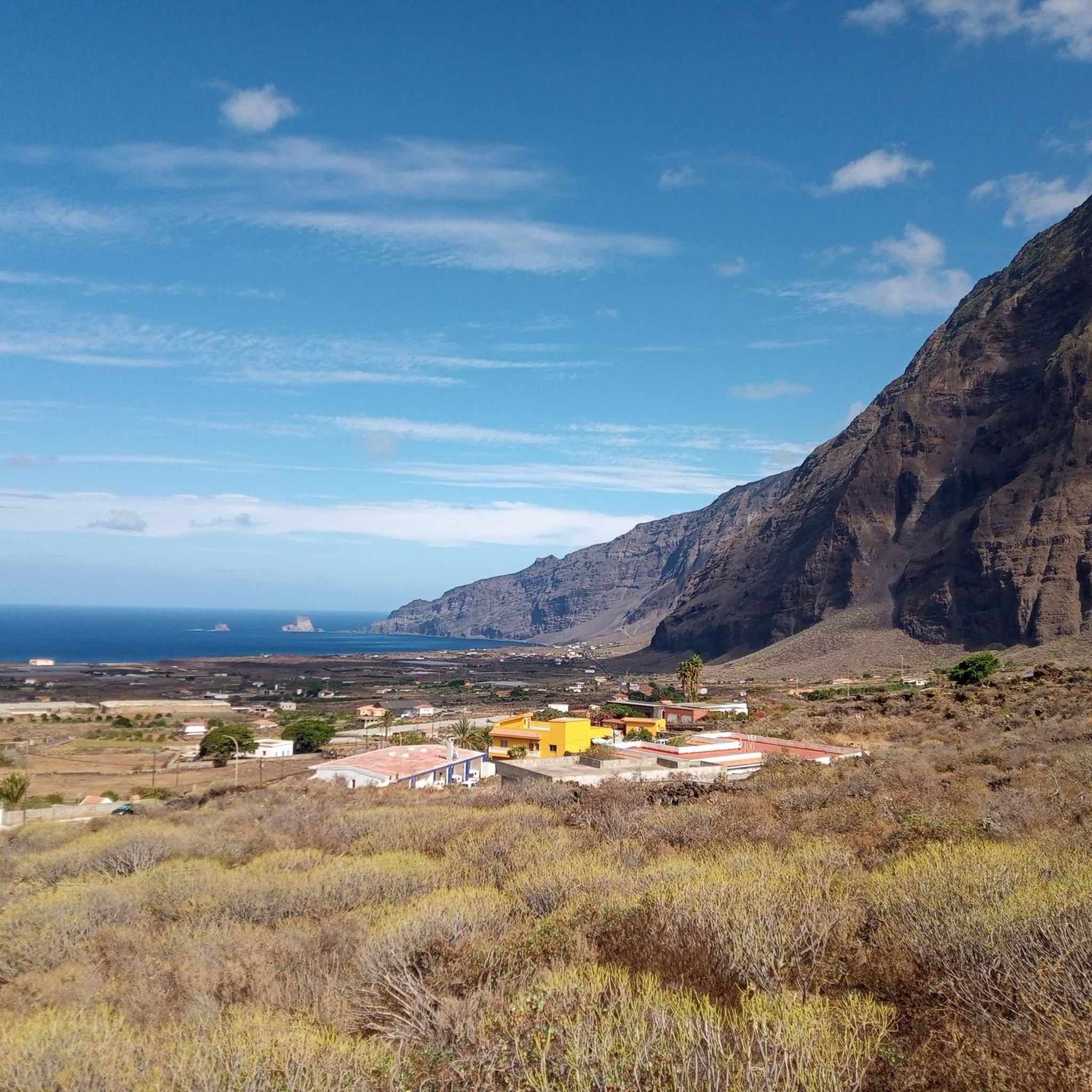
Hiking around Frontera
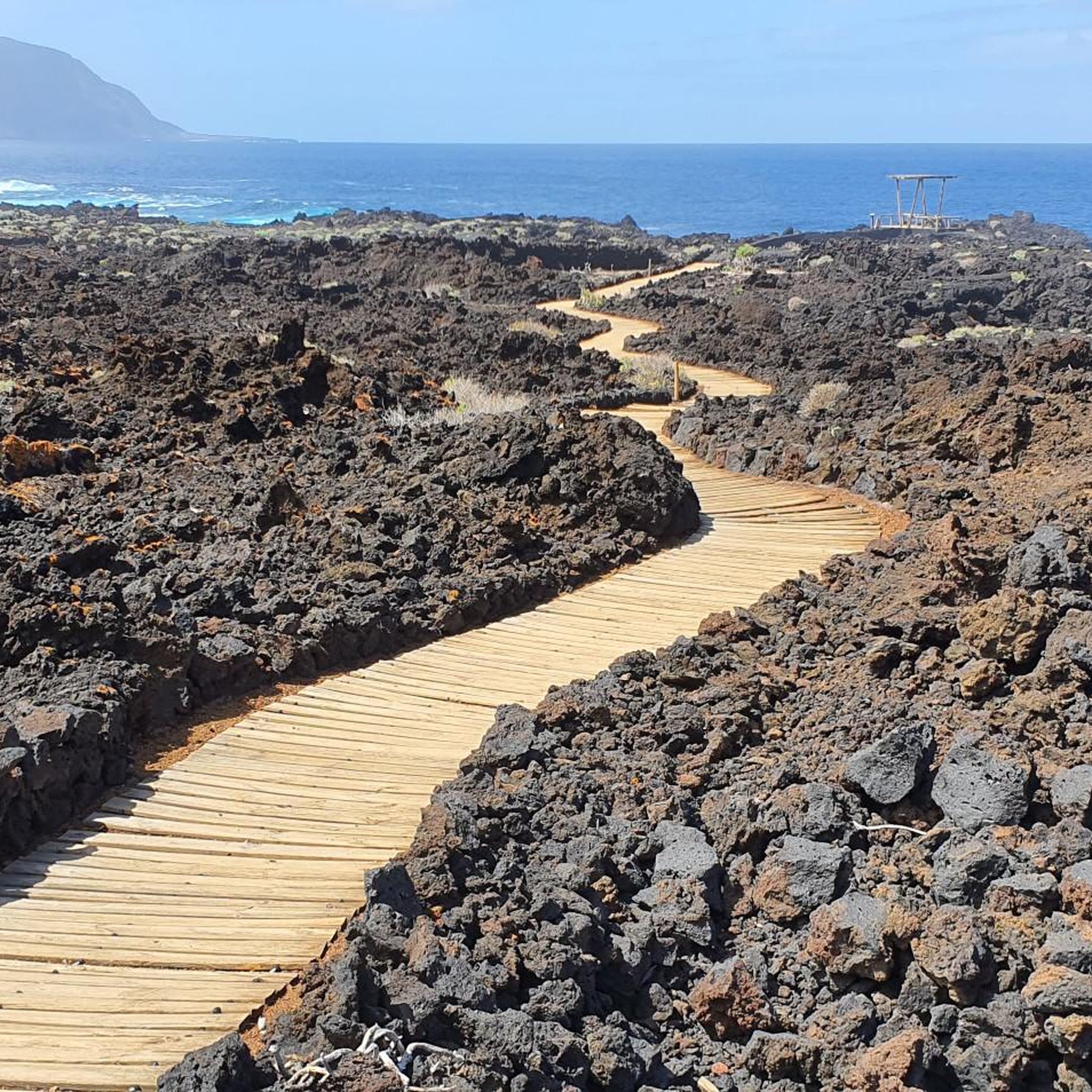
Running Trails around Frontera
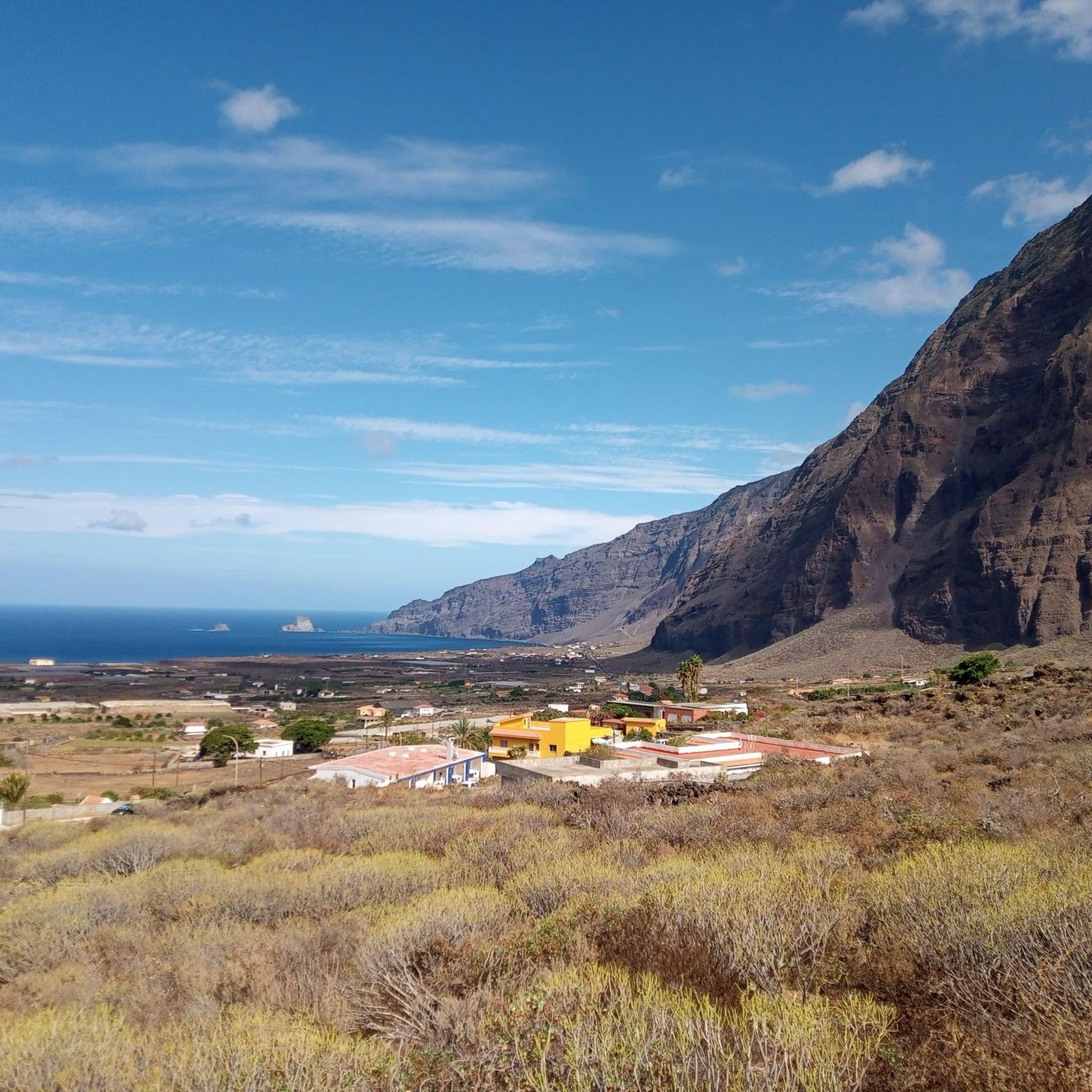
Road Cycling Routes around Frontera
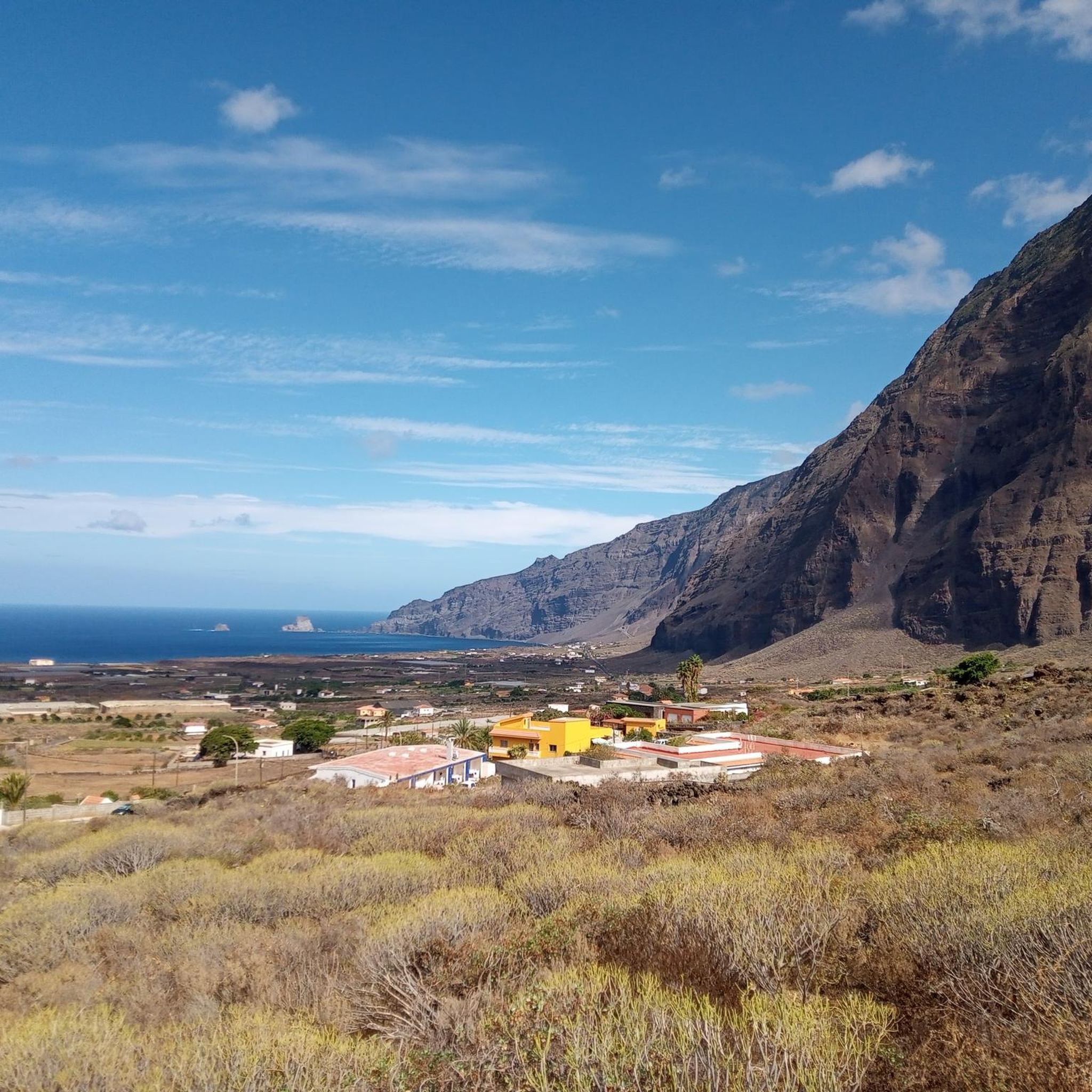
Cycling around Frontera
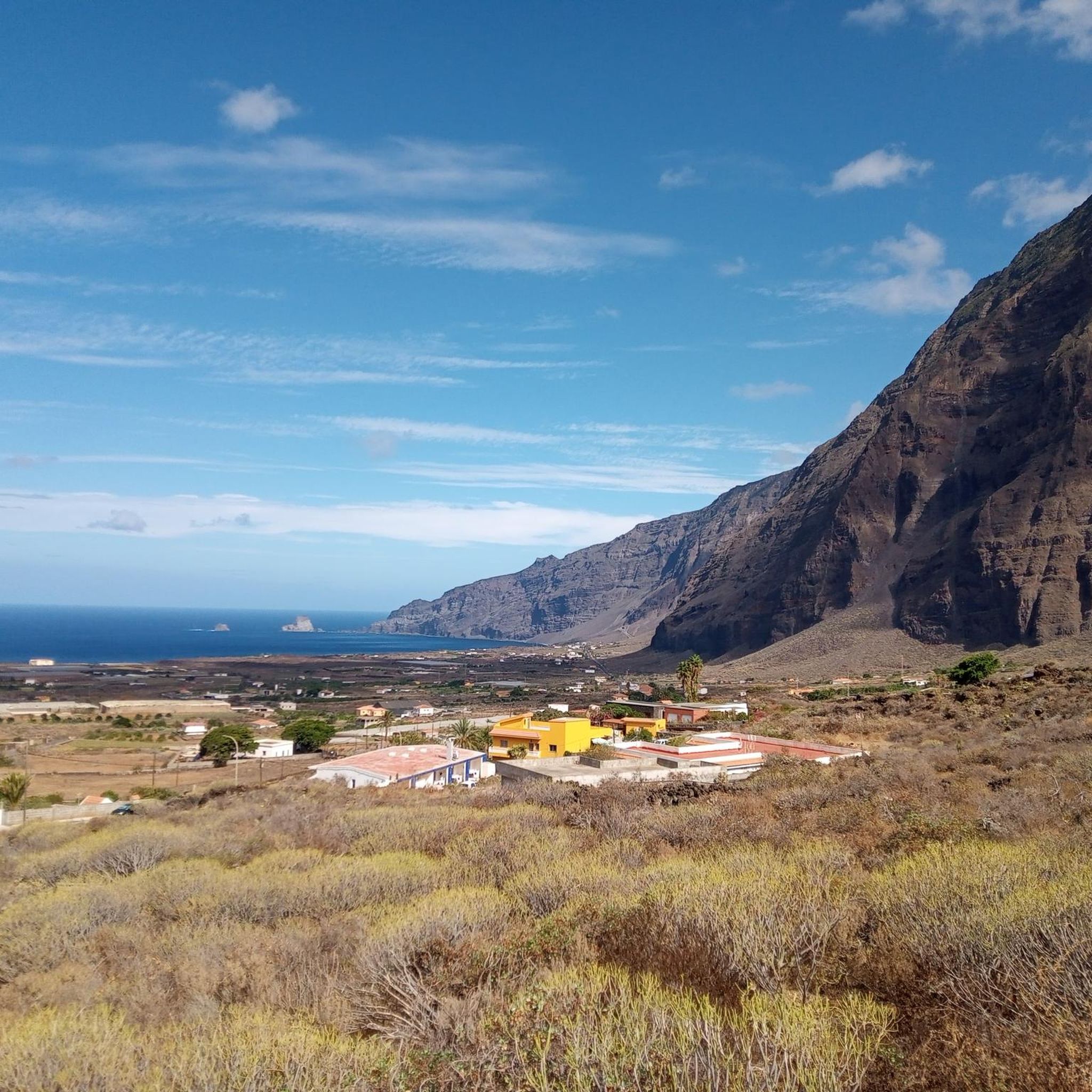
MTB Trails around Frontera
Other adventures around Frontera


Tips from the Community

https://www.youtube.com/watch?v=wBb_L8WeVfg The Malpaso volcano is the highest point on the island of El Hierro. Malpaso has a height of approximately 1,501 meters above sea level. Although it is a volcano, Malpaso has been dormant for many years. The island of El Hierro, in general, is known for its volcanic activity, the most recent being the underwater eruption near La Restinga in 2011. There are several routes leading to the top, offering stunning views of the island and, on clear days, the neighboring islands. The area around Malpaso is rich in flora and fauna, including endemic species and laurel forests, a type of subtropical humid forest that is rare and protected. From the top, you can get panoramic views of the entire island, including the coastline and the Atlantic Ocean. On clear days, you can see the neighboring islands of La Palma, La Gomera and Tenerife.
2
0
https://www.youtube.com/watch?v=saZcPA9O95 It is a place on the summit, at about 1354 m altitude, and practically in the geographical center of the island. It is a private facility, maintained thanks to the efforts of a few astronomy fans residing on the island.
1
0

The peak of Malpaso is the highest prominence on the island of El Hierro. From its 1501 meters high there is a colossal view of the mountain ridge that surrounds the El Golfo valley. Simply spectacular!
1
0

This is also a good place to stay overnight with a van
0
2
what a beautiful place....can be very windy..be sure to bring warm clothes
1
0

Surveillance point near the top of Montaña Bermeja (or Vermeja) which also has a very good panoramic view of Las Playas.
0
0

Beautiful mountain very close to La Restinga
1
1
Magnificent views over the Golfo
0
0
Frequently Asked Questions
What are some of the most notable mountain peaks around Frontera, El Hierro?
The region around Frontera on El Hierro, a UNESCO World Biosphere Reserve, offers several impressive peaks. The highest point on the island is Malpaso Peak, standing at 1,501 meters, offering panoramic views across the island and to neighboring islands on clear days. Other significant summits include Pico de Mercadel, known for its beautiful views amidst pines and mountains, and Pico Ventejís Summit, which provides a promising view of the harbor at 1,139 meters above sea level.
What kind of natural features can I expect to see on the mountain peaks of El Hierro?
El Hierro's mountain peaks are characterized by dramatic volcanic landscapes, impressive cliffs, and ancient forests. You'll encounter diverse terrain, from sea level to high summits. For example, Malpaso Peak is surrounded by laurel forests and endemic flora, while Pico de Mercadel is set amidst pines. You can also find ancient volcanic cones like Montaña Puerto de Naos, offering lovely coastal views.
Are there any viewpoints or observatories on the peaks around Frontera?
Yes, there are several excellent viewpoints. The Observatorium, located at about 1,354 meters, is practically in the geographical center of the island and offers magnificent views over the Golfo valley. Many peaks, including Malpaso Peak, Pico de Mercadel, and Pico Ventejís Summit, are also renowned for their panoramic vistas.
What outdoor activities can I do near the mountain peaks around Frontera?
Beyond hiking to the summits, the region offers a variety of outdoor activities. You can explore numerous cycling routes, including challenging road cycling tours like the "Valverde, la Caldereta, and San Andrés – loop around Montañita del Guanche de Abajo" or the "El Hierro Grand Tour." For touring cyclists, options like the "Malpaso and El Sabinar Loop Trail" are available. Trail running enthusiasts can enjoy routes such as "El Sabinar de La Dehesa – trail running circular" or the "La Restinga - Pozo de la Salud Trail." You can find more details on these activities in the Road Cycling Routes around Frontera, Cycling around Frontera, and Running Trails around Frontera guides.
Are there family-friendly mountain trails or easy peaks to access in the Frontera region?
While many trails on El Hierro can be intermediate to difficult due to the volcanic terrain, some areas offer more accessible experiences. For specific easy mountain peaks, it's best to check individual trail descriptions. However, for a general outdoor activity, the "Sendero Arenas Blancas a El Verodal – trail running circular" is listed as an easy route, which might be suitable for families looking for a less strenuous walk. Always check the difficulty and length of a route before heading out with children.
What is the best time to visit the mountain peaks of El Hierro?
El Hierro enjoys a mild climate year-round, making its mountain peaks accessible for most of the year. However, for the clearest panoramic views from summits like Malpaso Peak, it's advisable to visit on clear days, as clouds can sometimes obscure the vistas, especially at higher elevations. Spring and autumn generally offer pleasant temperatures for hiking, avoiding the hotter summer months and potential winter storms.
What kind of wildlife can be found in the mountains around Frontera?
The area around Malpaso Peak is particularly rich in flora and fauna, including endemic species. The laurel forests, a rare and protected type of subtropical humid forest, provide a unique habitat. While specific large mammals are not common, you can expect to see a variety of birds, insects, and unique plant life adapted to the volcanic environment and the island's distinct ecosystems.
What makes the mountain peaks of El Hierro unique compared to other regions?
El Hierro's mountain peaks are unique due to their dramatic volcanic origins and the island's status as a UNESCO World Biosphere Reserve. The landscape features impressive cliffs, ancient forests, and a diverse terrain that ranges from sea level to high summits. The island's geology, including dormant volcanoes like Malpaso Peak and ancient volcanic cones such as Montaña Puerto de Naos, offers a distinct experience compared to other mountainous regions.
Are there any historical or cultural points of interest near the mountain peaks?
While the focus of the peaks themselves is primarily natural beauty, the island of El Hierro has a rich history. The term 'Frontera' itself often indicates historical border regions. The island's unique culture and traditions are intertwined with its natural landscape. For instance, the local name 'Mercadel' for Pico de Mercadel is believed by some to have pre-Hispanic origins, reflecting the deep history of the island's inhabitants.
What do visitors enjoy most about the mountain peaks around Frontera?
Visitors consistently praise the breathtaking panoramic views, especially from high points like Malpaso Peak, which offers colossal vistas of the El Golfo valley and, on clear days, neighboring islands. The unique volcanic landscapes, the sense of being in a wild and unspoiled natural environment, and the diverse hiking opportunities are also highly appreciated. The Observatorium is also noted for its magnificent views.
Can I find circular hiking routes in the Frontera mountain region?
Yes, the region offers various circular routes for different activities. For trail running, you can find options like "El Sabinar de La Dehesa – trail running circular." While specific circular hiking routes directly to the peaks are best checked on individual trail maps, many of the longer cycling routes, such as the "Valverde, la Caldereta, and San Andrés – loop around Montañita del Guanche de Abajo," are designed as loops, offering comprehensive exploration of the area's diverse terrain.
Most popular attractions around Frontera

Get inspired with the komoot mobile app


Explore more
See even more amazing summits around Frontera with these guides:
