The 9 Most Amazing Peaks around Carrión De Calatrava
Best mountain peaks around Carrión De Calatrava are situated within the Campo de Calatrava region, known for its historical and archaeological significance. This area features an undulating landscape with elevated points and hills rather than towering mountains. Carrión de Calatrava itself is at an altitude of 615 meters, with surrounding elevated features offering scenic views. The region provides opportunities to explore its natural landscape and appreciate its cultural heritage.
Best mountain peaks around Carrión De Calatrava
- The most popular mountain…
Last updated: August 14, 2026
Churri Summit
Highlight • Summit
Translated by Google •
Tip by

Plaza de los Moros Summit
Highlight • Summit
Translated by Google •
Tip by

Sign up now to discover places like this
Get recommendations on the best single tracks, peaks, & plenty of other exciting outdoor places.
Sign up for free
Castillejos Geodetic Vertex
Highlight • Summit
Translated by Google •
Tip by
Path to El Gigante
Highlight • Summit
Translated by Google •
Tip by
Cerro Mendicuti
Highlight • Summit
Translated by Google •
Tip by
Sign up for free to discover even more peaks around Carrión De Calatrava.
Sign up for free
Already have an account?
Start today with a free account
Your next adventure awaits.
Login or Signup

Tips from the Community

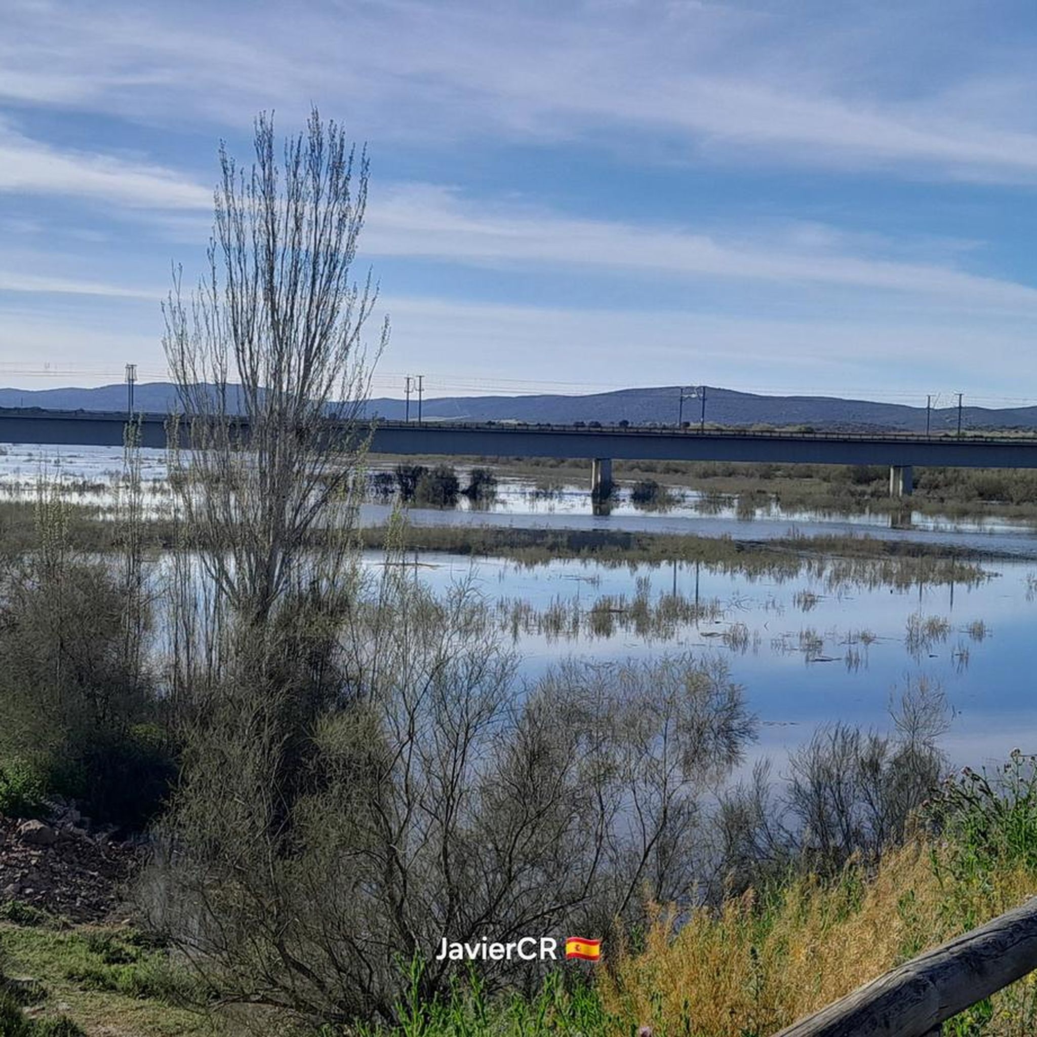
Relaxing viewpoint to take a break and contemplate the views.
1
0

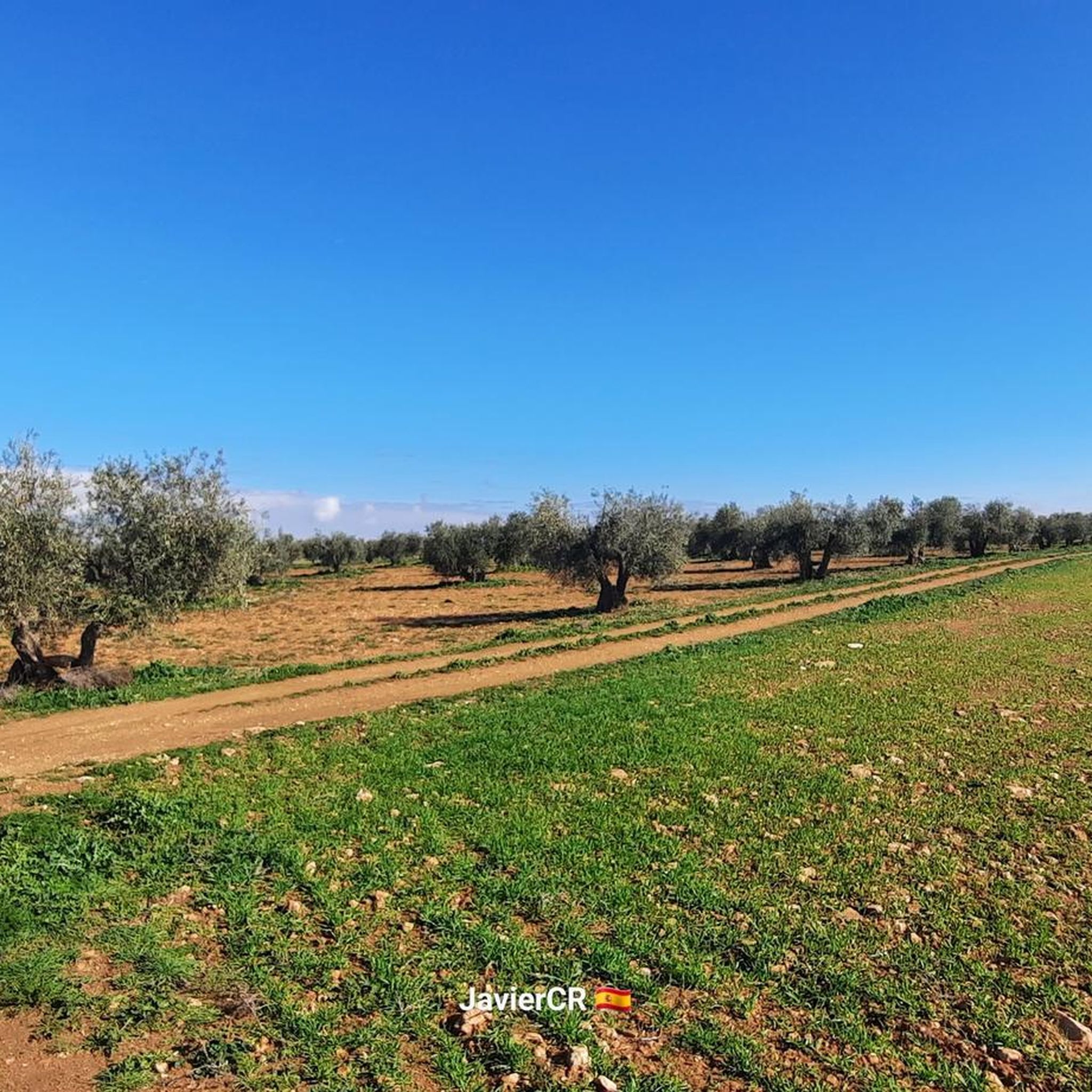
Cerro Mendicutí is a town located in Almagro, in the province of Ciudad Real, Castilla-La Mancha. This hill is located near other towns such as Cerro Domingo and Cañada de los Guacheros. It is known for its landscape and geographical importance in the region.
21
0
Climbing to the top has its complexity, as does the descent, so take it with caution. But good views of Fernan Caballero and a little further away Malagón.
20
0
The Sierra del Gigante is a ridge in Castilla-La Mancha and has an altitude of 785 meters. It is located near the town of Fernan Caballero.
22
0

Above the town of Malagón we find this mountain range that bears the same name, the Sierra de Malagón. From the top you can see incredible views not only of the center but also of Las Navas de Malagón.
0
0

The Plaza de los Moros is one of the two important peaks of the Sierra de Malagón trail. The other peak is Cerro Amarillo and it is a short distance down the same trail from here. It's all uphill up here, but the views are the reward.
2
0
The same is the highest point of Ciudad Real, on the Camino de los Caballeros, which is in good condition, but it is not possible to access the same vertex as it is fenced. Good views of C. Real
57
0
Frequently Asked Questions
What are the most popular mountain peaks around Carrión De Calatrava?
The most popular peaks in the region, appreciated by the komoot community, include Churri Summit, known for its panoramic views, and Castillejos Geodetic Vertex, which is the highest point in Ciudad Real and offers excellent vistas. Another favorite is Plaza de los Moros Summit, providing incredible views from the Sierra de Malagón trail.
Are there family-friendly mountain walks near Carrión De Calatrava?
While specific 'family_friendly' tags aren't prominent, many of the elevated areas offer accessible paths for walks. For instance, the areas around Cerro Palominos provide a pleasant natural environment with various routes suitable for different fitness levels, which can include easier options for families. The archaeological park at Cerro de Alarcos also offers an engaging walk with historical context.
What kind of natural features can I expect to see from these peaks?
From the peaks around Carrión De Calatrava, you can expect extensive panoramic views of the surrounding towns, agricultural lands, and the diverse natural landscapes of the Campo de Calatrava region. This area is characterized by a unique volcanic landscape with over 300 volcanic structures, lagoons, wetlands, and sedimentary plains. You'll also see Mediterranean scrubland, holm oak groves, and potentially natural reservoirs like the Embalse de Vicario.
Are there historical or cultural sites associated with the mountain peaks in the region?
Yes, the region blends outdoor activity with cultural exploration. Plaza de los Moros Summit is part of the Sierra de Malagón, where trails sometimes incorporate historical sites. Notably, Cerro de Alarcos is a significant archaeological park with Iberian remains, a medieval city, castle ruins, and the hermitage of Nuestra Señora de Alarcos, offering a rich historical experience alongside natural views.
What outdoor activities can I do near these mountain peaks?
The elevated areas and peaks around Carrión De Calatrava are excellent for various outdoor activities. You can enjoy hiking, mountain biking, and running on numerous trails. For specific routes, explore the Running Trails around Carrión De Calatrava, Gravel biking around Carrión De Calatrava, and Cycling around Carrión De Calatrava guides.
Are there challenging hikes for experienced trekkers?
Yes, some areas offer more challenging routes. The ascent to Plaza de los Moros Summit is described as challenging but highly rewarding. Similarly, the path to Path to El Gigante, leading to the Sierra del Gigante, has its complexities for both ascent and descent, making it suitable for those seeking a more strenuous trek.
What is the best time of year to visit the peaks around Carrión De Calatrava?
The region experiences a Mediterranean climate. Spring (March to May) and autumn (September to November) generally offer the most pleasant temperatures for hiking and outdoor activities, avoiding the intense heat of summer and potential chill of winter. These seasons also showcase the natural beauty of the landscape with blooming flora or autumnal colors.
What are the highest points in the region offering the best views?
For impressive vistas, Castillejos Geodetic Vertex is notable as the highest point in Ciudad Real along the Camino de los Caballeros, providing excellent views. The Sierra del Gigante, reaching an altitude of 785 meters, also offers an elevated perspective of the region. Churri Summit provides good panoramic views across Miguelturra, Ciudad Real, and towards Carrión de Calatrava.
Are there any tips for beginners hiking in this area?
Beginners should look for trails with moderate difficulty ratings. Many routes around Cerro Palominos offer a pleasant natural setting with varying levels of difficulty, making it a good starting point. Always check weather conditions, wear appropriate footwear, carry water, and consider shorter, well-marked paths initially. The region's volcanic landscape can present varied terrain, so be prepared for some uneven ground.
What wildlife might I encounter on the trails?
The natural environment around these peaks, including Mediterranean scrubland and forests of *Quercus* species, supports local flora and fauna. While specific wildlife sightings can vary, you might encounter various bird species, small mammals, and reptiles typical of the Castilla-La Mancha region. On clearer, wetter days, from spots like Plaza de los Moros Summit, you might even glimpse the Las Navas Natural Reserve, known for its volcanic lagoons and associated wetland wildlife.
Are there any circular walking routes available?
Yes, the region offers several circular routes. For example, the Sierra de Malagón trail, which includes Plaza de los Moros Summit, features a popular 22.4 km circular route. You can find more options in the Running Trails around Carrión De Calatrava guide, such as the 'Natural path of the Guadiana through the El Vicario Reservoir — circular through Peralvillo'.
Where can I find panoramic views of the surrounding towns?
For expansive views of the surrounding towns, Churri Summit offers good panoramas stretching across Miguelturra, Ciudad Real, and towards Carrión de Calatrava. Castillejos Geodetic Vertex also provides excellent views of Ciudad Real. Additionally, the ascent to Cerro de Alarcos offers strategic views of the surrounding plains and the Guadiana River.
Most popular routes around Carrión De Calatrava
Most popular attractions around Carrión De Calatrava

Get inspired with the komoot mobile app


Explore more
See even more amazing summits around Carrión De Calatrava with these guides:
