The best running trails around Carrión De Calatrava
4.8
(80)
1,114
runners
146
runs
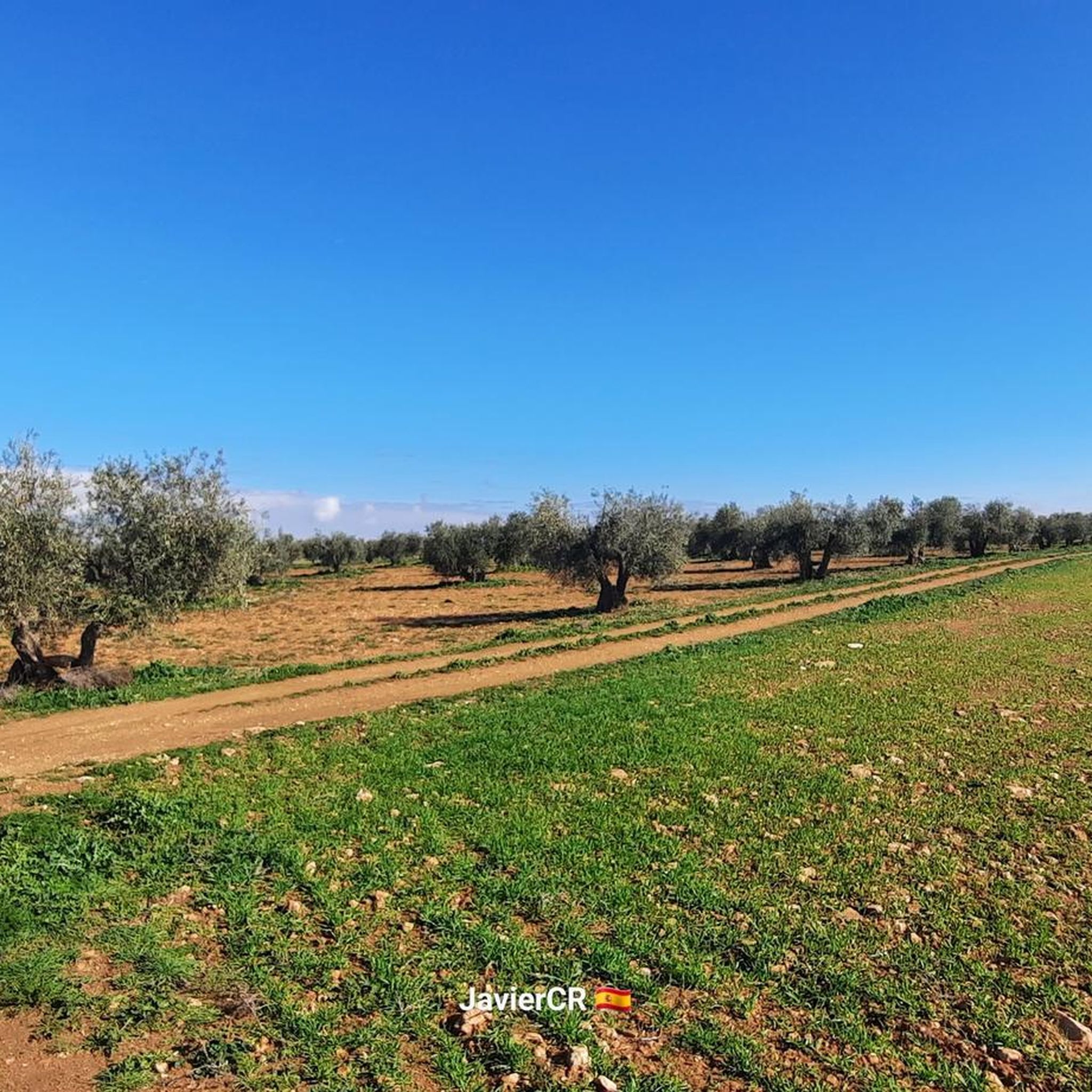
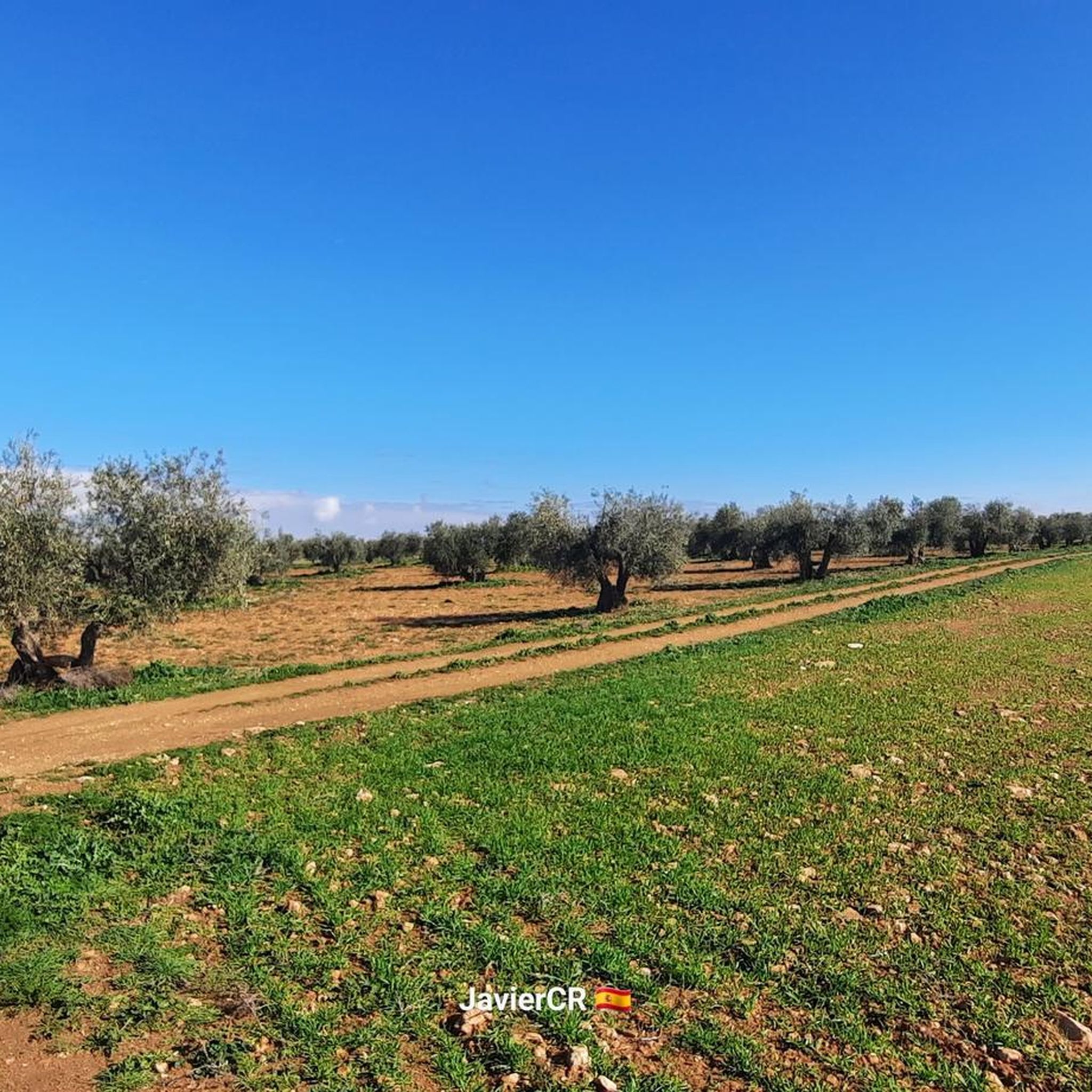
Jogging routes around Carrión De Calatrava benefit from a diverse landscape, characterized by predominantly flat terrain with gentle undulations. The area features the Guadiana River and its banks, offering refreshing riverside paths, alongside natural water bodies like the Embalse del Vicario and Laguna de Romaní. Historical elements such as the Puente de Hierro, transformed into a "vía verde," provide dedicated, often flat running paths away from traffic.
Best jogging routes around Carrión De Calatrava
- The most popular jogging route is…
Last updated: August 21, 2026
1
runners
Moderate run. Good fitness required. Mostly paved surfaces. Suitable for all skill levels.
4.0
(1)
26
runners
13.9km
01:45
210m
210m
Moderate run. Good fitness required. Mostly paved surfaces. Suitable for all skill levels.

Sign up for free
15
runners
6.78km
00:49
100m
100m
Moderate run. Good fitness required. Mostly paved surfaces. Suitable for all skill levels.
11
runners
9.01km
01:01
30m
30m
Moderate run. Good fitness required. Mostly paved surfaces. Suitable for all skill levels.
7
runners
8.02km
00:59
130m
130m
Moderate run. Good fitness required. Mostly paved surfaces. Suitable for all skill levels.
Get access to more routes and recommendations from other explorers.
Sign up for free
Already have an account?
Our route recommendations are based on thousands of hikes, rides, and runs completed by other people on komoot.
Start today with a free account
Your next adventure awaits.
Login or Signup

Tips from the Community

The banks of the El Vicario Reservoir, located about 15 km from Ciudad Real, are a perfect place to enjoy nature, sports, and tranquility. El Vicario Reservoir and Dam Built in 1973 on the Guadiana River, it's ideal for walking and admiring the aquatic landscape. Viewpoints and Birdwatching There are strategic spots for observing waterfowl and local wildlife. Bring binoculars if you enjoy birdwatching.
3
0
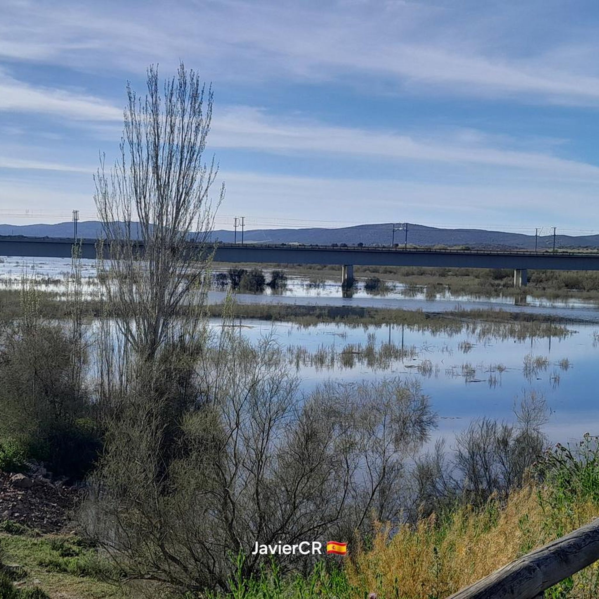
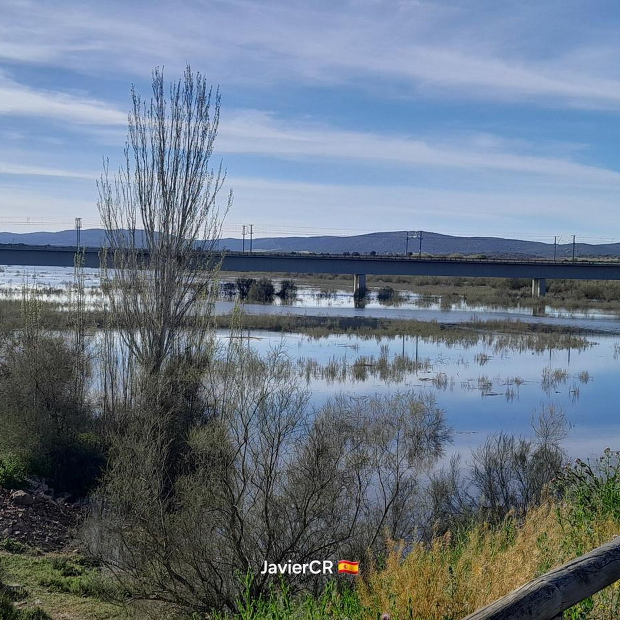
The Iron Bridge over the Guadiana River, also known as the Austrias Bridge, is a significant engineering work in the history of Ciudad Real and the region of Castilla-La Mancha. It was built to be part of the railway line that connected Ciudad Real with Badajoz, being an important route for transport and communication in the first half of the 20th century. The construction of the bridge began in 1921 and was completed in 1927. Its design and construction were carried out by the company Material para Ferrocarriles y Construcciones S.A., which used advanced techniques for the time. The bridge is made up of an iron metal structure, supported by masonry pillars, which gives it its characteristic name. During the Spanish Civil War, the bridge played a strategic role and was damaged due to its importance for the movement of troops and supplies. It was later repaired and continued in use until the railway line was decommissioned in the 1960s. Today, the Iron Bridge is a protected monument and a testament to the region's industrial heritage. It is a popular place for walks and hiking trails, allowing visitors to appreciate both its historical value and the natural views of the Guadiana River and its surroundings.
17
0

It is a place full of history, with a special charm. Formerly this bridge was part of the railway line that connected Ciudad Real with Madrid. At the beginning of the nineties it stopped being used as it did not meet the conditions to support the new AVE route between the capital and Seville. After its conditioning for use as a greenway, it is an attractive pedestrian crossing point to cross the Guadiana River at the height of the Vicario reservoir, next to the Miguelturreña district of Peralvillo, especially when we can see water flowing through its channel, something uncommon in dry season. Ideal for taking photos and admiring its imposing structure.
3
0

Beautiful seen from below and with water as before.
4
0
Leaving Ciudad Real, take a left turn to go up to the Atalaya forest park.
38
0

Path that runs along the banks of the Río Guadiana and is part of the Vicario Reservoir itself. There are ancient ruins or spaces that had been important in past times.
1
0
This small town called Peralvillo, which is located between the meanders of the Río Guadiana itself, at one of its ends and with views of the river, is where the white hermitage of San Marcos is located. There are benches and shade from the heat.
2
0
Frequently Asked Questions
How many running routes are available in Carrión de Calatrava?
There are over 120 running routes around Carrión de Calatrava, offering a wide variety of options for different preferences and fitness levels. These include easy, moderate, and more challenging trails.
What kind of terrain can I expect on the jogging routes around Carrión de Calatrava?
The terrain is quite diverse, characterized by predominantly flat areas, especially near the Guadiana River, but also features gentle undulations and small hills. You'll find a mix of riverside paths, greenways, and trails with modest elevation gains, providing options from comfortable jogs to more strenuous runs.
Are there any easy or beginner-friendly running paths in the area?
Yes, Carrión de Calatrava offers several easy jogging routes, with about 10 trails specifically categorized as easy. These paths are generally flat and well-suited for beginners or those looking for a relaxed run. Many of the riverside paths along the Guadiana River are also relatively flat and accessible.
Can I find routes with historical landmarks or natural attractions?
Absolutely! Many routes incorporate natural beauty and historical sites. For instance, you can run along the Guadiana River, near the Vicario Dam, or explore areas close to the Iron Bridge over the Guadiana River, which is part of a greenway. The region also features natural water bodies like the Embalse del Vicario and Laguna de Romaní, enhancing the scenic experience.
Are there any circular running routes?
Yes, many of the running routes in Carrión de Calatrava are circular, allowing you to start and end at the same point. An example is the Natural path of the Guadiana through the El Vicario Reservoir — circular through Peralvillo, which offers scenic views along the river and reservoir.
What are the options for parking near the trailheads?
While specific parking details for every trailhead are not always listed, many routes in Carrión de Calatrava, especially those starting near urban areas or popular attractions like the Puente de Hierro or Baños de los Hervideros, typically have accessible parking options. It's advisable to check the individual route details on komoot for specific parking recommendations.
Is public transport available to access the running trails?
Carrión de Calatrava is a town with local public transport connections. While direct public transport to every single trailhead might be limited, you can often reach central points in the town or nearby villages via bus, and then access trails from there. For routes further afield, personal transport is generally more convenient.
Are the running trails in Carrión de Calatrava suitable for families?
Yes, many of the flatter and shorter routes, particularly those along the Guadiana River or the greenways, are suitable for families. These paths offer a safe and enjoyable environment for all ages. Look for routes categorized as 'easy' for the most family-friendly options.
Are there dog-friendly running routes in Carrión de Calatrava?
Most natural trails and greenways in the Carrión de Calatrava area are generally dog-friendly, provided dogs are kept on a leash and owners clean up after them. The region's rich natural environment makes it a great place to run with your canine companion. Always check local regulations or signage for specific restrictions in protected areas.
What is the best time of year to go jogging in Carrión de Calatrava?
The best times for jogging in Carrión de Calatrava are typically spring and autumn when temperatures are milder and the natural scenery is vibrant. Summers can be quite hot, so early morning or late evening runs are recommended during those months. Winters are generally mild, making it possible to run year-round, though some days might be cooler.
What do other runners say about the routes in Carrión de Calatrava?
The running routes in Carrión de Calatrava are highly rated by the komoot community, with an average score of 4.6 stars from over 40 reviews. Runners often praise the diverse landscapes, the refreshing riverside paths, and the mix of flat and gently inclined surfaces that cater to various ability levels.
Are there any longer distance running trails for experienced runners?
Yes, for experienced runners seeking a longer challenge, there are several routes exceeding 10 km. For example, the La Atalaya MTB Trails – Tinaja Viewpoint loop from La Atalaya is a moderate 13.9 km path with varied terrain and panoramic viewpoints, offering a more strenuous workout.
Can I find routes that incorporate the 'vía verde' (greenway)?
Yes, the historic Iron Bridge over the Guadiana River has been transformed into a 'vía verde' (greenway) as part of the Ruta del Quijote. These greenways are excellent for jogging, offering dedicated, usually flat, and well-maintained paths away from vehicular traffic, combining historical interest with natural beauty.
Most popular routes around Carrión De Calatrava
Most popular attractions around Carrión De Calatrava

Get inspired with the komoot mobile app


Explore more
Browse the best Running Trails & Routes in other regions.
