The 4 Most Amazing Peaks around Cartosio
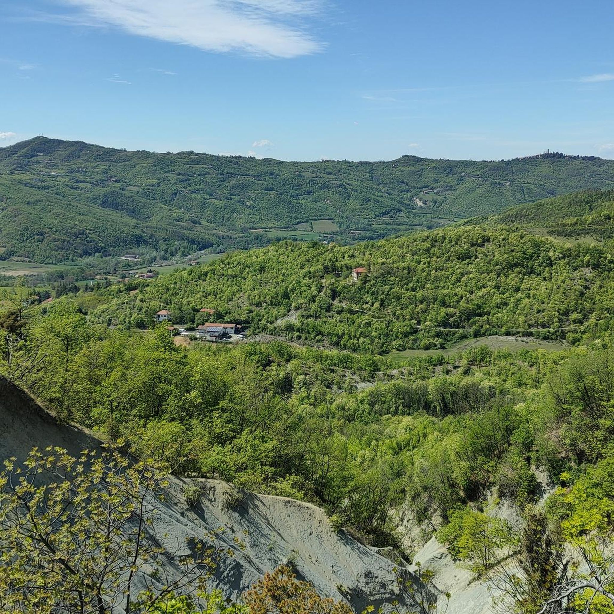
Best mountain peaks around Cartosio are found within the hilly terrain of the Ligurian Apennines' foothills in Italy's Piedmont region. The area is characterized by numerous nature trails offering scenic views rather than towering alpine peaks. Bric delle Forche, at approximately 607 meters, represents the highest point directly within the comune. The region provides diverse landscapes, including gentle hills, river valleys, and forests.
Best mountain peaks around Cartosio
- The most popular mountain peaks is Monte Marino Summit, a summit…
Last updated: June 30, 2026
Cima di Dena
Highlight • Summit
Translated by Google •
Tip by

Monte Marino Summit
Highlight • Summit
Translated by Google •
Tip by

Sign up now to discover places like this
Get recommendations on the best single tracks, peaks, & plenty of other exciting outdoor places.
Sign up for free
Monte Stregone
Highlight • Summit
Translated by Google •
Tip by
Summit shrine with panoramic view
Highlight • Summit
Translated by Google •
Tip by

Monte Stregone
Highlight • Summit
Translated by Google •
Tip by

Start today with a free account
Your next adventure awaits.
Login or Signup
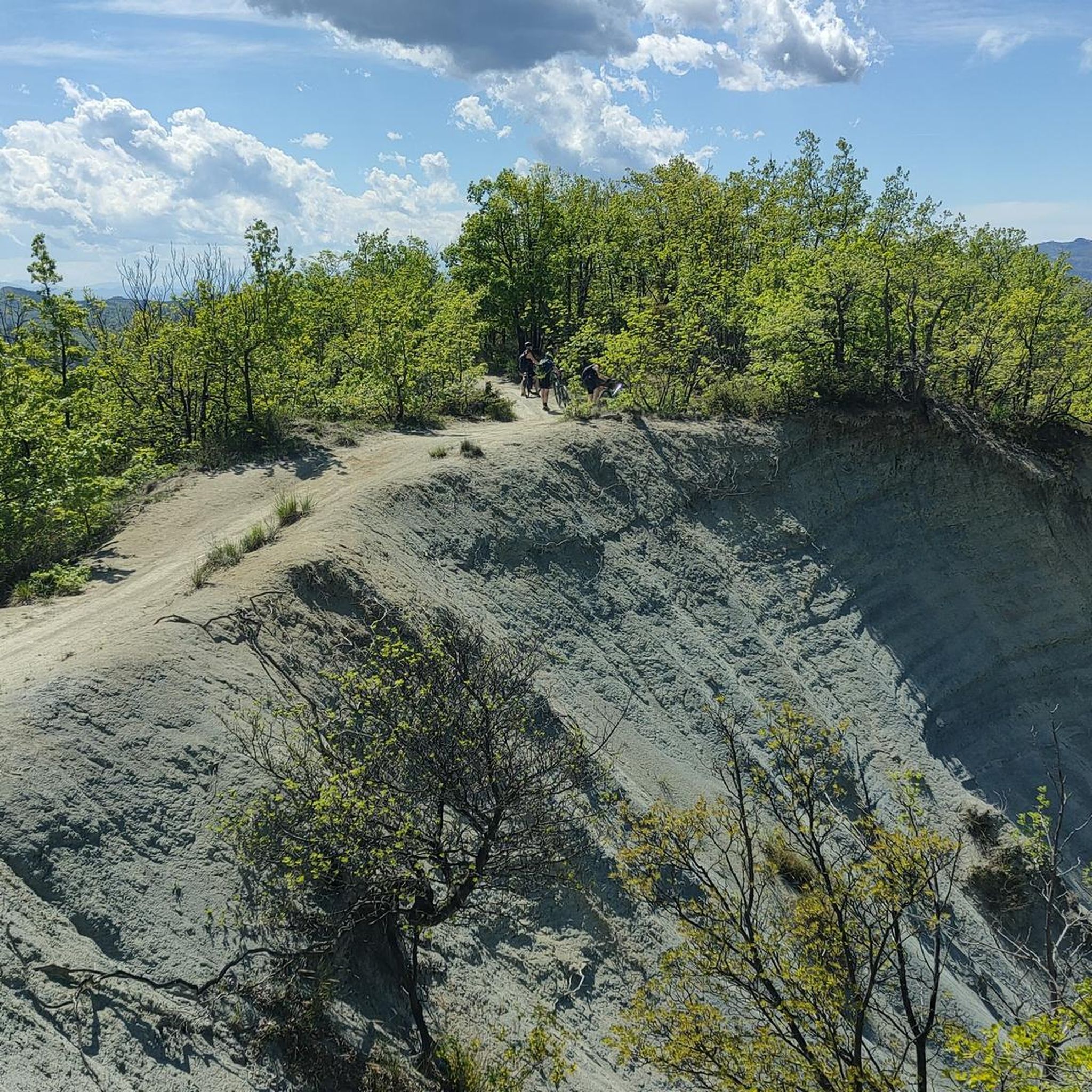
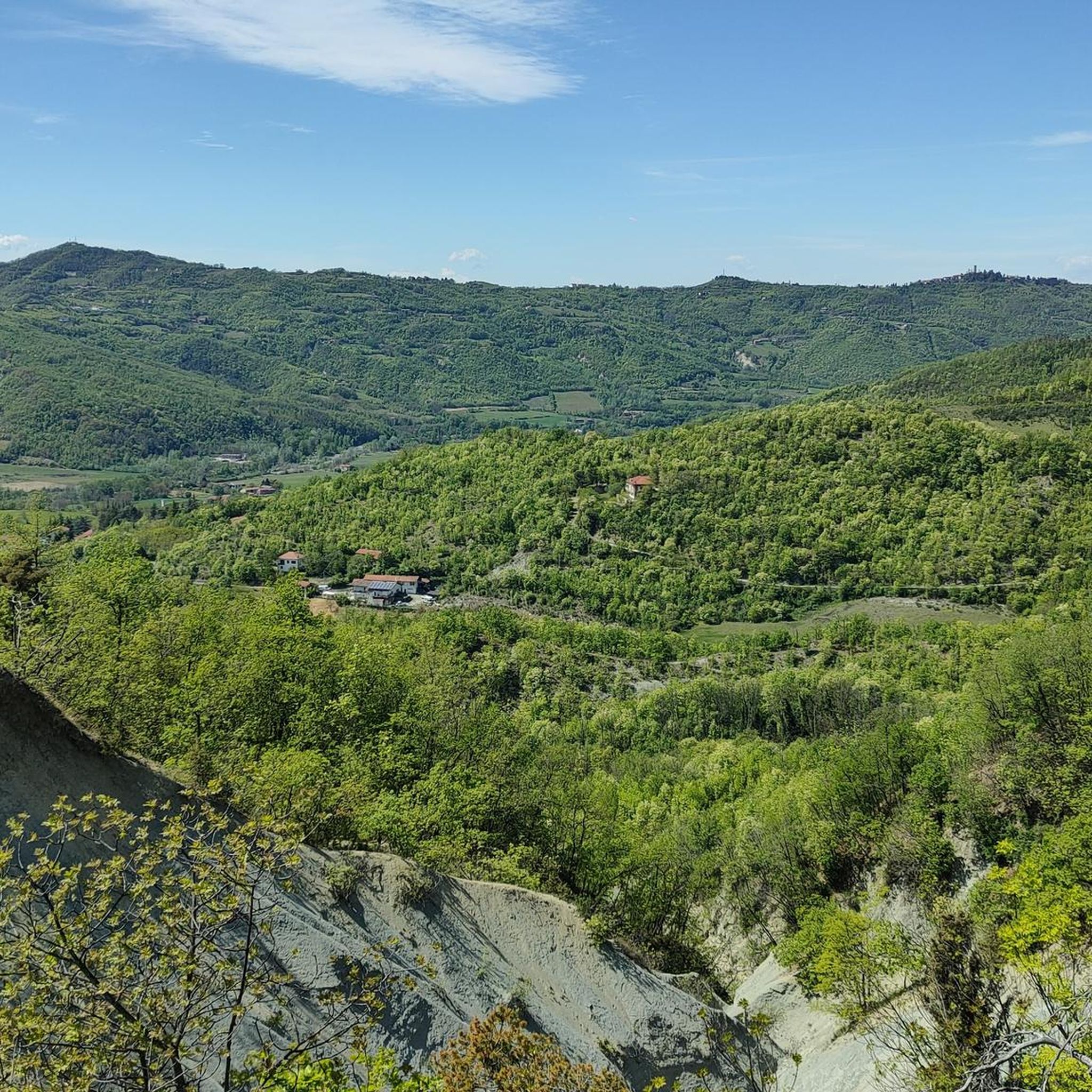
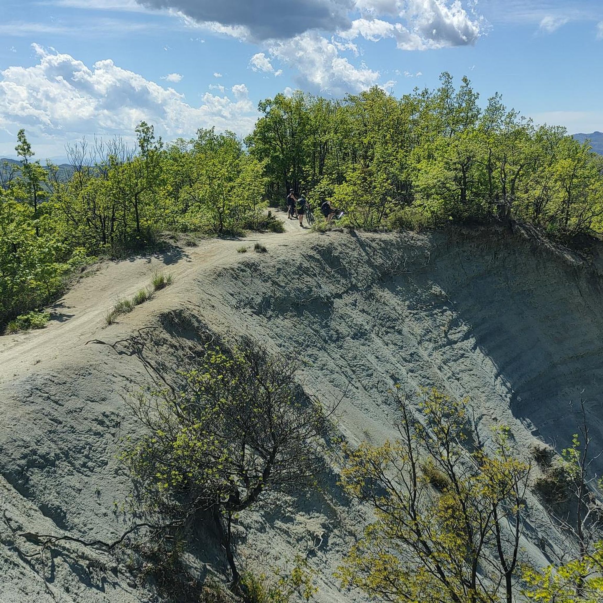
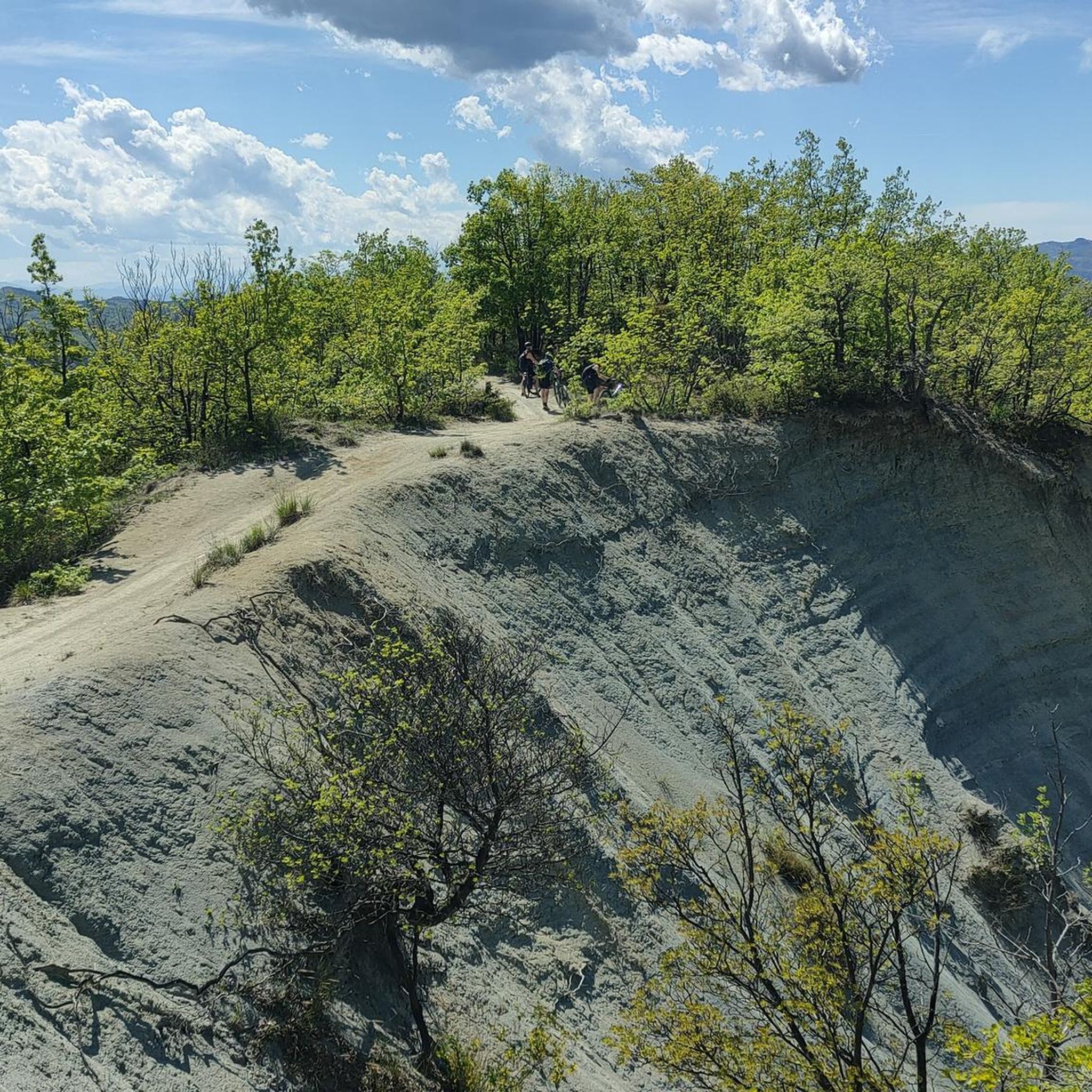

Tips from the Community

Cima di Déiva (707 m) is an inconspicuous peak that rises between the main branch of the Erro Valley and the valley of the Rio del Giovo, its tributary. It is not the highest peak in this buttress, but it gives its name to the small mountain subgroup to which it belongs. The northern portion of the subgroup, near Sassello, is home to the Déiva State Forest.
8
0

Short but sharp climb that goes up to Monte Stregone and brings you back to Acqui in the Bagni area, avoiding the state road that passes through Visone. Killer slopes but a guaranteed spectacle!
0
0

It is located on top of a hill south of Acqui Terme. It can be reached both by footpath and by asphalted road.
0
0
It is located south of Acqui Terme, and after Mount Stregone. There is a summit cross, which represents its highest point.
1
0

It is located on top of a hill south of Acqui Terme. It can be reached both by footpath and by asphalted road
0
0
It is located south of Acqui Terme, and after Mount Stregone. There is a summit cross, which represents its highest point
2
0

Peace and quiet, that's what you get up there!
0
0

Wonderful panoramic view from the Alps to the Po Valley.
0
0
Frequently Asked Questions
What are the most notable peaks to explore around Cartosio?
While Cartosio is characterized by hills rather than towering mountains, you can explore several prominent elevations. Highlights include Cima di Dena, an inconspicuous peak that gives its name to a small mountain subgroup, and Monte Marino Summit, known for its summit cross. Another popular spot is Monte Stregone, which offers both footpath and asphalted road access.
What kind of views can I expect from the peaks in the Cartosio area?
The peaks and hills around Cartosio offer diverse and stunning panoramic views. From spots like the Summit shrine with panoramic view, you can enjoy expansive vistas stretching from the Alps all the way to the Po Valley. The trails generally provide scenic views of the surrounding Ligurian Apennines' foothills, gentle hills, river valleys, and forests.
Are there easy mountain hikes suitable for beginners near Cartosio?
Yes, the Cartosio area is well-suited for hikers of various skill levels, including beginners. Many trails offer gentle ascents and diverse landscapes. For example, the Castelluzzo Hill offers an easy trail with scenic views. You can find several easy hiking routes listed in the Hiking around Cartosio guide, such as the "Castelletto d'Erro Loop Trail".
Is the Cartosio area suitable for family-friendly mountain walks?
Absolutely. The region's gentle hills and well-maintained trails make it ideal for family outings. Many routes are designed to be accessible and offer opportunities to connect with nature without overly challenging terrain. The diverse landscapes, including forests and river valleys, provide an engaging environment for all ages.
Can I bring my dog on hiking trails around Cartosio?
Generally, the hiking trails in the Cartosio area are dog-friendly, allowing you to enjoy the natural beauty with your canine companion. It's always recommended to keep your dog on a leash, especially in areas with wildlife or near agricultural land, and to carry waste bags to maintain the cleanliness of the trails.
What is the best time of year to hike the peaks around Cartosio?
The best time to hike the peaks and hills around Cartosio is typically during spring (April to June) and autumn (September to October). During these seasons, the weather is mild, the landscapes are vibrant with blooming flowers or rich autumn colors, and the temperatures are comfortable for outdoor activities. Summer can also be pleasant, especially in the mornings or late afternoons, though it can get warm.
Are there any challenging climbs for experienced hikers in the Cartosio region?
While many trails are gentle, some routes offer more challenging sections. For instance, one of the Monte Stregone highlights describes a "short but sharp climb" with "killer slopes but a guaranteed spectacle!" These more demanding paths provide a good challenge for experienced hikers seeking a vigorous workout and rewarding views.
What other outdoor activities are available near the mountain peaks of Cartosio?
Beyond hiking, the Cartosio area offers excellent opportunities for cycling. You can explore numerous routes for both road cycling and gravel biking. Check out the Road Cycling Routes around Cartosio guide for options like the "Mioglia – Road through the tuff loop from Cartosio," or the Gravel biking around Cartosio guide for routes such as the "Roccaverano – Monastero Bormida loop."
Where can I find parking for hiking trails near Cartosio's peaks?
Parking availability varies by trailhead. In Cartosio and surrounding towns, you can often find public parking areas. For specific trails, it's advisable to check local signage or online resources for designated parking spots. Many routes start from or pass through villages where parking is generally accessible.
Are there cafes or places to eat near the trailheads in Cartosio?
Yes, Cartosio and its nearby towns offer various options for refreshments and meals. You'll find local cafes, trattorias, and restaurants where you can enjoy traditional Piedmontese cuisine before or after your hike. These establishments are typically located within the village centers, often a short drive or walk from many trail starting points.
What are the highest points in the Cartosio region?
The most notable elevation directly within the comune of Cartosio is Bric delle Forche, standing at approximately 607 meters (1,991 feet). Other significant points in the broader area include Cima di Dena at 707 meters, which is part of the Ligurian Apennines' foothills.
Are there historical or cultural points of interest near the peaks?
Yes, the region around Cartosio is rich in history and culture. While hiking, you might encounter historical landmarks or religious sites. For example, the Summit shrine with panoramic view offers not only stunning vistas but also a cultural point of interest. The Castelluzzo Hill trail also provides views of historical landmarks in the surrounding landscape.
Most popular attractions around Cartosio

Get inspired with the komoot mobile app


Explore more
See even more amazing summits around Cartosio with these guides:
