Top 10 Gorges around San Nazario
Canyons around San Nazario offer access to dramatic natural landscapes within the Valsugana and Brenta valleys. The region is characterized by the Brenta River carving its path through the terrain, creating various gorge-like features. These areas provide opportunities for outdoor activities such as hiking and exploring unique geological formations. San Nazario serves as a starting point for discovering these natural environments.
Best canyons around San Nazario
- The most popular canyons is Gorghi Scuri, a gorge that features a narrow…
Last updated: June 30, 2026
Corlo Dam
Highlight • Monument
Translated by Google •
Tip by

Sanctuary of the Madonna del Caravaggio at Buso
Highlight • Religious Site
Translated by Google •
Tip by

Sign up now to discover places like this
Get recommendations on the best single tracks, peaks, & plenty of other exciting outdoor places.
Sign up for free
Calieroni of Valstagna
Highlight • Natural Monument
Translated by Google •
Tip by
Oliero Caves
Highlight • Cave
Translated by Google •
Tip by

Oliero River, near the Oliero Caves
Highlight • River
Translated by Google •
Tip by

Sign up for free to discover even more gorges around San Nazario.
Sign up for free
Already have an account?
Start today with a free account
Your next adventure awaits.
Login or Signup
Popular around San Nazario
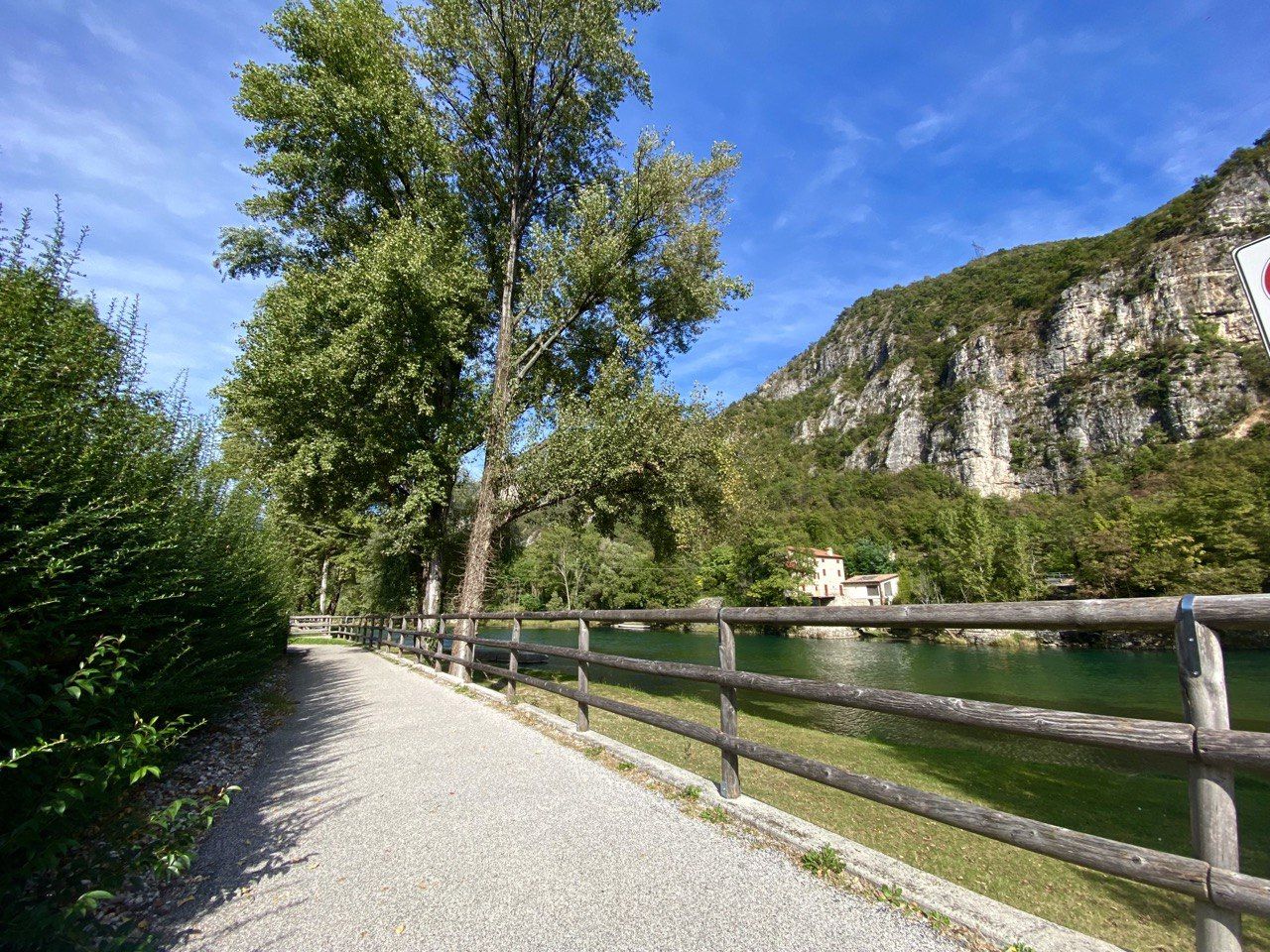
Cycle along Italy’s Brenta river – Brenta Cycle Route
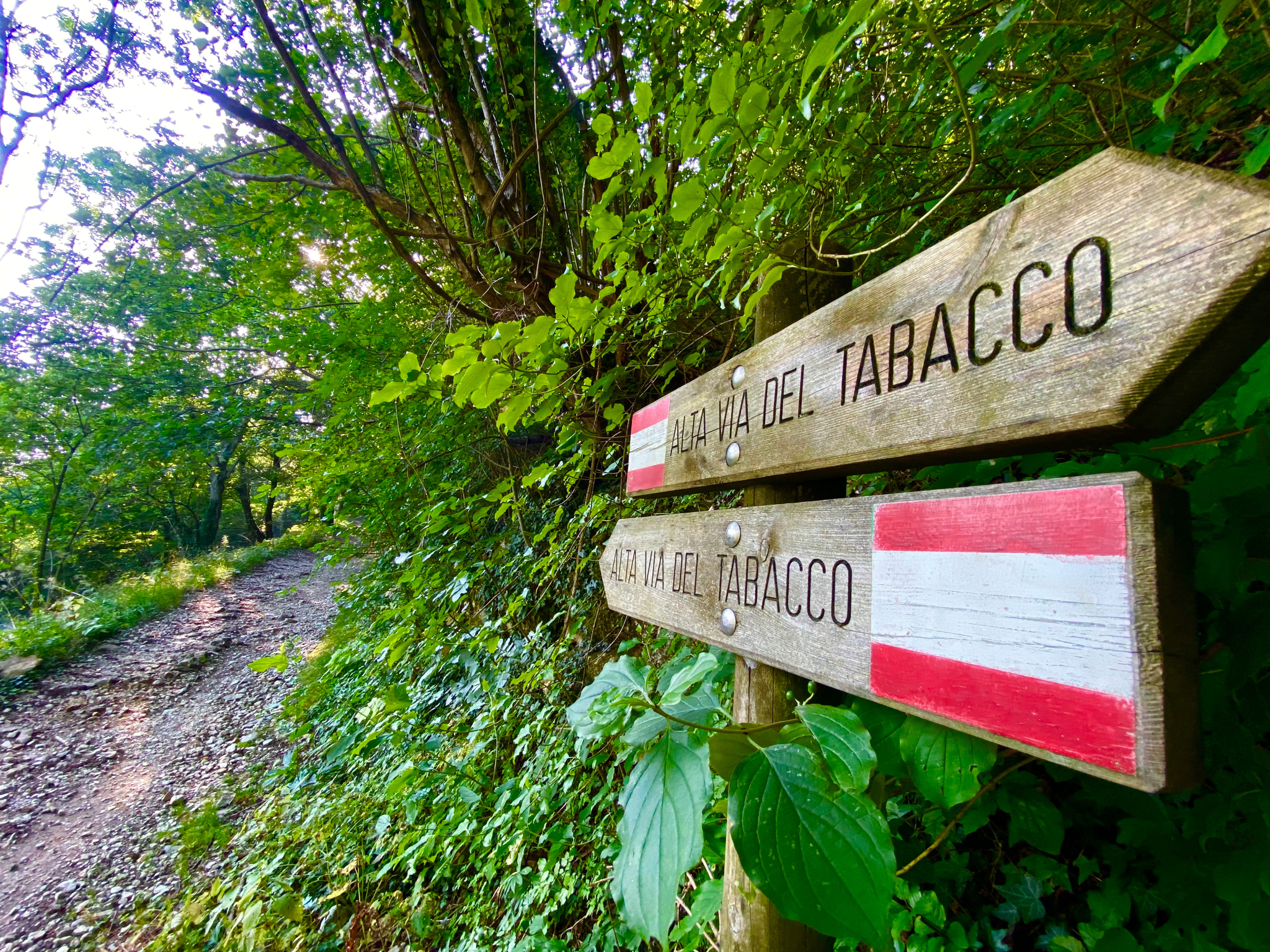
Hike an old smugglers’ road – Alta Via del Tabacco
Hiking around San Nazario
MTB Trails around San Nazario
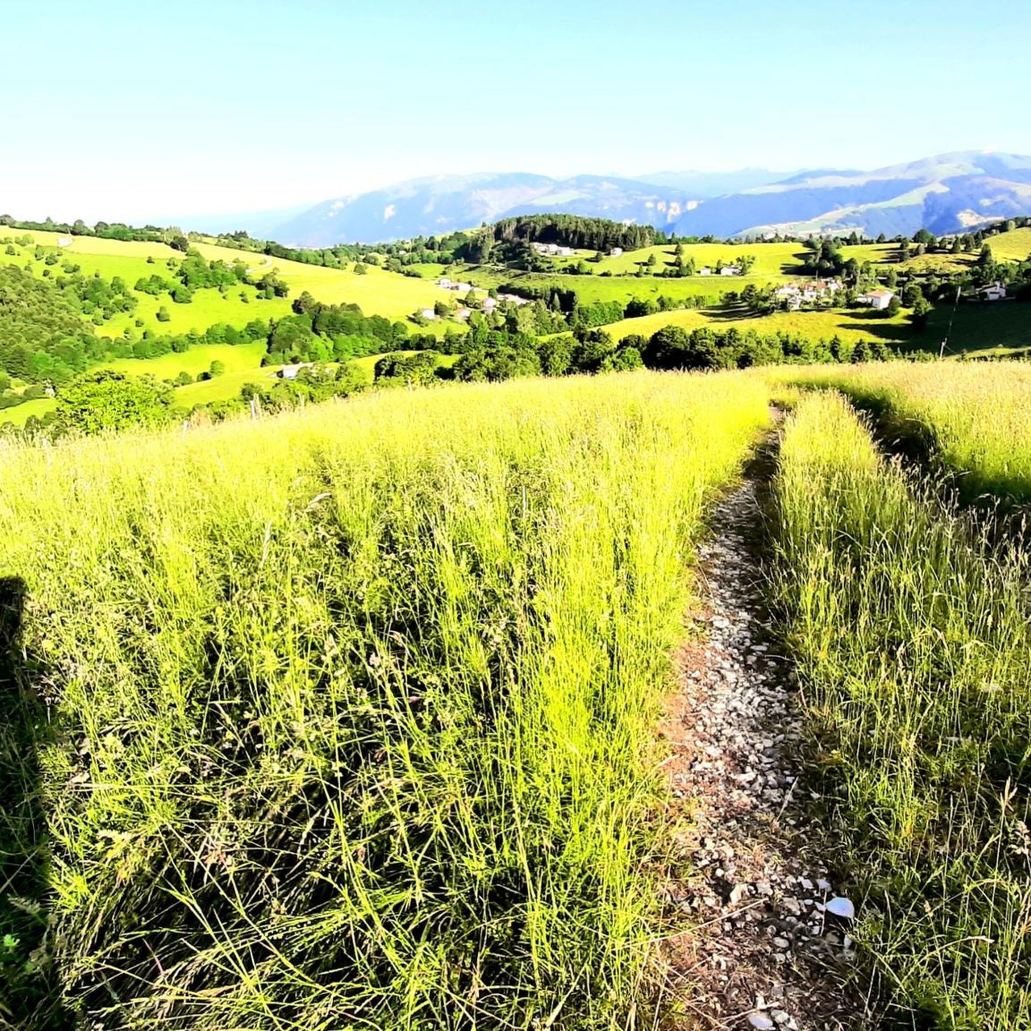
Running Trails around San Nazario
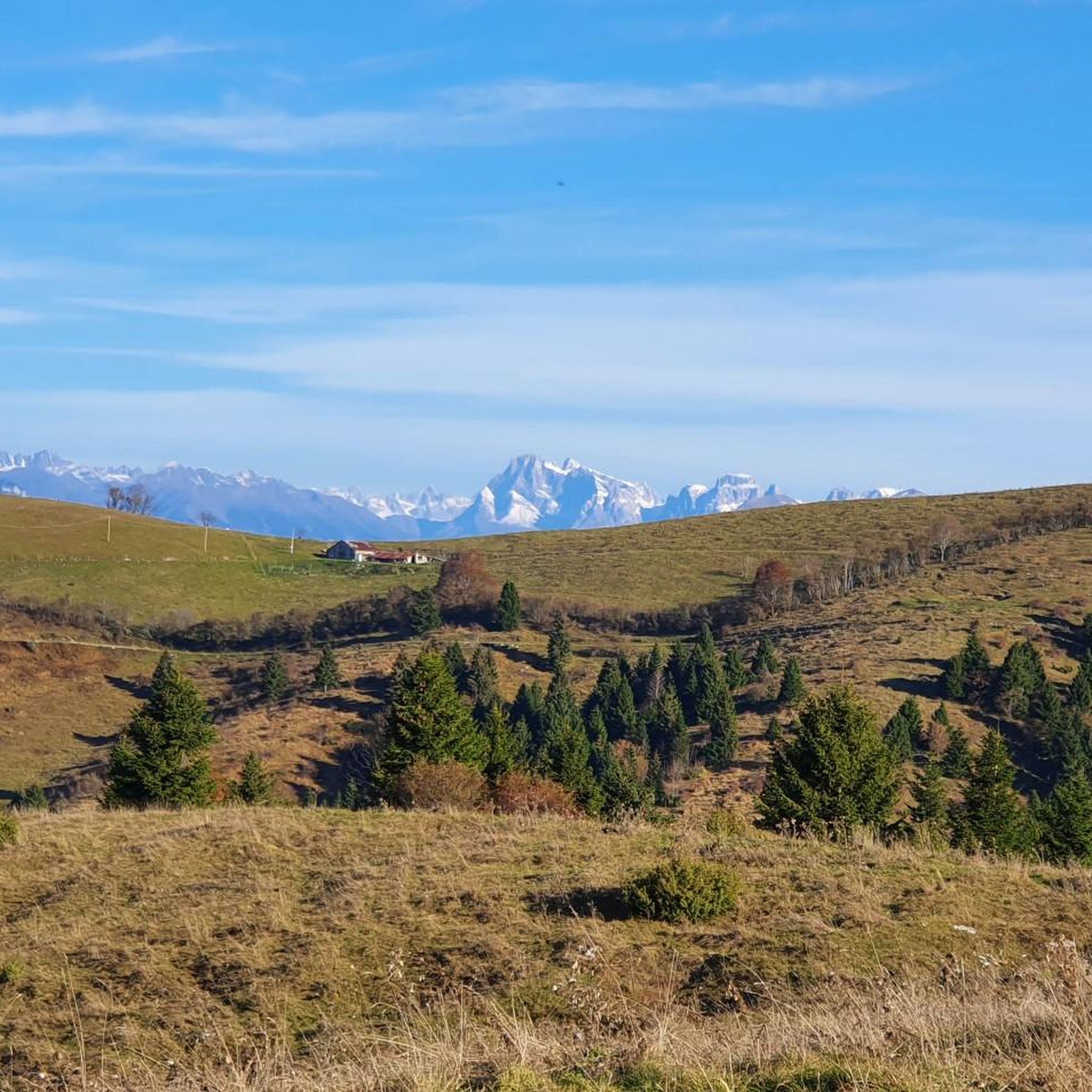
Cycling around San Nazario
Road Cycling Routes around San Nazario

Gravel biking around San Nazario
Mountain Hikes around San Nazario

Tips from the Community

A simply wonderful place, easy to reach from the Carpanè-Valstagna station, following a well-marked path along the Brenta River. The staff was equally fantastic, allowing us to follow the cave tour in both Italian and English (part of my group didn't speak Italian). I recommend going in spring; it's cooler and there's usually less traffic, so you can enjoy it all better. ;)
0
0

The Corlo lake dam blocks the Cismon stream which flows towards the Brenta river.
0
0

The Calieroni are a series of natural pools with crystal-clear, exotic-looking water, connected by lively waterfalls: a small and charming hidden treasure nestled among the tightly packed houses of Valstagna overlooking the eponymous stream. The circular potholes have been shaped over millennia by two phenomena: mechanical action, in which rocks and pebbles carried by the swollen river swirl, creating a centrifugal effect that erodes the surrounding rock; and chemical action, in which the carbonic acid in the water dissolves the calcium in the limestone, eroding it. The Calieroni take their name from rural Venetian tradition: the dialect word 'caliera' refers to a large pot (usually made of beaten copper) used to make polenta for the whole family... the shape of the round cavity resembles a cauldron filled with water! When water levels are low, you can reach the Calieroni by abseiling down into the stream bed, either from the mountain or from the small bridge downstream. This route requires caution due to the smooth, wet rock. In the summer, they become a natural swimming pool with icy waters, popular with the young people of Valstagna.
1
0


Dam immersed in the narrow gorge of the Cismon torrent, completed in 1953. Crossable, cycle/pedestrian. Pleasant walk with a view and the peculiarity of ending right inside a small tunnel in the rock, which then connects to the road to Corlo, very steep!
2
0
The Corlo dam (which takes its name from the village above) was built in the years 1951-53 to dam the Cismon stream and form the artificial lake, for hydroelectric use. The area occupied today by the basin was once known as the 'Ligònt plain': a fertile area, almost entirely cultivated with corn cobs and tobacco, with several inhabited hamlets. With the construction of the dam, many towns were forcibly abandoned, demolished and submerged; others, on the eastern side, found themselves isolated from the world and soon depopulated too. This civil engineering work amazes for its dizzying height of 71m, for the construction expertise thanks to which it slips into the mountain and for the view of the very narrow Cismon canyon. The crown of the dam can also be explored by car: after the tunnel, a very narrow and winding asphalt road ends in Contrà Corlo. When the bulkheads are raised, the power of the waterfall coming down the discharge chute is impressive and spectacular! https://it.wikipedia.org/wiki/Lago_del_Corlo
1
0

The Oliero caves are a complex of caverns located on the slopes of the Sette Comuni plateau, near the hamlet of Oliero (municipality of Valbrenta). Much of the water that penetrates through the plateau above flows from the caves, a classic example of karst phenomena. There are four caves currently open to the public: Covol dei Veci and Covol dei Siori from which the Oliero river flows; while the two upper ones, Covol dei Assassini and Covol dee Soree, are now dry. To visit the caves it is necessary to have a ticket and entry is allowed only with a guide. In the park of the caves it is also possible to visit the museum of speleology and karst phenomena and relax at the bike grill bar.
0
0
The "Sanctuary of the Madonna del Caravaggio al Buso" is so named because it is dedicated to the Madonna del Caravaggio (not the painter, but the town in the province of Bergamo where the Virgin appeared in 1432); and because it is built above a high natural gorge (the "Buso Vecio")... however, it is commonly referred to as "the Madonna del Buso." What is striking about this humble little temple and its bell tower is their secluded and solitary location, hidden and almost forgotten: they emerge unexpectedly at the bottom of the narrow and shady Val Frenzèla, immersed in coniferous forests, along the old and obsolete road connecting Gallio and Stoccareddo, used until the construction of the more convenient and faster metal overpass at the end of the 20th century, which now overlooks the shrine at a height of 70 meters! History. Here, in 1830, Fra Giovanni Battista Casera, a Franciscan hermit, returning from one of his many pilgrimages, found himself stranded by a severe spring storm and the resulting "brentana" (river flood), which prevented him from crossing the ravine. He therefore sought shelter among these rocks. As an act of faith for having escaped danger, in accordance with his own wishes, the bridge connecting the two banks and the chapel were built in the years immediately following, serving as a rest stop for travelers and a place of worship. He himself spent the rest of his days as a hermit in that building. The site quickly became a pilgrimage destination. It was destroyed by bombing during World War I and rebuilt in 1927. https://www.vaticano.com/turismo/scheda_1251_il-santuario-del-buso.html
0
0
Frequently Asked Questions
What unique natural features can I explore around San Nazario?
The area around San Nazario offers diverse natural features. You can discover Gorghi Scuri, a narrow impluvium with waterfalls, natural pools, and whirlpools. The Oliero River, near the Oliero Caves, presents a scenic area with fresh water and karst phenomena. Additionally, the Valgadena Gorge offers dramatic carved rock passages and panoramic views over the Valsugana valley.
Are there opportunities for canyoning near San Nazario?
Yes, the Brenta Valley, where San Nazario is located, is popular for canyoning. Local providers highlight beautiful red limestone canyons with numerous jumps, toboggans, and abseiling. Some routes are suitable even for beginners, allowing you to explore lush, primordial natural environments with crystal-clear pools.
Are there any family-friendly natural attractions around San Nazario?
Absolutely. The Oliero Caves are a great family-friendly option, offering boat trips into the caverns and a museum of speleology. The surrounding park also has a bike grill bar. The Oliero River area is also considered enjoyable for families, especially on warm days.
What is the best time to visit the canyons and gorges near San Nazario?
For exploring gorges like Gorghi Scuri, spring and summer are recommended due to lush vegetation and more active waterways. The Oliero River area is also particularly enjoyable on warm days. Generally, spring offers cooler temperatures and potentially fewer crowds for cave visits.
What kind of hiking experiences can I find near San Nazario's canyons?
You can find challenging and rewarding hikes. The Valgadena Gorge, for instance, offers a dramatic hike through carved rock passages, spanning approximately 10.2 km with a 940m elevation gain, taking around 5 hours. For more general hiking, you can explore various mountain hikes around San Nazario, including routes with significant elevation.
Are there any historical sites associated with the gorges in the region?
Yes, the Sanctuary of the Madonna del Caravaggio at Buso is a religious building situated above a high natural gorge known as the "Buso Vecio." This secluded site offers a unique blend of historical interest and natural scenery within the narrow Val Frenzèla, with a history dating back to 1830 and rebuilt after WWI.
What cycling opportunities are available near the canyons of San Nazario?
The region offers excellent cycling opportunities, particularly along the Brenta River. You can explore routes like the Ciclopista del Brenta, which features a spectacular passage overhanging the river. For more options, check out the cycling routes around San Nazario, which include various distances and difficulty levels.
Can I find mountain biking trails in the area around San Nazario?
Yes, there are several mountain biking trails available. You can find routes that explore the diverse terrain surrounding San Nazario, ranging from moderate to difficult. For detailed information and route options, refer to the MTB Trails around San Nazario guide.
What geological features are prominent in the canyons and gorges near San Nazario?
The area is characterized by dramatic geological formations carved by water. The Brenta River has sculpted the landscape, creating various gorge-like features. The Oliero Caves are a classic example of karst phenomena, where much of the water from the plateau above flows through caverns. You'll encounter carved rock passages, waterfalls, and natural pools.
Are there any places for wild swimming or natural pools in the canyons?
Yes, Gorghi Scuri is known for its natural pools and lively waterways formed by the Valletta stream. Canyoning experiences in the Brenta Valley also involve descending into crystal-clear pools, offering opportunities for refreshing dips in a primordial natural environment.
How accessible are the canyons and gorges by public transport?
Some attractions, like the Oliero Caves, are noted as being easy to reach from the Carpanè-Valstagna station, with a well-marked path along the Brenta River. For other more remote gorges, personal transportation might be more convenient.
Most popular routes around San Nazario
Most popular attractions around San Nazario

Get inspired with the komoot mobile app


Explore more
Already discovered everything in this region? See additional gorges around San Nazario for your next adventure:
