The best running trails around San Nazario
4.3
(135)
6,880
runners
18
runs
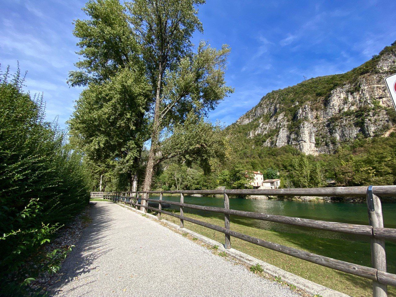
Jogging around San Nazario offers a diverse landscape for runners. The region is characterized by the Brenta River valley, which provides flat riverside paths, and surrounding hills that lead to higher elevations and panoramic viewpoints. These routes often traverse a mix of forested areas and open terrain, presenting varied surfaces for running. The area's topography includes both gentle gradients along the river and more challenging climbs into the foothills.
Best jogging routes around San Nazario
- The most popular jogging route…
Last updated: October 21, 2026
16
runners
56.6km
08:17
2,380m
2,380m
Hard run. Very good fitness required. Sure-footedness, sturdy shoes and alpine experience required.
5.0
(3)
36
runners
12.2km
01:18
140m
140m
Moderate run. Good fitness required. Mostly paved surfaces. Suitable for all skill levels.

5.0
(1)
32
runners
7.63km
00:52
90m
90m
Moderate run. Good fitness required. Mostly paved surfaces. Suitable for all skill levels.
27
runners
21.9km
02:36
620m
620m
Hard run. Very good fitness required. Mostly paved surfaces. Suitable for all skill levels.
25
runners
15.6km
02:44
1,130m
1,130m
Hard run. Very good fitness required. Sure-footedness, sturdy shoes and alpine experience required.
Get access to more routes and recommendations from other explorers.
Already have an account?
Our route recommendations are based on thousands of hikes, rides, and runs completed by other people on komoot.
Start today with a free account
Your next adventure awaits.
Popular around San Nazario
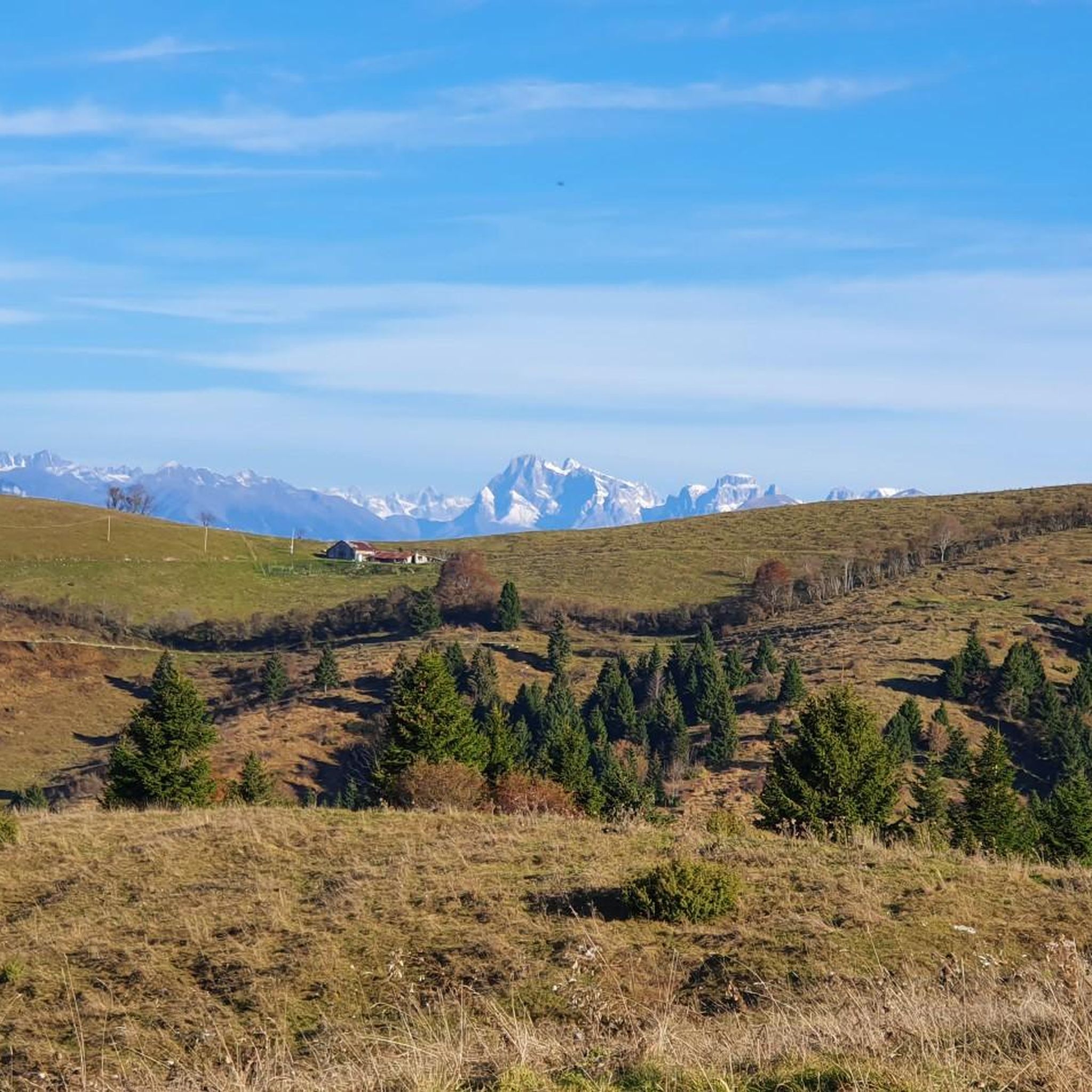
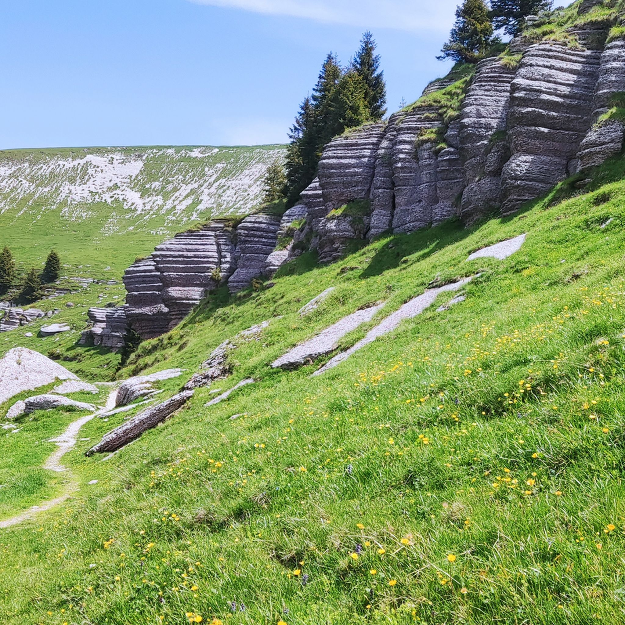


Tips from the Community


La Grottona is a natural panoramic balcony with a spectacular view of the lower Valsugana (or Canale del Brenta, as its narrow final part is called), at an altitude of 900m. You encounter it while walking the challenging Sentiero del Vu, which leads from Londa di Valstagna to Col d'Astiago on the Asiago Plateau, following an Italian defensive line from World War I dotted with military structures: this rocky terrace was also adapted by the infantry as an observation point and artillery position, with a still-passable trench.
1
0
This large concrete tank pumps water from the springs of the Grotte di Oliero, thanks to an aqueduct that overcomes 1000m of elevation difference, to then distribute it throughout the Asiago Plateau: up here, in fact, the territory is karst, so it does not retain water which flows downstream through underground channels... practically the same water from rain and snow that naturally descends from the summit is artificially pumped up out of necessity! The current aqueduct and tank were built on the traces of a system already created during the First World War, to address the primary problem of water supply for the Plateau, which became critically serious during the conflict, both due to the exponential increase in the number of men present at altitude, and due to the contest for the few springs by opposing enemies. Considered by many to be a horrible structure, for me it is a suggestive brutalist architecture totally detached, positioned in a natural and unspoiled environment: a fascinating contrast!
0
0

Valstagna is a historic town in the province of Vicenza, today the capital of the scattered municipality of Valbrenta, located in the suggestive setting of the Valsugana valley. Perched along the right bank of the Brenta river, it is nestled between the waters and the imposing rock faces of the Altopiano dei Sette Comuni (Seven Municipalities Plateau). The town has inextricably linked its history to the Republic of Venice: for centuries it was an important centre for timber floating, with wood being sent from the mountains on rafts to the shipyards of the Venetian Arsenal. This ancient tradition is revived every summer in the famous Palio delle Zattere (Raft Race). Valstagna is an ideal destination for lovers of sport and nature: it is an international benchmark for kayaking and rafting on the Brenta, it hosts the famous natural complex of the Grotte di Oliero (Oliero Caves) and it is the starting point of the Calà del Sasso, a historic staircase with 4,444 steps that climbs up to Asiago.
0
0
The Rialto Bridge of Valstagna is an important infrastructural work located in the municipality of Valbrenta, in the province of Vicenza. Crossing the Brenta river, this bridge historically connects the inhabited area of Valstagna, on the right bank, to the hamlet of Carpanè and the SS 47 of Valsugana, on the left bank, representing a vital hub for local traffic and for cycle tourists on the Brenta Cycle Path. Recently, the structure has undergone a radical restoration and safety intervention, which concluded with its reopening in the summer of 2025. The works, worth over one million euros, have made it possible to repair the damaged parts, widen the roadway, and create a protected pedestrian walkway. A spectacular LED lighting system has also been installed, which colors the bridge during historical events such as the Palio delle Zattere.
0
0
The Eremo di San Bovo is a gem nestled among the hills of Bassano del Grappa, a place where spirituality meets breathtaking nature. Perched at about 330 meters on Monte Costa, it offers a privileged view of the entrance to Valbrenta and the Vicenza plain. The current structure, rebuilt in the 90s on the remains of an ancient settlement, stands in an area frequented since the Iron Age, as evidenced by enigmatic Rhaetian graffiti on the surrounding rocks. To reach it, one follows paths immersed in the woods starting from Sant'Eusebio, often combining the walk with a stop at the nearby Cascate del Silan. It is an ideal destination for those seeking silence and history, walking among ancient stone walls and remains of trenches from the Great War, under the protective gaze of San Bovo, patron of livestock.
0
0
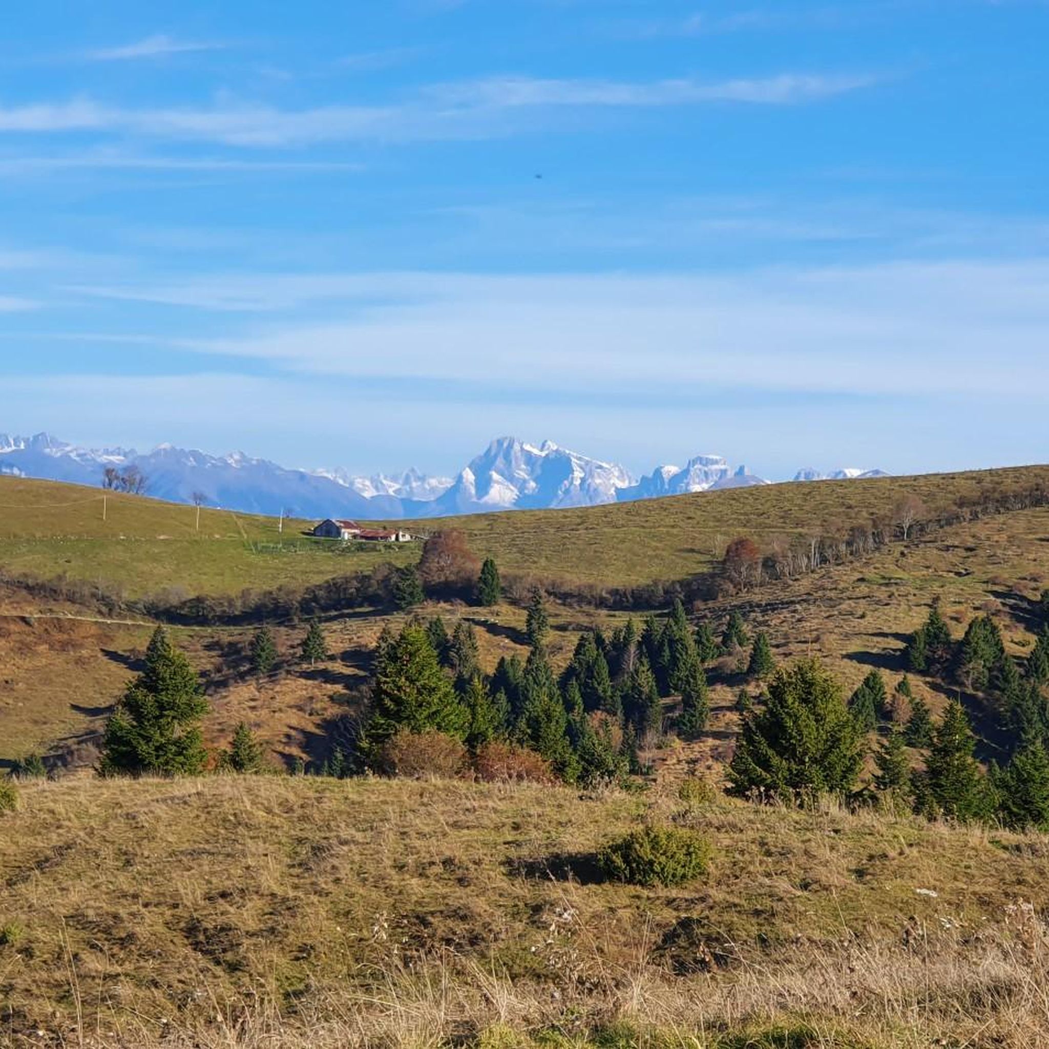
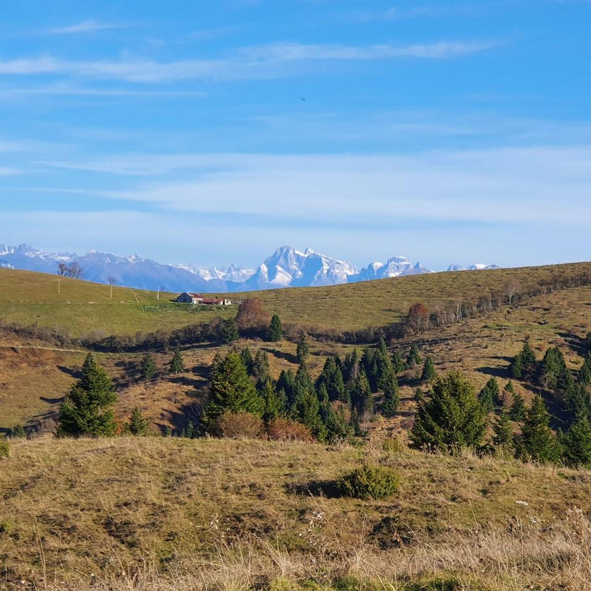
Rifugio Alpe Madre, located at 1,270 meters on the Grappa Massif in the municipality of Solagna, is an excellent destination for those seeking authentic contact with the nature of the Veneto region. Nestled in the pastures of Colli Alti, it offers a suggestive panorama ranging from the Asiago Plateau to the Dolomite peaks. The structure is famous for its traditional cuisine, characterized by genuine dishes such as homemade gnocchi and polenta with mountain pasture cheeses. Easily reachable from Campo Solagna via the scenic Strada delle Penise, the refuge is a landmark for hikers, families, and snowshoeing enthusiasts. In addition to catering, it offers overnight accommodation in a rustic atmosphere, making it an ideal base for exploring the historic sites of Col Moschin and Col Fenilon.
0
0

bridge comfortable but pay attention because the bottom is iron grating and extremely slippery when wet
1
0
Frequently Asked Questions
How many running routes are available in San Nazario?
San Nazario offers a wide variety of running routes, with over 270 trails available for exploration. These routes cater to different preferences, ranging from gentle riverside paths to more challenging climbs in the hills.
Are there any easy or beginner-friendly jogging routes in San Nazario?
Yes, while many routes in San Nazario are rated moderate to difficult, there are approximately 13 easy running routes available. These typically follow the flatter sections along the Brenta River valley, offering a gentler experience for beginners or those seeking a relaxed run.
Can I find circular jogging trails around San Nazario?
Many of the running routes in San Nazario are designed as loops, allowing you to start and finish in the same location. For example, the Church of San Nazario loop from San Nazario is a challenging 7.3-mile (11.7 km) path that offers views of the town and surrounding landscape.
What are some scenic jogging paths in San Nazario?
The region is known for its diverse scenery. You can find routes that traverse forested areas, open terrain, and offer panoramic views from higher elevations. The Alpe Madre Hut – View from Col del Fenilon loop from Villaggio del Sole is a difficult 7.6-mile (12.2 km) trail featuring steady climbs and rewarding vistas.
Are there any challenging running routes for experienced runners?
Absolutely. San Nazario is well-suited for experienced runners, with over 130 difficult routes. These trails often involve significant elevation gain and cover longer distances, such as the Campo Solagna Hut – View from Col del Fenilon loop from Valbrenta, which spans 13.6 miles (21.8 km) with over 600 meters of ascent.
What kind of natural attractions can I see along the running routes?
The area around San Nazario boasts several natural highlights. You might encounter stunning features like the Silan Waterfalls, explore the Anguane's Cave, or enjoy views from summits like Monte Caina. Many routes also follow the Brenta River, offering picturesque riverside scenery.
What do other runners enjoy most about jogging in San Nazario?
The running routes in San Nazario are highly rated by the komoot community, with an average score of 4.3 stars from over 100 reviews. Runners often praise the diverse landscape, which includes both tranquil riverside paths and challenging hill climbs, as well as the scenic viewpoints and varied terrain.
Are there any long-distance running options in the San Nazario area?
For those looking for longer runs, San Nazario offers extensive routes. The Brenta River – Brenta Riverside Path loop from San Nazario is a substantial 26.2-mile (42.2 km) trail that follows the Brenta River, often taking nearly 6 hours to complete.
Are there any running routes that are suitable for families?
While specific 'family-friendly' routes are not explicitly categorized, the easier, flatter sections along the Brenta River are generally more suitable for families or those with children. These paths offer a less strenuous experience away from steep climbs.
What is the best time of year for running in San Nazario?
The Brenta River valley and surrounding hills offer good running conditions for much of the year. Spring and autumn provide pleasant temperatures and vibrant scenery. Summer can be warm, making early morning or late afternoon runs ideal, especially on shaded trails. Winter running is possible, particularly on lower elevation paths, though higher routes may be affected by snow or ice.
Are there any running routes near cafes or places to stop for refreshments?
Many routes, especially those closer to San Nazario town or passing through villages, will have access to cafes or local eateries. The Brenta Cycle Path loop from Carpanè - Valstagna, for instance, follows a well-used path that often has amenities nearby in the towns it connects.
How accessible are the running routes by public transport in San Nazario?
San Nazario is situated in the Brenta Valley, which has some public transport connections. While specific route access points vary, many trails are reachable from the main towns and villages in the area. It's advisable to check local bus schedules for connections to trailheads, especially for routes starting further afield.
Most popular routes around San Nazario
Most popular attractions around San Nazario

Get inspired with the komoot mobile app


Explore more
Browse the best Running Trails & Routes in other regions.
