Réserve naturelle de Ristolas - Mont-Viso
Réserve naturelle de Ristolas - Mont-Viso
The 3 Most Amazing Peaks around Réserve naturelle de Ristolas - Mont-Viso
Best mountain peaks around Réserve naturelle de Ristolas - Mont-Viso are found within the Queyras massif in the French Alps. This natural reserve spans 2,295 hectares with altitudes ranging from 1,700 m to 3,287 m. The area is defined by its dramatic geology, a result of ancient plate collisions, and features a variety of rocks and glacial formations. Mont Viso, though primarily in Italy, dominates the landscape and influences the surrounding peaks within the reserve. The reserve also supports diverse…
Last updated: July 12, 2026
Col Sellière
Highlight • Mountain Pass
Translated by Google •
Tip by

Punta Udine
Highlight • Summit
It can be combined with the …
Translated by Google •
Tip by

Sign up now to discover places like this
Get recommendations on the best single tracks, peaks, & plenty of other exciting outdoor places.
Sign up for free
Asti Saddle
Highlight • Mountain Pass
Translated by Google •
Tip by

Punta Roma Summit
Highlight • Summit
Translated by Google •
Tip by
Rocca Rossa 3190 m
Highlight • Summit
Translated by Google •
Tip by

Start today with a free account
Your next adventure awaits.
Login or Signup
Popular around Réserve naturelle de Ristolas - Mont-Viso
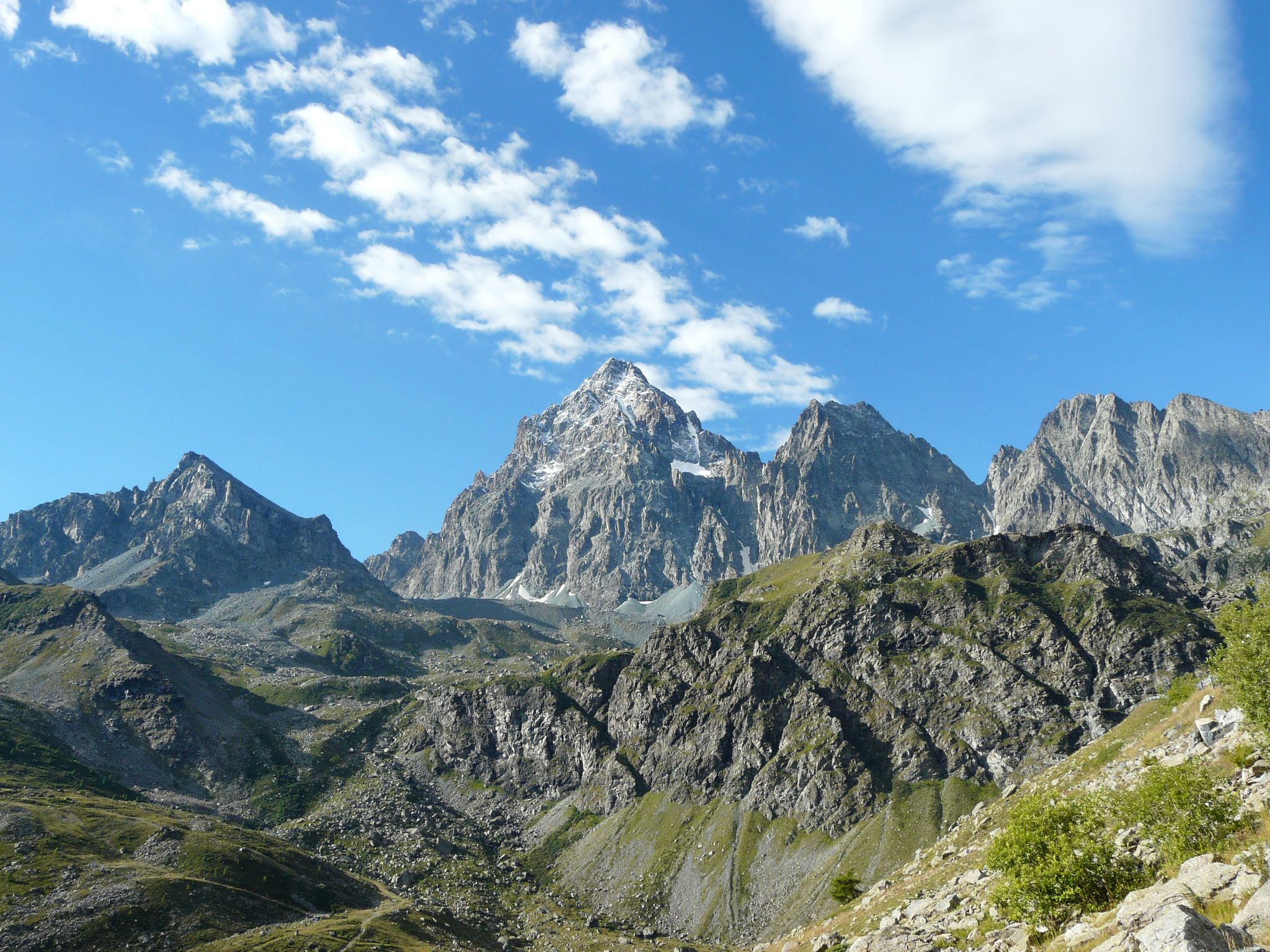
Tour di Viso – Four days around the Stone King from Castello
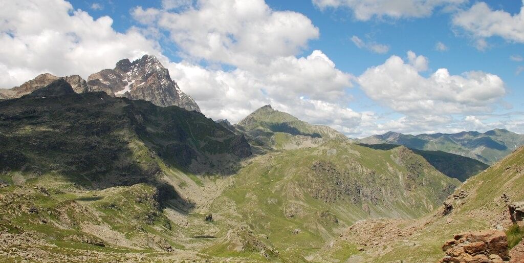
Tour di Viso – Four days around the Stone King from Meire Dacant
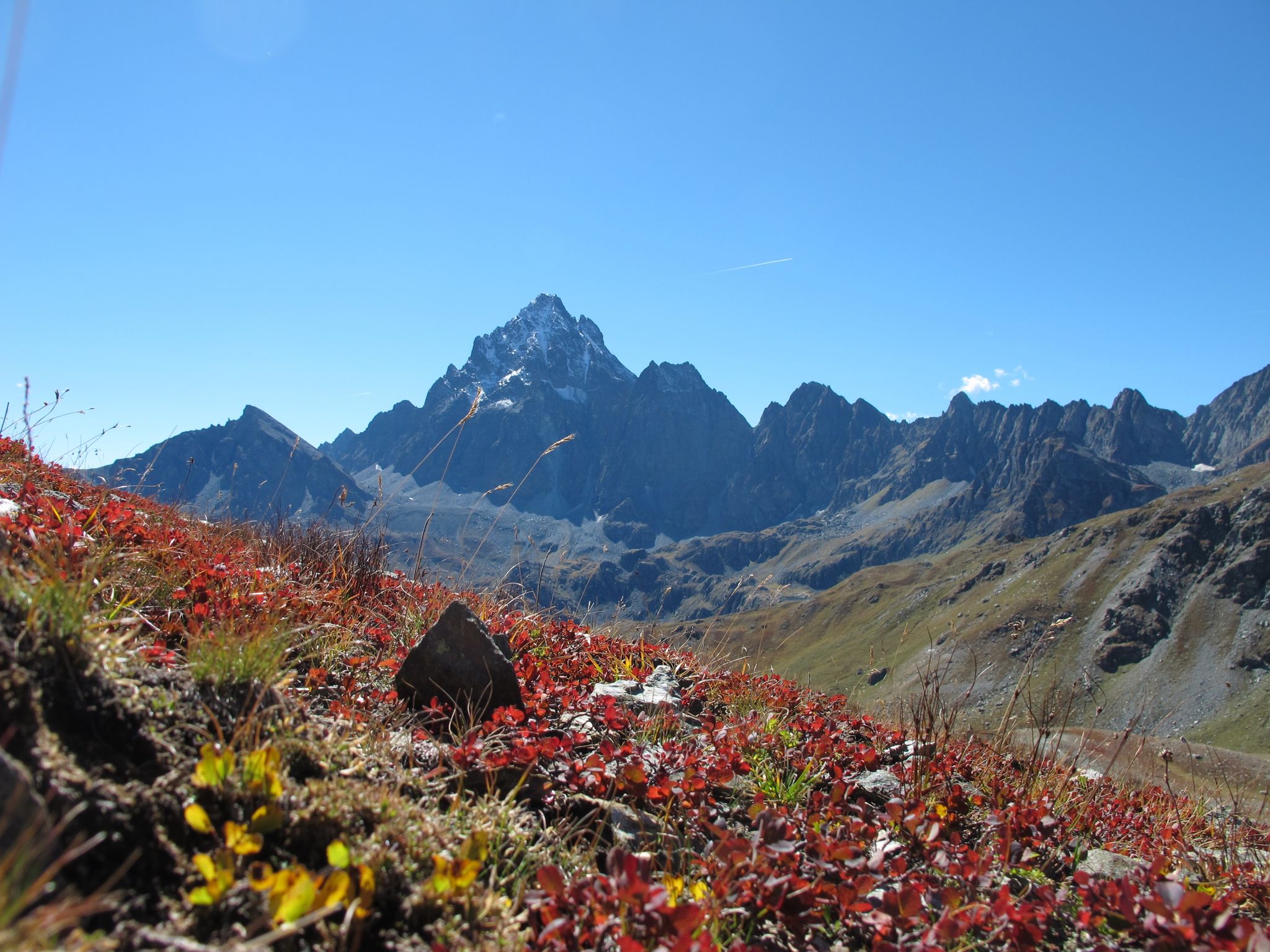
Three days around il Re di Pietra ─ Giro di Viso from Castello
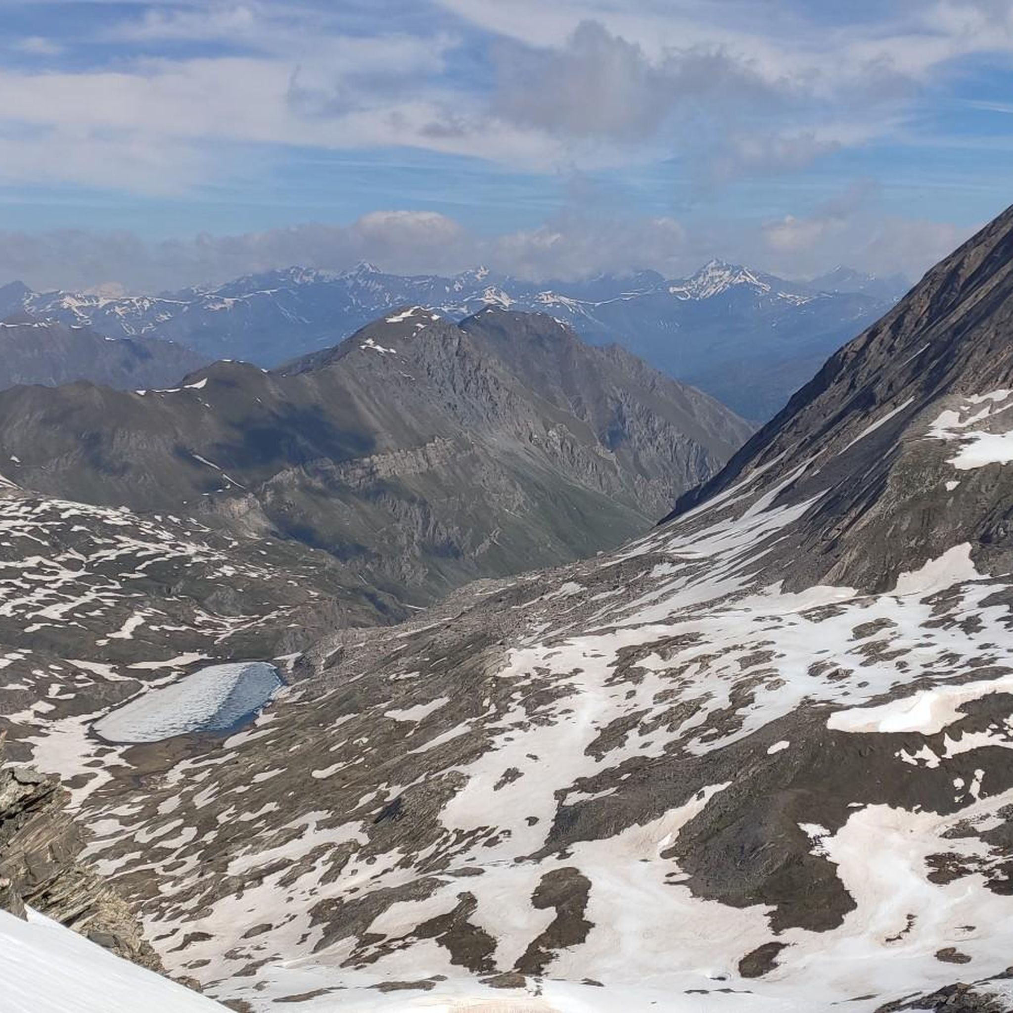
Hiking around Réserve naturelle de Ristolas - Mont-Viso
Cycling around Réserve naturelle de Ristolas - Mont-Viso
MTB Trails around Réserve naturelle de Ristolas - Mont-Viso
Running Trails around Réserve naturelle de Ristolas - Mont-Viso
Road Cycling Routes around Réserve naturelle de Ristolas - Mont-Viso
Mountain Hikes around Réserve naturelle de Ristolas - Mont-Viso

Gravel biking around Réserve naturelle de Ristolas - Mont-Viso
Other adventures around Réserve naturelle de Ristolas - Mont-Viso

Tips from the Community

Right next to the famous Pain de Sucre and therefore neglected by the crowd, I recommend the climb to this wild peak (and you are sure to see ibexes). The view is fantastic on the Sugar Loaf but also the peaks of the Taillante, the Foréant lake, the Ecrins massif and even Mont Blanc which protrudes from the peaks of the Taillante. An Ibex posed for me and made this pic memorable.
1
0
The view is magnificent from this pass
0
0

Punta Udine m. 3,022 a.s.l. it is located on the main watershed, just north of Monviso and is easily accessible from the Giacoletti refuge. It can be combined with the ascent to the nearby Punta Venezia as they have a common stretch of ascent.
4
0
Point Rome, m. 3,070 a.s.l., is a beautiful rocky peak on the main Alpine watershed, between the Po Valley and the Vallée du Guil.
2
0

High mountain ski mountaineering trip on very suggestive sceneries. Some sections a little steep uphill, but generally spring snow, skiable at the end of the season
0
0

At 2,834 meters above sea level, the Sellière pass is located on the ridge that marks the border between Italy and France. A rocky point marks your arrival at the pass.
2
0

Col Sellière, between the Granero refuge (Italian) and the Viso refuge (France). There can be a lot of snow on the Italian side until early July
2
0
Frequently Asked Questions
What are some of the most notable mountain peaks in the Réserve naturelle de Ristolas - Mont-Viso region?
Beyond the iconic Mont Viso, the region features several significant peaks. Within the reserve, L'Asti / Monte Aiguillette (3,298 m) is the highest, offering expansive views across the French-Italian border. Other notable summits include Punta Udine, accessible from the Giacoletti refuge, and Rocca Rossa 3190 m, known for its wild character and views of the Taillante peaks.
What makes Mont Viso so significant to the Réserve naturelle de Ristolas - Mont-Viso, even though it's primarily in Italy?
Mont Viso (3,841 m), often called the 'Stone King,' is the dominant feature defining the landscape of the Réserve naturelle de Ristolas - Mont-Viso. Its distinctive pyramid shape is visible from many valleys in the Queyras, serving as a majestic backdrop for activities within the reserve. Ristolas is a popular starting point for hikes offering stunning viewpoints of Mont Viso, such as trails leading to the Petit and Grand Belvédère du Viso.
Are there any peaks or passes within the reserve that offer challenging mountaineering experiences?
Yes, the region is known for its challenging terrain. L'Asti / Monte Aiguillette offers an introduction to mountaineering with steep sections. For more technical ascents, Punta Gastaldi (3,214 m) and Pointe de Venise / Punta Venezia (3,095 m) require excellent technical ability and are recommended for experienced mountaineers. Passes like Col Sellière and Asti Saddle also present challenging conditions, especially for ski mountaineering.
What kind of unique nature and wildlife can I expect to see around the mountain peaks of Réserve naturelle de Ristolas - Mont-Viso?
The reserve boasts a rich biodiversity with around 1,000 plant species, including endemic ones like the Campanule des Alpes, Grassette du Queyras, and Saxifrage des Vaudois. Its fauna includes chamois, ibex (often seen near Rocca Rossa), and various alpine birds. The unique Lanza salamander also inhabits this special environment, making it a compelling destination for nature lovers.
What outdoor activities and routes are available near the mountain peaks in Réserve naturelle de Ristolas - Mont-Viso?
The region offers a wide array of outdoor activities. You can find numerous routes for mountaineering, running, and road cycling. For mountaineering, explore options like the Lac Fiorenza – Viso Mozzo Summit loop. Running enthusiasts might enjoy the LaRocheEcroulée – The Grand Viso Viewpoint loop. Road cyclists can tackle routes such as the Chianale Village – Lac de Pontechianale loop. You can find more details on these and other routes in the Mountain Hikes, Running Trails, and Road Cycling Routes guides for the area.
Are there specific hiking trails recommended for experiencing the mountain peaks?
Yes, there are many trails catering to different levels. For those seeking views of Mont Viso, trails from Ristolas to the Petit and Grand Belvédère du Viso are popular. For more challenging hikes, routes around Punta Udine and Col Sellière offer extensive views and connect various refuges. The reserve itself provides diverse terrain from family-friendly walks to multi-day technical hikes.
What is the best time of year to visit the mountain peaks in Réserve naturelle de Ristolas - Mont-Viso?
The best time to visit for hiking and mountaineering is typically during the late spring, summer, and early autumn months (June to September). During this period, the snow has largely melted from higher elevations, and the weather is generally more stable. However, even in early July, some high-altitude passes like Col Sellière can still have significant snow on the Italian side.
What geological features make the Réserve naturelle de Ristolas - Mont-Viso region unique?
The region's geology is particularly noteworthy, marking a collision point of the African and European plates 66 million years ago. This has resulted in a variety of rocks, including gabbros, lustrous schists, and basaltic lavas. Coupled with glacial features, this dramatic geology has created a rugged and visually stunning environment, featuring cliffs, scree, rock glaciers, and the dramatic gorges carved by the Guil River.
Are there any family-friendly activities or easier mountain experiences in the Réserve naturelle de Ristolas - Mont-Viso region?
While many peaks offer challenging ascents, the reserve also provides options for less strenuous activities. There are family-friendly walks available, particularly in the lower altitude areas and around the numerous refuges. These trails allow visitors to enjoy the stunning alpine scenery and spot wildlife without requiring advanced mountaineering skills.
What do visitors particularly enjoy about the mountain passes in this region?
Visitors highly appreciate the panoramic views from the mountain passes. For instance, Col Sellière is noted for its magnificent vistas across the French-Italian border. Asti Saddle is also praised for its very suggestive sceneries, especially for ski mountaineering. These passes often serve as crucial connections between refuges and offer rewarding experiences for those who reach them.
Can I find any hidden gems or less crowded spots among the peaks?
Yes, some peaks offer a more secluded experience. Rocca Rossa 3190 m, for example, is often overlooked due to its proximity to the famous Pain de Sucre. This makes it a wilder peak where you are more likely to encounter ibexes and enjoy fantastic views of the Sugar Loaf, the Taillante peaks, and even the Ecrins massif, away from the crowds.
Most popular routes around Réserve naturelle de Ristolas - Mont-Viso
Most popular attractions around Réserve naturelle de Ristolas - Mont-Viso

Get inspired with the komoot mobile app


Explore more
See even more amazing summits around Réserve naturelle de Ristolas - Mont-Viso with these guides:
