Réserve naturelle de Ristolas - Mont-Viso
Réserve naturelle de Ristolas - Mont-Viso
The best running trails around Réserve naturelle de Ristolas - Mont-Viso
3.6
(5)
1,577
runners
69
runs
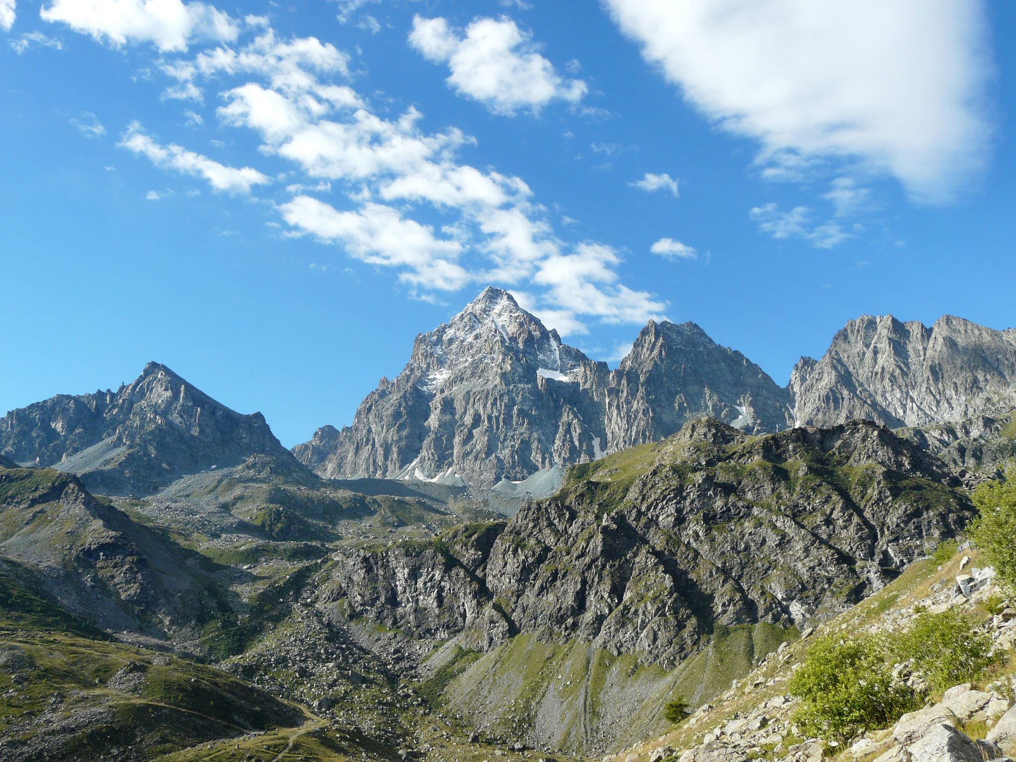
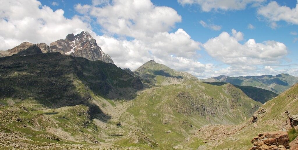
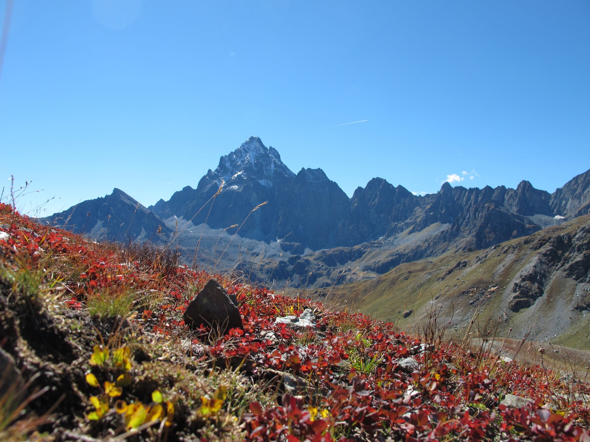
Jogging around Réserve naturelle de Ristolas - Mont-Viso offers a challenging experience within a high-altitude environment. The region is characterized by the majestic Mont Viso massif, diverse geological formations, and a landscape featuring alpine meadows, rocky areas, torrents, and high-altitude lakes. Altitudes range from 1,700 meters to 3,287 meters, providing significant elevation changes suitable for trail running. This mountainous terrain is part of the Queyras Regional Natural Park, known for its biodiversity.
Best jogging routes around Réserve naturelle de Ristolas…
Last updated: July 15, 2026
15
runners
18.1km
03:09
1,110m
1,110m
Hard run. Very good fitness required. Sure-footedness, sturdy shoes and alpine experience required.
75
runners
17.7km
03:29
1,160m
1,160m
Hard run. Very good fitness required. Sure-footedness, sturdy shoes and alpine experience required.

Sign up for free
5.0
(1)
23
runners
22.4km
03:01
800m
800m
Hard run. Very good fitness required. Sure-footedness, sturdy shoes and alpine experience required.
10
runners
5.74km
01:03
330m
330m
Hard run. Very good fitness required. Sure-footedness, sturdy shoes and alpine experience required.
11
runners
5.98km
01:02
340m
340m
Hard run. Very good fitness required. Sure-footedness, sturdy shoes and alpine experience required.
Get access to more routes and recommendations from other explorers.
Sign up for free
Already have an account?
Our route recommendations are based on thousands of hikes, rides, and runs completed by other people on komoot.
Start today with a free account
Your next adventure awaits.
Login or Signup
Popular around Réserve naturelle de Ristolas - Mont-Viso
Tour di Viso – Four days around the Stone King from Castello
Tour di Viso – Four days around the Stone King from Meire Dacant
Three days around il Re di Pietra ─ Giro di Viso from Castello
Cycling around Réserve naturelle de Ristolas - Mont-Viso
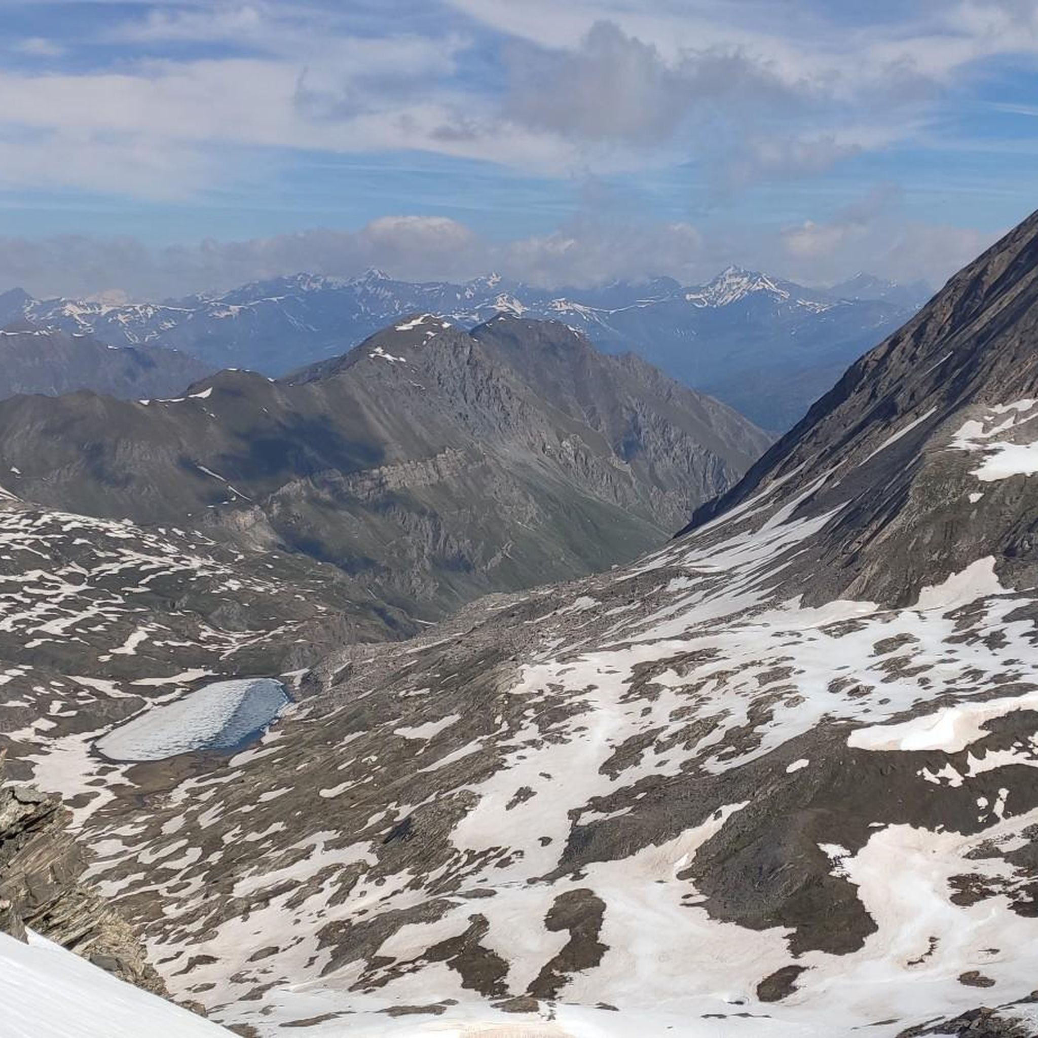
Hiking around Réserve naturelle de Ristolas - Mont-Viso
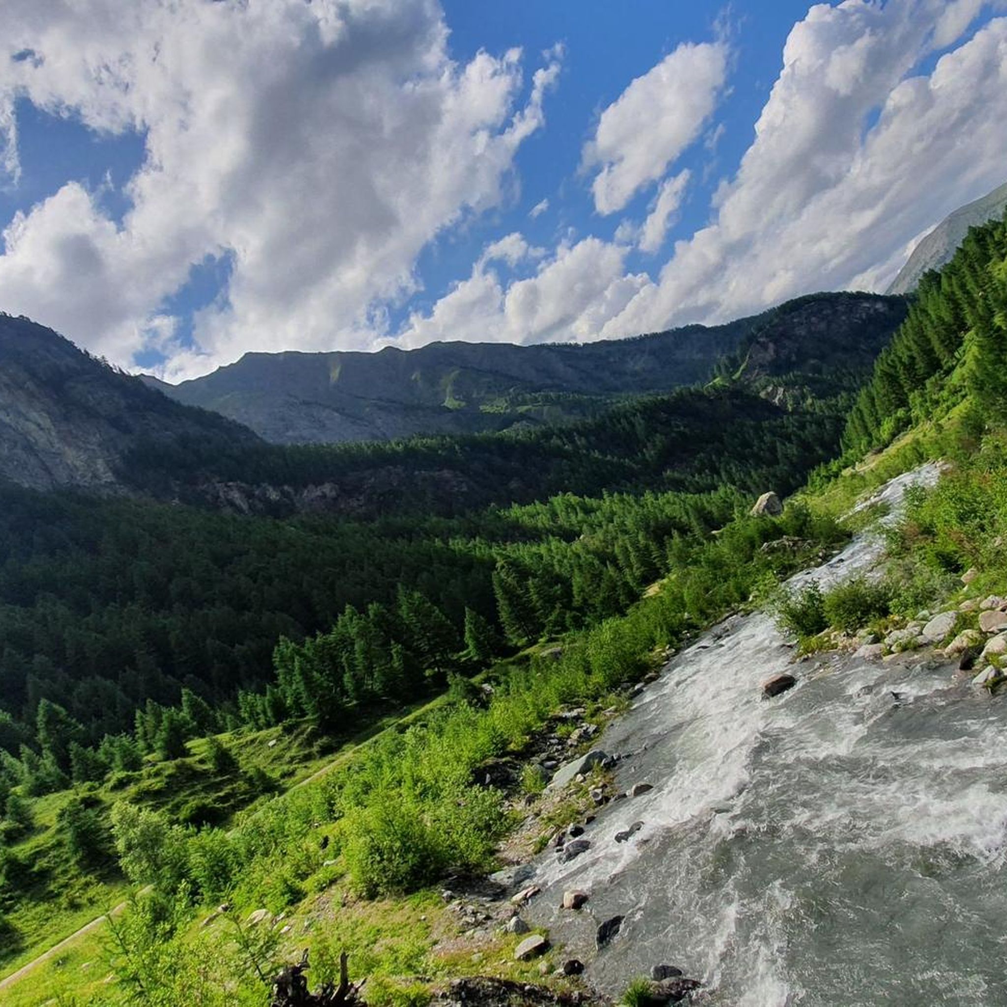
MTB Trails around Réserve naturelle de Ristolas - Mont-Viso
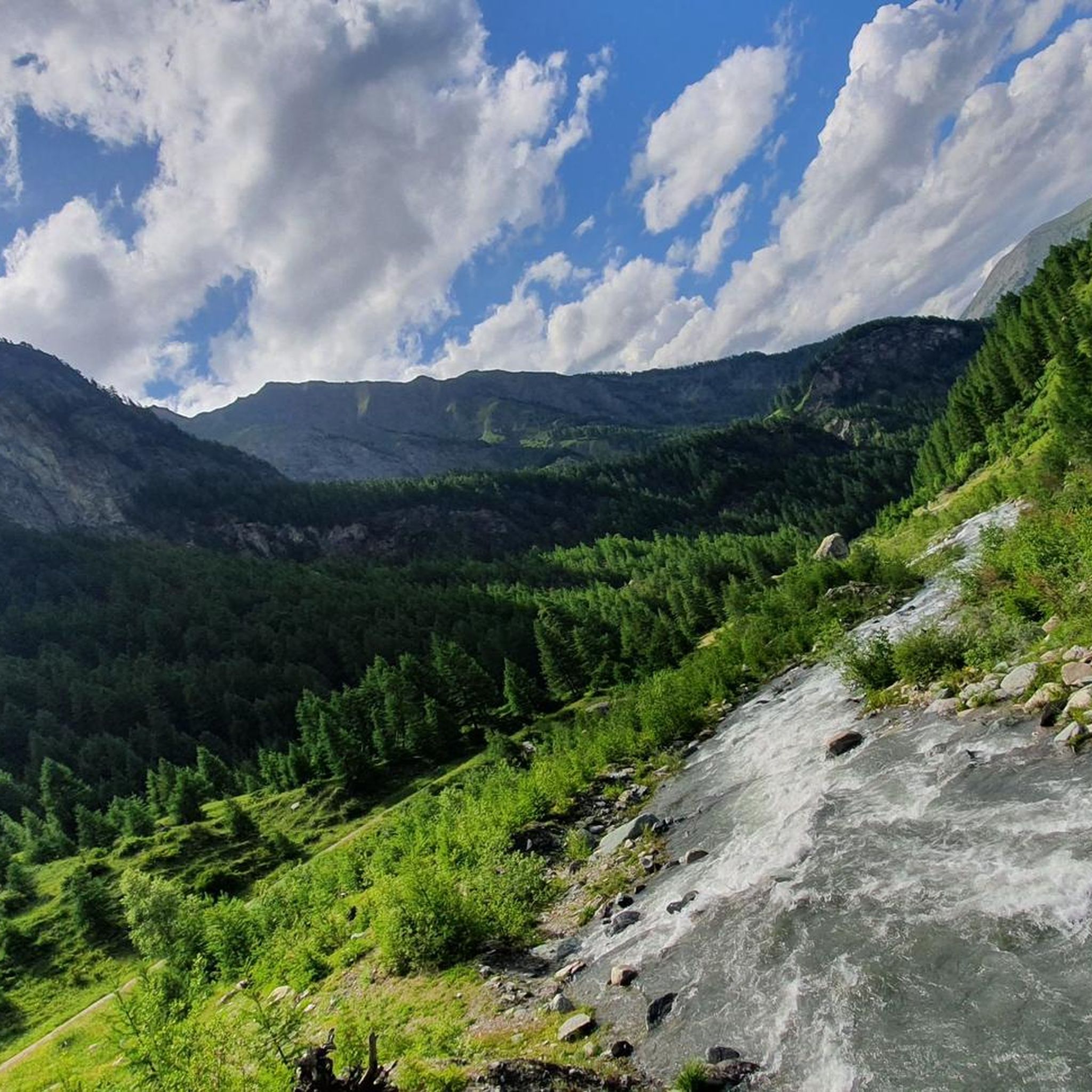
Road Cycling Routes around Réserve naturelle de Ristolas - Mont-Viso
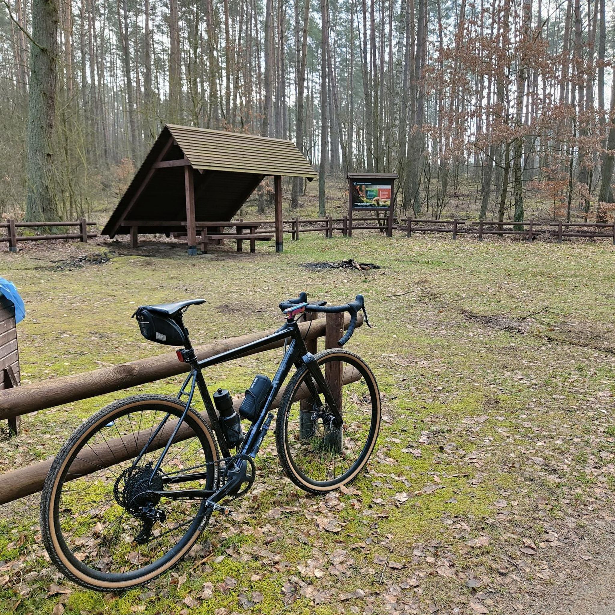
Mountain Hikes around Réserve naturelle de Ristolas - Mont-Viso

Gravel biking around Réserve naturelle de Ristolas - Mont-Viso
Other adventures around Réserve naturelle de Ristolas - Mont-Viso

Tips from the Community

A beautiful lake that is worth the climb and walk to get there.
1
0

Done in two days it remains less demanding with an overnight stay at the Vallanta refuge
0
0

https://youtu.be/Tn2Pfva6nS0 Easy to climb up to the refuge, then a flat section to a lake. If you want to go up to Passo Vallanta by bike after the lake, you just have to carry your bike up a blocked wall.
1
0
https://youtu.be/Tn2Pfva6nS0 End of gravel road, start of single trail, but definitely rideable with electric bike to the Rifugio du Viso.
0
0

Lac Foreant beautifully situated at 2618 meters.
1
0


La Roche Écroulée is a picturesque natural site, emblematic of Queyras. It is located in the Guil valley. It is the starting point for many hikes but also a renowned climbing spot.
0
0
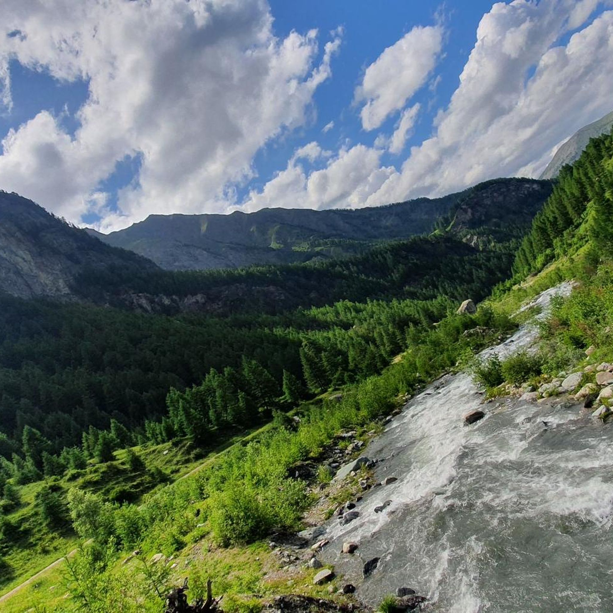
From this small bridge, you can admire the Guil. This mountain torrent starts from the Viso and runs to the Durance. Many hiking trails follow the course of this river, directly on the banks or overlooking it.
0
0
Frequently Asked Questions
What is the general difficulty level of running trails in Réserve naturelle de Ristolas - Mont-Viso?
The terrain in Réserve naturelle de Ristolas - Mont-Viso is predominantly mountainous and challenging, making it ideal for trail running. While there are 86 routes in total, 80 are classified as difficult, 5 as moderate, and only 1 as easy. Runners should be prepared for significant elevation changes and high-altitude conditions.
Are there any easy or beginner-friendly running routes in the Réserve naturelle de Ristolas - Mont-Viso?
While most routes are challenging, there is one route classified as easy. However, even 'easy' routes in this high-altitude, mountainous region may still present some elevation. It's always recommended to check the specific route details on komoot for elevation profiles and terrain before heading out.
Can I bring my dog on the running trails in Réserve naturelle de Ristolas - Mont-Viso?
No, dogs are generally not permitted in the Réserve naturelle de Ristolas - Mont-Viso, even on a leash. This restriction is in place to protect the fragile wildlife and ecosystems within the nature reserve. Please respect these regulations to preserve the natural environment.
What kind of wildlife might I encounter while running in the Mont Viso massif?
The reserve is home to diverse alpine fauna adapted to high-mountain conditions. You might spot chamois, ibex, and various alpine birds like the alpine accentor. The area is also known for the endemic Lanza's salamander. Maintaining a respectful distance and staying on marked trails helps protect these species.
Are there circular running routes available in the Réserve naturelle de Ristolas - Mont-Viso?
Yes, many of the running routes in the region are circular, allowing you to start and finish at the same point. For example, the LaRocheEcroulée – The Grand Viso Viewpoint loop from Ristolas offers expansive views, and the Lake Foréant – Lac Egorgéou loop from L'Échalp takes you through stunning high-altitude lake landscapes.
What are some notable viewpoints or landmarks along the running routes?
The region offers breathtaking views of the Mont Viso massif. You can find stunning panoramas from points like the Mont Viso Grand Viewpoint. Other interesting landmarks include the historic Tunnel de la Traversette (Buco di Viso) and the picturesque The Guil river.
What is the best time of year for running in Réserve naturelle de Ristolas - Mont-Viso?
The best time for running in this high-altitude region is typically during the warmer months, from late spring to early autumn (roughly June to September), when trails are more accessible and free of snow. Always check local weather conditions and trail status, as mountain weather can change rapidly.
Are there long-distance running trails for experienced trail runners?
Absolutely. The Réserve naturelle de Ristolas - Mont-Viso is an excellent destination for long-distance trail running, including multi-day adventures. The famous 'Tour de Viso' is a popular option, ranging from 2 to 10 days, with numerous refuges available for accommodation along the way. Many individual routes also cover significant distances and elevation, such as the Buco di Viso – Refuge du Viso loop from Pian del Re, which is nearly 16 km with over 1300m of ascent.
What do other runners enjoy most about jogging in Réserve naturelle de Ristolas - Mont-Viso?
The area is highly rated by the komoot community, with an average score of 3.8 stars from 9 reviews. Runners frequently praise the spectacular high-altitude scenery, the challenging yet rewarding trails, and the panoramic views of the Mont Viso massif. The diverse landscapes, from alpine meadows to rocky areas and high-altitude lakes, also contribute to a unique running experience.
Are there any family-friendly running options in the Réserve naturelle de Ristolas - Mont-Viso?
Given the predominantly difficult and high-altitude terrain, most routes are more suited for experienced trail runners. While there is one easy route, families with young children or those seeking very gentle jogs might find options limited. It's crucial to assess the fitness level of all participants and choose routes carefully, paying attention to elevation gain and distance.
Is there parking available near the trailheads for running routes?
Yes, parking is generally available near the starting points of many popular trails, especially in villages like Ristolas or L'Échalp. However, during peak season, spaces can fill up quickly. It's advisable to arrive early, especially for popular routes, or consider public transport options where available.
How many running routes are there in Réserve naturelle de Ristolas - Mont-Viso?
There are 86 running routes available in the Réserve naturelle de Ristolas - Mont-Viso, catering primarily to trail runners seeking challenging experiences in a high-altitude environment. These routes have been explored by over 1,900 runners using komoot.
Most popular routes around Réserve naturelle de Ristolas - Mont-Viso
Most popular attractions around Réserve naturelle de Ristolas - Mont-Viso

Get inspired with the komoot mobile app


Explore more
Browse the best Running Trails & Routes in other regions.
