The 4 Most Amazing Peaks around Dielkirchen
Mountain peaks around Dielkirchen are primarily found within the nearby Donnersberg massif, a region recognized for its scenic elevations and hiking opportunities. While Dielkirchen itself does not host towering peaks directly, the Donnersberg offers several notable examples. The Königsstuhl, at 686 meters, is the highest elevation in the Palatinate region. This area provides diverse natural landscapes for exploration.
Best mountain peaks around Dielkirchen
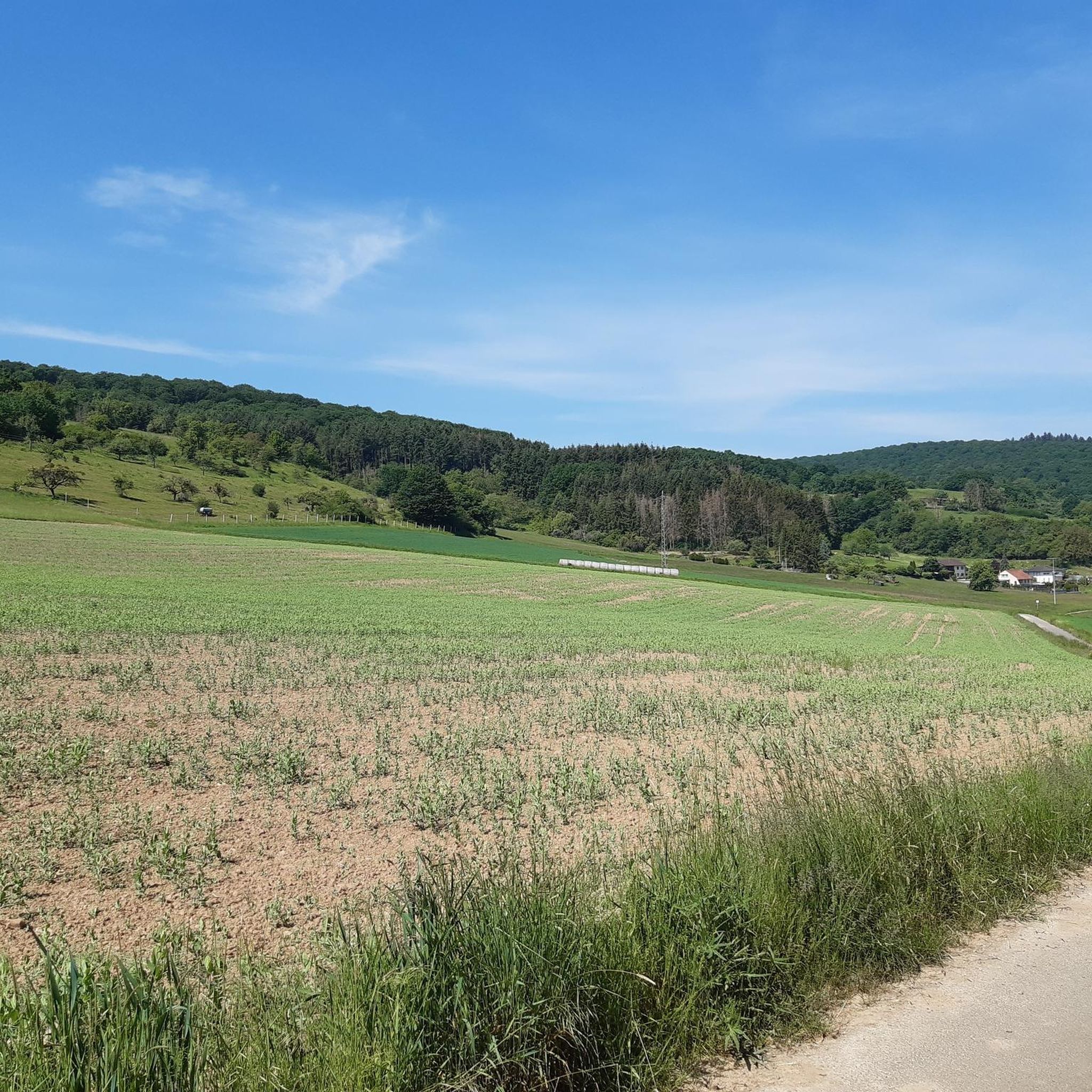
- The most popular mountain peaks is Königsstuhl (Donnersberg summit), a summit that is the highest elevation…
Last updated: October 14, 2026
Königsstuhl (Donnersberg summit)
Highlight • Summit
Showing Translation
Tip by

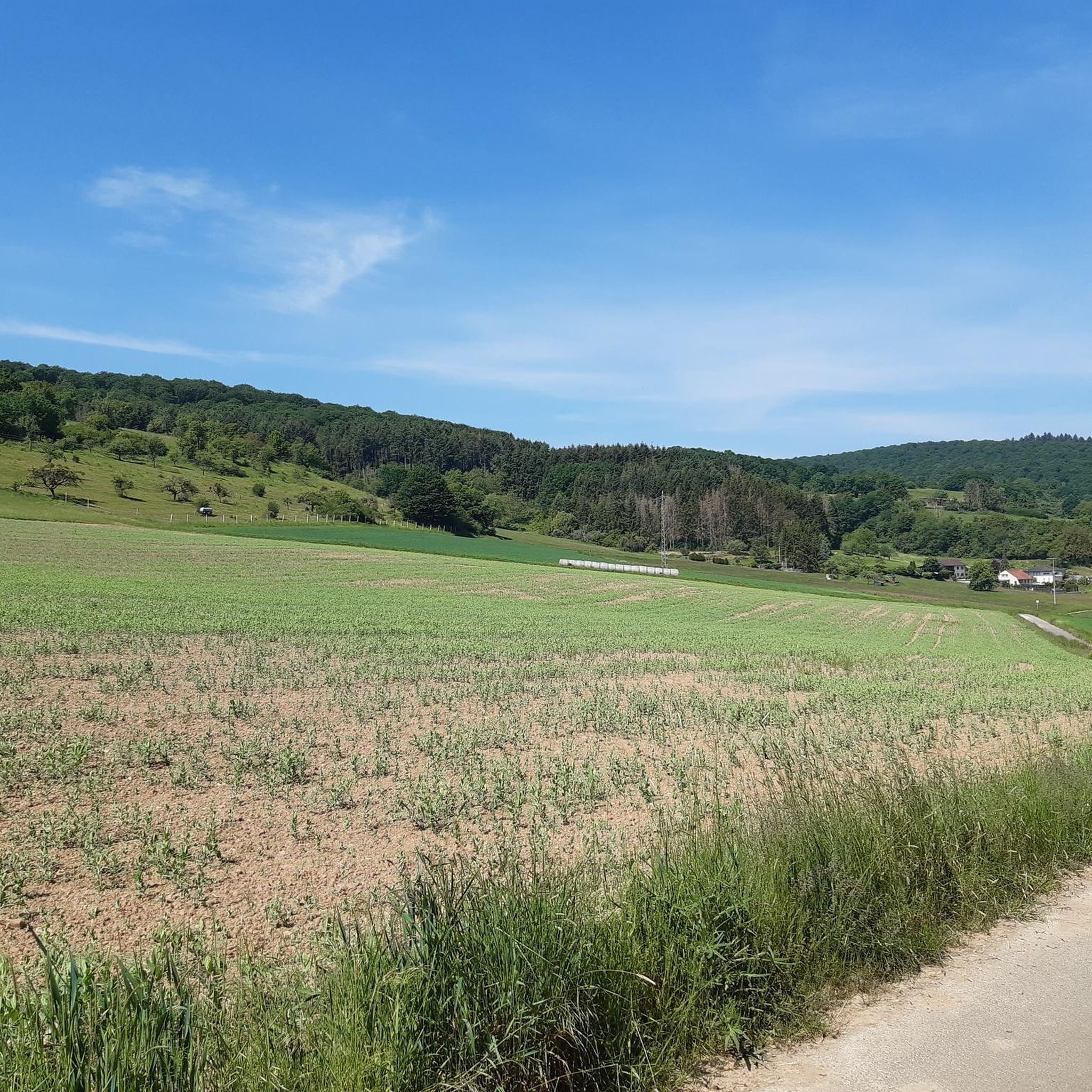
Lettweiler Höhe
Highlight • Summit
Translated by Google •
Tip by

Sign up now to discover places like this
Get recommendations on the best single tracks, peaks, & plenty of other exciting outdoor places.
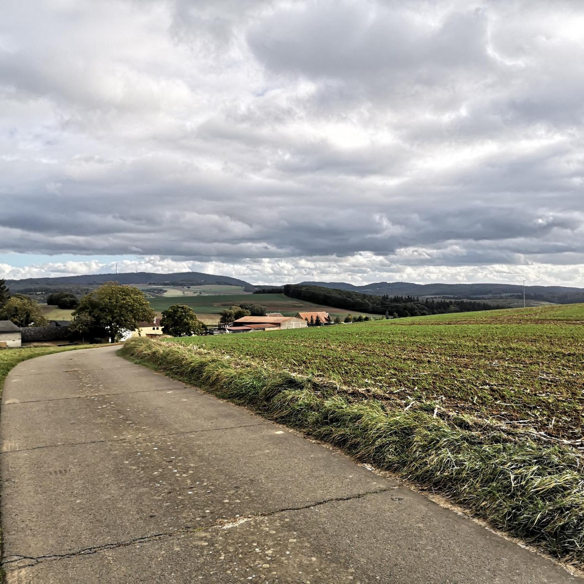
Highest Point of Schweisweiler
Highlight • Summit
Translated by Google •
Tip by

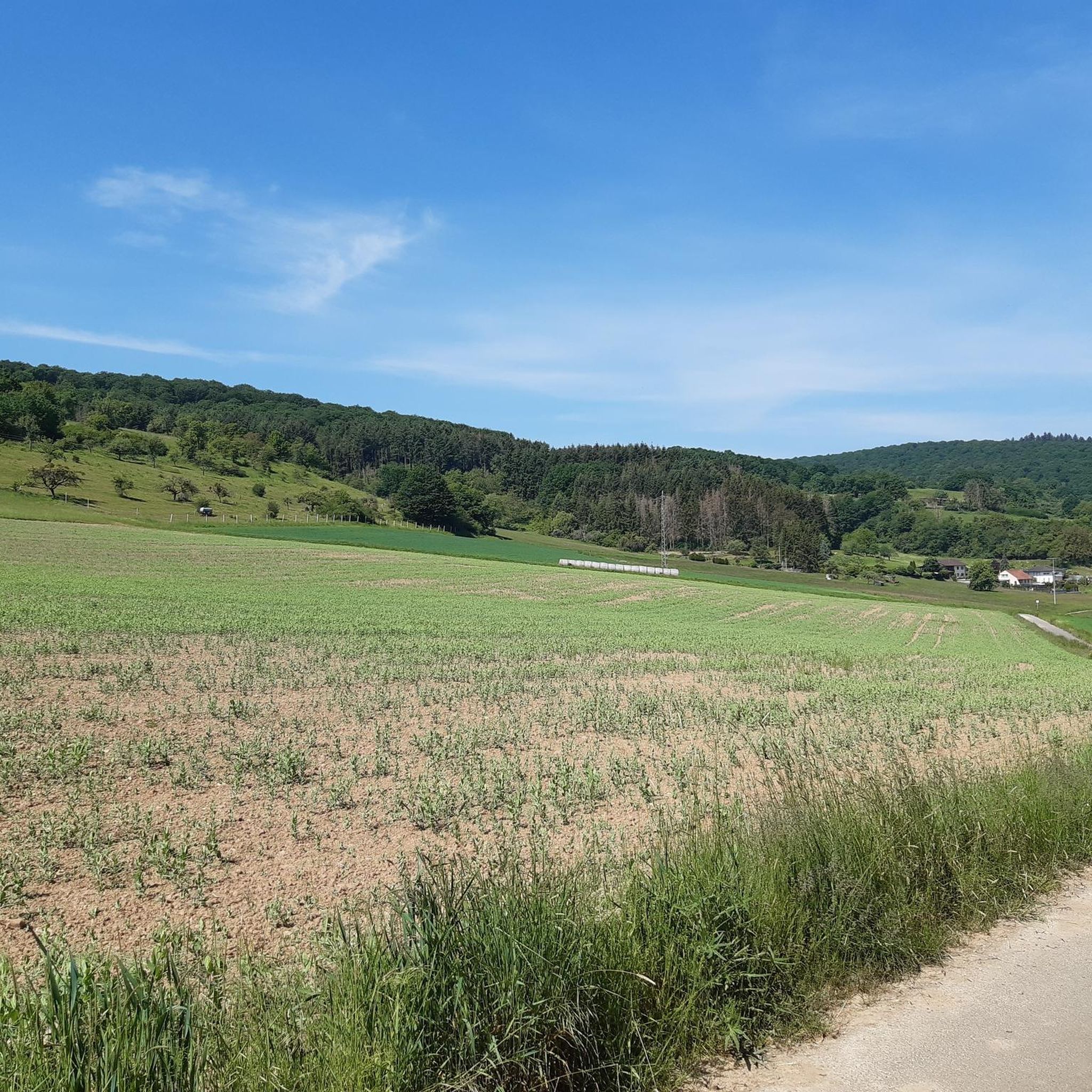
Bickberg Summit
Highlight • Summit
Translated by Google •
Tip by

Start today with a free account
Your next adventure awaits.
Tips from the Community

You feel like you're in Allgäu
0
0

From Obermoschel with ramps of 15-18% a quite challenging climb.
0
0

Great section, and both directions are worth it
0
0

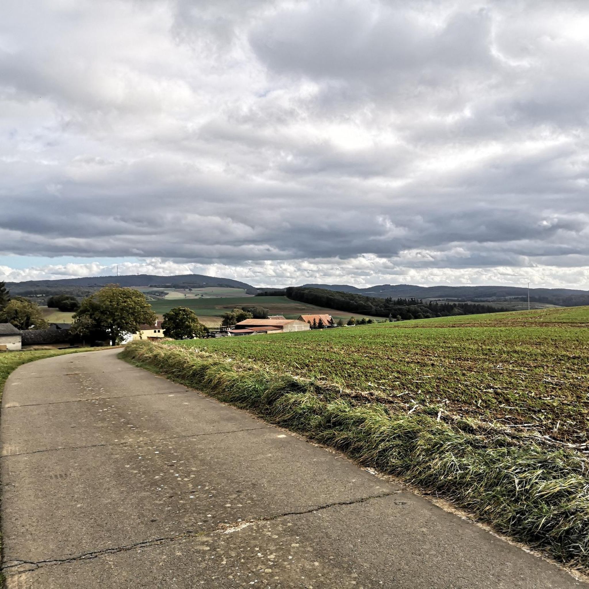
The municipality of Schweisweiler, with around 383 inhabitants, is located in the narrow valley of the river Alsenz, surrounded by steep mountains. Up here, you can enjoy a wonderful view!
1
0


Nice view home 🌳✅
0
0

Steep climb from Falkenstein.
0
0

The highest elevation on the way between Krobuchenhütte and Grüner Löwe
1
0
Frequently Asked Questions
What are some of the most notable mountain peaks near Dielkirchen?
The region around Dielkirchen, particularly the Donnersberg massif, offers several prominent peaks. The highest is the Königsstuhl (Donnersberg summit), standing at 686 meters. Other significant peaks include Lettweiler Höhe, known for its panoramic views, and the Highest Point of Schweisweiler, which also offers a rewarding vista.
What is the highest mountain peak in the Palatinate region near Dielkirchen?
The highest elevation in the Palatinate region is the Königsstuhl (Donnersberg summit), which reaches 686 meters. Reaching its summit offers a breathtaking view and a sense of achievement.
Are there peaks near Dielkirchen that offer good panoramic views?
Yes, several peaks provide excellent panoramic views. Lettweiler Höhe is known for its good panoramic view. The Highest Point of Schweisweiler also offers a nice view, with a bench available for resting. Additionally, the Adlerbogen, a viewpoint on the Donnersberg, provides a magnificent eastward panorama over the Zellertal and Worms.
What kind of hiking trails can I find around the mountain peaks near Dielkirchen?
The Donnersberg massif, home to these peaks, features numerous hiking trails catering to various difficulty levels, from intermediate to challenging climbs. You can find diverse natural landscapes and stunning views throughout the year. For more detailed routes, explore the Hiking around Dielkirchen guide.
Are there family-friendly options for exploring the peaks near Dielkirchen?
While some ascents can be challenging, the region offers trails suitable for varying levels. The Celtic sculpture path near the Adlerbogen, for instance, provides an engaging experience with informational panels, which can be enjoyable for families. Many trails offer beautiful vistas without requiring extreme difficulty.
What is the best time of year to visit the mountain peaks near Dielkirchen?
The mountain peaks and their surrounding trails are worth visiting at any time of year. The region's diverse natural landscapes ensure beautiful vistas throughout the seasons, whether you prefer lush greenery, autumn colors, or winter scenery.
Are there any amenities or resting spots available on the trails?
Yes, some locations offer amenities. For example, the Highest Point of Schweisweiler has a bench for resting and enjoying the view. The Hirtenfels, another prominent feature in the Donnersberg area, also has a shelter, making it a good spot for a break during a hike.
What other outdoor activities can I do near the mountain peaks around Dielkirchen?
Beyond hiking, the area around Dielkirchen is excellent for cycling. You can find various routes for mountain biking and gravel biking. Check out the MTB Trails around Dielkirchen guide and the Gravel biking around Dielkirchen guide for route suggestions.
What natural features can I expect to see when visiting the peaks?
The region is characterized by diverse natural landscapes, including forests, viewpoints, and unique geological formations like the volcanic rock of the Donnersberg. You'll encounter stunning panoramic views, especially from peaks like Königsstuhl and Lettweiler Höhe.
What do visitors enjoy most about the mountain peaks near Dielkirchen?
Visitors frequently praise the breathtaking views and the rewarding feeling of reaching the summits, especially at Königsstuhl. The diverse hiking trails, the peaceful atmosphere, and the opportunity to connect with nature are also highly appreciated. The komoot community has given these highlights over 1600 upvotes and shared more than 1000 photos.
Are there any historical or cultural points of interest near the peaks?
Yes, the Donnersberg area has historical significance. Near the Adlerbogen viewpoint, you can find a charming Celtic sculpture path featuring 13 stations with detailed information boards, explaining its history and cultural context.
Is the Bickberg Summit worth visiting?
The Bickberg Summit is the highest elevation on the way between Krobuchenhütte and Grüner Löwe. It offers a viewpoint and is often reached via a steep climb from Falkenstein, providing a rewarding experience for hikers.
Most popular routes around Dielkirchen
Most popular attractions around Dielkirchen

Get inspired with the komoot mobile app


Explore more
See even more amazing summits around Dielkirchen with these guides:
