The best walks and hikes around Dielkirchen
4.6
(6770)
22,774
hikers
519
hikes
Hiking around Dielkirchen offers diverse landscapes within the Palatinate region of Germany. The area is characterized by the Donnersberg, the highest elevation in the Palatinate, featuring volcanic rock formations and varied terrain. Trails traverse dense forests, open countryside, and provide panoramic views from elevated points. The region's topography includes challenging ascents and descents alongside more gentle paths.
Best hiking trails around Dielkirchen
- The most popular hiking route is Heinrichsbacher Hof – Hengstbacherhof loop from Sankt Alban, a 6.4 miles…
Last updated: October 18, 2026
4.6
(9)
30
hikers
10.3km
02:54
210m
210m
Moderate hike. Good fitness required. Easily-accessible paths. Suitable for all skill levels.
4.5
(11)
26
hikers
11.1km
03:17
330m
330m
Moderate hike. Good fitness required. Easily-accessible paths. Suitable for all skill levels.

3.7
(11)
24
hikers
5.63km
01:34
100m
110m
Easy hike. Great for any fitness level. Easily-accessible paths. Suitable for all skill levels.
4.9
(22)
22
hikers
9.07km
02:32
170m
170m
Moderate hike. Good fitness required. Easily-accessible paths. Suitable for all skill levels.
3.0
(2)
8
hikers
19.8km
05:43
500m
500m
Hard hike. Very good fitness required. Easily-accessible paths. Suitable for all skill levels.
Get access to more routes and recommendations from other explorers.
Already have an account?
Our route recommendations are based on thousands of hikes, rides, and runs completed by other people on komoot.
Start today with a free account
Your next adventure awaits.
Tips from the Community

Great spot for biking
0
0

A truly delightful circular trail for all ages: The marble run on Stahlberg offers a 3km-long mix of nature, fun and educational tidbits. The path is easy to walk and even suitable for strollers in dry weather. Along the route, several charmingly designed marble runs await discovery. Interspersed throughout are questions and information about the forest, animals, and nature, making the walk not only entertaining but also educational. A fantastic family outing that perfectly combines exercise, fresh air, and playful learning.
0
0

Beautifully made marble runs, a highlight especially for children.
0
0

Hiking in the Palatinate Mountains is attractive at all times of the year
0
0
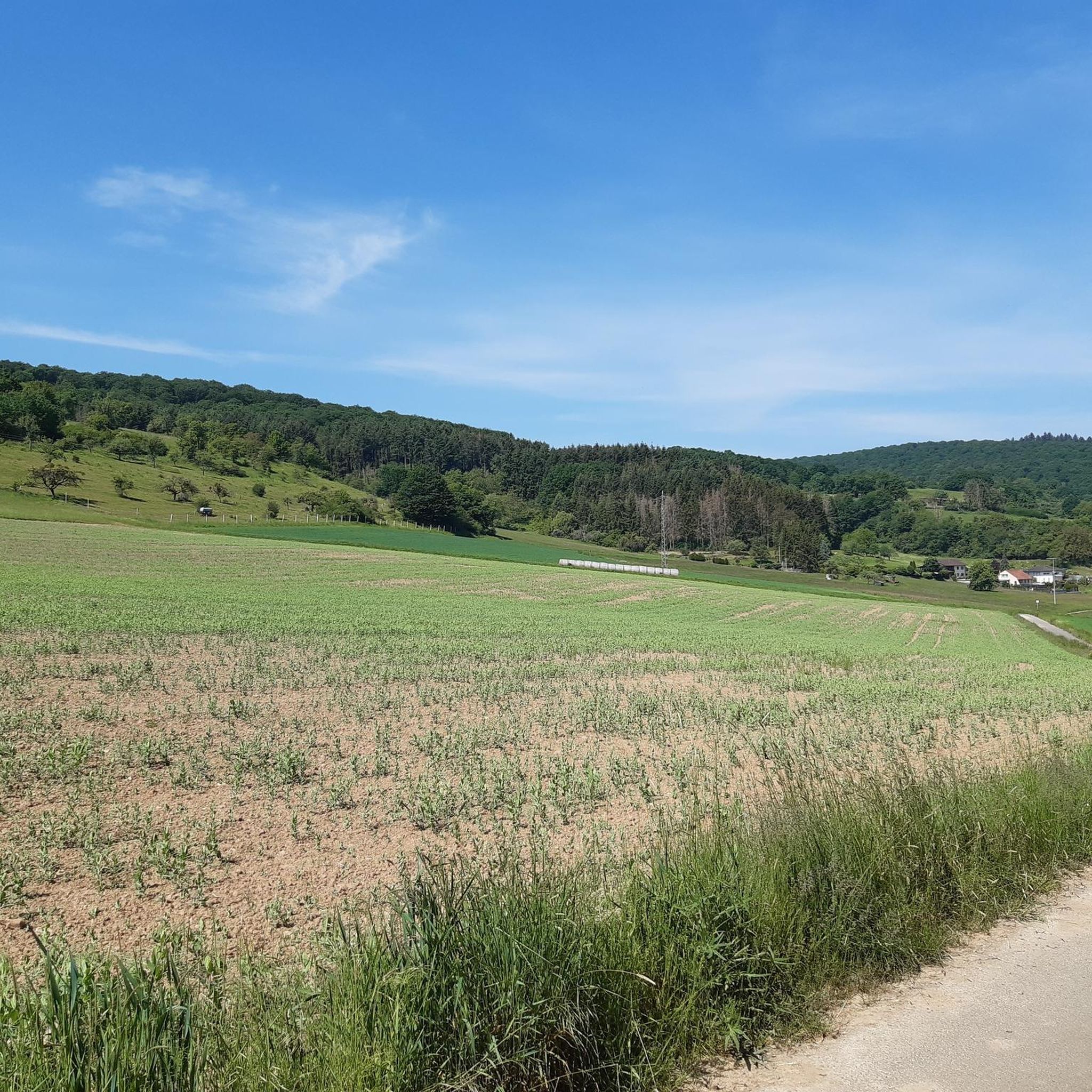
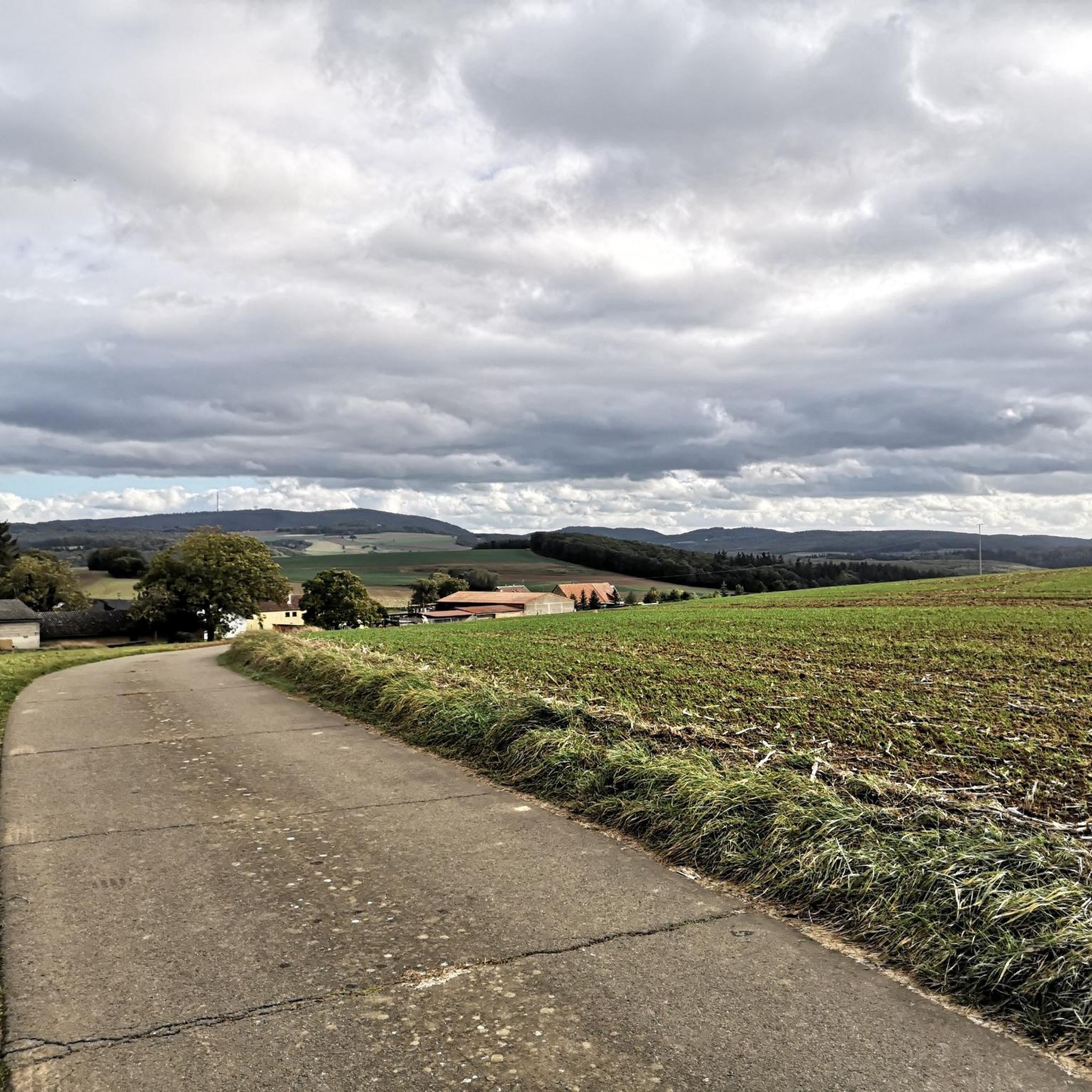
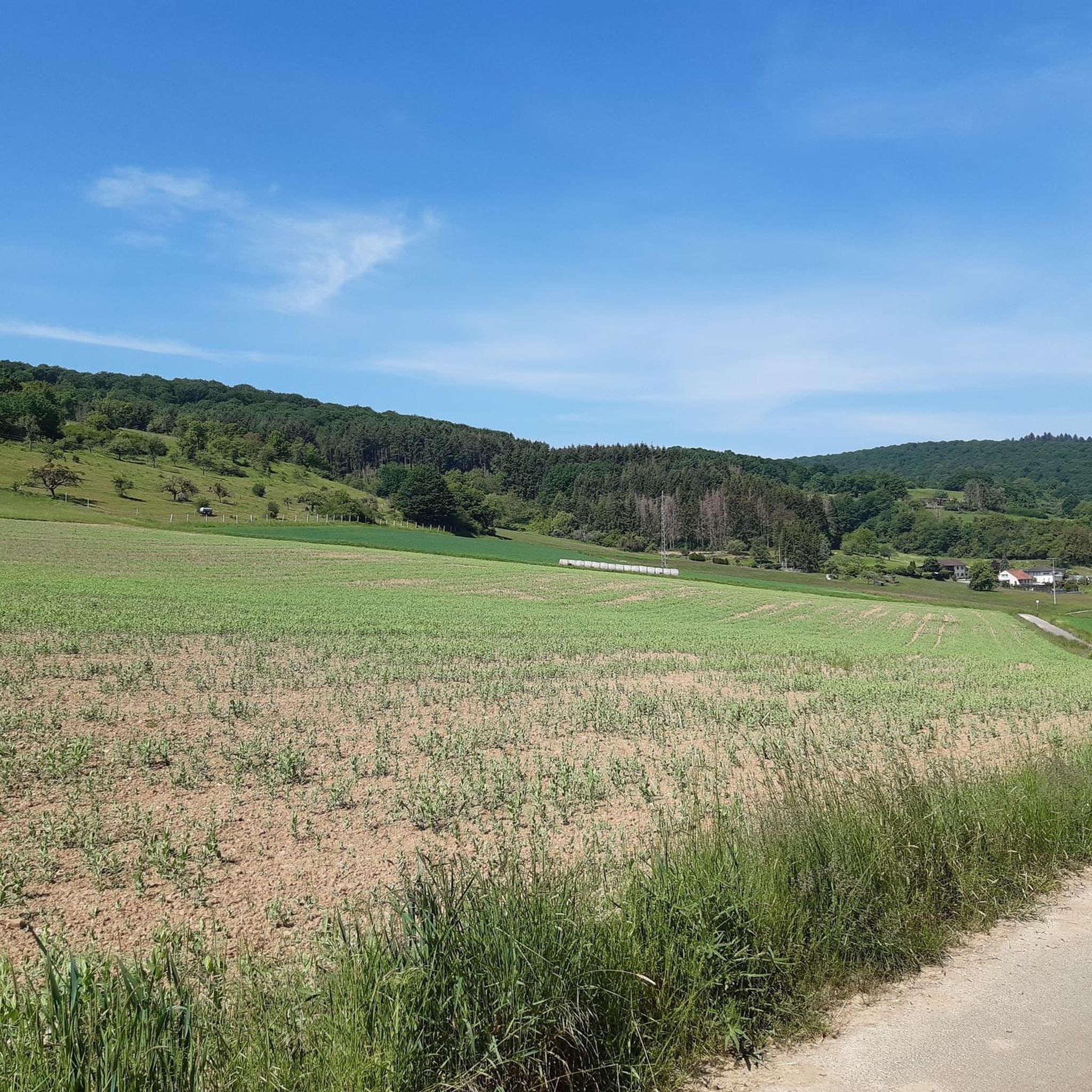
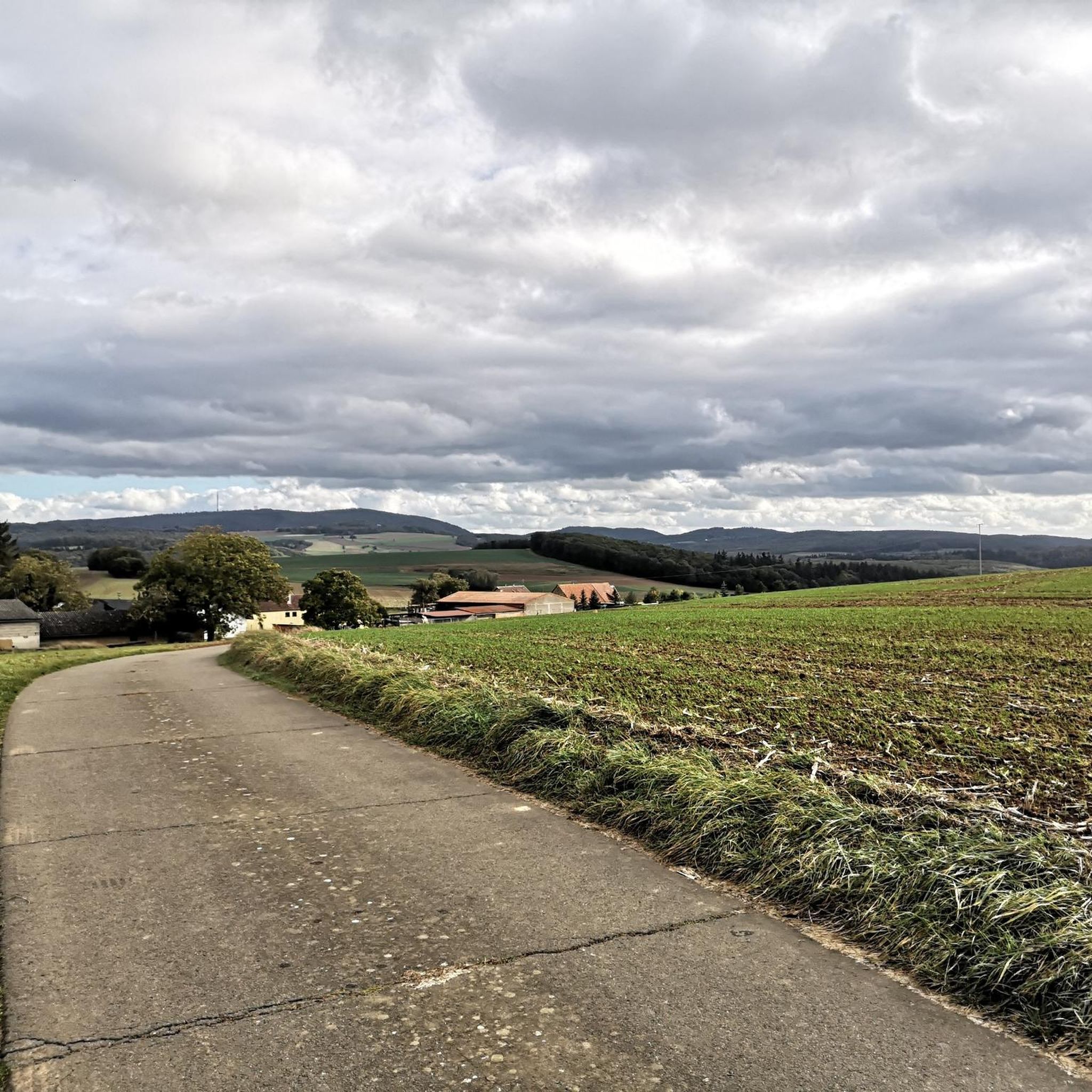
Wide views over the Palatinate Mountains, today autumn sun and the colors of the Indian Summer
0
0

As the name suggests, there's a beautiful view here. There are also several benches and tables for resting.
1
0

Beautiful view over Katzenbach and Alsenztal towards Donnersberg
0
0

At least the foundations are still visible
0
0
Frequently Asked Questions
What kind of terrain can I expect on hiking trails around Dielkirchen?
The Dielkirchen region offers a diverse range of terrain. You'll find paths through dense forests, open countryside, and areas influenced by the volcanic Donnersberg massif, the highest elevation in the Palatinate. This includes both challenging ascents and descents, as well as more gentle routes through varied landscapes.
Are there many hiking trails available in Dielkirchen?
Yes, Dielkirchen boasts an extensive network of hiking trails. There are over 500 routes available, catering to various preferences. This includes more than 250 easy trails, over 230 moderate options, and around 20 more difficult routes for experienced hikers.
What are some notable viewpoints or natural features to see while hiking in Dielkirchen?
The region is rich in panoramic viewpoints and unique natural features. You can visit the Adlerbogen Viewpoint, which offers eastward views across the Zellertal and Worms to the Odenwald, or reach the Königsstuhl, the summit of the Donnersberg, for expansive vistas. The Hirtenfels Viewpoint also provides beautiful views into the Palatinate.
Are there any family-friendly hiking options in Dielkirchen?
Yes, Dielkirchen offers numerous family-friendly trails. Many of the over 250 easy routes are suitable for families. An example is the Villa Rustica – View of Rockenhausen loop from Rockenhausen, an easy 5.5 km trail that takes about 1 hour 30 minutes to complete.
Can I find circular hiking routes in the Dielkirchen area?
Absolutely. Many trails in Dielkirchen are designed as circular routes, allowing you to start and end at the same point. An example is the moderate Heinrichsbacher Hof – Hengstbacherhof loop from Sankt Alban, which covers 10.4 km.
What do other hikers say about the trails in Dielkirchen?
The hiking trails around Dielkirchen are highly regarded by the komoot community, with an average rating of 4.6 stars from over 5,400 reviews. More than 21,000 hikers have explored the area using komoot, often praising the diverse terrain and panoramic views.
Are there any historical or cultural points of interest along the hiking trails?
Yes, the region combines natural beauty with historical elements. For instance, the Celtic Sculpture Path extends from the Adlerbogen, featuring 13 stations with informational boards. Additionally, the Villa Rustica – View of Rockenhausen loop from Rockenhausen passes through areas of historical interest.
Are there any challenging hikes for experienced trekkers?
For experienced hikers seeking a challenge, Dielkirchen offers several difficult routes. The Donnersberg massif provides rugged terrain suitable for longer and more strenuous treks. An example is the difficult View of Donnersberg – Stahlberg Menhir loop from Rockenhausen, which is nearly 20 km long and features significant elevation changes.
What kind of natural landscapes define the Dielkirchen hiking experience?
The Dielkirchen hiking experience is largely defined by its proximity to the Donnersberg, a volcanic massif that is the highest point in the Palatinate, and its location near the expansive Pfälzerwald Nature Park. This combination results in diverse landscapes, from dense woodlands and volcanic rock formations to open areas with far-reaching views.
Are there any specific attractions or landmarks near Dielkirchen that I can combine with a hike?
Beyond the trails themselves, you can explore several attractions. The Königsstuhl (Donnersberg summit) and the Adlerbogen Viewpoint are popular natural monuments. You might also encounter the Ruins of Falkenstein Castle or the unique Iron Man at Beutelfels.
What is the best time of year to go hiking in Dielkirchen?
The diverse landscapes of Dielkirchen, from forests to open viewpoints, make it suitable for hiking across multiple seasons. Spring and autumn offer pleasant temperatures and vibrant scenery, while summer provides longer daylight hours. Even in winter, some trails can be enjoyed, especially those with less challenging terrain.
Are there any trails that offer views of the Alsenz valley?
Yes, some routes provide scenic views of the Alsenz valley. For example, the moderate View of the Alsenz – View of Würzweiler loop from Rockenhausen is a 9.1 km trail that offers glimpses of the valley and surrounding countryside.
Most popular attractions around Dielkirchen

Get inspired with the komoot mobile app


Explore more
Browse the best Hikes in other regions.
