The 7 Most Amazing Peaks around Schlierschied
Best mountain peaks around Schlierschied are found in the Rhein-Hunsrück-Kreis district of Rhineland-Palatinate, Germany. This village, situated at an elevation of 369 meters, provides access to various mountain peaks and viewpoints within the Soonwald forest. The region offers diverse landscapes, from dense forests to rolling hills, providing opportunities for exploration. Nearby peaks offer impressive views and hiking experiences.
Best mountain peaks around Schlierschied
- The most popular mountain peaks is Koppenstein Tower and Ruins, a castle that offers a 360-degree…
Last updated: June 27, 2026
Koppenstein Tower and Ruins
Highlight • Castle
Translated by Google •
Tip by

Alteburg Tower
Highlight • Monument
Translated by Google •
Tip by

Sign up now to discover places like this
Get recommendations on the best single tracks, peaks, & plenty of other exciting outdoor places.
Sign up for free
Hieleberch summit cross
Highlight • Summit
Translated by Google •
Tip by

Gemündener Höhe Summit
Highlight • Summit
The path over the rocky rocks of the Rosselhalde hides many holes covered by leaves, so be careful!
Translated by Google •
Tip by
View from Habichtskopf
Highlight • Viewpoint
At the Habichtskopf there is …
Translated by Google •
Tip by
Sign up for free to discover even more peaks around Schlierschied.
Sign up for free
Already have an account?
Start today with a free account
Your next adventure awaits.
Login or Signup

Tips from the Community

You absolutely must do this climb; the view is priceless.
0
0

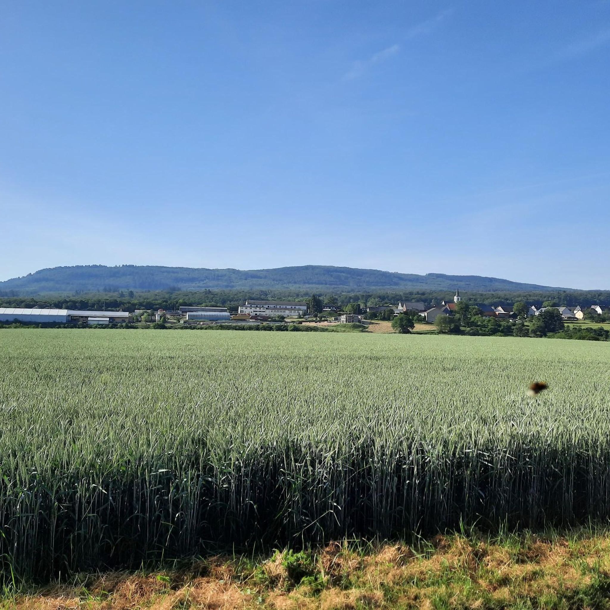
Great view of Kelenbach from the bench at the summit cross
0
0

“Each of these crosses can tell its own story and what motivated people to erect“ their ”cross at this point. (...) These crossroads were erected as visible signs and attract the eyes of many people. The cross is a symbol of life. It stands as a sign of our Christian hope and wants to direct our gaze to Jesus Christ, who overcame death (...). The cross is part of our life, just as it was part of the life of Jesus. So I hope that many people ... visit the crossroads, whether as places of silence and breathing before God, whether as places of congregation meeting, prayer and praise of God. " (Dean Rainald M. Ollig in "Wegekreuze")
0
8

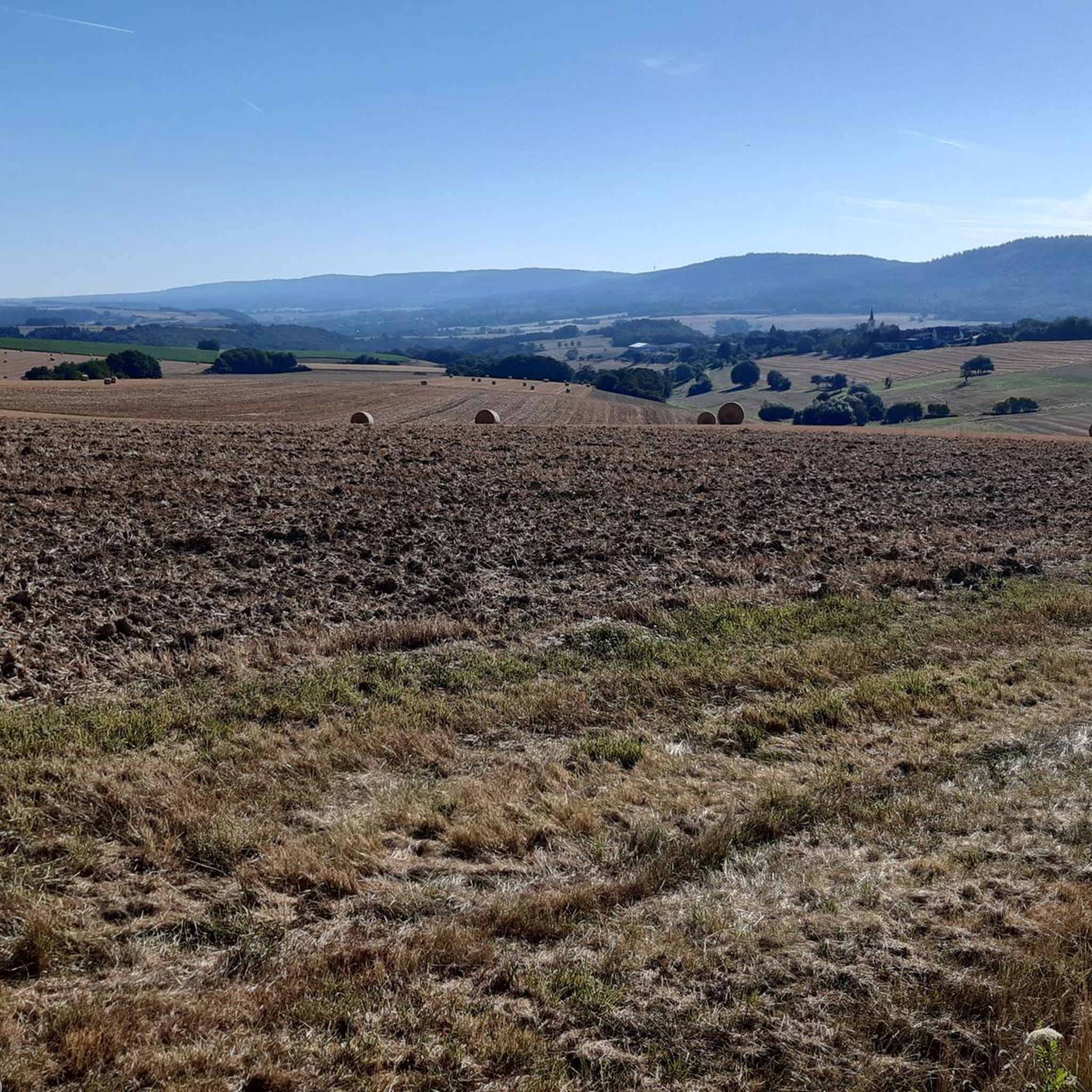
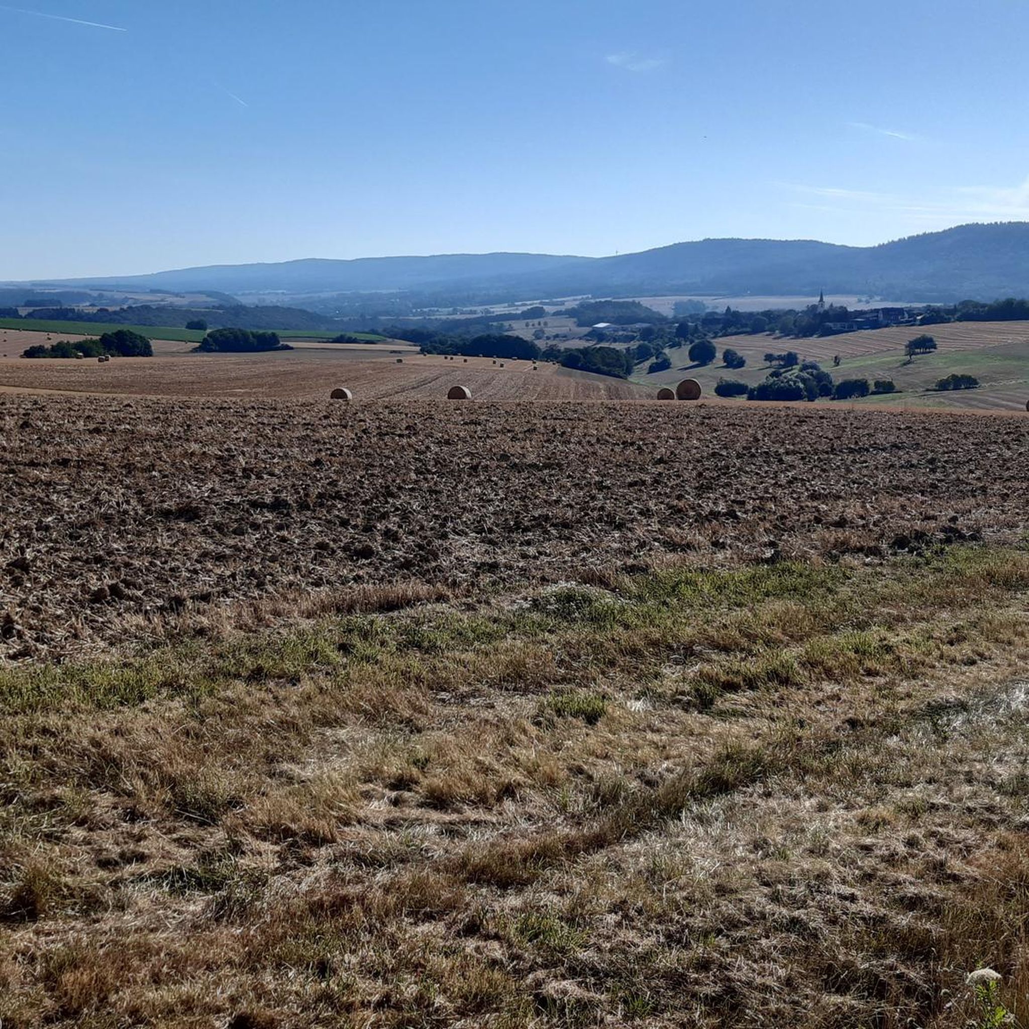
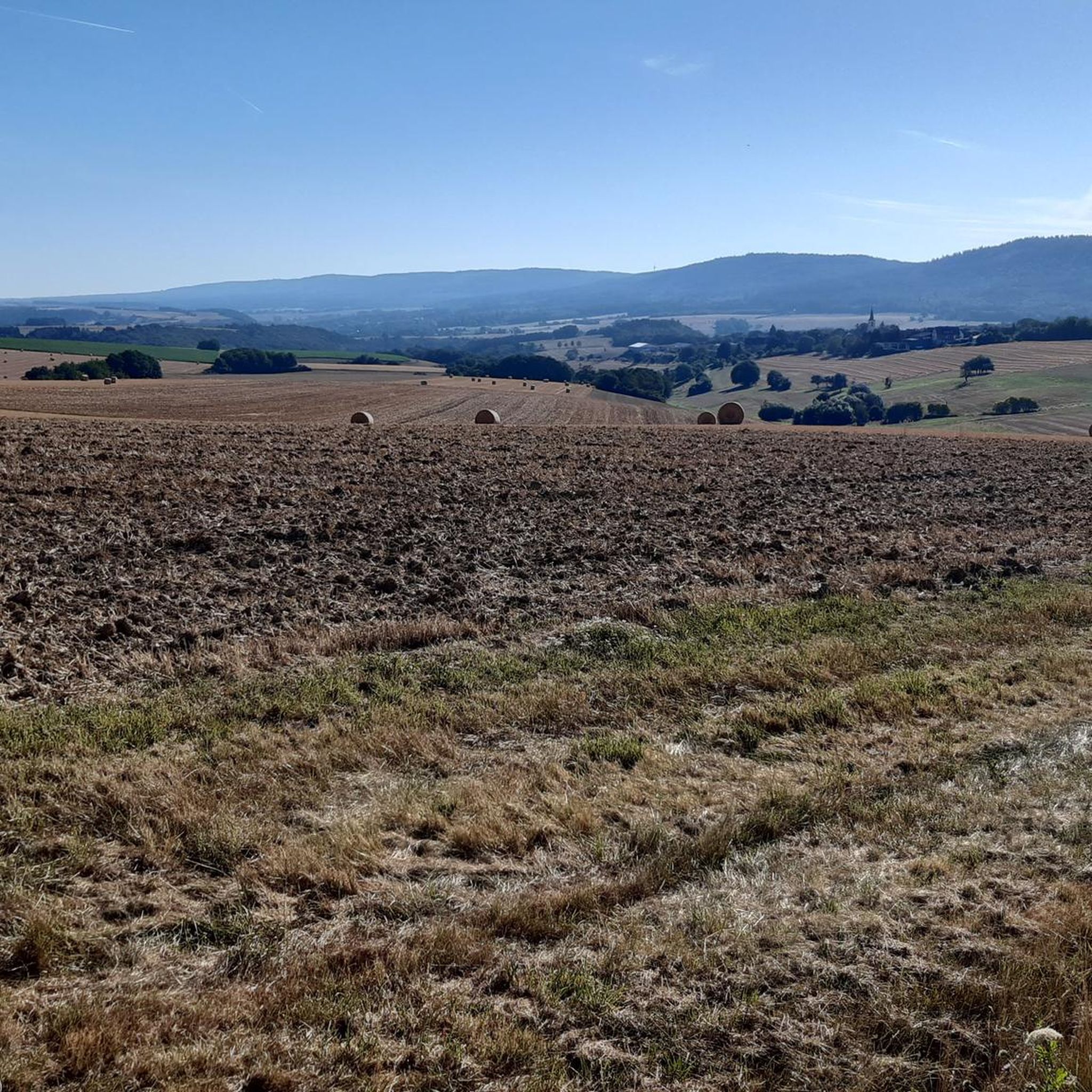
A rather inconspicuous "peak" is the 425 meter high hawk head. The highest point of the VITAL tour "Felsengarten". From here on it goes downhill 😏
2
0

The highest point on the Vitaltour Felsengarten and once more wonderful panoramic views
0
0

Fine, varied circular route with many beautiful views.
0
0

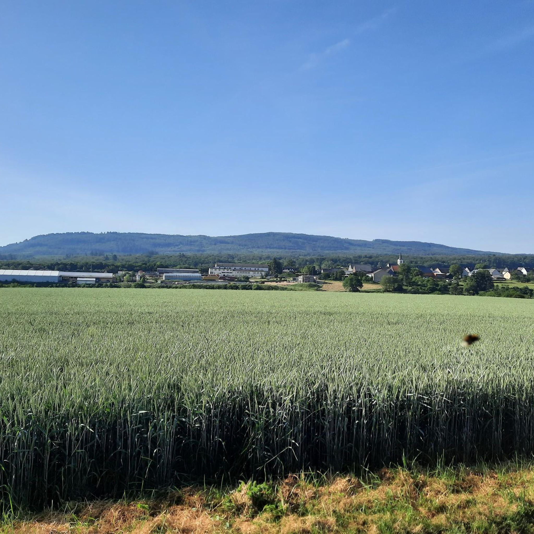
The hawk's head is not the highest elevation on the Braunenberg near Simmertal, it goes twenty meters higher at the Eichheck, which is, however, wooded. At the Habichtskopf there is a rest bench with a view over the fields towards Reinertshöh and Gonratherhof.
2
0

This "gipfel" or peak is very easy to reach. It's only a few meters from the given pathways, and is easy to hike up to, although you do have to be careful since the ground is very stoney, and moss covered. Although there is not much of a view from up there because of all of the trees, it is one of the highest points in the Hunsrück and fun to have been on top. Next to the peak is also an ancient Grenzstein, or border stone that can be of interest. The peak also is the county line between two German counties.
0
0
Frequently Asked Questions
What are some of the most notable mountain peaks and viewpoints around Schlierschied?
The region around Schlierschied offers several impressive peaks and viewpoints. Among them are the Koppenstein Tower and Ruins, which provides a 360-degree panoramic view from its 16-meter high keep. Another significant spot is the Alteburg Tower, a 20-meter high lookout tower offering wide landscape views from one of the Soonwald's highest mountains. You can also find the Hieleberch summit cross, which offers a great view of the Kellenbachtal.
Are there any historical sites or structures on the mountain peaks near Schlierschied?
Yes, several peaks feature historical structures. The Koppenstein Tower and Ruins is a castle ruin with a climbable keep that dates back centuries. The Alteburg Tower, a man-made monument, has stood on its summit since 1893, offering historical context alongside its panoramic views. The Region Research also mentions the Hochsteinchen Lookout Tower, which has been present since 1893.
What kind of views can I expect from the mountain peaks in this area?
The mountain peaks and viewpoints around Schlierschied offer diverse and expansive views. From the Koppenstein Tower, you get a full 360-degree panorama of the Hunsrück plateau. The Alteburg Tower provides a wonderful view over the wide landscape of the Soonwald. The View from Hellberg offers perspectives of Hochstetten-Dhaun and a quarry, while the Teufelsfels is known for its magnificent panoramic view over the Hunsrück.
What is the best time of year to visit the mountain peaks around Schlierschied?
The region is particularly appealing during autumn when the foliage transforms into vibrant colors, enhancing the beauty of the hikes. However, the observation towers and viewpoints are generally accessible year-round, offering different scenic experiences with each season.
Are there family-friendly hiking options among the mountain peaks?
Yes, the region offers suitable, well-signposted routes that are engaging for nature exploration, including options for families. While specific 'family_friendly' tags aren't present for all highlights, many trails leading to these peaks are accessible for various fitness levels, making them suitable for family outings.
What outdoor activities can I do near these mountain peaks?
The area around Schlierschied is excellent for various outdoor activities. You can find numerous hiking trails, including sections of the long-distance Soonwaldsteig, that lead through these elevated areas. There are also options for gravel biking and mountain biking. For more details on routes, you can explore the Hiking around Schlierschied guide, the Gravel biking around Schlierschied guide, and the MTB Trails around Schlierschied guide.
What do visitors enjoy most about the mountain peaks near Schlierschied?
Visitors frequently highlight the breathtaking panoramic views, especially from towers like Koppenstein Tower and Alteburg Tower. The sense of accomplishment from reaching a summit or viewpoint, even if it involves a steep climb, is often mentioned. The natural beauty of the dense forests and rolling hills, particularly during autumn, is also a major draw.
Are there any challenging climbs or trails to reach the peaks?
Some paths can be challenging. For instance, reaching the Koppenstein Tower involves climbing a narrow steel staircase. The path to the Hieleberch summit cross is described as steep along a rock ridge. While many trails are accessible for various fitness levels, some sections, like those near the View from Hellberg, can be rocky and steep.
Is there a highest point in the Rhein-Hunsrück district that I can visit?
Yes, the Simmerkopf, at 653 meters above sea level, stands as the highest elevation in the Rhein-Hunsrück district. While its summit is characterized by a spruce monoculture, it features a cross with explanations and a resting bench, making it a significant peak for those looking to conquer the district's highest point.
Are there any unique natural features or 'hidden gems' among the peaks?
The Gemündener Höhe Summit, while not offering expansive views due to trees, is notable for a boulder surrounded by a Rosselhalde made of volcanic basalt with quartzite veins. Hikers are advised to be careful due to the stony, moss-covered ground. It's also one of the highest points in the Hunsrück and features an ancient border stone.
Most popular routes around Schlierschied
Most popular attractions around Schlierschied

Get inspired with the komoot mobile app


Explore more
See even more amazing summits around Schlierschied with these guides:
