The best gravel rides around Schlierschied
4.7
(14)
86
riders
26
rides
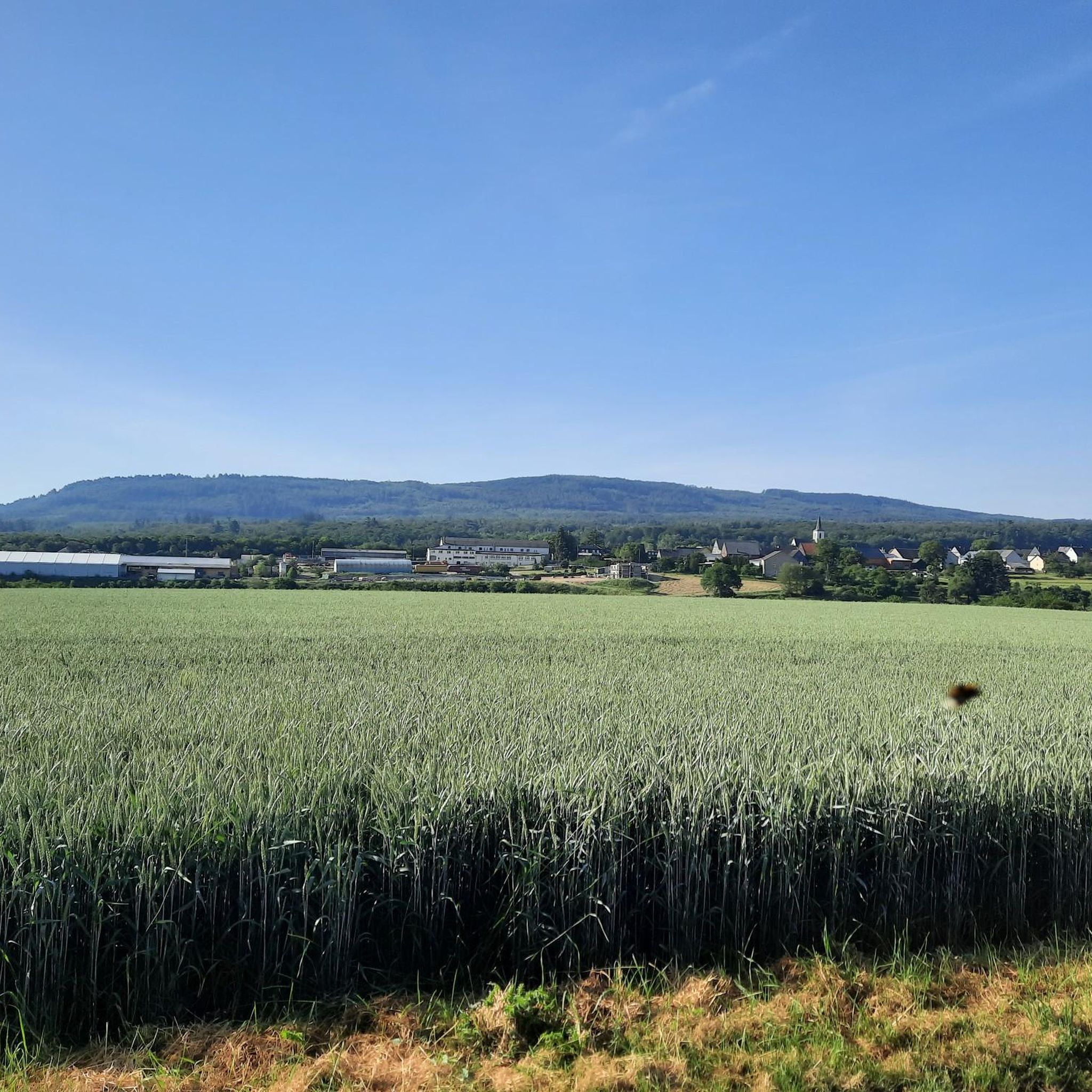
Gravel bike trails around Schlierschied are set within the diverse terrain of Germany's Rhein-Hunsrück-Kreis, characterized by the Hunsrück Mountains and the Soonwald-Nahe Nature Park. The region offers a mix of forest paths, country roads, and varied trails, ideal for gravel biking. Riders can expect surfaces ranging from tarmac to loose gravel, with the Nahe River contributing to the natural scenery. This area provides an engaging environment for gravel biking, combining off-road capabilities with speed.
Best gravel bike trails around Schlierschied
…Last updated: July 2, 2026
5.0
(1)
6
riders
73.7km
05:07
980m
980m
Hard gravel ride. Very good fitness required. You may need to push your bike for some segments of this route.
4.8
(5)
7
riders
Hard gravel ride. Good fitness required. You may need to push your bike for some segments of this route.

Sign up for free
5.0
(1)
6
riders
31.2km
02:12
470m
470m
Hard gravel ride. Very good fitness required. Mostly paved surfaces. Suitable for all skill levels.
3.0
(1)
6
riders
63.3km
04:03
830m
830m
Hard gravel ride. Very good fitness required. Mostly paved surfaces. Suitable for all skill levels.
5.0
(1)
7
riders
57.6km
03:28
570m
570m
Hard gravel ride. Very good fitness required. Mostly paved surfaces. Suitable for all skill levels.
Get access to more routes and recommendations from other explorers.
Sign up for free
Already have an account?
Our route recommendations are based on thousands of hikes, rides, and runs completed by other people on komoot.
Start today with a free account
Your next adventure awaits.
Login or Signup
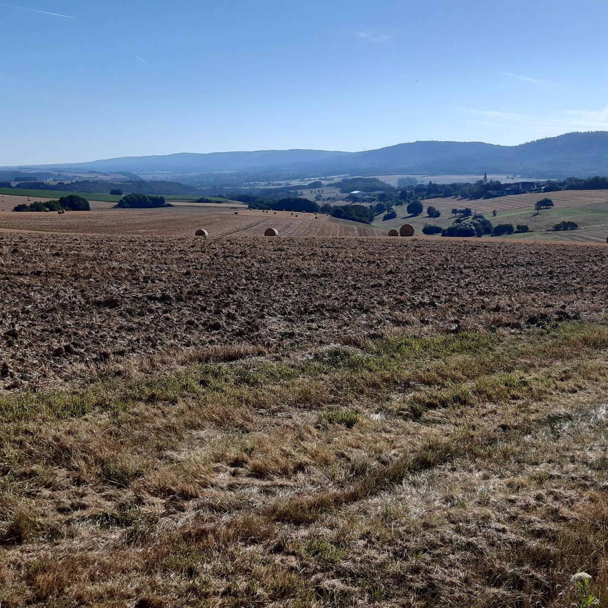
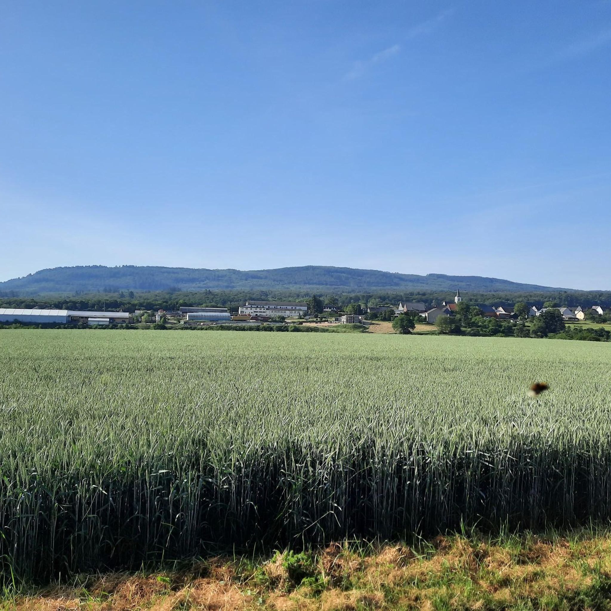
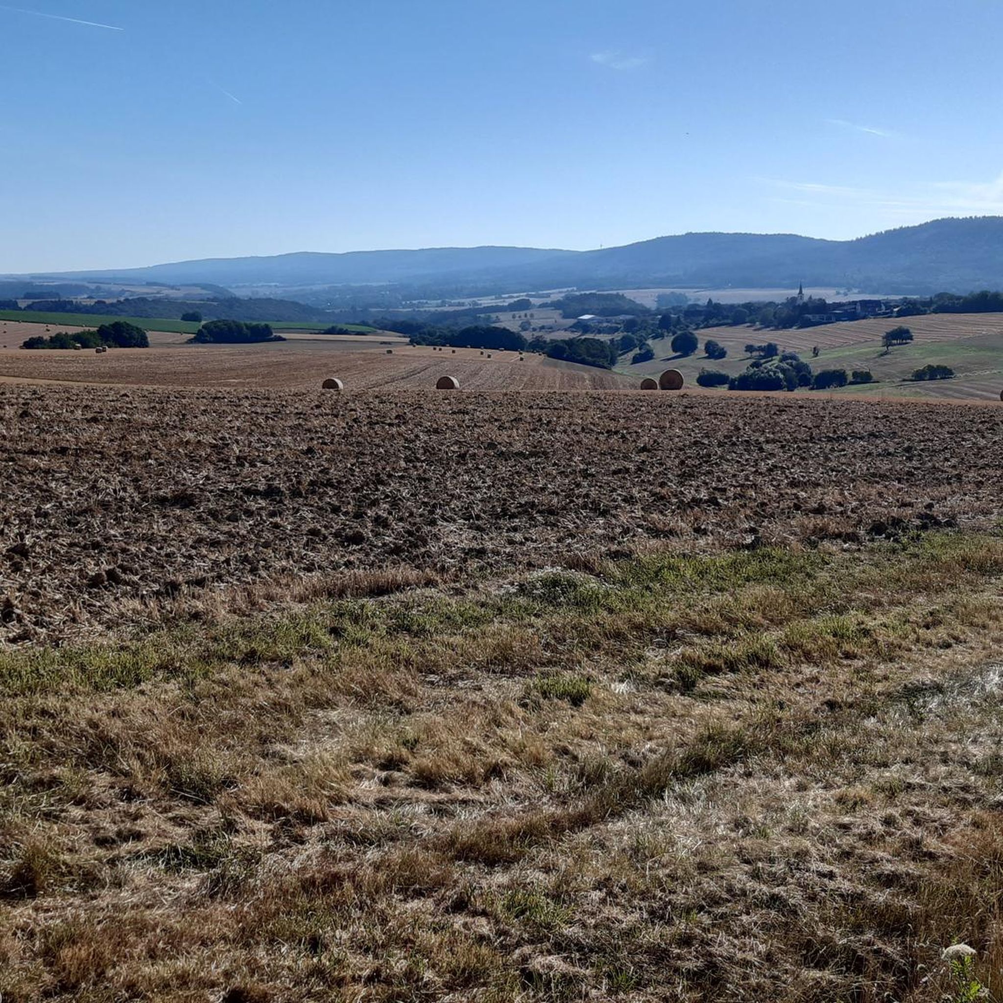
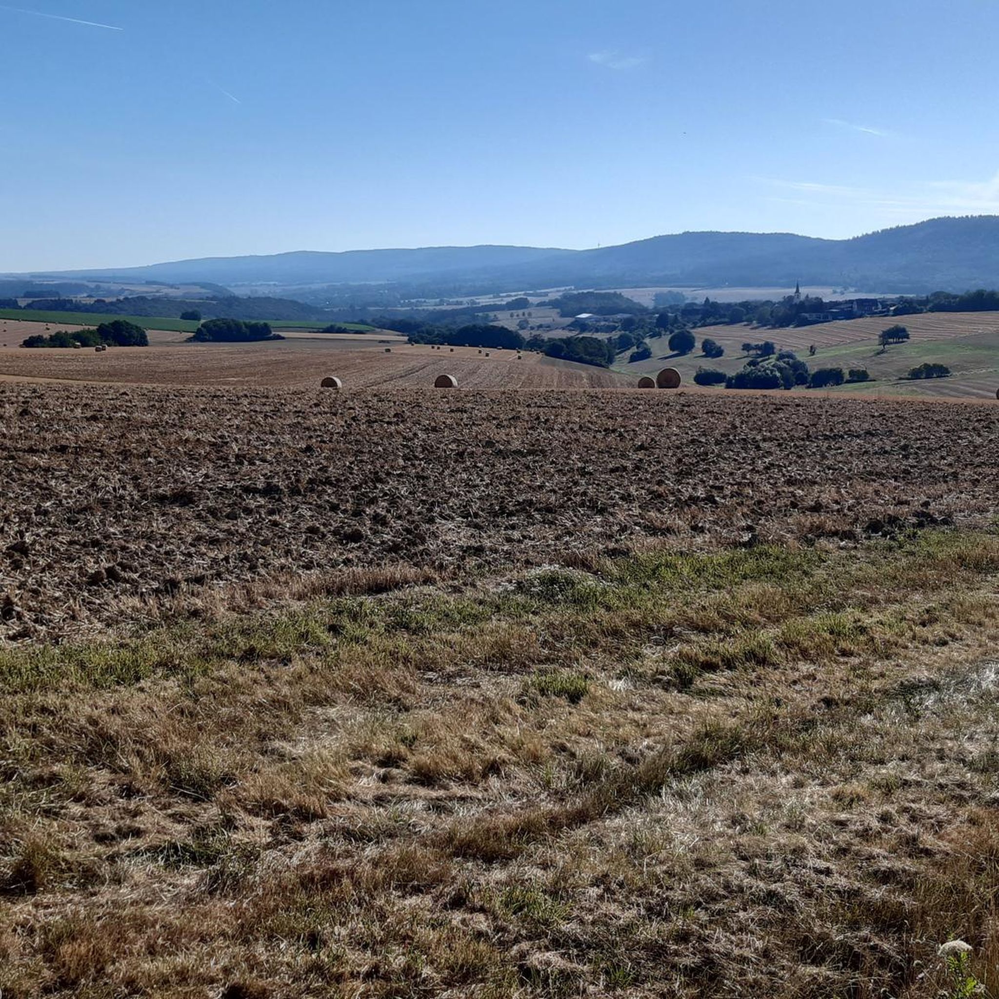
Tips from the Community

Very good shots and explanations
0
0

Can be ridden super and around the elevations nice
0
0

Spacious recreational area with a pond, foot bath, and large children's playground, barbecue area, sanitary facilities. Reservation of the area via the local mayor.
0
0

Very nice up here
0
0
Absolutely interesting old building
0
0
Nicely laid out, looks nice.
0
0
Frequently Asked Questions
What is the general difficulty level of gravel bike trails around Schlierschied?
The gravel bike trails in the Schlierschied area are primarily suited for experienced riders, with most routes rated as difficult. There are also a number of moderate routes available, but no easy trails are specifically categorized for gravel biking. Riders should be prepared for varied terrain and significant elevation changes.
What kind of terrain can I expect on gravel bike routes in Schlierschied?
You can expect a diverse range of surfaces, from tarmac to loose gravel and even root-covered trails. The routes traverse the Hunsrück Mountains and the Soonwald-Nahe Nature Park, offering a mix of forest paths and country roads, providing an engaging and dynamic riding experience.
Are there any routes that offer panoramic views or scenic highlights?
Yes, the Rhein-Hunsrück-Kreis is known for its stunning panoramic views. For example, the route View from Limbacher Höhe – View of Meckenbach loop from Hochstetten (Nahe) offers expansive vistas over the Nahe region. Many routes also pass through picturesque natural areas and offer various lookout points.
Can I find historical landmarks or interesting attractions along the gravel trails?
Absolutely. The region is rich in history and natural beauty. You can encounter sites like the historic Koppenstein Tower and Ruins or the Hellkirch Ruins. Some paths even lead through unique rock tunnels, adding an adventurous element to your ride.
When is the best time of year to go gravel biking in Schlierschied?
The Hunsrück region, including Schlierschied, is generally enjoyable for cycling from spring through autumn. The diverse landscapes of the Hunsrück Mountains and Soonwald-Nahe Nature Park are particularly beautiful during these seasons, offering pleasant temperatures and vibrant scenery. Winter riding is possible but requires appropriate gear and caution due to potential snow or ice.
Are there any family-friendly gravel biking routes in the area?
While many gravel routes in Schlierschied are rated as moderate to difficult, the broader Hunsrück-Nahe bike region does offer varied terrain. For families or beginners, it's advisable to look for routes specifically designated as 'easy' or 'moderate' and consider the elevation profiles. Currently, the gravel routes around Schlierschied are primarily moderate to difficult.
Can I bring my dog on gravel bike trails in the Schlierschied area?
Many natural areas in Germany, including parts of the Soonwald-Nahe Nature Park, permit dogs, often requiring them to be on a leash to protect wildlife. It's always best to check specific regulations for the particular trail or nature reserve you plan to visit to ensure a dog-friendly experience.
What do other gravel bikers enjoy most about gravel biking in Schlierschied?
The komoot community highly rates the gravel biking experience in Schlierschied, with an average score of 4.3 stars. Riders frequently praise the varied terrain, which combines forest paths, country roads, and challenging trails, as well as the scenic beauty of the Hunsrück Mountains and Soonwald-Nahe Nature Park.
Are there any circular gravel bike routes available?
Yes, many of the gravel bike routes around Schlierschied are designed as loops. For instance, the View of Gemündener Castle – Schmiedel Tunnel (Simmern) loop from Dickenschied is a popular circular option, allowing you to start and end at the same point.
Are there opportunities for bikepacking or overnight stays along the routes?
The Hunsrück-Nahe bike region is known for bikepacking opportunities. The region features 'Hunsrück Gravel Fairy Tales' routes, some of which include options for overnight stays in trekking camps within the Hunsrück-Hochwald National Park or the Soonwald-Nahe Nature Park. For example, the Schmidtburg Castle Ruins, about 5 km from Schlierschied, even offer an official trekking site for overnight camping.
Are there any waterfalls or unique natural monuments to see?
Yes, the region boasts several natural attractions. You can find the Trübenbach Waterfall and the Devil's Rock, which is also a viewpoint. The NSG Trübenbachtal and Kirner Dolomiten Highlights also offer unique natural beauty.
What is the longest gravel bike route in the Schlierschied area?
One of the longer routes available is the View of Gemündener Castle – Schmiedel Tunnel (Simmern) loop from Dickenschied, which spans 73.6 km (45.7 miles) and features significant elevation gain, making it a challenging and rewarding ride.
Most popular routes around Schlierschied
Most popular attractions around Schlierschied

Get inspired with the komoot mobile app


Explore more
Browse the best Gravel rides in other regions.
