Top 13 Huts and Cabins around Königsberg in Bayern
Best huts around Königsberg in Bayern are situated in the Haßberge region, offering diverse options for hikers and nature enthusiasts. This area is characterized by its rolling hills, forests, and views over the Maintal and Steigerwald. The huts provide opportunities for rest, refreshments, and sometimes accommodation, serving as key points along popular hiking routes. The region combines natural beauty with historical significance, making it a destination for outdoor activities.
Best huts around Königsberg in Bayern
- The most popular huts is…
Last updated: October 13, 2026
Schwedenschanze Observation Tower
Highlight • Viewpoint
Source:de.m.wikipedia.org/wiki/Schwedenschanze_(Ha%C3%9Fberge)
Translated by Google •
Tip by

Berghospitz, Zeiler Kuppel
Highlight • Cafe
Beautiful beer garden with Franconian snacks and Göller draft beer!
bierland-franken.de/biergaerten/berghospiz-zeiler-kaeppele
Translated by Google •
Tip by

Sign up now to discover places like this
Get recommendations on the best single tracks, peaks, & plenty of other exciting outdoor places.
Dornbusch Shelter on the Rennweg
Highlight • Mountain Hut
The refuge and the parking spaces are located directly on the Rennweg.
Translated by Google •
Tip by

Naturfreundehaus Warme Sonne
Highlight • Mountain Hut
Translated by Google •
Tip by

Tannenberghütte Ottenhausen
Highlight • Mountain Hut
Tel.: 09720 1583
google.de/maps/place/Tannenbergh%C3%BCtte+Ottenhausen/@50.1055839,10.338788,16z/data=!4m5!3m4!1s0x47a256f12ed300af:0x3c821ddcce68344e!8m2!3d50.1071965!4d10.34145
Tip by

Sign up for free to discover even more huts and cabins around Königsberg in Bayern.
Already have an account?
Start today with a free account
Your next adventure awaits.
Popular around Königsberg in Bayern

The National Natural Landscapes in Bavaria
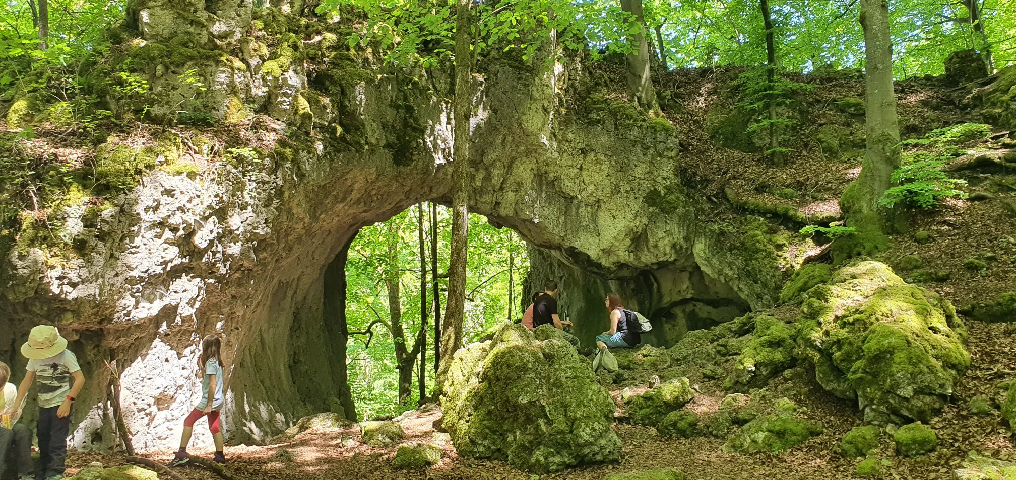
Catch the bus and train into nature – VGN Leisure Tips 2023
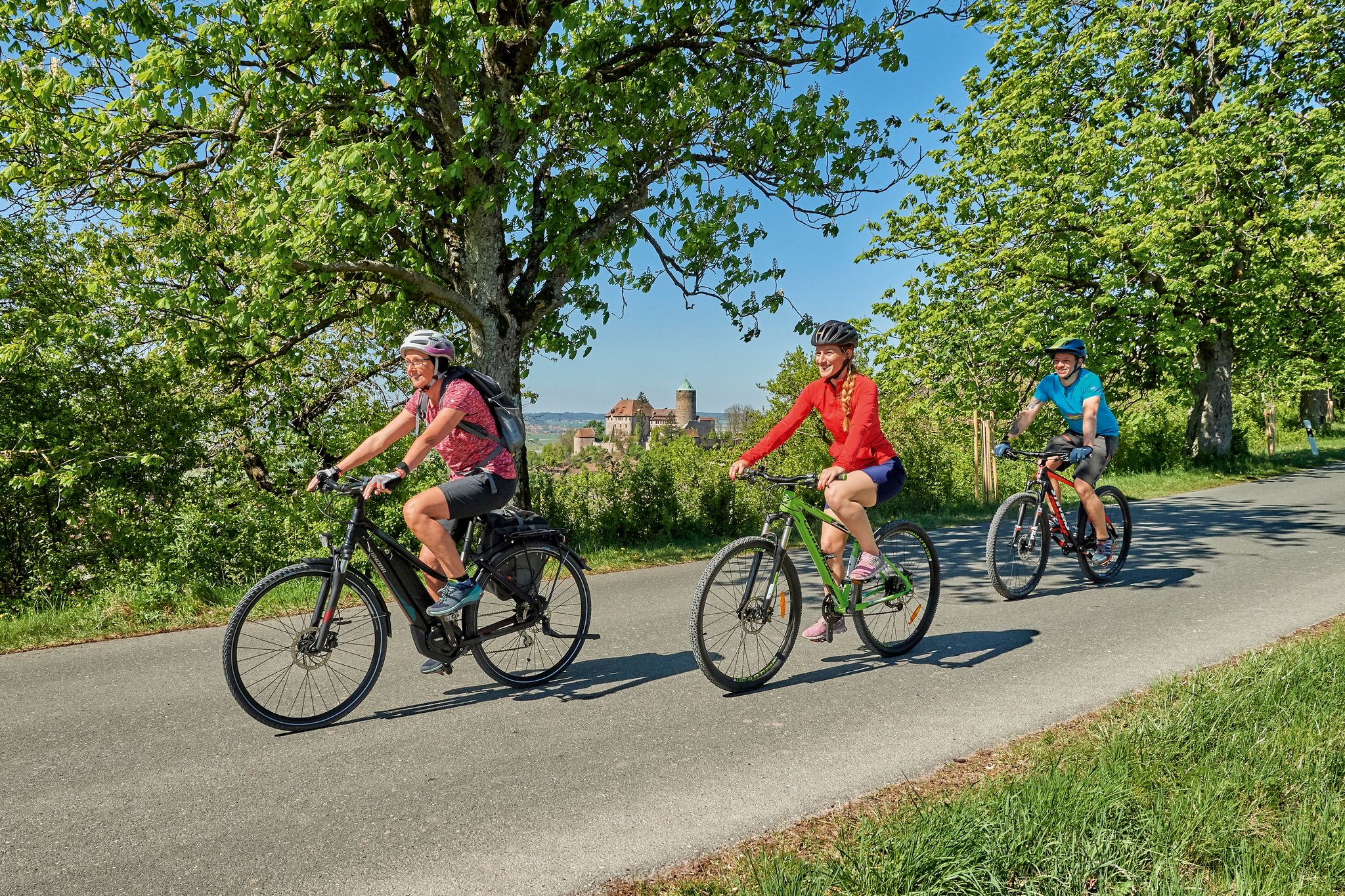
Magnificent cycling holidays — e-bike Tours through Franconia
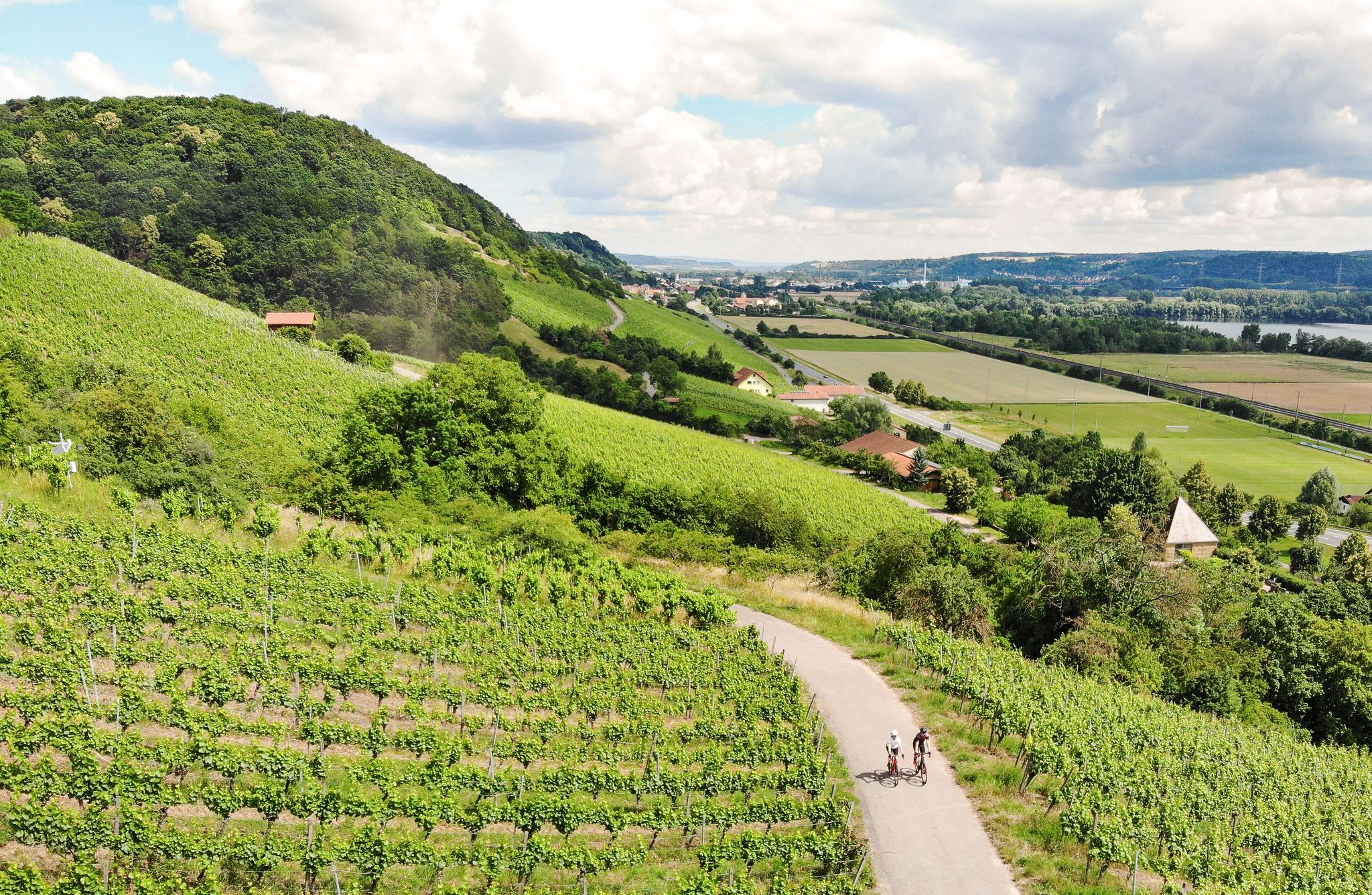
Castles, beer and wine — beautiful rides in the Hass mountains
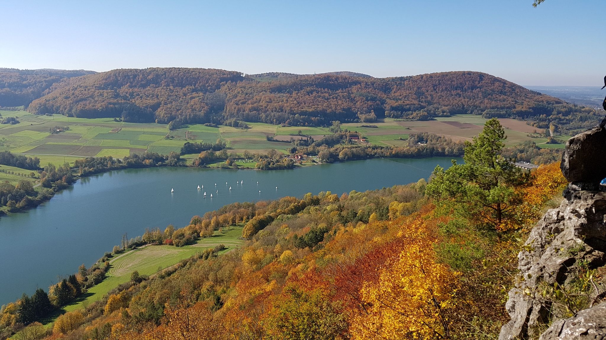
Colourful leaves & gentle hills – hiking in autumn in Franconia
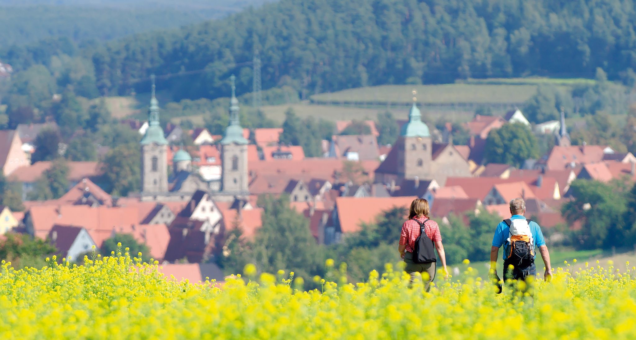
Unforgettable panoramic views — the most beautiful long-distance hikes in Franconia
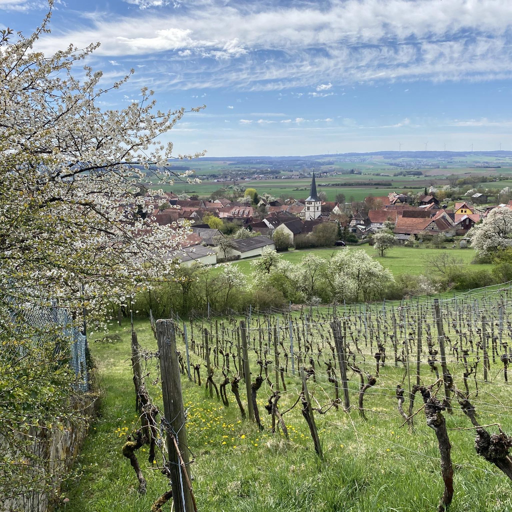
Hiking around Königsberg in Bayern
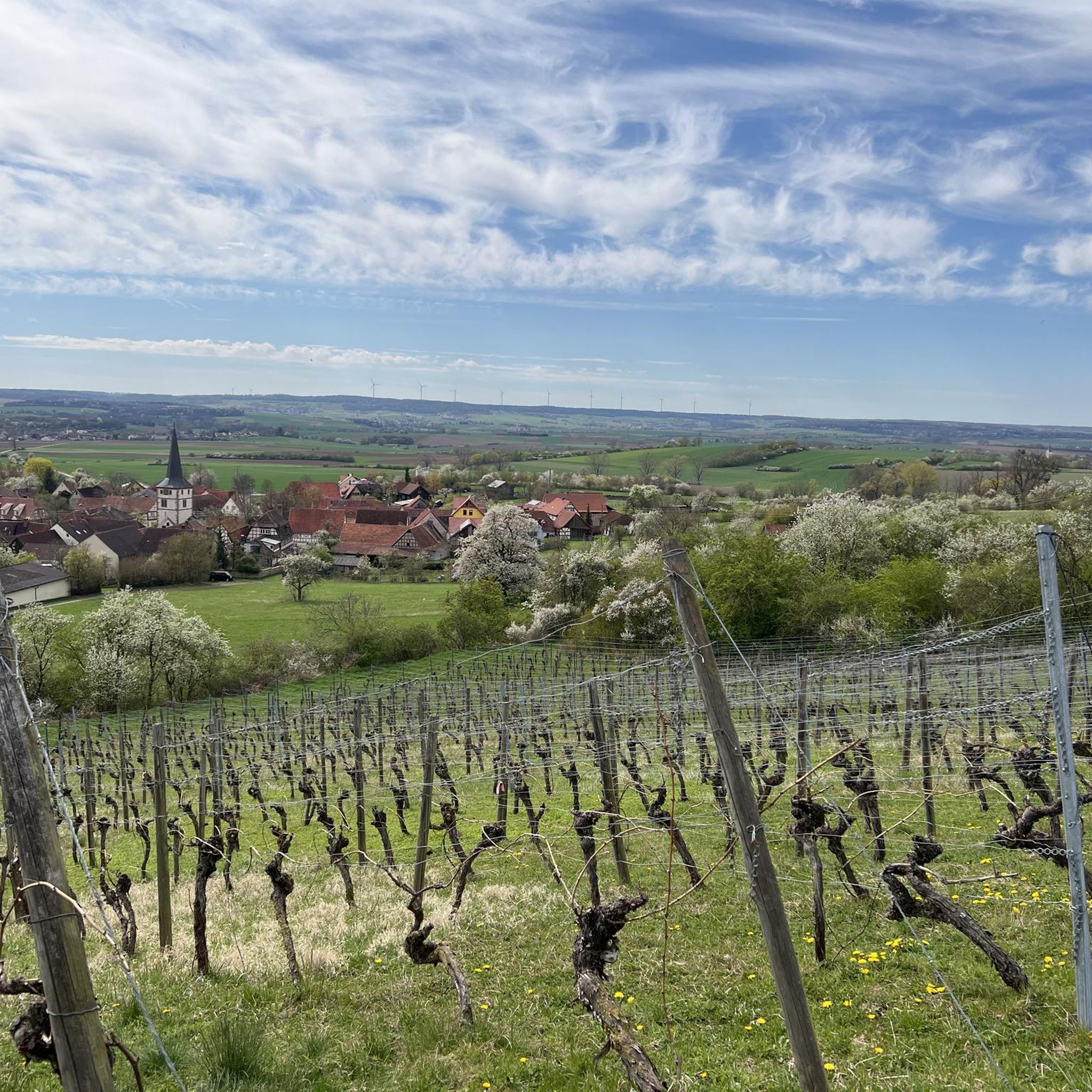
Cycling around Königsberg in Bayern
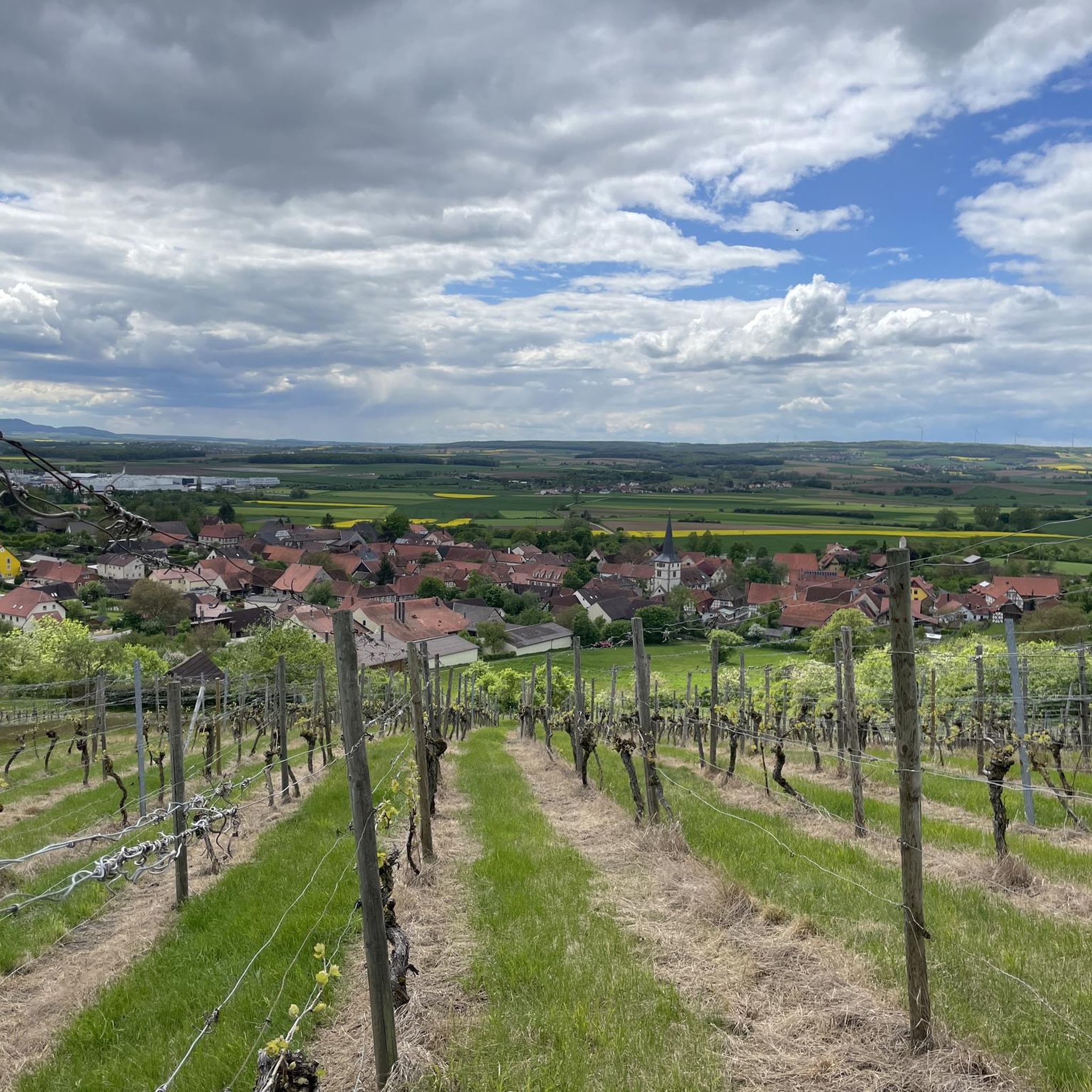
MTB Trails around Königsberg in Bayern
Road Cycling Routes around Königsberg in Bayern
Other adventures around Königsberg in Bayern


Tips from the Community

The food is good. The view is outstanding. It's quiet only as long as the bell isn't ringing.
0
0

The castle square is protected by steep slopes in the south, north and west. To the east the terrain spur merges into the ridge. In the west, a small, semicircular outer bailey was added to the ramparts. The former gates were probably located in the northwest at the junction of the main and outer bailey walls and in the east. The preserved ramparts are still several meters high and are surrounded by deep outer ditches with low ramparts. The entire complex is around 330 meters long and up to 170 meters wide. Archaeological investigations show that the most recent fortification phase was a two-fronted wall made of wood and earth. This fortification probably replaced two proven older wood-earth-stone walls in the Carolingian-Ottonian period. However, the earliest traces of settlement date back to the Urnfield period, and the area also served as a settlement site during the Hallstatt and early La Tène periods. Source:https://de.m.wikipedia.org/wiki/Schwedenschanze_(Ha%C3%9Fberge)
14
1
The Schwedenschanze is a prehistoric ring wall at 487 m above sea level. NN high elevation on the ridge of the Haßberge near the Burgstall Rottenstein and the Rennweg in Lower Franconia. Source:https://de.m.wikipedia.org/wiki/Schwedenschanze_(Ha%C3%9Fberge)
14
0
From Eichelsdorf, a winding road leads up to the parking lot right in front of the mountaintop. The short climb from there cuts through an old prehistoric ring wall, which encloses a square 260 m long and up to 120 m wide. In the access area, defensive walls staggered in height can be clearly seen. The main wall - originally up to two m high on the inside and up to five m high on the outside - is partially accompanied by a ditch. Access to the Schwedenschanze was via two secured gates. The Schwedenschanze is located on Rennweg. This was already integrated into a large network of paths in prehistoric times. Another important route led in a southeasterly direction over this height. Protecting the resulting crossroads was probably one of the tasks of the Schwedenschanze. Source: https://www.baysf.de/de/wald-erkunden/ausflugsziel-tipps/ outlooksturm-schwedenschanze.html
14
1
On the ridge of the Haßberge at around 500 m above sea level, above Eichelsdorf, there is a so-called Schwedenschanze. It is probably originally from the Celtic period, which includes various cultures (Hallstatt, La Tène) (around 800 BC to the birth of Christ). At that time, entrenchments served as the Druid's seat and were ritual places. During the Thirty Years' War, many Celtic redoubts were expanded or converted into defensive ramparts, so that they offered the population refuge from the troops of the Swedish king. From the observation tower you can enjoy a panoramic view of the Bavarian and Thuringian Rhön, the Franconian Alb, the Steigerwald and the Schweinfurter Land. The tower and the Dr. The Kramer Hut is open and staffed from March to October on weekends and public holidays from 10:00 a.m. to 6:00 p.m. Source: https://www.baysf.de/de/wald-erkunden/ausflugsziel-tipps/ outlooksturm-schwedenschanze.html
15
2

The Rennweg runs through the Franconian regions of Bamberg, Hassberge, Schweinfurt and Rhön-Grabfeld. Because of its special nature experience and its history, it is one of the most interesting hiking trails in the Hassberge Nature Park. Historically documented as a messenger and courier route, the Rennweg always runs along the crests of the Haßberge and avoids the slopes and lowlands. Hikers can make interesting detours down the valley on both sides of the path. Total length between Dörfleins (near Hallstadt) and Sulzfeld i. Grave field: 60 km. Many love its silence and pristine nature, the shady forests, the spicy scent or the singing of the birds. Others appreciate the picturesque views of the vast valley and meadows of the Haßberge Nature Park, with picture-book villages and fairy-tale castles. Attention: The Rennweg is also marketed as a cycle route. The hiking route and the cycle route deviate from each other on individual sections of the route. The bike course is signposted with the symbol "White R on a black background". distance Total length between Dörfleins (near Hallstadt) and Sulzfeld i. Grave field: 60 km Source: https://www.landkreis-bamberg.de/Erleben/Tourismus-und-Freizeit/Aktiv-sein/Wandern/Themenwanderwege/Rennweg-in-den-Ha%C3%9Fbergen.php?object=tx,2892.5&ModID =7&FID=2892.1411.1&NavID=2892.330&La=1
8
2

The Dornbusch car parks are popular as a starting point for hiking or cycling. The refuge and the parking spaces are located directly on the Rennweg.
9
2
Frequently Asked Questions
What unique experiences do the huts around Königsberg in Bayern offer?
The huts in the Haßberge region provide diverse experiences. For instance, the Berghospitz Zeiler Kuppel is known for its beautiful beer garden, Franconian snacks, and panoramic views over the Maintal. The Schwedenschanze Observation Tower, which includes the Dr. Kramer-Hütte for refreshments, offers extensive views and historical significance as a prehistoric ring wall.
Are there family-friendly huts in the Königsberg in Bayern area?
Yes, several huts are family-friendly. The Naturfreundehaus Warme Sonne in Zeil am Main is an excellent option, offering accommodation, a self-catering kitchen, a common room, and an outdoor playground with a slide, carousel, and sand area. Other family-friendly spots include the Berghospitz Zeiler Kuppel and the Dornbusch Shelter on the Rennweg.
Which huts offer the best panoramic views?
For breathtaking panoramic views, visit the Berghospitz Zeiler Kuppel, which is perched high above the Maintal and offers vistas of the Maintal and Steigerwald. The Schwedenschanze Observation Tower also provides extensive views of the Bavarian and Thuringian Rhön, Franconian Alb, Steigerwald, and Schweinfurter Land.
Can I find accommodation at any of the huts?
Yes, the Naturfreundehaus Warme Sonne in Zeil am Main provides accommodation with 21 beds, two shower rooms, a self-catering kitchen, and a common room, making it suitable for overnight stays.
What kind of food and refreshments can I expect at the huts?
Many huts offer refreshments and local specialties. The Berghospitz Zeiler Kuppel is known for traditional Franconian snacks and local Göller beer on tap. The Naturfreundehaus Warme Sonne offers homemade pies, cakes, rich snacks, and a changing hot dish, especially on the first Sunday of the month. The Dr. Kramer-Hütte at the Schwedenschanze Observation Tower also provides refreshments.
Are there any huts with historical significance?
Yes, the Schwedenschanze Observation Tower is located on a prehistoric ring wall that served as a refuge during the Thirty Years' War. Additionally, the Dornbusch Shelter on the Rennweg is situated directly on the historic Rennweg, a prehistoric trade route.
What outdoor activities can I do near these huts?
The huts serve as excellent starting points for various outdoor activities. The Dornbusch Shelter on the Rennweg is a popular starting point for hiking and cycling tours along the historic Rennweg. You can find numerous easy hikes, running trails, and road cycling routes around Königsberg in Bayern.
Are there specific operating hours for the huts?
Some huts have specific operating hours. For example, the Tannenberghütte Ottenhausen is generally open on the first Thursday of the month and every Sunday afternoon. It's always a good idea to check the current operating hours before planning your visit, especially for smaller, volunteer-run huts.
What cultural events or unique features can I find at the huts?
The Tannenberghütte Ottenhausen, managed by the Musikverein Hesselbach, hosts "Wirtshaussingen" (traditional pub singing) on the first Thursday of each month, offering a unique cultural experience alongside refreshments.
Is there parking available near the huts or hiking trails?
Yes, for easy access, the Dornbusch Shelter on the Rennweg has nearby parking areas. The Schwedenschanze Observation Tower also has a parking lot close to the mountaintop, making it convenient for visitors.
What is the best time of year to visit the huts around Königsberg in Bayern?
The Haßberge region is beautiful year-round. Spring and autumn offer pleasant temperatures for hiking and cycling, with vibrant foliage or blooming nature. Summer is ideal for enjoying beer gardens and outdoor activities. Even in winter, some huts may be open, providing a cozy stop during a snowy walk, though it's best to check individual hut opening hours seasonally.
Are there any circular hiking routes that include these huts?
Many hiking trails in the region are designed as circular routes, often passing by or starting from these huts. The Dornbusch Shelter on the Rennweg is a key point on the historic Rennweg, which connects to numerous circular paths. You can explore various easy hikes around Königsberg in Bayern that often incorporate scenic points and huts.
Most popular routes around Königsberg in Bayern
Most popular attractions around Königsberg in Bayern

Get inspired with the komoot mobile app


Explore more
Find more beautiful huts and cabins around Königsberg in Bayern by checking out the top ones in these nearby places:
