The 7 Most Amazing Peaks around Langenfeld (Rheinland)
Best mountain peaks around Langenfeld (Rheinland) are characterized by elevated areas and hills rather than traditional mountain ranges. The region features a topography of gentle undulations, with the highest points reaching approximately 128 meters above sea level. These areas provide opportunities for walking and cycling, offering viewpoints over the surrounding countryside. The landscape includes natural features suitable for outdoor exploration.
Best mountain peaks around Langenfeld (Rheinland)
- The most popular mountain peaks is Theegartener Kopf viewpoint, a viewpoint and summit…
Last updated: July 10, 2026
Jaberg Observation Tower
Highlight • Monument
The …
Translated by Google •
Tip by

Taubenberg (81 m)
Highlight • Summit
de.wikipedia.org/wiki/Taubenberg_(Terminology%C3%A4rung)
(ME-034) >>
nsg.naturschutzinformation.nrw.de/nsg/de/fachinfo/gebiete/gesamt/ME_034
"... The Hilden city forest used to be interspersed with larger heath areas, which have now largely disappeared for many decades due to reforestation. Scattered …
Translated by Google •
Tip by

Sign up now to discover places like this
Get recommendations on the best single tracks, peaks, & plenty of other exciting outdoor places.
Sign up for free
Theegartener Kopf viewpoint
Highlight • Viewpoint
Translated by Google •
Tip by

View from the summit of Sandberg
Highlight • Viewpoint
Translated by Google •
Tip by

Klehmenhäuschenberg
Highlight • Summit
Translated by Google •
Tip by

Sign up for free to discover even more peaks around Langenfeld (Rheinland).
Sign up for free
Already have an account?
Start today with a free account
Your next adventure awaits.
Login or Signup
Popular around Langenfeld (Rheinland)
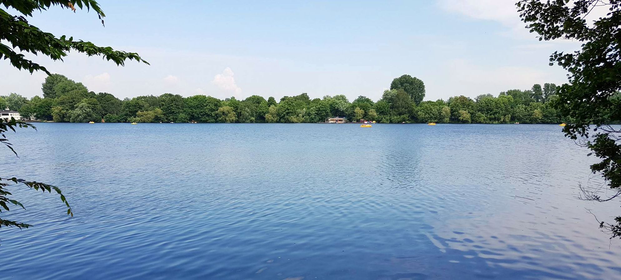
The most beautiful swimming lakes around Düsseldorf
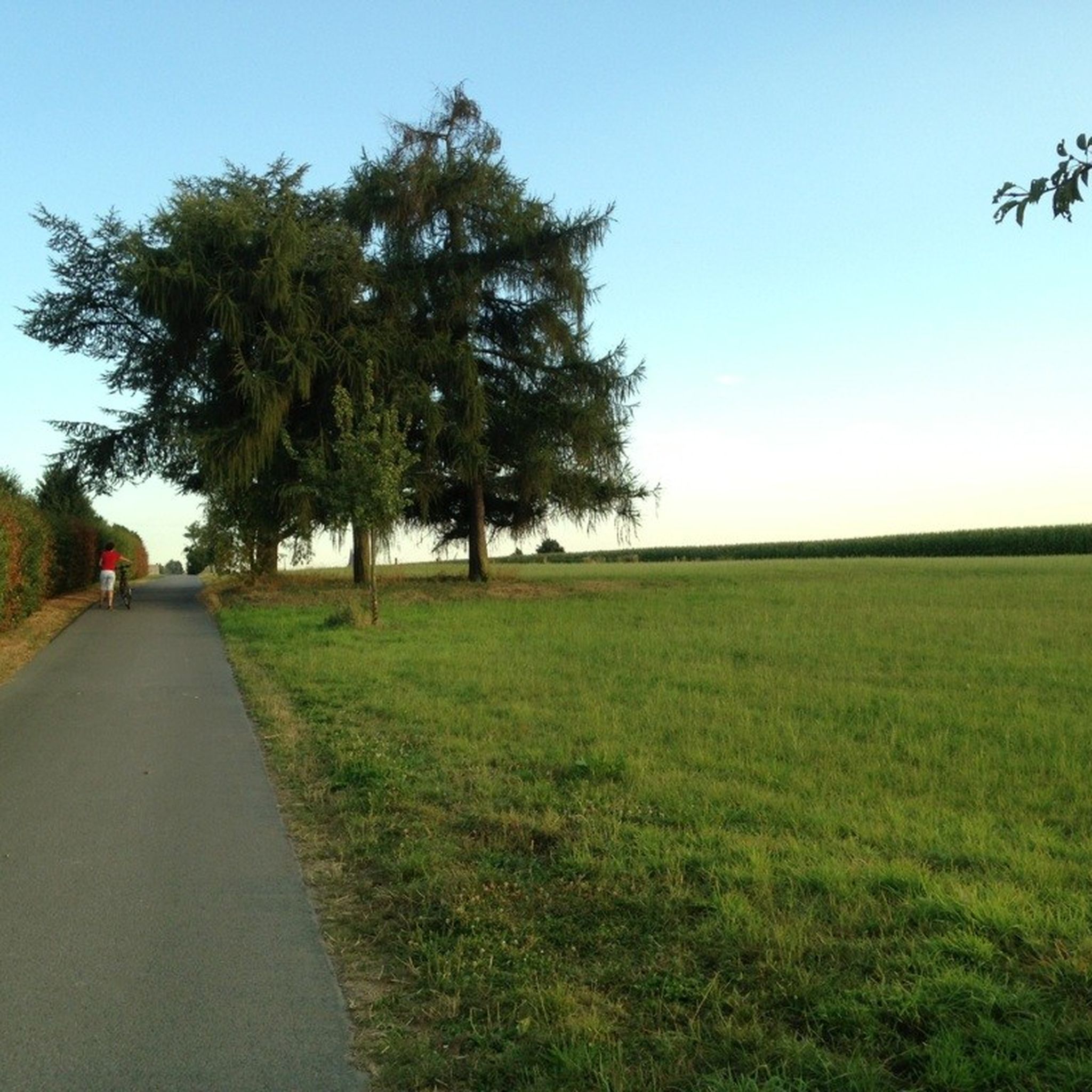
Cycling around Langenfeld (Rheinland)
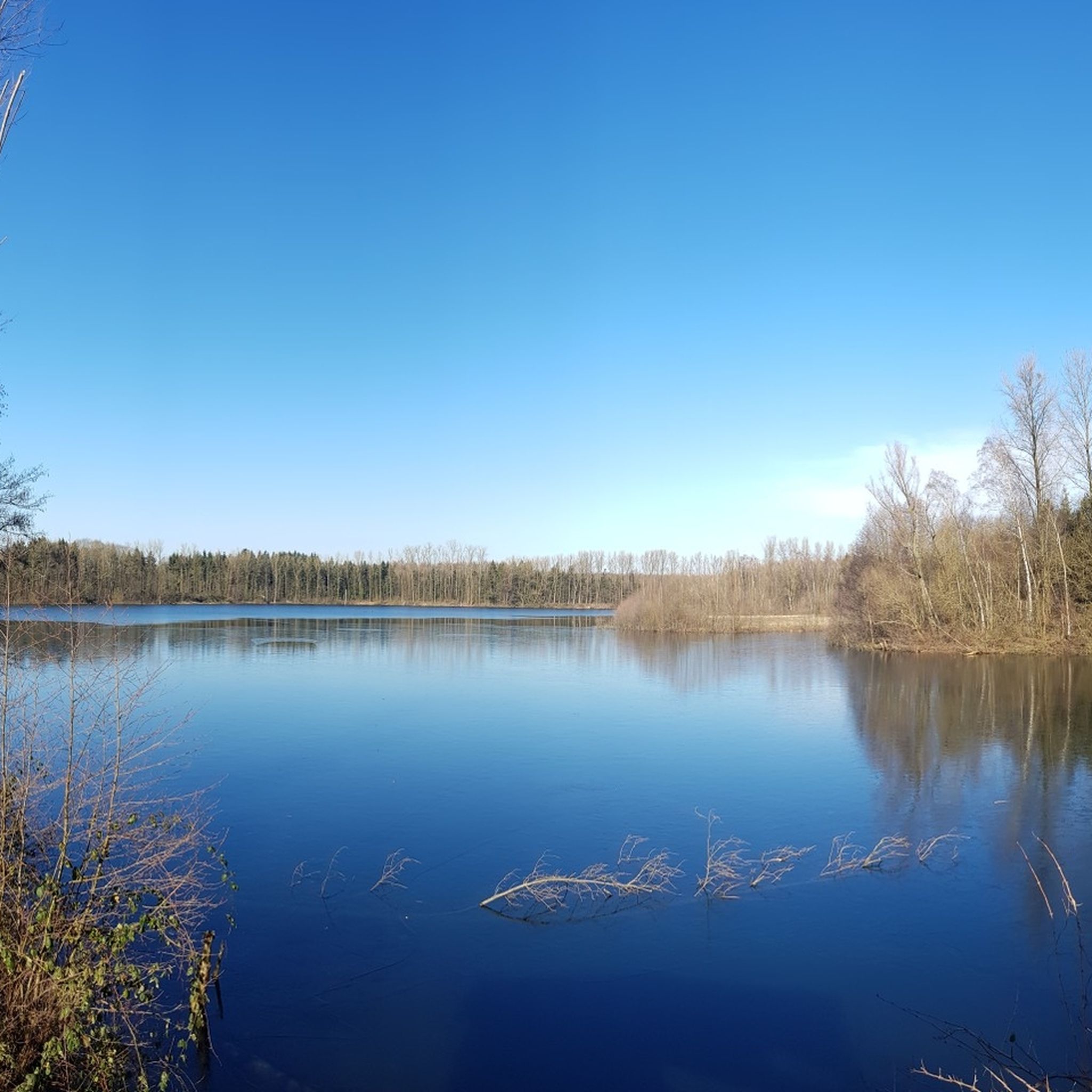
Hiking around Langenfeld (Rheinland)
Road Cycling Routes around Langenfeld (Rheinland)
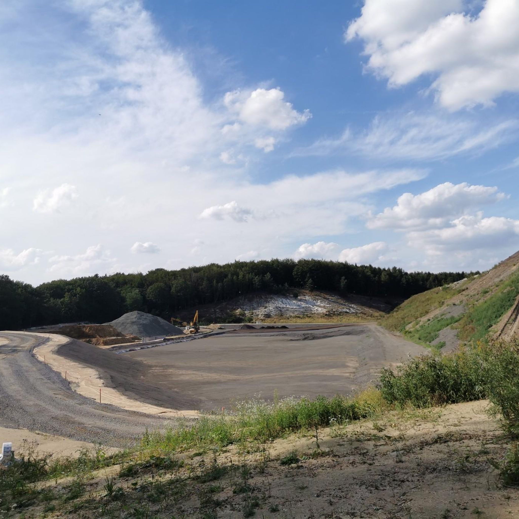
Running Trails around Langenfeld (Rheinland)
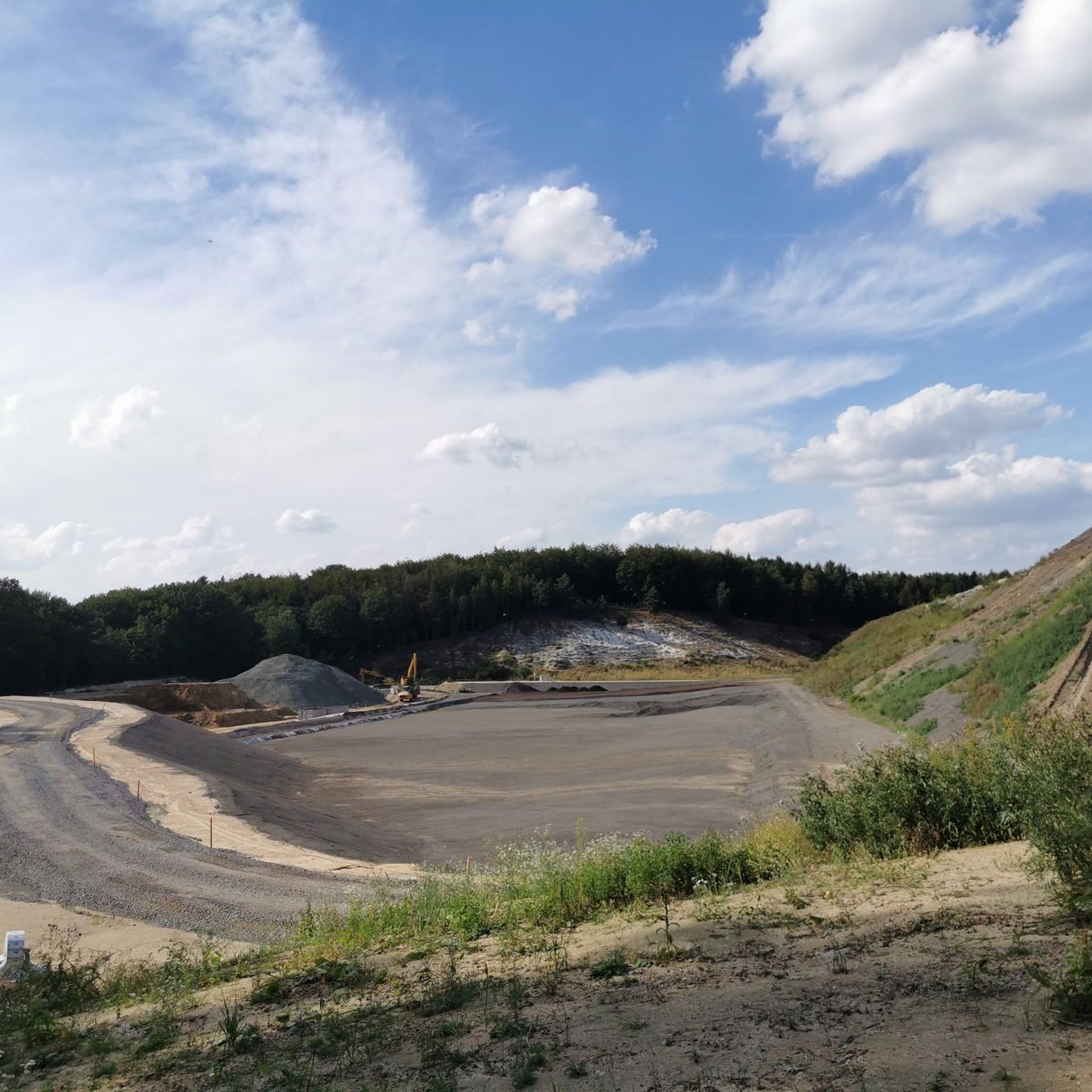
MTB Trails around Langenfeld (Rheinland)

Gravel biking around Langenfeld (Rheinland)
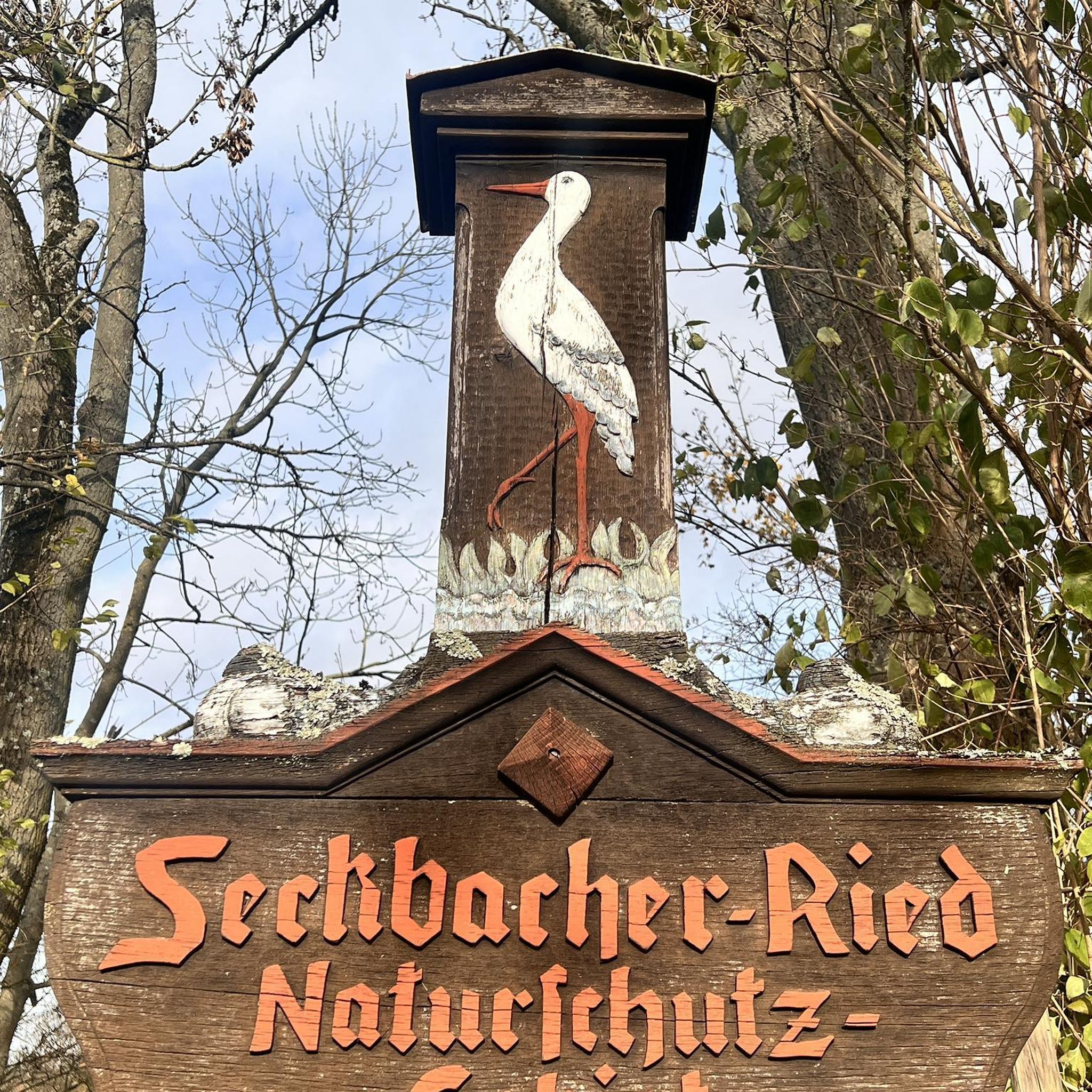
Mountain Hikes around Langenfeld (Rheinland)
Other adventures around Langenfeld (Rheinland)

Tips from the Community

Wide beautiful view into the valley
0
0

A small climb in the forest, but the surroundings are beautiful. There is also a modern training element on the fitness trail.
1
0

The Taubenberg is 81m high and there is also a fitness machine
0
0

After this successful and demanding start, we treat ourselves to a very short, first break on a bench on Klehmenhäuschenberg, from which we are soon chased away by the onset of rain. However, the strong wind prevented the hiking children from using it as we followed the Neanderlandsteig.
0
0

<< Taubenberg (81 m), in Hilden, district of Mettmann, North Rhine-Westphalia >> https://de.wikipedia.org/wiki/Taubenberg_(Terminology%C3%A4rung) << Hildener Heide nature reserve, east of Taubenberg <D> (ME-034) >> http://nsg.naturschutzinformation.nrw.de/nsg/de/fachinfo/gebiete/gesamt/ME_034 "... The Hilden city forest used to be interspersed with larger heath areas, which have now largely disappeared for many decades due to reforestation. Scattered in the city forest are the smaller nature reserves "Hildener Heide - east of Taubenberg", "Hildener Stadtwald - Sandbach Krebsbach area" and "Hildener Stadtwald - Biesenbach area“. The nature reserve, about half a hectare in size, east of the Taubenberg is home to an excellently developed heathland. The carnivorous sundew, the beak reed, the bell heather, the bog lily, the gagelbush and the short-winged bush cricket are at home here. South adjoining there is a downy birch swamp forest, in the wettest places of which even downy birch can hardly grow. A few specimens of narrow-leaved cotton grass can still be found here. ..." https://www.kuladig.de/Object-View/KLD-257276
2
0

On these paths there are many opportunities to rest with a beautiful view.
2
0

super nice vantage point overlooking Solingen center with ST Clemens and Cronenberg center with its reformed church
6
0
Frequently Asked Questions
What are the most notable elevated areas or "peaks" around Langenfeld (Rheinland)?
While Langenfeld (Rheinland) is characterized by gentle undulations rather than traditional mountain ranges, several elevated areas offer scenic views and opportunities for exploration. Key spots include Theegartener Kopf viewpoint, which provides expansive views towards Remscheid and Solingen, and the View from the summit of Sandberg, offering vistas over fields and towards the Rhine valley. Another popular spot is Taubenberg (81 m), a natural monument within a beautiful forest setting in Hilden.
What kind of hiking experience can I expect on the elevated areas around Langenfeld (Rheinland)?
The region offers a pleasant hiking experience with gentle undulations and minor inclines, rather than strenuous mountain climbs. You'll find numerous walking and cycling paths that lead through these elevated areas, providing views over the surrounding countryside. For more detailed routes, you can explore guides like Easy hikes around Langenfeld (Rheinland) or Hiking around Langenfeld (Rheinland).
Are there good viewpoints to enjoy the scenery around Langenfeld (Rheinland)?
Yes, several spots offer excellent panoramic views. The Theegartener Kopf viewpoint is well-known for its wide vistas towards Remscheid and Solingen. The View from the summit of Sandberg provides clear views over fields and the Rhine valley, with benches for relaxation. Additionally, the Jaberg Observation Tower, though requiring advance key arrangements, offers a great view of Düsseldorf from the highest point in Hilden.
Are there family-friendly options for exploring the elevated areas?
Absolutely. Many of the elevated areas and viewpoints are suitable for families. Taubenberg (81 m) is a natural monument within a forest that offers beautiful surroundings for a family walk. Both Theegartener Kopf viewpoint and the View from the summit of Sandberg are noted as family-friendly, providing accessible spots to enjoy the scenery.
When is the best time of year to explore the elevated areas around Langenfeld (Rheinland)?
The elevated areas around Langenfeld (Rheinland) can be enjoyed year-round, but spring, summer, and early autumn generally offer the most pleasant weather for walking and cycling. Spring brings blooming nature, summer provides lush green landscapes, and autumn showcases vibrant foliage. Winter walks can also be beautiful, especially on clear, crisp days, though some paths might be muddy.
What other outdoor activities can I do near these elevated areas?
Beyond hiking and walking, the region is excellent for cycling, particularly mountain biking, thanks to its gentle inclines. You can find dedicated routes in the MTB Trails around Langenfeld (Rheinland) guide. The landscape also lends itself to leisurely bike tours through the countryside and forests.
What natural features can I expect to see in the elevated areas?
The elevated areas around Langenfeld (Rheinland) are characterized by a mix of natural features. You'll encounter forests, open fields, and areas with gentle undulations. Specific highlights like Taubenberg (81 m) are natural monuments within forested settings, and the region includes nature reserves such as parts of the Hildener Heide, known for unique flora like sundew and bell heather.
Are there any historical or cultural points of interest related to these elevated areas?
While the focus is on natural elevation, some spots have historical context. The Jaberg Observation Tower, for instance, was built in 1931 and has stories dating back to the Stone Age, including local legends about Attila the Hun. The redesign of the Theegartener Kopf viewpoint was part of a regional project, reflecting local development and preservation efforts.
How accessible are these elevated areas by public transport?
Accessibility by public transport varies depending on the specific location. Langenfeld (Rheinland) itself is well-connected, and local bus services often reach areas close to popular hiking and cycling routes. It's advisable to check local transport schedules for the most convenient access to your chosen starting point.
What do visitors enjoy most about exploring the elevated areas around Langenfeld (Rheinland)?
Visitors frequently appreciate the peaceful natural surroundings and the expansive views offered from various viewpoints. The opportunity for gentle walks and bike rides through forests and over fields is a major draw. The community has shared over 110 photos and given more than 360 upvotes, highlighting the scenic beauty and enjoyable outdoor experiences available.
Is there a particularly challenging elevated area for experienced hikers?
While the region is generally known for gentle terrain, some routes incorporate slightly more demanding sections. For example, the Klehmenhäuschenberg is mentioned as part of a route with a "successful and demanding start," suggesting a bit more of a climb compared to other local spots. However, it's still within the context of the region's overall topography.
Can I find facilities like benches or cafes near the viewpoints?
Yes, some viewpoints are equipped with facilities for visitors. The View from the summit of Sandberg, for example, has benches available for visitors to rest and enjoy the view. While specific cafes directly at every viewpoint might be rare, many routes pass through or near towns and villages where you can find refreshments.
Most popular routes around Langenfeld (Rheinland)
Most popular attractions around Langenfeld (Rheinland)

Get inspired with the komoot mobile app


Explore more
See even more amazing summits around Langenfeld (Rheinland) with these guides:
