The 4 Most Amazing Peaks around Treuchtlingen
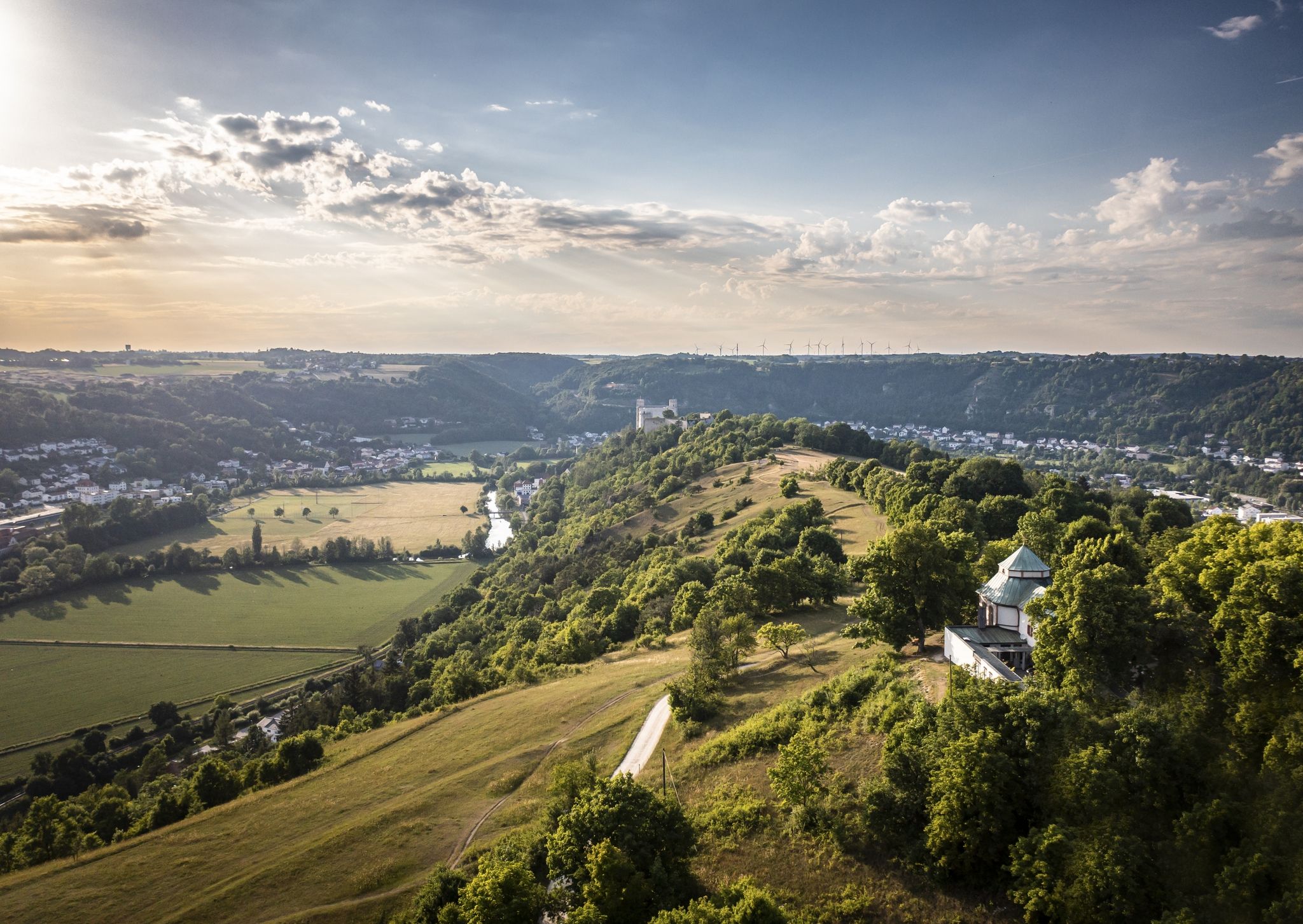
Best mountain peaks around Treuchtlingen are found within the Altmühltal Nature Park, an area characterized by elevated terrain, forests, and valleys. This region offers numerous elevated areas and natural features that provide expansive views and hiking opportunities. The landscape is known for its winding river, diverse forests, and picturesque valleys, rather than high alpine summits. These elevated points are integrated into well-regarded hiking trails, making them popular destinations for nature enthusiasts.
Best mountain peaks around Treuchtlingen
- The most popular mountain…
Last updated: July 9, 2026
Gelber Berg (Gelbe Bürg) Viewpoint
Highlight • Viewpoint
A map shows the directions with prominent sights.
Translated by Google •
Tip by

Gelber Berg
Highlight • Summit
Translated by Google •
Tip by

Sign up now to discover places like this
Get recommendations on the best single tracks, peaks, & plenty of other exciting outdoor places.
Sign up for free
Ascent from Sammenheim to Gelber Berg
Highlight (Segment) • Climb
Driveway start town exit or junction Sammenheim (altitude 470 m) up to about 1.8 km with about …
Translated by Google •
Tip by
Wachtlerberg Summit
Highlight • Summit
Translated by Google •
Tip by

Langenaltheimer Hardt Summit Cross
Highlight • Summit
at the summit cross there are 4 small seating options for a rest
Translated by Google •
Tip by

Sign up for free to discover even more peaks around Treuchtlingen.
Sign up for free
Already have an account?
Start today with a free account
Your next adventure awaits.
Login or Signup
Popular around Treuchtlingen
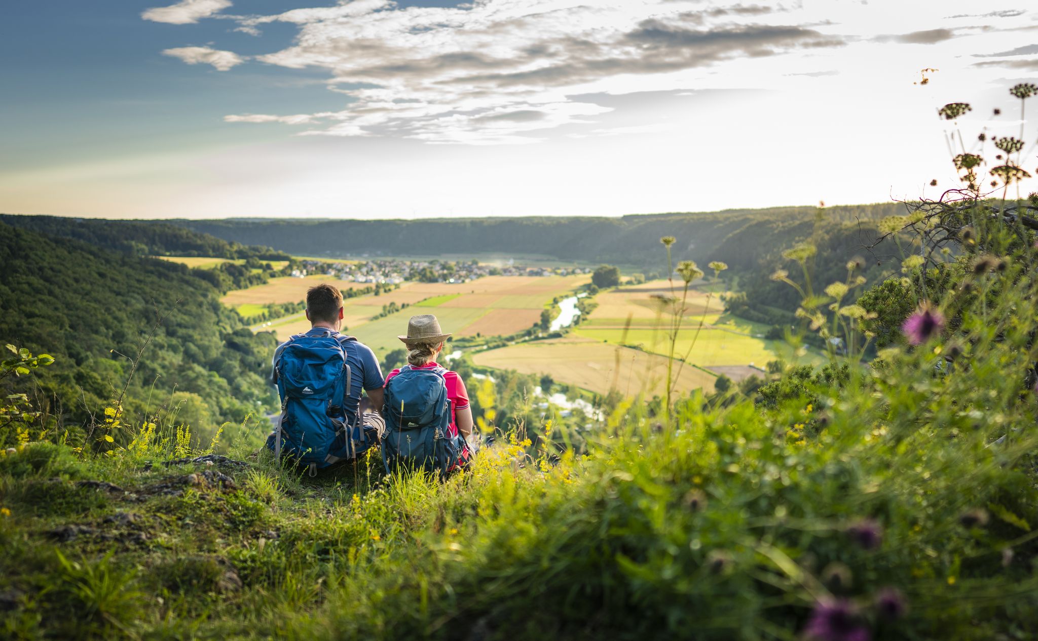
Sunny hiking loops – glorious autumn in the Altmühltal Nature Park
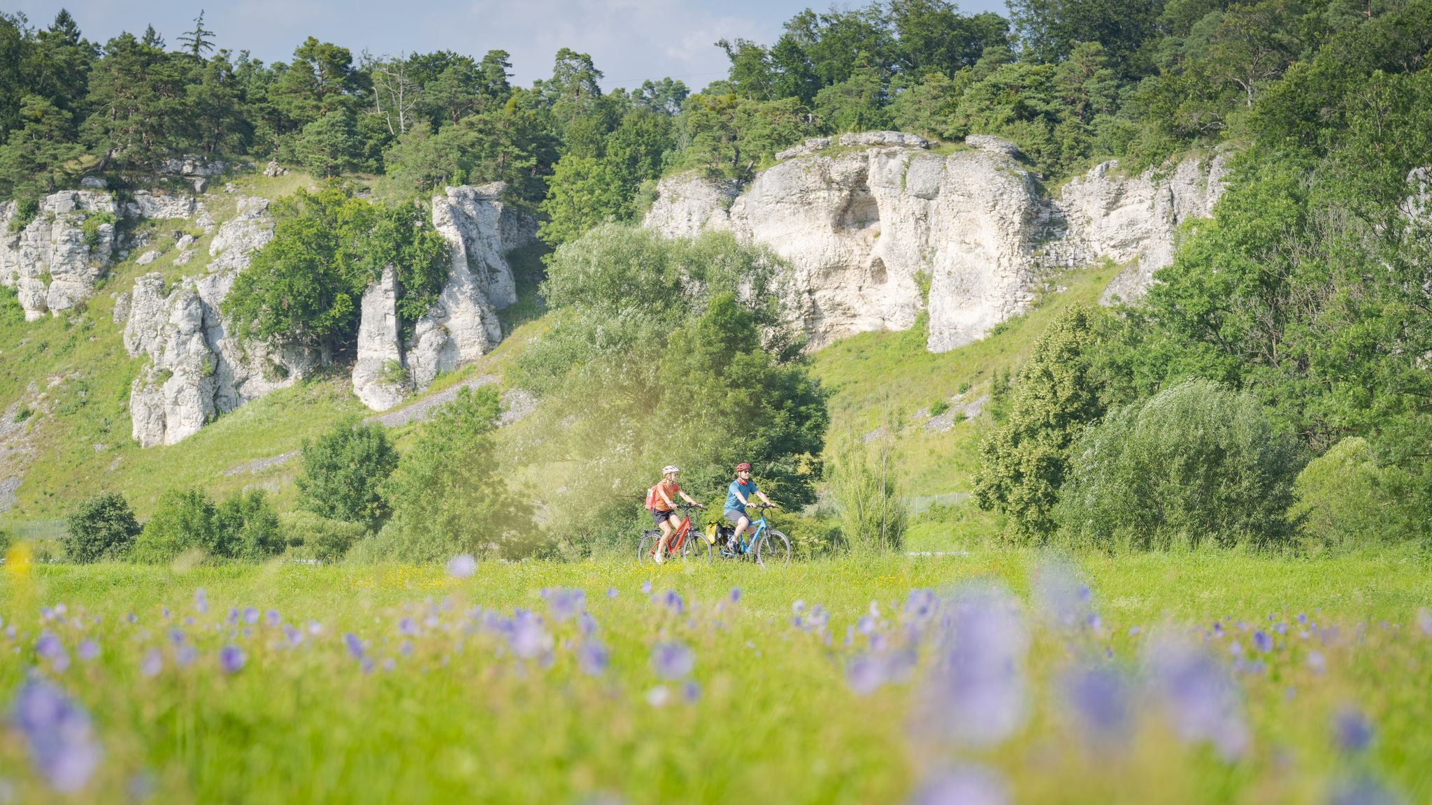
Altmühltal Geo cycle path – into the heart of the Earth's history
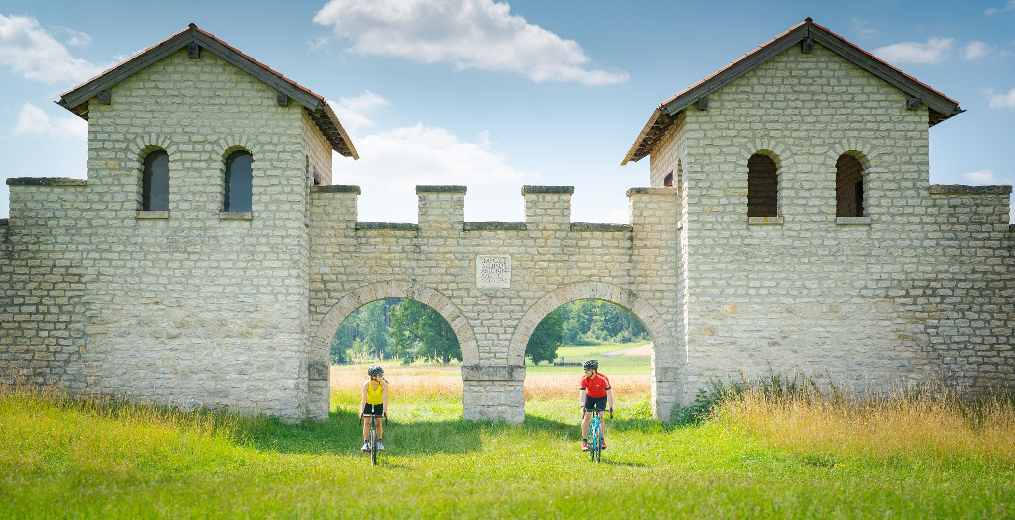
River valleys to plateaus – gravel cycling in Altmühltal Nature Park
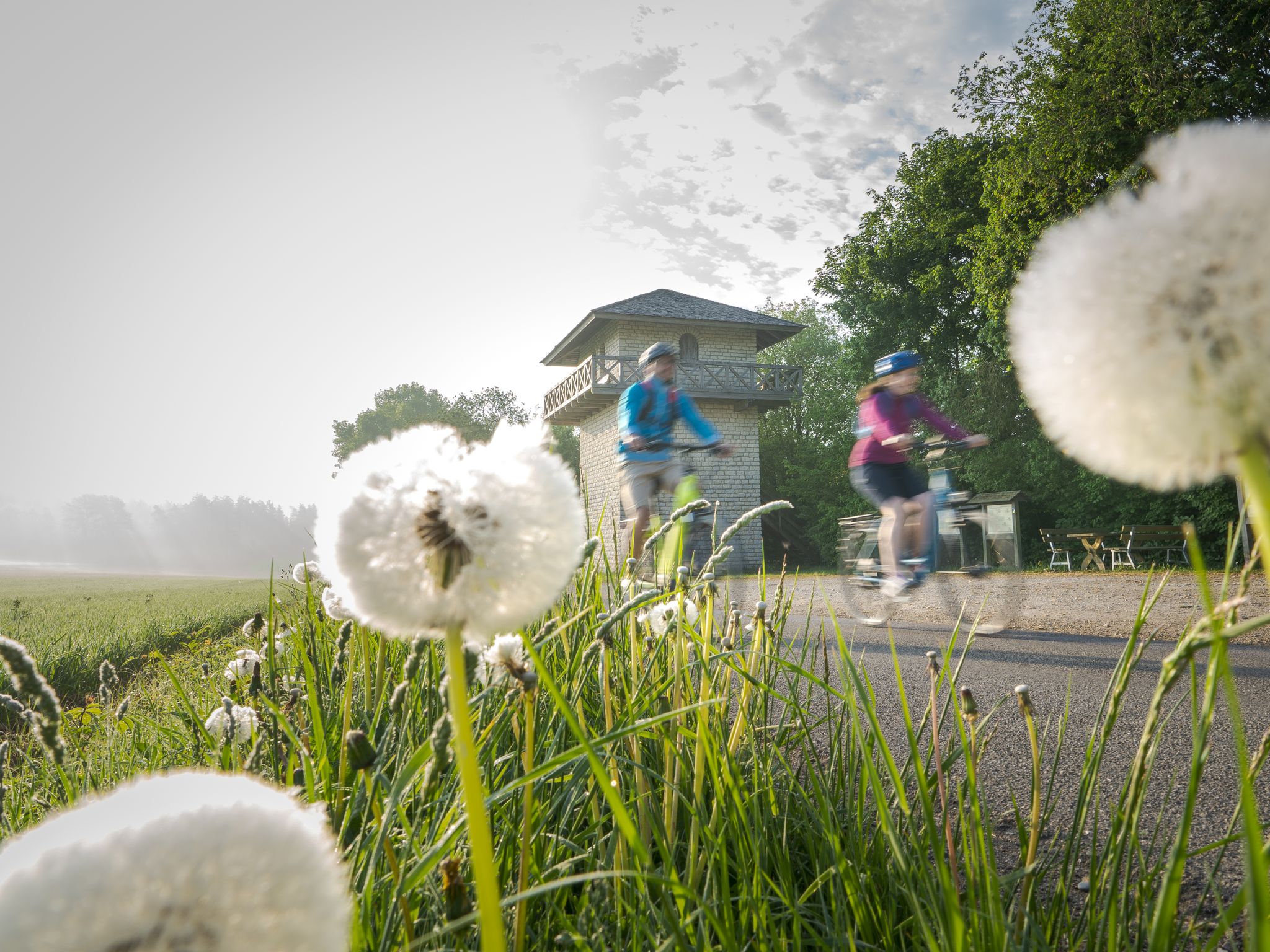
Culinary, Romans and Castles - Bike Tours in the Altmühltal Nature Park
Discover the green heart of Bavaria – Altmühltal Nature Park by bike
The Tauber Altmühl cycle path - cycling along two picturesque rivers

The Franconian Trail – A Diverse Hiking Dream Across 24 Stages
From A(ugsburg) to B(rodowin) – Cycling across Germany
Start the adventure – your VGN summer train
Altmühltal Panorama Trail – Altmühlsee to the Danube
Other adventures around Treuchtlingen


Tips from the Community

There is a free telescope to see the surroundings in more detail, several places to sit and a great view. A map shows the directions with prominent sights.
11
0
There is a free telescope to see the surroundings in more detail, several places to sit and a great view. A map shows the directions with notable sights. The Hesselberg (the highest elevation in Middle Franconia), the Altmühlsee and the Brombachsee are listed. But the small towns with their church towers also fit together wonderfully to create a wonderful panorama.
9
0

Very nice quiet place with a summit cross and a great view at the summit cross there are 4 small seating options for a rest
5
0

The Yellow Mountain, also known as the Yellow Castle, is home to botanical treasures. Here you should definitely stay on the paths / paths. The view is also fantastically beautiful.
7
0
very nice view all around, very quiet place and nice paths
4
0

The ascent is worthwhile with an impressive view. The artistic summit cross marks the highest point of the Wachtlerberg.
0
0

Ascent and descent on partly narrow path
0
0

great view of the Langenaltheim off-road park and the surrounding quarries
0
0
Frequently Asked Questions
What are the most popular elevated areas and viewpoints around Treuchtlingen?
The most popular elevated area is the Gelber Berg (Gelbe Bürg) Viewpoint, which offers expansive views of the Gunzenhausen Plain, the Franconian Lake District, and the Weißenburger Land. Other highly regarded spots include the Wachtlerberg Summit with its artistic summit cross, and the Langenaltheimer Hardt Summit Cross, known for its quiet atmosphere and views.
What kind of views can I expect from the elevated points in Treuchtlingen?
From the elevated points around Treuchtlingen, you can expect breathtaking panoramic views of the Altmühltal Nature Park. This includes the winding Altmühl River, dense forests, picturesque valleys, and unique landscapes like juniper heathlands. For example, Gelber Berg (Gelbe Bürg) Viewpoint even offers a free telescope to enhance your viewing experience.
Are there challenging climbs or difficult hiking routes near Treuchtlingen?
Yes, for those seeking a challenge, the Ascent from Sammenheim to Gelber Berg is a notable option. It features a difficult climb in its upper third with slopes up to 22%. Additionally, the Gundelsheim Heights Route, while not a specific peak, offers a more strenuous hiking experience with considerable ascents and descents.
What historical or cultural sites can be found on or near these elevated areas?
Several elevated areas have historical significance. The Gelber Berg (Gelbe Bürg) Viewpoint has evidence of habitation since the Neolithic period. The Uhlberg, an easily accessible elevated area, features the ruins of St. Ulrich's Chapel, adding a cultural element to your hike. The broader Altmühltal region also integrates historical elements like castles, ruins, and sections of the Limes hiking trail, a UNESCO World Heritage Site.
Are there family-friendly hiking options around Treuchtlingen's elevated areas?
While specific 'family-friendly' categories aren't listed for all highlights, many routes in the Altmühltal Nature Park are suitable for families. The region offers a variety of hiking routes, from easy walks to moderate trails. For example, the 'Altmühl view' loop trails are often easily accessible. The Heumöderntal, while known for mountain biking, also features elevated terrain suitable for outdoor activities in a natural setting.
What other outdoor activities can I do near the elevated areas of Treuchtlingen?
Beyond hiking, Treuchtlingen offers diverse outdoor activities. You can explore numerous cycling routes, including road cycling and touring bicycle options. For example, the Road Cycling Routes around Treuchtlingen guide features tours like the 'Zwölf Apostel Rock Formation' loop. For general cycling, the Cycling around Treuchtlingen guide includes routes like the 'Hahnenkamm-Tour' and the 'Altmühlsee – Altmühltal Cycle Path loop'.
Where can I find hiking trails that lead to these elevated viewpoints?
Many hiking trails in the region lead to or incorporate these elevated viewpoints. The Hiking around Treuchtlingen guide provides several options, such as the 'Altmühl view' trail or the 'Altmühl, Treuchtlingen – Möhrenbach Valley loop'. These trails often vary in difficulty, catering to different fitness levels.
What is the terrain like for hiking in the Treuchtlingen region?
The terrain around Treuchtlingen is characterized by picturesque valleys, forests, and plateaus, rather than high alpine summits. You'll encounter winding rivers, diverse forests, and unique geological features like juniper heathlands and rock formations. Trails can range from intermediate forest paths to more challenging ascents with steep sections, such as those found on the Ascent from Sammenheim to Gelber Berg.
What do visitors particularly enjoy about the elevated areas near Treuchtlingen?
Visitors frequently praise the impressive panoramic views, especially from spots like Gelber Berg (Gelbe Bürg) Viewpoint, which offers a fantastic vista of the surrounding plains and lake district. The quiet atmosphere at places like Langenaltheimer Hardt Summit Cross and the artistic summit cross at Wachtlerberg Summit are also highly appreciated. The overall natural beauty and diverse hiking opportunities within the Altmühltal Nature Park are major draws.
Is there a specific elevated point that offers a good resting spot with views?
Yes, the Gelber Berg (Gelbe Bürg) Viewpoint is well-equipped with several seating areas, making it an ideal spot for a rest while enjoying the fantastic views. Similarly, the Langenaltheimer Hardt Summit Cross also provides four small seating options for a quiet break.
What is the highest point in the immediate vicinity of Treuchtlingen?
While the region is not characterized by towering individual peaks, the Hörlesbuck (635 m) is notable as one of the highest road crossings on the Hahnenkamm and the sixth highest point in Middle Franconia, offering beautiful views over the rolling hills.
Most popular routes around Treuchtlingen
Most popular attractions around Treuchtlingen

Get inspired with the komoot mobile app


Explore more
See even more amazing summits around Treuchtlingen with these guides:
