Top 20 Mountain Passes in the Cambrian Mountains
Best mountain passes in the Cambrian Mountains traverse a landscape characterized by vast, sparsely populated uplands, rolling hills, and deep river valleys. Often referred to as the "Green Desert of Wales" or the "Roof of Wales," this region offers significant routes that provide scenic views and historical interest. These passes are important for connecting different areas and offer opportunities for outdoor activities. The area is known for its sense of wilderness and solitude.
Best mountain passes in the Cambrian Mountains
…Last updated: October 13, 2026
Cnicht Summit
Highlight • Natural Monument
Tip by

Bwlch Glas Pass
Highlight • Natural Monument
Tip by

Sign up now to discover places like this
Get recommendations on the best single tracks, peaks, & plenty of other exciting outdoor places.
The Gap Pass
Highlight (Segment) • Viewpoint
Tip by

The Gap (Bannau Brycheiniog National Park)
Highlight • Mountain Pass
Best ridden from south …
Tip by

Gospel Pass (Bwlch yr Efengyl)
Highlight (Segment) • Mountain Pass
Tip by

Horseshoe Pass (Bwlch yr Oernant) Climb from Llangollen
Highlight (Segment) • Mountain Pass
Tip by

The Gap Pass (Bwlch ar y Fan), Brecon Beacons National Park
Highlight (Segment) • Viewpoint
Tip by

Llanberis Pass – Pen-y-Pass Climb
Highlight (Segment) • Climb
Tip by
Black Mountain Climb from Pont Aber
Highlight (Segment) • Climb
Tip by

Bwlch Mountain Climb from Treorchy
Highlight (Segment) • Viewpoint
Tip by

Sign up for free to discover even more mountain passes in the Cambrian Mountains.
Already have an account?
Start today with a free account
Your next adventure awaits.
Popular around Cambrian Mountains
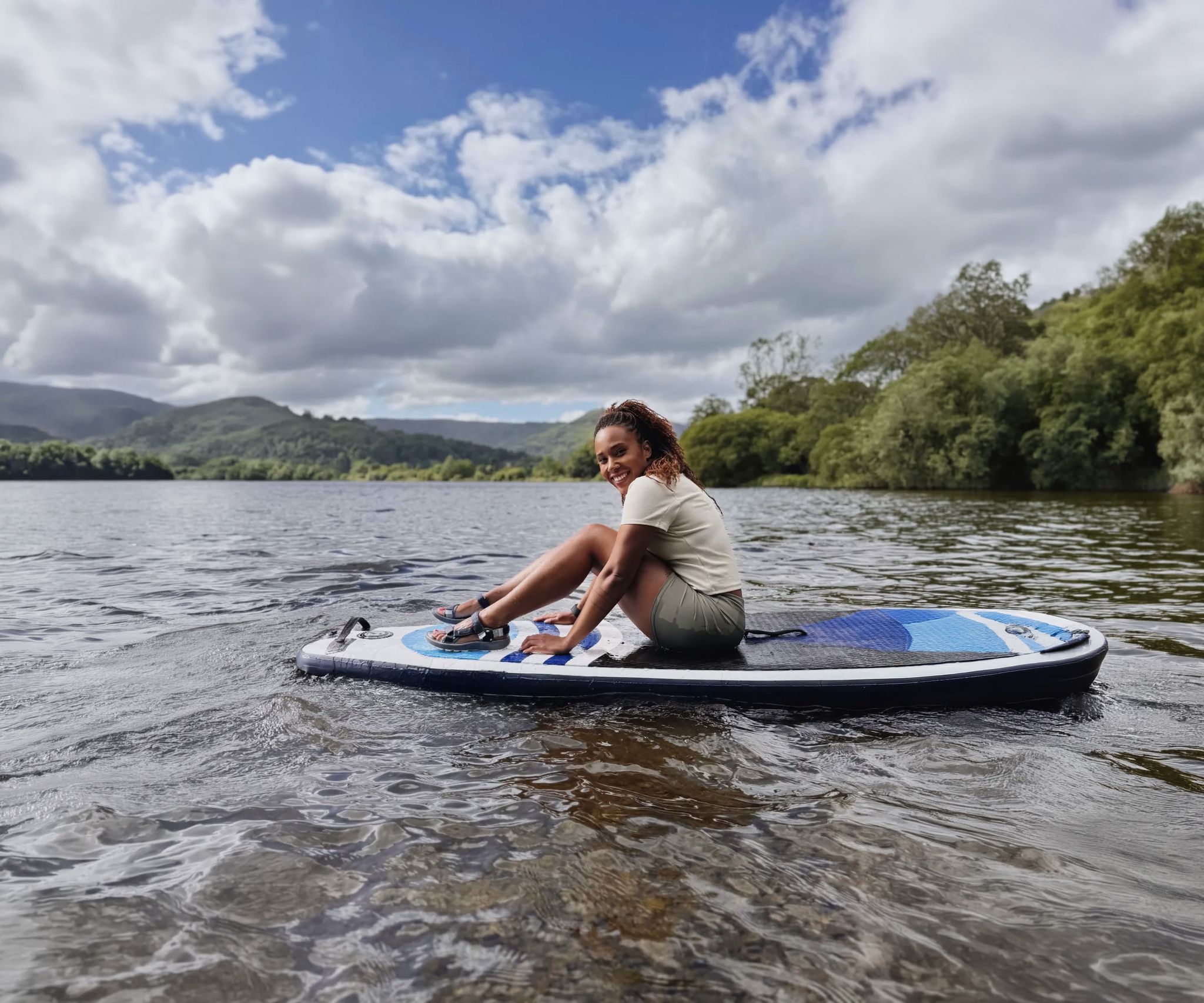
Scenic hikes to stand-up paddleboarding locations in the UK
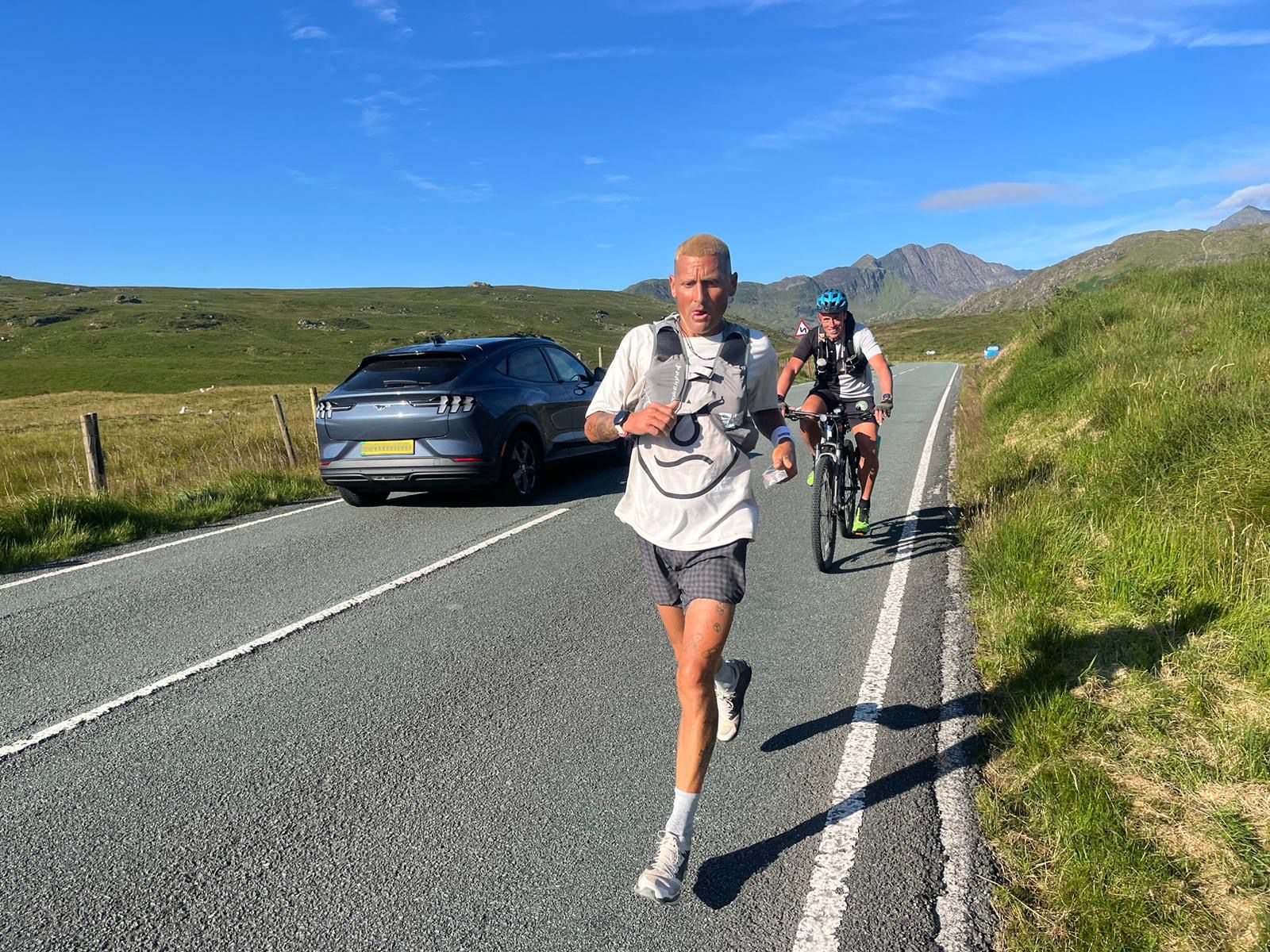
Supporting the National Three Peaks FKT in true Green Runners’ Style
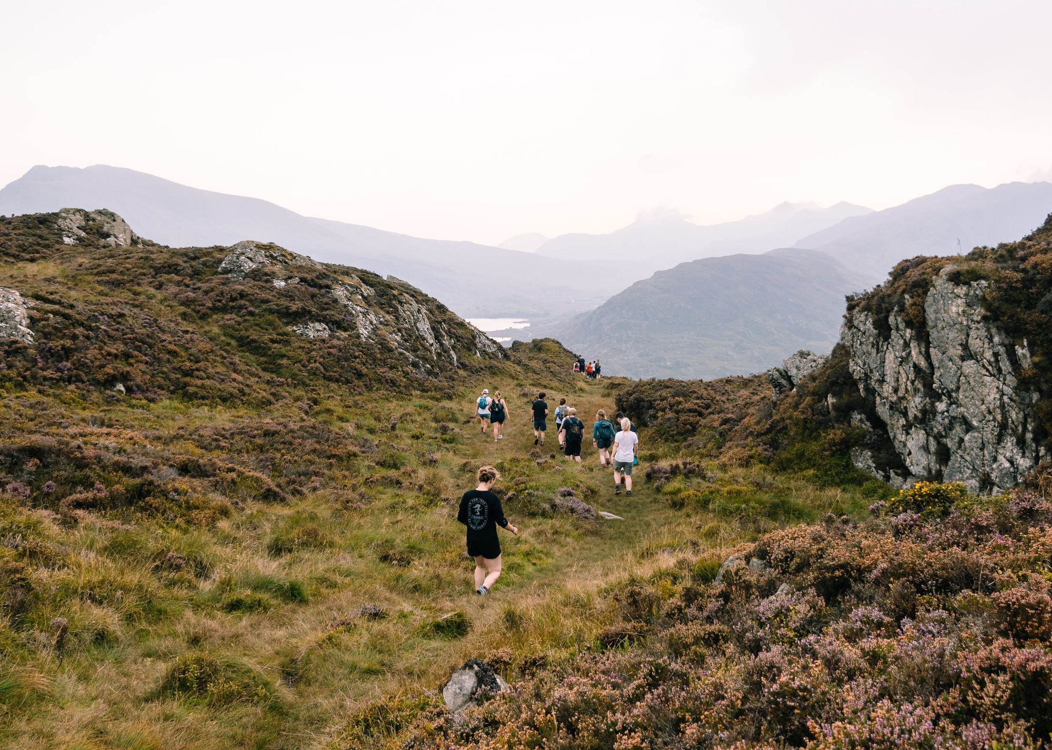
Connect with Nature – Purposeful Adventures in 2024
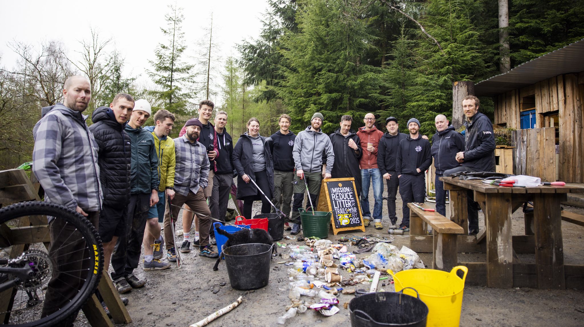
Adventures with a Purpose – our A-TEAMers’ best routes
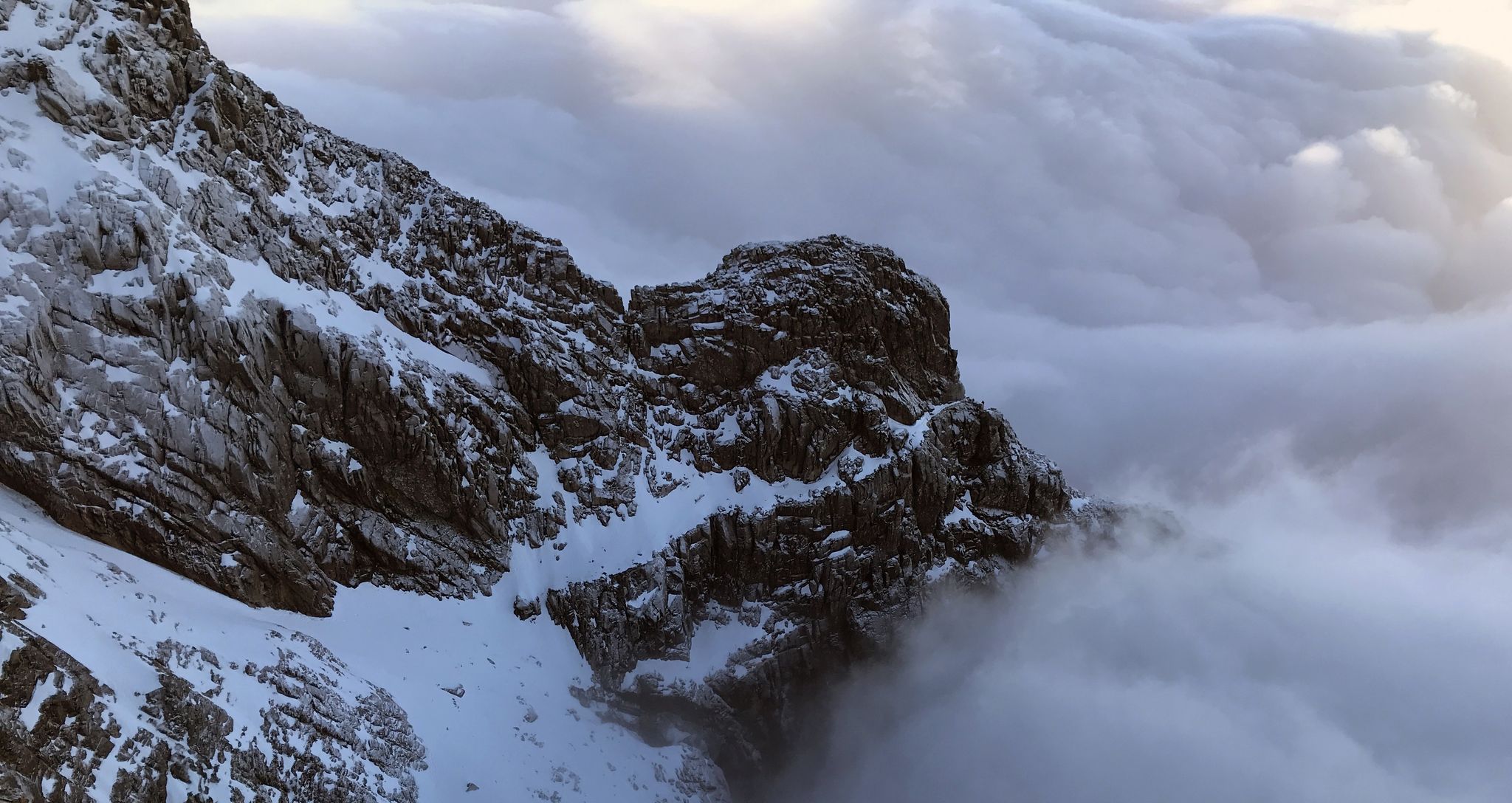
Ephemeral Lines – Stunning UK Winter Ridges
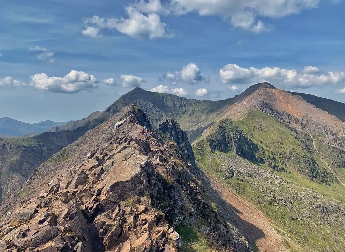
The Dragon's Back – running the spine of Wales
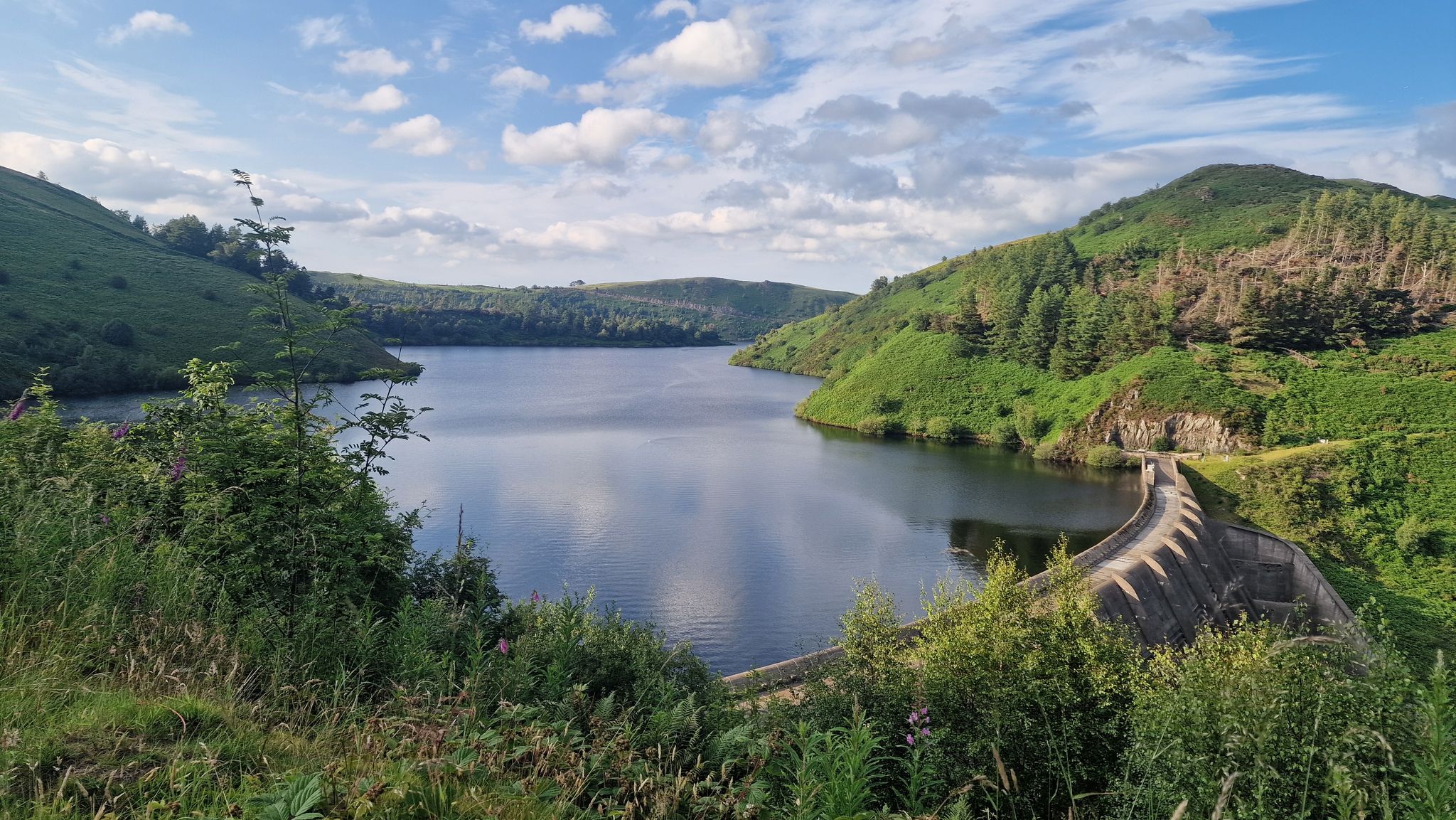
Glyndŵr’s Way – hiking in the footsteps of a Welsh hero
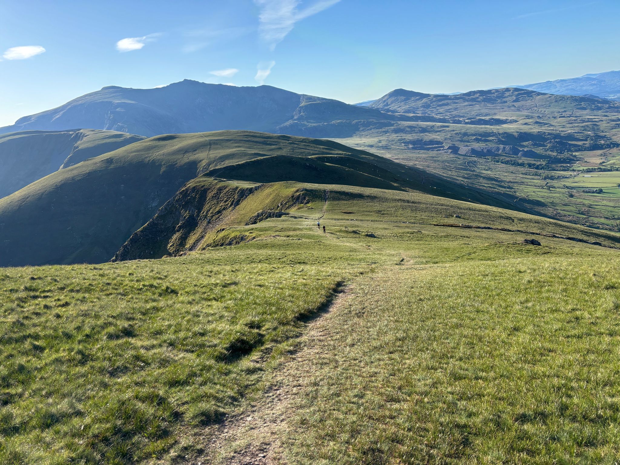
Ultra Trail Snowdonia by UTMB – 100 epic miles in Eryri
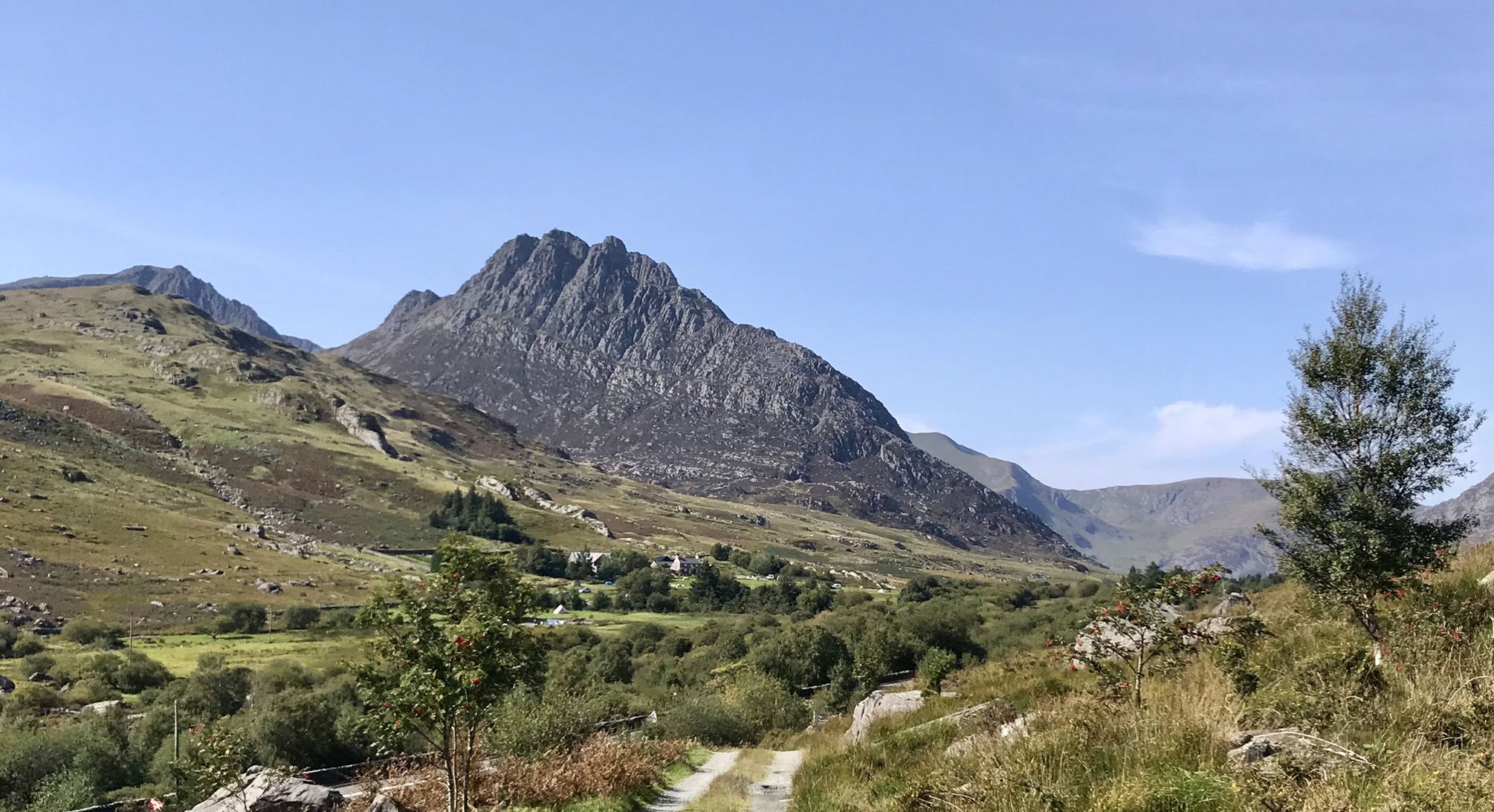
Snowdonia Way – A dramatic hike through Eryri's mountainous heart
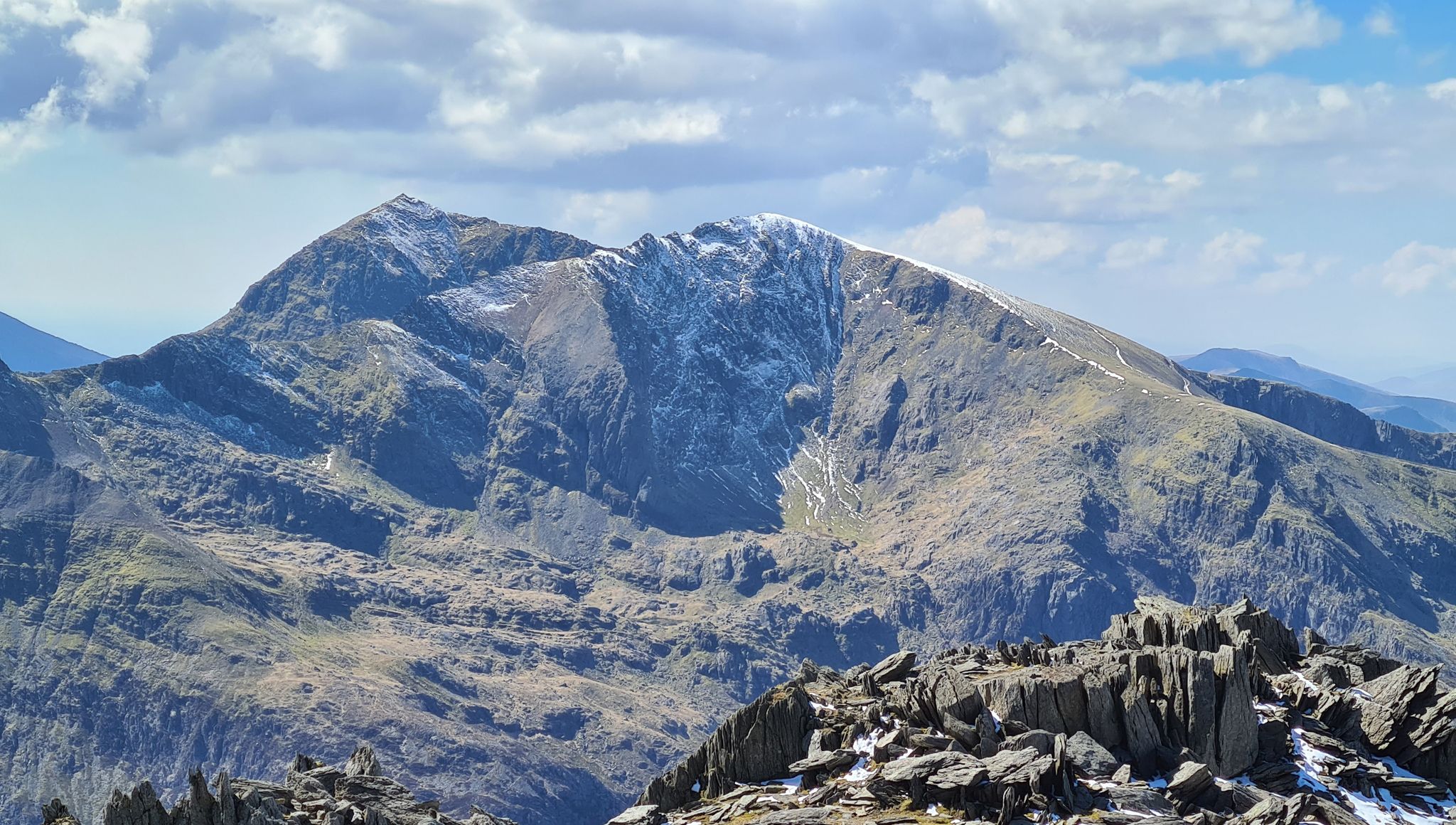
Snowdonia Way Mountain Route – Rise to Eryri's awesome summits
Other adventures in the Cambrian Mountains


Tips from the Community

Rainbows on mountains tend to be a mixed blessing as they are a pretty sure sign that you are about to get wet! However from the photographers point of view they can also signal some great light, with sun mixed in with dark moody clouds. This was the view from near the summit of Cnicht - otherwise sometimes called the Welsh Matterhorn due to its pointy appearance from the village of Croesor. To the right of the picture is Moel Hebog which rises steeply above the pictuesque village of Beddgelert.
0
0
A fine rocky and in places narrow ridge, and you will often have it all to yourself!
0
0

Beautiful hike, too bad it was cloudy at the top. 12.3 km isn't the actual distance you'll be hiking: it's definitely 10 km more because you can't walk a straight line on this path. It's very busy on this trail; there's a queue to reach the top.
0
0

Crazy hiking all the way up and then seeing a train pass you on the final section!
0
0

Great climb, long but not too steep. Views are absolutely amazing !!!
0
0

As you descend to this section to the viewpoint I've shared, please be aware that you have rocks and drops to descend that can be slippery when they are wet.
0
0

Gap Road. This was the first track to enable horse-drawn carriages to cross the mountain range. It's thought to be a Roman road, although no archaeological evidence has been found as yet. Turn right onto the gap road and follow this route all the way back to the car park, and to your starting point.
0
0

Great piece of road with dramatic views, a speedy descent toward Llanberis
0
0
Frequently Asked Questions
What are the most scenic mountain passes in the Cambrian Mountains?
The Cambrian Mountains offer several incredibly scenic routes. The B4574, linking the Elan Valley to Cwmystwyth, is often described as one of the world's best scenic drives, showcasing dramatic lakes and dams. The Abergwesyn Pass, with its challenging 'Devil's Staircase' section, provides grand, spacious views across the 'roof of Wales' and a remote, romantic experience. The A44, particularly around Eisteddfa Gurig, also offers sweeping vistas as it traverses the uplands.
Are there any historical or cultural sites to explore near the mountain passes?
Yes, the Cambrian Mountains are rich in history. The B4574 passes through Cwmystwyth, a former major lead mining site with extensive 19th-century ruins. Along the Abergwesyn Pass, you can visit the isolated Soar y Mynydd chapel, a spiritual haven. The A482 route passes near the Roman goldmines of Dolaucothi at Pumpsaint, and the ancient Sarn Helen Roman road offers a glimpse into historical pathways through the region.
What outdoor activities can I do near the mountain passes in the Cambrian Mountains?
The region is excellent for outdoor activities. You can find opportunities for cycling, mountain biking, and walking. For mountain biking, areas like Bwlch Nant yr Arian are popular. If you're looking for hiking, there are many options, including easy hikes like the Ystradfellte Four Waterfalls Walk or the Llyn Idwal loop. For more challenging routes, consider gravel biking trails like the Trans Cambrian Way Loop. You can find more details on these activities in the easy hikes, gravel biking, and MTB trails guides for the Cambrian Mountains.
Are there any challenging mountain passes for experienced cyclists or hikers?
Absolutely. The Abergwesyn Pass is known for its challenging nature, including the 'Devil's Staircase' with tight hairpins, making it a test for cyclists and drivers alike. For mountain bikers, The Gap Pass, though located in the Brecon Beacons, is a classic MTB route that is technical and may require some hike-a-bike sections near the top. Hikers seeking a challenge might enjoy the exposed ridge of Bwlch Main Ridge in Snowdonia, which offers a thrilling experience in suitable weather.
What is the best time of year to visit the mountain passes in the Cambrian Mountains?
The Cambrian Mountains offer beauty year-round, but the best time depends on your activity. Spring and summer (April to September) generally provide the most pleasant weather for hiking, cycling, and enjoying the scenery, with longer daylight hours. Autumn brings stunning foliage. Winter can be beautiful but also challenging, with potentially harsh weather conditions, making some passes difficult or impassable, especially for less experienced visitors.
Can I spot wildlife near the mountain passes?
Yes, the Cambrian Mountains are known for their wildlife. The region is particularly famous for its red kites. You can often spot them soaring overhead, especially around areas like Bwlch Nant yr Arian, which even has a dedicated Red Kite feeding centre. Keep an eye out for other woodland creatures and birds as you explore the remote landscapes.
Are there family-friendly options for exploring the mountain passes?
While some passes are challenging, many areas offer family-friendly experiences. Scenic drives like parts of the A44 and B4574 allow families to enjoy the views from the comfort of a car. Places like Bwlch Nant yr Arian offer not only red kite feeding but also walking trails suitable for families. For specific family-friendly walks, you can consult the easy hikes guide for the Cambrian Mountains.
What kind of views can I expect from the mountain passes?
The mountain passes in the Cambrian Mountains offer breathtaking vistas of vast, sparsely populated uplands, rolling hills, and deep river valleys. You can expect panoramic views of extensive moorland, forests, and dramatic natural features. Passes like the Abergwesyn Pass provide grand, spacious views across the 'roof of Wales,' while the B4574 showcases the dramatic lakes and dams of the Elan Valley.
Are there any specific viewpoints or notable spots along the passes?
Yes, several spots are worth noting. Along the A44, Eisteddfa Gurig is the highest point on the road and a starting point for routes to Pumlumon. The B4574 offers stunning views of the Elan Valley dams. The Abergwesyn Pass itself is a viewpoint, especially from the 'Devil's Staircase' section. While not strictly in the Cambrian Mountains, Gospel Pass is the highest road pass in Wales and offers cracking panoramic views on a clear day.
What makes the Cambrian Mountains unique compared to other mountain regions in Wales?
The Cambrian Mountains are often called the 'Green Desert of Wales' or the 'Empty Quarter' due to their vast, sparsely populated uplands. Unlike the more dramatic, high-alpine peaks of Snowdonia or the Brecon Beacons, the Cambrian Mountains offer a profound sense of wilderness and solitude. The passes here traverse rolling hills, deep river valleys, and extensive moorland, providing a unique blend of scenic beauty, historical intrigue, and a chance to escape the crowds.
Are there opportunities for wild swimming near the mountain passes?
While specific wild swimming spots are not detailed for each pass, the region's numerous rivers and reservoirs, particularly around the Elan Valley traversed by the B4574, suggest potential opportunities. It's advisable to research local regulations and safety guidelines for wild swimming in any specific area you plan to visit.
What are the road conditions like on the mountain passes?
Road conditions vary. Major routes like the A44 and A482 are generally well-maintained. However, passes like the Abergwesyn Pass are known for their challenging nature, including narrow sections and the tight hairpins of the 'Devil's Staircase.' The B4574 is a scenic drive but can also have winding sections. Always check local road conditions, especially during winter or after heavy rain, as some routes can be remote and exposed.
Most popular routes in the Cambrian Mountains
Most popular attractions in the Cambrian Mountains

Get inspired with the komoot mobile app


Explore more
See even more epic mountain passes by checking out these guides in the Cambrian Mountains:
