The 6 Most Amazing Peaks around Llanddewi Brefi
Best mountain peaks around Llanddewi Brefi are found within the expansive Cambrian Mountains, offering a landscape of rolling hills, river valleys, and open moorland. This region, nestled in Ceredigion, Wales, provides numerous elevated features and scenic routes for outdoor activities. The area is valued for its natural beauty, offering a tranquil environment for exploration. Llanddewi Brefi serves as a base for experiencing the significant elevated terrain of the Cambrian Mountains.
Best mountain peaks around Llanddewi Brefi
- The most popular mountain…
Last updated: June 30, 2026
Sugar Loaf
Highlight (Segment) • Climb
Tip by

Drygarn Fawr Summit Cairn
Highlight • Viewpoint
Tip by

Sign up now to discover places like this
Get recommendations on the best single tracks, peaks, & plenty of other exciting outdoor places.
Sign up for free
Craig-y-Fintan
Highlight • Viewpoint
Tip by

Hafod Ithel Summit (360 m)
Highlight • Natural Monument
Tip by
Pen y Garn-goch Summit (487 m)
Highlight • Viewpoint
Tip by
Sign up for free to discover even more peaks around Llanddewi Brefi.
Sign up for free
Already have an account?
Start today with a free account
Your next adventure awaits.
Login or Signup
Popular around Llanddewi Brefi

O Fon i Fynwy — Exploring Wales on foot from top to bottom
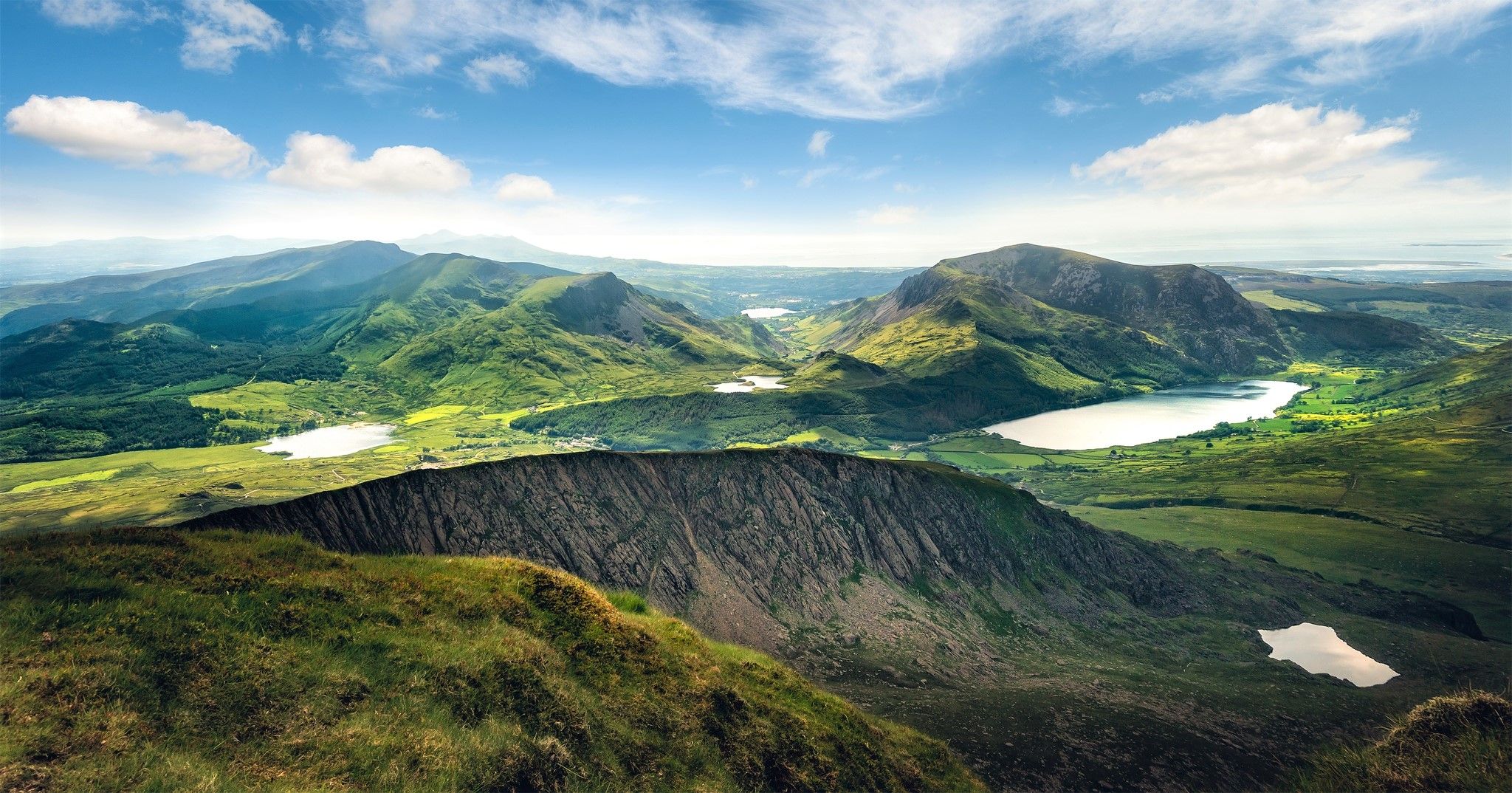
Cambrian Way — Hike the highest, wildest and most beautiful trail in Wales
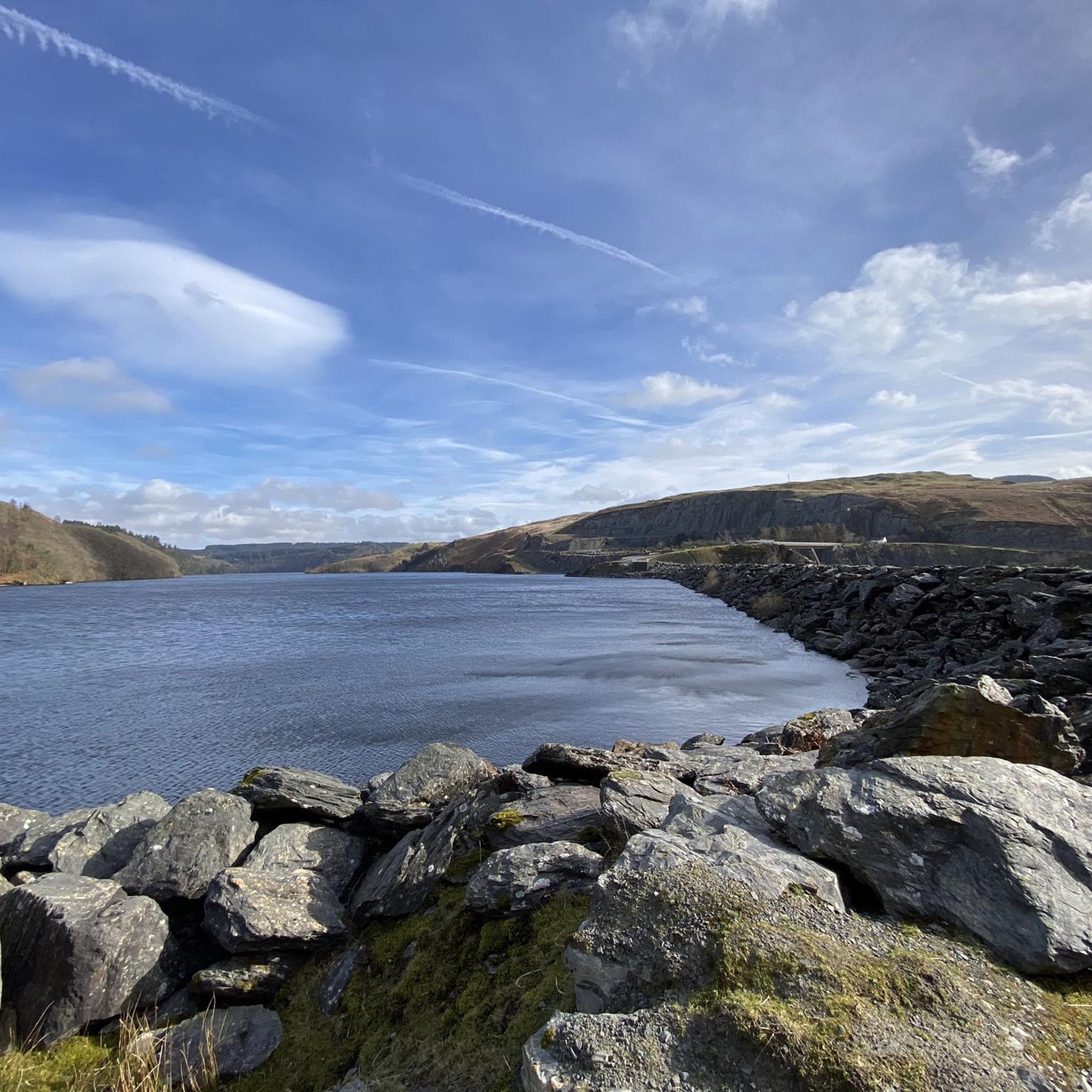
Hiking around Llanddewi Brefi
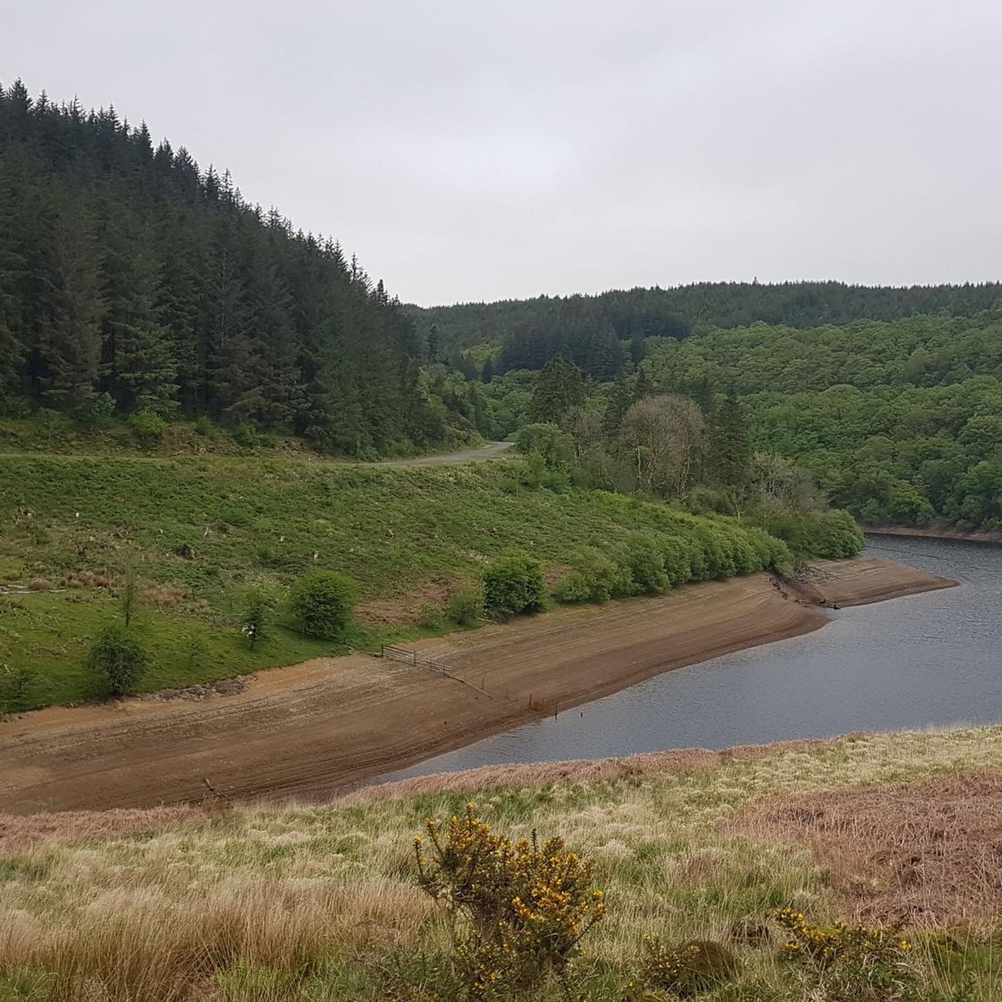
MTB Trails around Llanddewi Brefi
Road Cycling Routes around Llanddewi Brefi
Cycling around Llanddewi Brefi
Running Trails around Llanddewi Brefi

Gravel biking around Llanddewi Brefi


Tips from the Community

Beautiful hill climb. Not nearly as hard as I thought. Great views
1
0

Craig-y-Fintan is a block of unenclosed steep valley side, as well as a plateau rising to over 450m. Enjoy the view.
2
0

Hafod Ithel is a summit near Tregaron in the West Wales, United Kingdom of Great Britain. Hafod Ithel is 360 metres high. It is a UK listed Marilyn.
3
0
Pen y Garn-goch is a cairned, trig pointed forested summit near the village of Beulah in the Central Wales – Elan Valley region or range in Wales, United Kingdom of Great Britain. Pen y Garn-goch is 487 metres high. It is a UK listed Marilyn.
2
0
Gorllwyn and Drygarn Fawr are two of the only Nuttalls in the Rhayader area. These two hills are in the remote section of the Cambrian Mountains and provide superb views over reservoirs and open moorland. The cairn on top of Drygarn Fawr is very imposing.
3
0

The name Sugar Loaf comes from the rounded cone shaped form that refined sugar was sold in up until the late 19th century and the moniker isn’t unique to this hill. There are others in Wales as well as around the globe, of course most famously, Sugarloaf mountain in Rio, Brazil. The slope begins to rear up just after the village of Cynghordy then assumes a steady 6% gradient just about all the way to the top. First of all heading due north then with the Sugar Loaf (you may not see the resemblance) in front of you, it bends harsh left then sweeps right. Passing between tall conifers and jagged rock faces the climb has a slightly exotic feel as you next bend right to summit adjacent to the turn for the car park.
1
0
Frequently Asked Questions
What are some notable elevated features and viewpoints around Llanddewi Brefi?
While Llanddewi Brefi is known for its rolling hills rather than towering peaks, the surrounding Cambrian Mountains offer several significant elevated features. You can explore Drygarn Fawr Summit Cairn, which provides superb views over reservoirs and open moorland. Another popular spot is Sugar Loaf, known for its scenic ascent and views. Additionally, Hafod Ithel Summit (360 m) offers views of the West Wales landscape.
Are there challenging mountain climbs or hikes in the Llanddewi Brefi area?
Yes, for those seeking a challenge, the area offers demanding ascents. Drygarn Fawr Summit Cairn is a challenging summit in the remote Cambrian Mountains. Further afield, the Devil's Staircase Climb near Abergwesyn is renowned for its steep gradients, with sections reaching up to 25% over its 1.3 km length, offering a rigorous experience and panoramic views.
What kind of natural beauty can I expect to see in the Cambrian Mountains around Llanddewi Brefi?
The region, part of the expansive Cambrian Mountains, is characterized by stunning natural beauty. You'll find rolling hills, picturesque river valleys, and vast open moorland. This diverse landscape provides a tranquil and scenic setting for outdoor activities, with many viewpoints offering panoramic vistas.
What hiking opportunities are available near Llanddewi Brefi?
The area around Llanddewi Brefi offers a diverse network of footpaths, including old drovers' lanes, suitable for various abilities. Popular options include the challenging 23.7 km Llyn Brianne Reservoir loop with significant elevation gain, or the moderate From Long Wood Lampeter to Allt-goch hillfort trail. For an easier option, consider the Twm Siôn Cati's Cave – Gwenffrwd-Dinas Nature Reserve loop.
Are there cycling routes near the mountain peaks of Llanddewi Brefi?
Absolutely. The Llyn Brianne Reservoir area, in particular, is popular for cycling. You can tackle the difficult Llyn Briane Reservoir loop, which is approximately 40 km, or the even longer Craig Goch Dam – Elan Valley Trail loop. The Llyn Brianne Gravel Road also offers scenic views for cyclists.
What is the best time of year to visit Llanddewi Brefi for mountain activities?
The Cambrian Mountains are beautiful year-round, but for hiking and cycling, late spring to early autumn (May to October) generally offers the most favorable weather conditions. During these months, you can expect milder temperatures and less chance of harsh weather, making for more enjoyable outdoor experiences. Winter can be challenging with colder temperatures and potential for snow or ice on higher ground.
Are there any family-friendly mountain walks or activities in the area?
While specific 'family-friendly' categories aren't listed for the peaks themselves, the broader Llanddewi Brefi area offers easier trails suitable for families. For example, the Twm Siôn Cati's Cave – Gwenffrwd-Dinas Nature Reserve loop is an easy hiking option. The Llyn Brianne Reservoir area also has various paths, some of which are less strenuous and suitable for a family outing.
Can I bring my dog on trails around Llanddewi Brefi's elevated areas?
Generally, dogs are welcome on public footpaths and trails in the Cambrian Mountains. However, it's always advisable to keep dogs on a lead, especially when passing through farmland with livestock or during ground-nesting bird seasons. Always follow the Countryside Code and ensure your dog is under control.
What historical or cultural points of interest are there near the mountain peaks?
Llanddewi Brefi itself has a rich history, known for the Synod of Brefi and connections to Saint David. The local folklore surrounding Foelallt Crag, with its legend of oxen splitting the rock, adds a unique cultural dimension to the natural landscape. Exploring the village can offer a blend of natural exploration and cultural immersion.
Where can I find accommodation or places to eat near the mountain trails?
Llanddewi Brefi village offers some local amenities, including pubs and cafes, which can serve as a base for your adventures. For a wider range of options, nearby towns will provide more choices for accommodation and dining after a day on the trails.
What is <a href="https://www.komoot.com/highlight/4683013" target="_blank" rel="noopener">Craig-y-Fintan</a> and what views does it offer?
Craig-y-Fintan is a block of unenclosed steep valley side and a plateau that rises to over 450 meters. It offers expansive views of the surrounding landscape, making it a rewarding viewpoint for those undertaking intermediate-level hikes.
What is the significance of <a href="https://www.komoot.com/highlight/2831430" target="_blank" rel="noopener">Pen y Garn-goch Summit (487 m)</a>?
Pen y Garn-goch Summit (487 m) is a cairned, trig-pointed forested summit located near the village of Beulah. At 487 meters high, it is a UK listed Marilyn and offers an intermediate-level ascent through a forested area, providing a different kind of mountain experience.
Most popular attractions around Llanddewi Brefi

Get inspired with the komoot mobile app


Explore more
See even more amazing summits around Llanddewi Brefi with these guides:
