The best cycling routes around East Alton
4.6
(23)
45
riders
9
rides
Touring cycling routes around East Alton, Illinois, are characterized by their location at the confluence of the Mississippi, Missouri, and Illinois rivers, offering unique vistas and diverse ecosystems. The landscape features extensive riverfront trails, bluffs, and a network of former railway lines converted into cycling paths. This region provides a mix of flat, scenic routes along the rivers and slightly undulating terrain through local parks and natural areas. The area's cycling infrastructure is well-integrated, connecting various points of interest and…
Last updated: July 10, 2026
5.0
(2)
11
riders
40.4km
02:17
100m
100m
Moderate bike ride. Good fitness required. Mostly paved surfaces. Suitable for all skill levels.
8
riders
44.6km
02:45
80m
80m
Moderate bike ride. Good fitness required. Mostly paved surfaces. Suitable for all skill levels.

Sign up for free
4.0
(2)
6
riders
Moderate bike ride. Good fitness required. Mostly paved surfaces. Suitable for all skill levels.
7
riders
Easy bike ride. Great for any fitness level. Mostly paved surfaces. Suitable for all skill levels.
4.7
(19)
7
riders
20.4km
01:13
40m
40m
Easy bike ride. Great for any fitness level. Mostly paved surfaces. Suitable for all skill levels.
Get access to more routes and recommendations from other explorers.
Sign up for free
Already have an account?
Our route recommendations are based on thousands of hikes, rides, and runs completed by other people on komoot.
Start today with a free account
Your next adventure awaits.
Login or Signup
Popular around East Alton
Tips from the Community

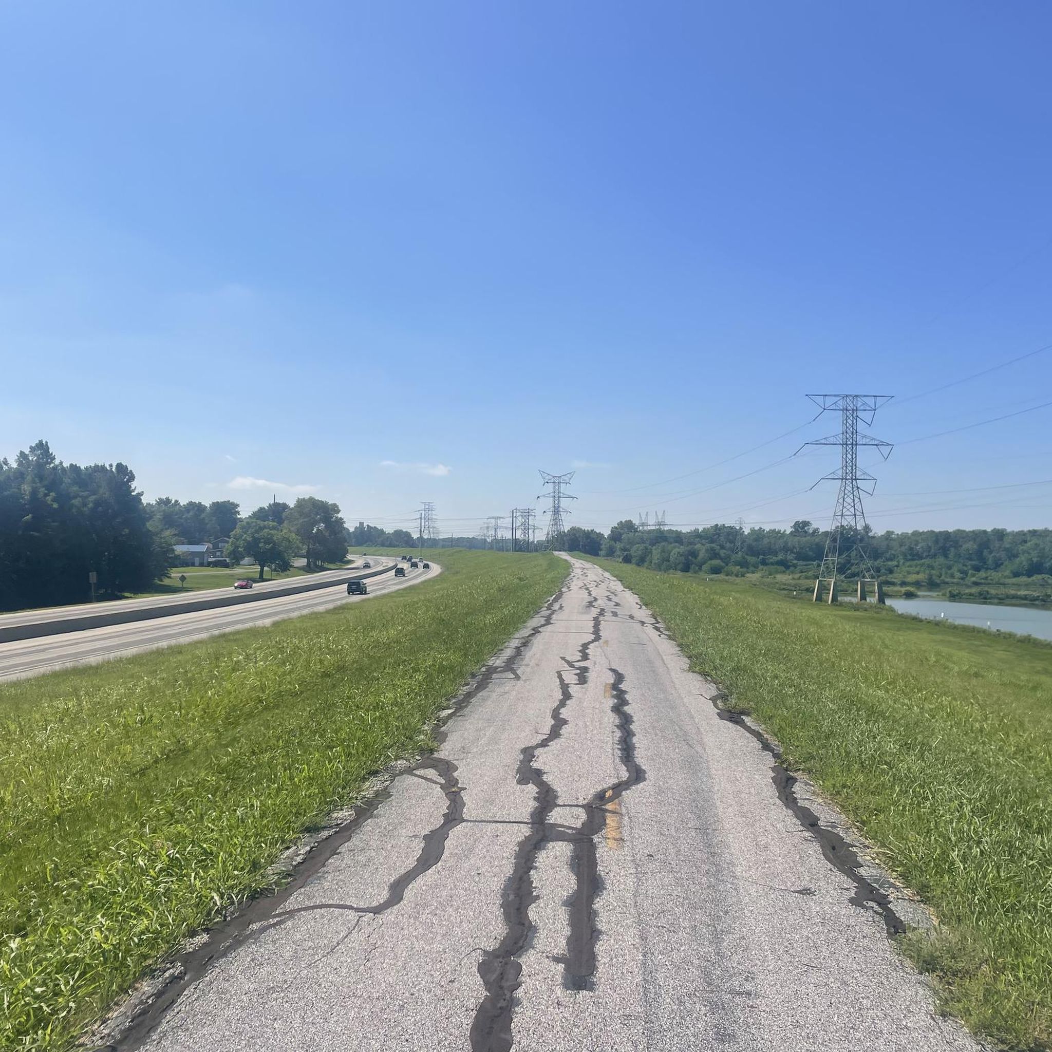
Great Trail Surface. Watch out for dog walkers and joggers!
0
0

Great flat trail with access to the towns along the way.
0
0

The water intake towers are a great sight. Definitely worth the ride. Go there on one side and return on the other of the mighty Mississippi.
1
0
The Melvin Price Lock and dam is located on the MCT Confluence Trail near East Alton, Illinois. There is a Great Rivers Museum here and the National Great Rivers Research and Education Center. All of this is accessible directly off the trail with out having to cross any highways. They do have tours of the lock and dam. Check on line for availability. www.mtrf.org
0
0
This monument is located just adjacent to the MCT Confluence Trail near the Poag Road Intersection. The monument is completely accessible from the Trail without crossing any roads.
0
0
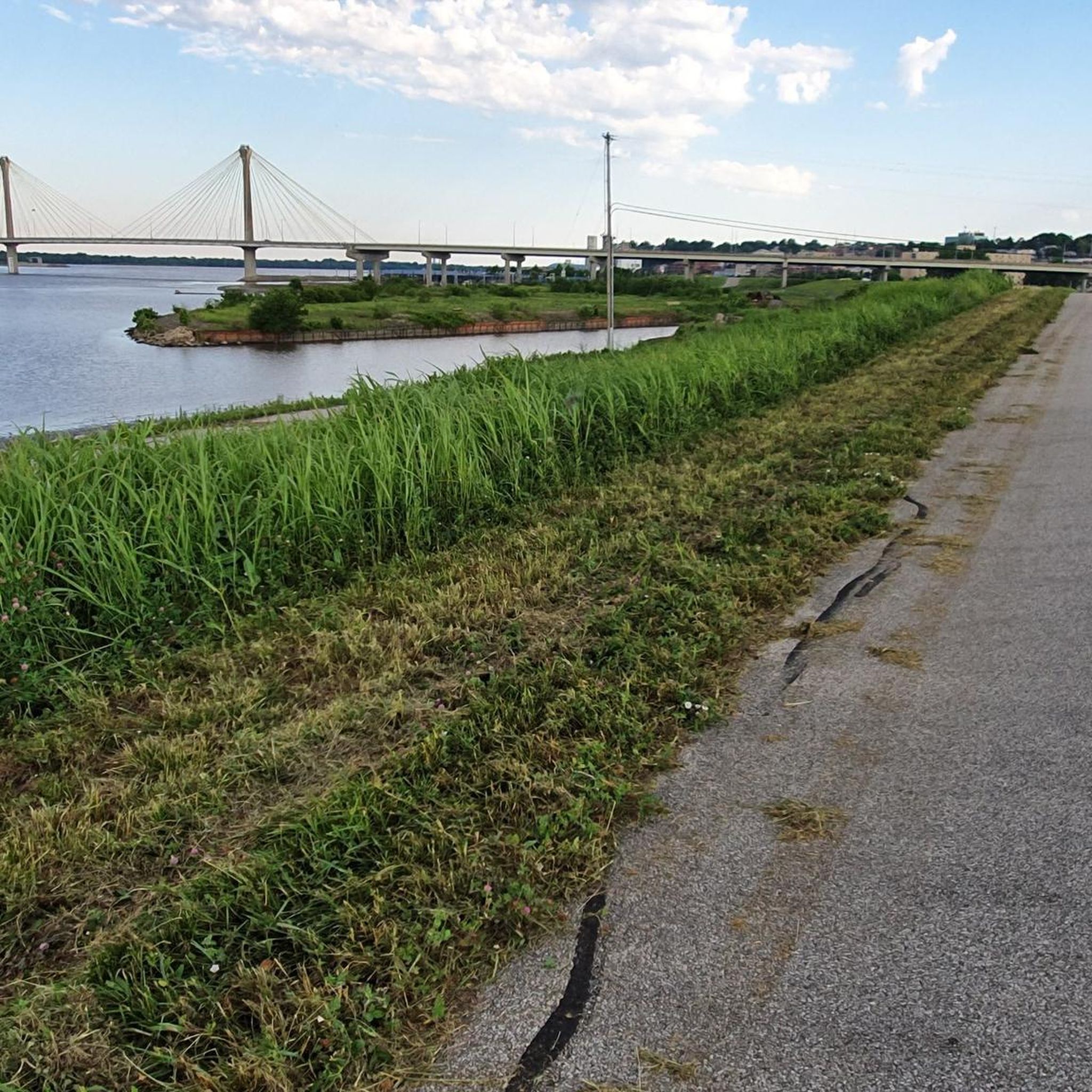
This bridge, I believe, is the longest in the Madison County Trail system which is comprised of over 138 miles of Class 1 bikeways. The 881 foot bridge parallels the Great River Road bridge. Just another unique and fun item on the Confluence Trail.
0
0
This is a monument to two famous American explorers, Lewis and Clark. They were credited with mapping the Missouri River and also finding a passage to the west coast of North America. It was from this point they launched their famous journey. This Monument is located on the Madison County Transit ( MCT ) Confluence trail which also carry's the Mississippi River Trail.
0
0

Some rough spots of pavement, so higher volume tires recommended
0
0
Frequently Asked Questions
How many touring cycling routes are available in East Alton?
East Alton offers a selection of 10 touring cycling routes, catering to various preferences. Most of these, 7 to be exact, are classified as easy, while 3 are considered moderate.
What do other cyclists say about the touring routes in East Alton?
The touring cycling routes in East Alton are highly regarded by the komoot community, boasting an average rating of 4.8 stars from over 20 reviews. Cyclists often praise the scenic riverfront paths and the well-integrated network of trails.
Are there easy touring cycling routes suitable for beginners or families?
Yes, East Alton is an excellent destination for easy touring cycling. Seven of the ten routes are classified as easy, making them suitable for beginners or family outings. An example is the Melvin Price Locks and Dam – MCT Confluence Trail loop from MCT Park and Ride, which is an easy 14.8-mile (23.7 km) ride through riverfront areas.
Are there any circular touring cycling routes around East Alton?
Yes, many touring cycling routes in East Alton are designed as loops, offering convenient starting and ending points. For instance, you can explore the Confluence Trail – Levee Road (Gravel) loop from Wood River, a moderate 27.7-mile (44.5 km) path that provides views of the river confluence.
What natural features or landmarks can I see along the touring cycling routes?
The routes in East Alton offer diverse natural features and landmarks. You can experience the unique confluence of the Mississippi, Missouri, and Illinois rivers, explore bluffs along the Mississippi, and visit local parks. Notable landmarks include the Confluence Tower and the Lewis & Clark Monument, the Melvin Price Locks and Dam, and the Clark Bridge. The Melvin Price Locks and Dam – Riverfront Park loop from Wood River is an easy route that passes by some of these riverfront attractions.
Can I find routes with river views in East Alton?
Absolutely. East Alton's location at the confluence of three major rivers means many touring cycling routes offer stunning river views. Trails like the Confluence Trail and sections of the Mississippi River Trail provide extensive opportunities to cycle alongside these historic waterways. The Confluence Trail – Confluence Trail – east of Alston loop from Alton is an easy option for enjoying these scenic vistas.
Are there any trails that follow old railway lines?
Yes, the region around East Alton has a well-developed network of trails that utilize former railway lines. The Vadalabene Bike Trail, for example, follows an old railway from Alton towards Pere Marquette State Park, offering a smooth and scenic ride along the Illinois River. The Arches Rail Trail in East Alton is another local example, though it features dirt and grass surfaces.
What is the best time of year for touring cycling in East Alton?
The spring and fall seasons are generally considered the best times for touring cycling in East Alton. The weather is typically mild, and the natural scenery, especially along the rivers and bluffs, is particularly vibrant or colorful. Summer can be enjoyable, but be prepared for warmer temperatures and higher humidity.
Where can I park when accessing touring cycling trails in East Alton?
Parking is generally available at various access points along the major trail systems. Many trails, especially those part of the MCT (Madison County Transit) network, have designated park-and-ride lots. For specific routes, checking the route details on komoot or local trail maps will provide precise parking information.
Is public transport available to reach the cycling trails?
The Madison County Transit (MCT) system operates bus services that can provide access to various points along the extensive trail network in the region, including those near East Alton. Many MCT buses are equipped with bike racks, making it convenient to combine cycling with public transport. It's advisable to check the current MCT schedules and routes for the most up-to-date information.
Are there places to eat or drink near the cycling routes?
Yes, the towns and communities along the cycling routes, such as Alton and Wood River, offer various cafes, restaurants, and pubs where you can refuel. Many of these establishments are conveniently located near trailheads or within easy reach of the main cycling paths, especially in the more urbanized sections.
Are the touring cycling routes in East Alton dog-friendly?
Many of the multi-use trails in the East Alton area, including sections of the Confluence Trail and other paved paths, are generally dog-friendly, provided dogs are kept on a leash. However, it's always best to check specific trail regulations before heading out, as rules can vary, especially in state parks or protected natural areas.
Where can I find accommodation near the touring cycling routes?
Accommodation options are available in East Alton and the neighboring city of Alton, ranging from hotels to guesthouses. Many establishments cater to visitors exploring the Great Rivers & Routes region, offering convenient access to the cycling trails and other local attractions.
Most popular routes around East Alton
Most popular attractions around East Alton

Get inspired with the komoot mobile app


Explore more
Browse the best Cycling routes in other regions.
