Top 15 Mountain Passes around Weißpriach
Best mountain passes around Weißpriach are located in the Lungau region of Salzburg, Austria, offering numerous high-altitude crossings. The area features alpine scenery with cols and saddles along mountain ridges. These routes provide challenging ascents and panoramic views of the surrounding peaks and valleys. The region is part of a UNESCO Biosphere Reserve, characterized by lush meadows, forests, and clear mountain lakes.
Best mountain passes around Weißpriach
- The most popular mountain passes is Seekarscharte (Tauern Pass), a challenging mountain…
Last updated: June 26, 2026
Golling Col
Highlight • Mountain Pass
Translated by Google •
Tip by

Seekarscharte (Tauern Pass)
Highlight • Mountain Pass
Translated by Google •
Tip by

Sign up now to discover places like this
Get recommendations on the best single tracks, peaks, & plenty of other exciting outdoor places.
Sign up for free
Obertauern Resort Village
Highlight • Settlement
Translated by Google •
Tip by
Akarscharte (Akar Col)
Highlight • Mountain Pass
Translated by Google •
Tip by

Seekarscharte Crossing
Highlight (Segment) • Mountain Pass
Translated by Google •
Tip by

Sign up for free to discover even more mountain passes around Weißpriach.
Sign up for free
Already have an account?
Start today with a free account
Your next adventure awaits.
Login or Signup
Popular around Weißpriach
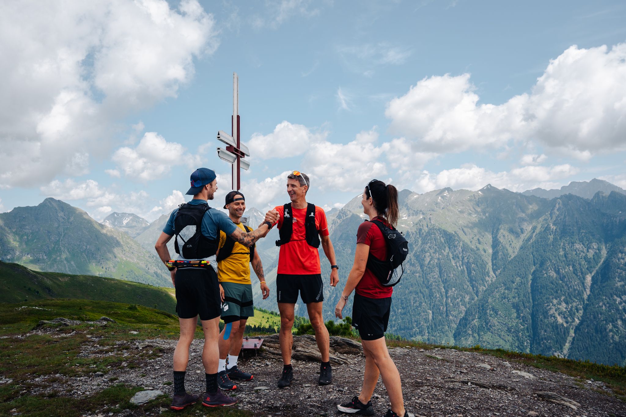
Lungauer Tauern Crown - Hike & Trail through the Salzburg Lungau
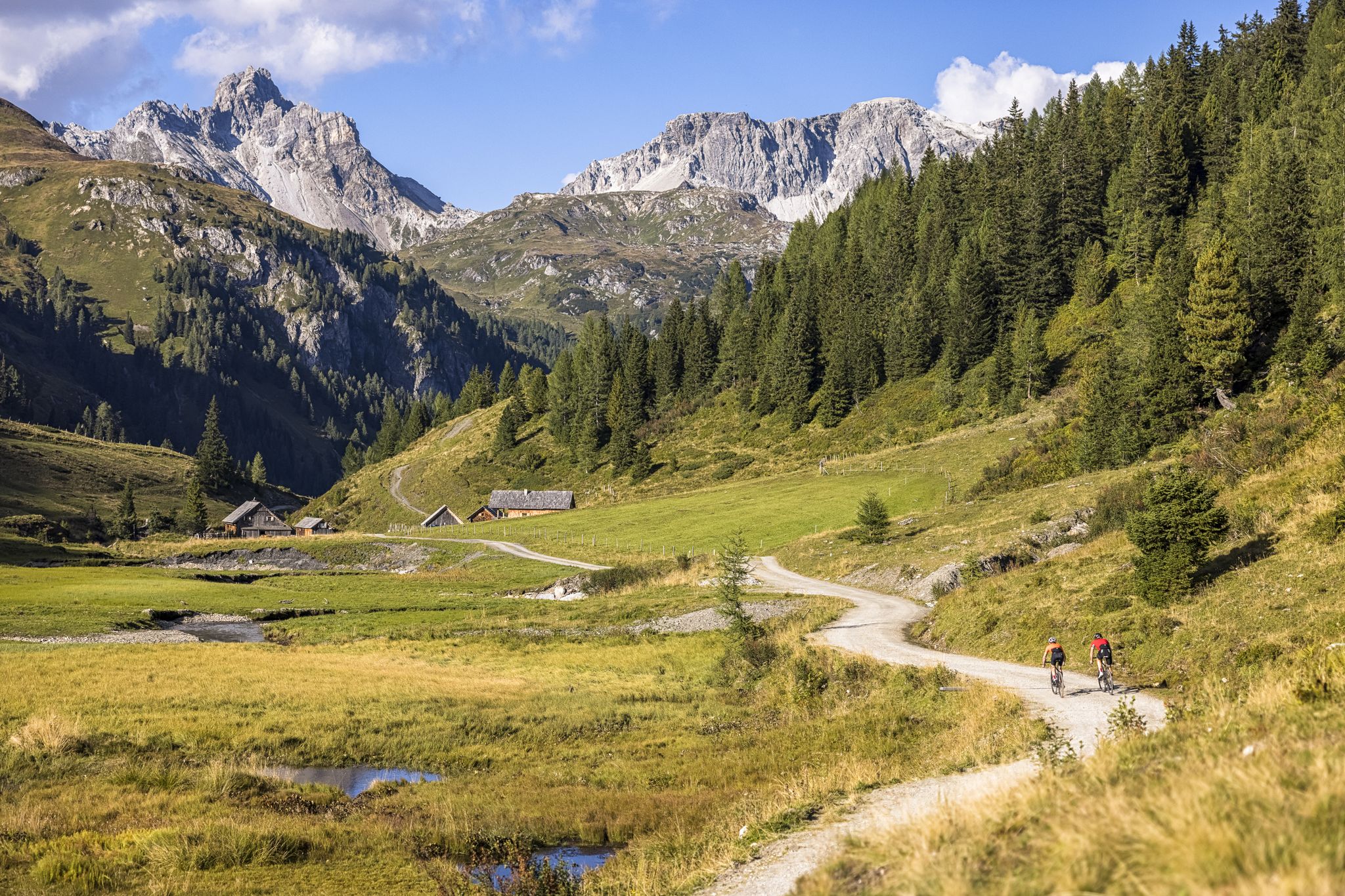
Epic biking – the best MTB routes in Salzburg's Lungau region
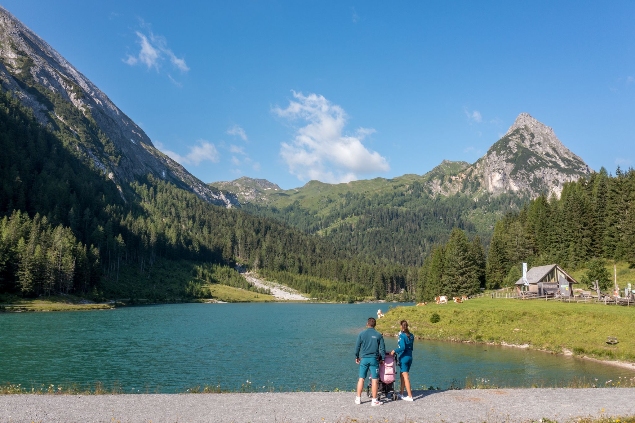
Erlebnisreich wandern - Die 11 schönsten Themenwege im Salzburger Lungau
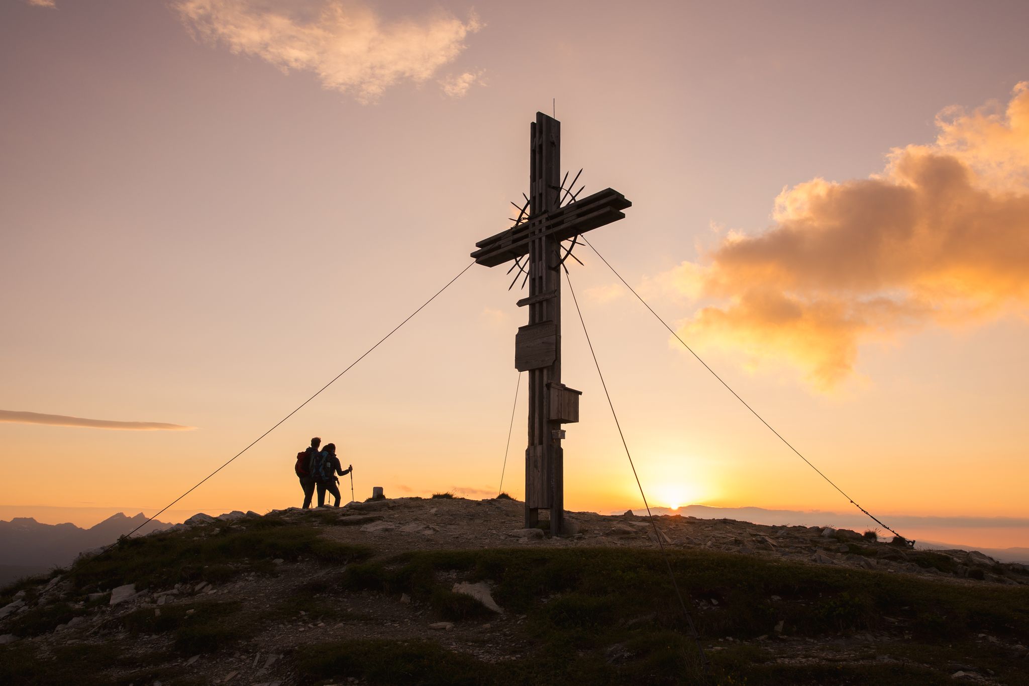
Zwischen Himmel und Erde - Gipfelstürmen im Salzburger Lungau
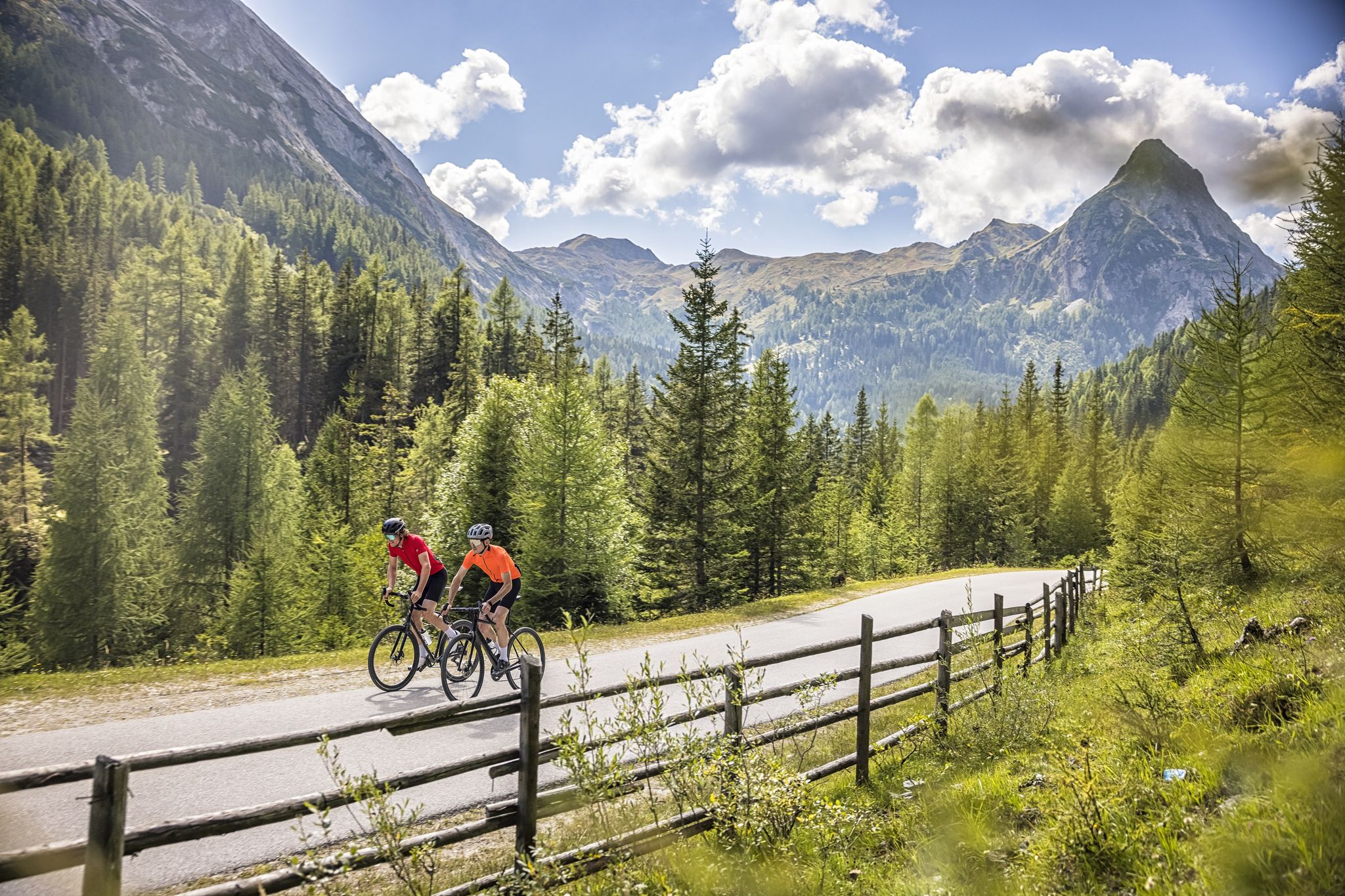
Abenteuer auf zwei Rädern - mit dem Gravelbike durch den Salzburger Lungau
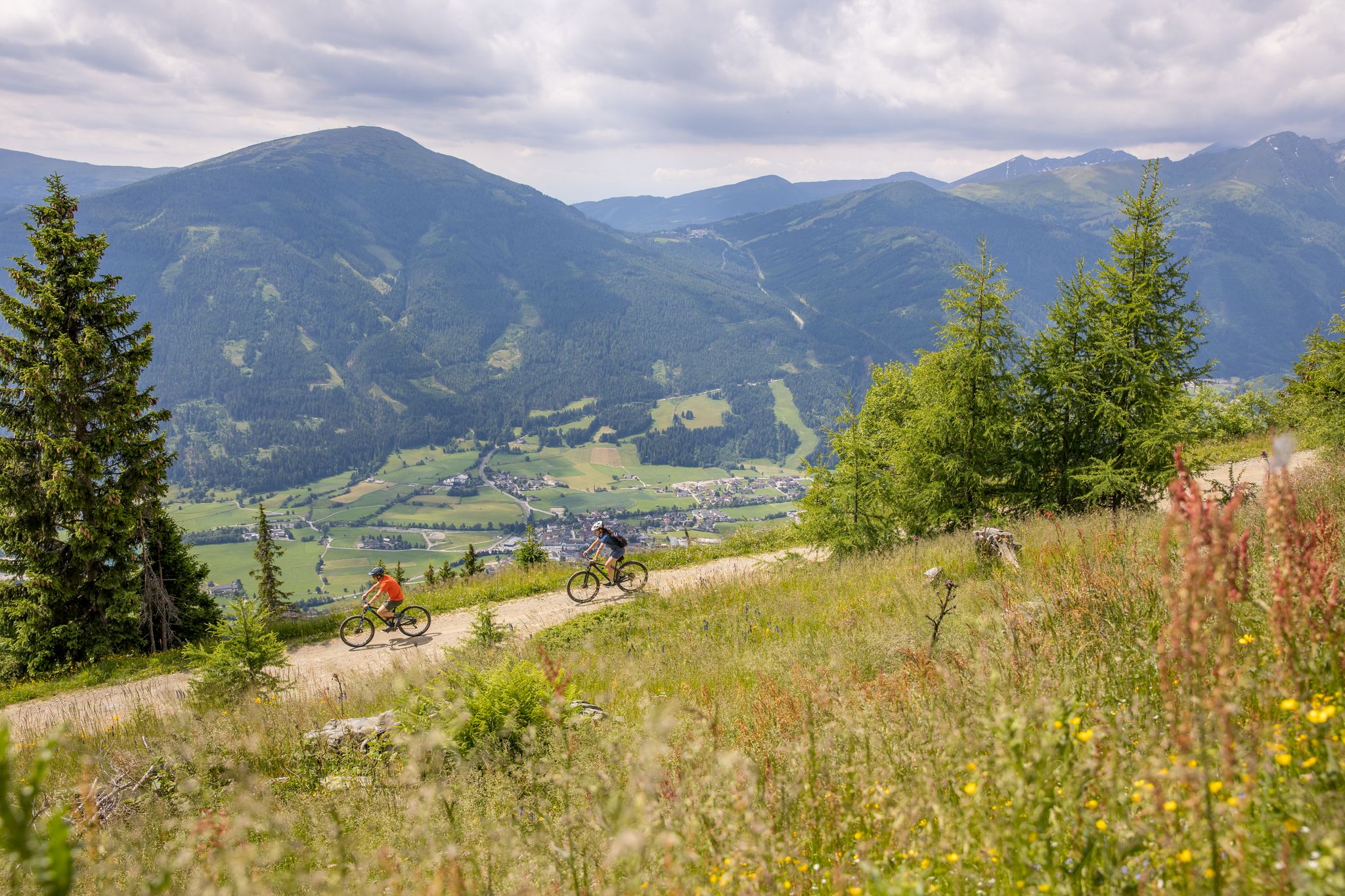
Durch Wälder und Berge - Mit dem Mountainbike durch den Salzburger Lungau
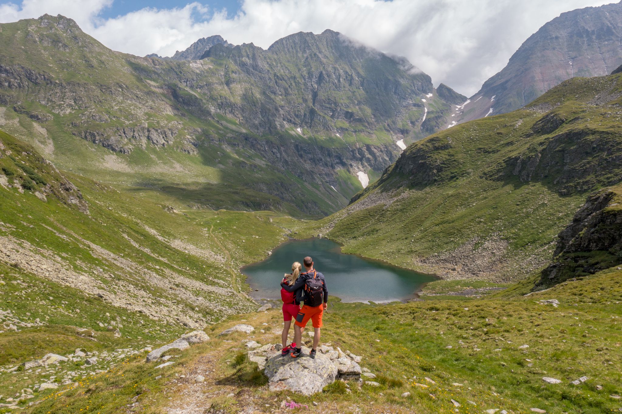
Wanderung ins Blaue - Bergseen sammeln im Salzburger Lungau
Hiking around Weißpriach
Road Cycling Routes around Weißpriach
MTB Trails around Weißpriach
Other adventures around Weißpriach


Tips from the Community

...a beautiful and challenging tour with a great view 🥾👀
3
0

A beautiful spot for sure-footed hikers.
0
0

Climbed at the end of June. There was a huge snowfield to cross. Very challenging without hiking poles.
0
0

Be careful! From Oberhüttensee onwards, it is no longer possible to "ride" the MTB or EMTB! Here you have to push, lift and sometimes carry! The scenery is an absolute dream! Lots of small lakes, a great view!
2
0

From Radstadt to Untertauern you can drive quickly, from Untertauern onwards things really get going! It's better to leave very early because of the traffic...
2
0

There are some pushing and carrying sections, but it's also doable with an e-bike. A certain level of fitness and technical riding skills are required. If you're already out of breath at the Oberhütte, it's best to turn back.
3
1

Pushing and carrying passage with great views
1
0

Carrying and pushing is also part of it
1
0
Frequently Asked Questions
What kind of mountain passes can I expect to find around Weißpriach?
Around Weißpriach, you'll primarily encounter high-altitude crossings, cols, and saddles along mountain ridges rather than traditional road passes. These offer challenging routes and spectacular panoramic views, leading to diverse alpine landscapes. The region is part of a UNESCO Biosphere Reserve, known for its pristine nature, lush meadows, dense forests, and clear mountain lakes.
What are some of the most challenging mountain passes in the Weißpriach area?
For those seeking a challenge, the Golling Col is a demanding climb, often featuring snowfields even in late spring. The Seekarscharte (Tauern Pass) also requires technical skill, with sections where you might need to push or carry your bike. The Akarscharte, situated between the Steirische and Lungauer Kalkspitze, is another beautiful yet challenging tour with magnificent views. For hikers, the Zinkwand summit route also guarantees steep perspectives and alpine passages.
Are there any mountain passes around Weißpriach that offer stunning panoramic views?
Absolutely! Many of the high-altitude crossings in the region are renowned for their views. The Golling Col and Seekarscharte (Tauern Pass) are both excellent viewpoints. The Akarscharte (Akar Col) offers a great place to pause and take in the magnificent scenery of the Schladminger Tauern. Additionally, the Gollitschspitze, while not a pass, provides extensive views stretching from Großglockner to Hochkönig.
What natural features can I expect to see when exploring the mountain passes near Weißpriach?
The region is rich in natural beauty. You'll encounter numerous crystal-clear mountain lakes, such as those near the Seekarscharte (Tauern Pass), and the Oberhüttensee near Brotrinnl. The naturally winding Longa river meanders through the Weißpriachtal, offering tranquil spots. Expect lush green meadows, dense forests, and diverse alpine landscapes, all within a UNESCO Biosphere Reserve.
Are there family-friendly mountain passes or routes suitable for beginners near Weißpriach?
While many routes are challenging, there are options for varying skill levels. The Obertauern Resort Village area offers scenic routes with a steady, easy ascent from the south, making it more accessible. The circular route over the Zechnerriegel and Fanninghöhe also provides a moderate hike through easily accessible paths, suitable for those with good fitness but less strenuous than other alpine routes.
What is the best time of year to visit the mountain passes around Weißpriach?
The best time to visit for hiking and exploring the high-altitude passes is generally during the warmer months, from late spring to early autumn (June to September). During this period, snow has usually melted from most trails, and the weather is more stable. However, be aware that some higher passes, like the Golling Col, can retain snowfields into late June.
Are there any amenities like cafes or huts available along the mountain pass routes?
Yes, the region offers opportunities to rest and refuel. Many hiking routes lead to alpine huts where regional delicacies can be enjoyed. The Obertauern Resort Village itself provides facilities. While the Golling Col is a sheltered spot for a rest, it's always advisable to carry your own provisions, especially on more remote routes.
What outdoor activities can I do near these mountain passes?
The area around Weißpriach is a paradise for outdoor enthusiasts. Besides exploring mountain passes, you can enjoy a wide variety of activities. There are numerous mountain hikes, from easy walks to challenging mountaineering routes, often leading past mountain lakes. The region also offers excellent running trails and diverse MTB trails, including sections of the Stoneman circuit.
What do visitors enjoy most about the mountain passes around Weißpriach?
Visitors frequently highlight the breathtaking panoramic views and the immersive alpine experience. The challenging nature of routes like the Golling Col and Seekarscharte (Tauern Pass) is often cited as rewarding, with the effort compensated by stunning scenery, clear mountain lakes, and a sense of accomplishment. The pristine nature and tranquility of the UNESCO Biosphere Reserve are also highly appreciated.
Are there any circular routes that include mountain passes near Weißpriach?
Yes, there are several rewarding circular routes. A challenging circular hike includes the Ahkarscharte and Brotrinnl, often combined with ascents to the Steirische and Lungauer Kalkspitze. Another scenic option is the circular route over the Zechnerriegel and Fanninghöhe, which descends via the Liebestal and Zirmbar, offering expansive views over alpine meadows.
What kind of terrain should I expect on the mountain passes in Weißpriach?
The terrain varies from easily accessible paths on moderate routes to very steep and demanding sections on challenging alpine trails. You can expect rocky paths, some scree, and potentially snowfields at higher elevations, even in summer. Sure-footedness, sturdy shoes, and alpine experience are often recommended, especially for routes like the Seekarscharte (Tauern Pass) which involves pushing or carrying bikes over jagged rocks and steps.
Is the Weißpriach region historically significant regarding mountain passes?
Yes, the broader Lungau region, where Weißpriach is located, has historical significance as a crossing point through the Alps. While modern tunnels have eased travel, the old pass roads and high-altitude crossings were historically vital for movement and trade, contributing to the region's rich cultural heritage.
Most popular routes around Weißpriach
Most popular attractions around Weißpriach

Get inspired with the komoot mobile app


Explore more
See even more epic mountain passes by checking out these guides around Weißpriach:
