The best hikes from bus stations around Weißpriach
4.5
(11992)
61,852
hikers
19
hikes
Bus station hiking trails around Weißpriach are set within the UNESCO Biosphere Reserve Salzburger Lungau, characterized by its diverse alpine landscapes. The region features the naturally winding Longa mountain stream, numerous crystal-clear mountain lakes, and majestic peaks often exceeding 2,000 meters. Hikers will encounter lush alpine pastures, dense forests, and stunning waterfalls, all contributing to a varied and scenic outdoor experience.
Best bus station hiking trails around Weißpriach
- The most popular bus station hiking route is Ullnhütten Waterfall – Tonimörtlhütte…
Last updated: June 27, 2026
4.8
(132)
516
hikers
15.8km
05:20
630m
630m
Hard hike. Very good fitness required. Mostly accessible paths. Sure-footedness required.
4.8
(52)
221
hikers
12.2km
04:05
610m
610m
Moderate hike. Good fitness required. Easily-accessible paths. Suitable for all skill levels.

Sign up for free
4.5
(2)
29
hikers
4.18km
02:08
380m
370m
Moderate hike. Good fitness required. Mostly accessible paths. Sure-footedness required.
4.6
(15)
71
hikers
10.6km
03:39
580m
580m
Moderate hike. Good fitness required. Easily-accessible paths. Suitable for all skill levels.
5.0
(5)
34
hikers
17.7km
06:34
890m
890m
Hard hike. Very good fitness required. Mostly accessible paths. Sure-footedness required.
Get access to more routes and recommendations from other explorers.
Sign up for free
Already have an account?
Our route recommendations are based on thousands of hikes, rides, and runs completed by other people on komoot.
Start today with a free account
Your next adventure awaits.
Login or Signup
Popular around Weißpriach
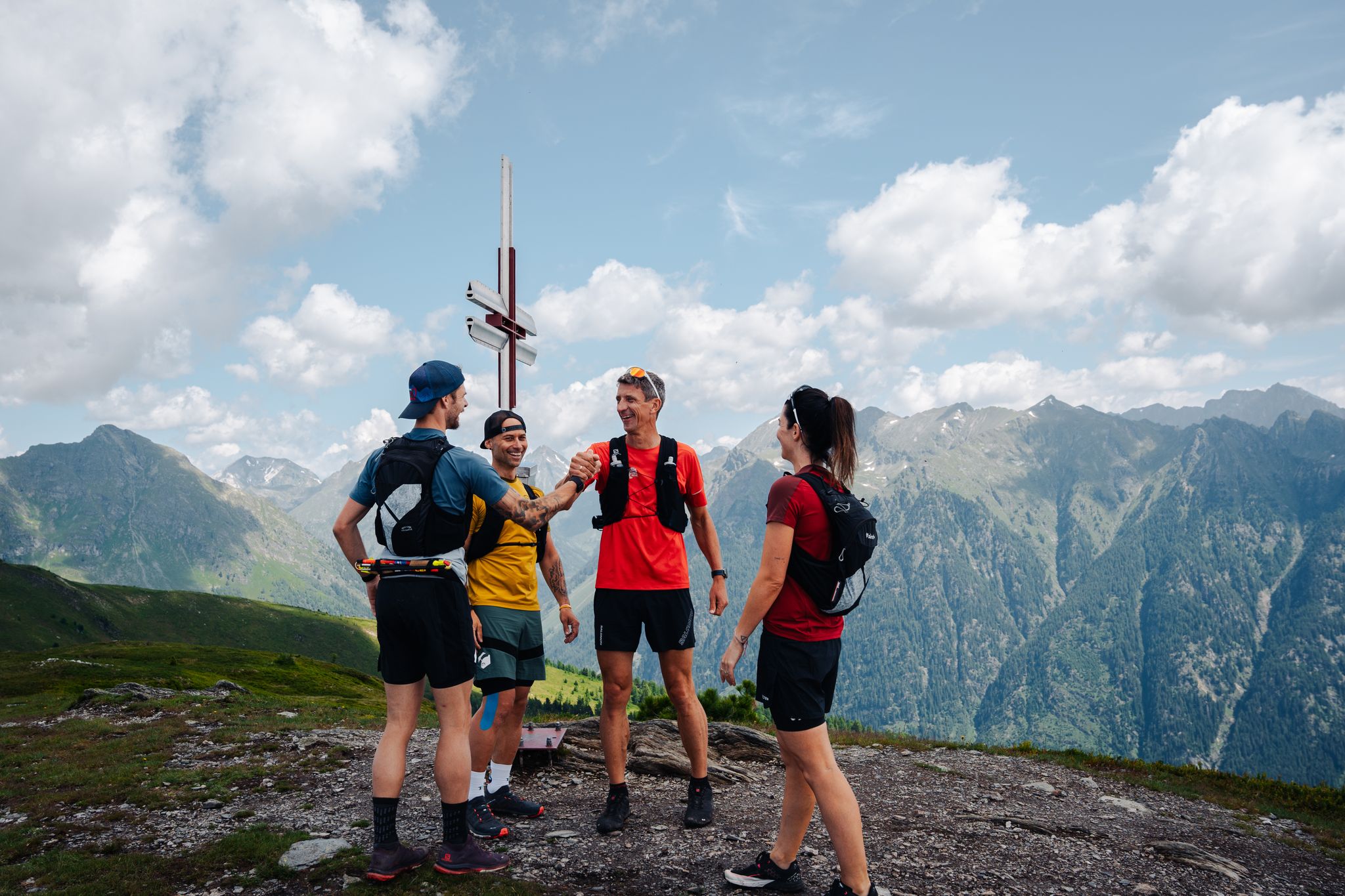
Lungauer Tauern Crown - Hike & Trail through the Salzburg Lungau
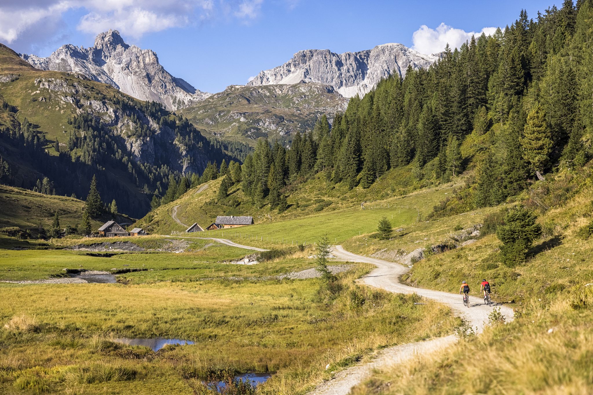
Epic biking – the best MTB routes in Salzburg's Lungau region
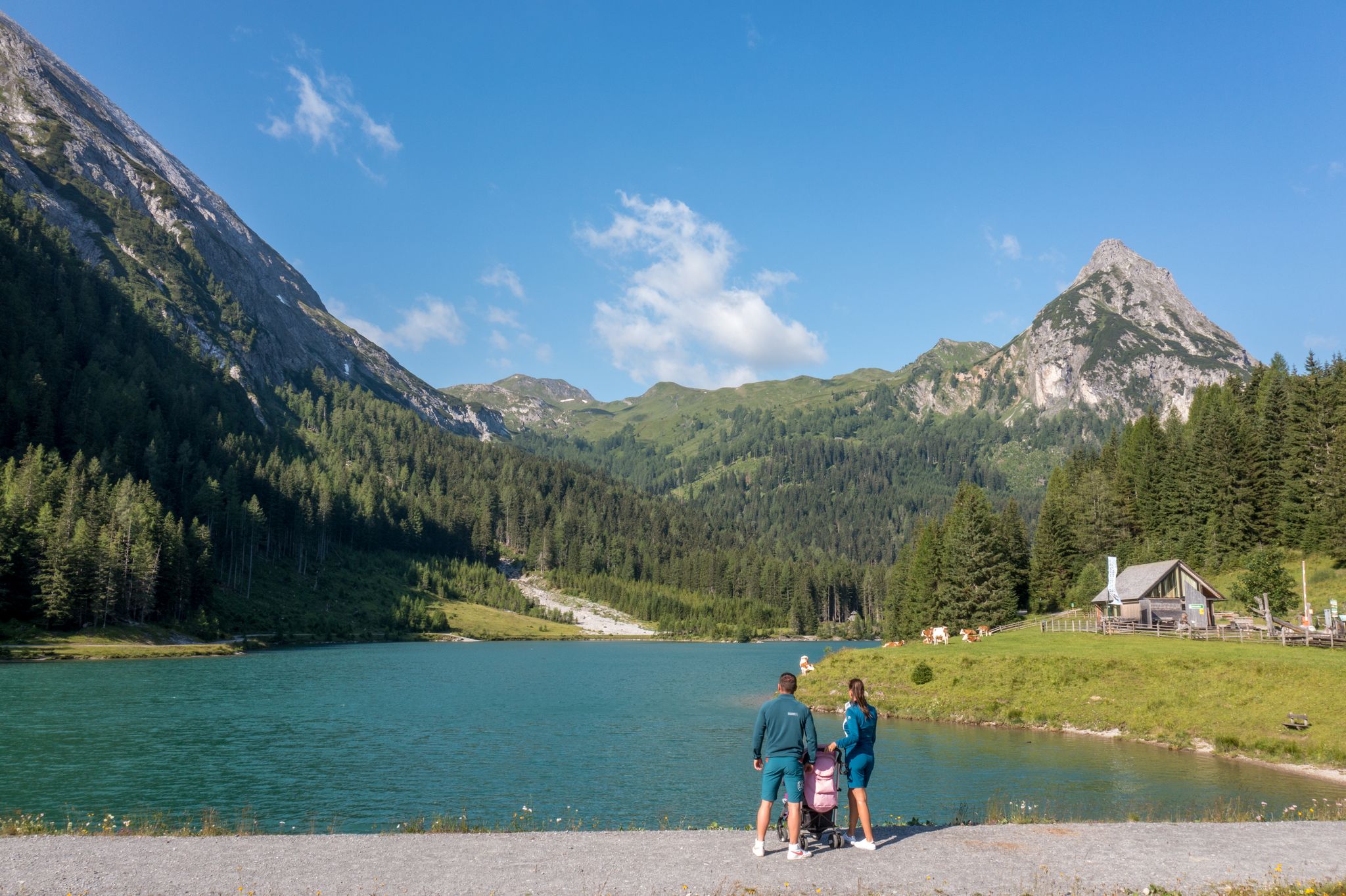
Erlebnisreich wandern - Die 11 schönsten Themenwege im Salzburger Lungau
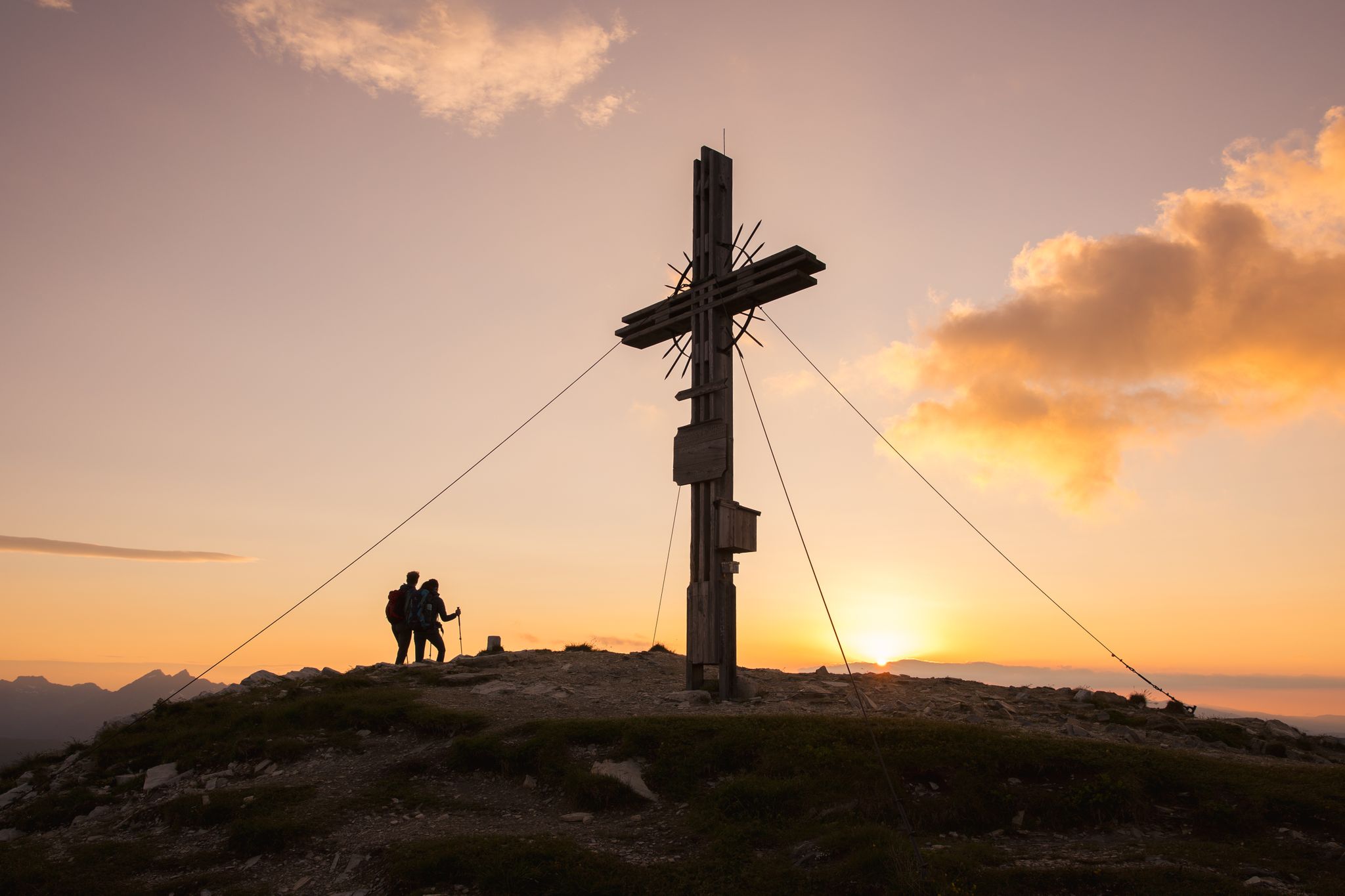
Zwischen Himmel und Erde - Gipfelstürmen im Salzburger Lungau
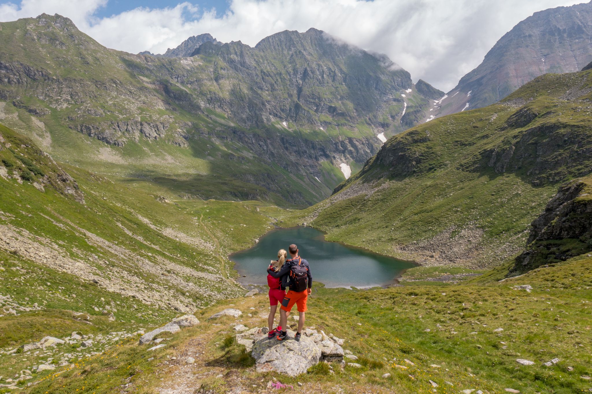
Wanderung ins Blaue - Bergseen sammeln im Salzburger Lungau
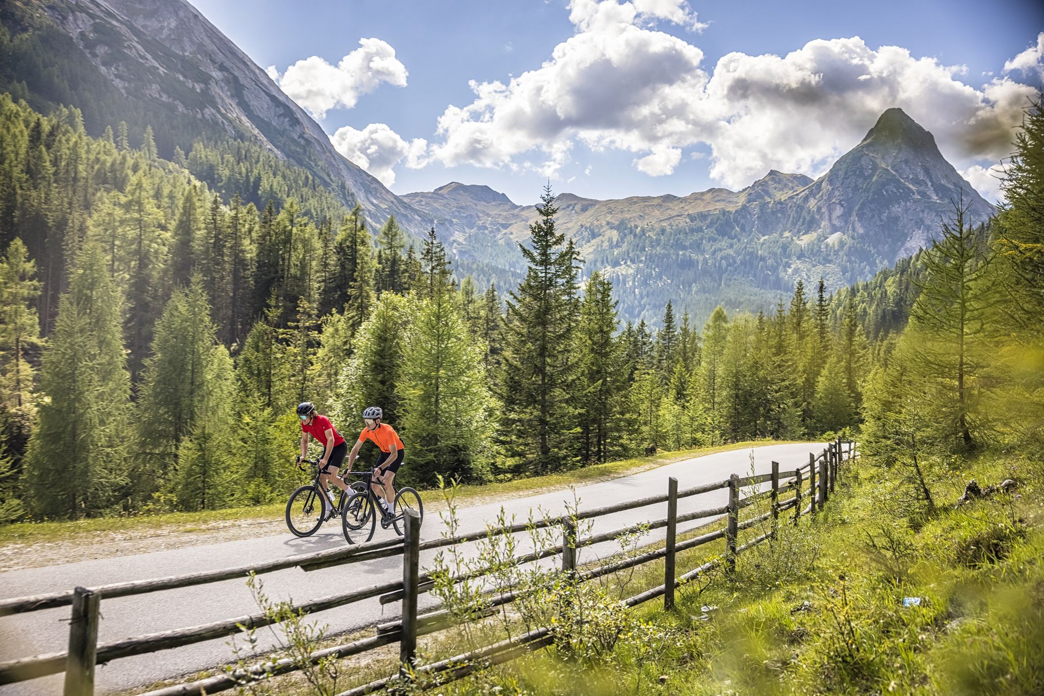
Abenteuer auf zwei Rädern - mit dem Gravelbike durch den Salzburger Lungau
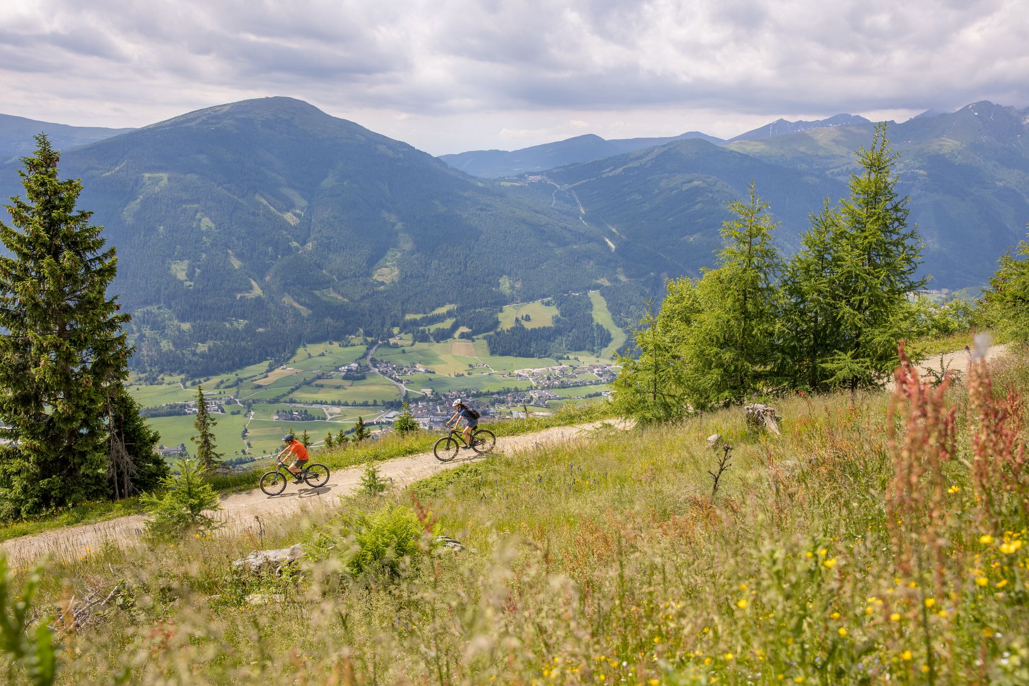
Durch Wälder und Berge - Mit dem Mountainbike durch den Salzburger Lungau
Other adventures around Weißpriach


Tips from the Community

Nice cozy round with a view into the valley towards Tweng
1
0
From here, a 6-seater chairlift quickly takes you up to the next run... in case of snowfall, a hood can be lowered... very nice indeed.
4
0
Take off your skis and struggle up a few meters, then you can sign the summit register.
3
0
Rather uninteresting for skiers as it is unmanaged.
6
0
The new Fanningberg symbol and the selfie point on the slope
5
0

Frequently Asked Questions
How many bus station hiking trails are available in Weißpriach?
There are 19 diverse hiking routes accessible directly from bus stations in Weißpriach. These include 8 easy, 7 moderate, and 4 difficult trails, offering options for various fitness levels.
What makes hiking from bus stations in Weißpriach unique?
Hiking from bus stations in Weißpriach offers convenient access to the stunning UNESCO Biosphere Reserve Salzburger Lungau. You can explore the naturally winding Longa mountain stream, picturesque valleys like Weißpriachtal, and numerous mountain lakes without needing a car, making it an environmentally friendly and accessible way to experience the region's natural beauty.
Are there easy or beginner-friendly hikes accessible by bus in Weißpriach?
Yes, Weißpriach offers 8 easy hiking routes that are perfect for beginners or those seeking a relaxed stroll. These trails often follow gentle paths along the Longa river or through lush alpine pastures, providing beautiful scenery without demanding climbs.
Can I find circular hiking routes starting from bus stations?
Absolutely. Many routes are designed as loops, bringing you back to your starting point. For example, the Zechnerriegel Summit Cross – Fanninghöhe Summit loop from Weißpriach is a moderate option that allows you to experience the scenic landscape and return conveniently.
Are the bus-accessible trails in Weißpriach suitable for families?
Yes, many of the easy and moderate trails are well-suited for families. They often feature gentle gradients and offer opportunities to enjoy nature, such as along the Longa River. The region's diverse landscapes provide engaging experiences for all ages.
Are there trails that lead to waterfalls near Weißpriach bus stops?
Yes, the region is known for its beautiful waterfalls. You can explore routes like the Ullnhütten Waterfall – Tonimörtlhütte loop from Lonka, which takes you past the impressive Ullnhütten Waterfall. Other notable waterfalls in the broader area include the Great Riesach Falls and Johannes Waterfall.
Which trails offer the best viewpoints accessible by public transport?
For breathtaking panoramic views, consider routes that ascend to higher elevations. The Zirmbar – Fanninghöhe Summit loop from Weißpriach offers stunning vistas. The region is also home to majestic peaks like Speiereck Summit (2,411 m) and Gasselhöhe, which can be reached via more challenging routes.
Are there any mountain huts or places to stop for refreshments along bus-accessible routes?
Yes, the Weißpriach region is dotted with numerous farmed mountain huts strategically located along the trails. These huts offer hikers places to rest, enjoy traditional refreshments, and sometimes even simple accommodation. Many routes, including those accessible by bus, will pass by or near these welcoming stops.
What natural attractions can I explore on these bus-accessible hikes?
Beyond waterfalls, you can discover the serene Duisitzkar Lake, the clear waters of the Longa River, and the mystical Wirpitschsee mountain lake. The trails also lead through lush alpine pastures and dense forests, showcasing the diverse flora and fauna of the UNESCO Biosphere Reserve.
What do other hikers say about the trails around Weißpriach?
The hiking trails around Weißpriach are highly rated by the komoot community, with an average score of 4.5 stars from over 11,900 ratings. Reviewers often praise the stunning natural beauty, the well-maintained paths, and the variety of routes suitable for all skill levels, especially highlighting the peacefulness of the Weißpriachtal valley.
Are dogs allowed on the hiking trails accessible by bus?
Generally, dogs are welcome on most hiking trails in the Weißpriach region. However, it's always advisable to keep them on a leash, especially in nature reserves, near livestock, or in crowded areas. Please also ensure you carry water for your dog and clean up after them.
What is the best season for hiking from bus stations in Weißpriach?
The best season for hiking in Weißpriach is typically from late spring to early autumn (May to October), when the weather is mild, and the alpine meadows are in full bloom. However, the region also offers beautiful winter hiking opportunities on cleared trails along the Longa river, and snowshoeing for those seeking a different experience.
Are there options for winter hiking from bus stops in Weißpriach?
Yes, even in winter, Weißpriach remains a great destination for hikers. Many trails along the Longa river are cleared for winter hiking, offering a magical, snow-covered landscape. For more adventurous winter experiences, snowshoeing routes are also available, often accessible from various points in the valley.
Most popular routes around Weißpriach
Most popular attractions around Weißpriach

Get inspired with the komoot mobile app


Explore more
Browse the best Hikes in other regions.
