The best walks and hikes around East Grand Forks
26
hikers
6
hikes
Hiking around East Grand Forks is characterized by the flat, fertile Red River Valley, a landscape shaped by the ancient glacial Lake Agassiz. The Red River and Red Lake River are central features, providing scenic waterways and forming the backbone of the region's green spaces. The area offers developed recreational areas like the Greater Grand Forks Greenway, which provides extensive trail systems along the rivers.
Best hiking trails around East Grand Forks
- The most popular hiking route is Greater Grand…
Last updated: October 11, 2026
4
hikers
5.12km
01:18
10m
10m
Easy hike. Great for any fitness level. Easily-accessible paths. Suitable for all skill levels.
1
hikers
18.2km
04:38
60m
60m
Moderate hike. Good fitness required. Easily-accessible paths. Suitable for all skill levels.

5
hikers
6.37km
01:36
0m
0m
Easy hike. Great for any fitness level. Easily-accessible paths. Suitable for all skill levels.
6
hikers
Easy hike. Great for any fitness level. Easily-accessible paths. Suitable for all skill levels.
6
hikers
6.93km
01:46
20m
20m
Easy hike. Great for any fitness level. Easily-accessible paths. Suitable for all skill levels.
Our route recommendations are based on thousands of hikes, rides, and runs completed by other people on komoot.
Start today with a free account
Your next adventure awaits.
Popular around East Grand Forks


Tips from the Community

The Minnesota Department of Natural Resources has developed a Hiking Club program that features a trail in each of its 68 state parks and recreational areas (https://www.dnr.state.mn.us/state_parks/clubs.html). Sometimes the trailhead for these hikes can be tricky to find, so here is the trailhead for the Red River Recreation Area State Park Hiking Club trail. There is a marker with a password somewhere along the length of the trail, but I am not going to reveal that. You have to find it yourself!
3
0

During North Dakota's bitter winter months, this building is open to the public as a warming house for visitors to take a break indoors from the chilly temperatures.
0
0
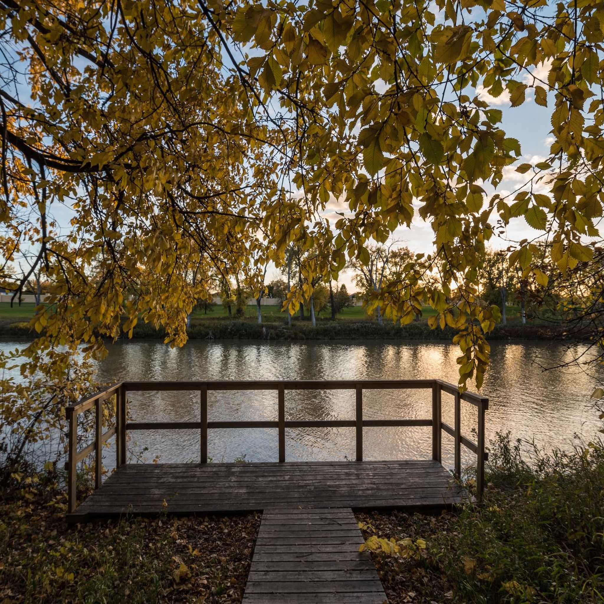
The Red River of the North, not to be confused with the Red River of the South that runs through southern states such as Texas and Oklahoma, empties into Lake Winnipeg and ultimately flows into Hudson Bay. The river serves as most of the border between Minnesota and North Dakota.
0
0

Grand Forks is the last city before you cross over into Minnesota. If you go over the bridge, you can cross over state lines.
0
0
Frequently Asked Questions
How many hiking trails are available in East Grand Forks?
East Grand Forks offers a selection of 6 hiking routes, primarily focusing on easy to moderate difficulty levels. These trails provide diverse experiences, from riverside paths to urban greenways, allowing you to explore the unique landscape of the Red River Valley.
What kind of terrain can I expect on hiking trails in East Grand Forks?
The terrain in East Grand Forks is largely characterized by the flat, fertile Red River Valley, a remnant of ancient glacial Lake Agassiz. Trails are generally well-maintained and accessible, often paved or gravel, especially within the Greater Grand Forks Greenway. You'll find gentle paths along the Red and Red Lake Rivers, offering scenic views without significant elevation changes.
Are there any family-friendly hiking options in East Grand Forks?
Yes, many trails in East Grand Forks are ideal for families due to their generally flat and accessible nature. The Red River State Recreation Area Hiking Club Trail is an excellent easy option, offering a pleasant 5.1 km walk. The extensive paved paths of the Greater Grand Forks Greenway also provide safe and enjoyable experiences for all ages.
Can I bring my dog on the hiking trails in East Grand Forks?
Many trails in East Grand Forks, particularly within the Greater Grand Forks Greenway and the Red River State Recreation Area, are dog-friendly. Always ensure your dog is on a leash and that you clean up after them to maintain a pleasant environment for all users. Specific park regulations may apply, so it's always good to check local signage.
Are there any loop hikes available in East Grand Forks?
Yes, several loop options are available for hikers in East Grand Forks. For example, the Experimental Miyawaki Forest loop from Alerus Center offers a 6.4 km easy loop. Another great option is the Riverside Park Warming House loop from Red River State Recreation Area, which is an easy 6.9 km route.
What natural features or landmarks can I see while hiking in East Grand Forks?
Hiking in East Grand Forks offers views of the Red and Red Lake Rivers, which are central to the area's landscape. The Greater Grand Forks Greenway itself is a significant feature, providing nature preserves and wildlife observation areas. You can also explore the unique flat topography of the Red River Valley, a remnant of glacial Lake Agassiz. For more information on local attractions, you can visit Visit Grand Forks.
Is there parking available at the trailheads?
Yes, parking is generally accessible at various points along the major trail systems in East Grand Forks. For trails within the Greater Grand Forks Greenway and the Red River State Recreation Area, you'll find designated parking areas. Given the urban integration of these trails, many points of access offer convenient parking options.
Are there any longer distance hiking opportunities near East Grand Forks?
For those seeking longer distances, the Greater Grand Forks Greenway offers an extensive 18.2 km moderate route, including a 10-mile continuous loop connecting both East Grand Forks and Grand Forks. Further afield, the Agassiz Recreational Trail provides a 52-mile option, and Itasca State Park, though about two hours away, boasts over 49 miles of trails.
What is the best time of year for hiking in East Grand Forks?
The best time for hiking in East Grand Forks is typically during the spring, summer, and fall months when the weather is mild and the natural scenery is vibrant. Spring brings fresh greenery, summer offers warm days, and fall showcases beautiful foliage. Winter hiking is also possible, especially on groomed trails, but requires appropriate gear for colder conditions.
Are there any challenging hikes in or near East Grand Forks?
The immediate East Grand Forks area, characterized by the flat Red River Valley, primarily offers easy to moderate trails. The most challenging route listed is the Greater Grand Forks Greenway, which is moderate due to its 18.2 km length rather than significant elevation changes. For more varied terrain, you might consider Turtle River State Park, less than 30 minutes away, which offers trails through woodlands.
Can I access hiking trails using public transport in East Grand Forks?
Given the urban setting of many trails, particularly within the Greater Grand Forks Greenway, some access points may be reachable via local public transport. However, specific routes and schedules should be checked with the local transit authority for the most up-to-date information, as direct trailhead access might be limited.
Most popular routes around East Grand Forks

Get inspired with the komoot mobile app


