The best mountain hikes around Zülpich
4.3
(18)
27
hikers
2
hikes
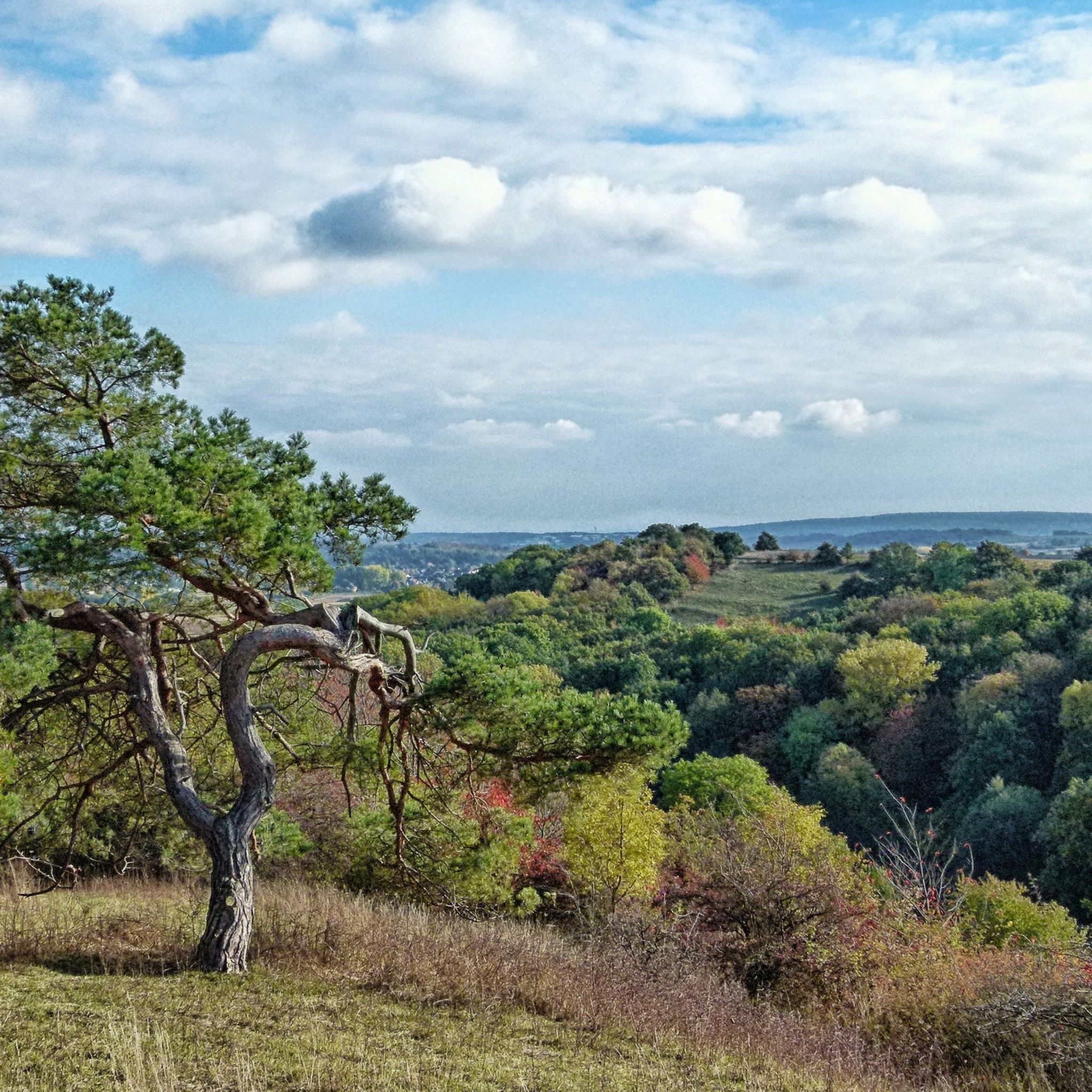
Mountaineering routes around Zülpich are situated within the Eifel region, characterized by its low mountains and hilly foothills. The landscape features expansive forests, numerous lakes, and varied terrain suitable for challenging hikes. While not offering high-altitude or technical climbing, the area provides diverse routes through natural reserves and along historical paths. This region is defined by its mix of woodland, open views, and water bodies, creating a dynamic environment for outdoor pursuits.
Best mountaineering routes around Zülpich
- The most popular…
Last updated: October 8, 2026
4.8
(18)
23
hikers
19.8km
05:58
610m
610m
Hard mountaineering route. Very good fitness required. Easily-accessible paths. Suitable for all skill levels.
3.0
(1)
2
hikers
4.02km
01:10
100m
100m
Easy mountaineering route. Great for any fitness level. Easily-accessible paths. Suitable for all skill levels.

5.0
(1)
4
hikers
8.29km
02:28
230m
230m
Moderate mountaineering route. Good fitness required. Mostly accessible paths. Sure-footedness required.
Our route recommendations are based on thousands of hikes, rides, and runs completed by other people on komoot.
Start today with a free account
Your next adventure awaits.
Tips from the Community

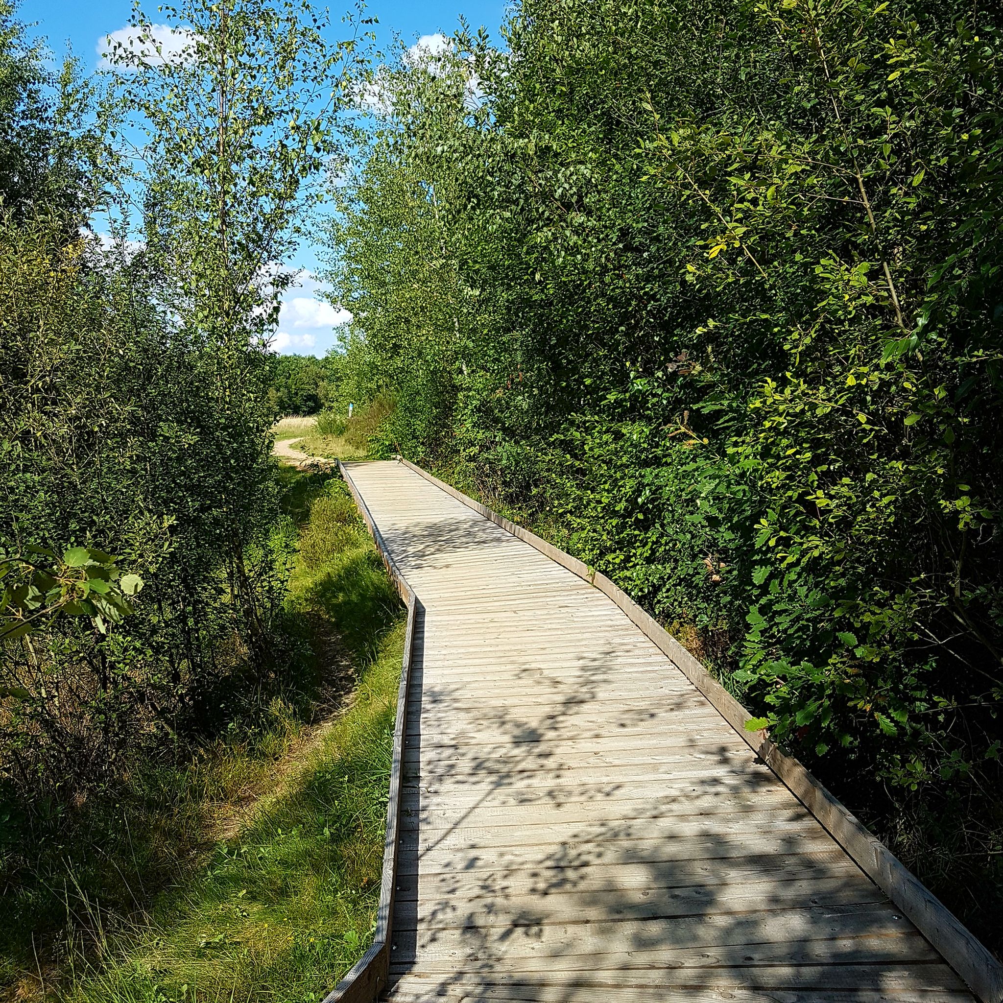
Hi 👋😊 This highlight is located in the Eifel National Park. To protect sensitive species, there are special rules here: Stay on official paths, keep dogs on a leash, take your trash back with you, and cycle/MTB only on designated paths. Smoking and fires are taboo – wildfire risk🔥! Thanks for your understanding! 💚 Further information can be found at www.nationalpark-eifel.de. We wish you a great time in the emerging wilderness!
1
0


This route offers room for variations....
0
0

Great area… Absolutely recommendable, definitely again that’s for sure
1
0

Through the Hindenburger Gate, up the rocky path and you come to a viewpoint with a beautiful view of the Rur valley
3
0

Anyone familiar with the ancient idiom—now largely lost—will recognize the root word "meucheln" (to kill/murder) in the "Meuchelberg" found here. The fact that the local cemetery is located at its foot on the outskirts of Heimbach naturally reinforces this impression. GH's interesting article, with its link to several legends that—albeit with different interpretations of the details—all convey the same core message, could indeed explain the name.
8
0

The forest path that leads there is also easy to walk with a stroller.
2
0

Unfortunately, the cafe and the legendary cream puffs are no longer there.
1
0
Frequently Asked Questions
How many mountaineering routes are available around Zülpich?
There are 4 mountaineering routes around Zülpich, offering diverse experiences from easy loops to more challenging ascents through the Eifel foothills and forests.
Are there any easy mountaineering routes suitable for beginners or families?
Yes, Zülpich offers easy routes. The Heimbach Reservoir loop from Rur Dam is a 4.1 km trail that takes about 1 hour 13 minutes, leading through the scenic Eifel Lake District. Another easy option is the Altusknipp summit cross – Mühlensee (Kommern) loop from Mechernich, which is 4.9 km long and takes around 1 hour 24 minutes.
What kind of landscapes can I expect on mountaineering routes near Zülpich?
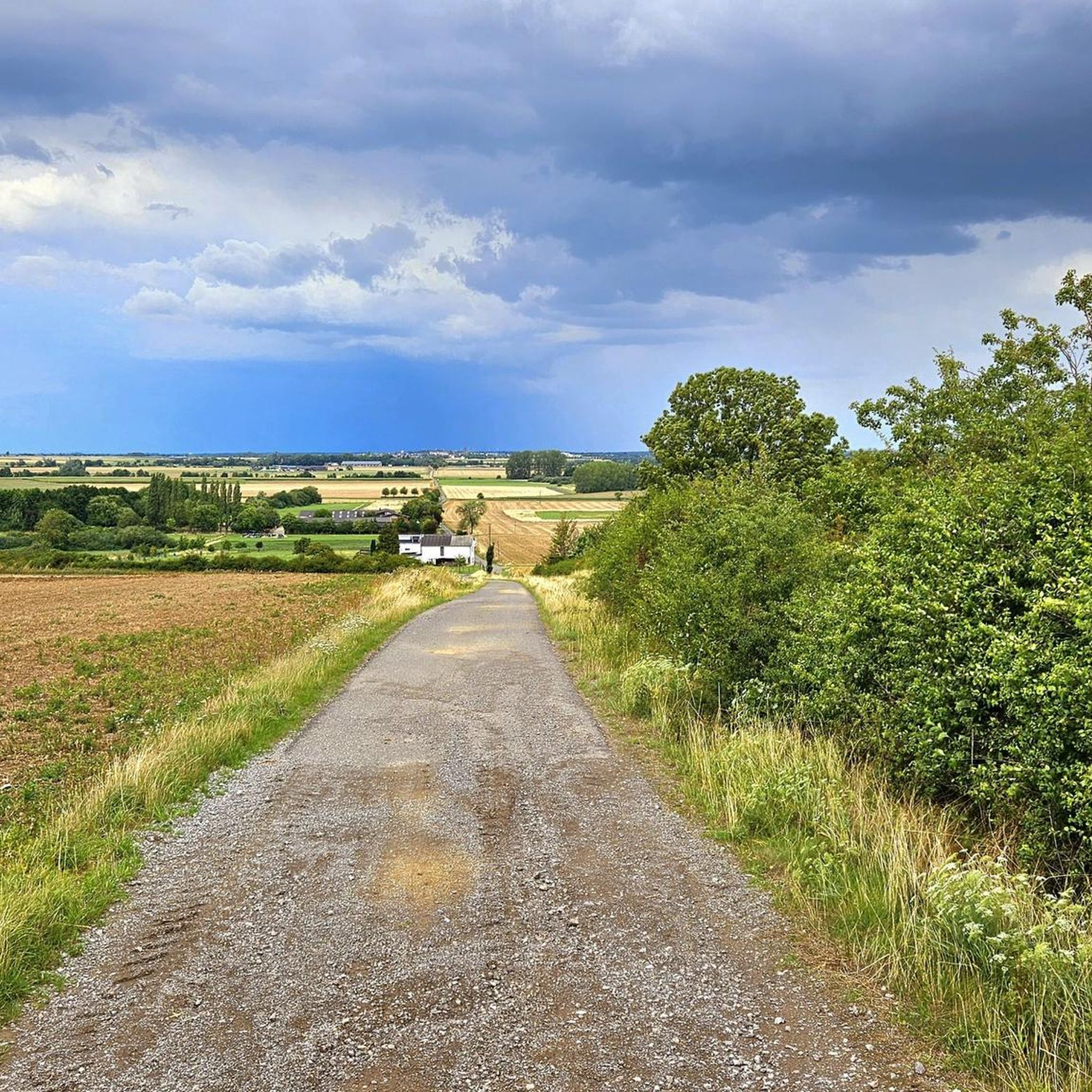
Mountaineering routes around Zülpich traverse a varied landscape characterized by hilly Eifel foothills, dense forests, and picturesque lakes. You'll find a mix of woodland, open views, and water bodies, especially around the Rur valley and the Eifel Lake District.
Are there any circular mountaineering routes in the Zülpich area?
Yes, many routes are circular. For example, the challenging Hausen Village – Rur River in Heimbach loop from Hausen is a 19.8 km circular trail. A moderate option is the Eugenienstein – Mausauel Rur Bridge loop from Nideggen, which is 12.8 km. For an easier circular walk, consider the Heimbach Reservoir loop from Rur Dam.
What are the best times of year for mountaineering in Zülpich?
Zülpich benefits from one of Germany's sunniest climates, with less rain and more warmth due to the lee effect behind the Eifel. This makes spring, summer, and autumn ideal for mountaineering. The pleasant weather enhances the experience of outdoor activities throughout these seasons.
Are there any specific attractions or viewpoints along the mountaineering routes?
While the routes themselves offer scenic views of the Eifel foothills and Rur valley, you can also explore nearby natural and historical highlights. Consider visiting the Katzensteine Sandstone Rock Formation or the Mühlensee (Kommern). For those interested in geological features, the Kakus Cave and Kartstein Cliffs are also nearby.
What do other mountaineers say about the routes in Zülpich?
The mountaineering routes in Zülpich are highly rated by the komoot community, with an average score of 4.2 stars from over 15 reviews. Reviewers often praise the varied terrain, the quiet woodlands, and the rewarding views over the Eifel landscape.
Are there options for more advanced mountaineers looking for a challenge?
Yes, for those seeking a more challenging experience, the Hausen Village – Rur River in Heimbach loop from Hausen is classified as difficult. This 19.8 km trail features significant elevation gain through forested hills and takes approximately 6 hours to complete.
Is Zülpich Lake Park accessible from any of the mountaineering routes?
While the immediate mountaineering routes focus on the Eifel foothills, Zülpich Lake Park is a central hub for outdoor recreation in the region. It offers activities like swimming, pedal boating, and a zip-line park. You can combine a visit to the Lake Park with a mountaineering trip, though it may require a short drive or separate planning.
What should I wear for mountaineering in Zülpich?
Given the varied terrain and potential for elevation changes, it's advisable to wear sturdy hiking boots with good ankle support. Layered clothing is recommended to adapt to changing weather conditions, as well as waterproof outerwear, especially during cooler or wetter months. Don't forget sun protection and sufficient water.
Are there any public transport options to reach the trailheads?
While specific public transport details for each trailhead vary, Zülpich is generally accessible by regional buses. It's recommended to check local bus schedules and routes to the specific starting points of your chosen mountaineering trail in advance, as some trailheads might be more remote than others.
Are there places to eat or stay near the mountaineering trails?
The Zülpich region, including nearby villages and towns like Nideggen and Heimbach, offers various options for cafes, pubs, and accommodation. You'll find guesthouses, hotels, and restaurants where you can refuel and rest after your mountaineering adventures.
Most popular routes around Zülpich
Most popular attractions around Zülpich

Get inspired with the komoot mobile app


Explore more
Browse the best Mountain Hikes & Routes in other regions.
