The best cycling routes in Seymour Watershed
4.9
(74)
941
riders
4
rides
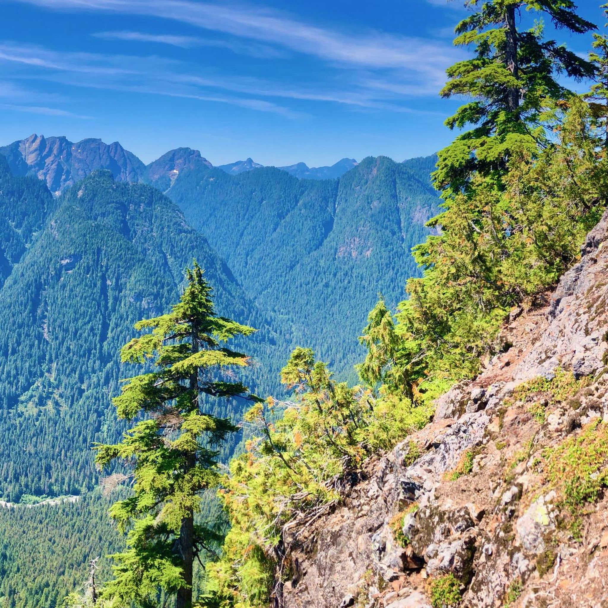
Touring cycling routes in Seymour Watershed navigate a landscape characterized by lush forests, significant reservoirs, and the Seymour River. The region features well-maintained paved multi-use paths, such as the Seymour Valley Trailway, alongside more challenging routes with steeper climbs and varied terrain. Cyclists can experience gentle rolling hills and curves, as well as routes with substantial elevation gain through forested slopes. The watershed is a crucial source of water, with man-made reservoirs and views of alpine peaks.
Best touring cycling…
Last updated: July 3, 2026
4.8
(44)
385
riders
33.8km
02:14
420m
420m
Hard bike ride. Good fitness required. You may need to push your bike for some segments of this route.
4.8
(29)
503
riders
52.1km
04:08
660m
660m
Hard bike ride. Very good fitness required. Mostly paved surfaces. Suitable for all skill levels.

Sign up for free
5.0
(1)
32
riders
76.1km
05:35
980m
980m
Hard bike ride. Very good fitness required. Mostly paved surfaces. Suitable for all skill levels.
21
riders
99.9km
07:44
1,550m
1,550m
Hard bike ride. Very good fitness required. Mostly paved surfaces. Suitable for all skill levels.
Our route recommendations are based on thousands of hikes, rides, and runs completed by other people on komoot.
Start today with a free account
Your next adventure awaits.
Login or Signup
Popular around Seymour Watershed
Tips from the Community

Grand Boulevard Park is a long, linear park located in the North Vancouver. The park runs through the center of the historic Grand Boulevard, creating a wide green corridor that stretches several blocks through the neighborhood. It features open lawns, mature trees, and paved pathways that are popular for walking, jogging, and cycling. The park is also used for community gatherings and seasonal events.
0
0

A really beautiful place to walk.
3
0

On the east side of the bridge’s northern end, near the base of the bridge is a memorial to honor 27 workers who lost their lives on June 17, 1958, when a section of the original Second Narrows Bridge collapsed during construction.
0
0

A nice monument to workers who lost their lives.
0
0

The Seymour River Suspension Bridge was completed and opened in December 2018. This made it possible to walk the Fisherman's Trail (North) all the way through again. After the former Twin Bridges had to be demolished in 2014 following a rockslide and damming of the Seymour River, there was no longer a crossing at this point in the Lower Seymour Conservation Reserve. The Twin Bridges were originally built in 1908 to carry pipelines and were later supplemented by a parallel pedestrian bridge. Years later, the two bridges were combined to form one bridge. https://www.vancouvertrails.com/blog/seymour-river-suspension-bridge/
2
0
The Pipeline Bridge is a pedestrian bridge over Lynn Creek, offering views of the creek in the gorge. The bridge was built in 1993 and serves as one of the park entrances to Lynn Canyon Park and Rice Lake in the Lower Seymour Conservation Reserve. The bridge was built over existing pipelines. A few meters upstream is the Old Pipe Bridge, which is not open to the public.
3
0

Cyclists can bike through the construction zone near QE Park at time of writing (2024-08-04)
0
0
Frequently Asked Questions
How many touring cycling routes are available in Seymour Watershed?
There are currently 4 touring cycling routes detailed in komoot for the Seymour Watershed, offering a range of challenging rides through diverse landscapes.
What kind of terrain can I expect on touring cycling routes in Seymour Watershed?
The Seymour Watershed offers varied terrain. The prominent Seymour Valley Trailway is a paved, car-free multi-use path with gentle rolling hills, suitable for a wide range of cyclists. For those seeking more adventure, routes like the Seymour Trailway – 90 Foot Pool loop from North Vancouver incorporate significant elevation gain and varied surfaces. Some areas, like the Spur 4 route, are known for being very hilly, steep, and having rougher terrain.
Are there any family-friendly cycling options in the Seymour Watershed?
While many routes in the Seymour Watershed are rated as difficult due to significant elevation changes, the Seymour Valley Trailway is particularly well-suited for families with young children. It's a paved, car-free path that offers a safe and enjoyable experience through lush forests.
What natural features or landmarks can I see while cycling in the Seymour Watershed?
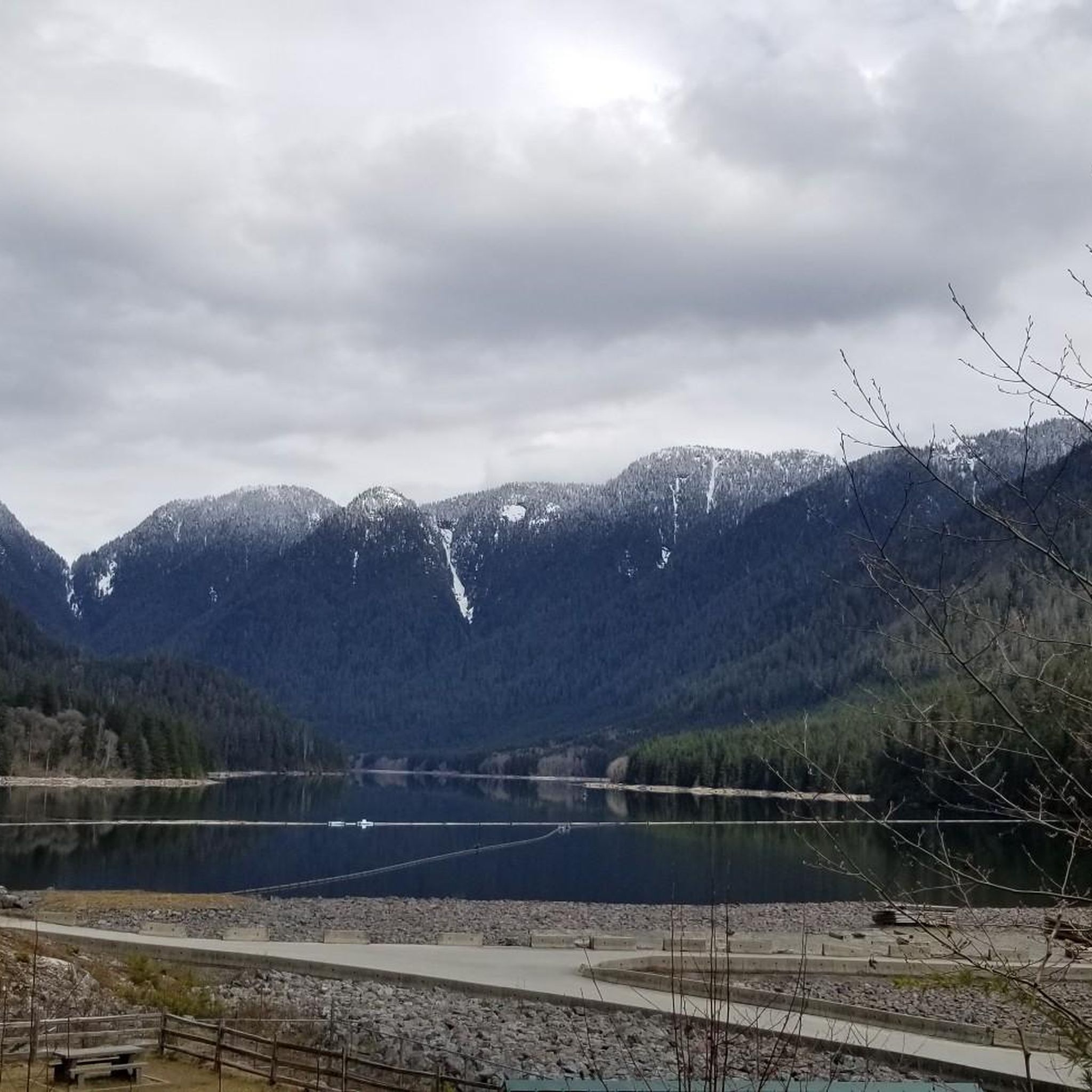
Cyclists can enjoy several notable natural features and landmarks. The Seymour Valley Trailway leads to the Seymour Dam lookout and the Seymour Dam watershed and lake. You can also find the serene Rice Lake within the Lower Seymour Conservation Reserve and cross the impressive Seymour River Suspension Bridge, which connects trails on both sides of the river. The area is also characterized by pristine waters, reservoirs, and dense forested slopes.
What is the best time of year for touring cycling in Seymour Watershed?
The Seymour Watershed is fed by snowmelt and rainfall, ensuring continuous water flow. While specific seasonal recommendations aren't provided, the well-maintained trails are generally accessible for touring cycling during most of the year, with lush forests providing a pleasant environment. Always check local conditions before heading out, especially during winter months.
Are there options for advanced touring cyclists looking for a challenge?
Yes, the Seymour Watershed offers challenging routes for advanced touring cyclists. For instance, the Halfway Hairpin – Seymour Trailway loop from North Vancouver is a difficult 32.3-mile (52.0 km) path featuring significant elevation gain. The Spur 4 route is also described as very hilly, steep, and with rougher terrain, catering to adventurous riders.
Can I spot wildlife while cycling in the Seymour Watershed?
The Seymour River supports a diverse range of wildlife. While cycling, you might spot various fish species such as coho, pink, chum, and chinook salmon, as well as cutthroat and rainbow trout. Black bears are also present in the watershed, so it's important to be aware of your surroundings and follow wildlife safety guidelines.
What do other touring cyclists enjoy most about the routes in Seymour Watershed?
The touring cycling routes in Seymour Watershed are highly rated by the komoot community, with an average score of 4.9 stars from over 60 reviews. Reviewers often praise the well-maintained paved multi-use paths, the stunning natural beauty of the lush forests and reservoir views, and the challenging elevation changes that make for a rewarding ride.
Are there any circular touring cycling routes available?
Yes, many of the touring cycling routes in Seymour Watershed are designed as loops. For example, the Halfway Hairpin – Seymour Trailway loop from Moody Centre is a 47.1-mile (75.7 km) circular trail that takes you through forested areas and along the reservoir.
Is public transport available to access the cycling routes in Seymour Watershed?
The guide does not specify direct public transport options to the trailheads within the Seymour Watershed. However, routes often start from nearby urban centers like North Vancouver or Moody Centre, which are typically accessible by public transport. It is advisable to check local transit schedules and routes to plan your journey to the starting points of the tours.
Are there cafes or amenities near the cycling routes?
The Lower Seymour Conservation Reserve, where many of these routes are located, is primarily a natural area focused on water protection and recreation. While the guide does not list specific cafes directly along the routes, starting points like North Vancouver or Moody Centre would offer various amenities. It's recommended to carry sufficient water and snacks for your ride.
What is the longest touring cycling route in Seymour Watershed?
The longest touring cycling route currently listed is the Seymour Trailway – Ontario Street loop from Oakridge-41st Avenue, covering 104.4 miles (167.9 km) with significant elevation gain, making it a substantial ride for experienced cyclists.

Get inspired with the komoot mobile app


Explore more
Browse the best Cycling routes in other regions.
