The best mountain hikes in Gierather Wald
5
hikers
3
hikes
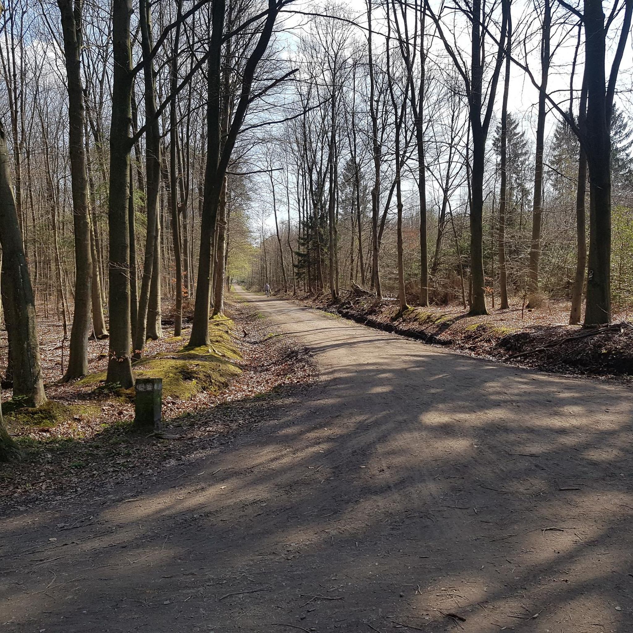
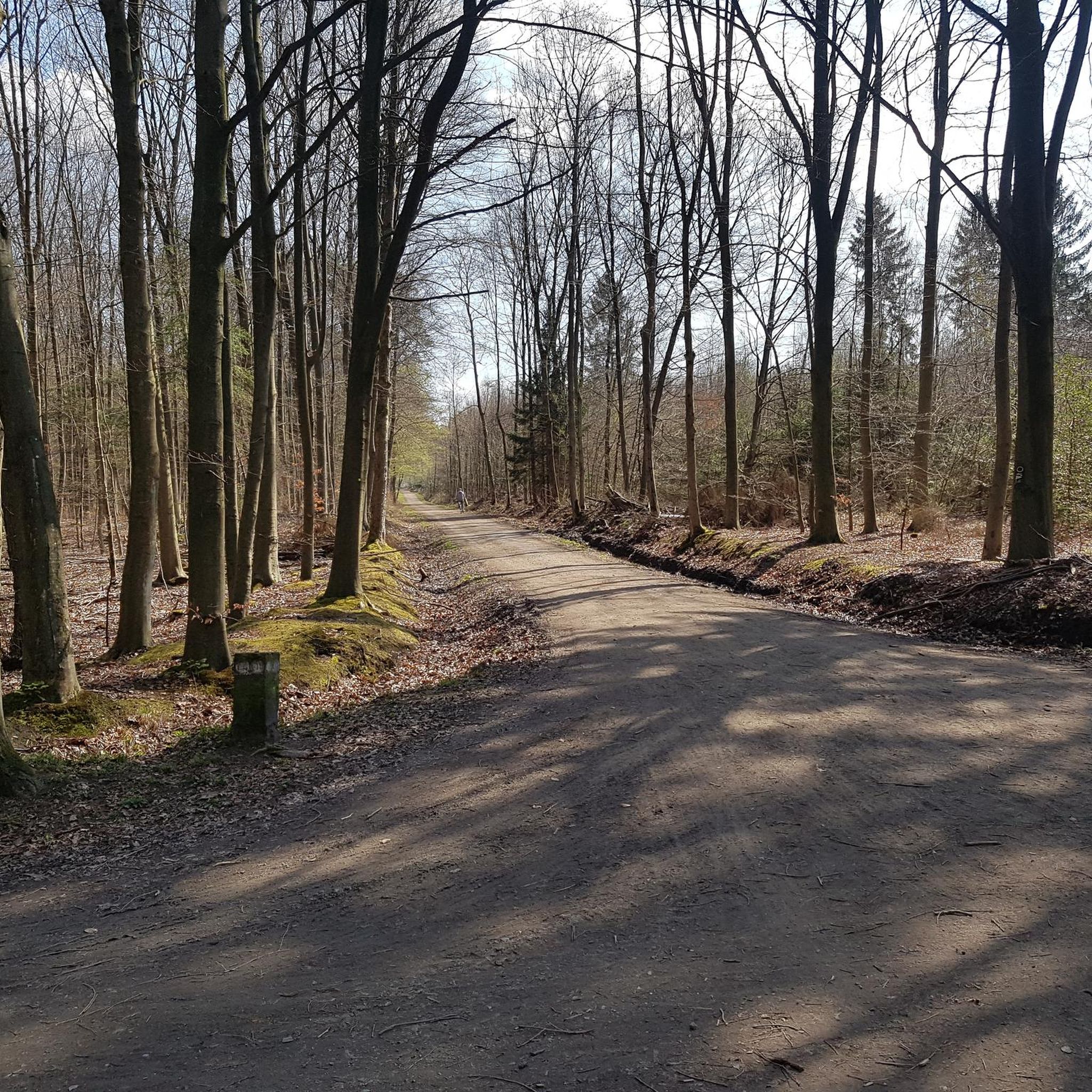
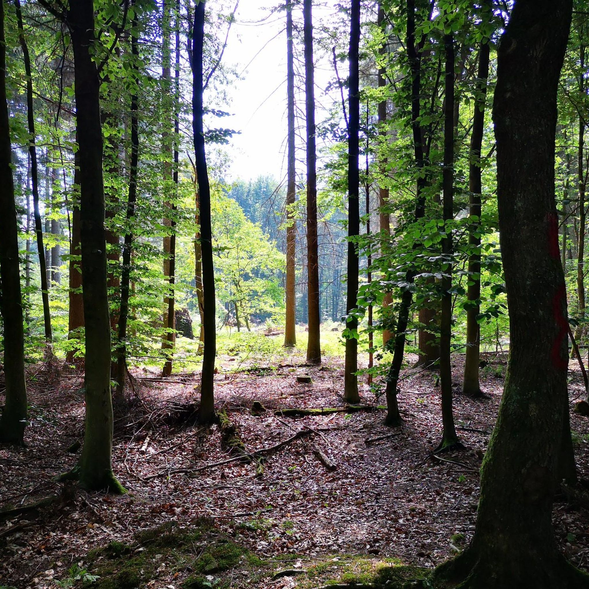
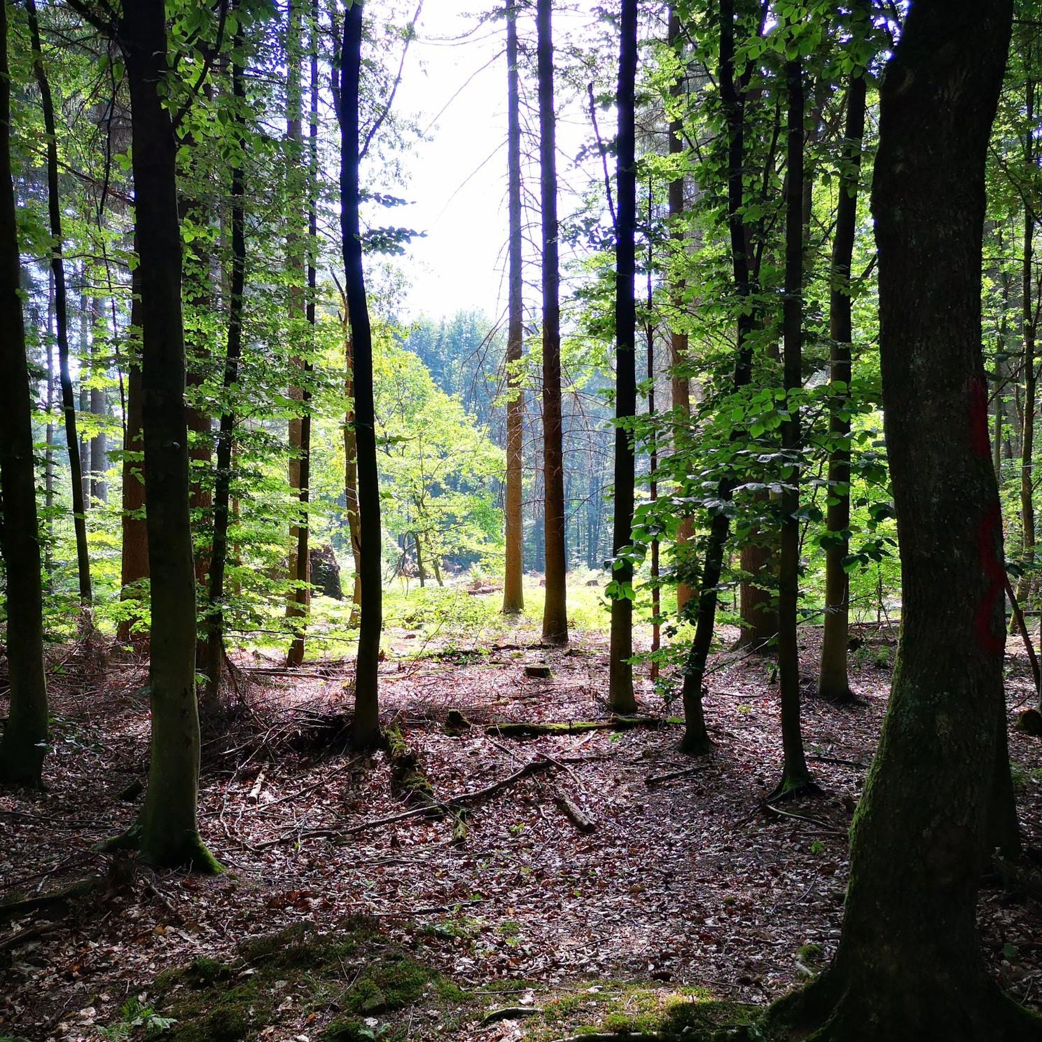
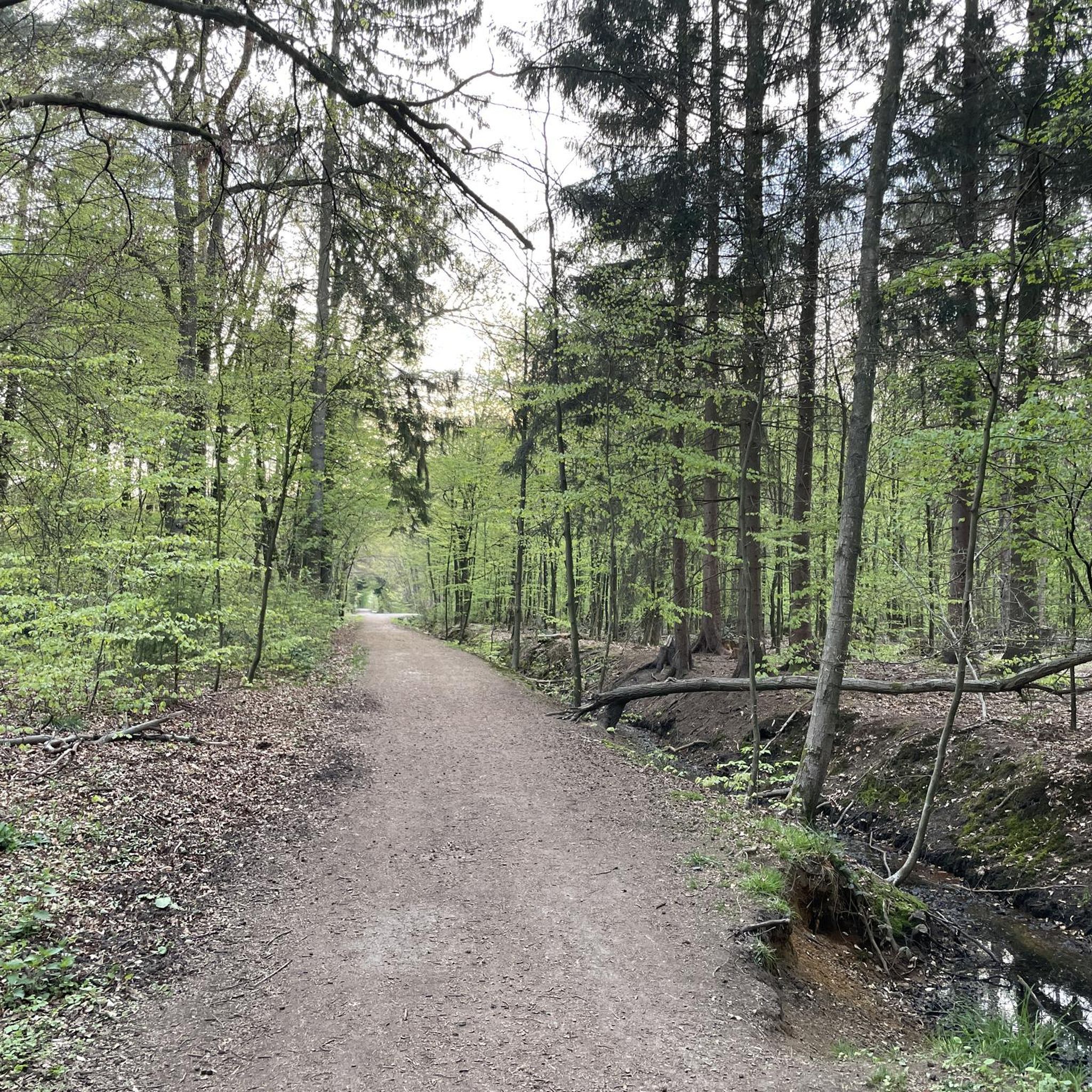
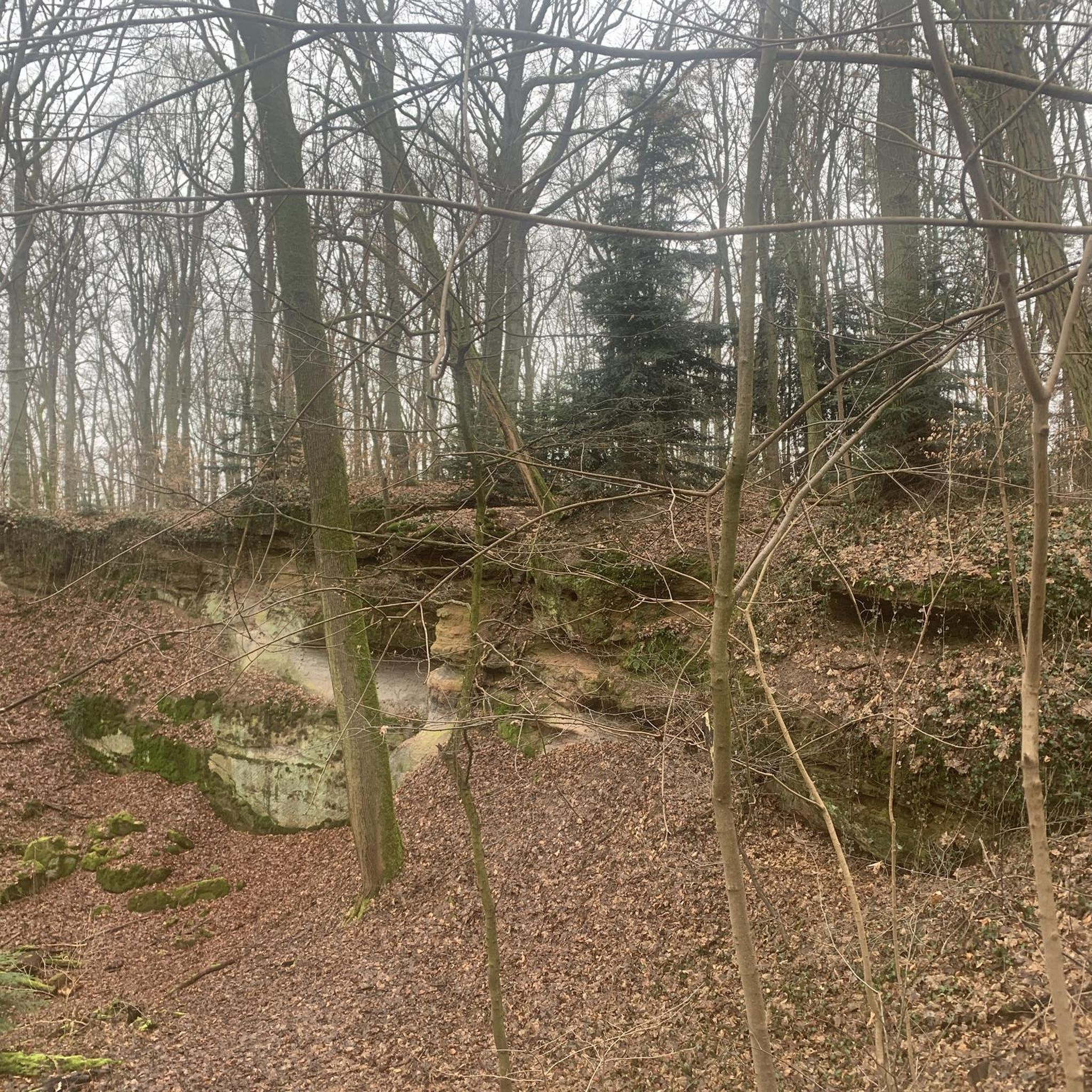
Mountaineering routes in Gierather Wald traverse a nature reserve characterized by diverse forest ecosystems, including beech and oak trees, significant wetlands, and natural meandering streams. The terrain features gentle elevation changes and forest paths, making it suitable for demanding hikes rather than technical climbing. Historical mining traces, such as "Pingen" from 19th-century open-cast iron mining, are also present within the forest.
Best mountaineering routes in Gierather Wald
- The most popular mountaineering route is Kupfersiefer Tal – Schloss Eulenbroich loop from…
Last updated: October 6, 2026
1
hikers
9.97km
02:40
120m
120m
Moderate mountaineering route. Good fitness required. Easily-accessible paths. Suitable for all skill levels.
3
hikers
7.13km
01:57
110m
110m
Easy mountaineering route. Great for any fitness level. Easily-accessible paths. Suitable for all skill levels.

1
hikers
Moderate mountaineering route. Good fitness required. Easily-accessible paths. Suitable for all skill levels.
Our route recommendations are based on thousands of hikes, rides, and runs completed by other people on komoot.
Start today with a free account
Your next adventure awaits.
Tips from the Community

The Sülz River flows powerfully through Hoffnungsthal. This tributary of the Agger, approximately 25 kilometers long, significantly shapes not only the townscape but also the surrounding landscape. Densely vegetated banks and open green spaces line the river. During heavy rainfall, the Sülz often swells rapidly, flooding the areas it surrounds.
1
0
The Kupfersiefer Valley near Rösrath is a protected landscape area that perfectly showcases the diversity of the Bergisches Land region's valleys. Here, the stream meanders naturally for extended stretches, accompanied by damp meadows, old groves, and wooded slopes. The valley provides a habitat for numerous animal and plant species. As you walk through this approximately 65-hectare nature reserve, you can enjoy peace and quiet far removed from the hustle and bustle of everyday life.
2
0

Eulenbroich Castle was built around 1200 as a moated castle and is located in the Sülz river valley, very close to the center of Rösrath. Over the centuries, the building has served many different purposes: as a grand bourgeois villa, as the mayor's residence, and as a retirement home. Since 2003, the Eulenbroich Castle Cultural Association has managed the castle. Today, Eulenbroich Castle is open to the public for concerts, corporate events, markets, seminars, conferences, weddings, communion celebrations, and birthday parties.
0
0


At Hauptstraße 310-312 in Rösrath, you can view the historic site of the Reusch Villas (exterior only). The Karl Reusch Villa (built in 1896) and the Kurt Reusch Villa (built in 1894) stand together in a large English-style park with mature trees. These two villas are among a total of four villas owned by the Reusch brothers. The other pink villa can still be admired on "Am Hammer," a street branching off the main street.
1
0

A beautiful little river that, together with the typical Bergisches village of Hoffnungsthal, creates a great backdrop!
0
0

"The Sülz Valley takes its name from the Sülz River and its two source streams, the Kürtener Sülz and the Lindlarer Sülz. Measured from the source of the Lindlarer Sülz, the Sülz travels 49 km before flowing into the Agger River near Lohmar. This makes the Sülz the most important tributary of the Agger, which in turn drains into the Rhine via the Sieg River." https://www.ich-geh-wandern.de/suelztal "...The name Sülz is derived from the Germanic word *sula- and describes a marshy place, a wallow, or a pool..." https://de.wikipedia.org/wiki/S%C3%BClz_(Fluss)
0
0

There are some beautiful half-timbered houses here; a lovely, winding place. The half-timbered houses are in the typical Bergisch colors with green shutters.
1
0
Frequently Asked Questions
How many mountaineering routes are available in Gierather Wald?
Gierather Wald offers a selection of 3 dedicated mountaineering routes, catering to various skill levels from easy to moderate. These routes are designed to showcase the diverse forest ecosystems and natural beauty of the area.
What is the typical terrain like for mountaineering in Gierather Wald?
The terrain in Gierather Wald is characterized by forest paths and gentle elevation changes. You'll traverse typical deciduous forest landscapes with beech and oak trees, as well as significant wetlands and natural meandering streams. While some routes involve demanding hikes with elevation gains, it's not technical mountaineering requiring high-alpine skills.
Are there routes suitable for beginners or families in Gierather Wald?
Yes, Gierather Wald offers routes suitable for various fitness levels. For beginners or families, the Aussicht auf Venauen – Schloss Eulenbroich loop from Rösrath is an easy 7.1 km path with gentle ascents, perfect for a relaxed outing.
What kind of elevation changes can I expect on these routes?
The routes in Gierather Wald feature gentle to moderate elevation changes. For example, the Kupfersiefer Tal – Schloss Eulenbroich loop from Rösrath has an elevation gain of over 120 meters, while the Franziska Shaft Headframe – View from Lüderich loop from Hoffnungsthal involves around 227 meters of ascent, spread over varied forest landscapes.
Are the mountaineering routes in Gierather Wald circular?
Yes, all the mountaineering routes highlighted in this guide are circular. This means you'll start and end at the same point, offering convenient exploration without the need for return transport. Examples include the Kupfersiefer Tal – Schloss Eulenbroich loop from Rösrath and the Aussicht auf Venauen – Schloss Eulenbroich loop from Rösrath.
What natural features or landmarks can I see along the routes?
Gierather Wald is rich in natural features. You'll encounter diverse forest ecosystems, natural meandering streams, and significant wetlands with peat moss. Points of interest include the Lake Bensberg (west bank) and the Small pond in Gierather Wald, which add to the scenic beauty.
Are there any historical sites to explore in Gierather Wald?
Yes, Gierather Wald holds historical significance. You can find traces of 19th-century open-cast iron mining, such as "Pingen" (mining pits), in the middle of the forest. These remnants from operations like Grube Emma and Grube Hohenzollern offer a glimpse into the region's industrial past. The Brandroster Historic Half-Timbered House is another notable historical site nearby.
Can I bring my dog on the mountaineering trails in Gierather Wald?
Gierather Wald is generally dog-friendly, offering a great environment for walks with your canine companion. Most forest paths are suitable for dogs, but always ensure your dog is kept on a leash, especially in designated nature reserve areas or where wildlife might be present, and remember to clean up after them.
What kind of wildlife might I encounter in Gierather Wald?
The diverse ecosystems of Gierather Wald, particularly its wetlands and swamp forests, provide important habitats for various species. You might encounter amphibians, reptiles, and a variety of birds and insects. Keep an eye out for common forest animals as you explore the trails.
Is there public transport access to Gierather Wald trailheads?
Gierather Wald is generally accessible, and while specific trailhead public transport details vary, the area is within the city limits of Bergisch Gladbach. It's advisable to check local bus or train schedules to nearby towns like Rösrath or Hoffnungsthal, which serve as starting points for routes such as the Franziska Shaft Headframe – View from Lüderich loop from Hoffnungsthal.
Are there cafes or places to eat near the mountaineering routes?
While Gierather Wald itself is a nature reserve, its proximity to Bergisch Gladbach and surrounding towns like Rösrath and Hoffnungsthal means you can find cafes, pubs, and restaurants nearby. It's a good idea to plan your refreshments before or after your tour, as options within the immediate forest area are limited.
Most popular routes in Gierather Wald
Most popular attractions in Gierather Wald

Get inspired with the komoot mobile app


Explore more
Browse the best Mountain Hikes & Routes in other regions.
