The best mountain hikes in Lsg-Ratinger Stadtwald Süd-West
5
hikers
4
hikes
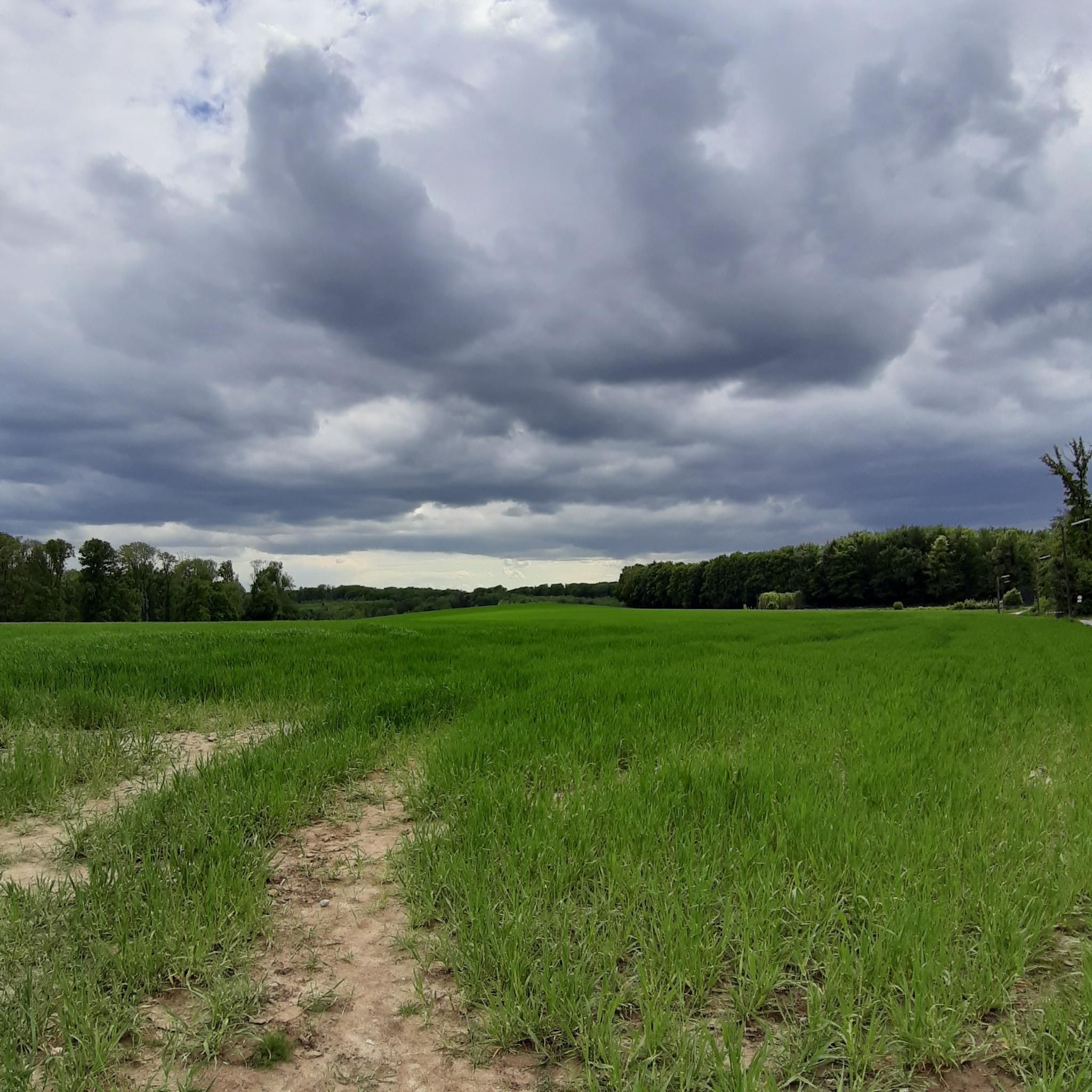
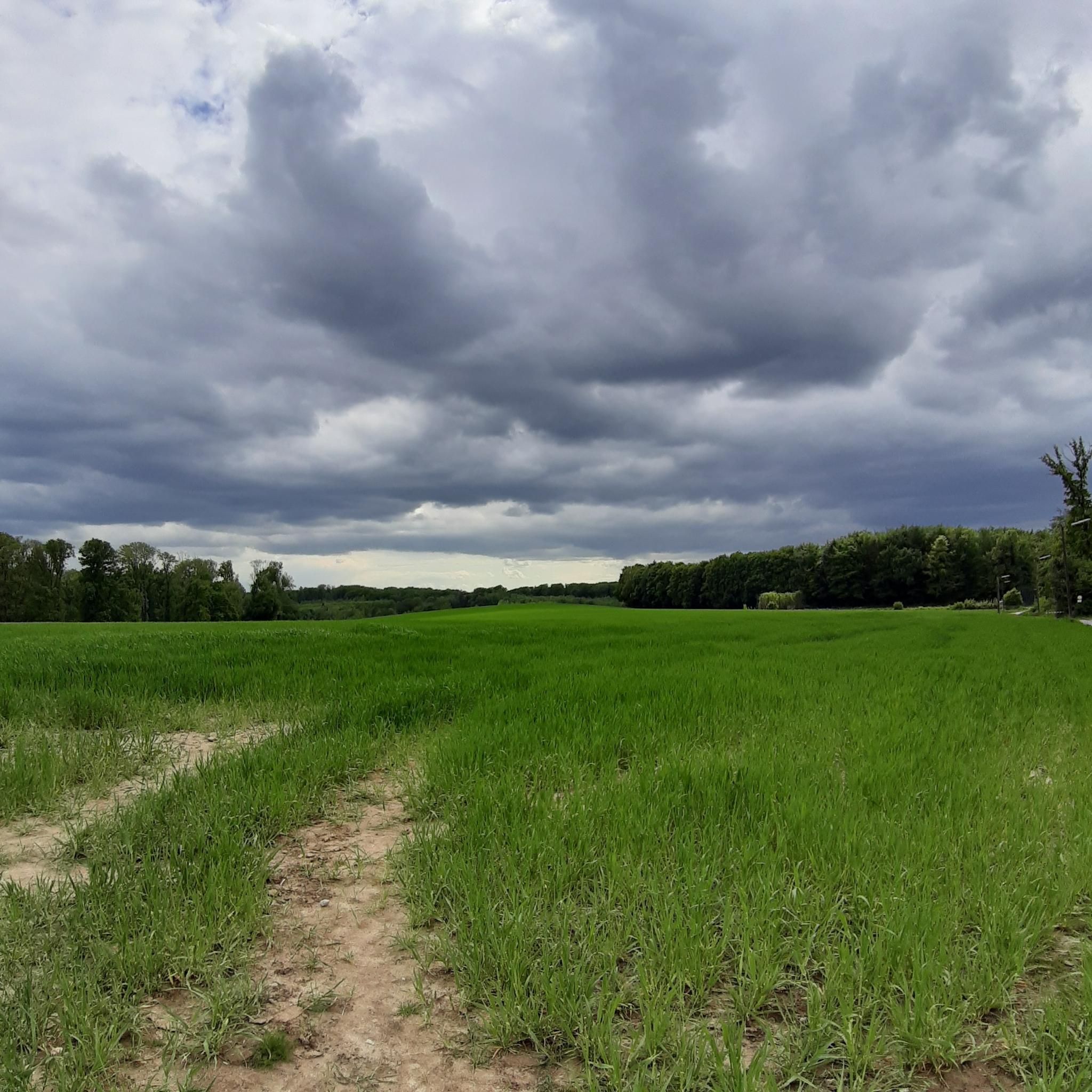
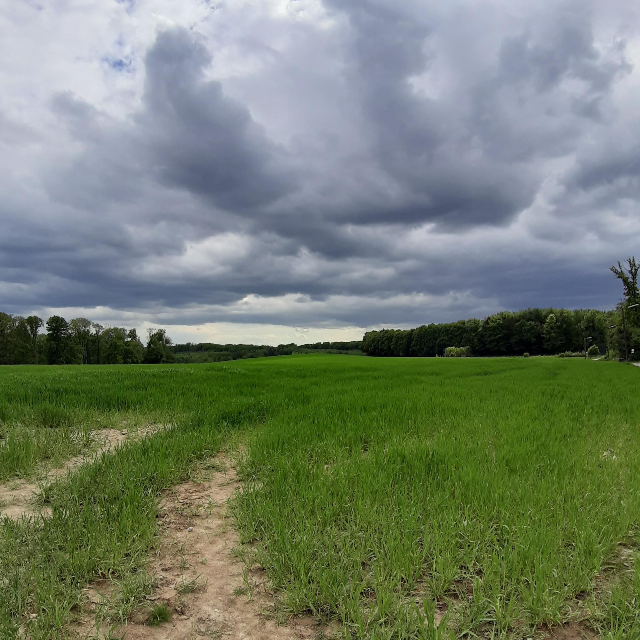
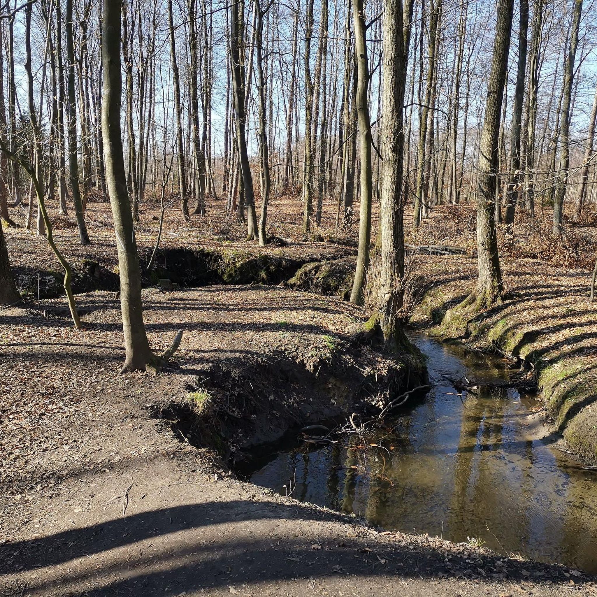
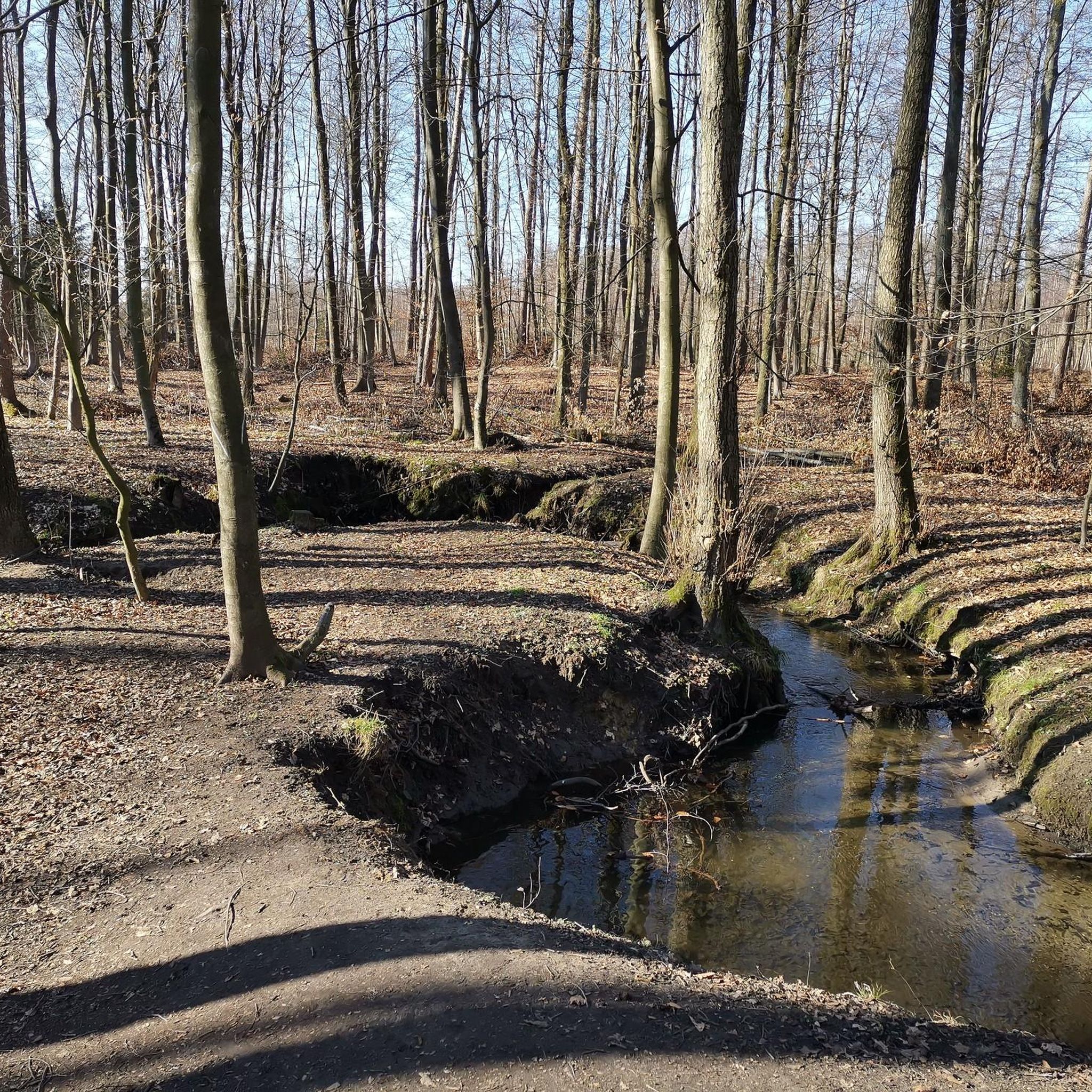
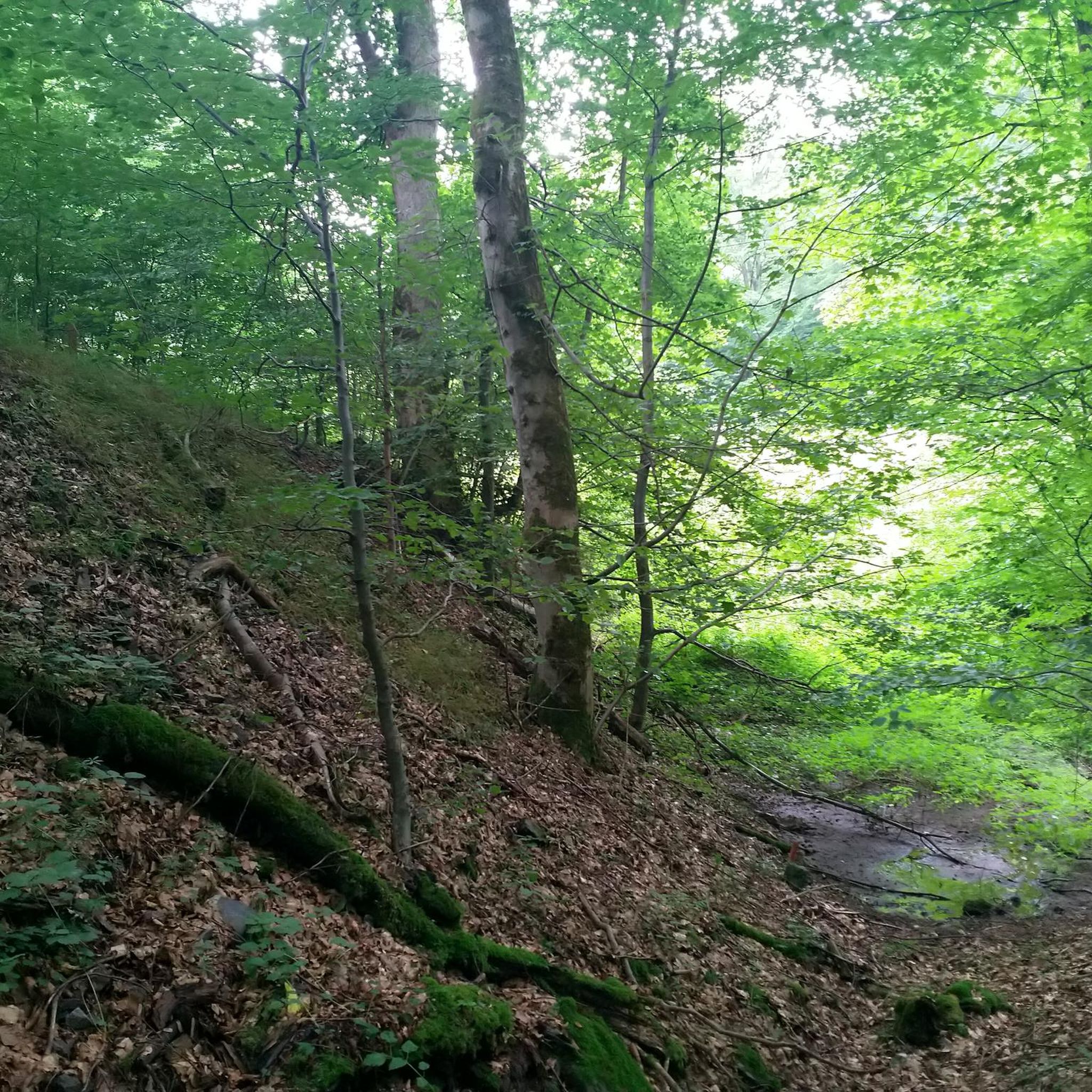
Mountaineering routes in Lsg-Ratinger Stadtwald Süd-West traverse an area characterized by woodlands, gentle hills, and river valleys. The terrain offers varied paths suitable for exploring natural landscapes within a more urban-adjacent setting. Elevation changes are generally moderate, providing accessible options for different skill levels.
Best mountaineering routes in Lsg-Ratinger Stadtwald Süd-West
- The most popular mountaineering route is Anger Valley Nature Trail – A3 Bridge over the Anger Valley loop from Baulofsbruch, a 7.1 miles (11.4 km) trail that takes…
Last updated: July 16, 2026
1
hikers
11.8km
03:10
150m
150m
Moderate mountaineering route. Good fitness required. Easily-accessible paths. Suitable for all skill levels.
1
hikers
Moderate mountaineering route. Good fitness required. Easily-accessible paths. Suitable for all skill levels.

Sign up for free
1
hikers
Easy mountaineering route. Great for any fitness level. Easily-accessible paths. Suitable for all skill levels.
2
hikers
Moderate mountaineering route. Good fitness required. Easily-accessible paths. Suitable for all skill levels.
Our route recommendations are based on thousands of hikes, rides, and runs completed by other people on komoot.
Start today with a free account
Your next adventure awaits.
Login or Signup
Popular around Lsg-Ratinger Stadtwald Süd-West
Tips from the Community

From the 🚗car unspectacular- from below WOW😮 effect: 🌁Mega massive structure, spectacular photo motif 📸- Here the A3 spans 🌲the beautiful, predominantly wooded Angertal🌲.
0
0

The bridge was completed in 1936 and is a massive structure with solid, partly natural stone piers.
1
0

Beautiful historic archway
0
0

Definitely go up to the roundabout with a view of the A3 motorway - we've driven there so many times without ever suspecting the valley below.
1
0

Information about the sculpture "Man in Stag Antlers" by Stefan Balkenhohl: https://www.stadt-ratingen.de/kultur-und-tourismus/museum-ratingen/die-sammlung/kunstweg/stefan-balkenhohl
0
0

A very interesting building, right in the middle of nature.
1
0

The gate of Landsberg Castle in Ratingen (near Essen) is a popular starting point for hikes through the surrounding forests in the Klusenbach Valley, often in combination with a visit to Hugenpoet Castle. The castle itself, a former fortress dating back to the 13th century, is known for its 33-meter-high keep, is now a ThyssenKrupp training center, and is not open to the public for interior tours.
1
0

Helpful for resting in bad weather.
1
0
Frequently Asked Questions
What kind of terrain can I expect on mountaineering routes in Lsg-Ratinger Stadtwald Süd-West?
The routes in Lsg-Ratinger Stadtwald Süd-West primarily traverse woodlands, gentle hills, and river valleys. You'll find varied paths within an urban-adjacent setting, offering a mix of natural landscapes and accessible trails. Elevation changes are generally moderate, making the area suitable for various skill levels.
Are there any easy mountaineering routes suitable for beginners in this region?
Yes, there is at least one easy route perfect for beginners or those looking for a less strenuous experience. Consider the Landsberg Castle – Landsberg Castle Gate loop from Wälder bei Hugenpoet und Landsberg, which is 3.7 miles (5.9 km) long and typically takes about 1 hour 38 minutes to complete.
What is the typical length and duration of mountaineering routes in Lsg-Ratinger Stadtwald Süd-West?
The mountaineering routes in this region vary in length and duration. For example, the Anger Valley Nature Trail – A3 Bridge over the Anger Valley loop from Baulofsbruch is 7.1 miles (11.4 km) and takes around 3 hours 3 minutes. Another option, the Landsberg Castle Gate – Landsberg Castle loop from Wälder bei Hugenpoet und Landsberg, is 7.1 miles (11.5 km) and takes approximately 3 hours 12 minutes.
Are there any circular mountaineering routes available?
Yes, all the featured mountaineering routes in Lsg-Ratinger Stadtwald Süd-West are circular. This includes the Anger Valley Nature Trail – A3 Bridge over the Anger Valley loop from Baulofsbruch, the Landsberg Castle Gate – Landsberg Castle loop from Wälder bei Hugenpoet und Landsberg, and the Landsberg Castle – Landsberg Castle Gate loop from Wälder bei Hugenpoet und Landsberg, allowing you to start and end at the same point.
What historical sites or landmarks can I see along the mountaineering routes?
Several routes offer glimpses of historical sites. The Landsberg Castle Gate – Landsberg Castle loop from Wälder bei Hugenpoet und Landsberg explores woodlands around Landsberg Castle, featuring historical points of interest. You might also encounter other notable landmarks such as Haus zum Haus moated castle or Cromford Manor House in the broader region.
Are the mountaineering routes in Lsg-Ratinger Stadtwald Süd-West suitable for families?
Given the generally moderate elevation changes and the presence of easy routes, many of the trails are suitable for families. The Landsberg Castle – Landsberg Castle Gate loop is an excellent shorter, easy option that families might enjoy.
What is the best time of year to go mountaineering in Lsg-Ratinger Stadtwald Süd-West?
The region's woodlands and river valleys are enjoyable throughout much of the year. Spring and autumn offer pleasant temperatures and beautiful foliage, while summer provides longer daylight hours. Even in winter, with appropriate gear, the trails can be explored, though conditions may vary.
Are there any viewpoints or scenic spots on these trails?
Yes, the routes offer various scenic spots, particularly along river valleys and through dense woodlands. The View of Oefter Tal – View of Im Paradies loop from Fuchslochbachtal / Siepener Bachtal specifically highlights scenic views. You can also find natural attractions like the Dickelsbach Stream and Paths and Bridges at Dickelsbach in the wider area.
What do other mountaineers say about the routes in Lsg-Ratinger Stadtwald Süd-West?
The komoot community appreciates the varied terrain and accessible nature of the routes. Mountaineers often praise the quiet woodlands and the opportunity to explore natural landscapes within this urban-adjacent setting. The presence of historical sites like Landsberg Castle also adds to the appeal.
Are dogs allowed on the mountaineering routes?
Generally, dogs are welcome on trails in natural areas like Lsg-Ratinger Stadtwald Süd-West, especially on leash. However, it's always advisable to check local regulations or specific signage at trailheads for any restrictions, particularly in nature reserves or protected areas.
How many mountaineering routes are available in Lsg-Ratinger Stadtwald Süd-West?
There are several mountaineering routes available in Lsg-Ratinger Stadtwald Süd-West, with this guide featuring four highly-rated options that showcase the best of the region's landscape.
What is the overall difficulty level of mountaineering in this region?
Mountaineering in Lsg-Ratinger Stadtwald Süd-West is characterized by routes ranging from easy to moderate difficulty. There are no routes classified as difficult, making it a welcoming area for a wide range of hikers, from beginners to those with more experience looking for a pleasant outing.
Most popular routes in Lsg-Ratinger Stadtwald Süd-West
Most popular attractions in Lsg-Ratinger Stadtwald Süd-West

Get inspired with the komoot mobile app


Explore more
Browse the best Mountain Hikes & Routes in other regions.
