The best mountain hikes in Kreiswald
5.0
(1)
5
hikers
3
hikes
Mountaineering routes in Kreiswald traverse a landscape characterized by rolling hills and dense woodlands, offering varied terrain for outdoor exploration. While not featuring high alpine peaks, the region provides opportunities for ascents and descents through forested valleys and along ridge lines. These routes are typically found within a low mountain range context, with elevations that offer engaging climbs and scenic viewpoints. The area's geology often includes formations that contribute to the varied nature of its trails.
Best mountaineering routes in…
Last updated: June 28, 2026
5.0
(1)
1
hikers
13.9km
04:01
360m
360m
Moderate mountaineering route. Good fitness required. Easily-accessible paths. Suitable for all skill levels.
2
hikers
Moderate mountaineering route. Good fitness required. Easily-accessible paths. Suitable for all skill levels.

Sign up for free
2
hikers
Moderate mountaineering route. Good fitness required. Easily-accessible paths. Suitable for all skill levels.
Our route recommendations are based on thousands of hikes, rides, and runs completed by other people on komoot.
Start today with a free account
Your next adventure awaits.
Login or Signup

Tips from the Community

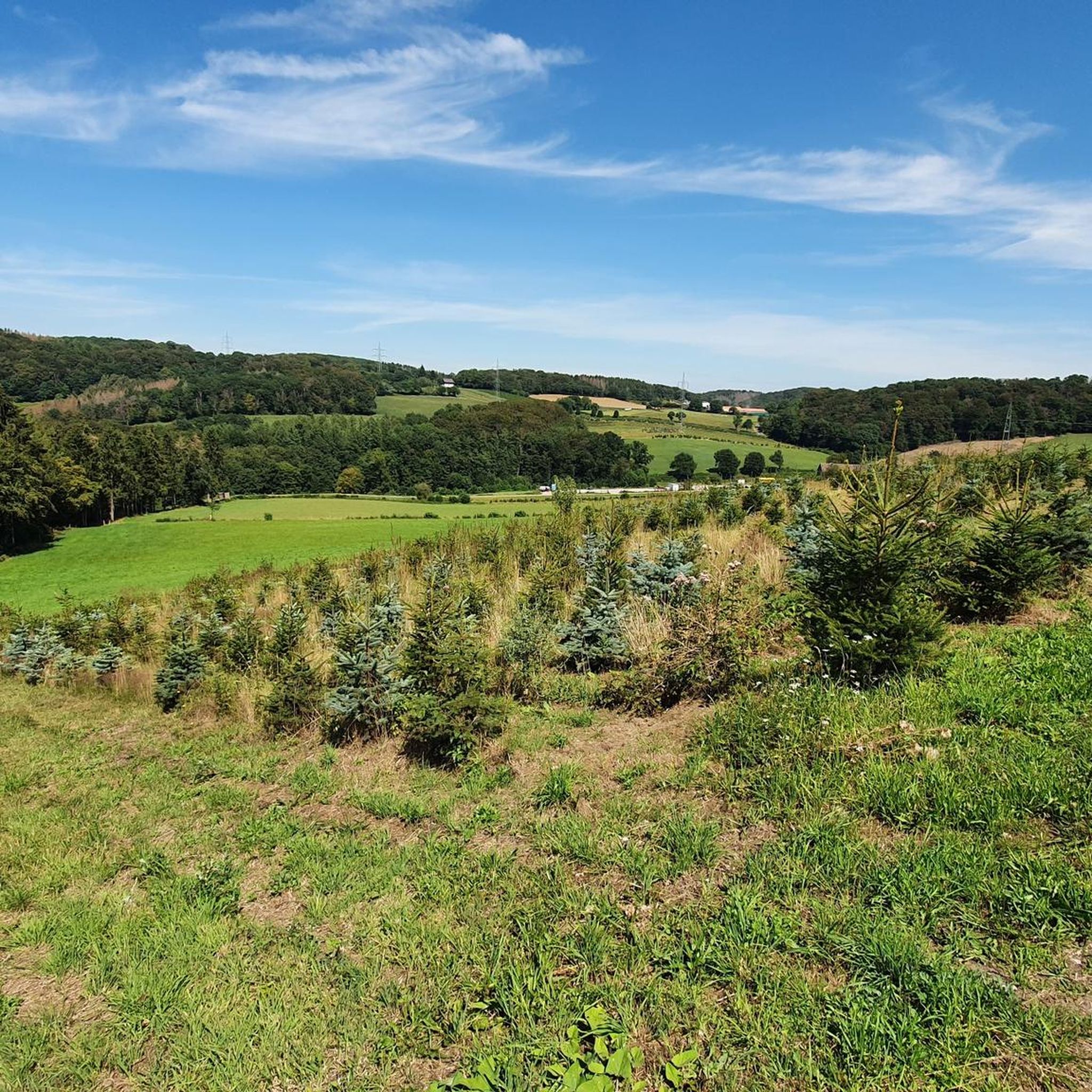
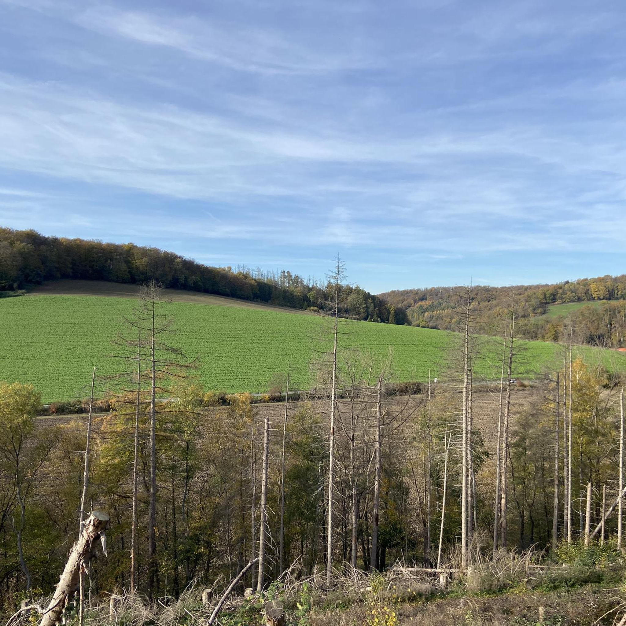
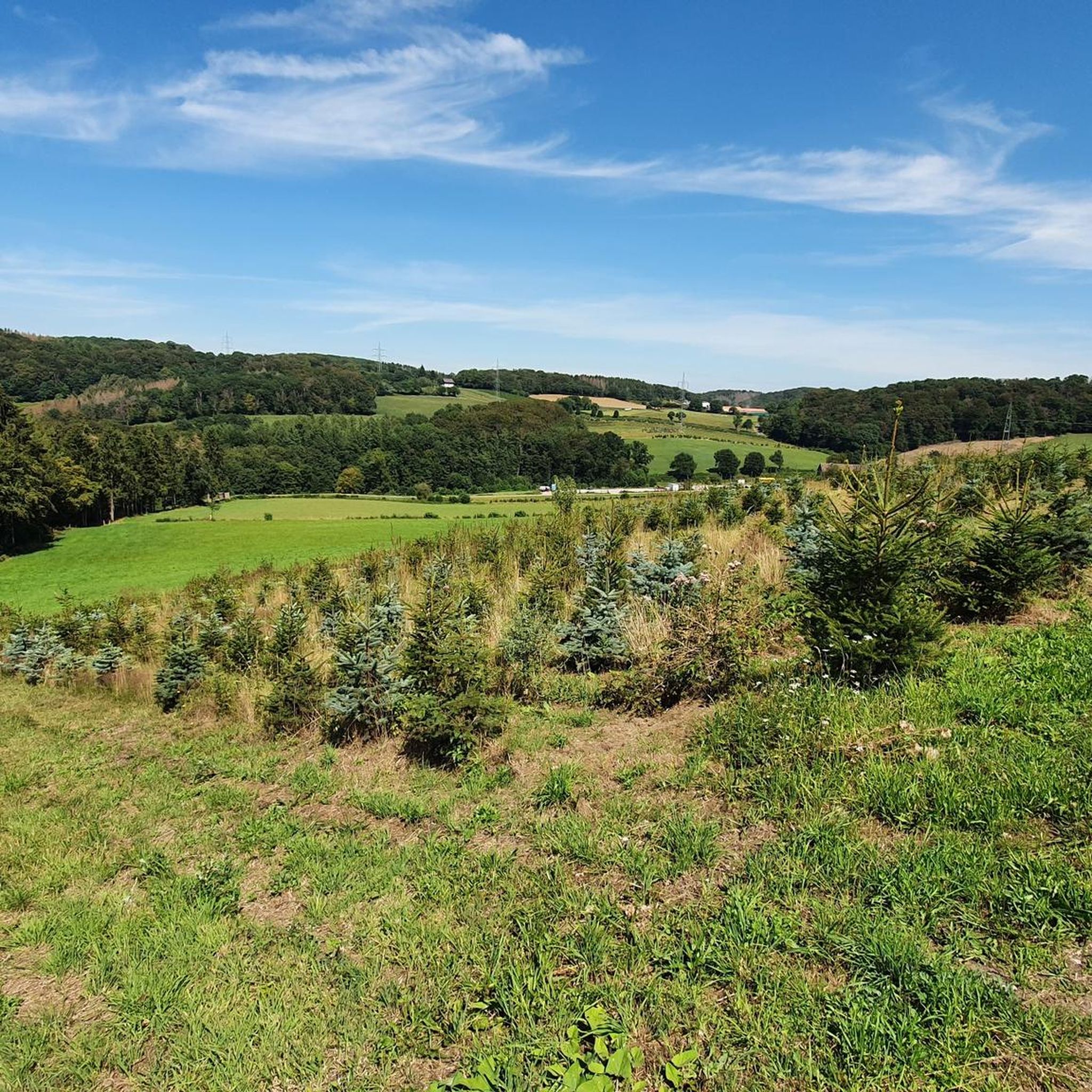
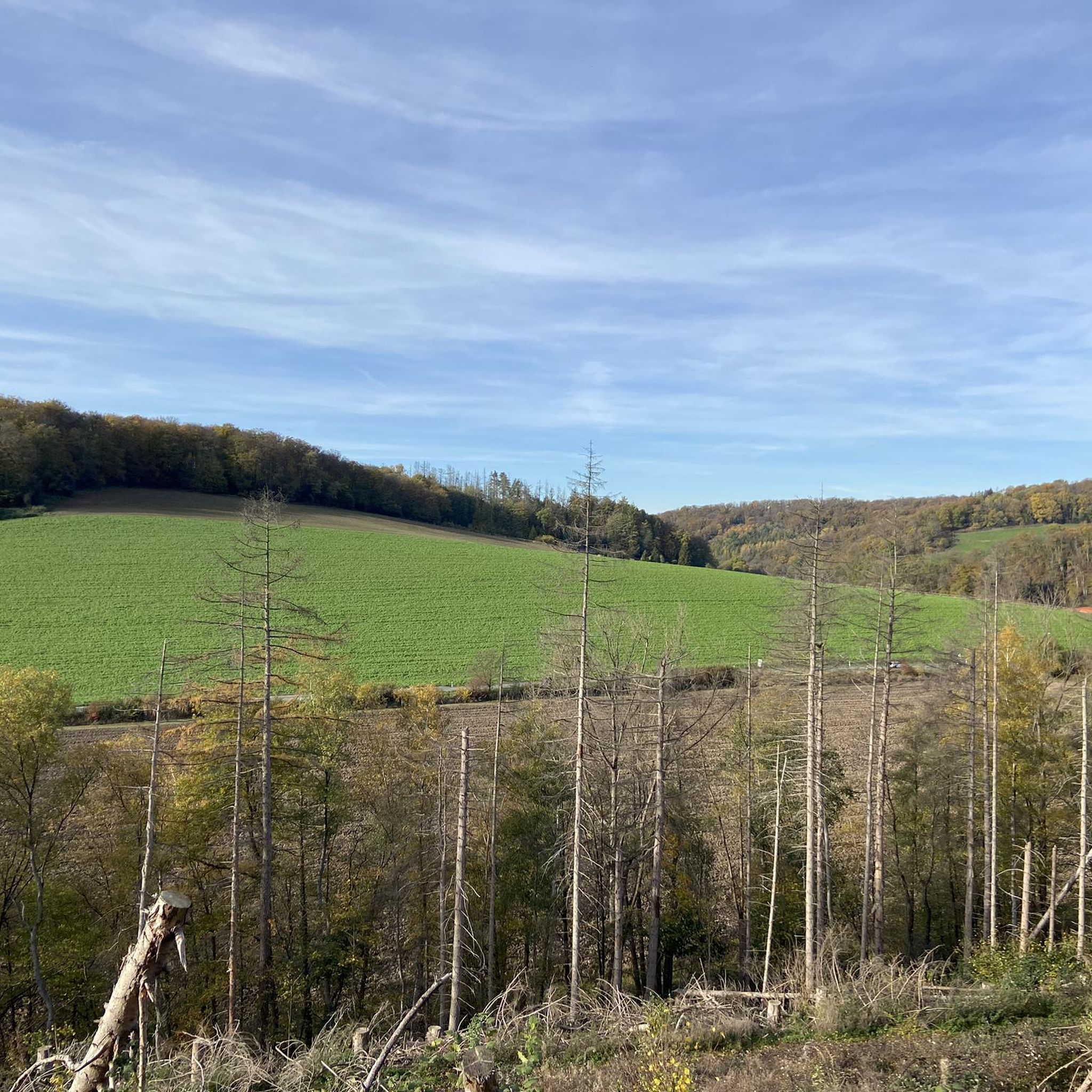
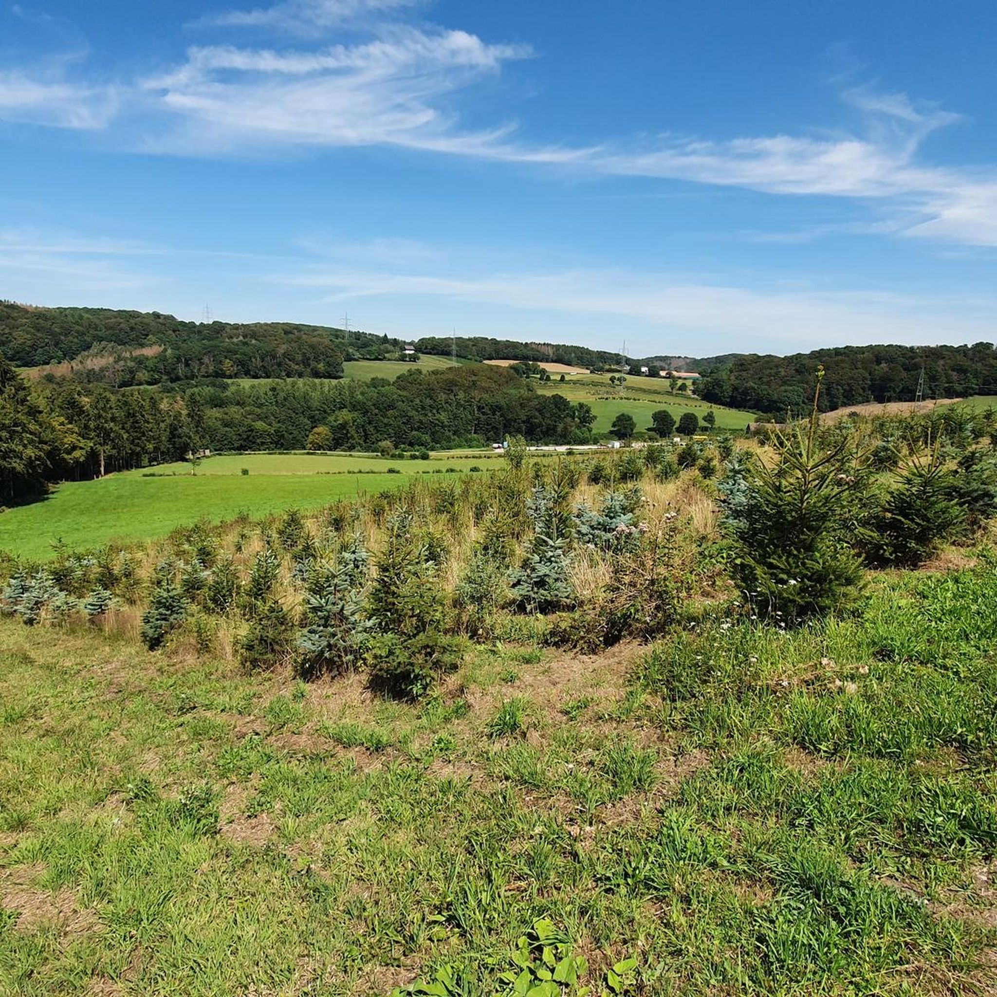
The idyllic Elfringhauser Schweiz is located in North Rhine-Westphalia, on the southern edge of the Ruhr area at the transition to the Bergisches Land, between Hattingen, Sprockhövel, Velbert and Wuppertal.
0
0

Not pretty, but functional. A great starting point for hikes in the beautiful countryside.
0
0

Nice view while waiting for the railway barrier 😉
0
0

Nice hike with good views, better on dry paths
0
0

The part of the Bergisch-Märkisch hilly landscape south of the Ruhr near Elfringhausen between Hattingen, Wuppertal, Sprockhövel and Velbert is known as Elfringhauser Schweiz. Two deep stream valleys, the Deilbachtal and the Felderbachtal, are framed by elevations that are sometimes 300 m high, and numerous brooks lead from the mountain slopes into the valleys. The area west of the Deilbach is part of the Bergisches Land, while the area east of it belongs to the Märkisch part of Westphalia. In addition to agriculture and forestry, the hilly country is primarily used as a recreational area. There are many hiking trails that go up and down. Sometimes you hike through forests, then you go through idyllic valleys, so everything is very varied.
0
2

Great honey and an even more beautiful farm
0
0

From here you can start a nice hike
1
0
A small stream along the hiking route
0
0
Frequently Asked Questions
What kind of mountaineering can I expect in Kreiswald?
Mountaineering in Kreiswald primarily involves navigating rolling hills and dense woodlands within a low mountain range context. These routes offer engaging climbs and descents, providing scenic viewpoints and varied terrain that is more akin to challenging hiking or scrambling rather than high-alpine mountaineering. The focus is on moderate challenges through forested valleys and along ridge lines.
Are there routes suitable for beginners or families in Kreiswald?
Yes, the mountaineering routes in Kreiswald are generally considered moderate, making them accessible for those with some hiking experience or families looking for a more active outing. For example, the Felderbach Valley Nature Reserve – View of Felderbachtal loop from Felderbachtal is a moderate 5.2-mile path with an ascent of about 524 feet, offering a manageable challenge.
How many mountaineering routes are available in Kreiswald?
Komoot currently features a selection of 3 dedicated mountaineering routes in Kreiswald. These routes are highly rated by the komoot community, offering varied terrain for outdoor exploration.
Are there circular mountaineering routes in Kreiswald?
Yes, all the mountaineering routes highlighted in Kreiswald are circular. This allows you to start and end your adventure at the same point, making logistics simpler. A popular option is the Kreiswald loop from Langenberg-Mitte, which is an 8.6-mile circular trail.
What are the typical durations for mountaineering routes in Kreiswald?
The mountaineering routes in Kreiswald vary in length and duration. For instance, the Kreiswald loop from Langenberg-Mitte typically takes around 4 hours to complete, while shorter routes like the View of Felderbachtal – Felderbach Valley Nature Reserve loop from Velbert-Nierenhof can be finished in about 2 hours 22 minutes.
What kind of natural attractions can I see along the mountaineering routes?
Along the mountaineering routes in Kreiswald, you can discover various natural attractions. Highlights include the View of Felderbachtal, the tranquil Elfringhauser Schweiz Meadow, and the serene Forest lake at Juttermannsberg. You might also encounter charming water features like the Pond Cascade at Kleines Paradies.
Are there any good viewpoints along the mountaineering trails in Kreiswald?
Yes, the routes in Kreiswald offer several scenic viewpoints. The View of Felderbachtal is a notable spot, and you can also enjoy the View of the Ruhr region from Bergerhof, providing expansive vistas of the surrounding landscape.
What do other mountaineers enjoy most about Kreiswald?
The mountaineering routes in Kreiswald are highly rated by the komoot community, with an average score of 5.0 stars. Users often praise the varied terrain, the beauty of the forested hills, and the rewarding valley views that define the experience in this region.
Is Kreiswald suitable for mountaineering with dogs?
While the guide data doesn't explicitly state dog-friendliness for each route, the natural landscape of rolling hills and woodlands in Kreiswald generally lends itself to walks with dogs. It's always advisable to check local regulations for specific nature reserves or protected areas you might pass through and ensure your dog is well-behaved and on a leash where required.
What is the best season for mountaineering in Kreiswald?
Given the region's characteristics of rolling hills and dense woodlands, mountaineering in Kreiswald is enjoyable across multiple seasons. Spring and autumn offer pleasant temperatures and vibrant foliage, while summer provides longer daylight hours. Winter can also be beautiful, though conditions may require appropriate gear for snow or ice, especially on ascents and descents.
Are there any unique geological features to explore in Kreiswald?
While Kreiswald itself is known for its forested hills, the broader region, particularly areas like the Odenwald (a low mountain range with similar characteristics), features interesting geological formations. For example, the Odenwald has a 'Felsenmeer' (cliff sea) with weathered stones, which might offer opportunities for bouldering or rock scrambling. The geology of Kreiswald contributes to the varied nature of its trails, often including formations that create engaging climbs.
Are there any lakes or water features along the routes in Kreiswald?
Yes, several routes in Kreiswald pass by or offer views of charming water features. You can find the serene Forest lake at Juttermannsberg, the Felderbach Pond at Laaker Mühle, and the picturesque Pond Cascade at Kleines Paradies, adding to the scenic beauty of your mountaineering experience.
Most popular routes in Kreiswald
Most popular attractions in Kreiswald

Get inspired with the komoot mobile app


Explore more
Browse the best Mountain Hikes & Routes in other regions.
