The best cycling routes around Pradosegar
5.0
(2)
17
riders
7
rides
Touring cycling around Pradosegar, located in Spain's Valle Amblés, offers varied terrain from valley floors to mountain ascents. The region features elevations ranging from approximately 1,200 meters to over 2,000 meters in the surrounding Sierra de la Serrota. Cyclists can experience rugged peaks, high-altitude valleys, and open woodlands, with scenic waterways like the Arroyo de los Tejos adding to the natural landscape. The area is characterized by quiet roads and dehesa landscapes, providing diverse options for touring cyclists.
Best touring…
Last updated: October 16, 2026
4
riders
28.2km
02:08
360m
360m
Moderate bike ride. Good fitness required. Mostly paved surfaces. Suitable for all skill levels.
2
riders
36.6km
03:01
290m
290m
Moderate bike ride. Good fitness required. Mostly paved surfaces. Suitable for all skill levels.

5.0
(1)
2
riders
21.7km
01:57
580m
580m
Hard bike ride. Very good fitness required. Mostly paved surfaces. Suitable for all skill levels.
2
riders
14.8km
01:14
310m
310m
Moderate bike ride. Good fitness required. Mostly paved surfaces. Suitable for all skill levels.
3
riders
55.9km
04:13
910m
910m
Hard bike ride. Very good fitness required. You may need to push your bike for some segments of this route.
Get access to more routes and recommendations from other explorers.
Already have an account?
Our route recommendations are based on thousands of hikes, rides, and runs completed by other people on komoot.
Start today with a free account
Your next adventure awaits.
Popular around Pradosegar

Tips from the Community

From Puerto de Villatoro itself, a road appears in a northerly direction that goes towards the center of Villanueva del Campillo, with impressive views of the area.
0
0
Small town that is located at the foot of the northern side of the Sierra de Ávila and that the center is governed by the parish church of San Juan Bautista. It is worth taking a stroll through its streets.
1
0
Small town that is located in what is called the Valle de Amblés and that is a few kilometers from its capital, Ávila. From the core, you can begin to see the first forms of the Sierra de Paramera and Gredos.
0
0
The relief of the municipality is formed by two mountainous areas separated by the Amblés valley, through which the Adaja river runs, which is born in the territory. The northern area is called Sierra de Villanueva, a branch of the Sierra de Ávila.
0
0
Mountain pass located in the center of the province of Ávila and which is 1,499 meters above sea level and connects the Amblés valley with San Juan del Olmo and the Muñico valley.
0
0

Listed as one of the most beautiful towns in Spain, it is worth crossing through its cobbled streets.
0
0
Frequently Asked Questions
How many touring cycling routes are available around Pradosegar?
There are 4 touring cycling routes detailed around Pradosegar on komoot, offering a variety of experiences from moderate loops to more challenging ascents.
What kind of terrain can I expect on touring cycling routes near Pradosegar?
Touring cycling around Pradosegar offers a diverse topography, ranging from undulating valley floors in the Valle Amblés to significant mountain ascents in the Sierra de la Serrota. You'll encounter rugged peaks, high-altitude valleys, open woodlands, and scenic dehesa landscapes, with elevations varying from approximately 1,200 meters to over 2,000 meters.
Are there any circular touring cycling routes in the Pradosegar area?
Yes, several routes are designed as loops. For example, the Oco Village Water Pond – Muñogalindo loop from Muñana is a popular moderate circular route. Another option is the Bike loop from Narros del Puerto, which offers a mix of open countryside and woodlands.
What natural features or landmarks can I see while cycling around Pradosegar?
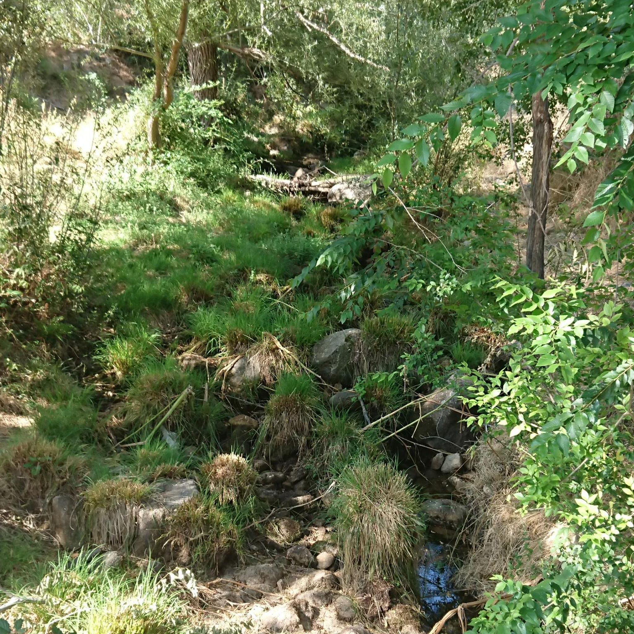
The region is rich in natural beauty. You can expect to see the scenic Arroyo de los Tejos with its cascades, and the expansive Valle Amblés. Highlights along routes include the Chía Pass (1,663 m), Las Fuentes Pass, and the summit of Serrota. The area is also known for its diverse wildlife, including various raptors.
Are there any family-friendly touring cycling options near Pradosegar?
While specific 'easy' routes are not highlighted, the moderate loops through the Valle Amblés, characterized by open countryside and woodlands, could be suitable for families with some cycling experience. These routes often feature quiet roads with little traffic, enhancing safety and enjoyment.
What is the best time of year for touring cycling in Pradosegar?
Spring and autumn are generally the most recommended seasons for touring cycling in Pradosegar. The climate features cold, dry winters and hot summers, but spring and autumn are often rainy, making these seasons potentially lush and vibrant for outdoor activities with more comfortable temperatures.
Where can I find parking for touring cycling routes in Pradosegar?
Given the rural nature of Pradosegar and the surrounding villages like Muñana, Narros del Puerto, and Casas del Puerto, parking is typically available in or near the starting points of the routes. Look for public parking areas within these villages.
Are there any challenging touring cycling routes for experienced riders?
Yes, the region offers challenging routes, particularly those venturing into the Sierra de la Serrota. The Puerto de Villatoro – Las Fuentes Pass loop from La Torre is classified as difficult, featuring significant elevation gains of over 900 meters, appealing to experienced touring cyclists seeking a physical challenge.
What are some historical sites or points of interest accessible by touring bike?
The area around Pradosegar has historical significance. You can explore the Castle of Bonilla de la Sierra loop from Casas del Puerto, which leads through historical areas. Other points of interest include the Rollo de Muñotello and the Ruins of Monasterio del Risco, offering glimpses into the region's past.
Are there places to eat or stay near the touring cycling routes?
Pradosegar and nearby villages offer local amenities. While specific establishments aren't listed, the presence of villages like Muñana, Narros del Puerto, and Casas del Puerto suggests you can find local cafes, pubs, or small accommodations to refuel and rest during or after your rides.
What are the typical distances and durations for touring cycling routes in this area?
Routes vary in length and time. For instance, the Oco Village Water Pond – Muñogalindo loop from Muñana is about 28.2 km (17.5 miles) and takes around 2 hours 8 minutes. Longer routes like the Puerto de Villatoro – Las Fuentes Pass loop from La Torre stretch to 56.3 km (35 miles) and can take over 4 hours to complete.
Is public transport available to access touring cycling routes around Pradosegar?
Pradosegar is a rural village in the Valle Amblés. While direct public transport links to specific trailheads might be limited, regional bus services connect Pradosegar to larger towns like Ávila. Cyclists should check local bus schedules for routes that accommodate bicycles, as options may be infrequent.
Most popular routes around Pradosegar
Most popular attractions around Pradosegar

Get inspired with the komoot mobile app


Explore more
Browse the best Cycling routes in other regions.
