The best road cycling routes around Pradosegar
3.0
(1)
87
riders
7
rides
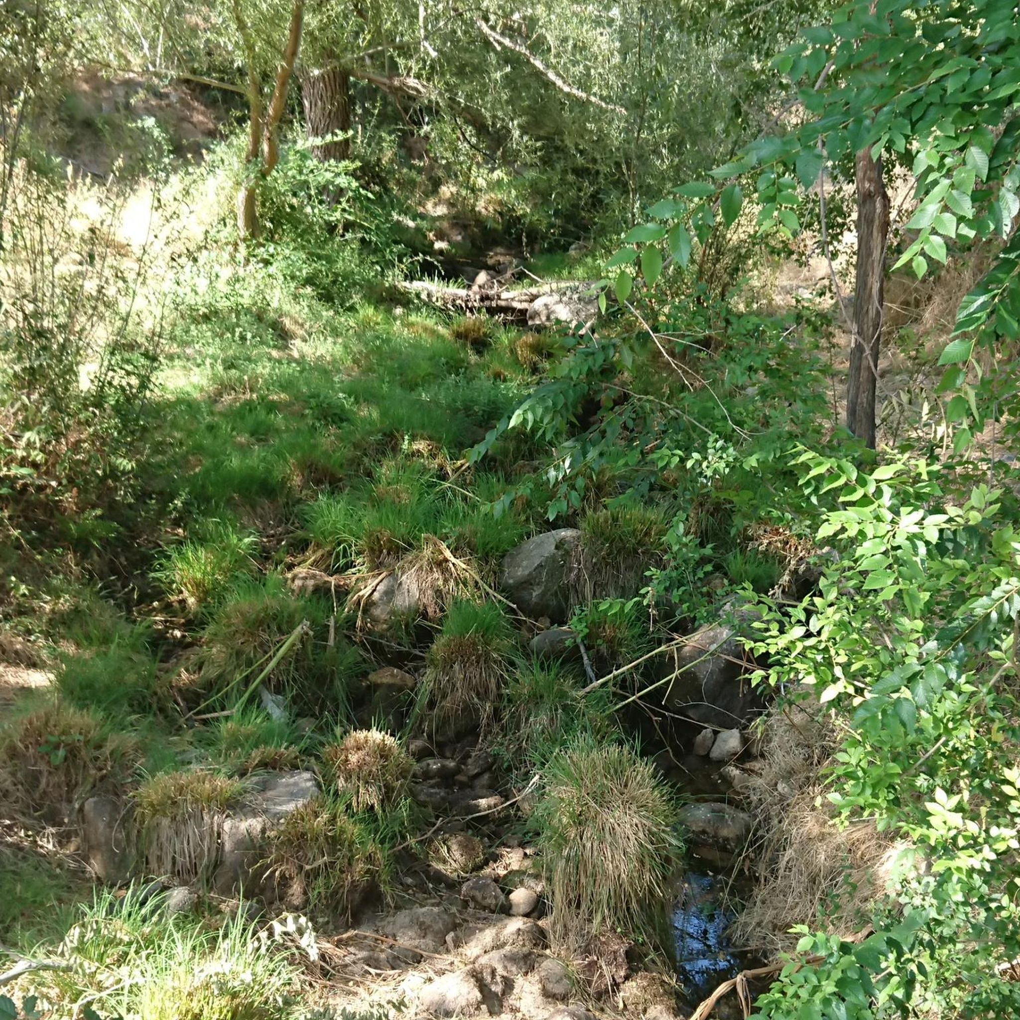
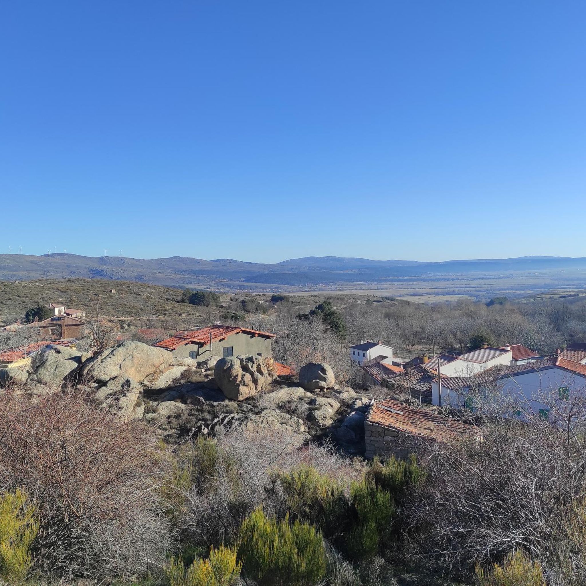
Road cycling routes around Pradosegar are situated in the Valle Amblés, at the base of the Serrota mountains in Ávila, Spain. The terrain features significant altitude variations, with the village at approximately 1200 meters and surrounding areas reaching up to 2000 meters. This landscape provides a range of challenging ascents and descents for road cyclists. The region is characterized by mountain passes, valleys, and streams, offering diverse routes.
Best road cycling routes around Pradosegar
- The most popular road cycling route…
Last updated: July 1, 2026
2
riders
147km
07:20
2,360m
2,350m
Hard road ride. Very good fitness required. Mostly well-paved surfaces and easy to ride.
3.0
(1)
55
riders
109km
06:11
2,380m
2,380m
Hard road ride. Very good fitness required. Some segments of this route may be unpaved and difficult to ride.

Sign up for free
11
riders
89.9km
04:42
1,450m
1,450m
Hard road ride. Very good fitness required. Mostly well-paved surfaces and easy to ride.
11
riders
93.6km
04:50
1,580m
1,580m
Hard road ride. Very good fitness required. Some segments of this route may be unpaved and difficult to ride.
5
riders
126km
06:31
2,090m
2,080m
Hard road ride. Very good fitness required. Mostly well-paved surfaces and easy to ride.
Get access to more routes and recommendations from other explorers.
Sign up for free
Already have an account?
Our route recommendations are based on thousands of hikes, rides, and runs completed by other people on komoot.
Start today with a free account
Your next adventure awaits.
Login or Signup
Popular around Pradosegar
Tips from the Community

It's an open pass in the inhospitable landscape typical of this area. It's highly recommended because it offers easy connections to other passes such as Serranillos and Mijares.
0
0

A relatively simple port, with good asphalt and road visibility, moderate (average 5%) and constant gradients. It can be tricky on a windy day.
0
0

beautiful stretch of road on the plateau
0
0

Beautiful views, on a good day you can see people taking off on paragliders.
0
0
A magnificent mountain pass to climb by bike with magnificent views from either side.
0
0
This slope is gentler than the northern slope and much shorter, with just 4 km and 2 of them hard, with some considerable ramps in the pair of horseshoe curves that there are. The road is inhospitable and therefore with very little traffic. The asphalt is uneven and rough, which adds hardness to the climb. Most of the secondary roads in this area are like this, which gives it a lot of charm. The landscape in summer is dry land, very typical of the northern area of Gredos and the northern plateau in general. I climbed the pass one early morning in August and I really enjoyed the solitude and silence of nature.
0
0

From Puerto de Villatoro itself, a road appears in a northerly direction that goes towards the center of Villanueva del Campillo, with impressive views of the area.
0
0
Beautiful and at the same time small town that is characterized by the Sierra de la Serrota and to the north, by the "dehesas" that are close to the Río Alberche (Dehesa de San Martín and Dehesa de las Cañadas).
0
0
Frequently Asked Questions
What kind of terrain can I expect on road cycling routes around Pradosegar?
Road cycling around Pradosegar offers a diverse and challenging terrain. Situated in the Valle Amblés at the foot of the Serrota mountains, routes feature significant altitude variations, with the village at approximately 1200 meters and surrounding areas reaching up to 2000 meters. You'll encounter high-altitude mountain passes, valleys, and streams, providing a mix of sustained climbs and descents.
Are there any family-friendly road cycling routes in Pradosegar?
The road cycling routes around Pradosegar are generally characterized by significant elevation changes and are often rated as moderate to difficult. While there isn't a specific route designated as 'easy' in our current selection, the varied terrain means that some sections might be more manageable for families with older, experienced children. It's always best to review the elevation profiles before setting out.
What natural features or landmarks can I see along the road cycling routes?
The region is rich in natural beauty and historical sites. Along your rides, you might encounter the three local streams—Arroyo de los Hornillos, Arroyo de la Gargantilla, and Arroyo de los Tejos—with the latter featuring a notable waterfall and natural pools. You can also explore historical ruins of hydraulic mills. For specific viewpoints and passes, consider visiting Chía Pass (1,663 m) or Las Fuentes Pass, both offering stunning vistas.
What is the best time of year for road cycling in Pradosegar?
Pradosegar offers picturesque scenery throughout different seasons. The vibrant autumn colors are particularly appealing. Given the significant altitude, spring and autumn generally provide pleasant temperatures for cycling. Summers can be warm, especially in the valleys, while winters might bring colder conditions and potential snow at higher elevations, making some routes more challenging or inaccessible.
Are there any circular road cycling routes available?
Yes, several circular routes are popular among road cyclists in Pradosegar. For instance, you can try the challenging Rodeo a la Sierra de la Panamera — circular por el Puerto de Navalmoral, which covers nearly 147 km. Another option is the Peña Negra Pass – Puerto de Villatoro loop from Puerto de Villatoro, a difficult 106 km path with sustained climbs and descents.
What do other road cyclists enjoy most about cycling in Pradosegar?
The road cycling routes in Pradosegar are highly rated by the komoot community, with an average score of 3.0 stars. Cyclists often praise the varied terrain, which includes high-altitude mountain passes and the scenic Valle Amblés, offering both challenging ascents and rewarding descents. The tranquil environment away from heavy traffic also contributes to an enjoyable experience.
Are there any historical sites or cultural stops I can incorporate into my ride?
Absolutely. Pradosegar and its surroundings offer several cultural points of interest. You can visit the 15th-century Iglesia de San Cristóbal in the village, or the renovated historical livestock installation known as the Potro de RARP. Further afield, you might find archaeological remains like the 'Casas de los Moros' or the medieval rock-cut tomb. The Ruins of Monasterio del Risco also provide a glimpse into the region's past.
What is the difficulty level of road cycling routes in Pradosegar?
The road cycling routes around Pradosegar are predominantly challenging. Out of the seven available routes, six are rated as 'difficult' and one as 'moderate'. This is due to the significant elevation changes, including climbs up to 2000 meters, making the area ideal for experienced cyclists seeking demanding rides through mountainous terrain.
Are there any cafes or places to stop for refreshments along the routes?
While specific cafes directly on every route are not detailed, Pradosegar itself is a village with amenities. Given its peaceful environment, you can expect to find local establishments in the village or nearby towns where you can refuel and rest. It's always a good idea to plan your stops in advance, especially on longer, more remote routes.
How many road cycling routes are available around Pradosegar?
There are 7 distinct road cycling routes available around Pradosegar, offering a variety of distances and challenges for cyclists.
What is the longest road cycling route in the area?
The longest road cycling route available is Rodeo a la Sierra de la Panamera — circular por el Puerto de Navalmoral. This challenging route spans approximately 146.8 km (91.2 miles) and typically takes around 7 hours and 20 minutes to complete, featuring substantial elevation gain.
Can I find routes that include specific mountain passes?
Yes, many routes in the Pradosegar area incorporate notable mountain passes. For example, the Las Fuentes Pass – Puerto de Villatoro loop from La Torre takes you through significant mountain passes and valleys. Another option is the Puerto de Villatoro – Peña Negra Pass loop from Estación de Servicio El Carrascal, which offers a demanding ride over high-altitude terrain.
Most popular routes around Pradosegar
Most popular attractions around Pradosegar

Get inspired with the komoot mobile app


Explore more
Browse the best Road cycling routes in other regions.
