The best running trails in Mount Fernie Provincial Park
5.0
(1)
64
runners
8
runs
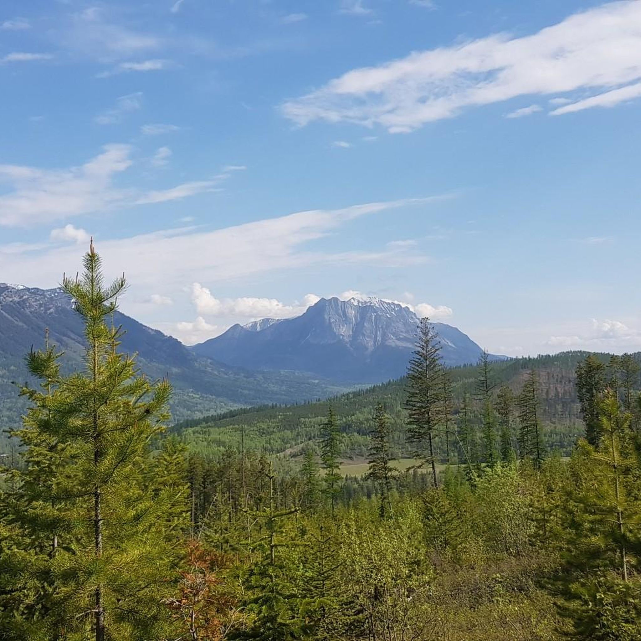
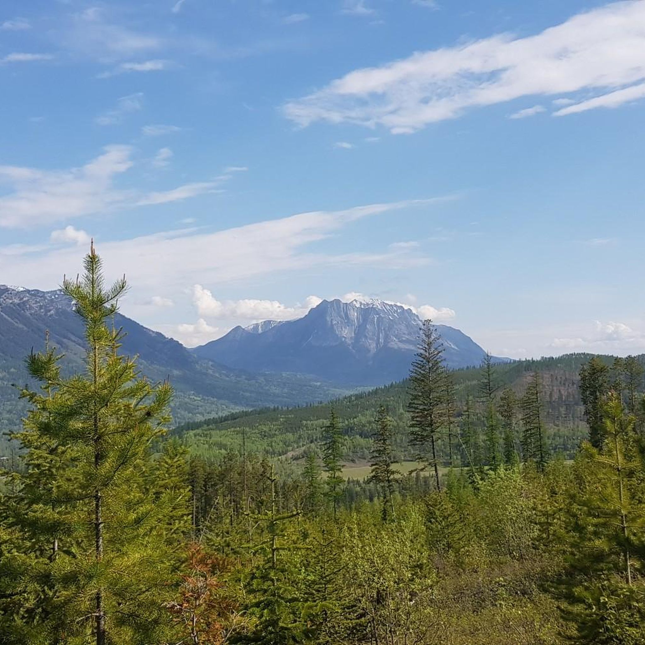
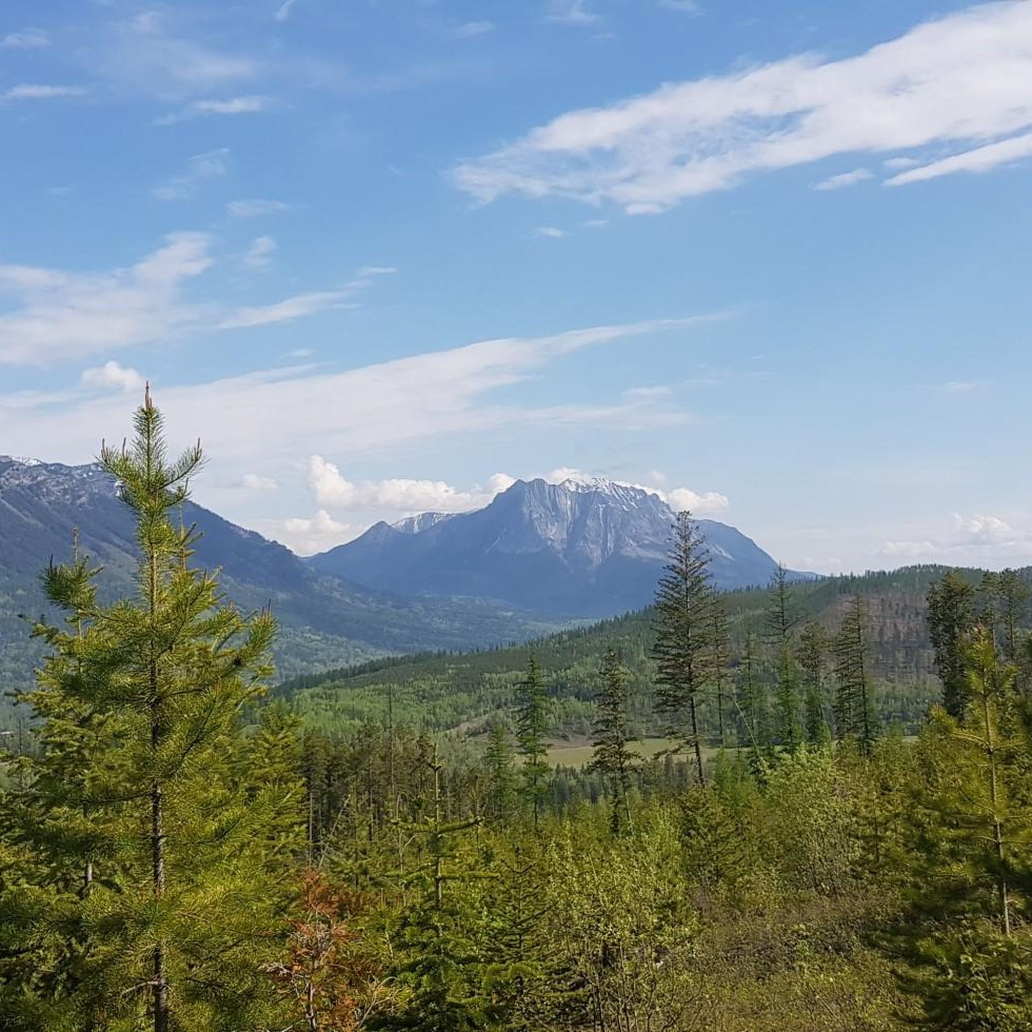
Jogging routes in Mount Fernie Provincial Park are set within the southern Kootenay Range, offering a diverse landscape for outdoor activity. The park features extensive multi-use trails that weave through varied forests, including western larch and Douglas fir, alongside the drainage area of Lizard Creek. Runners can expect a mix of terrain, from "cushy underfoot" paths ideal for jogging to more challenging ascents, all shadowed by the impressive Mount Fernie. The region is characterized by lush forests, the serene Lizard…
Last updated: August 22, 2026
4
runners
4.58km
00:29
40m
30m
Easy run. Great for any fitness level. Mostly paved surfaces. Suitable for all skill levels.
21
runners
6.47km
00:41
30m
30m
Moderate run. Good fitness required. Mostly paved surfaces. Suitable for all skill levels.

Sign up for free
5
runners
11.2km
01:24
190m
190m
Moderate run. Good fitness required. Mostly paved surfaces. Suitable for all skill levels.
5.0
(1)
9
runners
8.67km
00:58
30m
30m
Moderate run. Good fitness required. Mostly paved surfaces. Suitable for all skill levels.
6
runners
13.4km
01:26
90m
90m
Moderate run. Good fitness required. Mostly paved surfaces. Suitable for all skill levels.
Get access to more routes and recommendations from other explorers.
Sign up for free
Already have an account?
Our route recommendations are based on thousands of hikes, rides, and runs completed by other people on komoot.
Start today with a free account
Your next adventure awaits.
Login or Signup
Popular around Mount Fernie Provincial Park
Tips from the Community

James White Park is a very nice local park that has a couple of walking trails connecting to the Town Loop trail, tennis courts, baseball diamonds, and open green space.
0
0
The southern end of the Town Loop trail ends here on Pine Avenue with a very nice view of Coal Creek. From here there is a path that continues to the east connecting to the Montane Trails.
0
0

Montane Blue is one of the easier trails within Fernie’s Montane Trail Network, winding through open Douglas fir forest and grassy hillsides on the lower slopes of Castle Mountain. The mostly smooth singletrack makes for a pleasant walking route, while frequent openings in the trees reveal views across the Elk Valley and surrounding peaks. Wildflowers are common along the trail in summer, and the gentle gradients make it a good introduction to the wider Montane network before tackling the steeper trails higher up.
0
0

The Elk River flows 220 kilometres until reaching the Lake Koocanusa reservoir by the U.S.-Canada border. It is managed as a "Quality Waters Fishery," which is open to fishing with certain regulations so as to help with larger, healthier fish populations. There's also summer rafting, with rapids near Fernie, and a mellower river float.
0
0
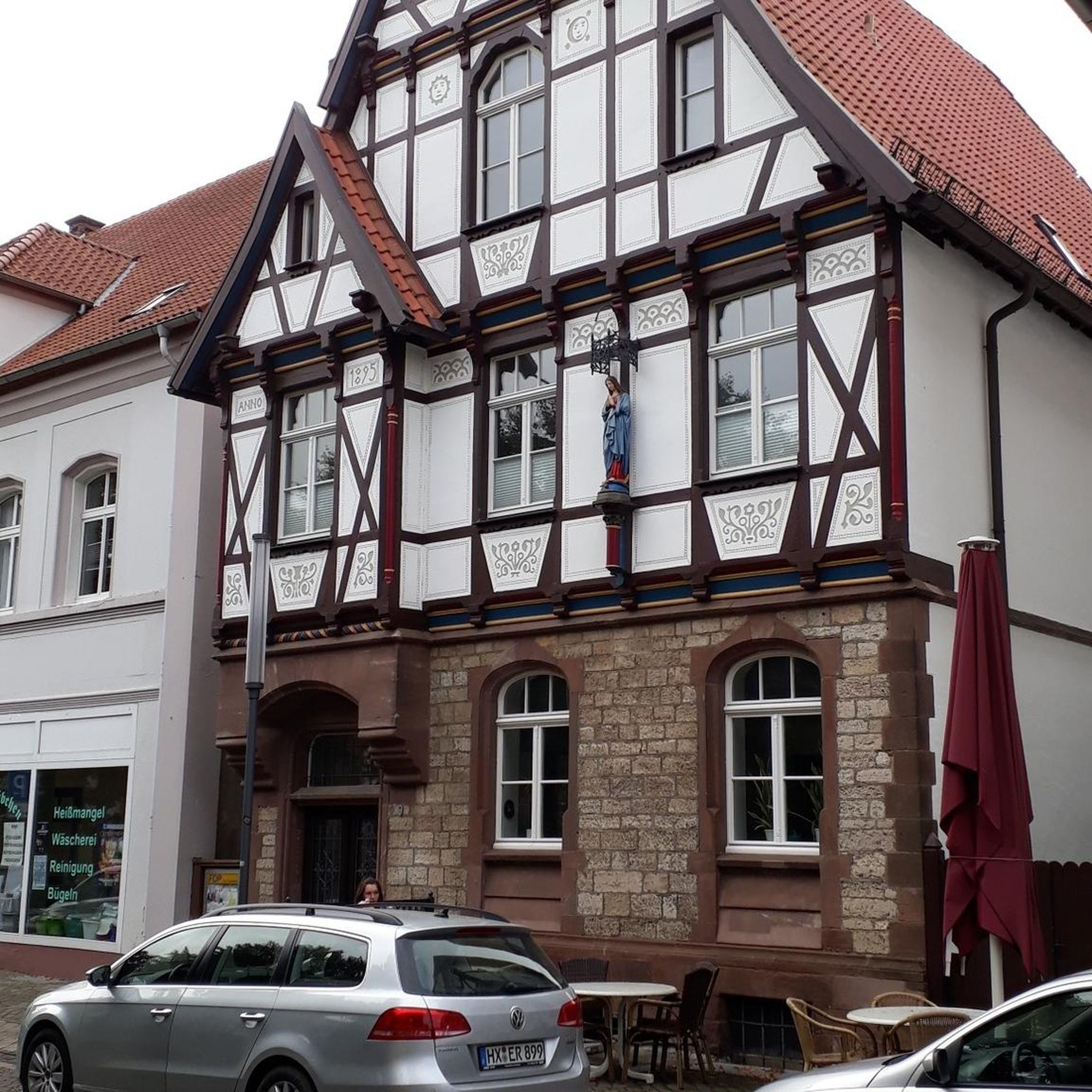
Fernie is a little mountain town, home to year-round outdoor activity. In winter there's the Fernie Alpine Resort for skiing and snowboarding, and in summer there's downhill biking, hiking, and resort activities. Fernie has a population under 10,000 people, and it has a charming downtown to explore.
0
0

Coal Creek flows down from the mountains outside of Fernie before emptying into the Elk River. There's a ghost-town of the same name along its stretch that was abandoned after the local mine closed in the 1950s.
0
0
This viewpoint is located near the high point of the Montane Nordic trail and rewards your efforts with amazing views across the valley and surrounding mountains. The trail is open year-round so it's worth visiting at different times of year. The Warming Hut is maintained by the Fernie Trails and Ski Touring Club and is open to members of the public.
0
0
Located in in southeastern British Columbia, Fernie is known for its deep powder snow in the winter and its historic downtown area. However, like many other ski towns, Fernie has plenty of mountain bike trails to entice visitors throughout the summer. You'll find everything from gentle gravel trails to lift serviced downhill runs.
0
0
Frequently Asked Questions
How many running routes are available in Mount Fernie Provincial Park?
Mount Fernie Provincial Park offers a network of 9 diverse running routes. These trails cater to various preferences, from easy paths to more challenging ascents, all set against the stunning backdrop of the Kootenay Range.
Are there running routes suitable for beginners or families in Mount Fernie Provincial Park?
Yes, the park features trails suitable for all abilities, including easy options perfect for beginners or families. For instance, the Coal Creek loop from Fernie is an easy 4.6 km path along the creek, ideal for a gentle run.
What kind of terrain can I expect on the jogging trails in Mount Fernie Provincial Park?
The trails in Mount Fernie Provincial Park offer a varied experience. Many are described as 'cushy underfoot,' making them ideal for jogging. You'll find paths weaving through diverse forests of western larch and Douglas fir, alongside creek beds, and some routes include solid climbs and descents for a more challenging workout.
What natural features or scenic spots can I see while running in the park?
Joggers can enjoy the picturesque Lizard Creek, which features a beautiful waterfall, and the dramatic views of Mount Fernie itself. The routes also pass through diverse forests with old-growth trees, rich plant life, and offer opportunities to spot local wildlife like deer and elk.
Are there any circular running routes in Mount Fernie Provincial Park?
Yes, many of the running routes in the park are circular, allowing you to start and finish at the same point. Examples include the popular Boat Launch and Outhouse loop from Fernie and the longer Elk River – Coal Creek loop from Fernie.
Can I bring my dog on the running trails in Mount Fernie Provincial Park?
Mount Fernie Provincial Park is generally dog-friendly, with many multi-use trails suitable for running with your canine companion. However, it's always recommended to keep dogs on a leash and be mindful of wildlife, especially bears, which are present in the area. Always check local park regulations for any specific restrictions.
What is the best time of year for running in Mount Fernie Provincial Park?
The park's trails are accessible year-round. While vehicle access may be limited in winter, the trails remain open for foot traffic, allowing for cold-weather jogging or snowshoeing. Spring, summer, and fall offer ideal conditions to enjoy the diverse forests and scenic views.
Are there longer running routes for more experienced runners?
Absolutely. For those seeking a longer challenge, routes like the Fernie, BC – Boat Launch and Outhouse loop from Fernie cover over 13 km with moderate elevation changes, providing a good workout and extended scenic views.
Where can I find parking for the running trails in Mount Fernie Provincial Park?
The park offers various access points, and its extensive trail network connects directly to the City of Fernie. Parking is typically available at designated trailheads within the park or in areas connecting to the city, making it convenient to start your run.
What do other runners enjoy most about jogging in Mount Fernie Provincial Park?
The komoot community, with over 70 runners exploring the area, frequently praises the park's diverse forests, the 'cushy underfoot' trails, and the stunning mountain backdrops provided by Mount Fernie. The variety of routes catering to different skill levels is also a highlight.
Are there any amenities near Mount Fernie Provincial Park after a run?
Yes, the park's proximity to the City of Fernie means you can easily access a range of amenities. After your run, you'll find restaurants, cafes, and shops in Fernie to refuel and relax.
What are some of the more challenging running routes in the park?
While the guide highlights moderate routes, the park's trail network includes more challenging options with significant climbs and descents, such as those leading towards Island Lake. These routes are perfect for runners looking for a high-vertical workout.
Most popular routes in Mount Fernie Provincial Park

Get inspired with the komoot mobile app


Explore more
Browse the best Running Trails & Routes in other regions.
